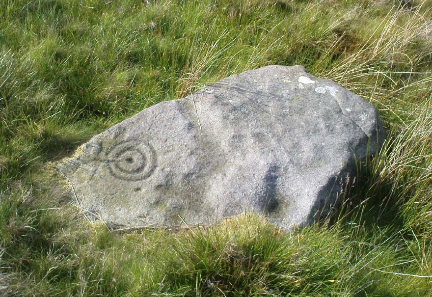
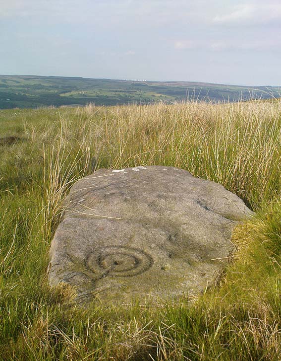
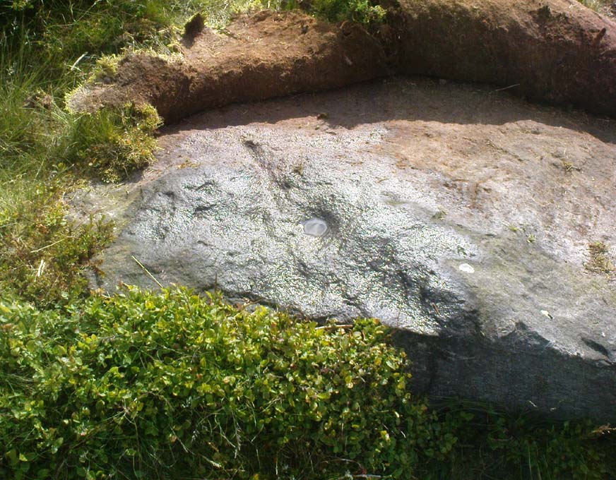
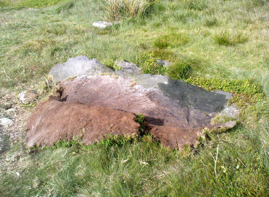
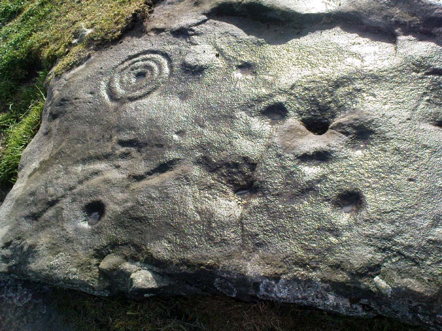
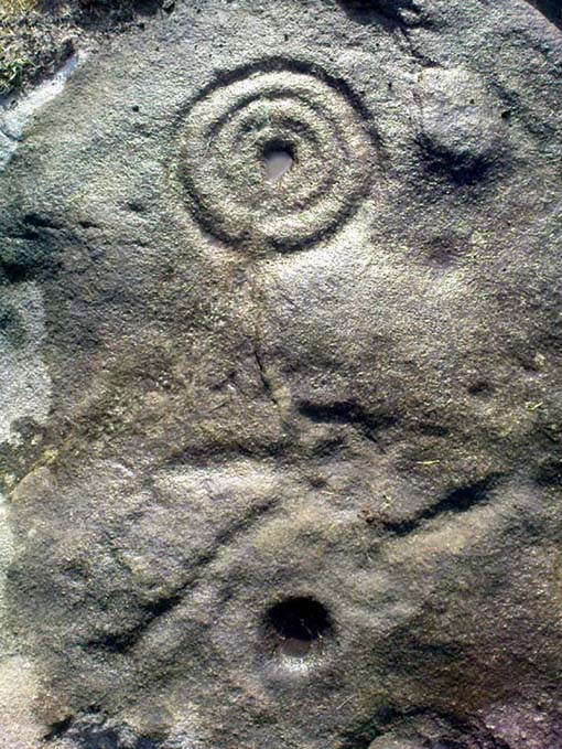
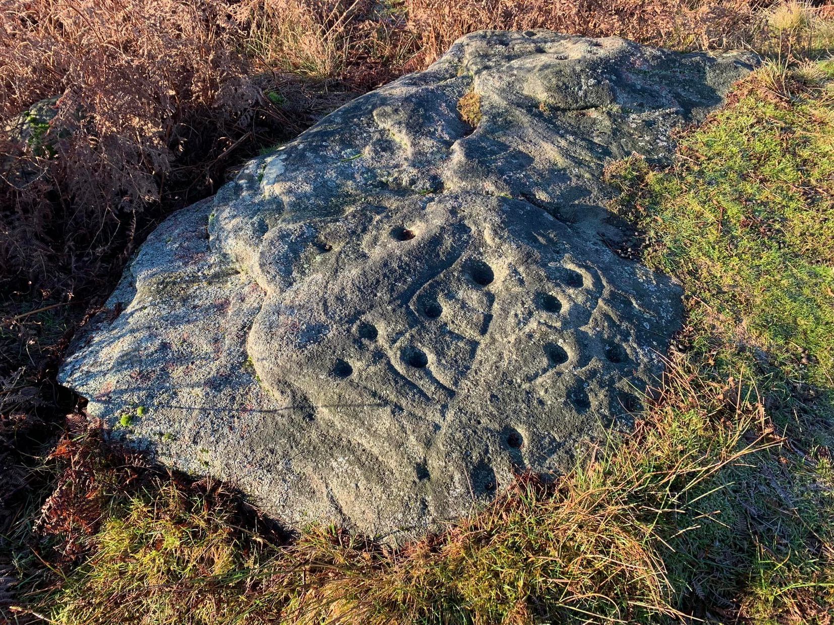
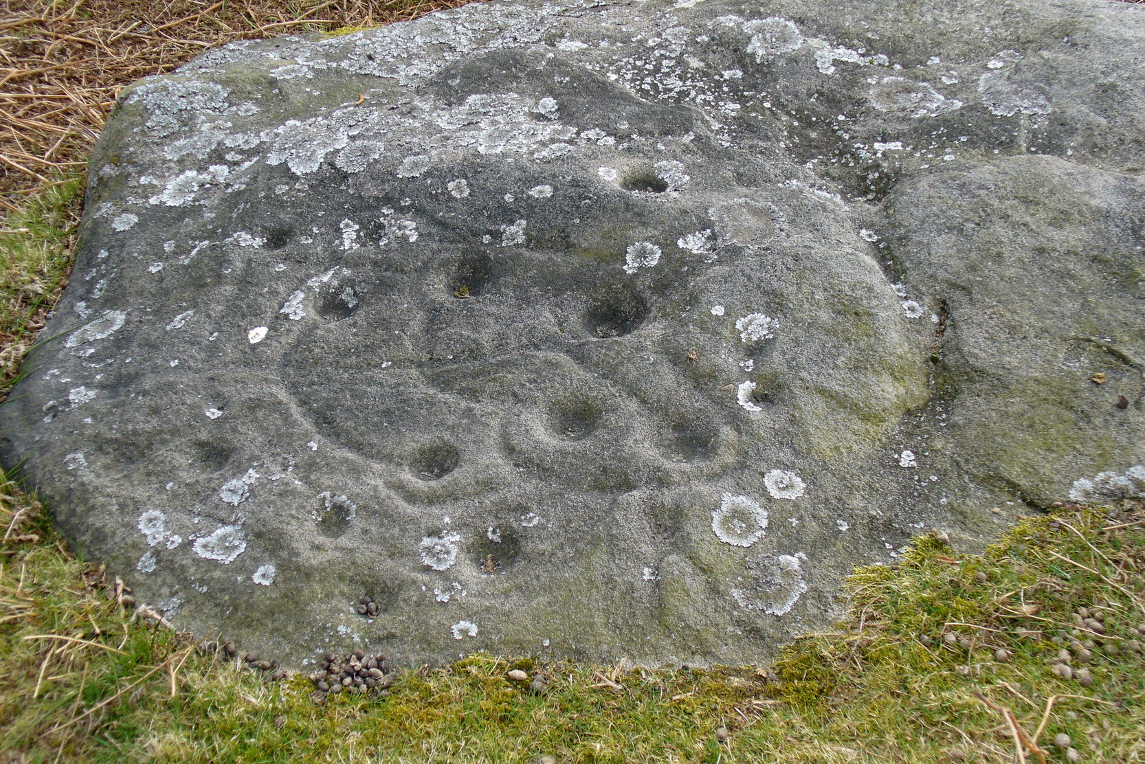
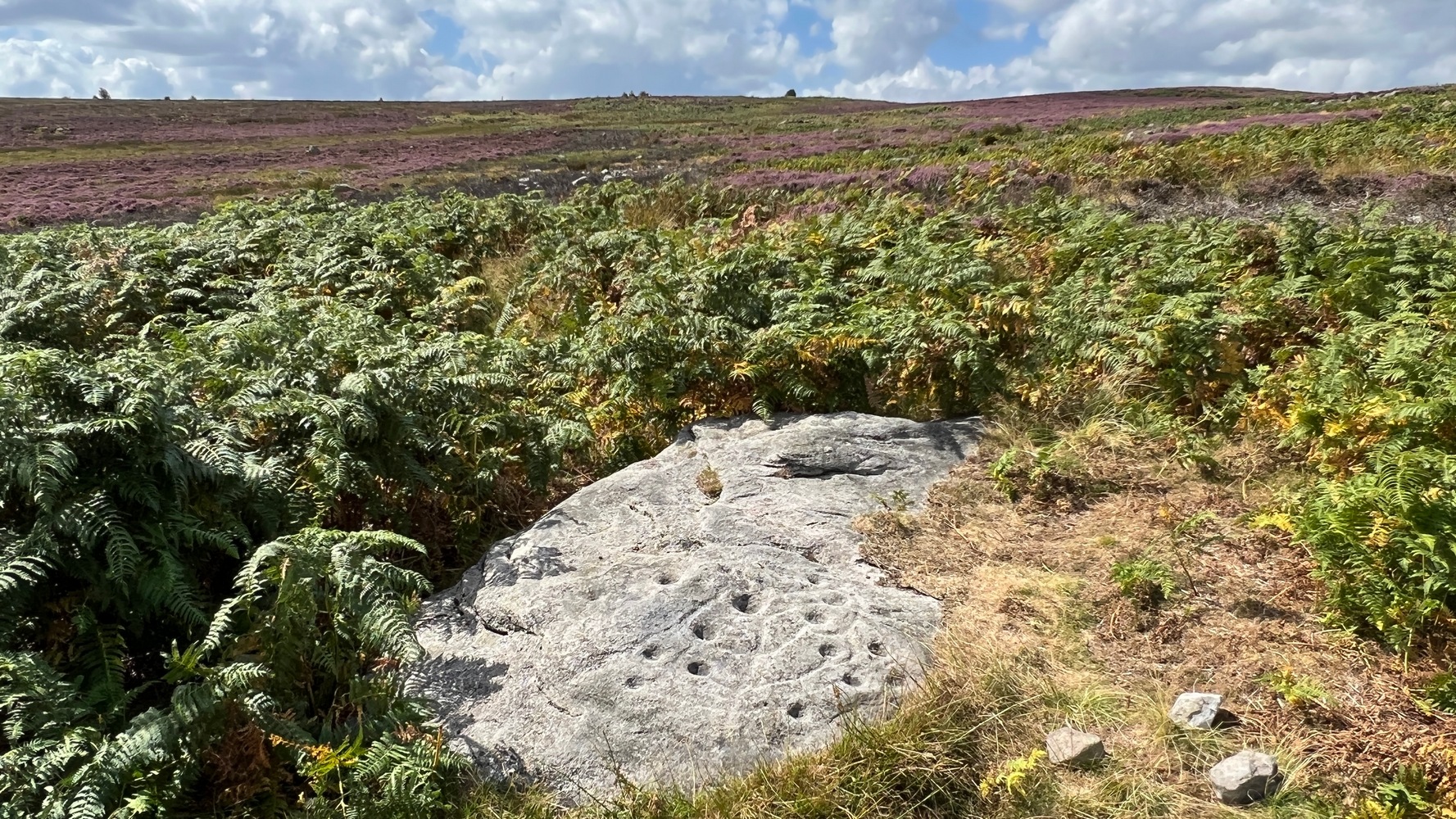
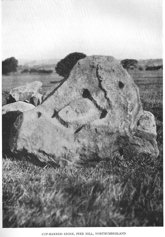
This large cup-marked stone was known by local people as the Clach na Sithean, or the stone of the fairies. Its smooth surface and well-cut grooves was said to be due to the fairies sharpening their knives upon it, and the straight cuts or grooves were tests of the keenness of their blades.
In addition to the fairies having hold over this stone, a brownie creature also roamed between here and the burn of Allt Mor. Although a dutiful creature, he commonly used to scare the women when they returned from the ceilidhs by chasing them and screaming a curious noise at them. But as well as this, he would also enter the local houses and farms after nightfall and, when the local folk were asleep, would clean the supper dishes and put them in their rightful places. But if there was no work to be done once he had entered their homes, he would take the dishes out and place them on the floors where they would be found in the morning by perplexed householders. Then they’d know that the brownie had visited. Sometimes he was a great help to the housewives, other times a nuisance. He became known to local people as Puddlefoot, or Cas an Lubain, but so offended was he by the name when he heard it, that he let out an almighty scream and vanished, never to be seen again.
References:
Kennedy, James, Folklore and Reminiscences of Strathtay and Grandtully, Munro Press: Perth 1927.
From the old Glen House pub, walk up the road onto ‘Shipley Glen’ as all locals call the place. Go up the Glen Road for about half a mile, watching out for the small dirt-track turning going the slope on your left-hand side just near where the road starting swerving uphill to the right. At this point where the track heads down and into the trees, there’s a footpath going into the bracken along to the right, heading onto level ground. Walk up and along here. After 100 yards or so you’ll notice the disused quarry on your left. Keep walking along the footpath (two end up running parallel to each other) and you’ll see this carving right beneath your feet!
Archaeology & History
Baildon Moor carving 126
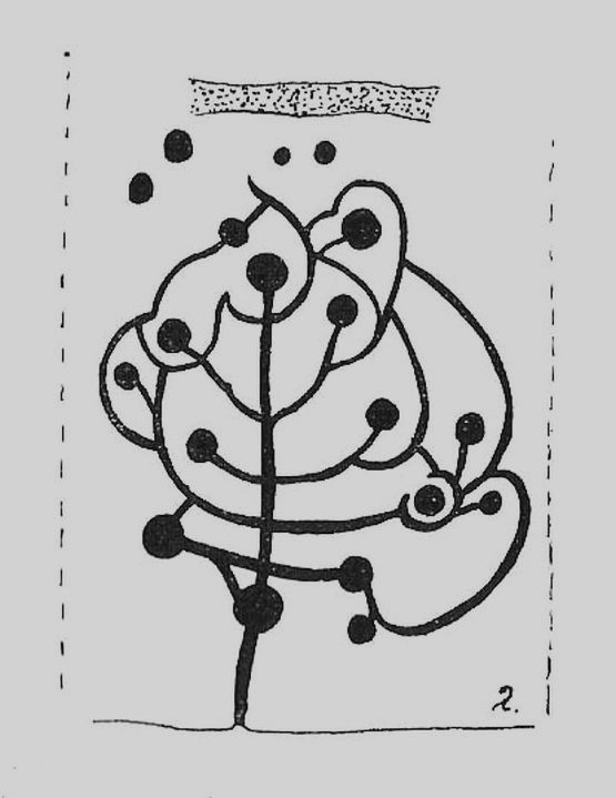
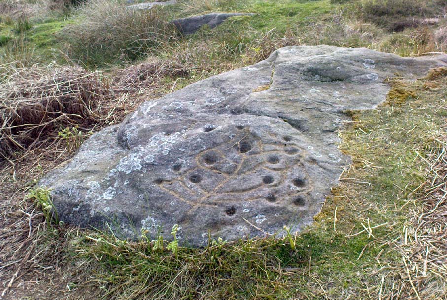
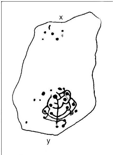
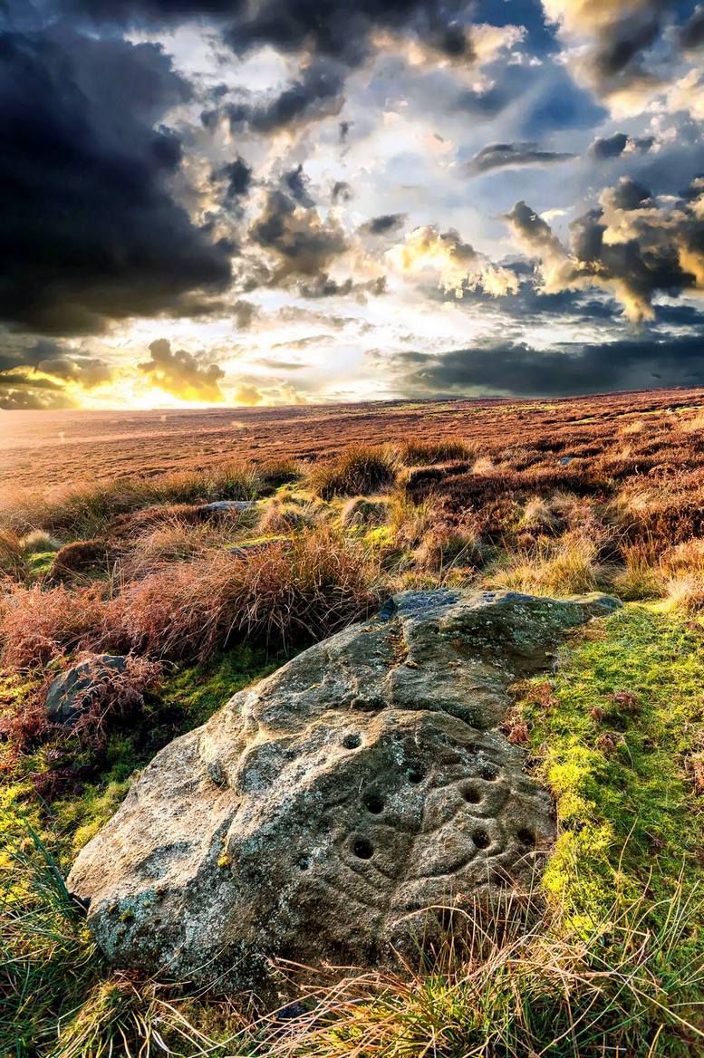
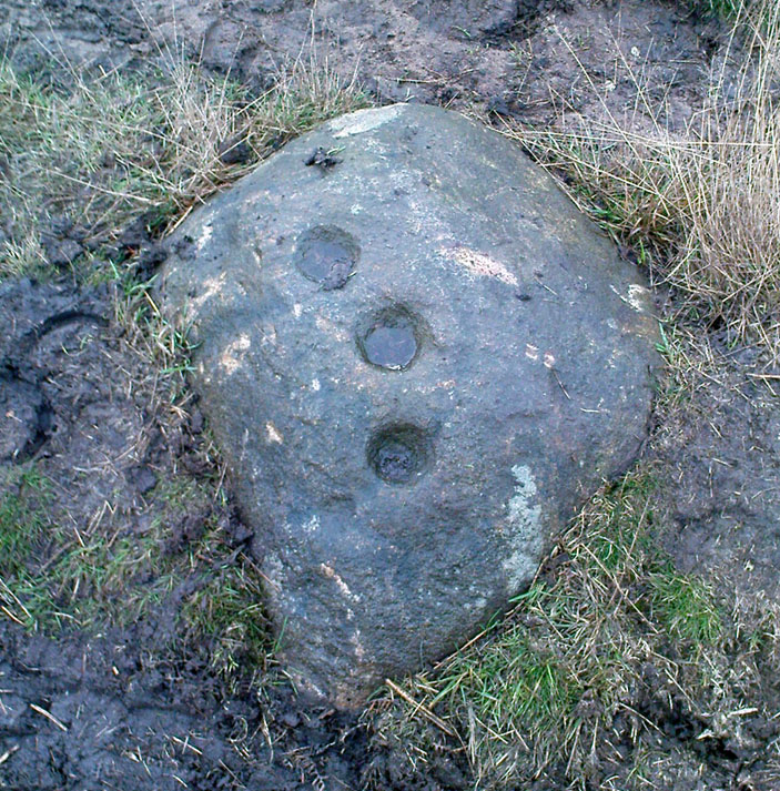
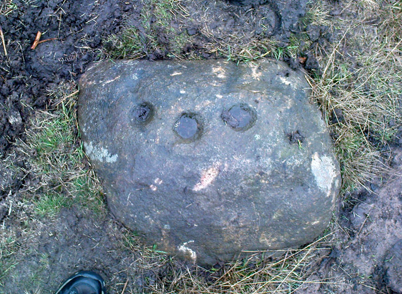
This was one of the very first examples of “cup and ring stones” that I ever saw, when I was a mere 10 or 11 years old! I’m not quite sure what I expected to find, but something about this stone with its deeply set cup-markings obviously had an effect on me – as I’m still foraging about looking at them more than 35 years later! About 20 yards away from the Glovershaw quarry carving (Baildon Moor 122), this central design stone — as I used to call it — was first recorded in W. Paley Baildon’s (1913) magnum opus and was then all-but-forgotten until the Bradford Archaeology Group mentioned it again more than forty years later. Although you can only see three distinct cups on this small rock, another 2 or 3 seem in evidence under better lighting conditions, and a small line runs below the cups in the photo here, which you can just make out above the central cup.
This carving and others close by give the distinct impression that they were once part of some seemingly lost cairn-field, awaiting rediscovery…
References:
Baildon, W. Paley, Baildon and the Baildons – parts 1-15, Adelphi: London 1913-1926.
Bennett, Paul, Of Cups and Rings and Things, unpublished: Shipley 1981.
Bennett, Paul, Megalithic Ramblings between Ilkley and Baildon, unpublished: Shipley 1982.
Boughey, Keith & Vickerman, E.A., Prehistoric Rock Art of the West Riding, WYAS: Leeds 2003.
Cowling, Eric T., Rombald’s Way, William Walker: Otley 1946.
Hedges, John, The Carved Rocks on Rombald’s Moor, WYMCC: Wakefield 1986.
The easiest way to get here if you’re coming for the first time is via the A6068 Glusburn to Cowling road. On the south side of Cowling, take the small road Old Lane, uphill on the east side of the road (very easily missed – keep your eyes peeled!) and keep going up until the road just about levels out, where there’s a muddy parking spot on your left (the giant Wainman’s pinnacle is down the path from here). Cross over the road and head up towards the giant Hitching Stone. When you reach the first fence, cross over it and follow it into the boggy heathlands to your right (west-ish). Head into the tribbly grass and keep walking for 3-400 yards till you see the large rock growing out of the Earth.
Archaeology & History
Cup-markings near ground-levelLooking from above
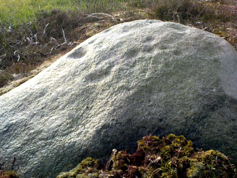
Not far from the legendary Hitching Stone is this curiously-shaped boulder sitting peacefully and alone in its landscape. It is in fact a large cup-marked boulder, previously unrecorded until being described in The Old Stones of Elmet. On top of the stone it seems that there are no definite man-made cup-markings, but there are a number of seemingly natural ones (although some could have been etched thousands of years ago and have just eroded well); instead the real cup-markings are found curiously etched at the base of this large rock, just above ground-level.
Hitching Stone on horizon
As can be seen in the photos, on its lower south-facing edge there are around 20 well-defined cups that clearly stand out. No other cup-marked stones appear to be nearby (surely there’s a few more kicking about in the area…?).
An earlier assertion I made (2001) about the nearby Hitching Stone aligning with the winter solstice sunrise from here was recently put to bed following the morning observations of myself and Dave Hazell on December 21st, 2010, when — as can be seen in the photo here — the midwinter sun emerges from the land a few degrees of arc further southeast than expected. However, I aint checked what the alignment here would have been when the cup-markings were first etched here, around 5000 years ago perhaps… Would any of you archaeo-astronomers out there know about this?
From the little hamlet of Langbar, head up to the steep footpath to Beamsley Beacon and from there along the footpath get yourself between the giant cairn known as The Old Pike and Round Hill. About halfway between these two points the moor levels out (with brilliant views in all directions) and 200 yards southeast of the upright boundary stone, this well-defined carved rock is just a few yards north off the footpath. It seems to be just over the boundary line of Middleton Moor and onto the Beamsley Moor side (not that you give a shit when you’re up here ambling about – but the cartographers like to get things right I s’ppose!).
Archaeology & History
…and from another angleSketch of the design
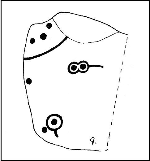
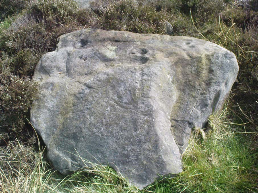
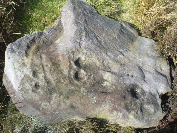
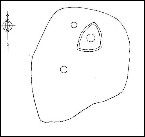
Near the very top of the moor this one — this is a small carving that I rediscovered in March 2005, much of it covered in peat and heather. It’s very similar to some of the central designs found on the Baildon Moor cup-and-ring carvings, with four cup-markings (3 are deep) in a slight arc to the southern edge of this small, squared stone, very much like carvings 126 and 130 in the Boughey & Vickerman (2003) survey. However, unlike the Baildon Moor examples, no burials seem to accompany this carving—although the surrounding heather may be hiding other archaeological remains.
References:
Boughey, Keith & Vickerman, E.A., Prehistoric Rock Art of the West Riding, WYAS 2003.
As with many of the other Baildon Moor carvings, get up to Dobrudden caravan park and walk into the grasses immedietaly northeast onto the Dobrudden necropolis plain for 100 yards or so. It’s not far from the track and one of the many bell-pits is very close by. Look around!
Archaeology & History
A lovely little carving (sad aren’t I…?), first recorded and illustrated in Glossop’s (1888) famous essay on the ancient sites of Baildon Moor. He described there being 18 cups etched onto this rock — a fact echoed a few decades later in Mr Baildon’s (1913) magnum opus. The modern surveys thankfully still count 18 cups here.
Mr Baildon’s 1913 imageGlossop’s 1888 drawing
This is another one of the Baildon Moor carved stones included in Mr Holmes’ (1997) astronomical survey, where he thought the cup-markings here represented stellar maps and other prehistoric astronomical events. A damn good investigative notion, but it sadly aint true. However, those self-same ‘central design’ curves found at a large proportion of other carvings on and around Baildon Moor are plain here for all to see…
References:
Baildon, W. Paley, Baildon and the Baildons (parts 1-15), St. Catherines Press: Adelphi 1913-26.
Boughey, K.J.S. & Vickerman, E.A., Prehistoric Rock Art of the West Riding, WYAS: Leeds 2003.
Colls, J.N.M., ‘Letter upon some Early Remains Discovered in Yorkshire,’ in Archaeologia, 31, 1846.
Cowling, Eric T., Rombald’s Way, William Walker: Otley 1946.
Cudworth, William, ‘Baildon Moor & its Antiquities,’ in Bradford Antiquary 3, 1900.
Glossop, William, ‘Ancient British Remains on Baildon Moor,’ in Bradford Antiquary No.1, 1888.
Hedges, John (ed.), The Carved Rocks of Rombald’s Moor, WYMCC: Wakefield 1986.
Holmes, Gordon, 2000 BC – A Neolithic Solstice Odyssey, SASRG 1997.
Takes a bitta finding this one, mainly cos it’s only a small stone – but worth the walkabout. It’s on the Low Plain, north of Dobrudden, about 10 yards down the path from the caravan park.
Archaeology & History
W.P. Baildon’s 1913 drawing
As with other stones on this roughland plain, it was first recorded and drawn by the local historian W. Paley Baildon (1913), who counted at least 15 cups here, with one complete cup-and-ring. Some of the cups have very distinct half-rings upon them; whilst others are connected by faint lines (as his drawing clearly shows). The later surveys of Hedges (1986), and Boughey & Vickerman (2003) counted 17 cups on this stone. This was another of the carvings which local astronomer Gordon Holmes (1997) thought may have been based on the constellation of Cassiopeia (like the nearby Cassiopeia Stone, found on the same moorland plain).
References:
Baildon, W. Paley, Baildon and the Baildons (parts 1-15), St. Catherines: Adelphi 1913-26.
Boughey, Keith & Vickerman, E.A., Prehistoric Rock Art of the West Riding, WYAS 2003.
Glossop, William, ‘Ancient British Remains on Baildon Moor,’ in Bradford Antiquary, 1888.
Hedges, John (ed.), The Carved Rocks on Rombalds Moor, WYMCC: Wakefield 1986.
Holmes, Gordon T., 2000 BC – A Neolithic Solstice Odyssey, SASRG Press 1997.
This is a lovely-looking stone in the pictures and diagrams, and is quite easy to find close to the meeting of the footpaths along Foldshaw Ridge and the Parks Lane track, near the gate. It lays at an angle in the short grass just by the path…but to me, all is not what it seems…
Archaeology & History
This was a carving I saw pictures of in the 1970s, and always thought it would be something to behold – but my first impression here wasn’t just disappointment, but the most distinct thought that the carving’s modern! It’s a real oddity. For a start, the cups in this carving are very small – much smaller than the countless authentic carvings on the moors here and at Ilkley to the south. And after seeing thousands of these things, this one didn’t seem at all right.
The lack of erosion on the cups may be due to it once accompanying a prehistoric tomb some time in the past, though no such remains have been noted here. However, at carved stones Middleton Moor 001 and Middleton Moor 2 — less than 100 yards to the east — cairns are in evidence next to the petroglyphs, indicating that this relationship occurs at some cup-and-ring stones in this small geographical region and, perhaps, explaining the ideosyncratic nature of this design.
But such speculation aside – the brief literary history of this stone is: first described by Stuart Feather in 1965 and illustrated by Sidney Jackson the same year. The rock art students Boughey & Vickerman’s (2003) described around sixty ‘cups’ etched onto the stone here, but they made no comment about either the odd nature of the cups or the possibility of it being modern. Perhaps it’s just me…
References:
Boughey, Keith & Vickerman, E.A., Prehistoric Rock Art of the West Riding, West Yorkshire Archaeology Service 2003.
From Killin, take the Glen Lochay Road past the Moirlanich Longhouse, but keep on for another mile, and take the track on the left up to Murlaganmore cottages. As the track turns right of the tree-line, cross the field (left) up towards the open gate as if you’re going to the Murlaganmore 2 carving, where you’ll see this large flattish rock in the grasses about 100 yards before it.
Archaeology & History
When we visited this old boulder last week, we had the misfortune of grey days and dark clouds throwing their faded light across this cup-marked rock, not really letting us see with any clarity the many cups which pepper (mainly) the edges of the rock. But the cups are faded anyway, so accounts tell, and the 15 which we counted were same 15 recorded about 100 years ago in C.G. Cash’s (1912) survey. There, he described this old stone as,
“about 200 yards south of the house, in the middle of the uppermost pasture. It is a large block of quartz schist stuck thick with garnets, and bearing fifteen cup-marks, only one of which — 3 inch in diameter and 1 inch deep — is really well defined, and several of which are faint.”
Faint cups barely visibleC.G. Cash’s early drawing
But despite the grey day (She was absolutely teeming with rain half of the time!), I found the setting here absolutely gorgeous, with the many shades of old trees and the clear blood of pure waters falling through the landscape. And, without doubt, there are other carved stones nearby that have yet to capture the attention of surveyors. You can smell them!
References:
Cash, C.G., ‘Archaeological Gleanings from Killin,’ in PSAS 46, 1911-12.
Royal Commission on Ancient & Historical Monuments, Scotland, The Archaeological Sites and Monuments of Stirling District, RCAHMS: Edinburgh 1979.
Cup-Marked Stone: OS Grid Reference – SE 0791 4422
Archaeology & History
Ant Stone, uncovered
Discovered today, amidst a cluster of other carvings not previously catalogued. This was hidden beneath a mass of vegetation, but after cutting and digging into the peat on top of the stone, several cup-marks became evident. By the side of the rock, measuring roughly 8 feet by 5 feet, was a small ant’s nest — hence the convenient name of the carving.
Central design of the carving
The main feature is the large, perhaps natural cup-mark, about 3 inches across. But three distinct artificial cup-markings were etched around the edges of this larger ‘cup’. When we found this stone, the daylight was nearing its end and we were unable to ascertain any further features carved onto the rock. Several other carvings were close by, none of which were included in the survey by Boughey and Vickerman. (2003) After we’d finished here, we covered the stone back over with its peaty quilt and hoped that the ants weren’t too pissed off about us disturbing them…
From East Morton village, take the moorland road, east, and up the steep hill. Where the road levels out there’s a right turn, plus (more importantly!) a trackway on your left which leads onto the moor. Go up this traclk and keep walking till you hit a moorland ‘footpath’ signpost. Stop here and walk due west (your left) onto the gently sloping rise of Stanbury Hill. Keep walking for a 250 yards or so, where the land has sloped gently down to the end of the spur; and just 50 yards before it drops down tot he stream below you’ll find a cluster of rocks scattered about. One of the stones here is this one!
Archaeology & History
This is an excellent carving first recorded, it seems, by Stuart Feather in 1977, as cited in the Yorkshire Archaeology Journal’s ‘Listings’ for 1978. It can be found some 27 yards west of a prehistoric cairn near the top of the ridge (14 yards east of the same cairn is the Spotted Stone carving).
Lunar Stone carvingSoutheast section, with 3 cup-and-rings?
We have to assume that when Mr Feather first located this stone that the faint cup-and-rings on the topmost southeast section of the rock had been exposed to the elements from Day 1, so to speak: as the designs here are quite faint and well-worn. Another not unreasonable assumption is that Mr Feather then proceeded to dig away at the rest of the rock, exposing other features on the stone which had laid under the soil for countless centuries, as the northernmost part of the carving has minimal erosion effects on it. Indeed, unless this is true, we have to start thinking that the carving was made over quite lengthy periods of time, due solely to the greater and lesser effects of weathering on different sections of the stone.
As seen in both the diagram and photos, this is a quite extravagent design. Consisting of several cup-and-rings, aswell as a double-ring, it is found amidst a small cluster of equally impressive, albeit very different carved rocks, all appearing to have a quite specific relationship with death and ritual. This and the other stones are found on the western end of a small serpentine ridge of land (Stanbury Hill), with streams flowing on the north and western sides and small remains of marshland to the south. The geomantic feature here, if relevant, relates to movements between the Earth, water, death and the setting sun: quite potent and important issues in the lives of the neolithic and Bronze Age peoples who lived hereby.
Northern section of carving – with calendrical cups?
The title of this stone carving — the Lunar Stone — should be quite evident: the design has all the hallmarks of celestial lunar movements around the ridge of the heavens; or here, pictured along the edges of the rock (symbolic of the firmament), upon and amidst which the moon travels in its rhythmic motion through the heavens. But don’t take that too seriously: it’s just an imaginative flutter that struck my otherwise distraught inability to know what I’m talking about!
References:
Hedges, John (ed.), The Carved Rocks of Rombald’s Moor, WYMCC: Wakefield 1986.