‘Cup-and-Ring’ Stones: OS Grid Reference – NN 841 499
Getting Here
Take the B846 road out of Aberfeldy over the bridge towards Dull and Weem. As you go through Weem, watch closely for the signpost directing you into the trees of Weem Rock and Woods on the right. Follow this tiny road up until you reach the parking circle in the edge of the trees. Follow the directed footpath up into the woods & keep to the winding track, keeping your eyes peeled for the first large rocky crag above you, with a huge tree growing out of the edge. Once you get to the top of the steps and onto these crags, look right in front of you!
Archaeology & History
The nearest ‘officially recognised’ cup and ring carvings to the one we’re gonna see here, are those described by Kaledon Naddair (1990) in his brief descriptions of the Glassie Farm carvings a short distance northeast in the same woods. Other than that, I can find no account of the carvings I’m about to describe – other than a couple of short local history walking guides, which tell that one of the carvings here is “modern.” And that much is plainly evident.

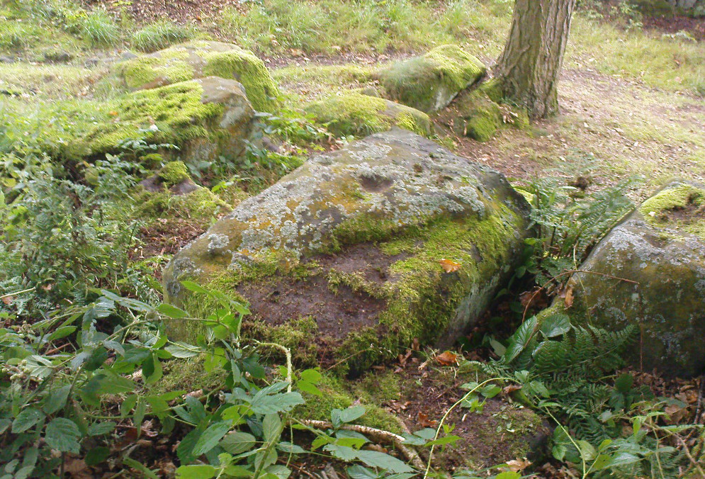
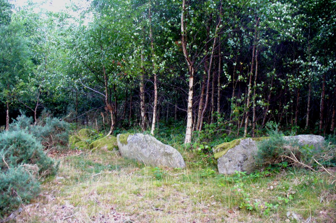
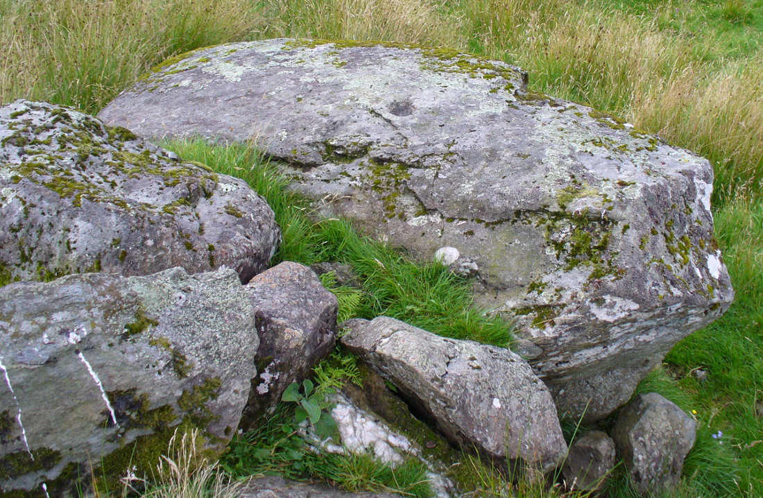
There are at least seven carved stones here – all very close to each other on the top of an impressive crag with a large old tree growing out of the edge of the cliff. But the carvings are located on the flat ground above the cliffs and, it would seem, may well be modern. But I thought that since there are no accounts of the site on-line and no remarks in the Canmore registers, they should be mentioned as future students may mistake them as ancient. There is the possibility (unless someone can show us otherwise) that one or two of them are prehistoric, but I think it’s best we surmise that they are all recent additions in the landscape for the time being. And damn good designs they are too!

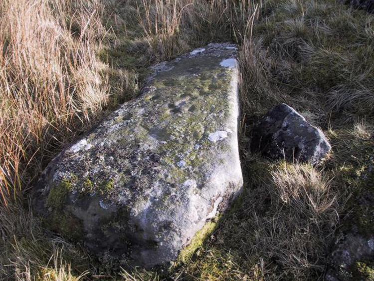
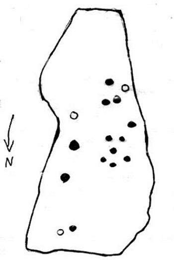
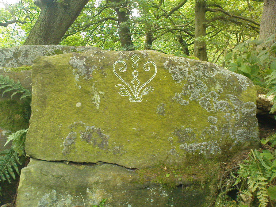
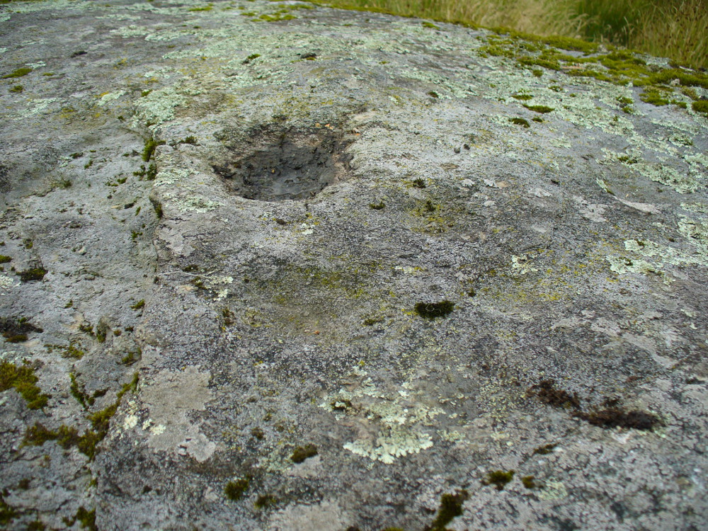
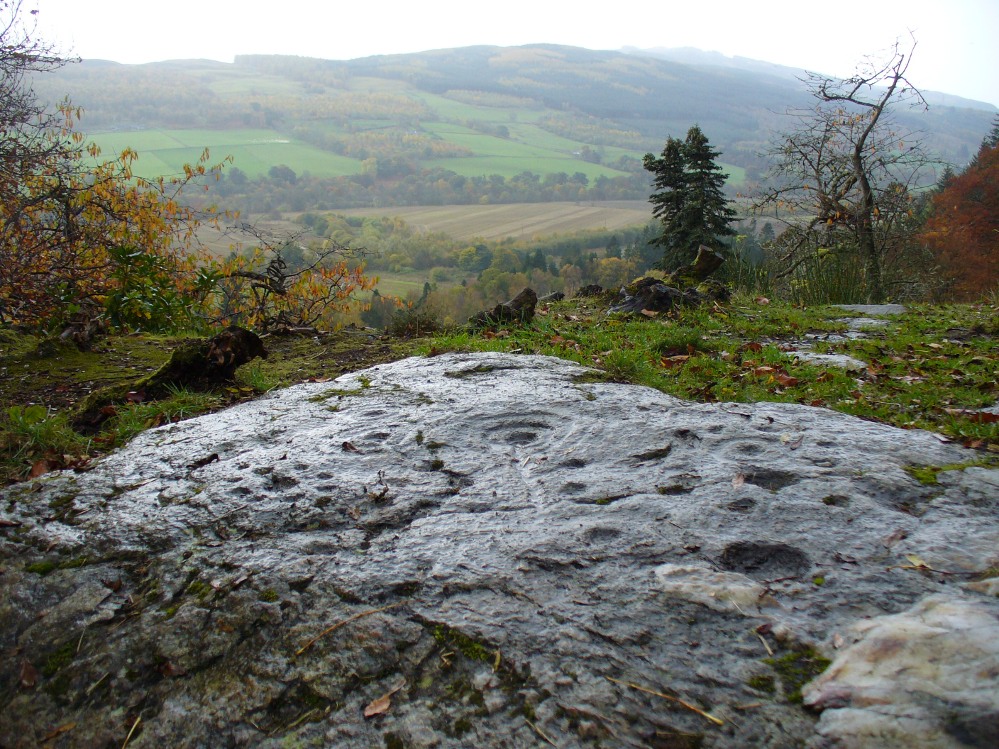
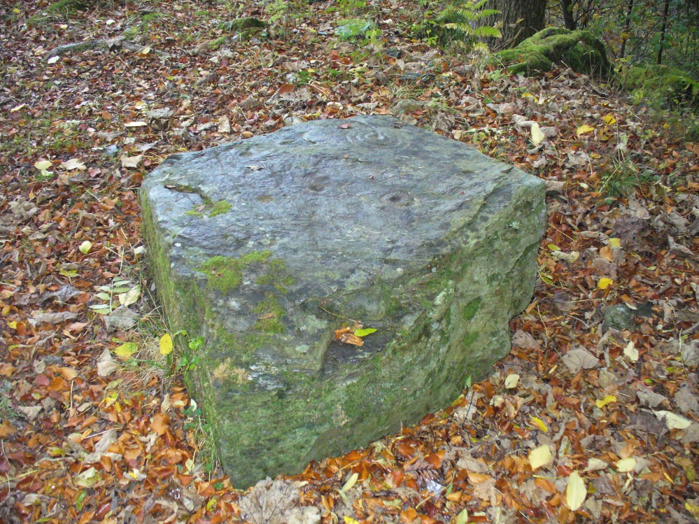
The first and most notable of the group of seven (at least), is on the large earthfast triangular flat rock, pointing out to the cliff’s edge and the hills across the valley. This is where the greatest cluster of multiple cup-and-rings can be seen. Double- and triple rings surround several of the central cup-markings, with the traditional lines running out from the central cup. There are a great number of single cups scattering the surface; and we also find a typical ‘rosette’ element, comprised of a central cup surrounded by eight singular cups, which some students have interpreted as solar and lunar symbols (amongst other things) when found on other carvings (there is a prehistoric Rosette Stone is known on Ilkley Moor; but similar examples are known in Ireland, Northumberland and elsewhere).
Below this triangular rock (perhaps attached beneath the) is another long piece of earthfast stone, with more carvings on. But when Lindsey Campbell and I came here yesterday, it was obvious that some elements along this section of stone were carved in recent years. Two double-cup-and-rings are at the bottom-left of this section of rock, with a scattering of other cup-marks reaching across its surface. Several of these are obviously quite new.

The third notable example is to the top-right of the triangular rock. This stone is mainly of quartzite rock, apart from near the top-end, where another multiple cup-and-ring (four, with a possible fifth broken ring fading away) stand out very blatantly. This carving also seems to be not that olde…
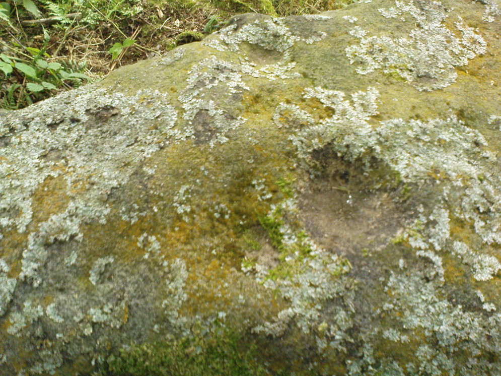
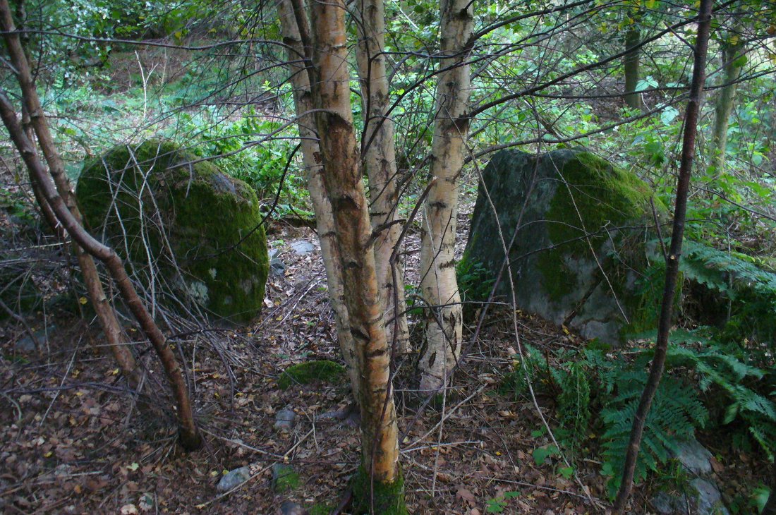
From this third quartz carving, look 10 yards (if that!) back towards the trees and there’s a large boulder. On the surface of this is another multiple cup-and-ring that was very obviously new, and several other cup-markings, also quite new. I presume that the other sections carved onto this stone have also been etched by the same modern artists.
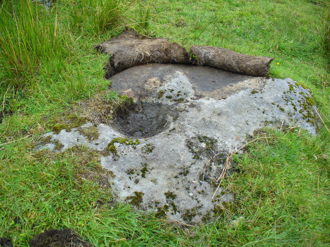
As I looked back to the main triangular carved stone, I noticed other small pieces of stone peeking up from the ground and, upon closer inspection, found one small rounded triangular piece with another multiple cup-and-ring that just fit onto the rock. And close by this was another long piece of stone which, when I rolled the turf gently back, found three simple cup-markings along the surface.
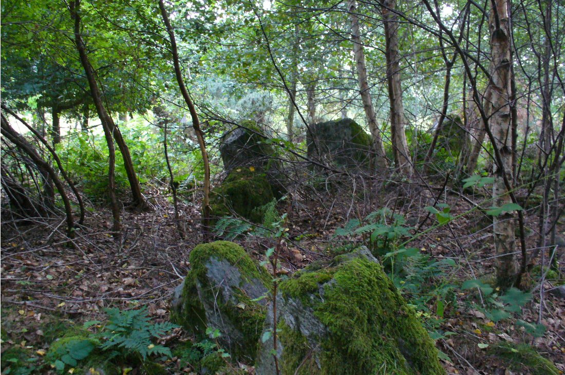
A seventh carving was found on one of the rocks that is falling slightly down the slope, close to the fourth ‘new’ carving that I described. This was heavily covered in moss and autumn’s fallen leaves, and I wasn’t about to take the moss away just for the sake of my curiosity. But it was obvious that other cup-markings were on the sloping face of this large stone.
We’ll have to venture back here soon and get some better photos and, with any luck, find some old locals who can tell us when the carvings first appeared. It’s quite a superb spot for a bimble, with the healing waters of St. David’s Well and his cave close by—and the woods were, so local legends tell, inhabited by dragons and good heathen creatures in centuries past. But the proximity of the Druid school—formed by the Ionian druids no less—around the 6-7th century, may have thankfully preserved these old tales and relate to some of the many other monuments found in this area. Although some of these carvings (possibly all) are of recent years, this is a gorgeous spot well worth exploring… And if anyone knows precisely when they were done – please let us know!
References:
- Naddair, Kaledon, “Rock Carvings (Weem Parish),” in Discovery & Excavation Scotland, 1994.
© Paul Bennett, The Northern Antiquarian