Sacred Well: OS Grid Reference – NN 7867 4725
Also Known as:
- An Tobar
- Holy Well of Inchadney
Getting Here
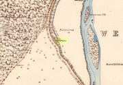
An Tobar, or Beltane Well, on the 1867 map
From Kenmore village on the north-side of the river, over the bridge, take the small road on your right towards Dull. After a very short distance the road runs alongside the woodland for nearly 1½ miles until, on your left, you’ll reach Drummond Cottage. Across from here a dirt-track takes you into the trees. Barely 100 yards along, watch for the overgrown path that runs down the slope on your left. At the bottom a small stream has several feeds – one of which is surrounded by a ring of bright quartz stones.
Archaeology & History
Shown on the early Ordnance Survey maps as An Tobar (meaing simply “a well”), this somewhat nondescript title betrays a much more colourful folk history, albeit dissolved by those common culprits of Church and disrespectful incomers (which shows little sign of diminishing).

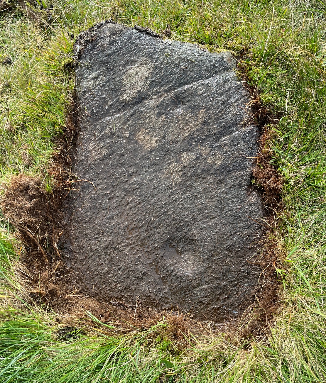
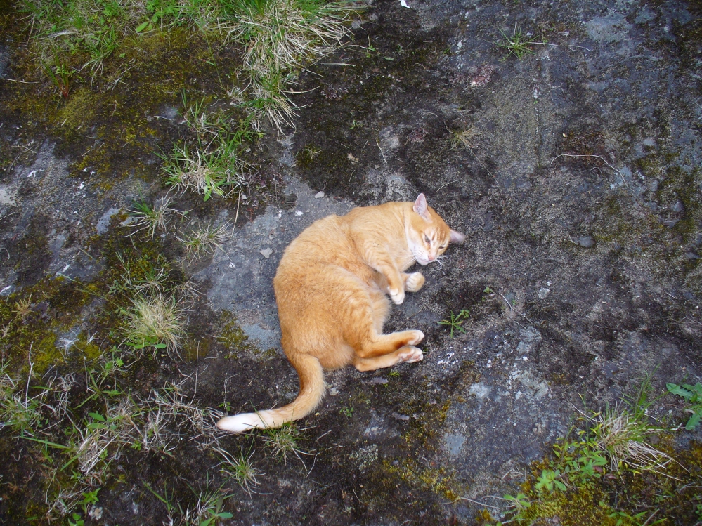
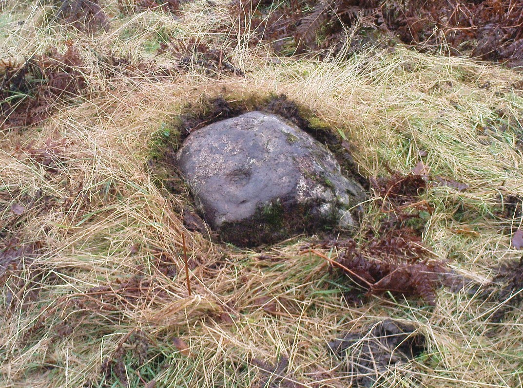
Lara by the Well

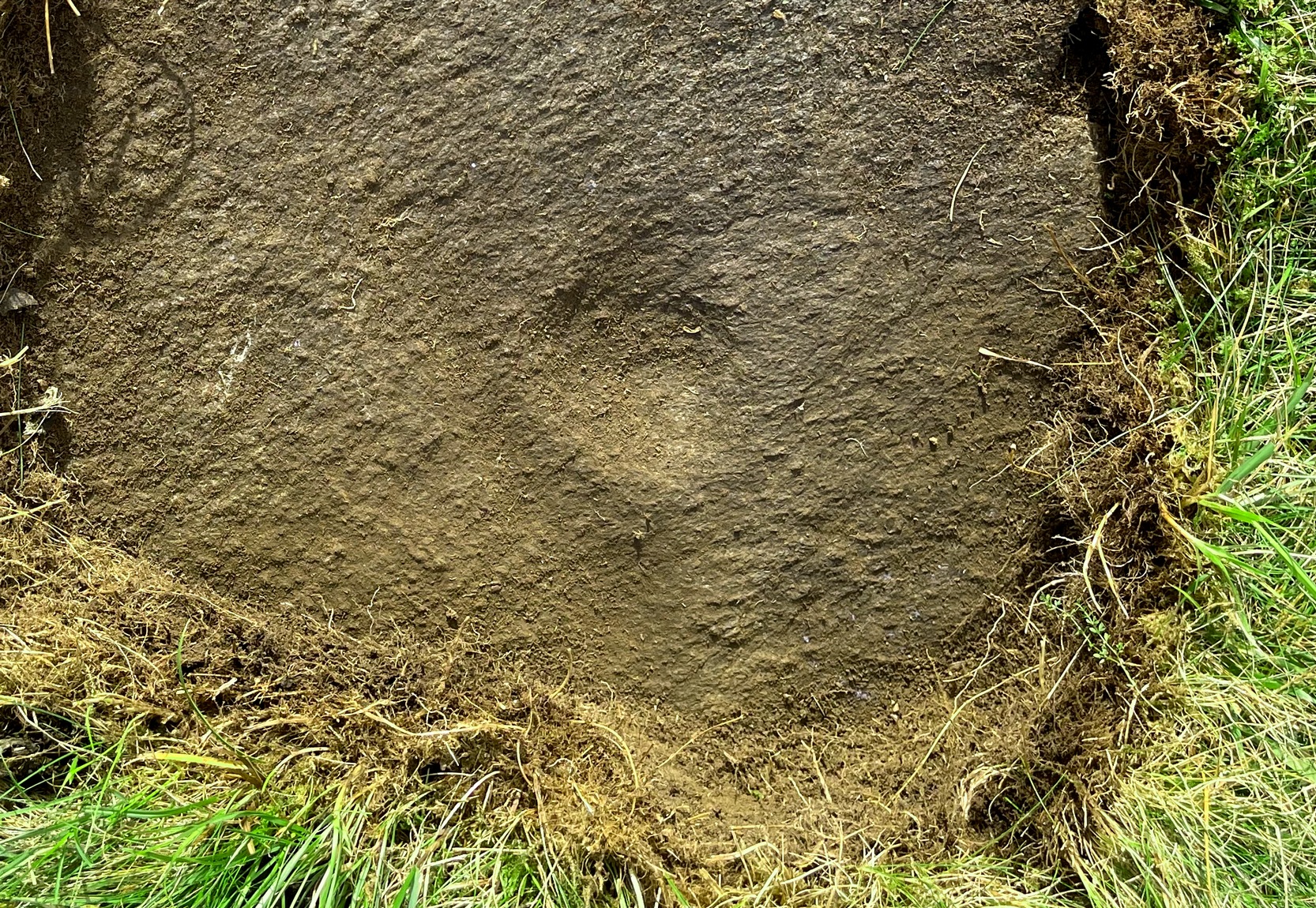
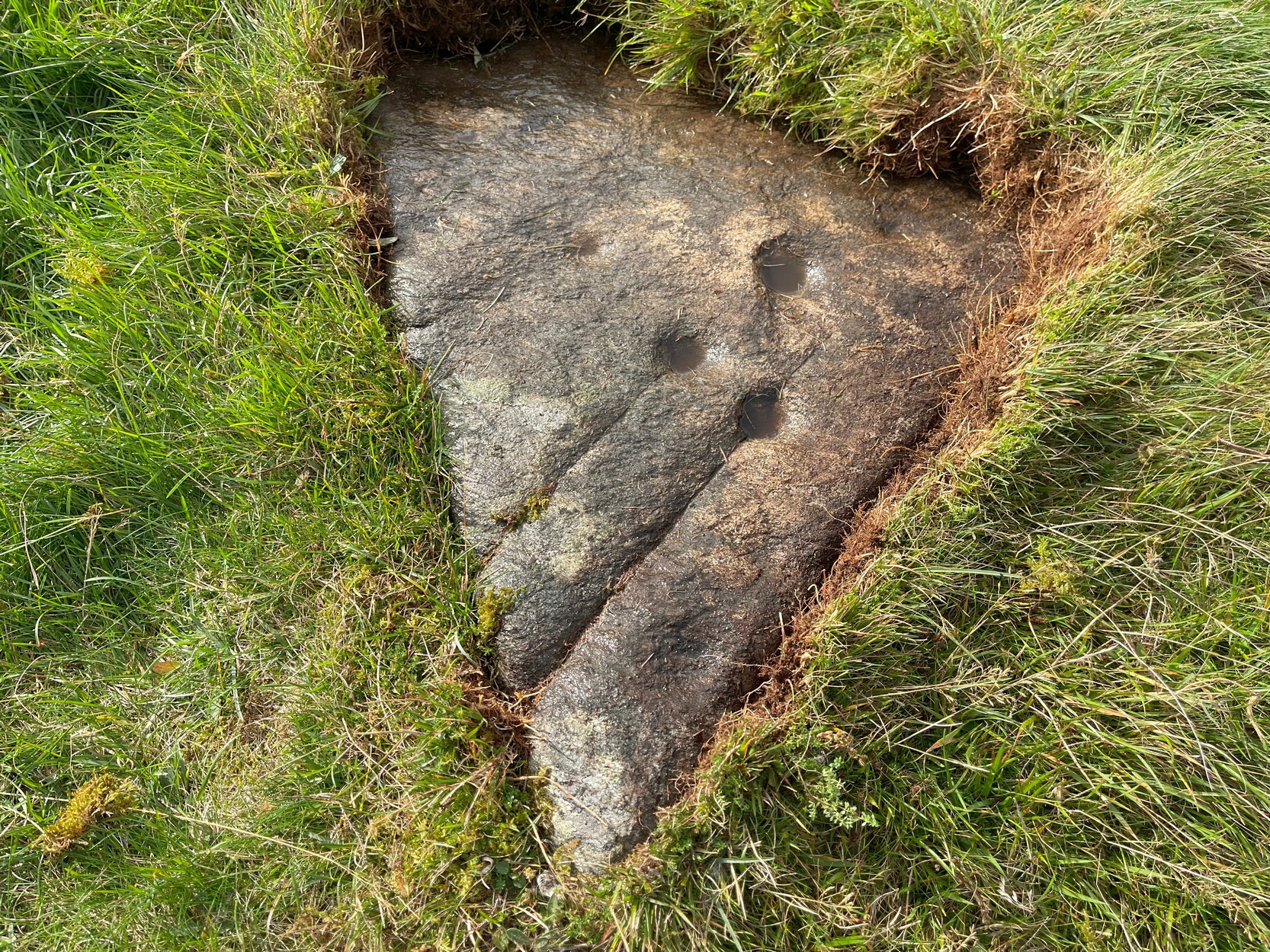
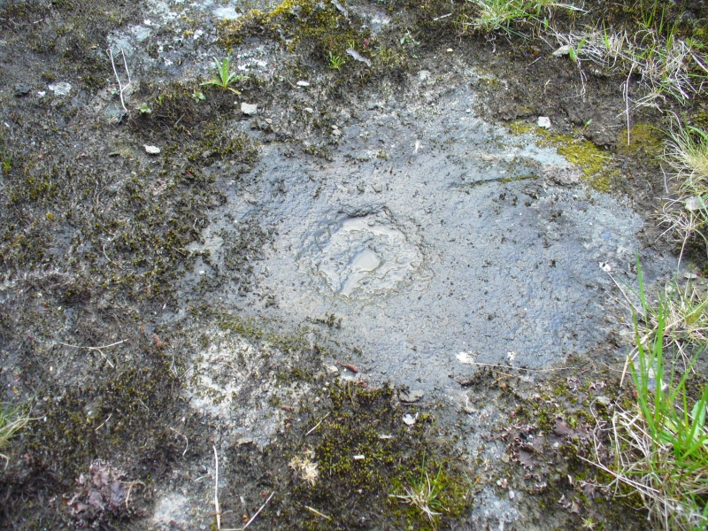
Close-up of quartz surround
In the field immediately south, back up the slope above the well and through the trees, was once an ancient church whose existence has all but vanished. Hereby was held an ancient fair known as Feill nam Bann Naohm, or the Fair of the Holy Women, named after a group of nuns whose lived here, who William Gillies (1938) and others proclaim were the legendary Nine Maidens, whose dedications at wells, trees and other sites scatter Scotland. But the fair was ended in 1575 and moved to Kenmore; then, several years later in 1579, the church also moved onto Eilean nam Ban Naomh (NN 7664 4536) on Loch Tay.
The old well however, after being left by the descendants of the Holy Women or Nine Maidens, continued to be frequented by local people. Gillies (1938) wrote:
“The Holy Well of Inchadney is situated at the foot of the terrace, about five hundred yards to the north of the churchyard… Up to the middle of last century the well used to be visited by great numbers of people on the morning of Bealtuinn, the first day of May.”
In Ruth & Frank Morris’ survey (1981) they told how the site had become much overgrown and,
“The well was cleaned out in 1914 and among articles found was a stone 21 inches by 16 inches, with a rude St Andrew’s cross scratched on it, a George III farthing among other copper coins, a rudely made stone cup 2½ inches high and 7 inches in diameter, three metal buttons, a glass bead and six pins.”
No such offerings seemed in evidence when we visited a few weeks ago; but we were told that people are still seen visiting the well.
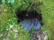
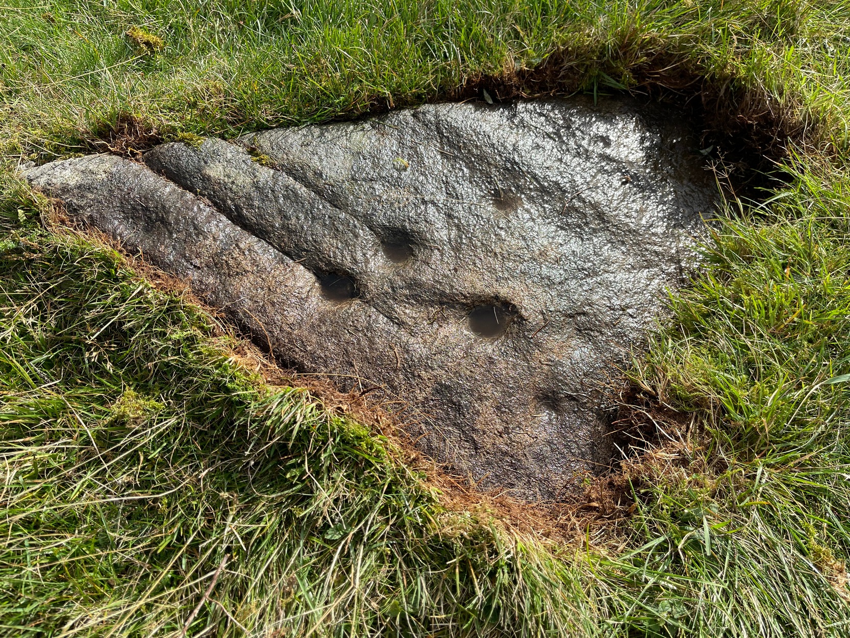
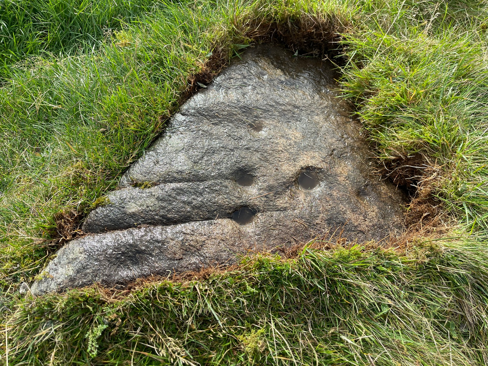
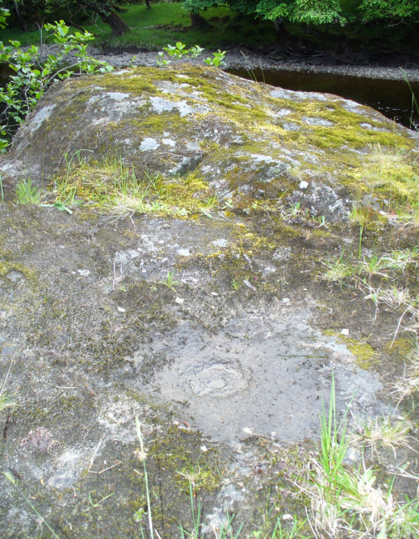
Looking into the pure waters
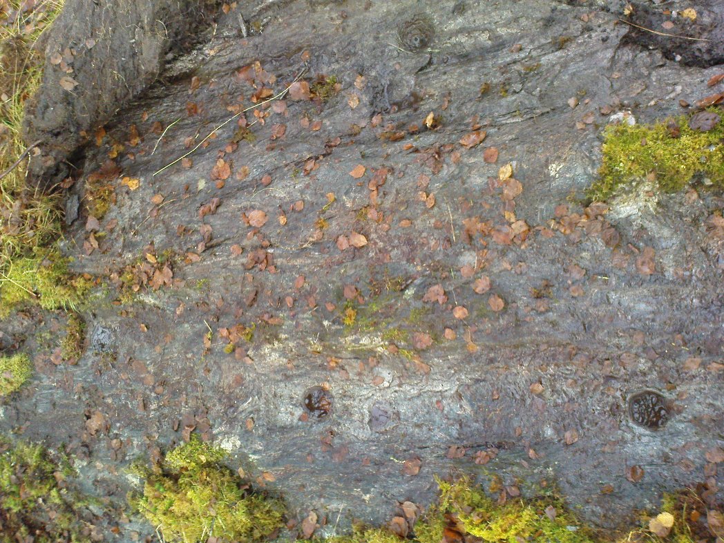
A small stone-laid footpath runs towards the adjacent burn from the circular well, which is almost completely surrounded by large quartz rocks. In the well itself was a small fish, showing how clean the waters are—or as would be deemed in times of olde: a ‘guardian’ of the waters.
We must also make note of the fact that, just two fields away to the north, according to the antiquarian Fred Coles (1910), a stone circle was once in evidence. This old well sat neatly between the sites of megalithic ring and church.
Folklore
In the field in front of the well, Hilary Wheather (1982) told that there once lived a legendary water bull, but she lamented on his passing. With the coming of the modern-folks and their unnatural ways,
“and having great timber lorries rumbling past your home every day is no fun for a peace-loving waterbull living in Poll Tairbh, the Bull’s Pool opposite the Holy Well. Gone are the days when he was the revered Spirit of the Meadow, passed with trembling and fear by all the young maids of the Parish lest he should jump out and carry them off to his watery lair. Half the calves of the area were sired by him and it was always easily seen which cow had the attentions of the Great Waterbull. Her calf was always the biggest and the best. But he hasn’t been seen by his pool for many a year…”
The waters are cited by Geoff Holder (2006) to be good for toothache.
References:
- Coles, Fred, “Report on Stone Circles Surveyed in Perthshire (Aberfeldy District),” in Proceedings of the Society of Antiquaries, Scotland, volume 44, 1910.
- Gillies, William A., In Famed Breadalbane, Munro Press: Perth 1938.
- Holder, Geoff, The Guide to Mysterious Perthshire, History Press 2006.
- McHardy, Stuart, The Quest for the Nine Maidens, Luath Press: Edinburgh 2003.
- Miller, Joyce, Magic and Witchcraft in Scotland, Goblinshead: Musselburgh 2010.
- Morris, Ruth & Frank, Scottish Healing Wells, Alethea: Sandy 1982.
- Wheater, Hilary, Kenmore and Loch Tay, Appin Publications: Aberfeldy 1982.
Acknowledgements: Big thanks to the bunch who got us here: to Paul Hornby, Nina Harris, Aisha Domleo & Lara Domleo (ooh – and Leo too!).
© Paul Bennett, The Northern Antiquarian