Hut Circles: OS Grid Reference – SE 17401 50967
Along the only road that crosses Askwith Moor, park up at the single carpark on the east-side of the road. Walk up the road for 350 yards and through the gate on the left-hand (west) side of the road onto the moorland. Once through the gate, walk directly west into the heather immediately below the path for some 25-30 yards. Look around!
Archaeology & History
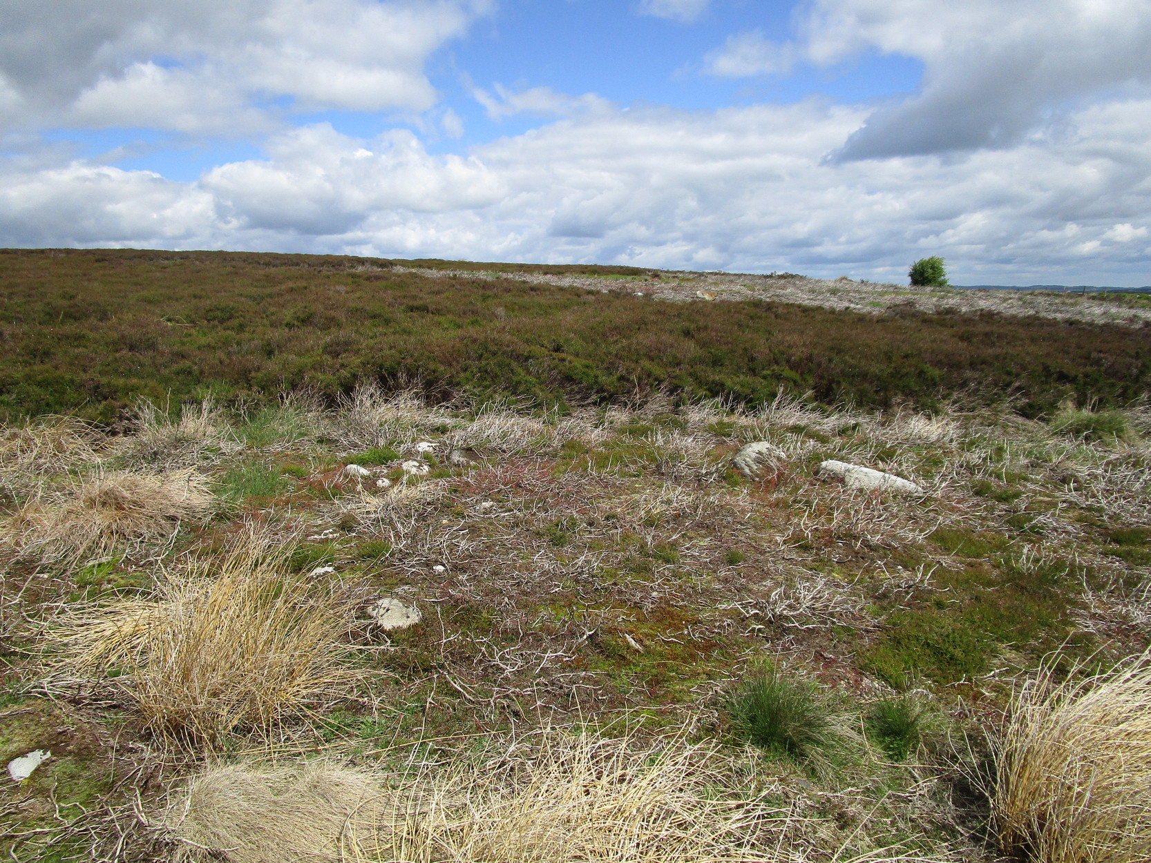
Rediscovered by Helen Summerton in May 2022 are at least two simple hut circles on this level piece of land close to the roadside, amidst this much wider and impressive prehistoric landscape.
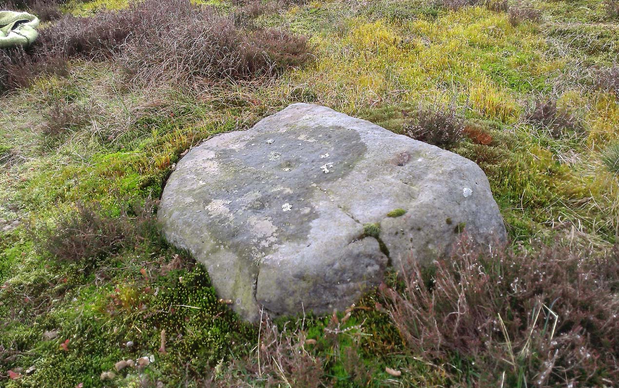
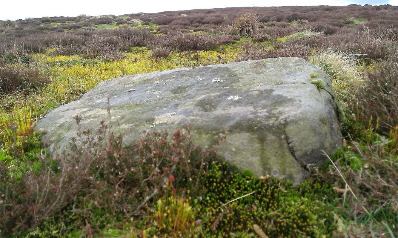
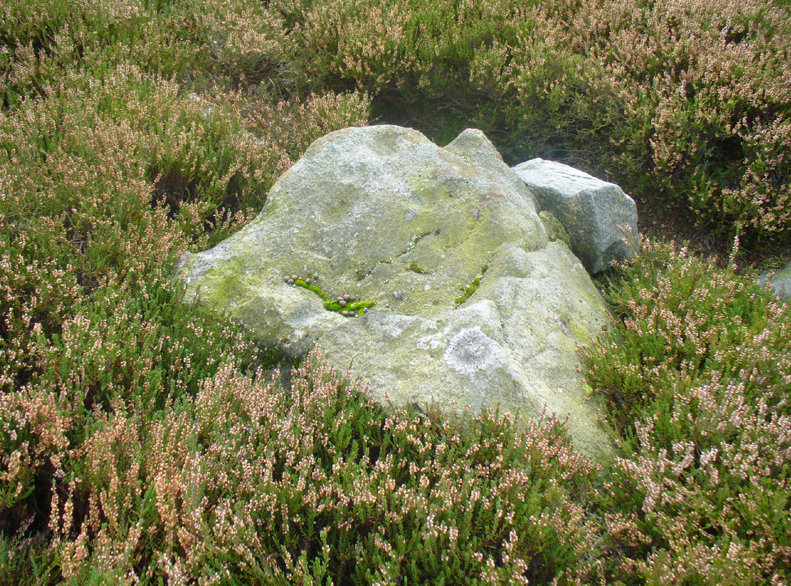
The small ring of stones (SE 17430 50978) closest to the road is slightly more troublesome to make out due to it being more deeply embedded in the peat than its companion about 30 yards away. Comprising of typically small rubble walling, this first circle is only 4 yards across and would certainly have been fine for one person or, at a push, perhaps a small family.
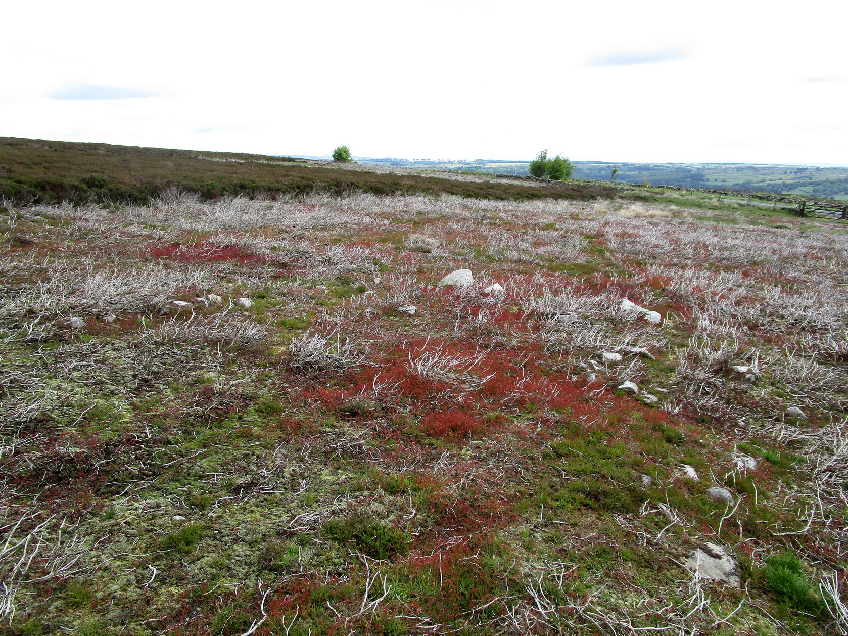
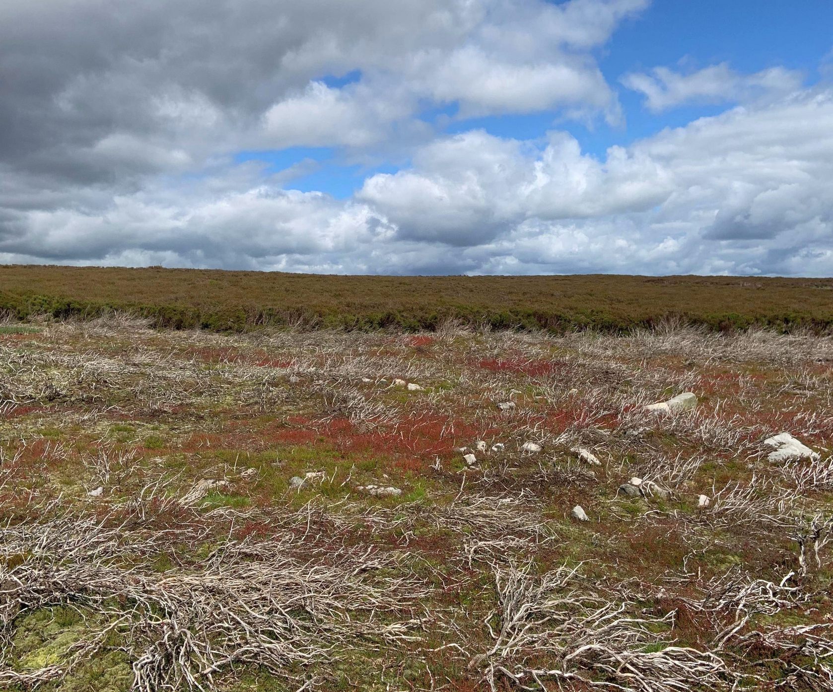
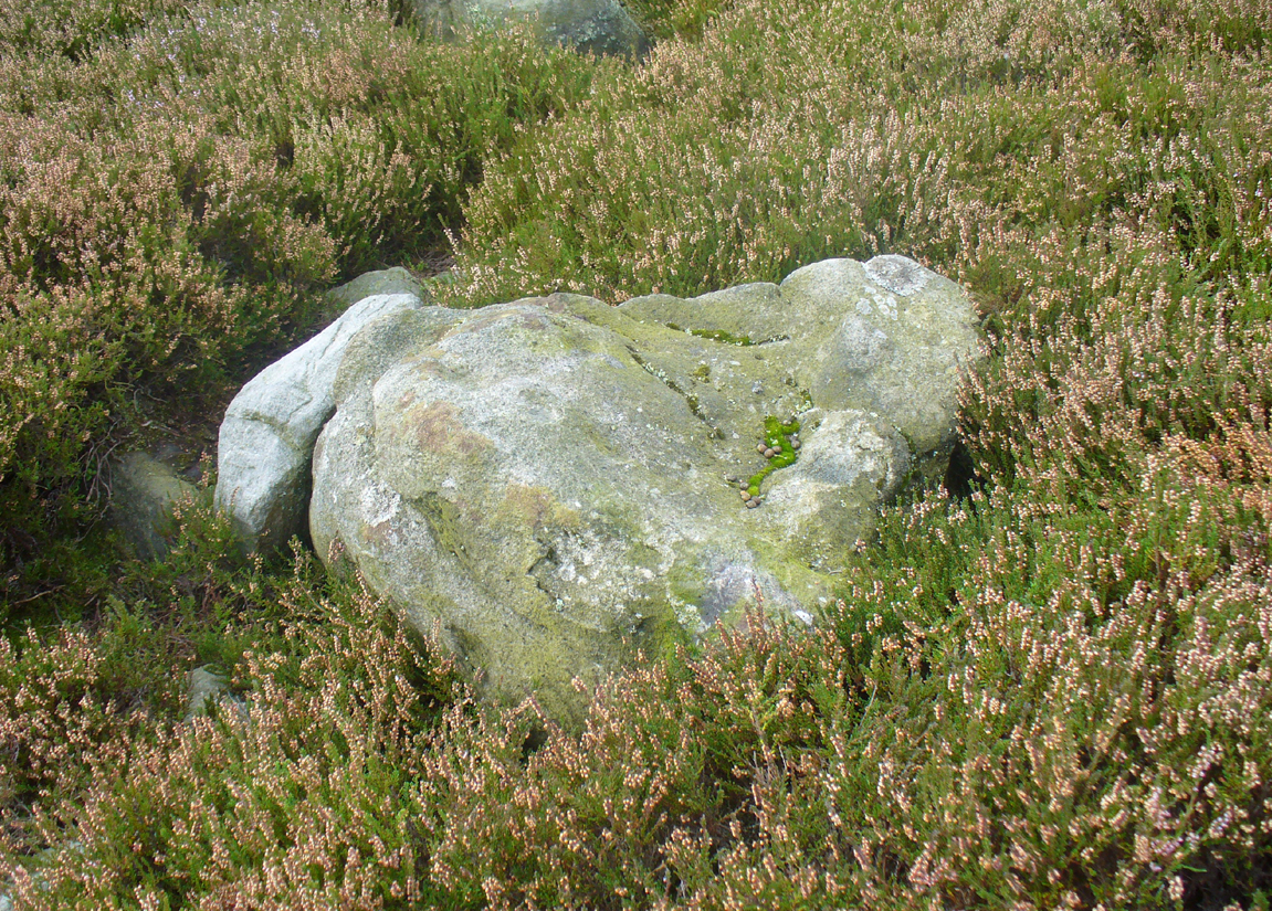
Its companion immediately west (SE 17401 50953) is somewhat larger and slightly more elongated in shape, being 10 yards along and 5-6 yards across, as well as being in a better state of preservation. This larger hut circle has been raised on a notable artificial earth-and-rubble plinth, being one or two feet higher than the surrounding peatland. A notable internal stretch of walling only a yard or two in length exists within the southeastern side of the construction, whose nature can only be discerned upon excavation: an issue we can say applies to the many prehistoric settlements and tombs across this small moorland. It’s very likely that other settlement remains will be found close to these two hut circles.
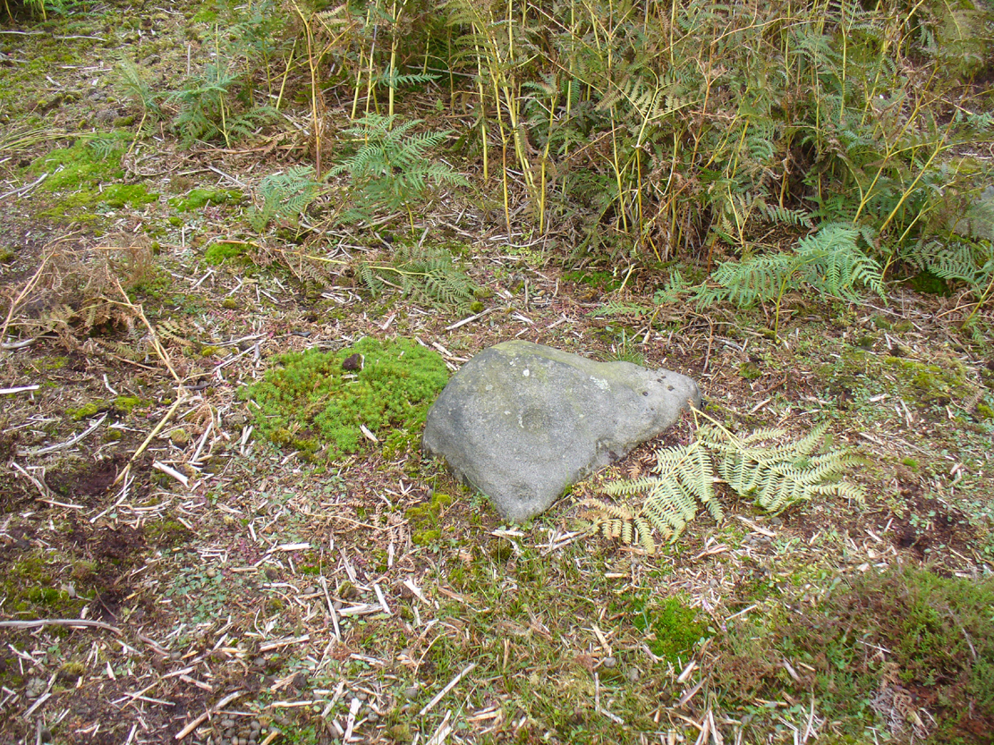
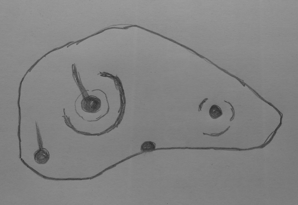
The remains of another hut circle can be found closer to Shooting House Hill, several hundred yards away; whilst five hundred yards southwest we find a small but impressive cairnfield. There are also a good number of petroglyphs close by and on much of the surrounding landscape.
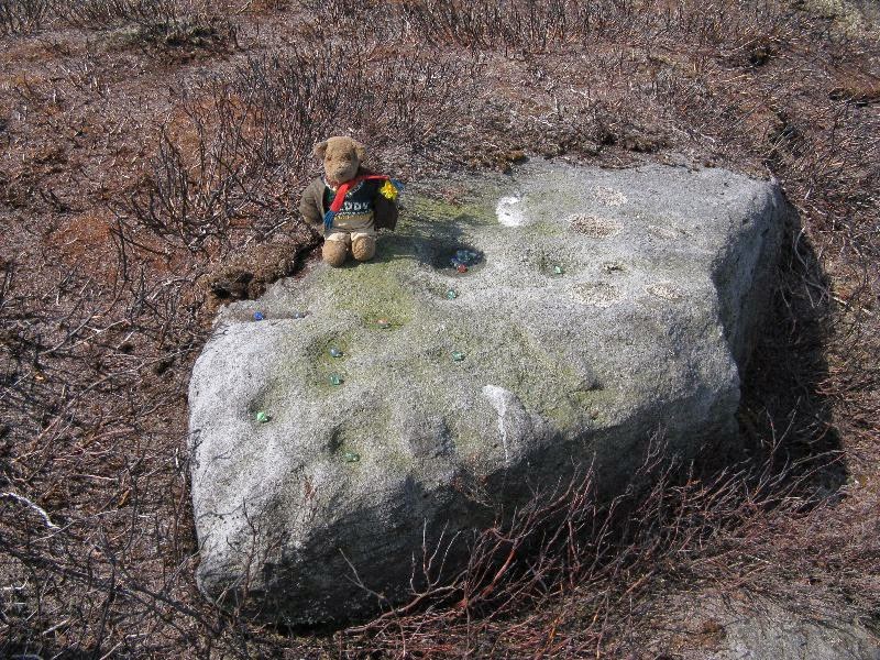
Acknowledgments: Huge thanks to Helen Summerton (not Winterton) for finding these ‘ere remains – and for the photos accompanying this site profile.
© Paul Bennett, The Northern Antiquarian