Tumulus & (possible) Stone Circle: OS Grid Reference – NO 64400 67323
Also Known as:
- Canmore ID 36002
- Inglismaldie
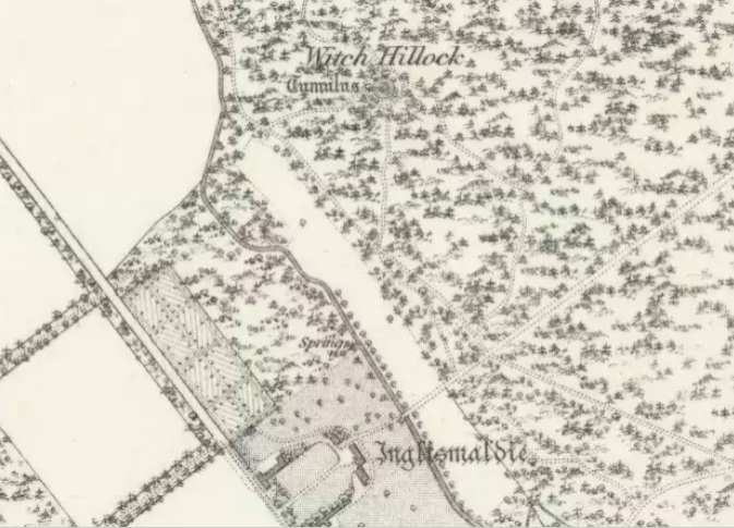
Travelling north on the Bridgemill to Fettercairn road, park at the layby just before the junction with the minor road (left) through the Forestry Commission’s Inverury Wood. Go through the gate and walk along the track to the end where it joins another track and turn right. About 300 yards along, the Hillock is in a fenced enclosure to the right, accessible over a stile.
Archaeology & History
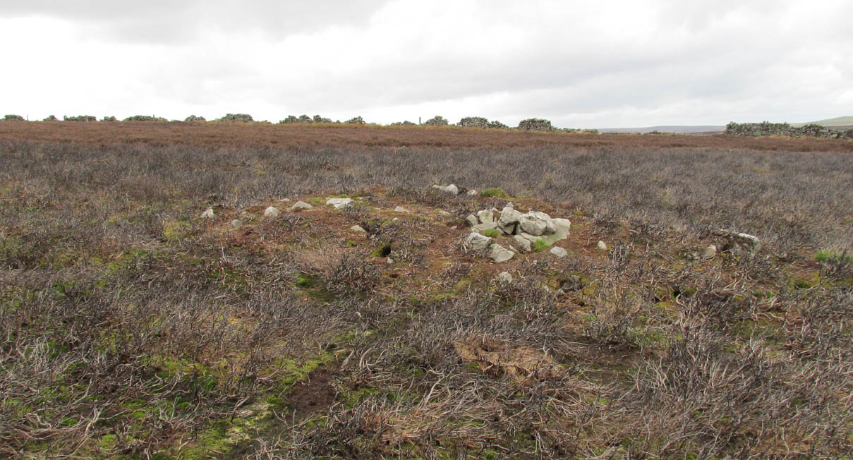
The site was not mentioned in the Statistical Accounts, nor is the origin of the name recalled, from which it is reasonable to assume that ‘witches’ (howsoever that term was interpreted in the days of persecution by the Kirk Sessions) met there. This is reinforced by there being a plot of land due west called ‘Witchfield’. The Canmore report describes the mound as being,
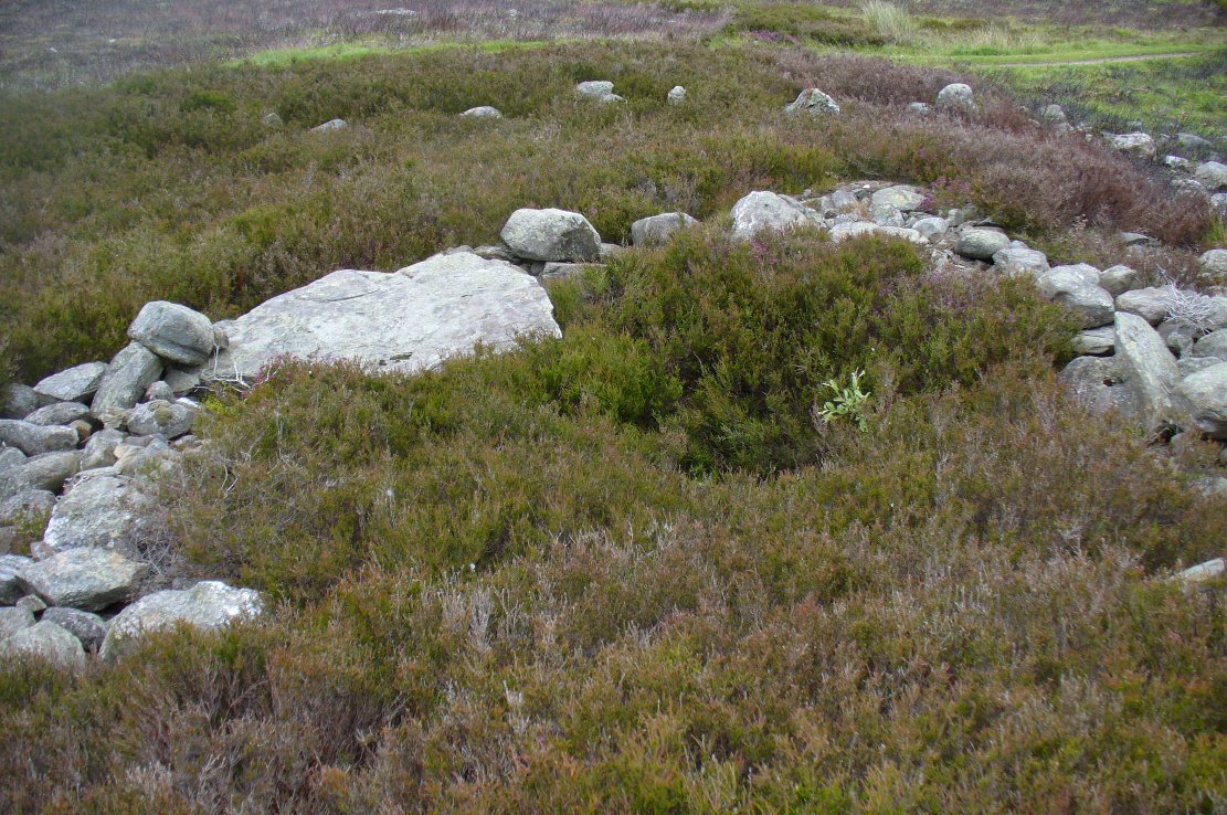
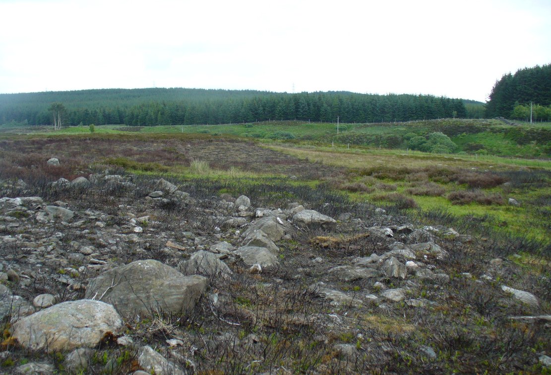
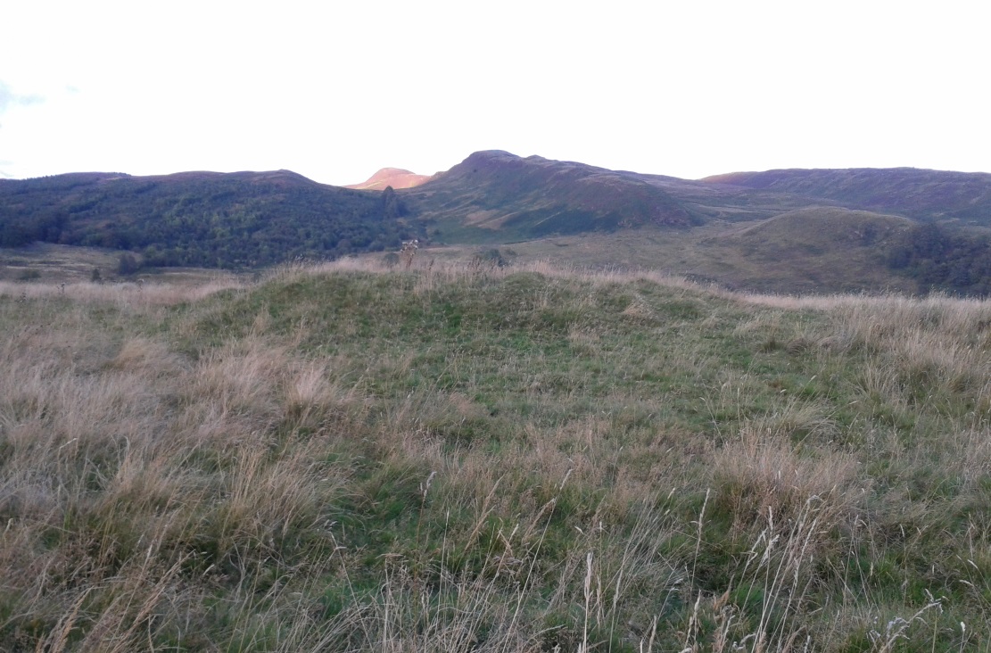
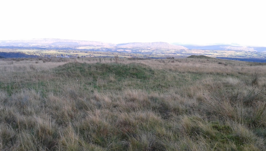
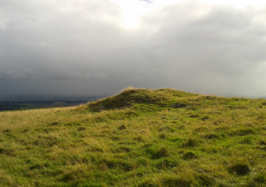
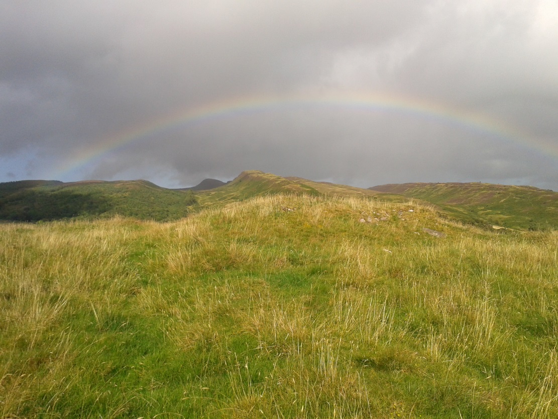
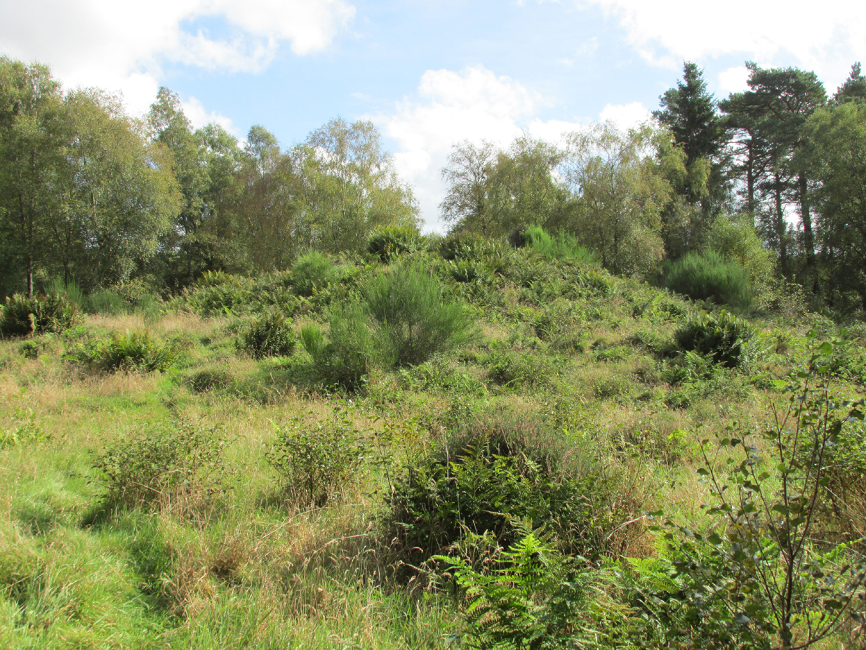
“situated near the edge of a low natural escarpment..measuring about 18m. in diameter and 2m. high.”
The Ordnance Survey reported in the mid-1860s that the Hillock was,
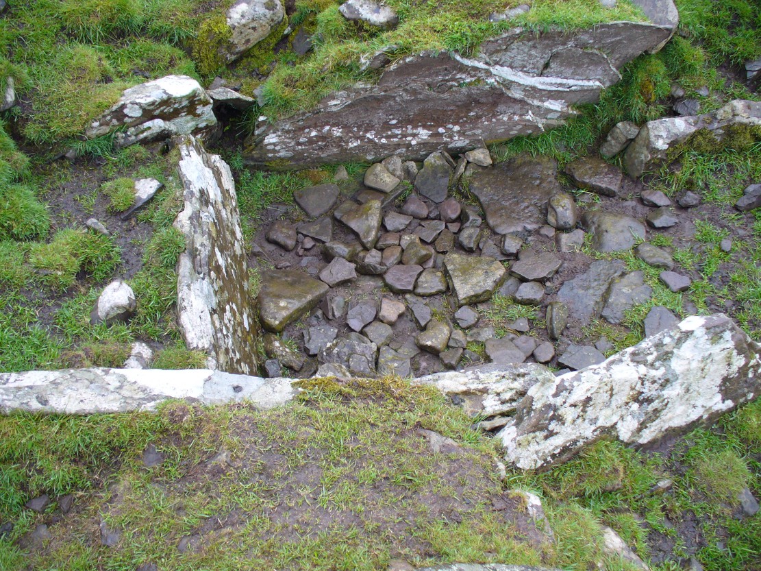
“An artificial mound….a remarkable looking object….enclosed with ornamental wire fencing, the name is well known in the district, but is not mentioned in the Statistical account nor any other document in the possession of the authorities. James Glenny, Gardener at Inglismaldie states that he assisted to open this, under directions from the Earl of Kintore, about Seven years ago, and that after clearing away the top soil there were found several stone coffins containing human bones and a clay urn containing what appeared to be calcined human bones….”

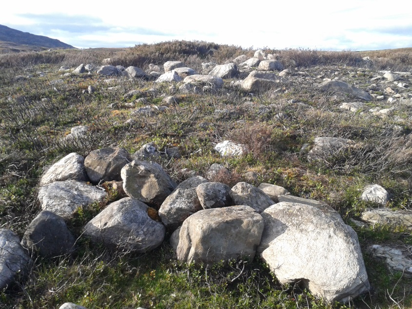
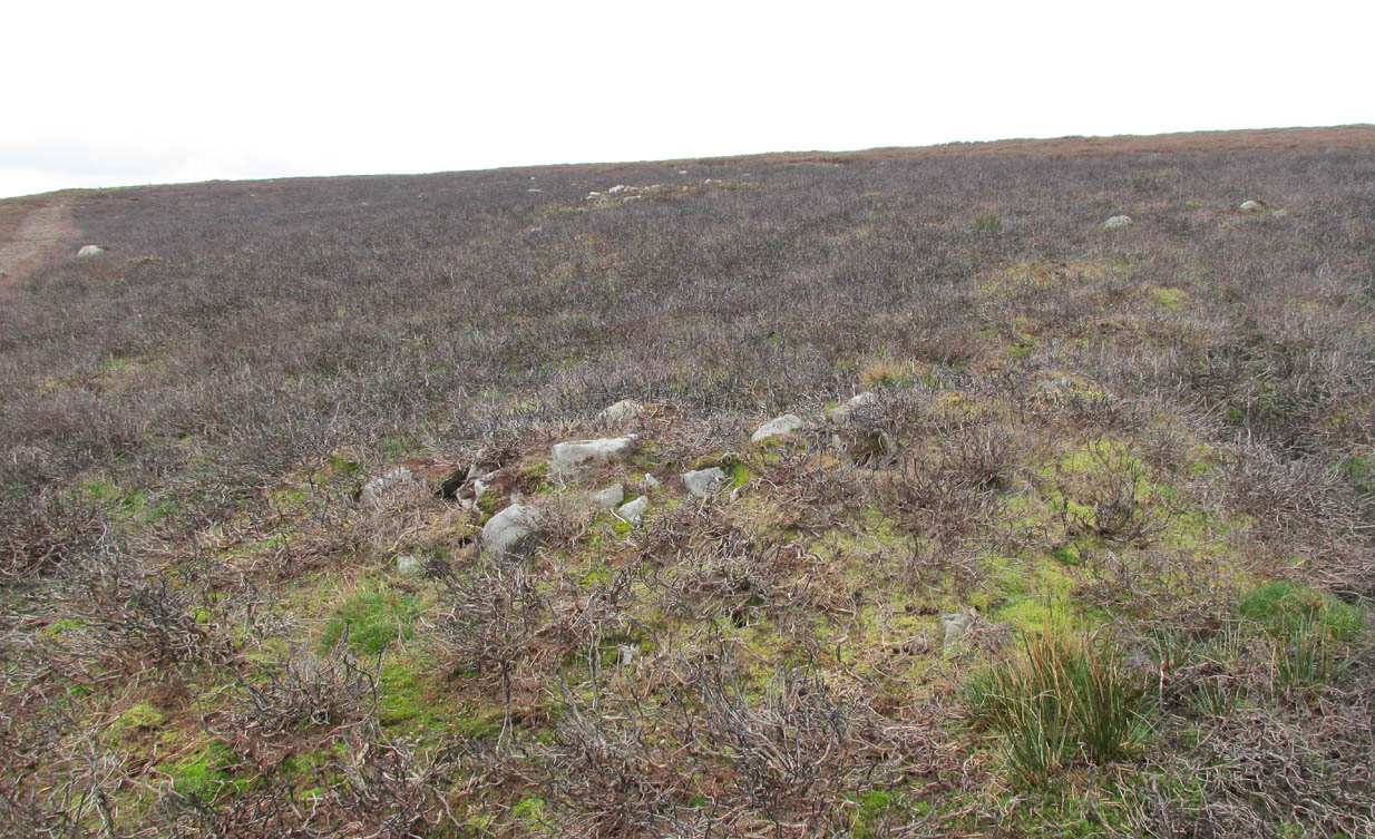
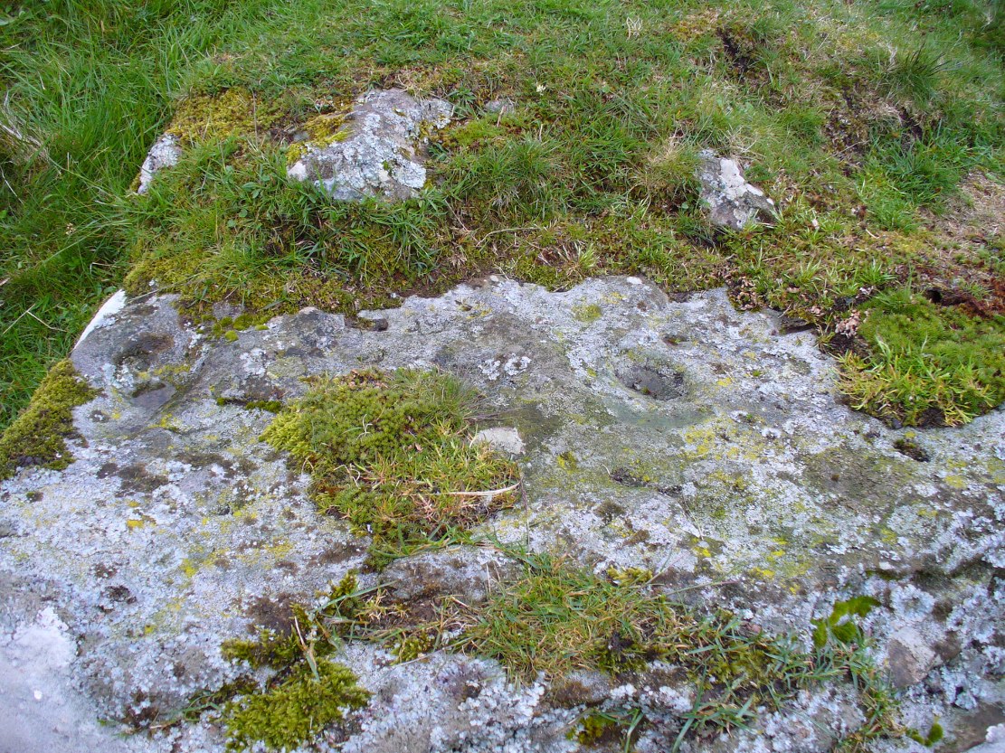
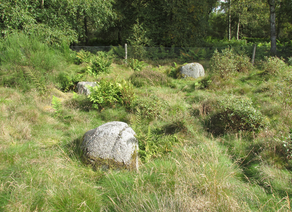
Another remarkable feature of the Hillock enclosure is an arc of three large earth fast boulders to the north-west of the mound. It has the appearance of being an incomplete, possibly four poster circle. The stones are not listed by Aubrey Burl (2000) as being part of a circle, and if indeed it was a circle there doesn’t seem to be any evidence of the fourth stone, which would have been positioned nearest to the Hillock. Unless the Hillock was imagined to be the ‘missing’ fourth stone.
A ‘well’ is shown on the modern OS map in the corner of the enclosure nearest the stile, but there was no evidence of this on the day of my visit.
Despite its rather remote location, it was noticeable by the well trodden state of the long grass on the day of my visit that the site receives quite a few visitors – a venue still for witches?
References:
- Burl, Aubrey, The Stone Circles of Britain, Ireland and Brittany, Yale University Press 2000.
- Royal Commission on the Ancient and Historical Monuments of Scotland, The Archaeological Sites & Monuments of South Kincardine, Kincardine and Deeside District, HMSO: Edinburgh 1982.
© Paul T. Hornby 2016 The Northern Antiquarian