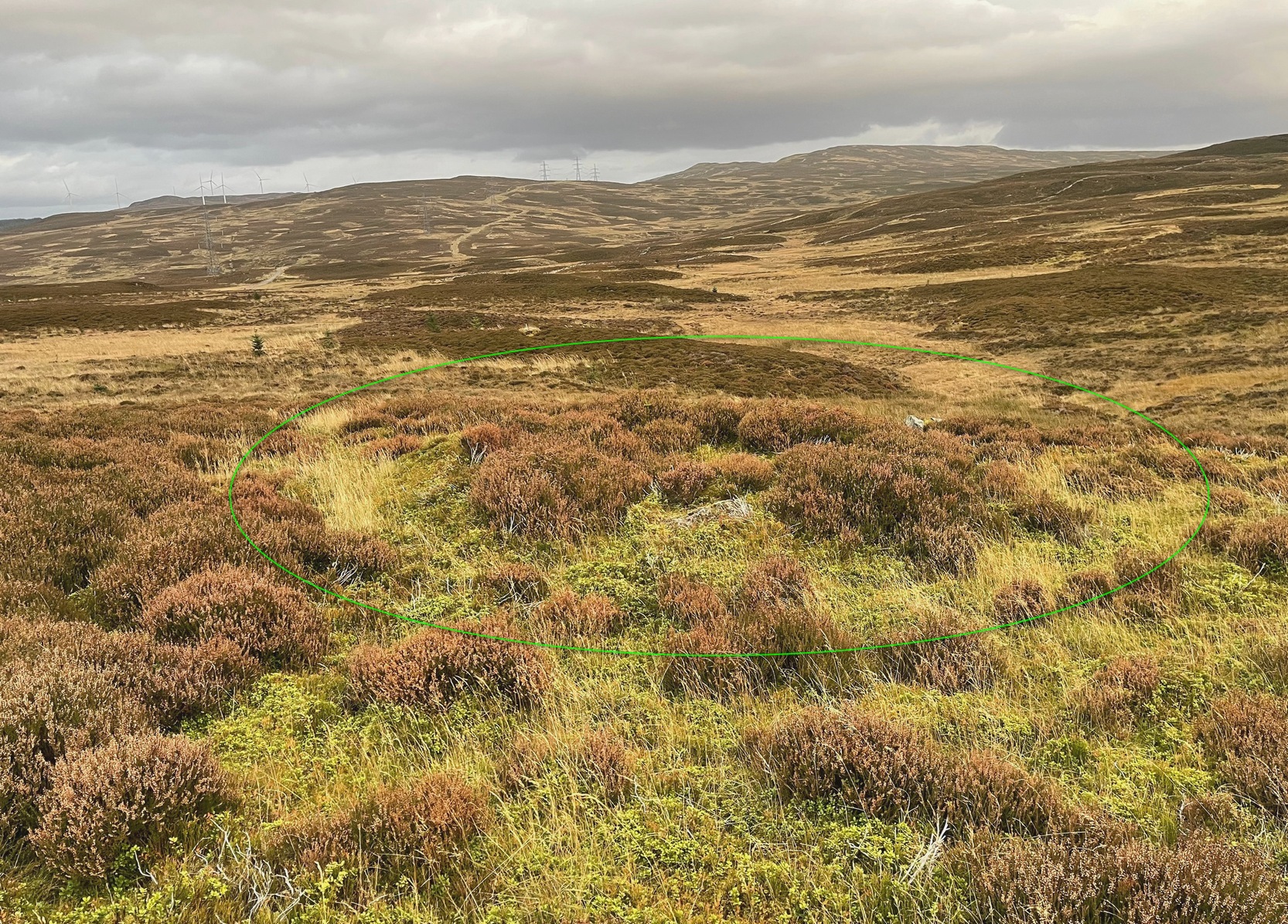
Hut Circles: OS Grid Reference – NN 9047 6722
Getting Here

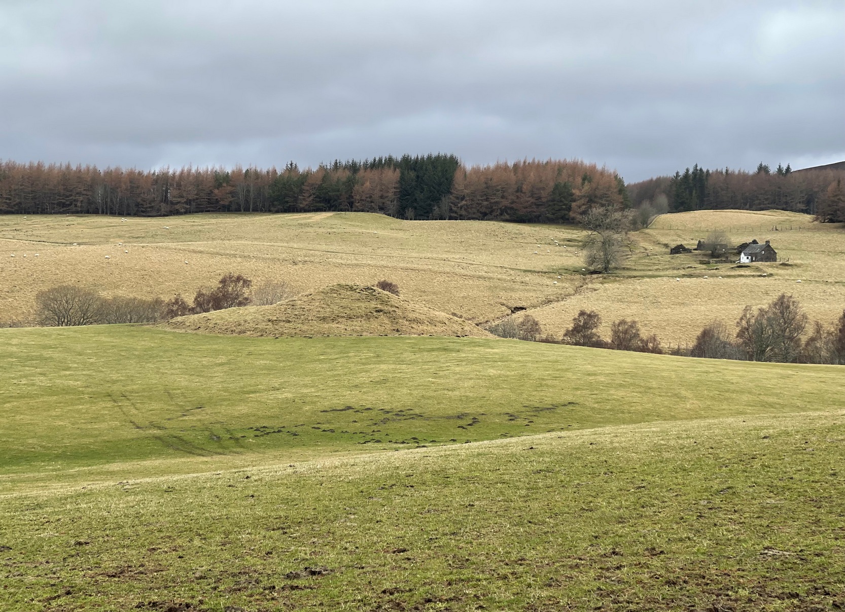
Along the B8079 road in Blair Atholl village, take the minor road signposted to the Bridge of Tilt. After half-a-mile, where the road splits, keep to the right and head further uphill and, where the almost-track-like road splits again another quarter mile up, bear to the right again and just keep going uphill for nearly two miles until your reach the large car-park on the left. Park here. Note the long straight line of walling on the top-side of the car-park that runs to the NW. Walk along the other side of the wall and, after 100 yards, you go down the marshy dip and, once it rises up onto the small rise, truly truly truly keep your eyes peeled to see what lays beneath your feet. They’re there – honestly!
Archaeology & History
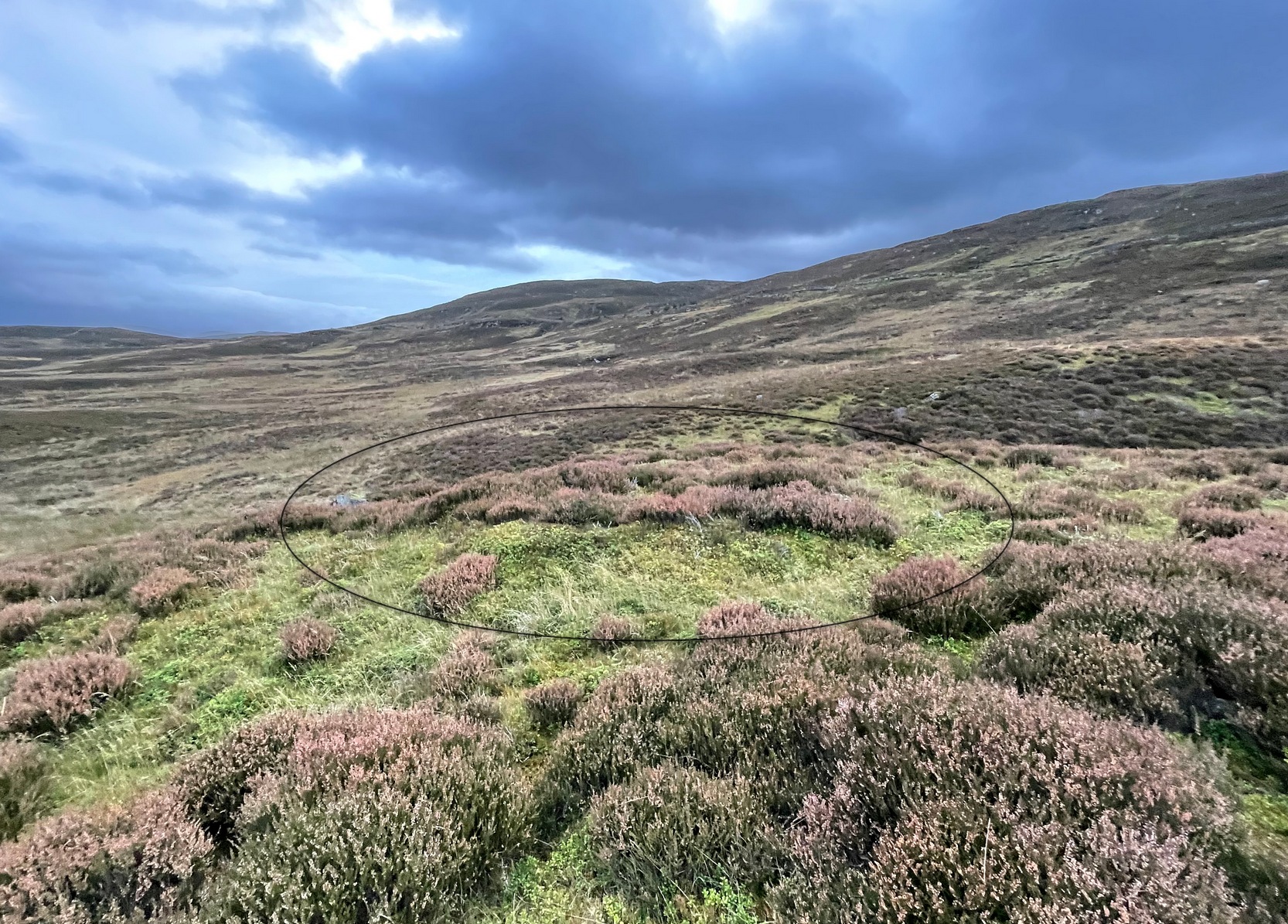
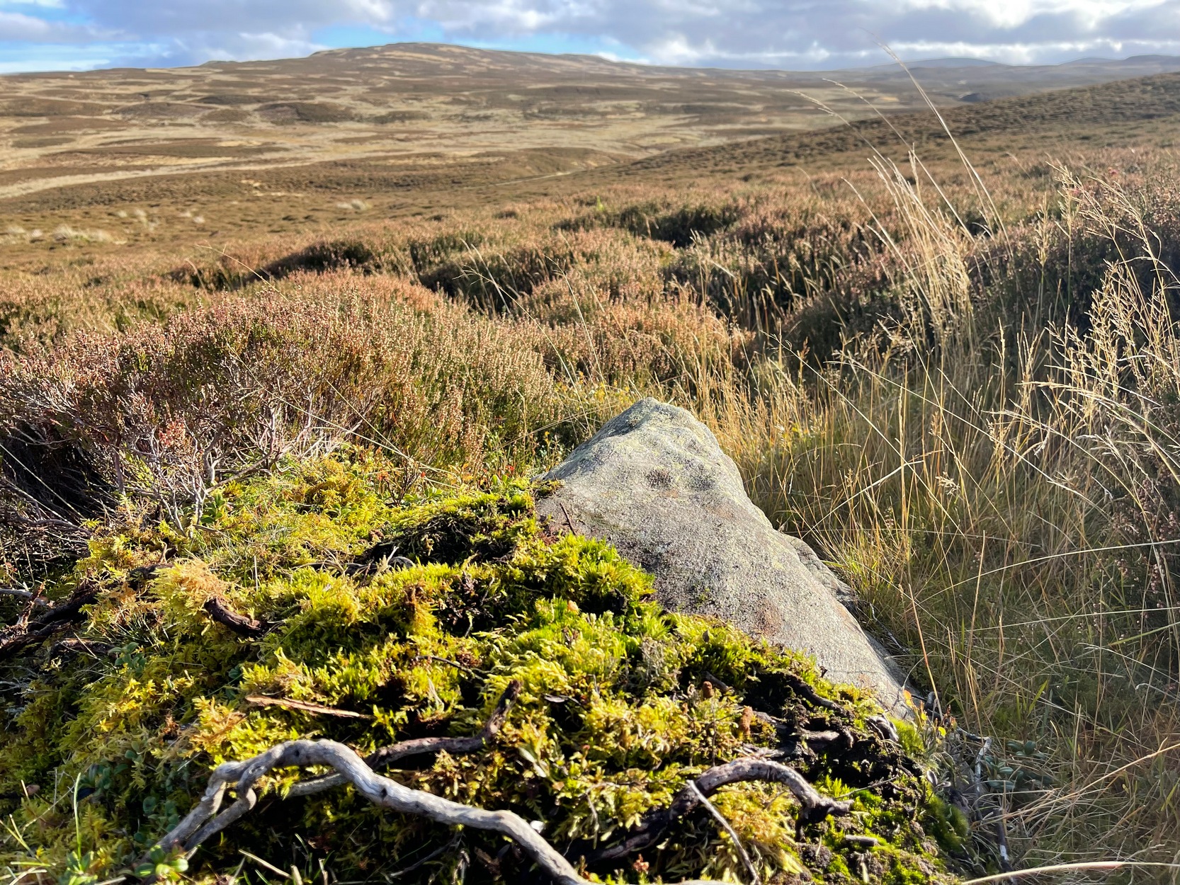
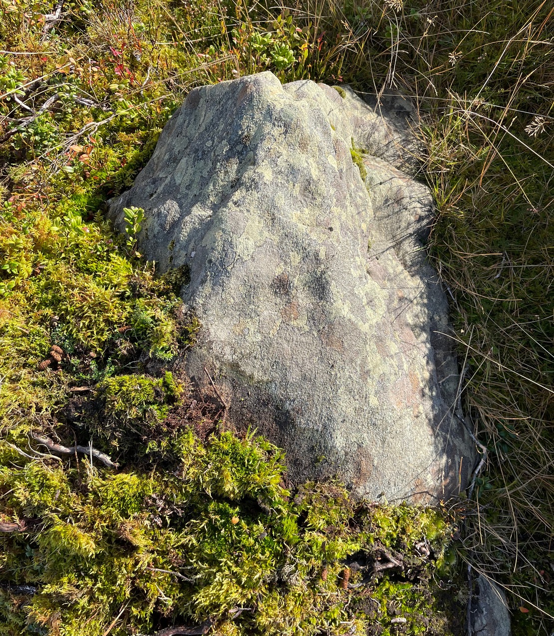
As the years drift by, the remains of these two hut circles—separated barely ten yards from each other—have become increasingly difficult to see. Upon our visit here, the hillside vegetation was at its lowest at the end of the Winter, yet it was still difficult to see them clearly, even when we stood right in them! The land here is marshy and it’s spreading more and more into the soil, slowly but surely taking these old circles back to Earth, where all things return….

The circles—and their half-dozen companions on the far-side of the wall—were shown to the archaeologist Margaret Stewart in the 1960s by the farmer at Monzie, who made notebooks of various places and traditions in this area. Both of them are between 12 and 13 yards across, with the outlining walls that define them still thankfully visible above ground level—just! The hut circle that’s closest to the modern wall is more oval-shaped than its circular companion, both of whom have their respective doors or entrances on the southwestern sides—but these were equally difficult to make out when we came here.
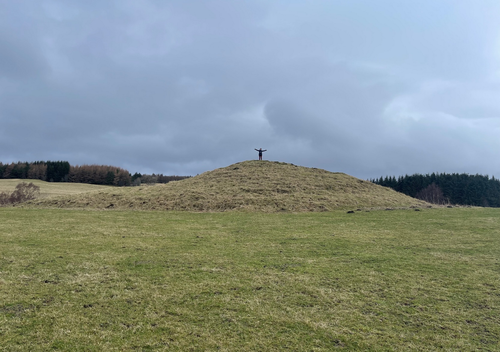
To be honest, if you’re wanting to see the hut circles, I’d head for those on the other side of the wall, two or three hundred yards to the west, which are much easier to find and are in better condition.
Acknowledgements: To my awesome Naomi – for getting us up here.
© Paul Bennett, The Northern Antiquarian