Cup-and-Line Stone OS Grid-Reference – SE 07492 44836
Also Known as:
- Carving no.25 (Hedges)
- Carving no.64 (Boughey & Vickerman)
Getting Here
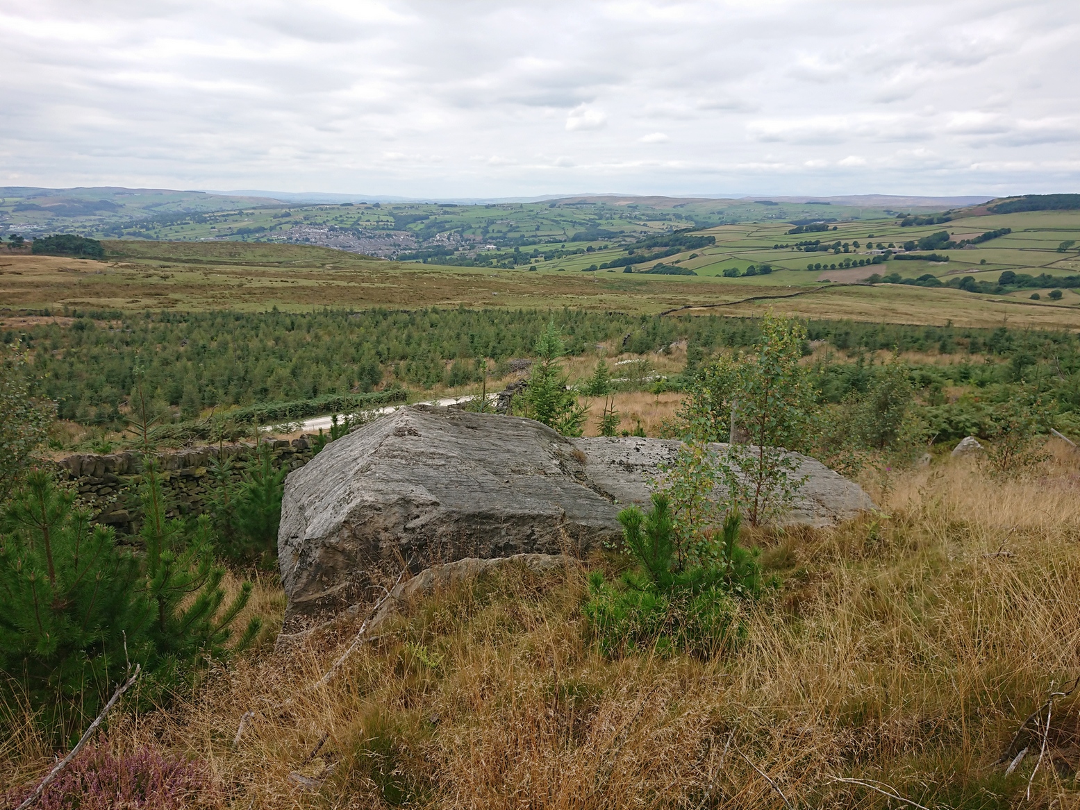
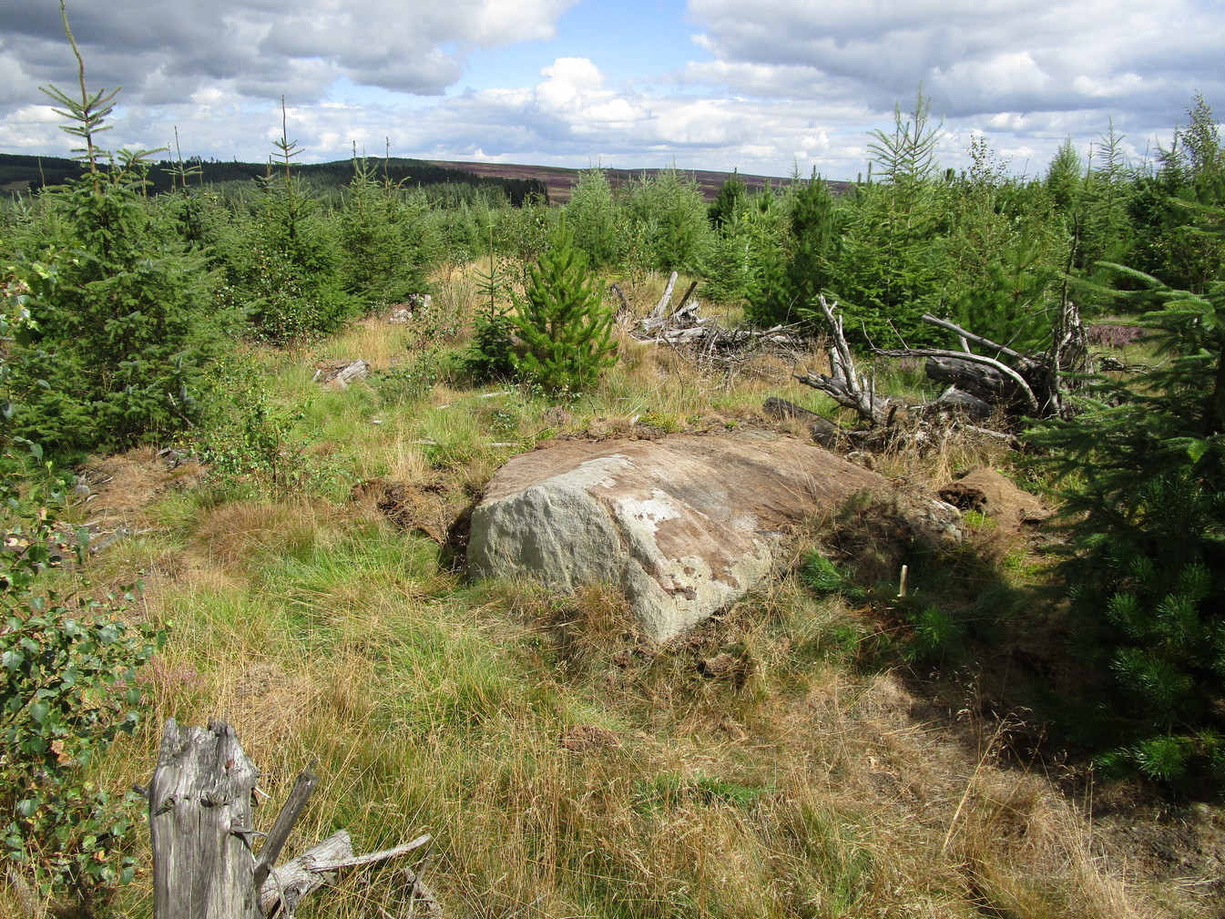
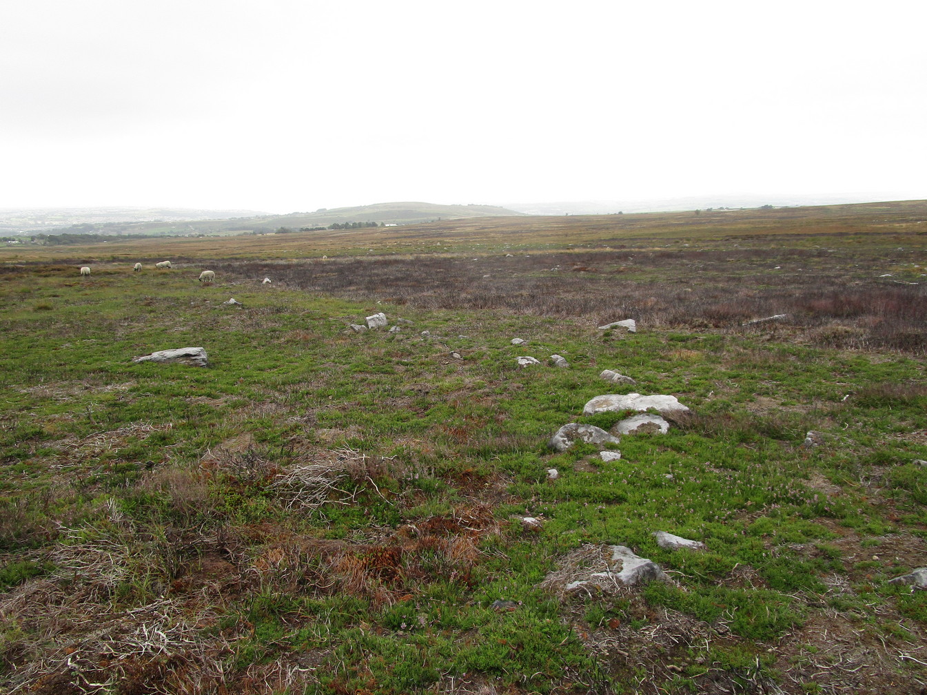
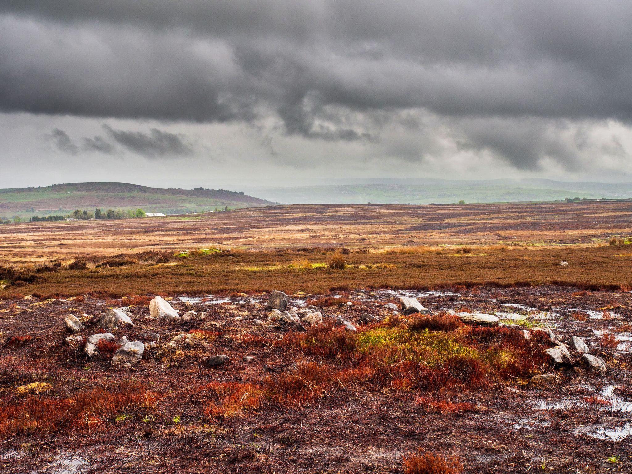
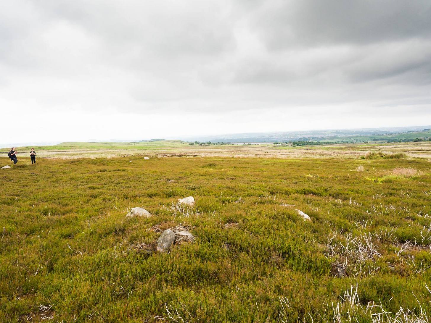
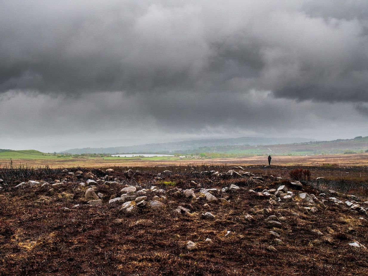
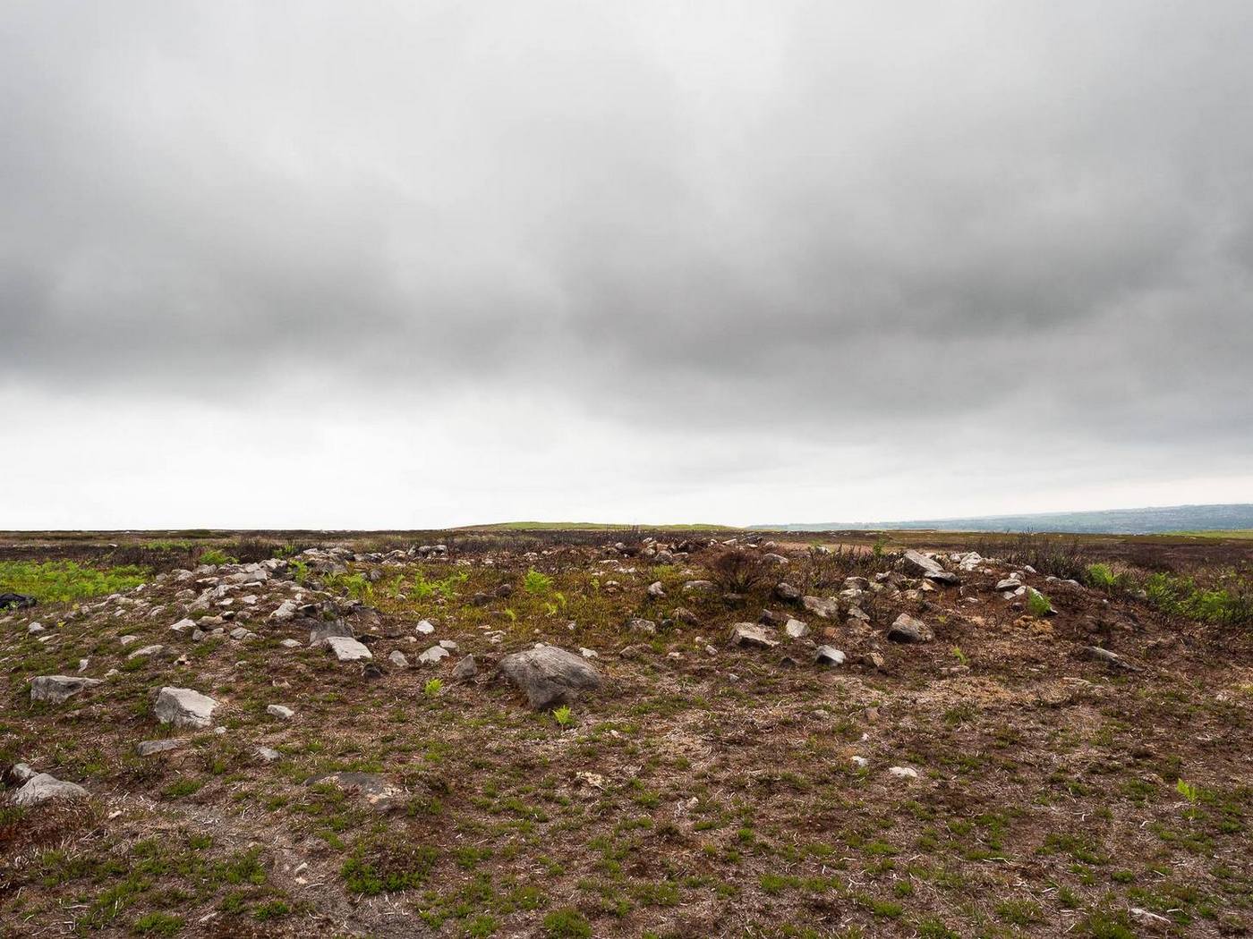
Coming via the Keighley-Bingley (Airedale) B6265 road, go up to Riddlesden and then up the winding Banks Lane until you reach the T-junction. Turn left here and about 330 yards along, on the right-side of the road is a dirt-track. Walk up here, sticking to the track (not the footpath) towards the cliffs of Rivock ahead of you, going through the gate and into the Rivock woods area. 450 yards on from the gate, on your right you’ll pass the long straight line of walling running uphill and literally 275 yards further along the track from here, walk straight up into the trees for 20 yards where, just before the slope begins to truly veer into an “uphill” state, you’ll see the stone in question!
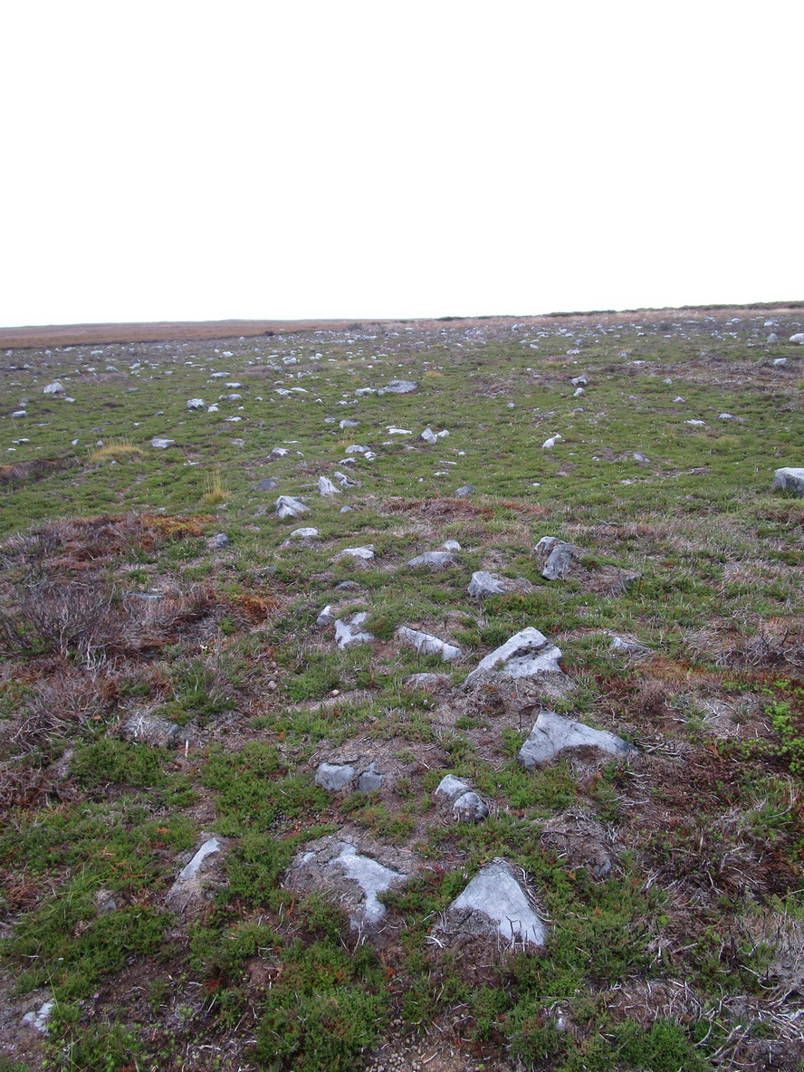
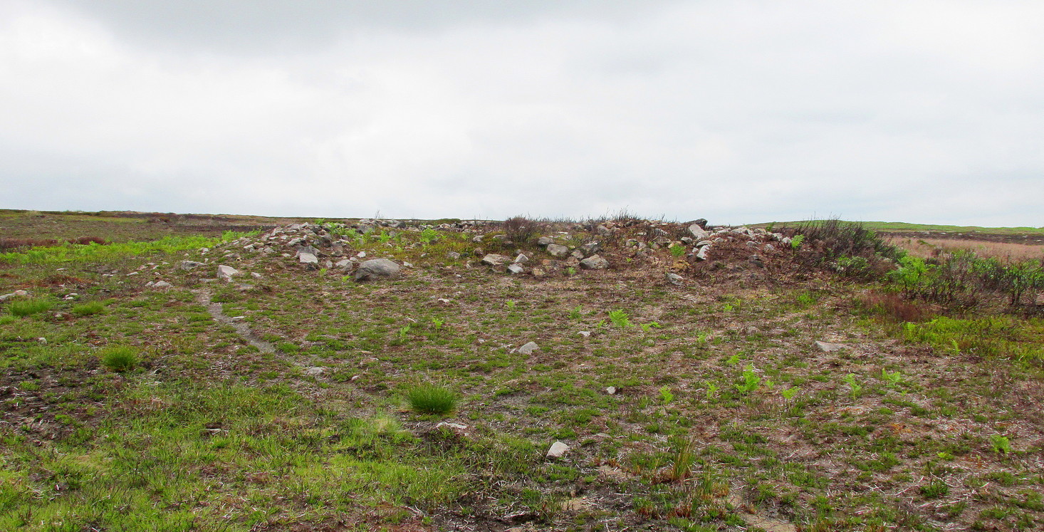
Archaeology & History
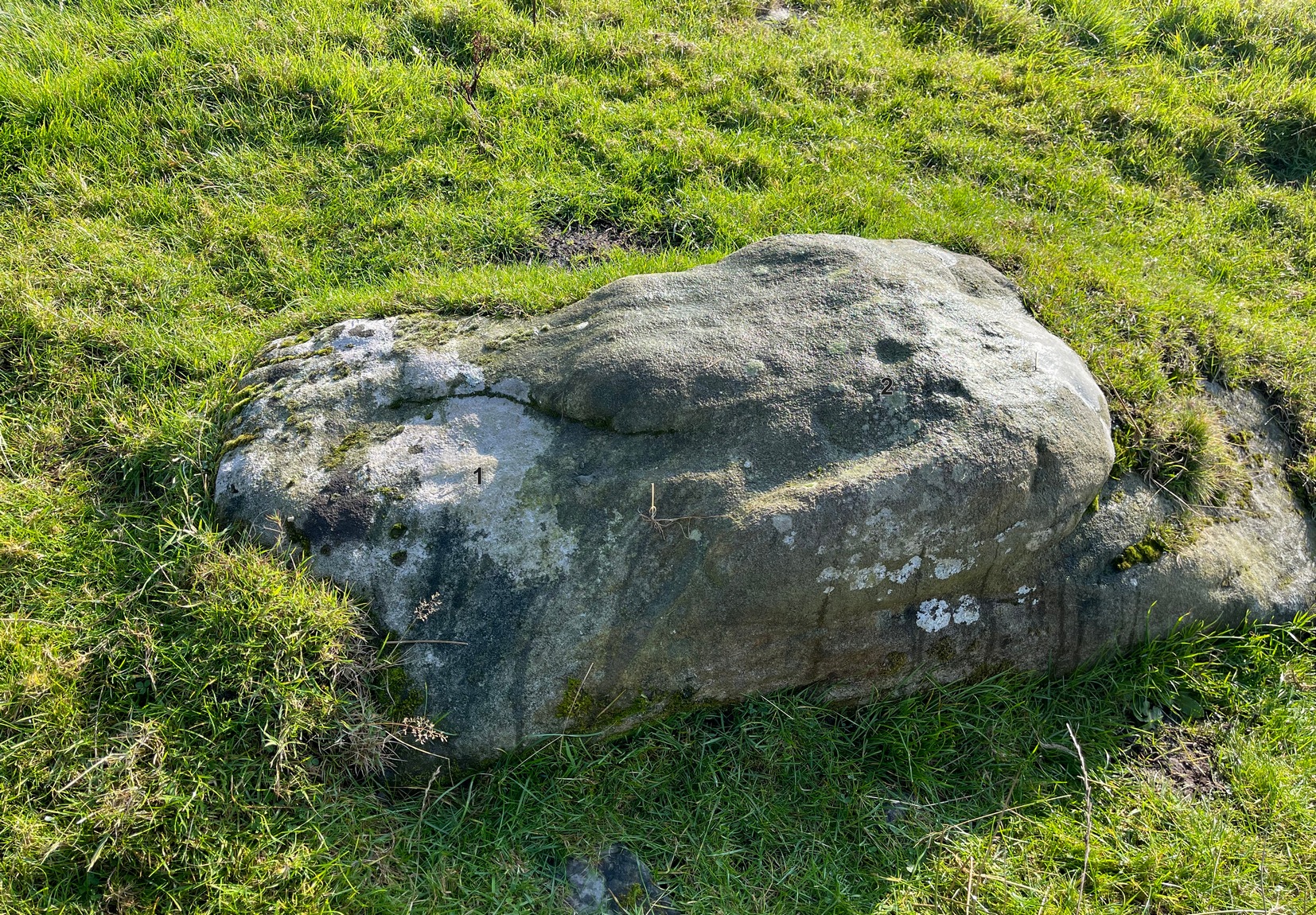
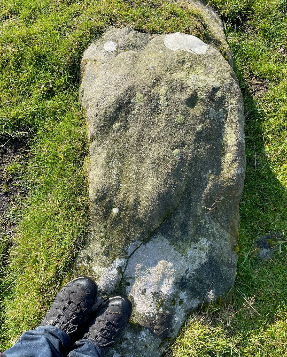
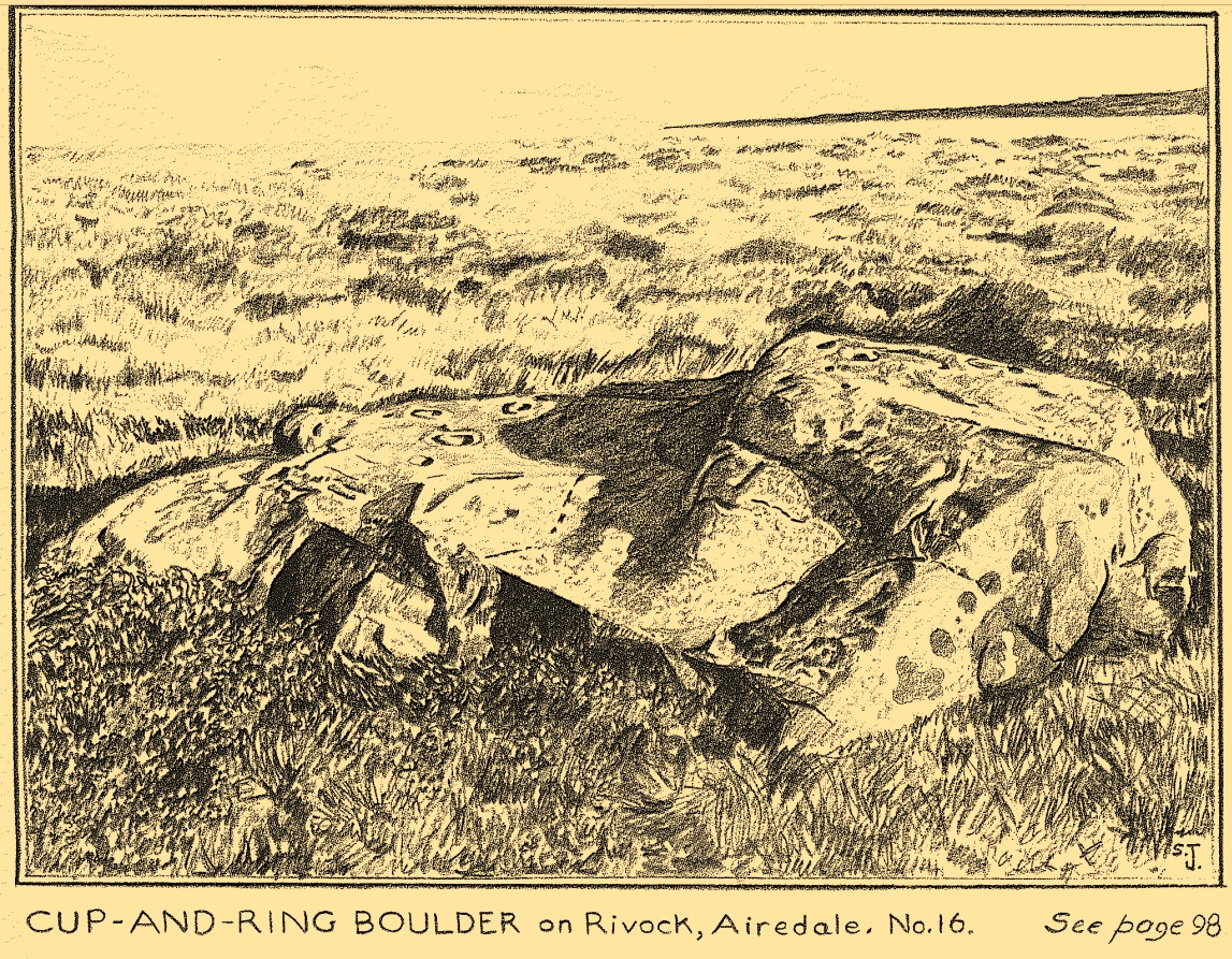
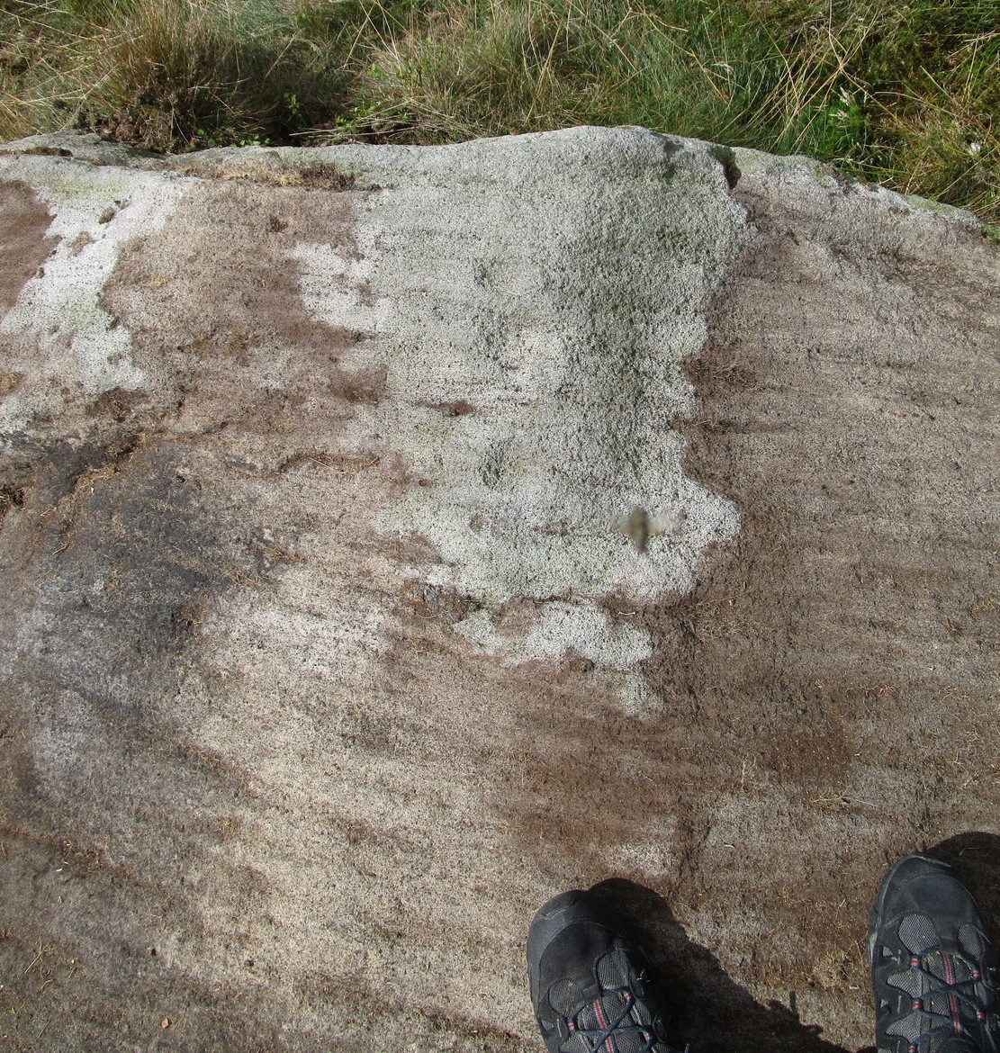
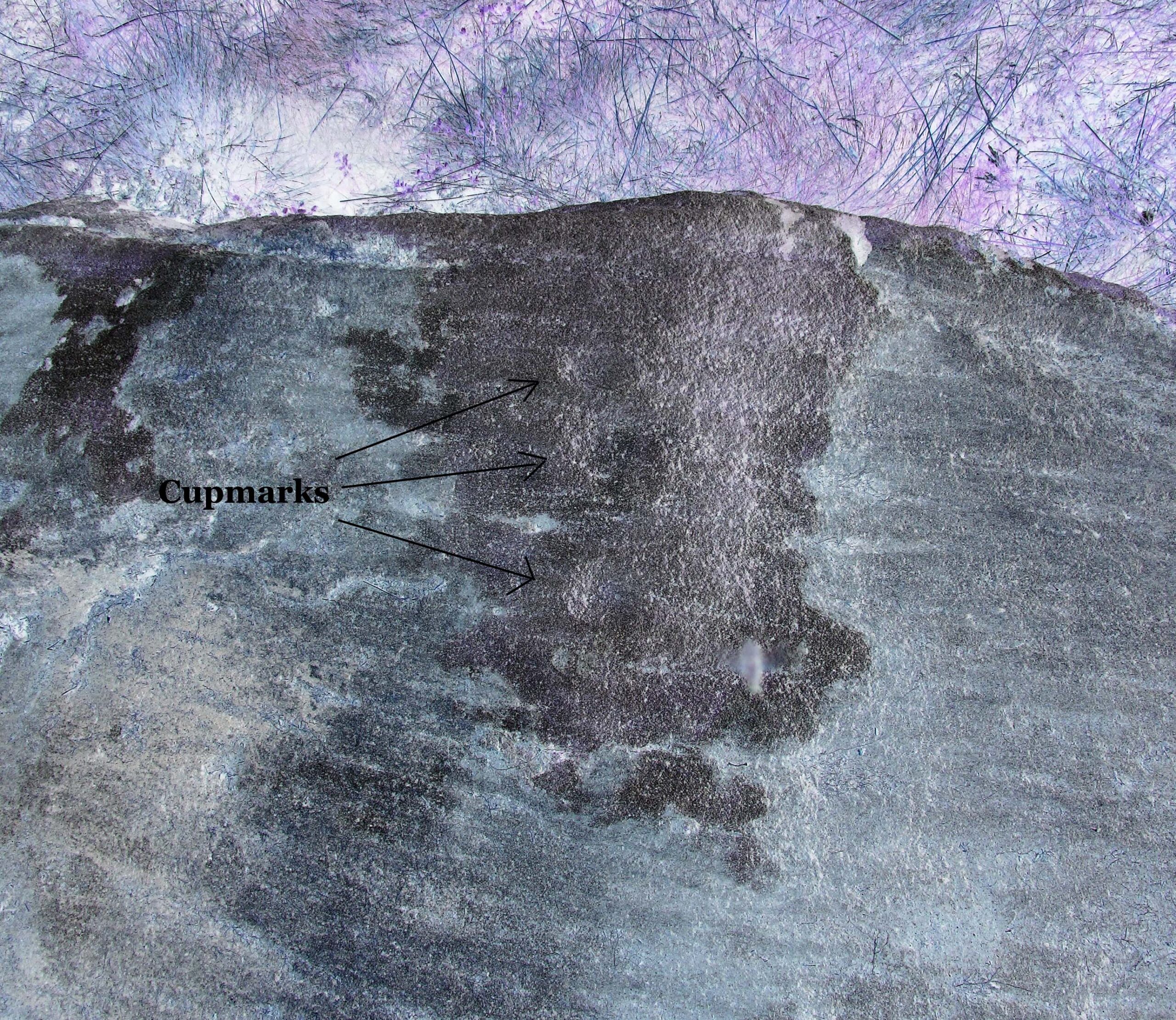
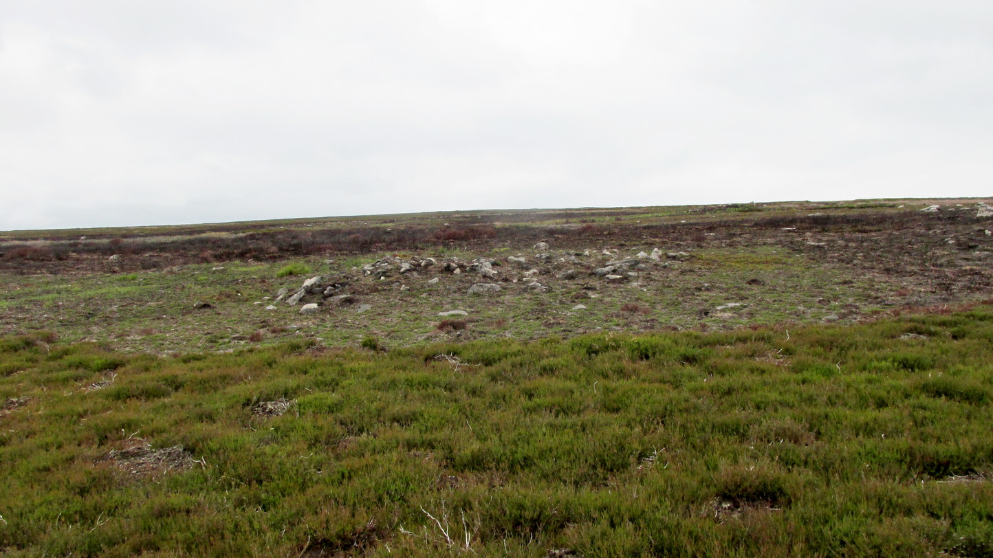
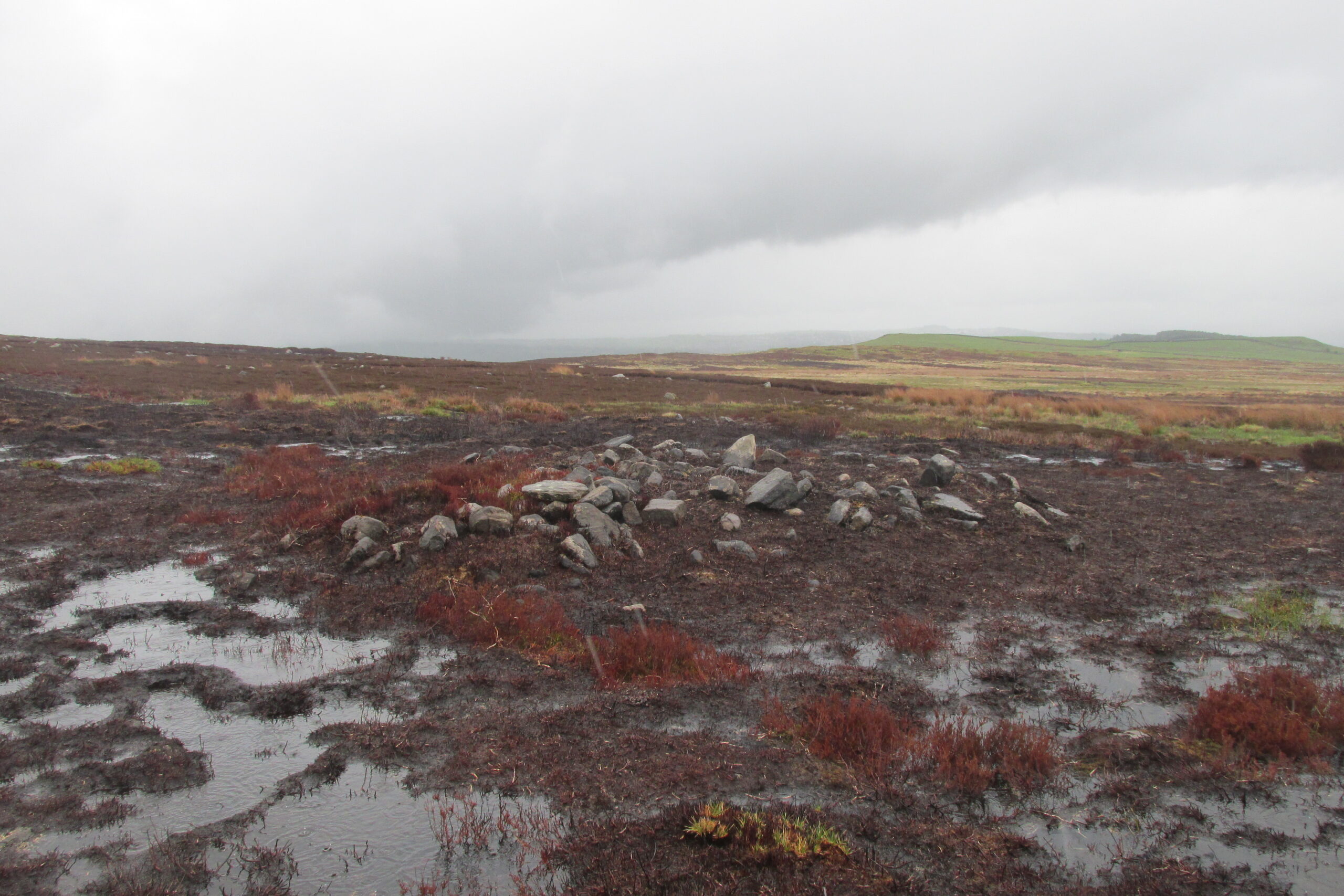
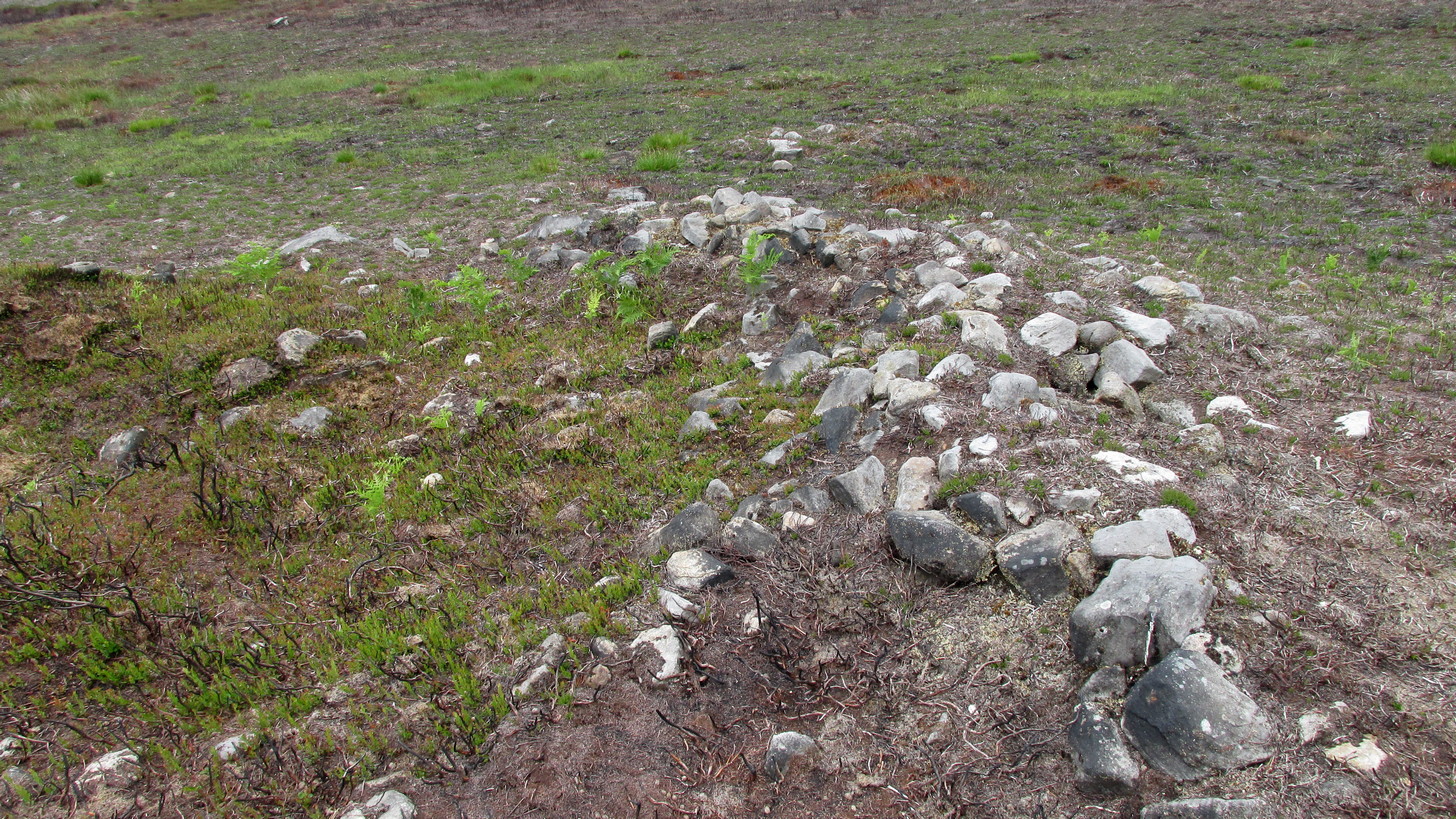
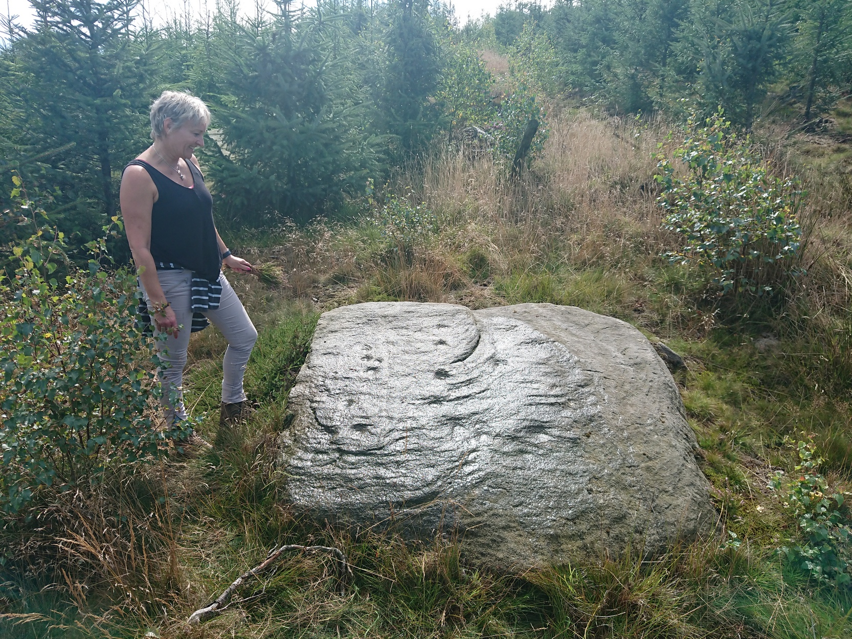
In 1961 when Stuart Feather rediscovered this carving, the “rock was almost completely covered by a six-inch layer of peat and vegetation.” But, like all good rock art explorers, he slowly and carefully peeled it all back and brought back to light another one of Rivock’s olde stories. We know not what the story on the rock might tell, but it looks good nonetheless! Feather counted “several cups carved on it”, but a few more have ben discerned since then. When Boughey & Vickerman (2003) described it in their typically minimalist way, they told it be a “large square rock with surface in slope of hill. About nineteen cups.” Evocative stuff!
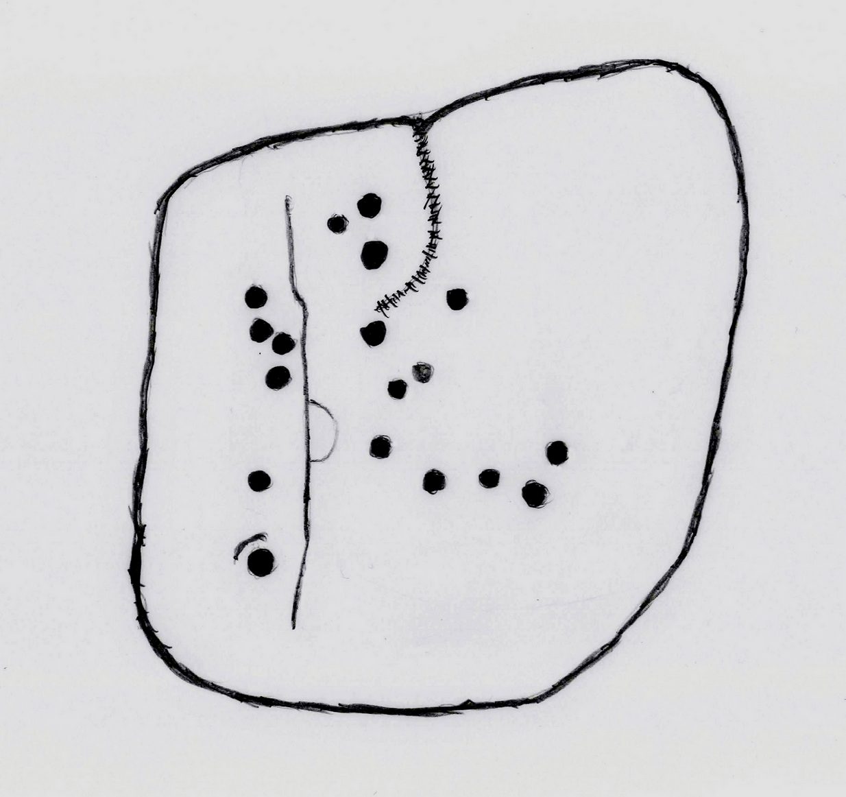
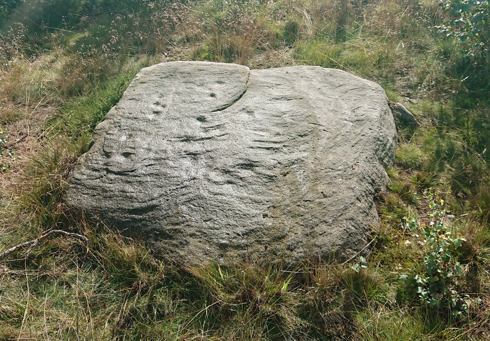
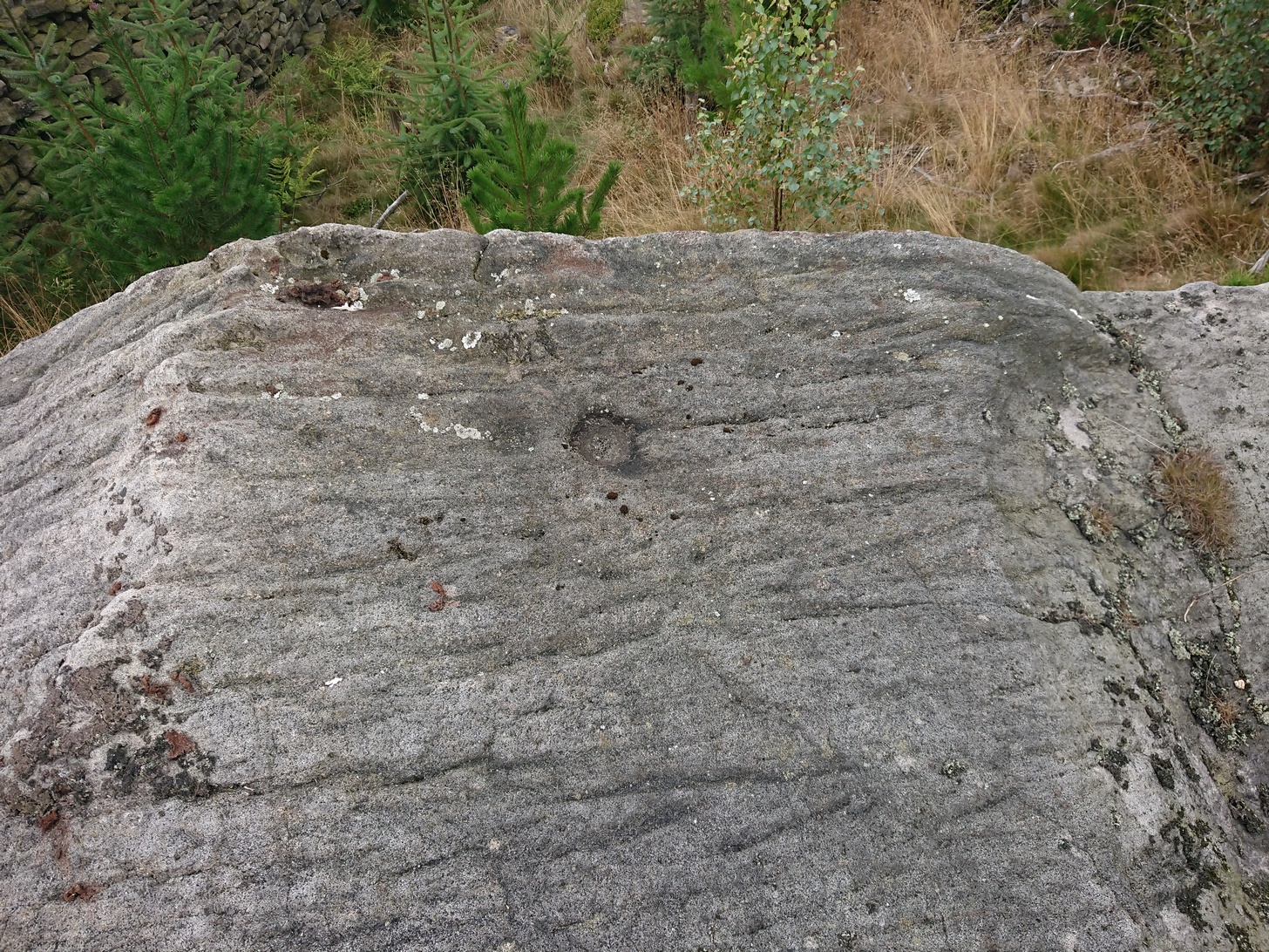
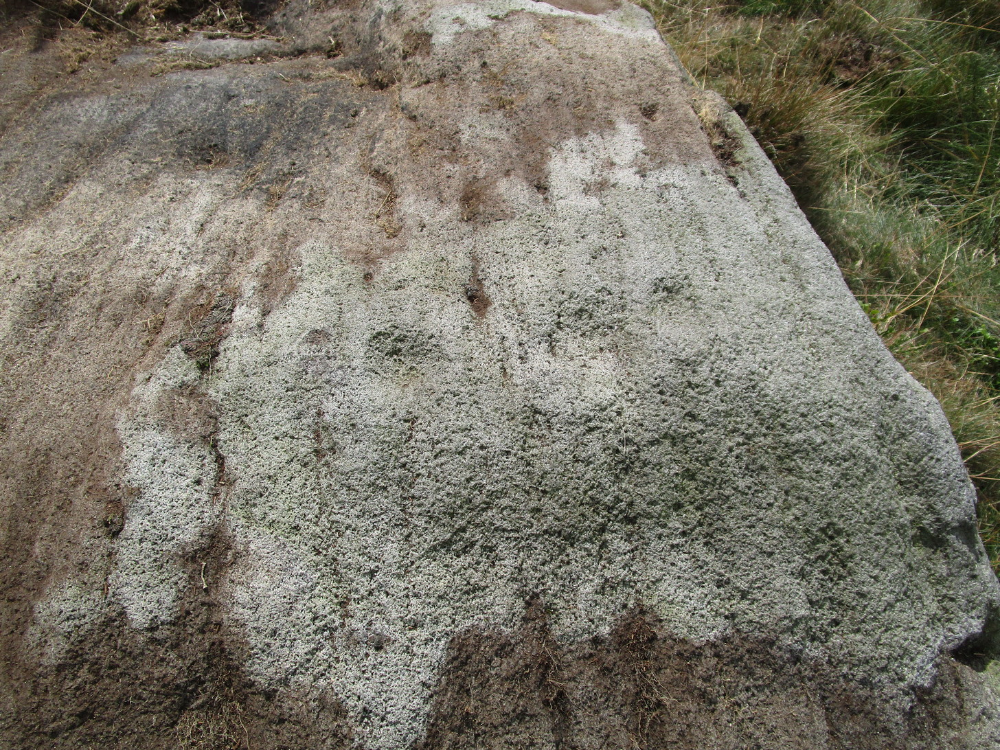
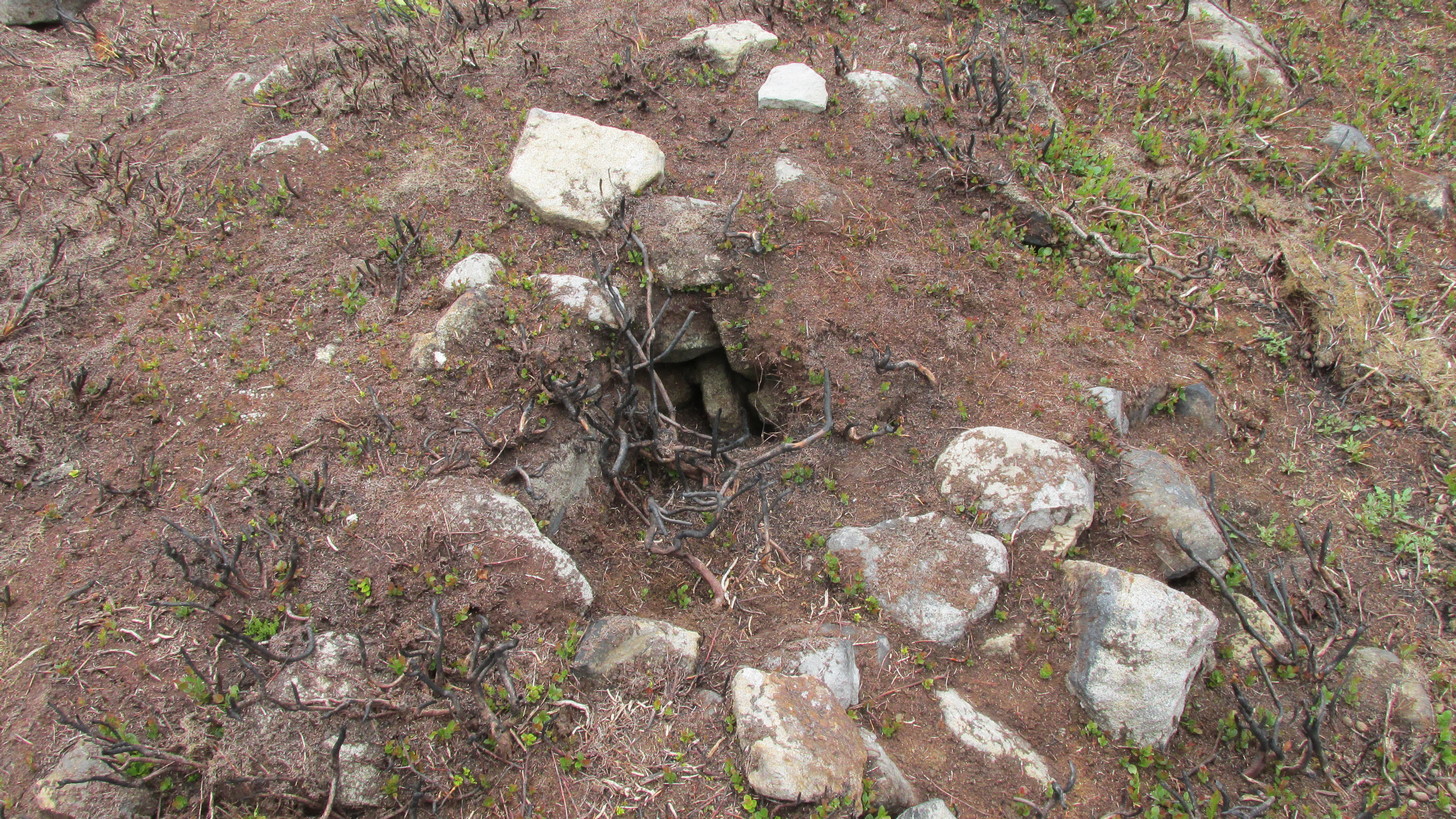
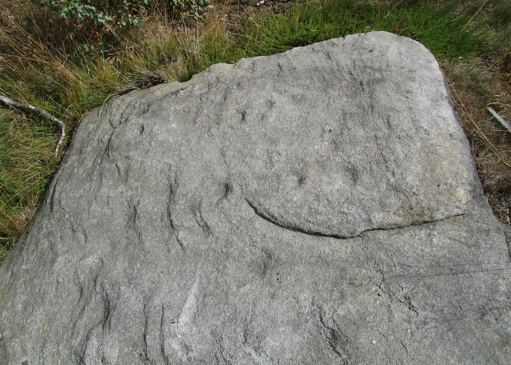
When I first saw visited this carving as a young lad, the thing which stood out to me more than anything was the long but faint line that ran down one section of the stone. Added to this was an equally faint arc attached to the side of the line, like a “D” form. A few months later I did a sketch of it on my second visit, but I’ve looked and looked and seem to have lost it. (not good) The one I’ve done here is a recent one. As we can see, a series of cup-marks straddle each side of the D-line and are plainly visible, which implies that the line was carved much earlier than the cups. Of course, it’s possible that the cups were repeatedly forged over and over many times over a century or more and the D-line, for whatever reason, left untouched.
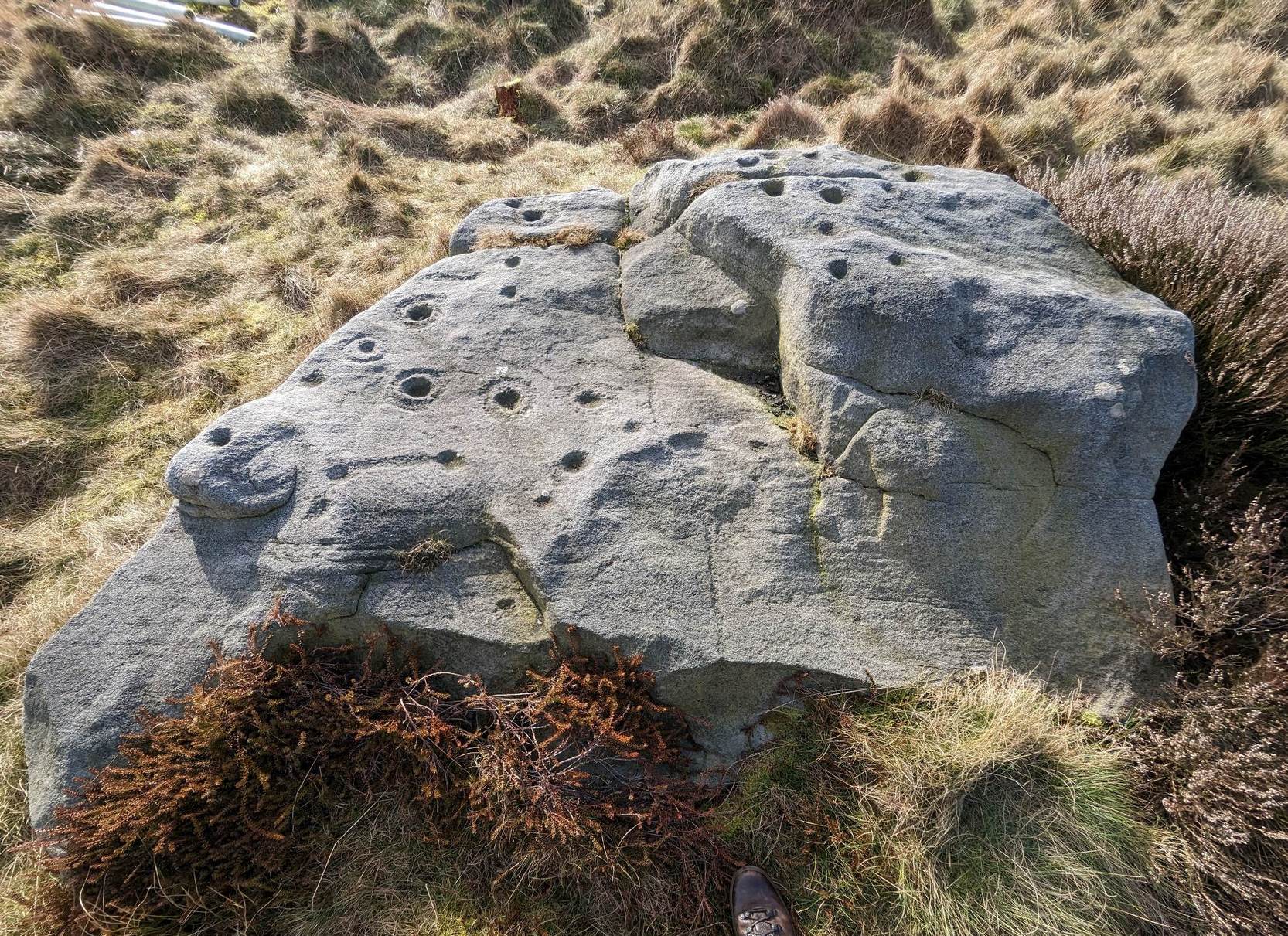
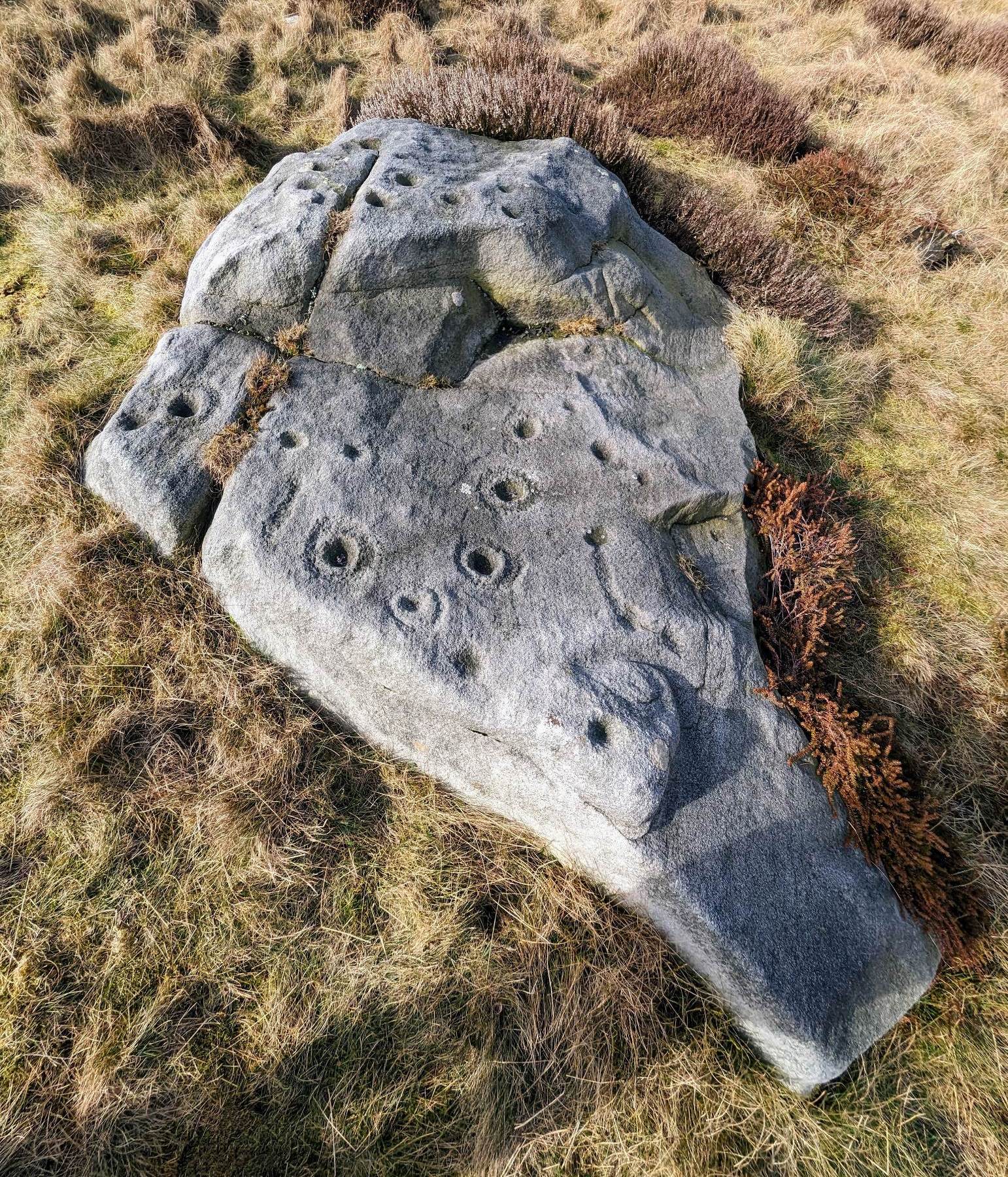
Another interesting aspect of this D-line is its repetition in the much more ornate petroglyph 35 yards to the east (presently known as Rivock 67 until we devise something more appropriate). The recently rediscovered Slinger Stone 100 yards south may also have the same feature, but this needs further surveying before we can say for sure.

References:
- Bennett, Paul, ‘The Prehistoric Rock Art and Megalithic Remains of Rivock & District (2 parts),’ in Earth, 3-4, 1986.
- Boughey, Keith & Vickerman, E.A., Prehistoric Rock Art of the West Riding, WYAS 2003.
- Feather, Stuart, ‘Mid-Wharfedale Cup-and-Ring Markings: No. 14, Rivock,’ in Cartwright Hall Archaeology Group Bulletin, 7:1, 1962.
- Hedges, John (ed.), The Carved Rocks on Rombald’s Moor, WYMCC: Wakefield 1986.
Acknowledgements: With thanks to Andy Roberts for giving this stone its modern name.
© Paul Bennett, The Northern Antiquarian