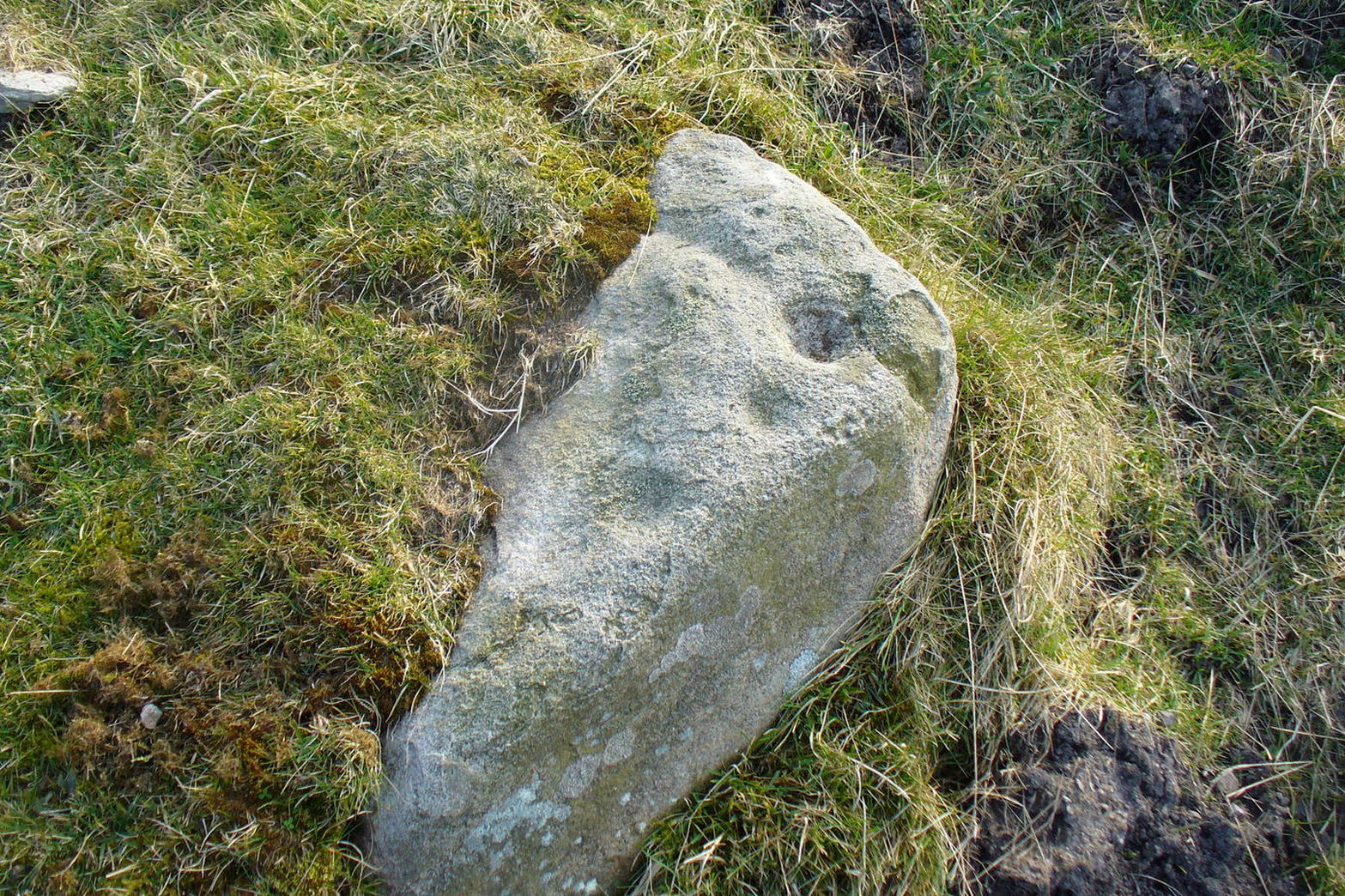
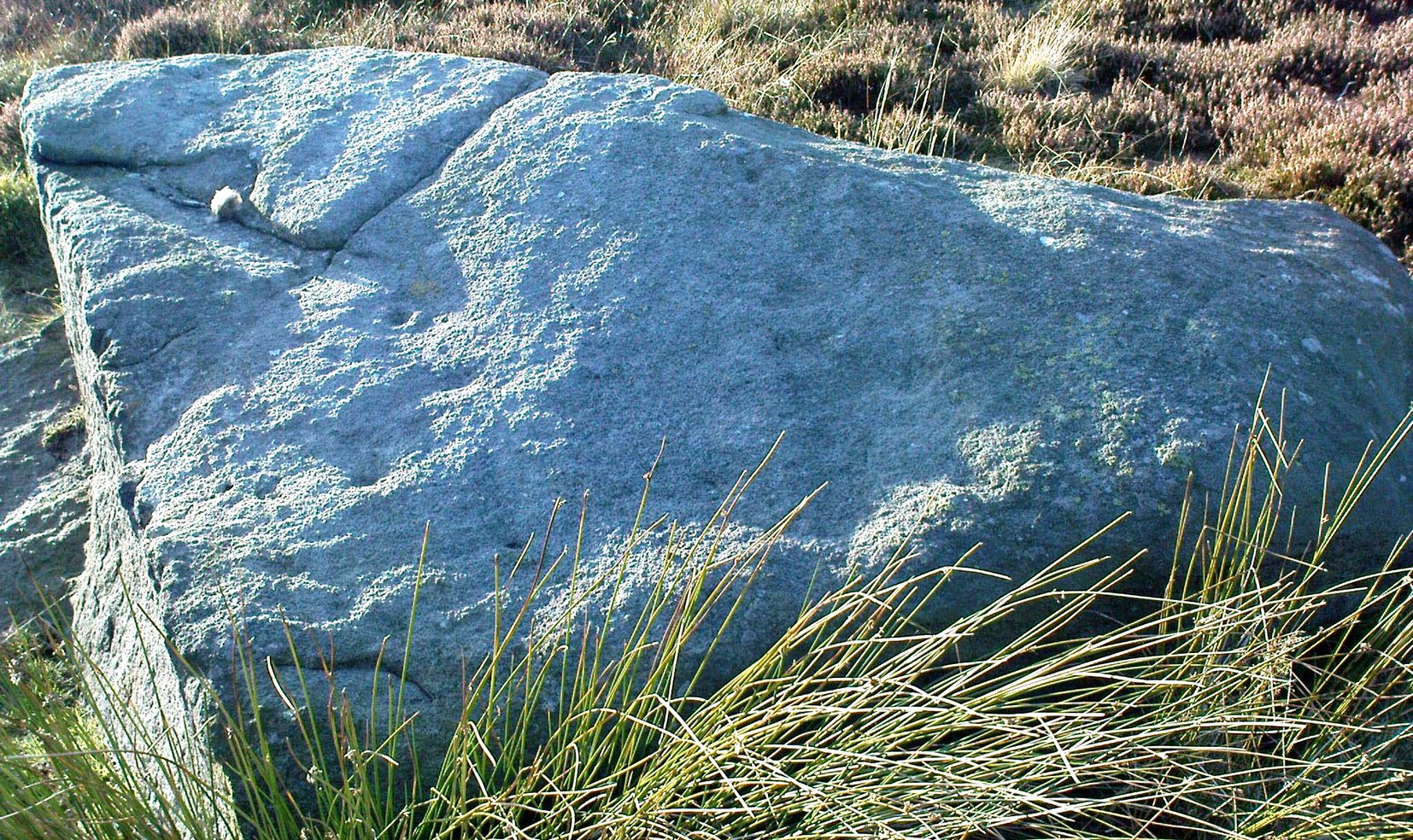
Cup-Marked Stone: OS Grid Reference – SE 08673 47062
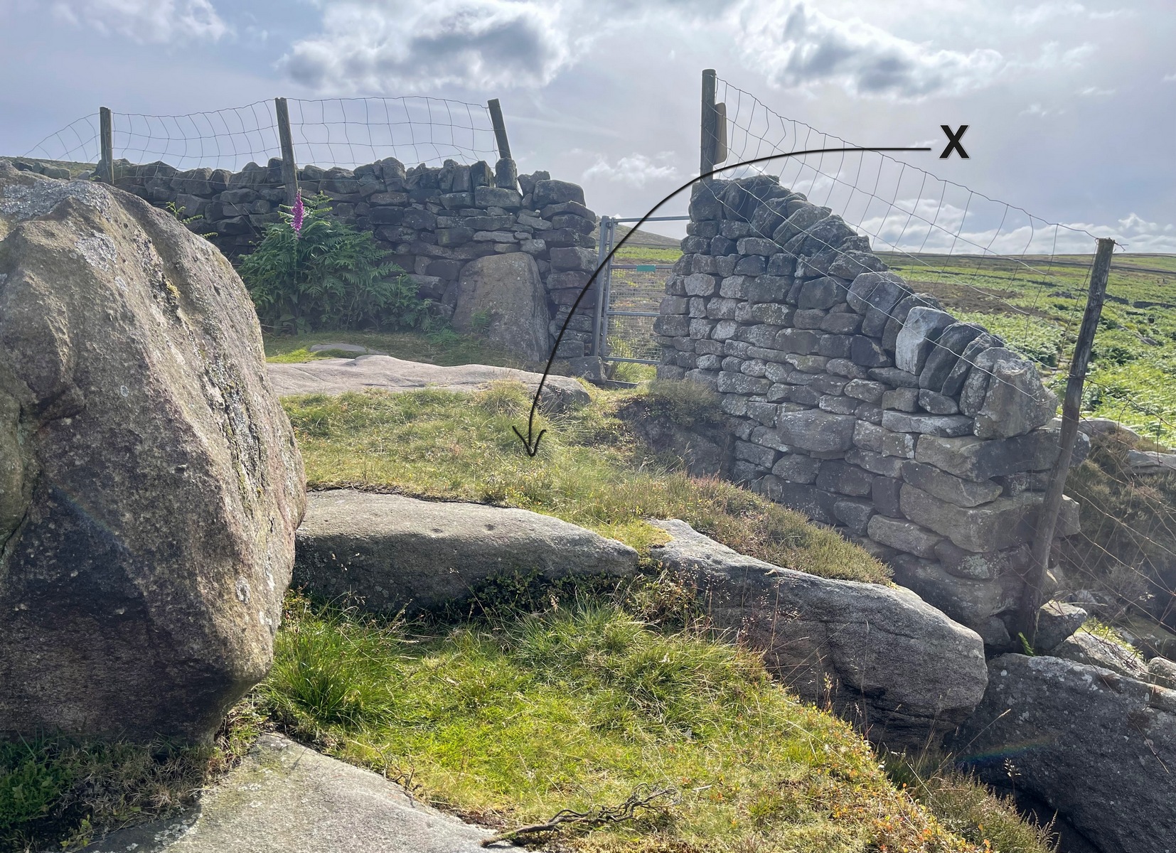
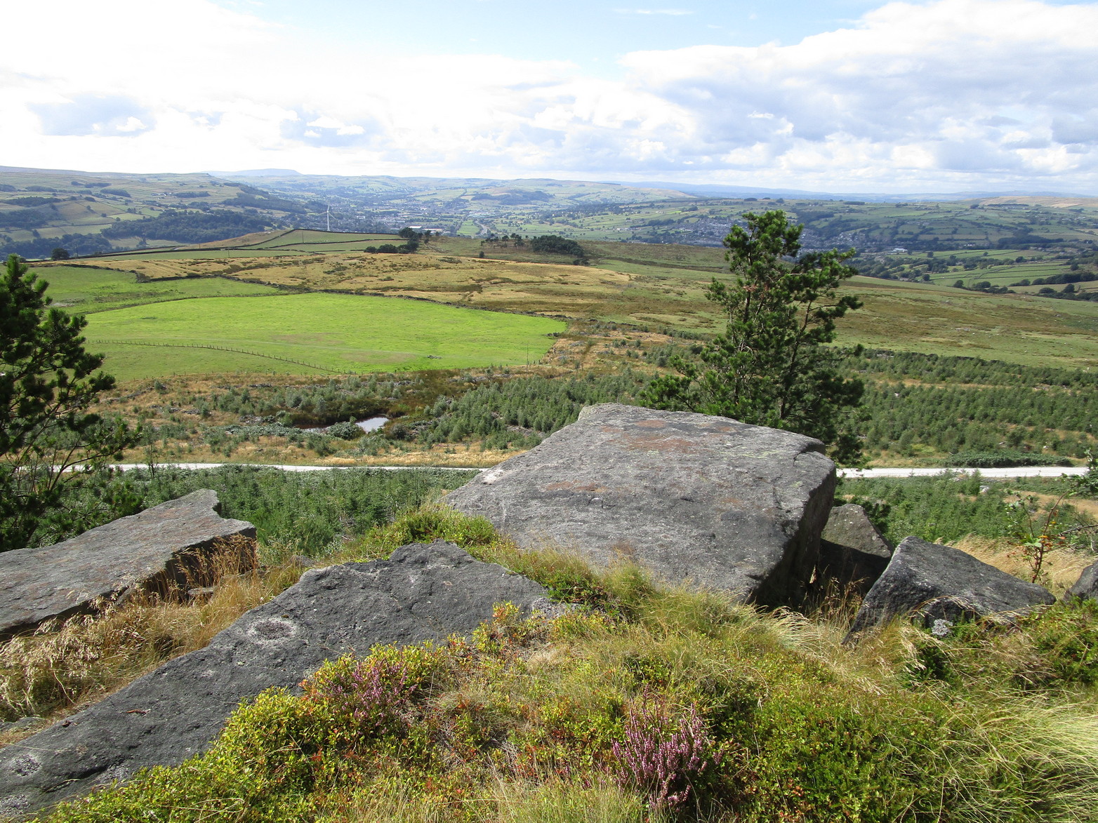
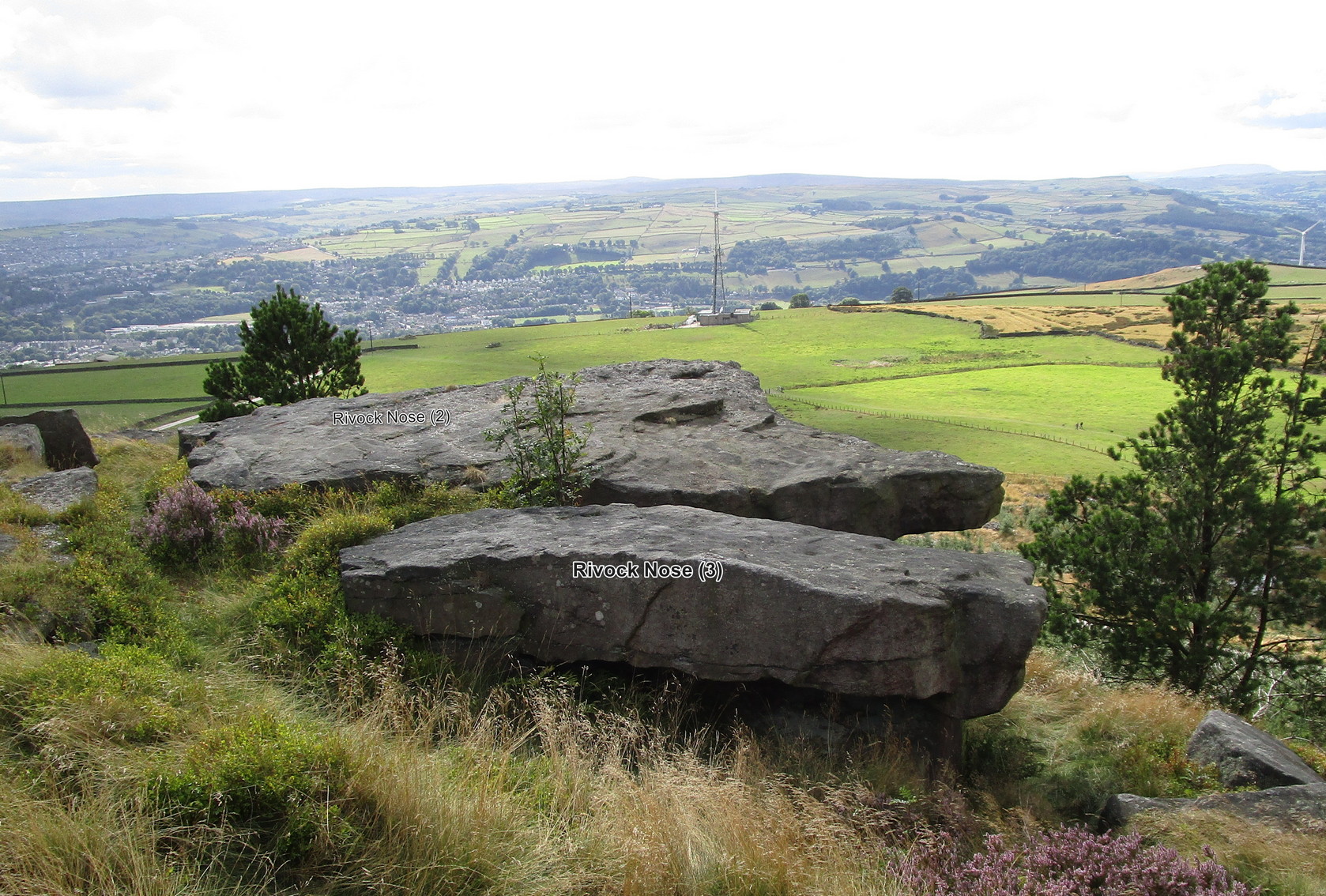
Heading up from Ilkley, follow the directions to reach the Swastika Stone, then keep walking (west) along the footpath to the small clump of trees, and keep walking past them too and keep going along the same path as if you’re heading toward the Piper’s Stone. About 200 yards before reaching it, just where the gate and boundary stone is in the old walling, there’s a small line of crags to the right of your feet and there, at the edge of the path, is the stone in question. You’ll see it (unless it’s a cloudy gray day, in which case you might struggle).
Archaeology & History
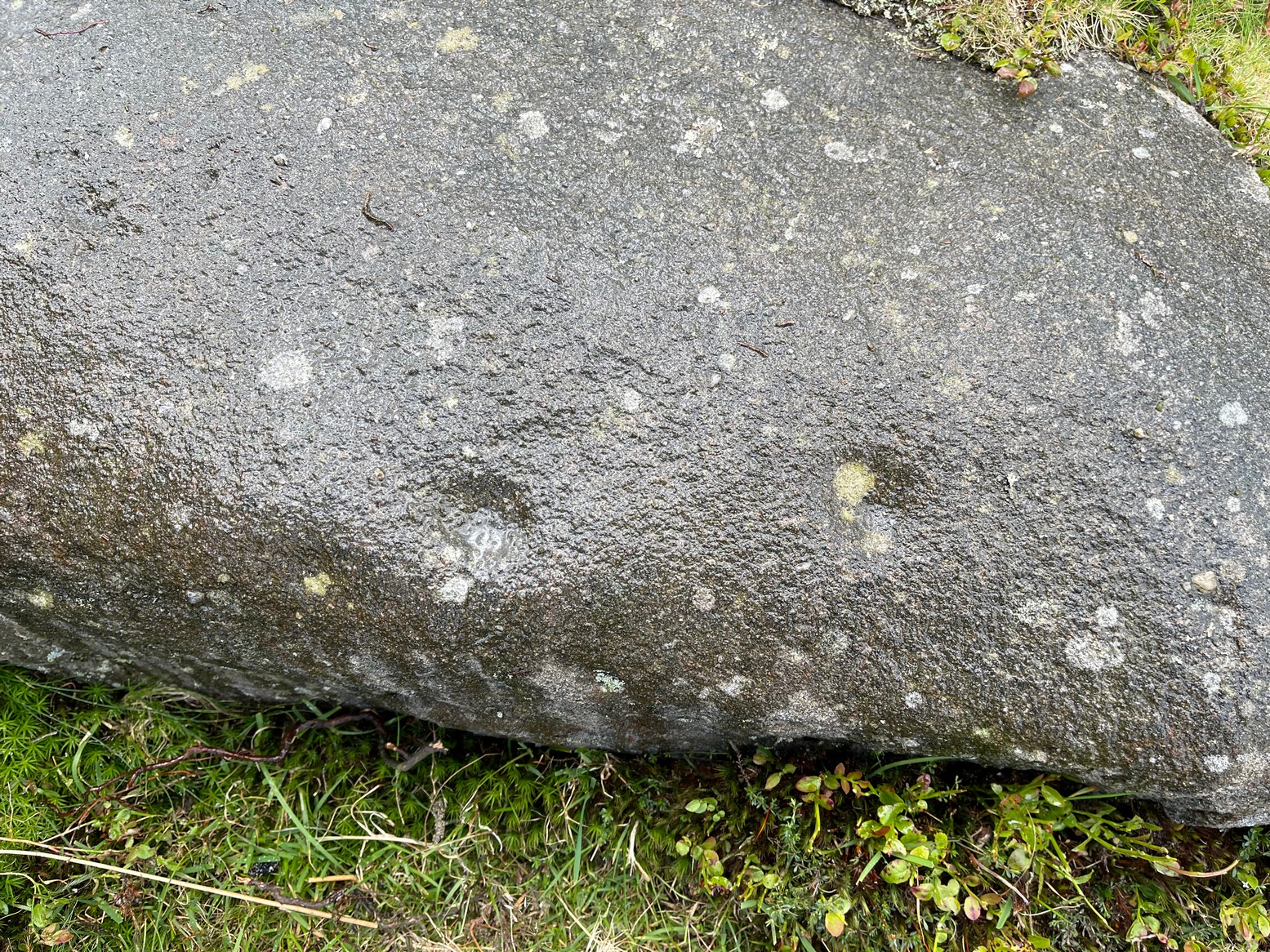
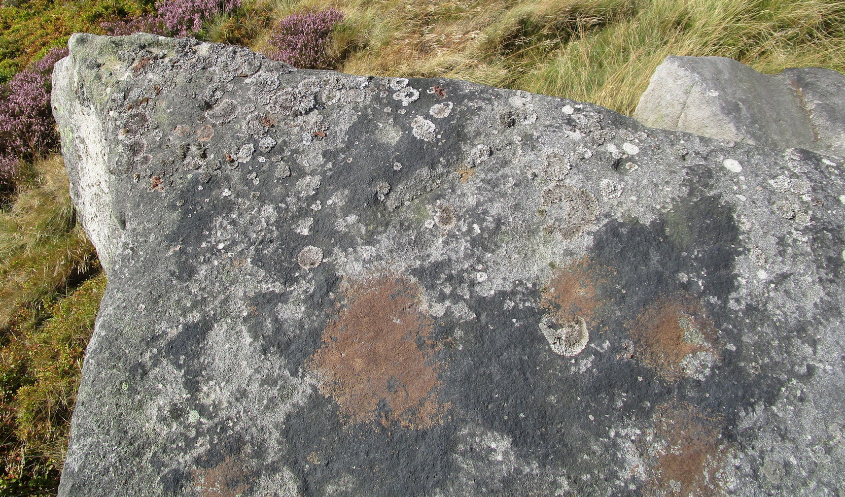
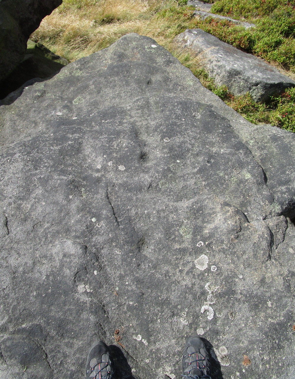
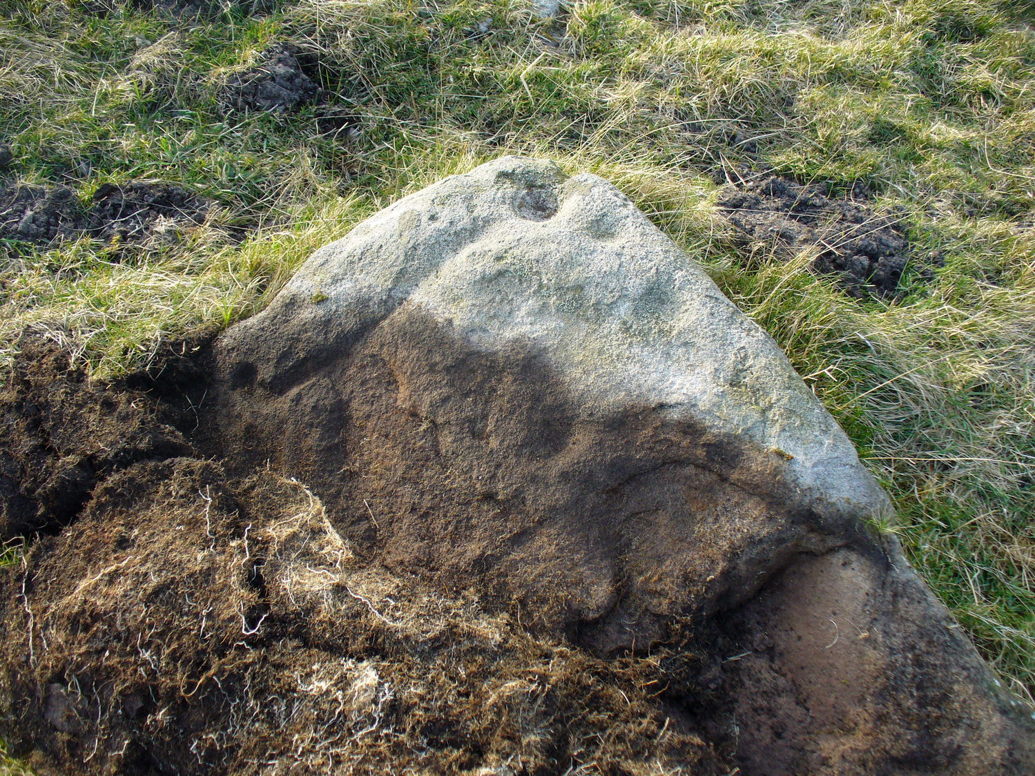
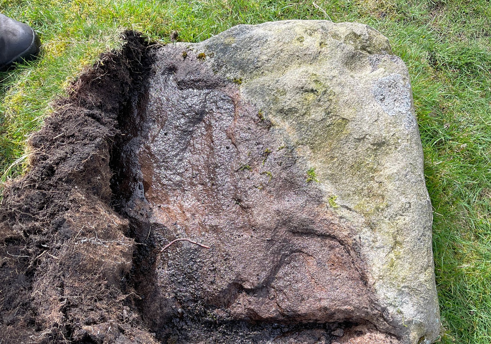
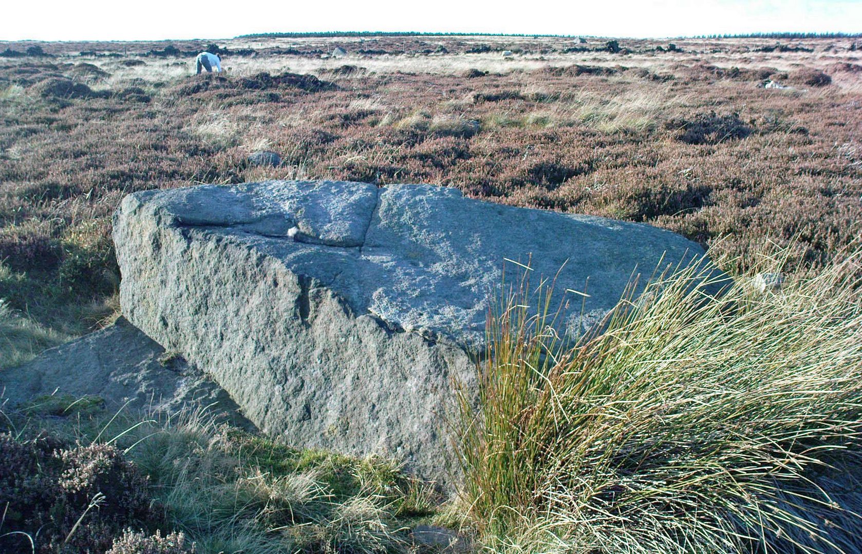
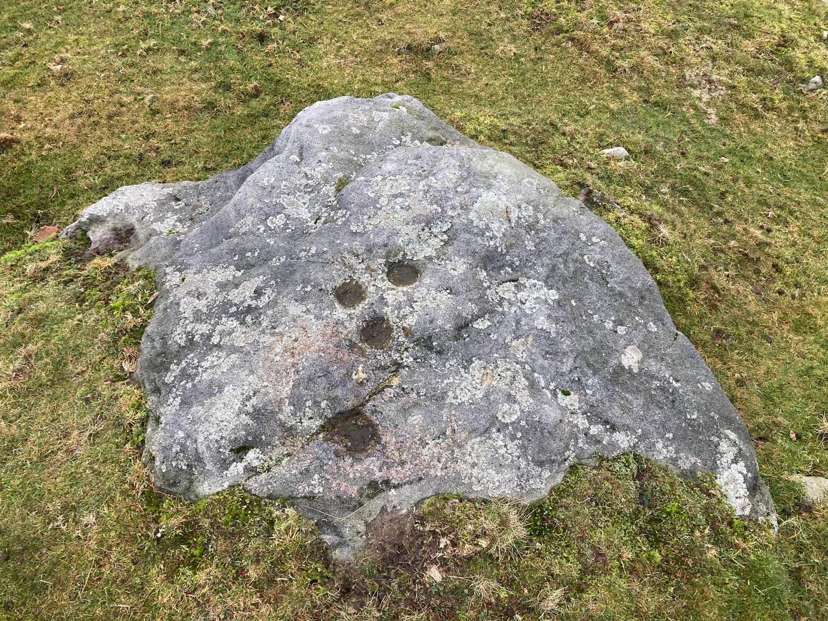
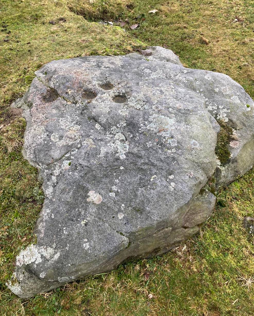
This is one of a number of cup-marked stones that you’ll find scattering this part of the moor, almost all of which are Nature’s handiwork (a few of these natural carvings have somehow found their way into Keith Boughey’s [2018] updated West Riding rock art book). I’m not 110% certain that this doesn’t have Nature’s name on it either, but it’s got a greater degree of probability to it than some of the others. It’s a simple little thing, as y’ can see, consisting of just the two cup-marks, smaller than usual, living next to each other. If it’s the real deal, we can surmise that it may have been carved by a young person back-in-the-days. In the walling just above this stone you can see the medieval boundary stone, which might—just might—have a prehistoric pedigree to it….
References:
- Boughey, Keith & Vickerman, E.A., Prehistoric Rock Art of the West Riding Supplement, 2018.
© Paul Bennett, The Northern Antiquarian