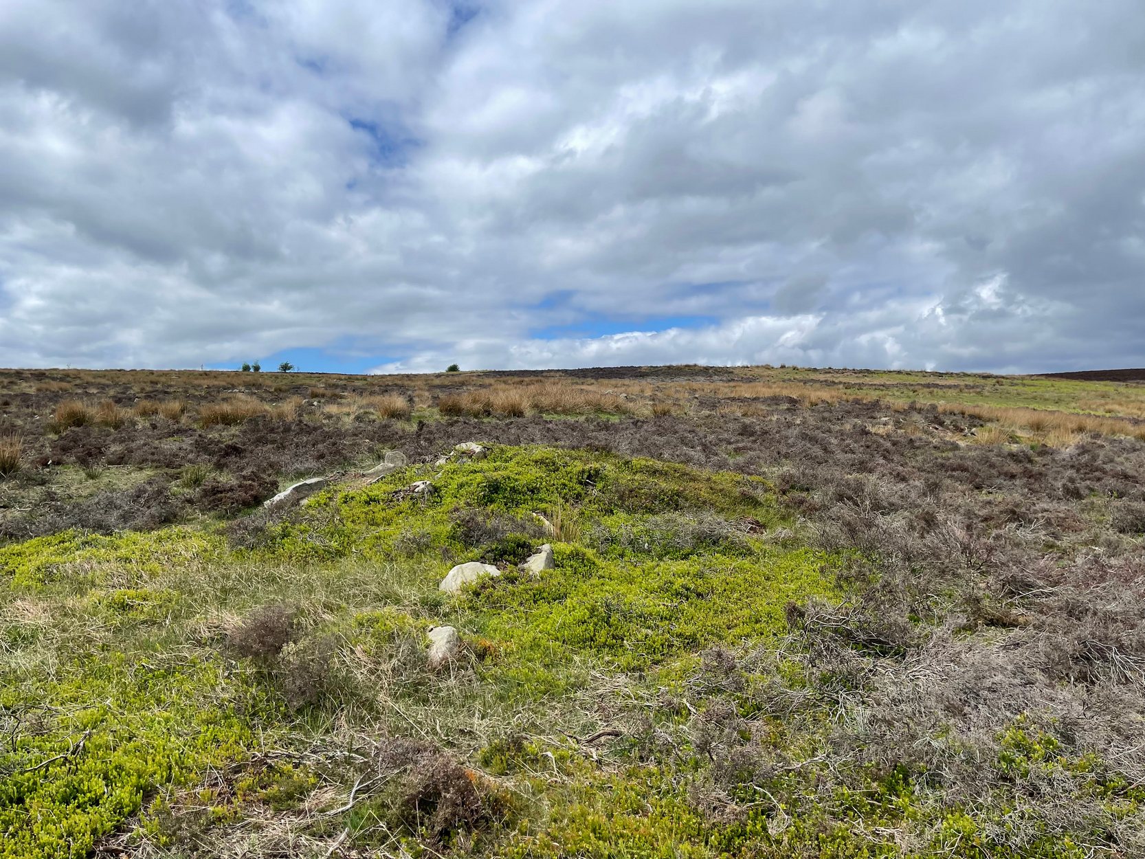
Cup-Marked Stone (lost): OS Grid Reference – NU 2299 2989
Archaeology & History
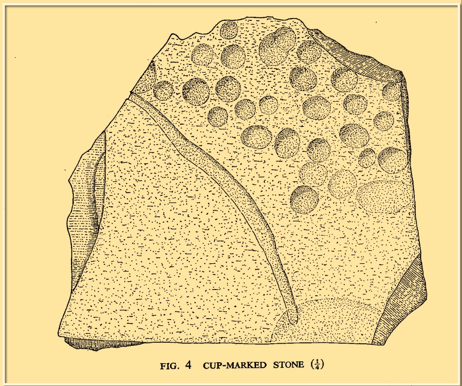
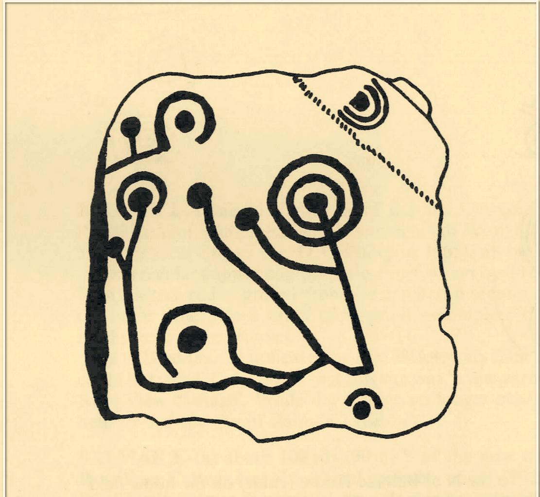
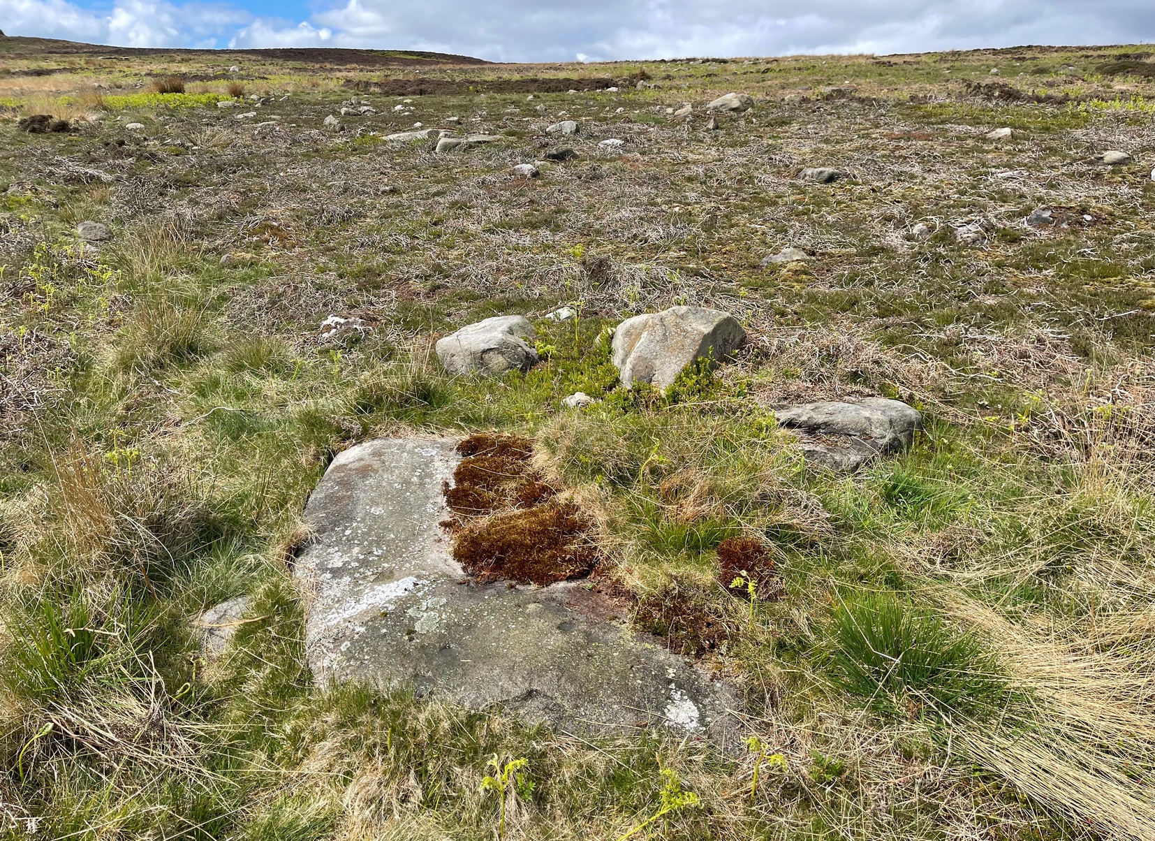
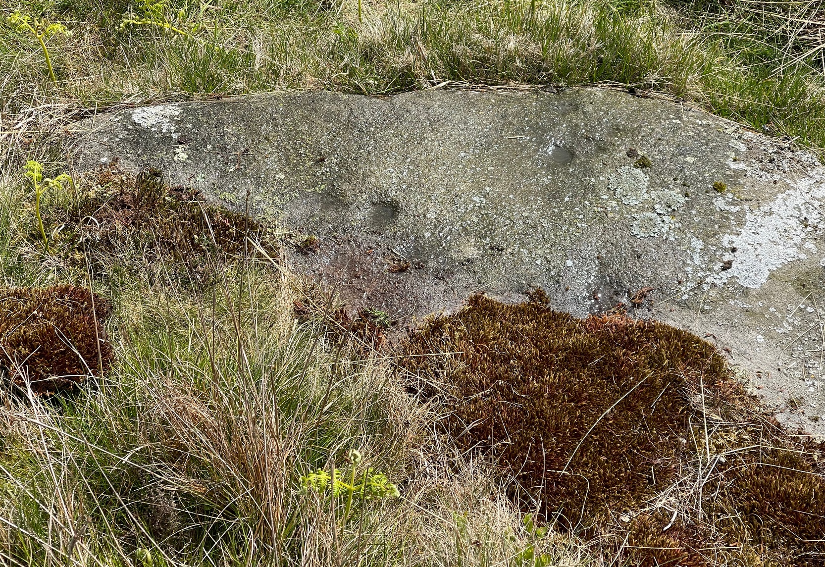
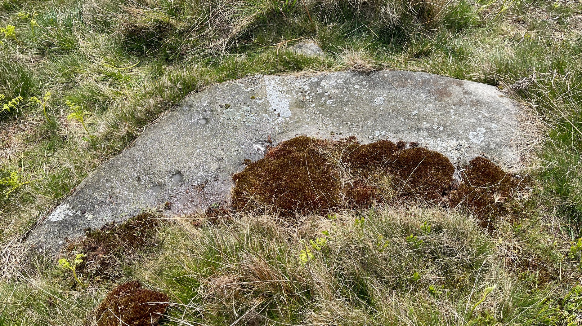
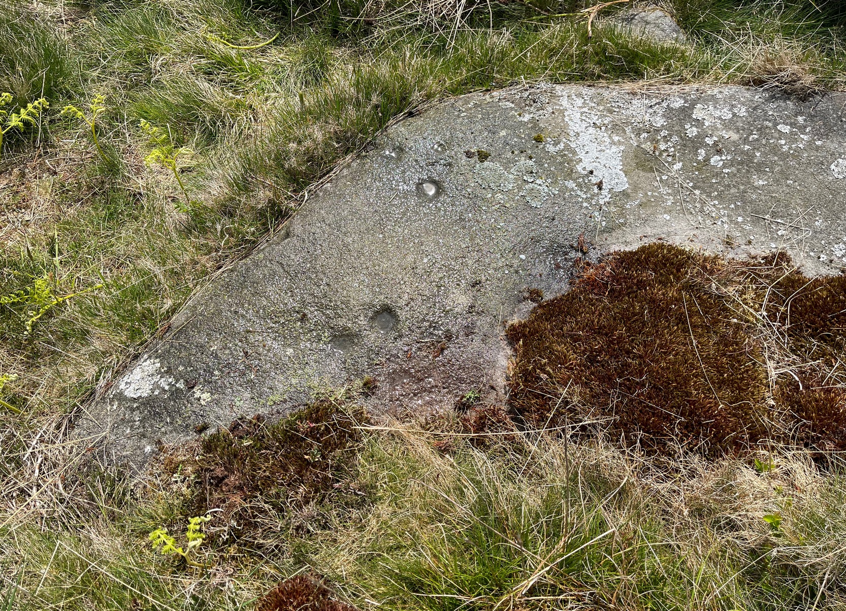
When the Beadnell Caravan Park was being constructed in 1970, in cutting into the Earth the workmen destroyed a couple of prehistoric tombs—but not before one of them (the northernmost one of the two) was thankfully excavated. It was looked at by John Tait (1971), who described the covering cairn as measuring “nineteen feet in diameter and four feet high”. Beneath it, within a cist that had been modified at two very different periods in time, were a large number of human remains that had been deposited over equally extended periods, suggesting it was a place of considerable importance to either one family lineage or the tribal lineage (unless it was just a dumping spot for any old Tom, Dick and Harry!). Outside of the cist itself, but within the rocky mass of the cairn, this cup-marked stone was found (illustrated). It had already been moved by the workmen before Tait came to excavate it, so he was unable to ascertain its precise position in the tomb. Carved into a piece of sandstone were a number of odd-sized cup-marks, smaller than usual. Tait wrote:
“It measures 38cm by 36cm and bears 29 small cup-marks and one slightly sinuous duct leading into what may be part of an earlier and larger cup. It also seems probable that additional cups were added in antiquity, since some are distinctly more shallow than others and, in one instance, two cups impinge upon one another. The stone had been broken in antiquity and may have come from a larger inscribed slab, as is perhaps the case with some other “portable” stones of burials or cairns and other monuments of the second this nature.”
It is thought that the carving was laid back in the ground whence it was found.
References:
- Beckensall, Stan, Prehistoric Rock Motifs of Northumberland – volume 1, Abbey Press: Hexham 1991.
- Beckensall, Stan, Prehistoric Rock Art in Northumberland, Tempus: Stroud 2001.
- Tait, J. & Jobey,G., “Romano-British burials at Beadnell, Northumberland,” in Archaeologia Aeliana (4th series), volume 49, 1971.
© Paul Bennett, The Northern Antiquarian