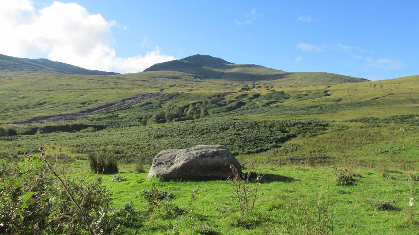
Sacred Stone: OS Grid Reference – NN 56432 32010
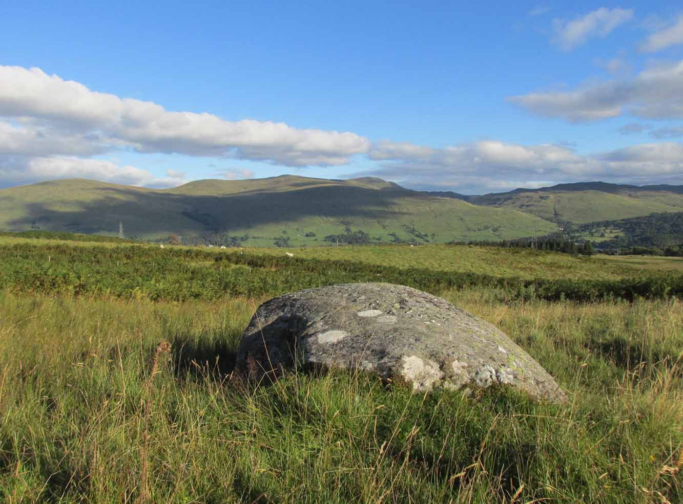
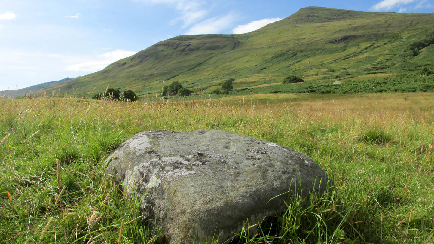
Take the road to Auchlyne from Killin which follows the north side of the River Dochart, and on the edge of the village the stone will be seen on the left hand side behind a hedge, opposite the entrance to ‘Springburn’.
Archaeology & History
The chair is mentioned in Rev. Gillies’ exemplary work, In Famed Breadalbane (1938):
‘St. Fillan would appear to have had a great liking for stone seats. Besides the one already mentioned…there is..a..flat stone on the top of a knoll about a mile to the west of the village, and on the north side of the river, on which he is said to have sat and taught‘
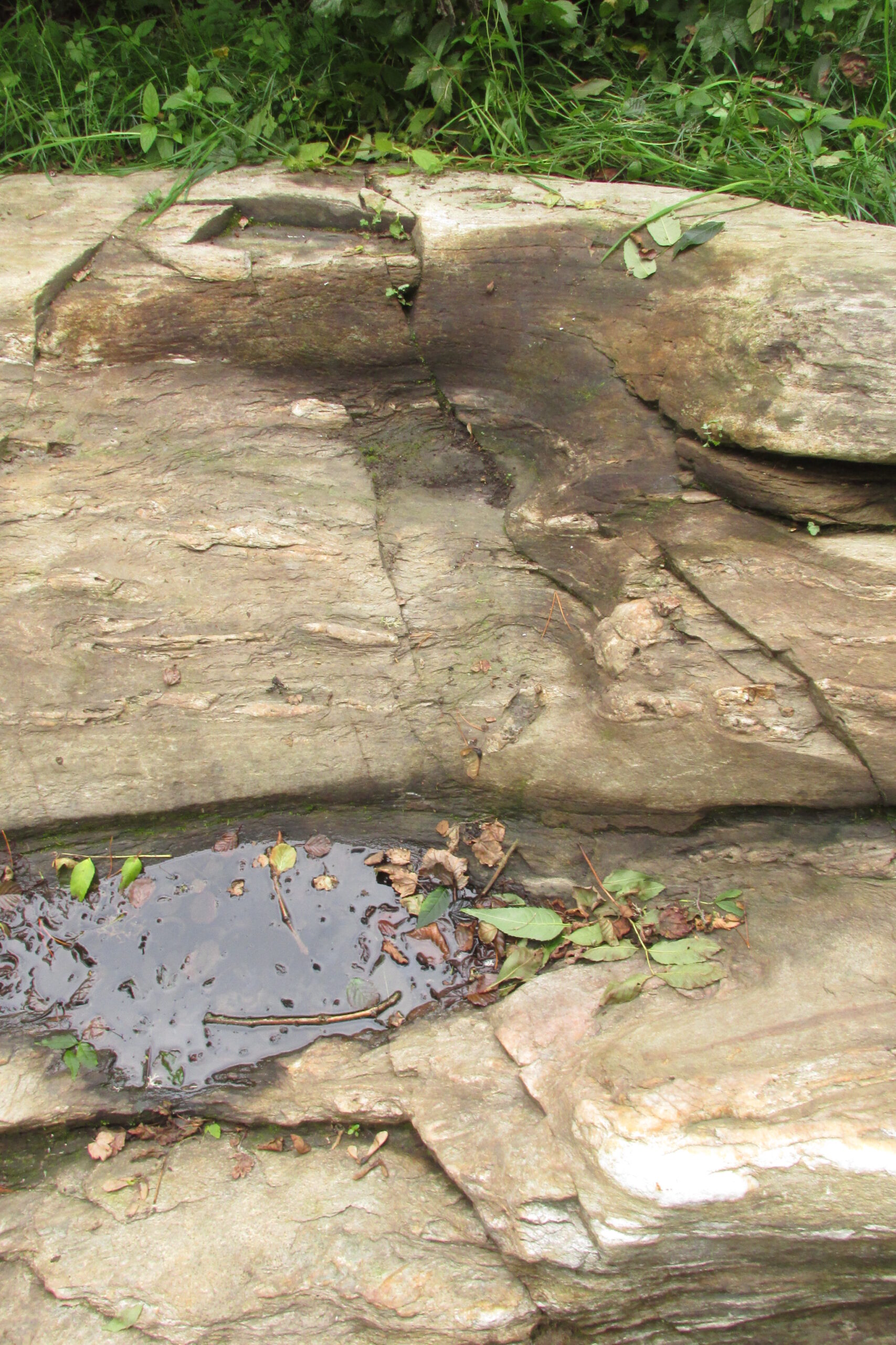
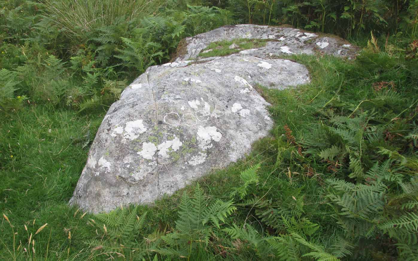
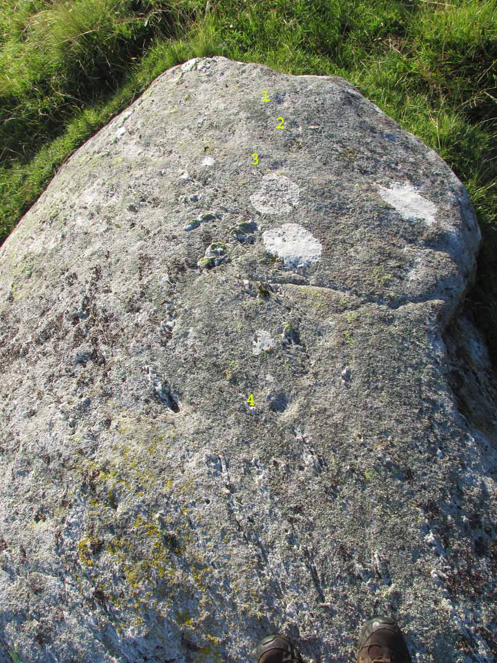
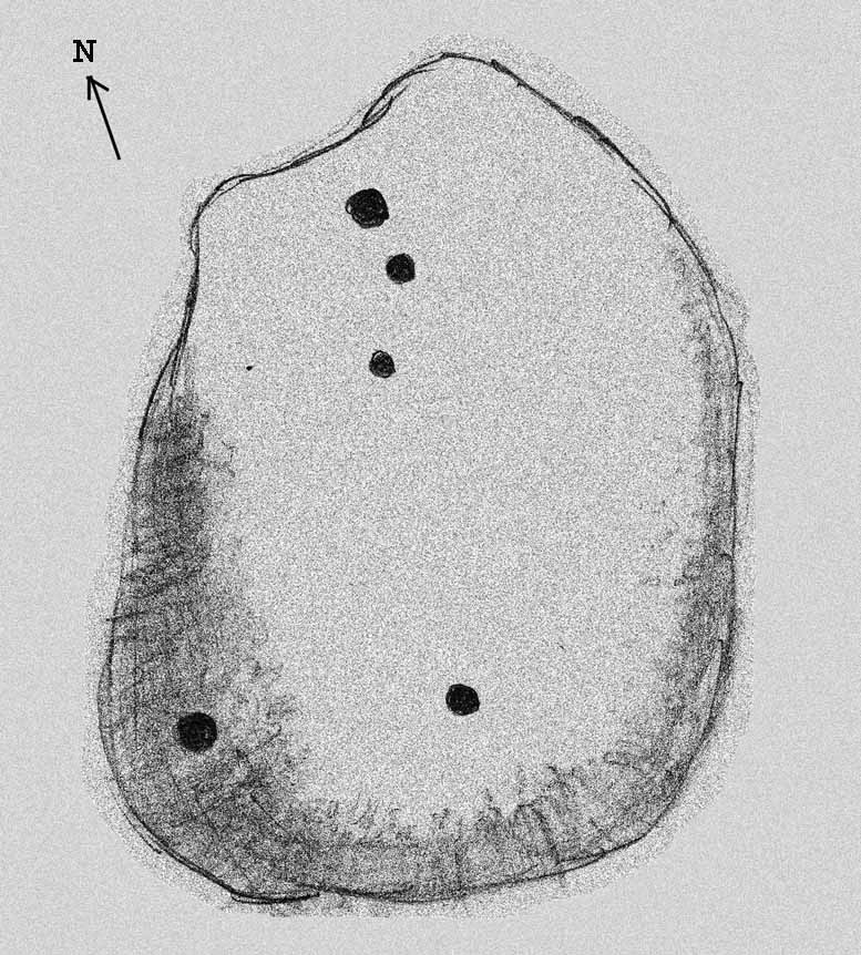
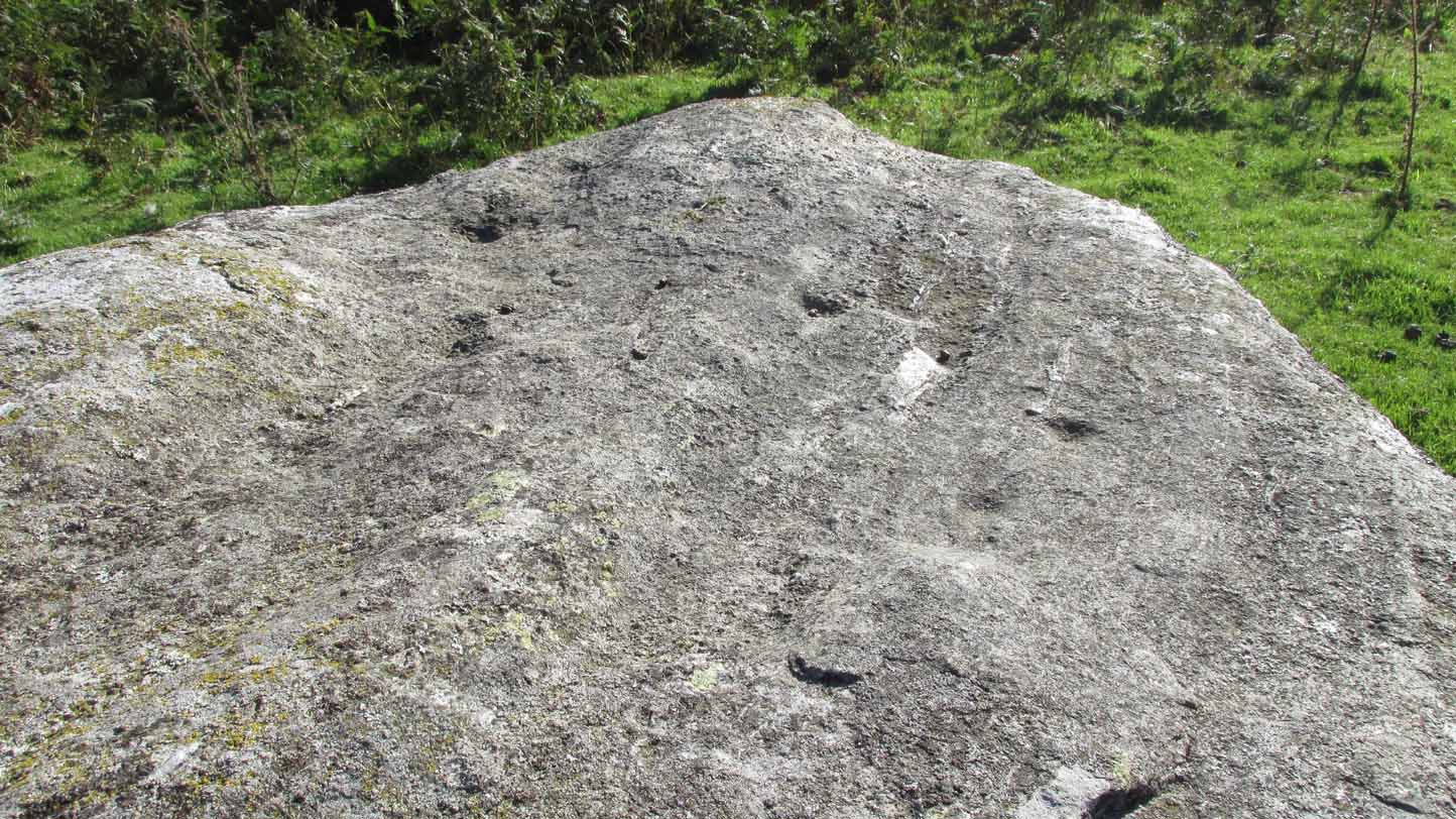
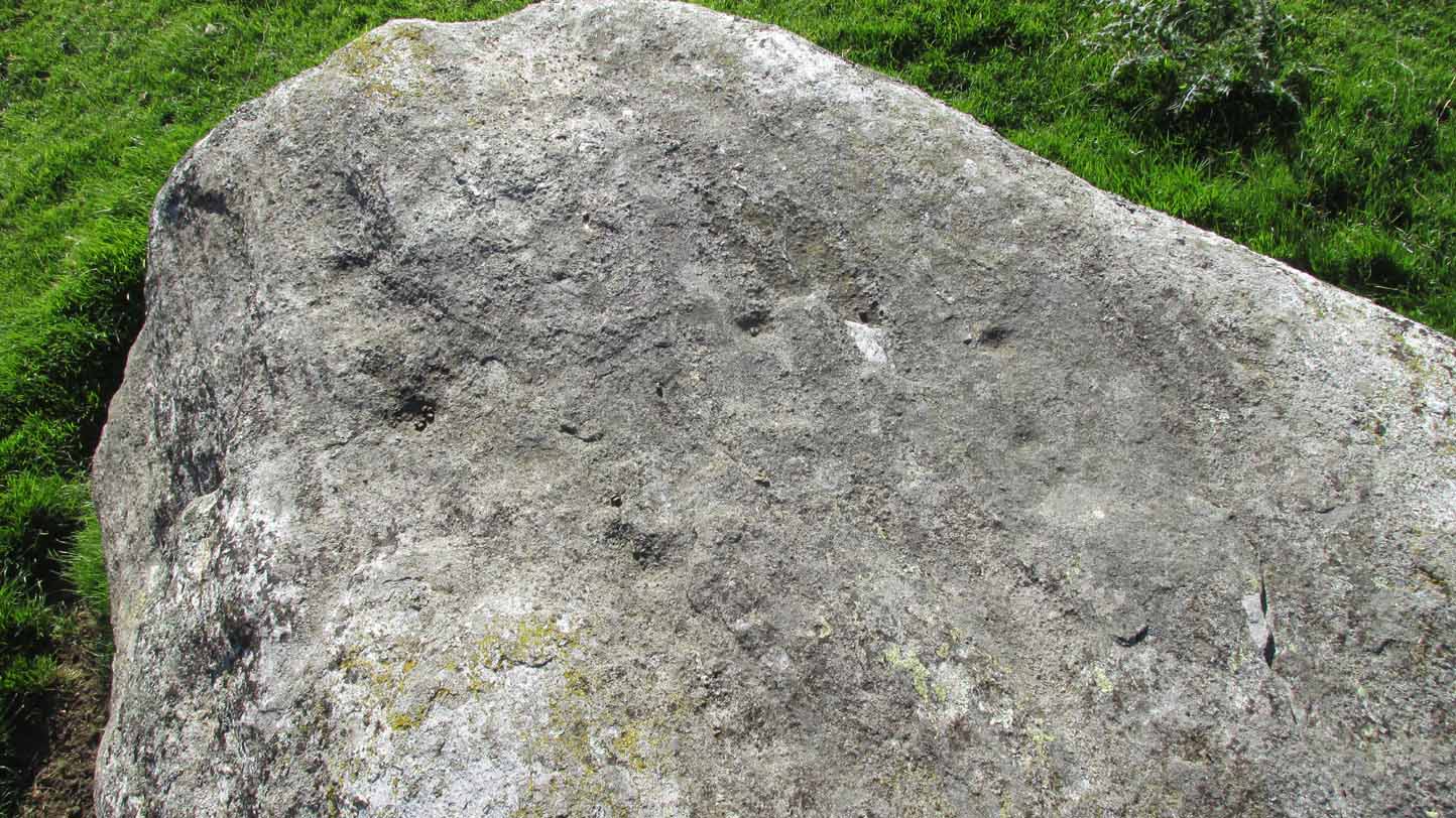
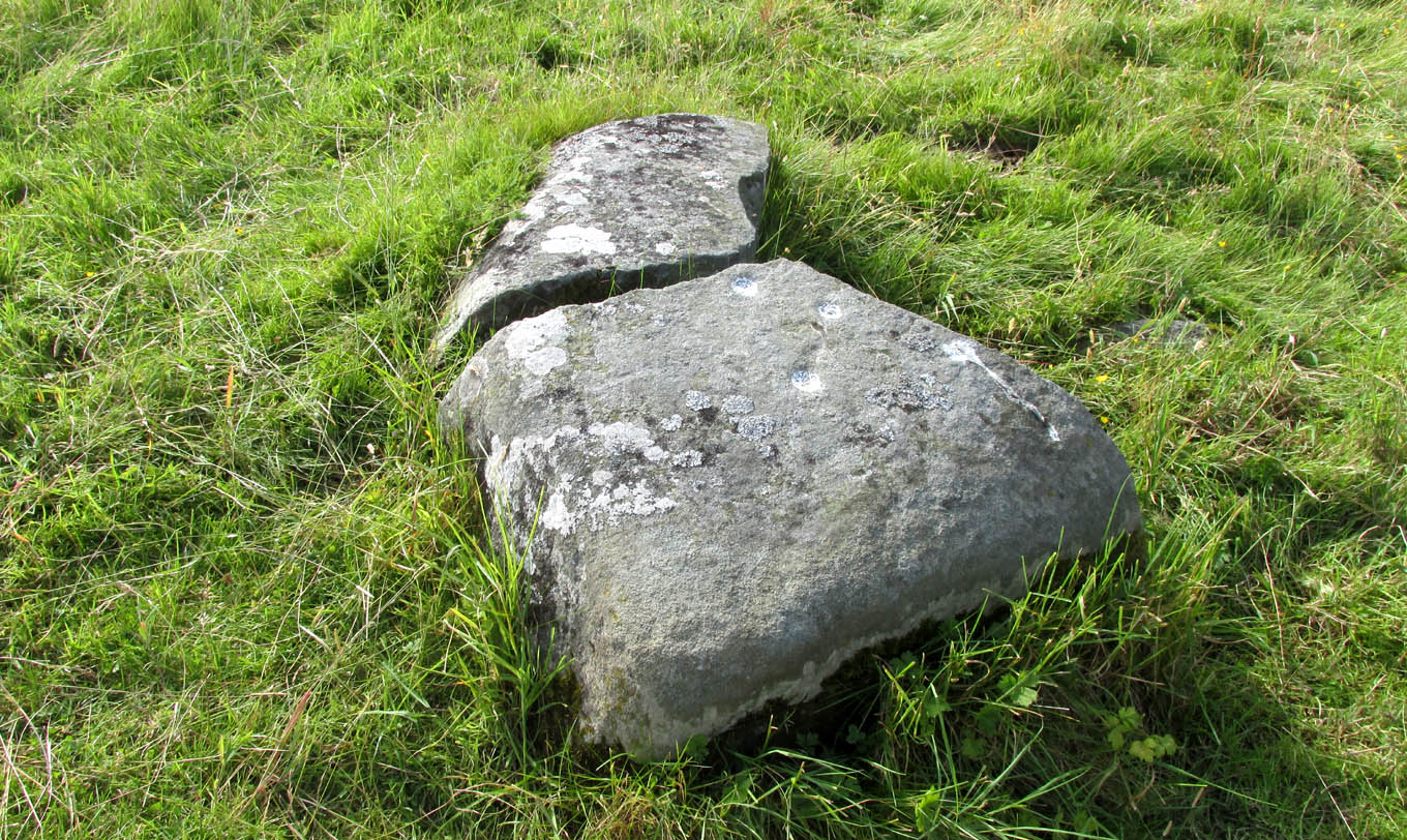
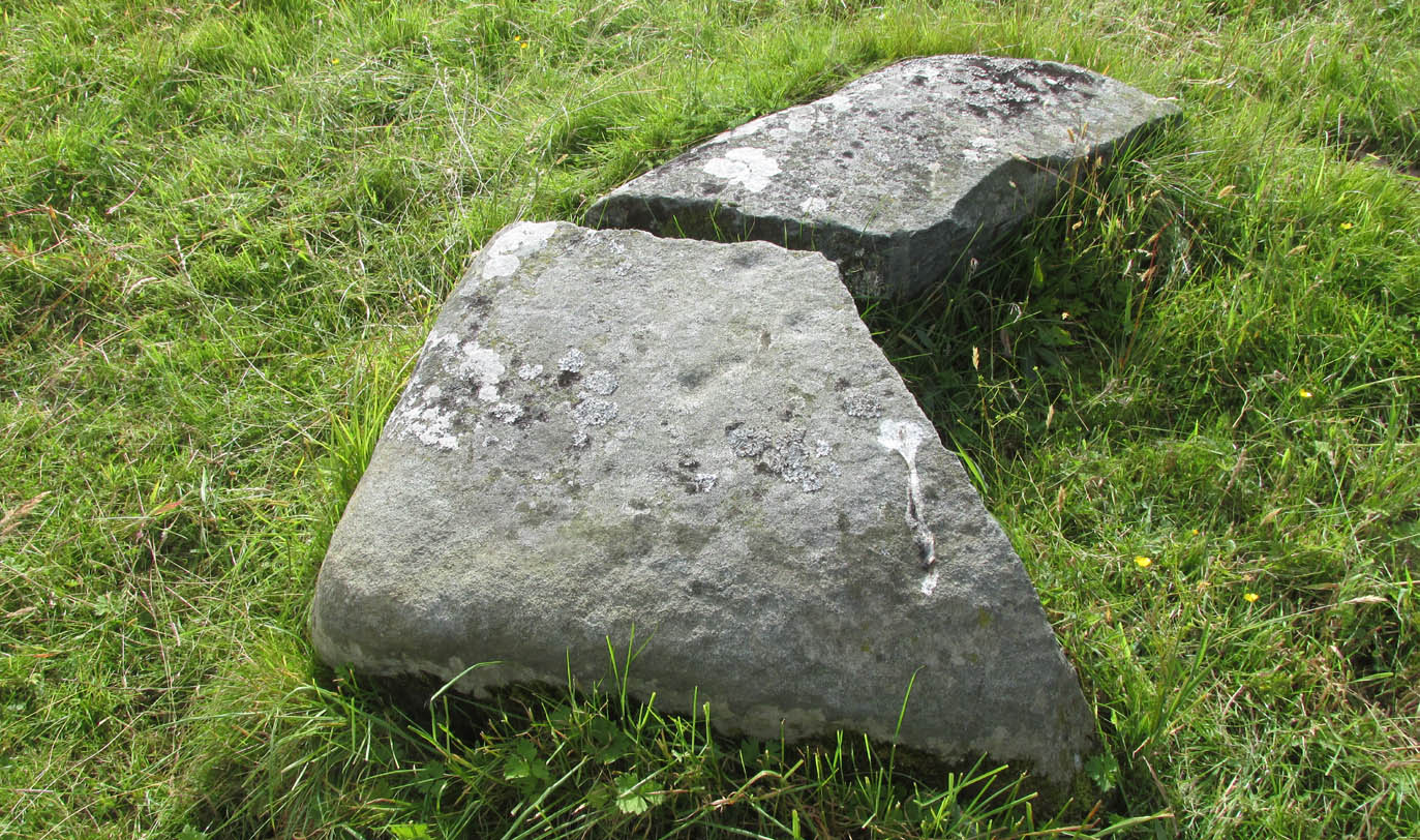
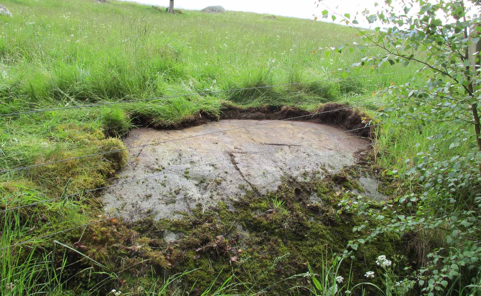
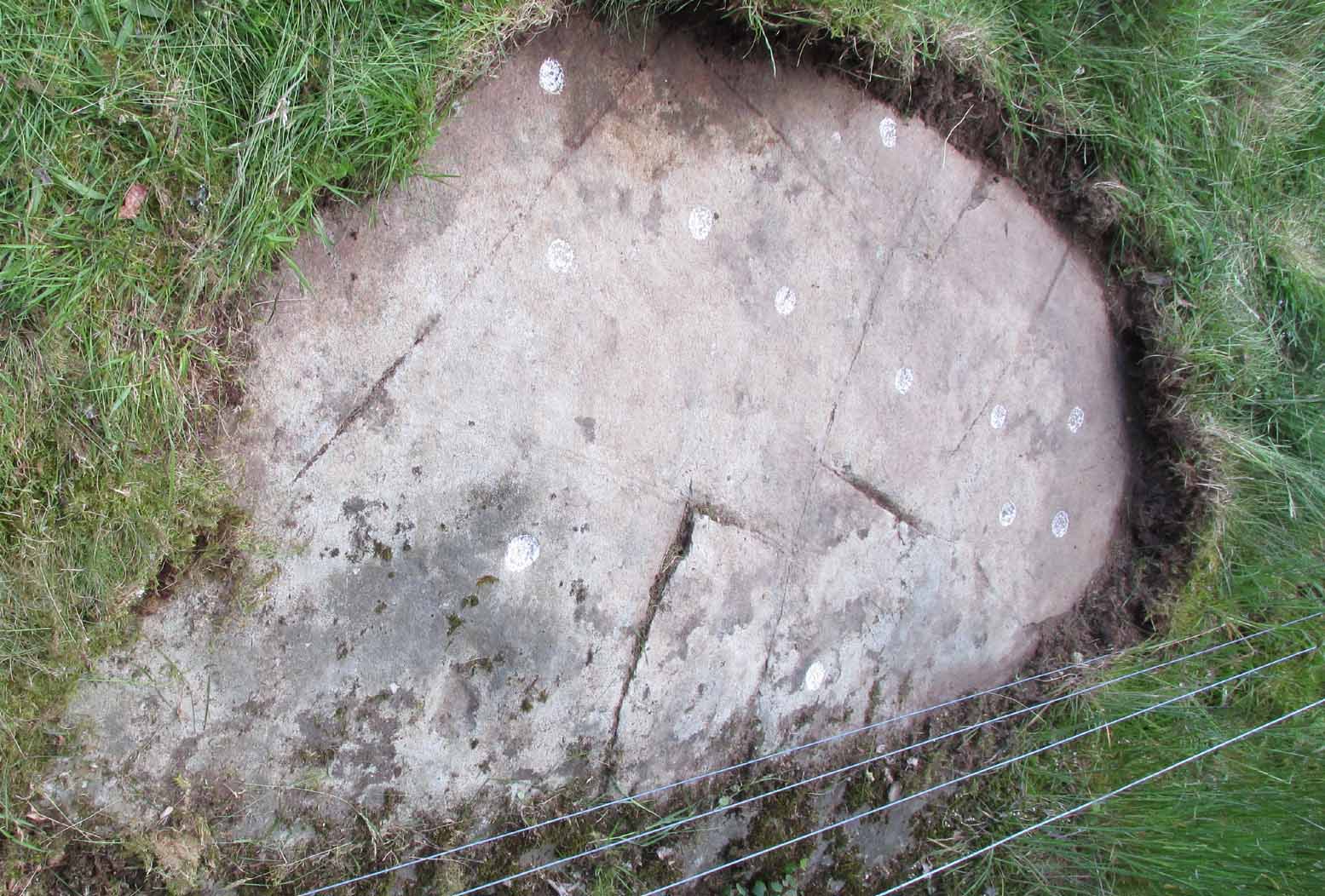
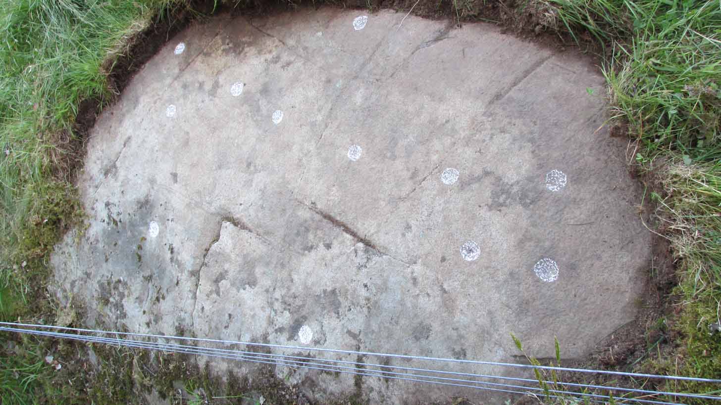
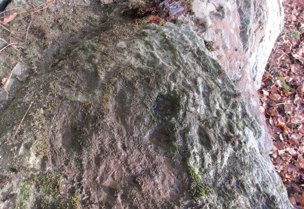
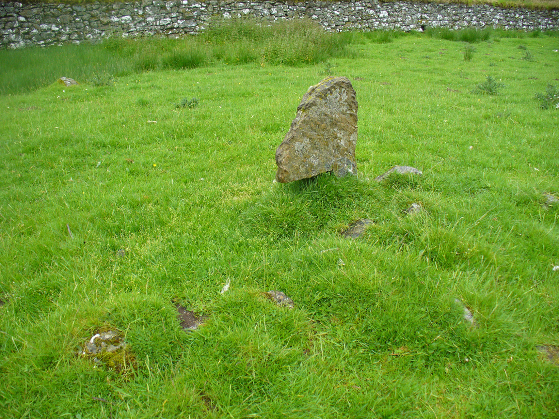
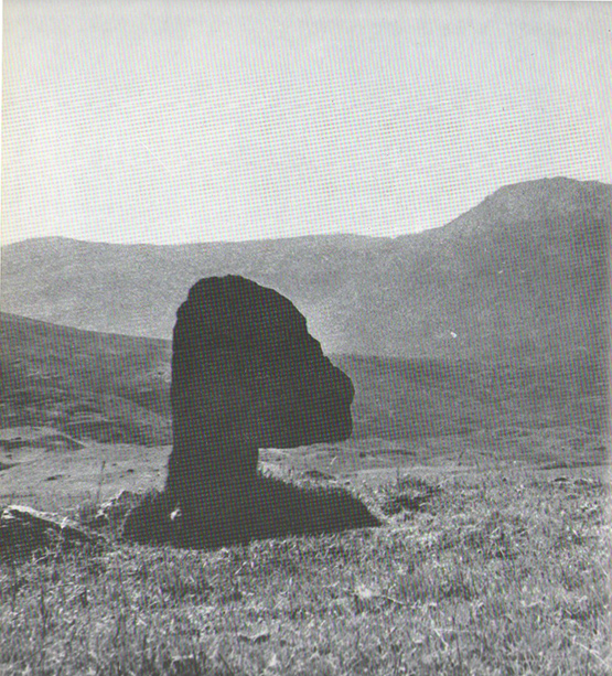
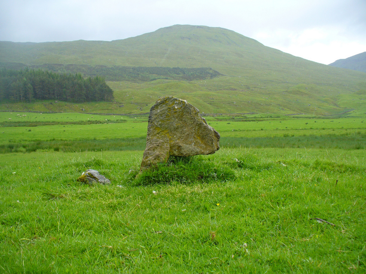
Two local ladies told us that the Chair had recently been uncovered from the vegetation. It is a flattish earth-fast slab of rock, which has on the right hand side a seat indentation, which faces the river bank about 12 feet away. Its proximity to the river bank would seem to limit its use as a preaching pulpit, and yet, well over a millennium after the death of Fillan, his ‘Chair’ is still remembered. Did the Chair serve another purpose, a purpose that long preceded Fillan and Christianity?
Here at Killin we are in an area of Scotland where Christianity was for long a veil worn very lightly over long-held ancient animistic beliefs and customs. Indeed in the early nineteenth century, missionaries were sent in the face of considerable local opposition by the Haldanes into Gaelic speaking Breadalbane to try to convert the locals to Christianity.
St Fillan and other saints had it seems become the named facilitators for healing at ancient places on behalf of the incoming religion from the Middle East. To the west of Killin, there are the St Fillan’s Pools at Auchtertyre near Tyndrum, where he is reputed to have cured madness but which continued to be used for that purpose until the late eighteenth century at least. There are stones for preventing measles and whooping cough near Killin that are still known and pointed out. So what of our chair?
There is a nineteenth century story of a chair of St Fiacre (Irish born like Fillan) at the village church of St Fiacre near Monceaux in France being used to ‘confer fecundity upon women who sit upon it ‘. The shape and proximity to the river may otherwise suggest St Fillan’s Chair was a birthing Chair? Maybe some very old locals still know the true story of this Chair, but would they tell it?
References:
- Anon., Phallic Worship – a Description of the Mysteries of the Sex Worship of the Ancients, privately Printed: London 1880.
- Calder, Walter, Lawers, Lochtayside: A Historical Sketch, Macduff, Cunning & Watson, c.1930.
- Gillies, William, In Famed Breadalbane, Munro: Perth 1938.
© Paul T Hornby 2020