Wayside Cross (base): OS Grid Reference – SD 70039 53609
Also Known as :
- Historic England ID 1163860
- Pastscape ID 44742
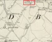
Take the Town End Road out of Slaidburn, and turn right along Wood House Lane at the Gold Hill junction, continue past the entrance to Myttons Farm on the right, and the cross base will be seen on the right next to the gateway just before the sharp left hand bend.
Archaeology & History
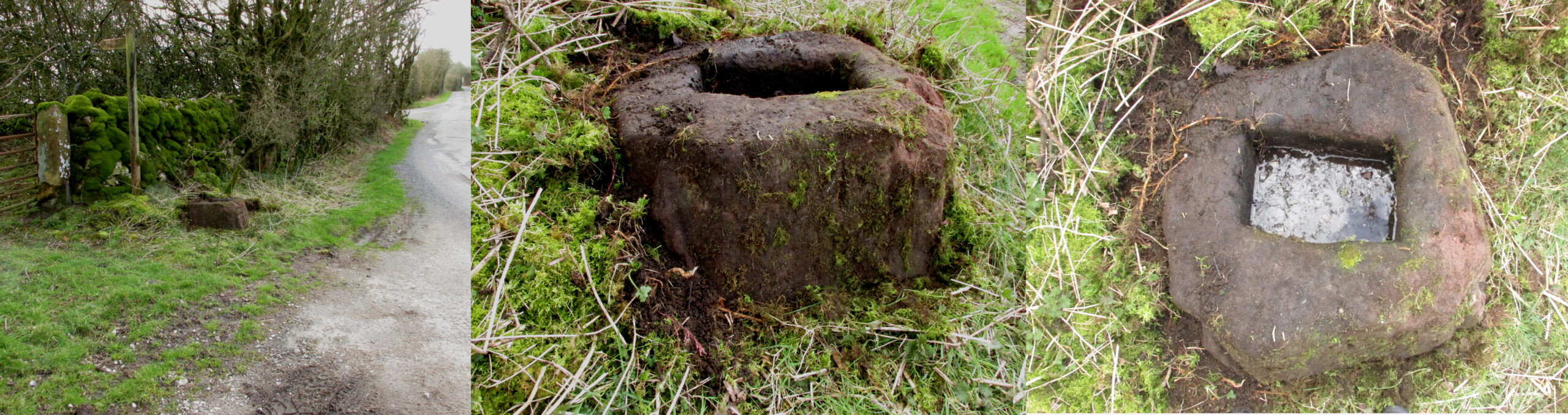
Only the socketed red sandstone base of this mediaeval wayside cross survives. It is unusual in that it has carved decorative fluted corners. It has an OS bench mark carved on its north face and has suffered recent damage to one of the corners, probably from a grass cutter. It is beside the old salt road over Salter Fell from Bowland into Lancashire and the Lune Valley.
There is one surviving complete cross and a cross base at the other end of the salt road, south of Hornby. Wood House Lane was known as Cross Lane when the 1850 6″ OS map was printed. It is a Grade II listed building and is described in the citation as:
“Base of cross, probably medieval, sandstone. Of irregular shape with a rectangular socket in the top.”
Folklore
The farmer of the adjoining land told me that a local elder had told him that the smashed remains of the Cross had been built into an adjoining dry stone wall, which, if this is correct, may indicate
destruction of the Cross at a comparatively late date.
Note: the monument is in the historic county of the West Riding of Yorkshire.
© Paul T. Hornby 2020