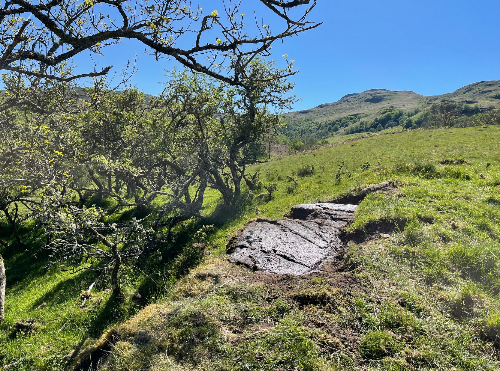
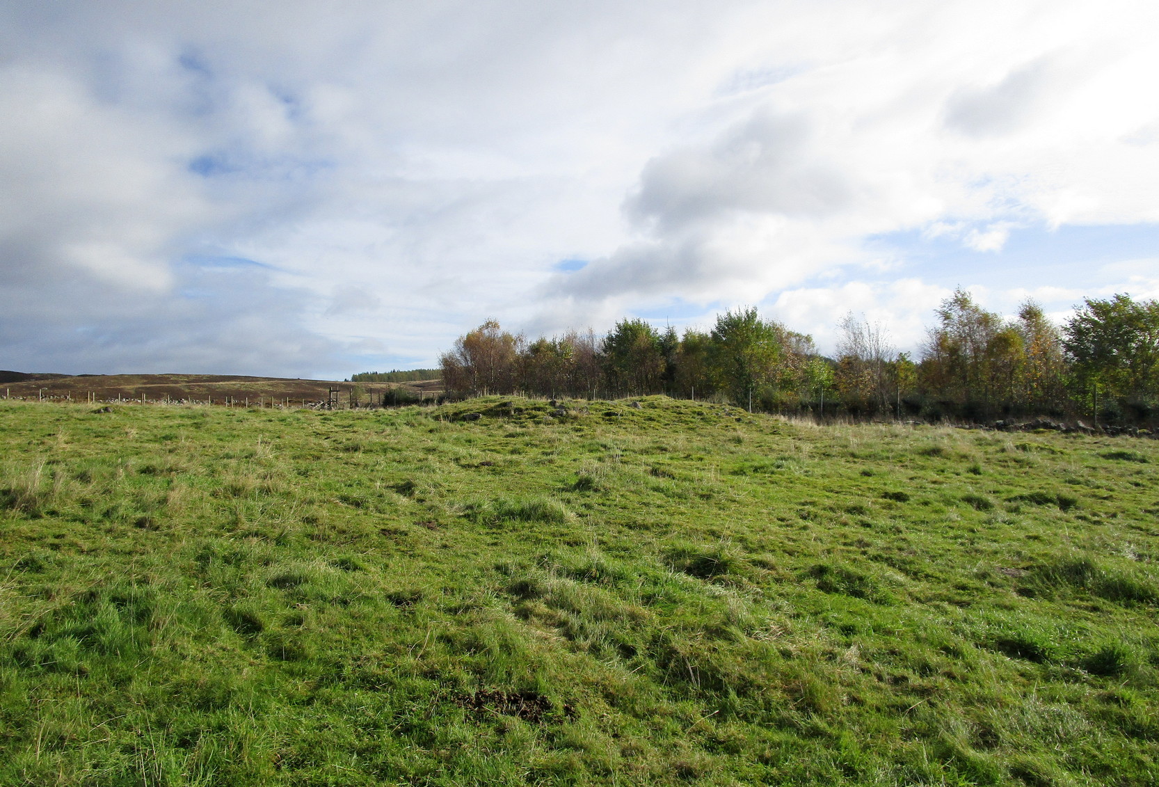
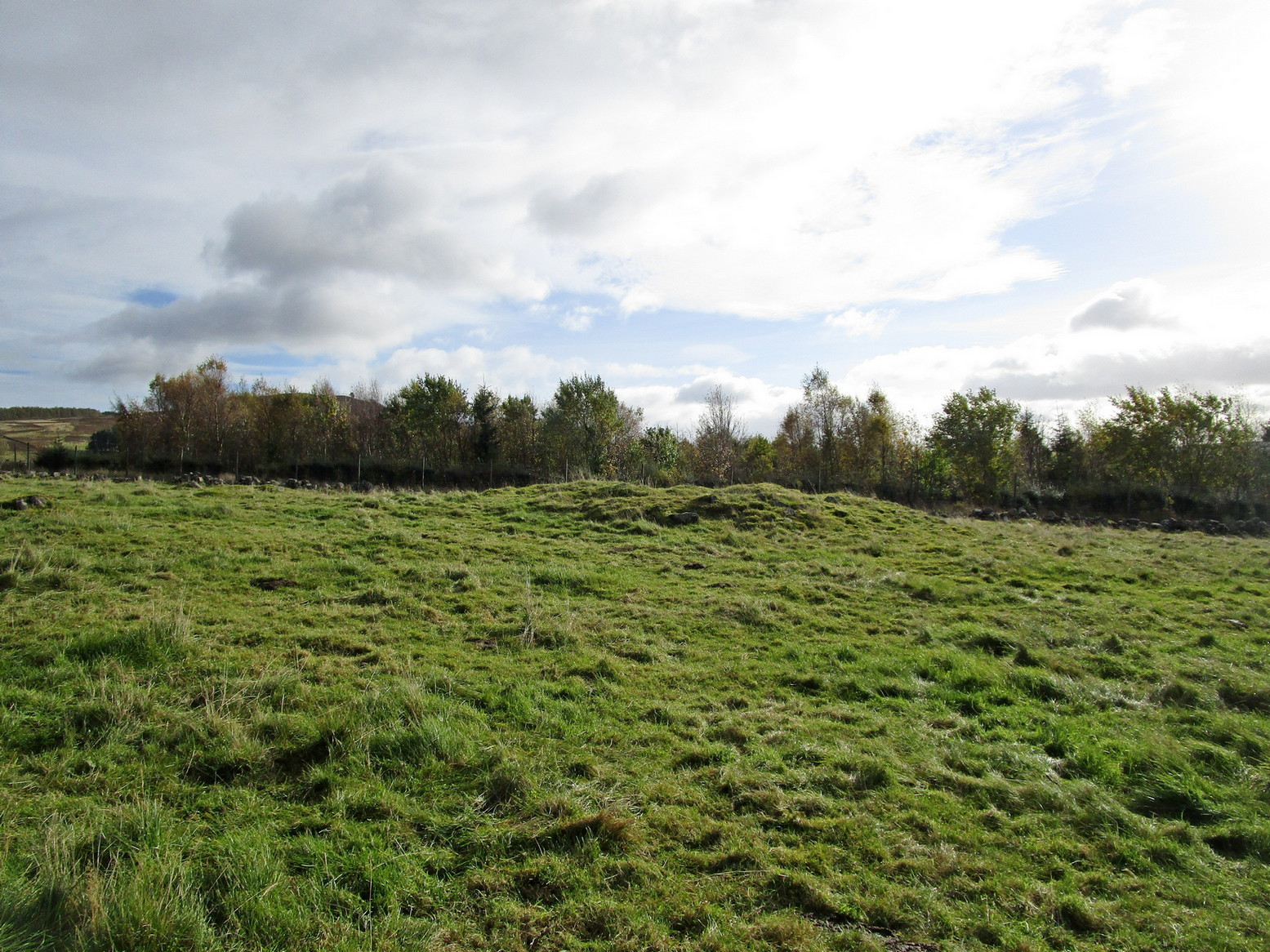
Stone Circle (destroyed): OS Grid Reference – NX 681 450
Archaeology & History
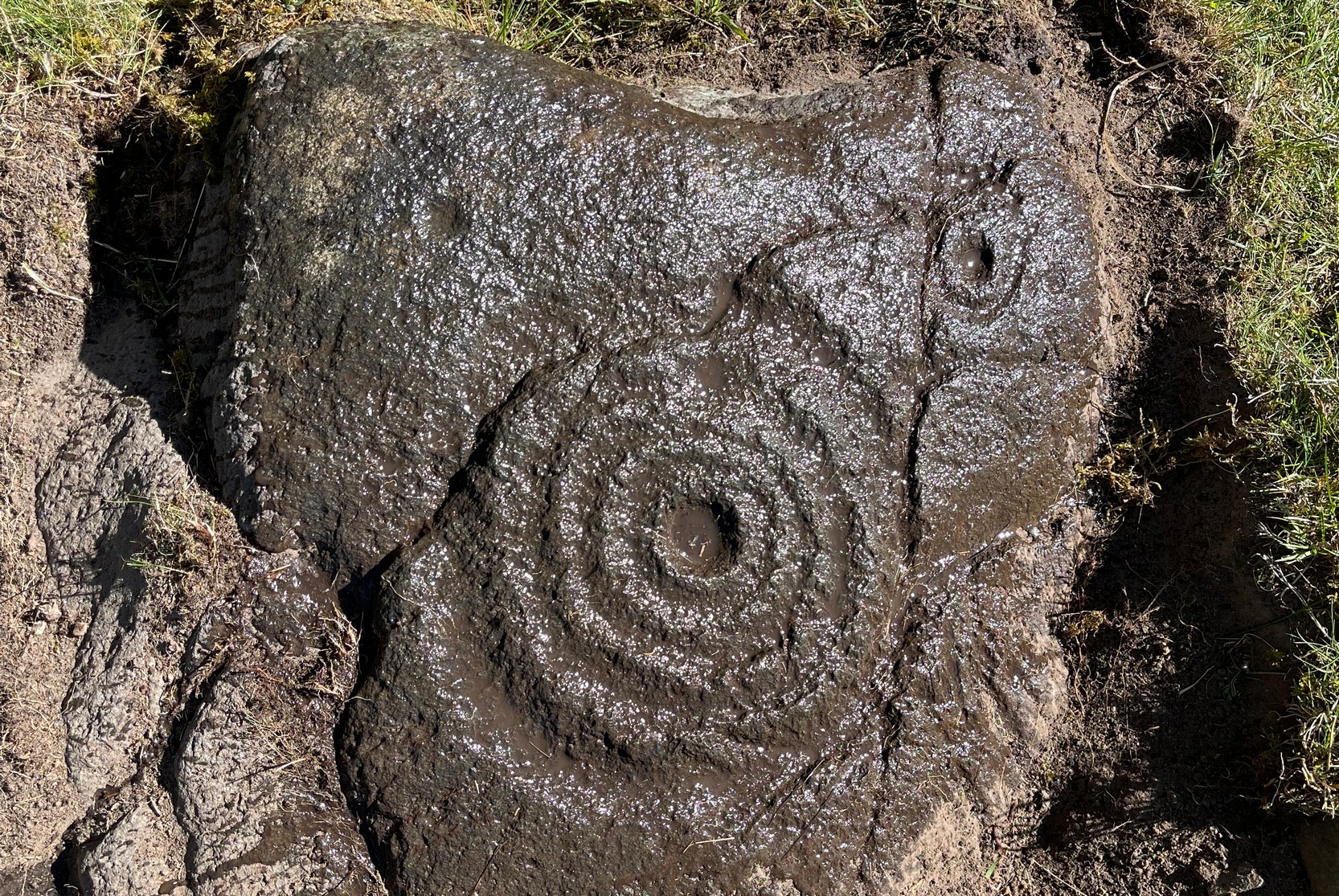
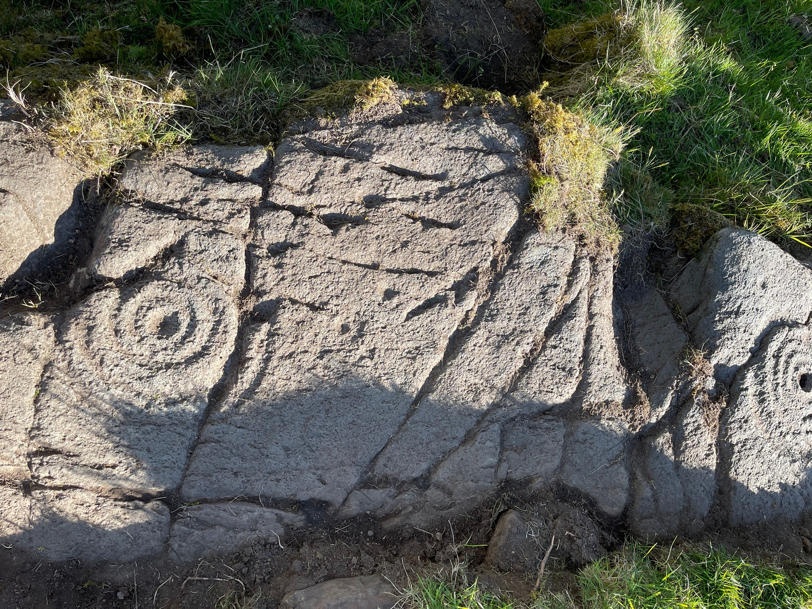
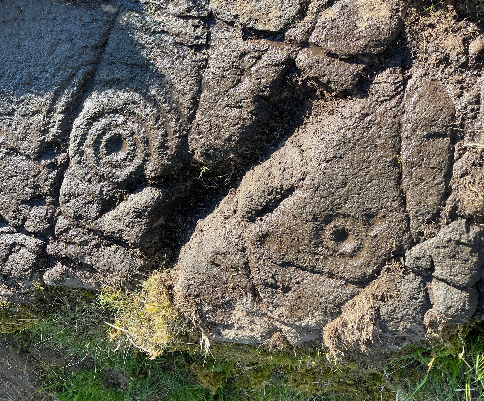
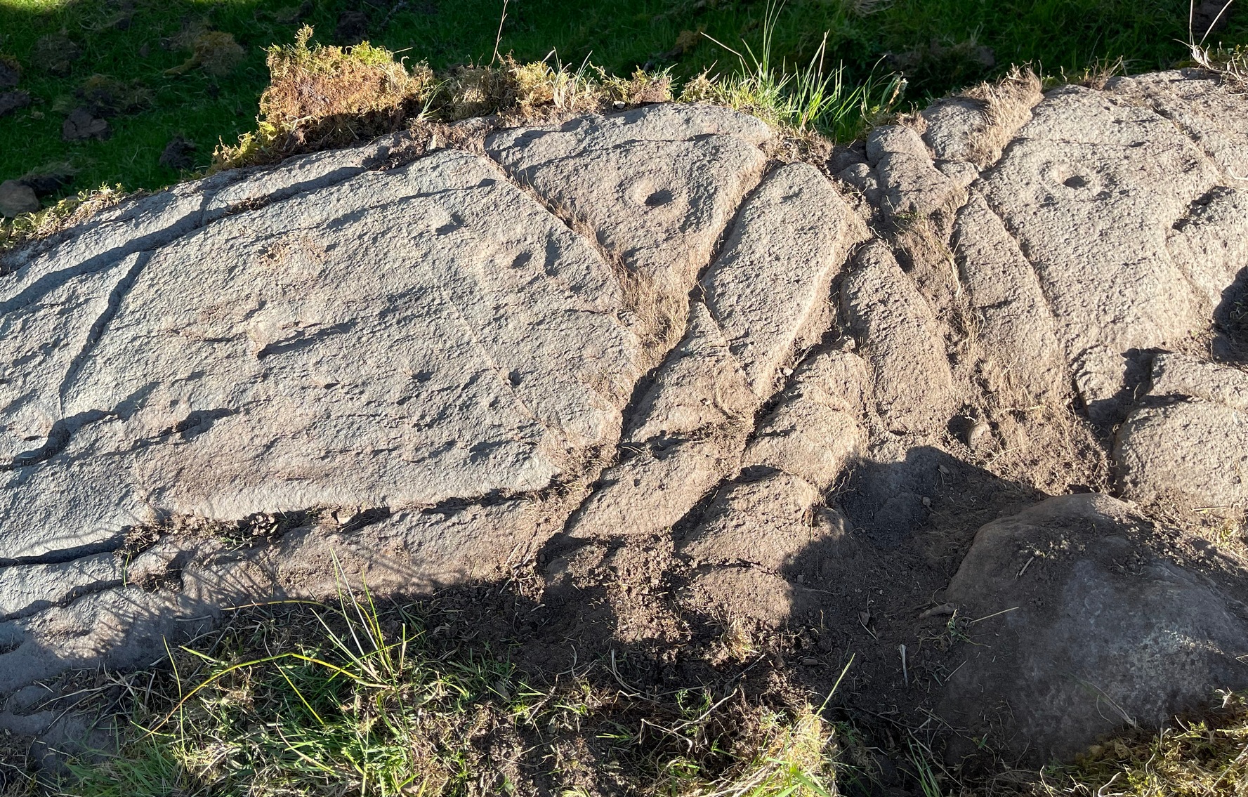
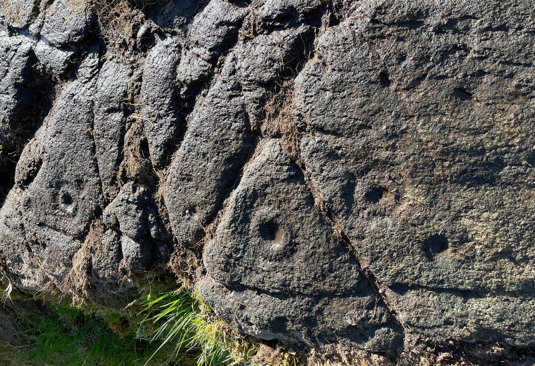
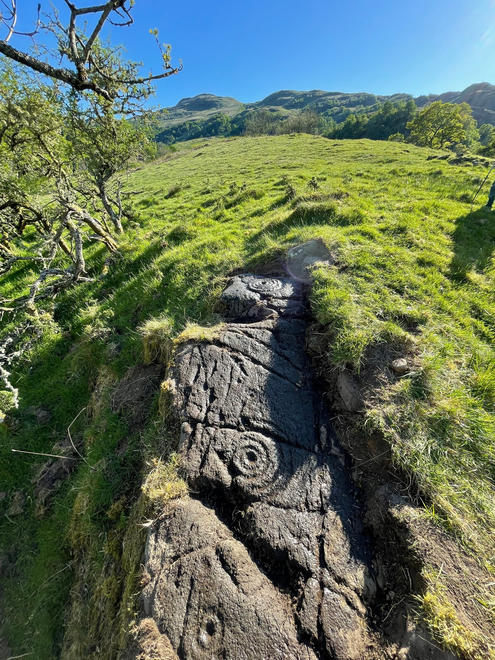
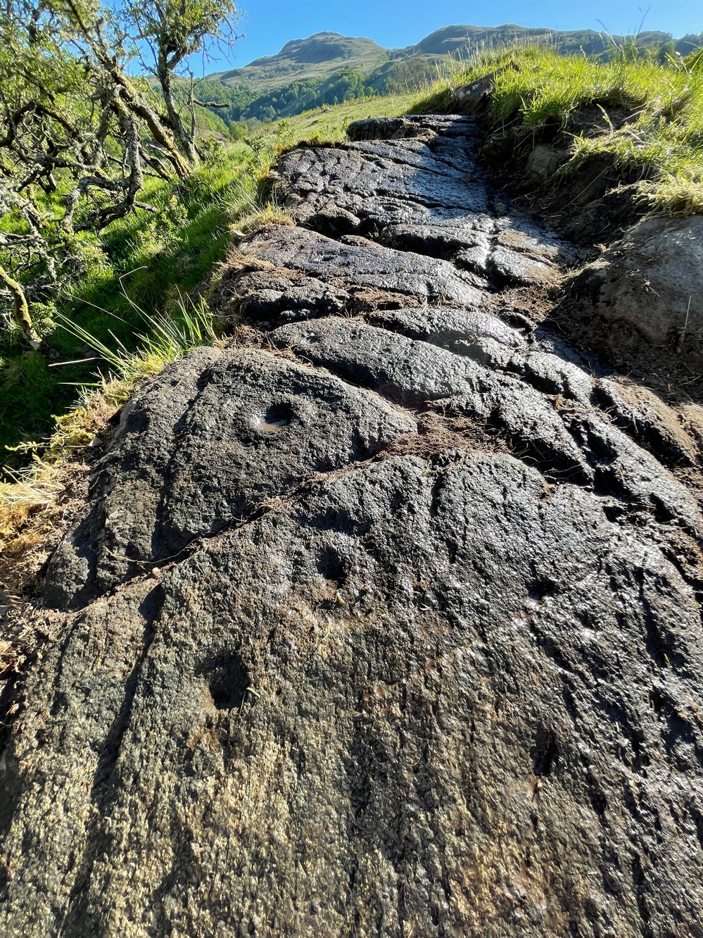
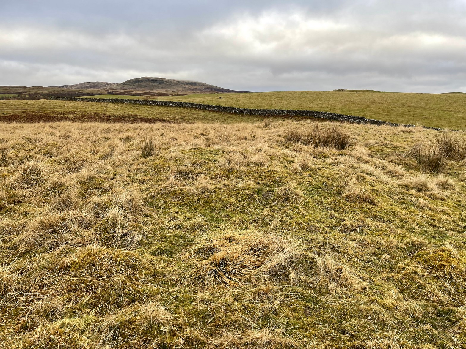
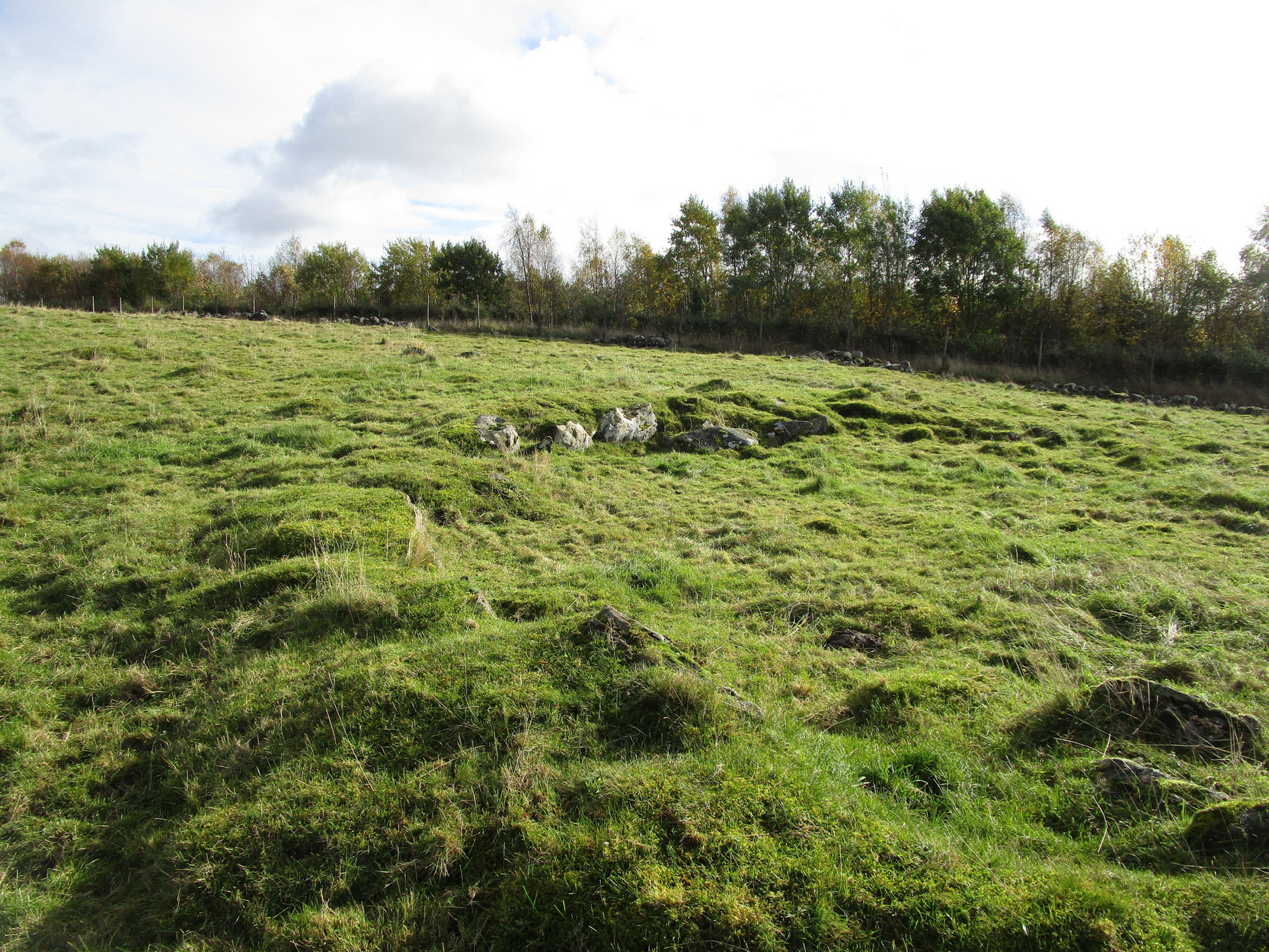
In an area that’s littered with prehistoric rock art, this “stone circle” at Knockshinne—listed in Burl’s (2000) magnum opus—is a debatable entry that was described in one of Fred Coles’ (1895) many articles on such matters. When he came here he told how to the west,
“of Balmae House, and near the base of Knockshinnie, four stones in situ, all, I think, granite, and the sites of six others as distinctly observable…. A massive stone lies outside the circle on the south. Diameter 72 feet.”
Subsequent visits to the same spot by the Royal Commission (1914) gave a somewhat different interpretation to that suggested by Coles. They told us that,
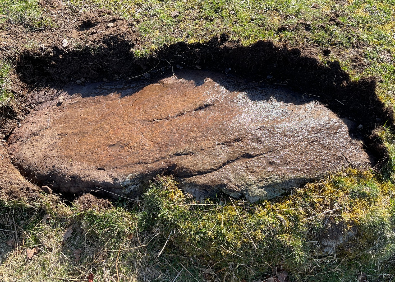
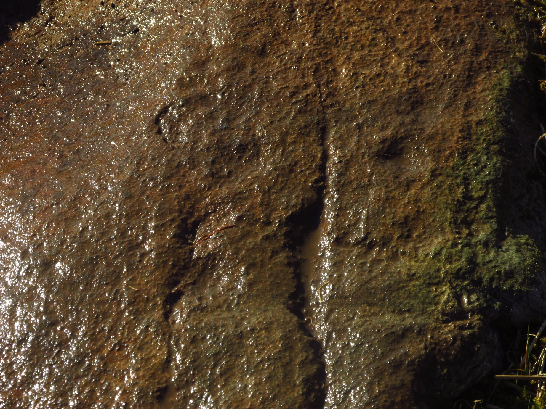
“This setting of stones, noted elsewhere as a stone circle, lies on rough pasture some 100 yards below the road passing to the south-west of Knockshinnie, and about ¼ mile west-north-west of Balmae. It consists of four granite blocks, the highest standing about li feet above ground, placed on an arc with a chord of 76 feet and radius at centre of 21 feet. The stones are placed at irregular distances on a sloping bank, so that the lowest stone is at 8 feet lower elevation than the upper one. Other two displaced boulders and a number of smaller stones lie in a heap to the north-west, and the beds of stones which have been removed from the setting are visible. Though the boulders have been placed in position by man’s hand, it is doubtful if they have ever been part of a stone circle, and from their situation on a slope below a plateau it is probable that they represent the line of an old dyke.”
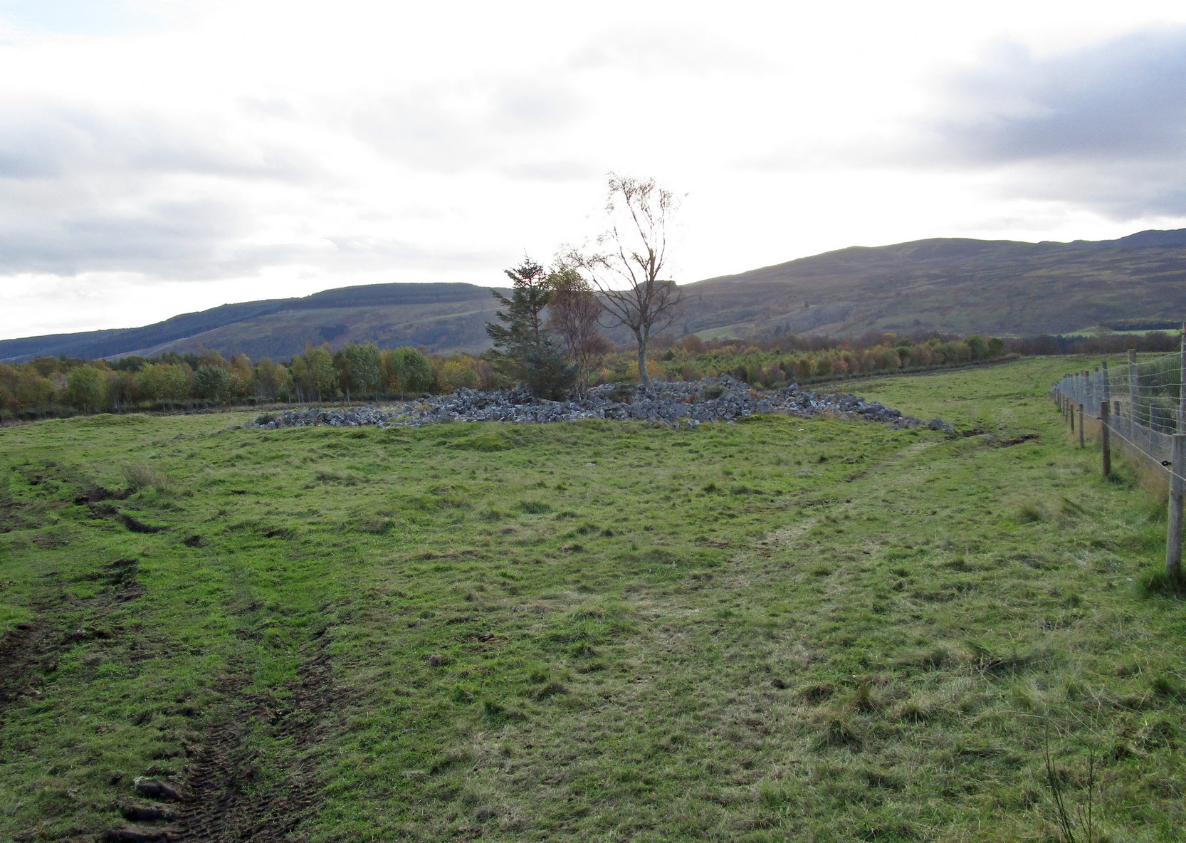
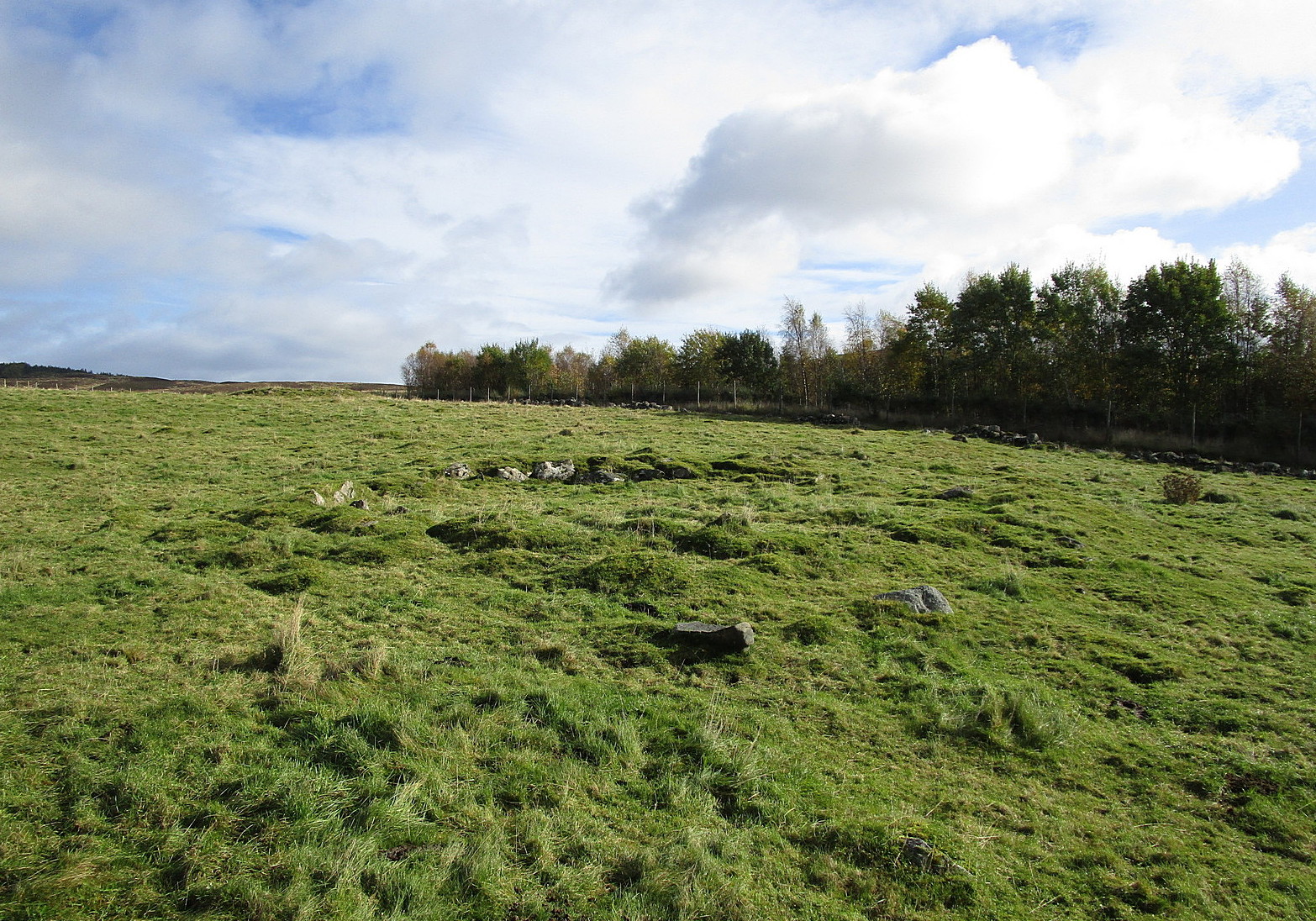
By the 1970s, all that remained here was a line of three stones, but these have subsequently been removed or destroyed. Modern archaeological interpretation goes against Burl (2000) and Coles, suggesting that the stones were more likely part of an ancient dyke.
References:
- Burl, Aubrey, The Stone Circles of Britain, Ireland and Brittany, Yale University Press 2000.
- Coles, Fred, “The stone circles of the Stewartry of Kirkcudbright”, in Proceedings Society Antiquaries, Scotland, volume 29, 1895.
- Royal Commission Ancient & Historical Monuments & Constructions of Scotland, Inventory of Monuments and Constructions in Galloway – volume 2: County of the Stewatry of Kirkcudbrightshire , HMSO: Edinburgh 1914.
Acknowledgements: Huge thanks for use of the Ordnance Survey map in this site profile, reproduced with the kind permission of the National Library of Scotland.
© Paul Bennett, The Northern Antiquarian