From Redmires Road, follow the path on the opposite side of the road from the reservoirs that follows the “conduit”: a man-made dyke marked on the map at SK 2601 8578. You’ll need to follow this for about 1km till you come to a junction with a path crossing a small bridge on your left, and a path to your right onto the moor. You need to take the latter for about 200 metres downhill. The standing stone is roughly 100 metres onto the moor in a NNE direction.
Archaeology and History
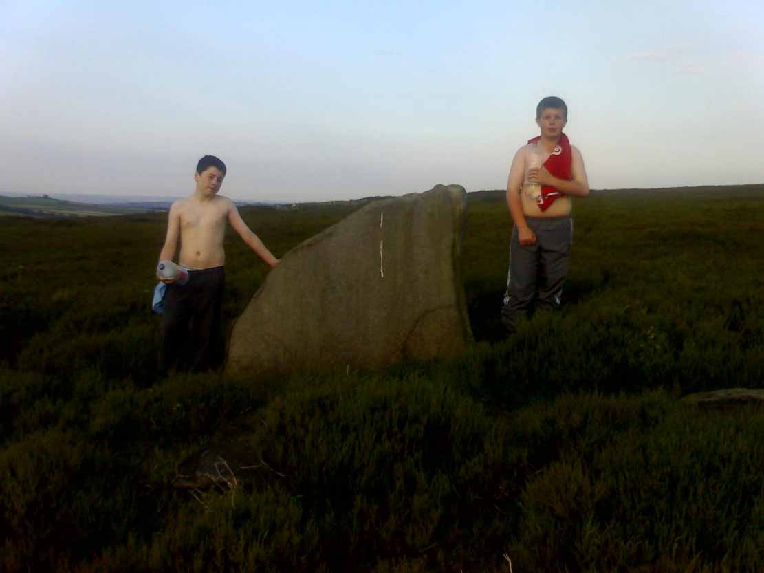
New Hagg, with kids for scale
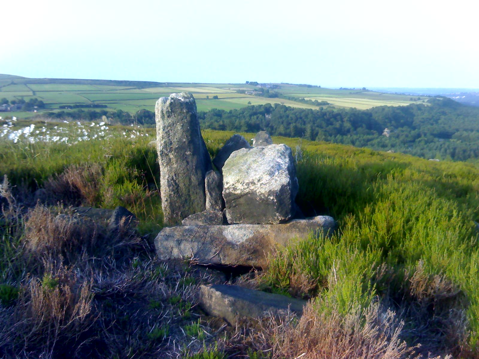
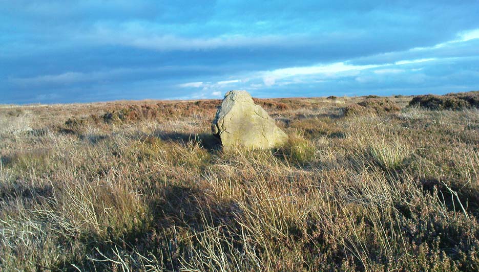
None that I know of! I didn’t know of its existence until I found it whilst wandering the moor one day. Though I can find no record of it anywhere, the weathering on its top in comparison with other authentic standing stones suggest that it’s been stood for a very long time and probably since prehistory.
Four feet tall, the stone stands roughly half a kilometre SSE from the Headstone which can be seen from here – and roughly half a kilometre from the Reddicar Clough Long Cist, ESE of here.
Park up at Cut Throat bridge on the A57 or alternatively at the huge parking area that’s signposted a little further uphill. Either way, the easiest access point is at Cut Throat Bridge – though be aware the route between the two areas is the narrow grassy verge of the road: take care, kids and dogs on a very short rein! There are many ways to access the circle but I’ll deal with only two here: one, a scramble up the steep bank of the edge; and the other, a longer route which takes in a quite a steep path, but is much easier than the first option if you’re not up for a scramble!
Route 1: The shorter scrambly route – Climb the stile into the wooded area & follow the path till your out of the wood, carry on for another 100 metres then head to your left & up the banking. The circle is thereabouts 40 metres onto the moor in the grassland, not the heather.
Route 2: The longer way but following a relatively easy path – Access the moor via the stile and just follow the path for around ½-mile till it veers to the left at Jarvis Clough & takes a steep route uphill. You then need to head left along the edge for around ¼-mile till you see the circle off to your right in the grassland.
Archaeology and History
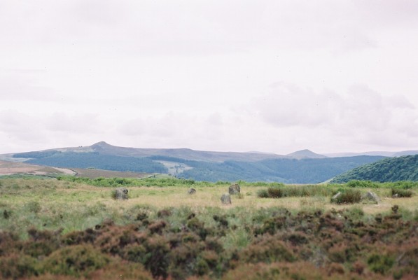
Don’t let the bastardization of this site’s name fool you! The seven stones actually number between 9 and 24, depending on the season and the growth around them. They’re laid out in a rough free standing circle around 15.5 metres in diameter.
Hordron Edge looking across to Lose Hill
One of the largest stones to the SW is said to mimic the profile of Lose Hill — which it does sort of if you have a vivid imagination. But it’s not half as close as the top of the stone matches the profile of Lose hill off to your right. It is a complete coincidence of course. The stone has suffered much weathering over the millennia and I’m in no doubt it wasn’t an intended original feature. (see pic, right)
Previously, and at some time preceding the 1992 excavations at the site by John Barnatt, the circle was “tampered” with, leading to a thorough investigation that unearthed several more buried stones, one of which was re-erected.
All in all a fantastically preserved circle and one of the best examples in Derbyshire that’s well worth the effort of a visit. Watch the weather though; as on all but one of my visits I’ve been drenched!. The “wow” factor of this site however, makes that a small price to pay for such an awe-inspiring excursion. With Win Hill and Lose hill looming large to the southwest, Stanage Edge off to the southeast and the great outcrop of Ladybower Tor with it’s rock art to the west, this circle has some of the best scenery of any the circles in Derbyshire.
Folklore
The stone that alleges to line-up with Lose Hill is also known by some of the more imaginitive as the Fairy Stone and there have been reports of strange lights and other phenomena reported around it. I’ve been up here on probably a dozen occasions and never witnessed anything strange — but then I’m often accused of being closed-minded. Another way of saying “non gullible” in my book!
References:
Armitage, Harold, Early Man in Hallamshire, Sampson Low: London 1939.
Barnatt, John, Stone Circles of the Peak, Turnstone: London 1978.
Burl, Aubrey, The Stone Circles of Britain, Ireland and Brittany, Yale University Press 2000.
Thom, A., Thom, A.S. & Burl, Aubrey, Megalithic Rings, BAR 81: Oxford 1980.
Despite a footpath being marked on the OS map, there’s none I could find and the only way to get there is to make your way through the heather. Park at the Wyming Brook nature reserve car park on Redmires road, take the signposted path besides the notice board and follow the line of the dry stone wall. Go through the gate and continue till you come to the end of the wall where a path leads off to your left through the broken wall, follow the path through the boggy bit and head uphill till you get to the highest point of the path by another wall with a path the other side. From here it gets a little tricky! You’ll now need to go off path heading NNE and down hill till you come to the post-and-wire fencing where you should pick up a slight path heading WNW (your left) and head for the high point about half a mile in front of you. Just before you come to the high point you’ll have to cross the stream (easily done). The cist lays on the flat ground just beyond the brow of the rise.
Archaeology & History
A long cist around 3 feet wide and 6 feet long in a well preserved condition aligned almost — but not quite — East/West on a prominent position on Hallam Moor, commanding views over Ash Cabin flat, Rivelin Valley and the A57 road. The only restricted view is to the northwest, where the moor rises then drops down again towards the Headstone.
There are 3 side-stones still in situ: the largest around 1 metre tall, the others still in place being about 70cm. The stones that would have made up the rest of the walls lay close by.
When you’re at the site it’s obvious why it’s in this location: the views are spectacular and afford excellent views of the surrounding area. A burial site with a vista truly fit for a king!
Archaeologically there’s not much info kicking around that I can find and I’m indebted to Stubob for alerting me to it’s presence. It’s very unlikely you’d be walking this area for any reason other than to visit the site, as there are decent paths across the moor to the most popular site in this area, the Headstone off to the North West. Remains of the Ash Cabin Flat stone circle are about 750 yards southeast of here.
A real gem of a site and a “must see” if your in the area.
Follow Redmires road till you come to Wyming brook nature reserve and use the free parking facilities there. From the car park you need the signposted path to the right of the notice board, the first one not the one by the metal barrier; climb the rocky steps and follow the line of the dry stone wall to your left, and after around 50 metres you’ll pass through a wooden gate. You then continue following the wall as it heads downhill and the wall becomes broken. Here you should notice a path that goes through the broken wall off to your left: don’t take it but continue another 50 metres or so, then turn 90° to your right facing the moorland. The circle is around 50 metres into the heather.
Ash Cabin Flat Stone Circle – as of 26/5/09
Archaeology & History
A fairly well preserved late neolithic or early Bronze age embanked stone circle located in a sea of heather on Ash Cabin Flat on the Western outskirts of Sheffield and rediscovered in 1981 due to the moor being burnt back.
The site is oval in shape and around 9m x 7m diameter to the outer edge of the bank. The banking is well preserved and shows there was no entrance to the interior.
There are around a dozen stones within and on top of the bank but it’s uncertain whether they are circle stones or packing stones from the bank. English Heritage have recorded 5 of the stones, 2 still standing, as stones that once stood making up the circle.
If you visit any time soon (23/11/09) you’ll find the moor has been burnt back again giving an excellent view of the site, when the heather is in full flow it’s as high as the highest stones making not only finding the circle nigh on impossible to find but also defining the site very difficult.
Additional Notes:
Editor – 1.12.9. – Following a visit to this site in the company of Megadread recently, we found what appears to be a number of other cairns on the flat moorland plain around this seeming cairn-circle site. There also appeared to be distinct evidence of ancient walling. Further archaeological evaluations are required here.
References:
Burl, Aubrey, The Stone Circles of Britain, Ireland and Brittany, Yale University Press 2000.
The nature of this site seems a little disputed. Shown on modern OS-maps and cited as being visited and seen in April 1967,the Canmore website also describes it in the present tense — but when I.A. Crawford (1965) wrote of this site he told that, “this standing stone…has been destroyed in fencing operations” — i.e., building a fence or wall, not some doods having a fencing fight!
Equally curious would be the stature of the site; as in the Royal Commission report (1928), the stone was told to be only 2-feet tall — which would mean that if this site is included as an authentic archaeological site, then we’re gonna have to double or treble the number of standing stone sites nationally! There are masses of ‘monoliths’ two-feet tall and above which are in the ‘natural’ category. But this stone, for whatever reason (the folklore probably), has been granted the providence as an authentic standing stone.
Folklore
Tradition told that this old stone was “alleged to mark a battle site” in ancient days. The variation on this theme tells that the stone marked the grave of a man who was slewn in battle here. Seems likely that there will be prehistoric tombs nearby…
References:
Crawford, I.A., ‘Carra Bhroin, S.Uist,’ in Discovery & Excavation in Scotland, 1965, SRG & CBA 1965.
Royal Commission on the Ancient & Historical Monuments & Constructions of Scotland, Inventory of Monuments and Constructions in the Outer Hebrides, Skye and the Small Isles, HMSO: Edinburgh 1928.
There are several tumuli near the top of the hill here, but only one of them really stands out. Nick Thomas (1976) told it to be one “of the best preserved bowl barrows in Surrey.” A brief description of the relevant tombs, running north to south:
“the first is 75ft across and 6ft high; the second, which has a surrounding ditch 9ft wide, is also 75ft across, but is 8ft high. The third has a diameter of 42ft and a height of 4ft. The last is 54ft wide and 5½ft high. It has a surrounding ditch 8ft wide. ” (Thomas 1976)
None of the tombs had been excavated up to the early 1980s, but I’m not sure if anything has been found since then. There was also a potential “great stone” up here that was mentioned by John Aubrey in the late 17th century, but nothing has been seen of it since. In all probability this was a standing stone or the remains of some prehistoric tomb.
Folklore
Several hundred years ago the King’s antiquary, John Aubrey, told the curious tale of the great cauldron that was said to have been found here:
“In the vestry (of Frensham church, in Surrey), on the north side of the chancel, is an extraordinary great kettle or caldron, which the inhabitants say, by tradition, was brought hither by the fairies, time out of mind, from Borough-Hill, about a mile hence. To this place, if anyone went to borrow a yoke of oxen, money, etc., he might have it for a year or longer, so he kept his word to return it. There is a cave where some have fancied to hear music. On this Borough hill…is a great stone lying along, of the length of about six feet. They went to this stone and knocked at it, and declared what they could borrow, and when they would repay, and a voice would answer when they should come, and that they should find what they desired to borrow at that stone. This caldron, with the trivet, was borrowed here after the manner aforesaid, and not return’d according to promise; and though the caldron was afterwards carried to the stone, it could not be received, and ever since that time no borrowing there.”
In relation to the folklore that is generally attached to the tumulus on top of the hill here from which modern lore ascribes the cauldron to have originated, when A.G. Wade (1928) came to investigate the nature of the site and the folktale he found that,
“there are several folk-tales other than those given by Aubrey. One relates that it was dug up on Kettlebury Hill, south of Hankley Common, by the monks of Waverley Abbey, and that it was taken by them to Frensham for brewing ale. Another tale says that it was a loan from the fairies of Thursley — there are tumuli in this parish, south of Ockley Common — and that Mother Ludlam, a medieval witch who lived, according to tradition, in Ludlam’s Cave in Moor Park, was the owner and lender. The cave was dug by a monk of Waverley Abbey who, when the water supply of the Abbey failed, found that three springs joined here, and by enlarging their outlets and bringing them together he obtained a good supply of fresh drinking water…”
Mr Wade was also unable to satisfactorily show that the Borough Hill named in Aubrey’s survey and Frensham Common hilltop were one and the same.
References:
Aubrey, John, The Natural History and Antiquities of Surrey, E. Curll: London 1719.
Thomas, Nicholas, Guide to Prehistoric England, Batsford: London 1976.
Wade, A.G., “The Great Cauldron of Frensham,” in Antiquity, 2:6, June 1928.
Standing Stones (destroyed): Grid Reference – G 915 605
Archaeology & History
Field-notes collected by Oliver Davies described there being “two standing stones, side by side,” at the coordinate given here. In Lacy’s Archaeological Survey (1983), he told that the larger and southernmost of the monoliths stood 5’10” high, with its companion being just 3 feet tall. All remains of these stones have apparently vanished.
References:
Lacy, Brian, Archaeological Survey of County Donegal, DCC: Lifford 1983.
From East Morton village, take the moorland road, east, and up the steep hill. Where the road levels out there’s a right turn, plus (more importantly!) a trackway on your left which leads onto the moor. Go up here, past the top of the tree-line; on for another 100 yards or so, then turn left into the heather. You’ll notice the upright stone from the path, even if the heather’s deep. Check it out!
Archaeology & History
Todmoor Stone – looking eastTodmoor Stone – looking south
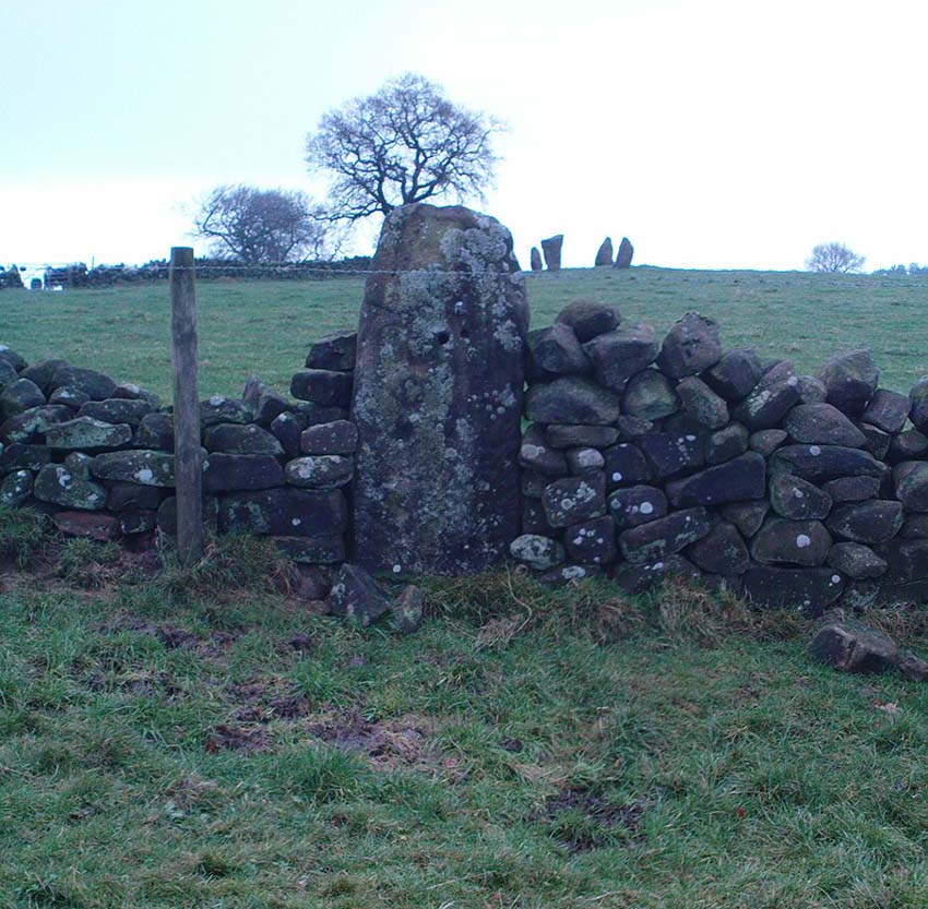
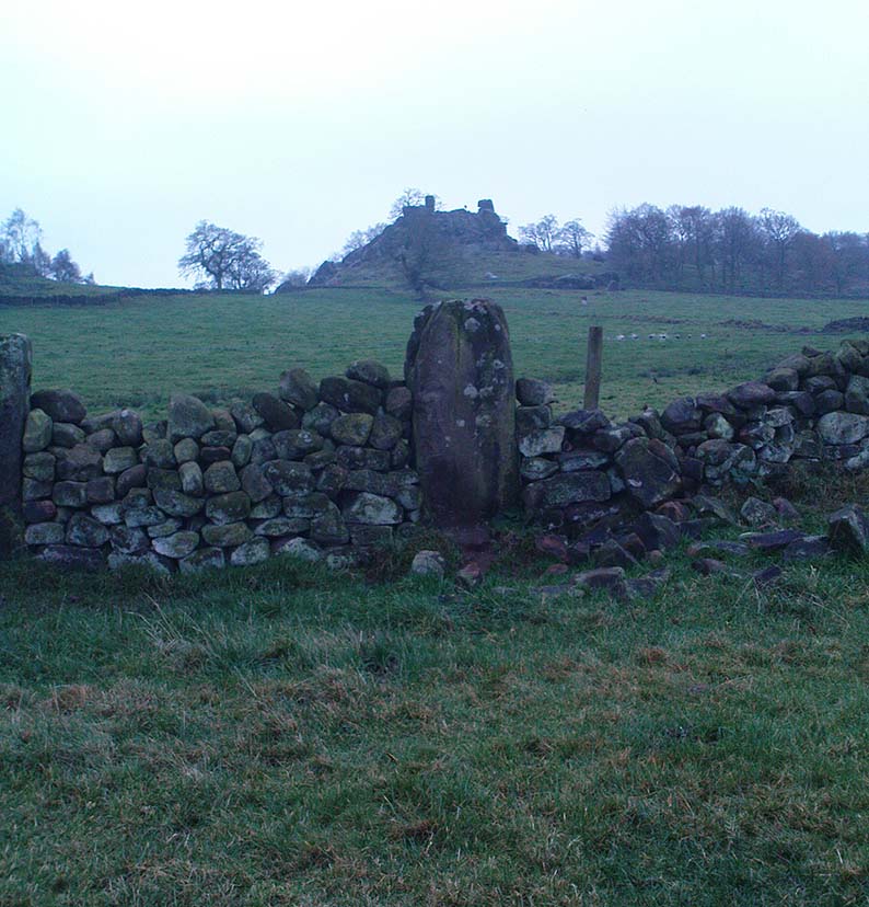
Nowt’s been said of this stone elsewhere — probably cos it’s in that halfway height between being classed as an authentic monolith, and that other of ‘dubious status’ (hence the reason I’ve highlighted this in inverted commas!). But an additional reason that this three-foot-tall stone needs describing is the close association it has with cup-and-ring stones very close by; along with some previously unrecognised prehistoric walling and at least one Bronze Age cairn some twenty yards to the north. We even find two distinctly archetypal ‘standing stone’ characters laid down in the heather 10 yards to the north, more than 4-feet long. It’s a good looking stone and has a chunkier upright bedfellow in the heather some twenty yards to the west. Along with the adjacent prehistoric remains here, the stone’s worth checking out!
The word Todmor was earlier spelt as ‘Todmerstones’ (1849) and is thought to relate to it being, in some form or another, ‘the boundary stones of the fox/es’. The nearest boundary line is about 100 yards west of here.
References:
Smith, A.H., The Place-Names of ther West Riding of Yorkshire – volume 4, Cambridge University Press 1961.
Stone Circle (destroyed): OS Grid Reference – SP 470 464?
Also Known as:
Ringstone Well
Archaeology & History
In 1239 CE we find records of a field-name site called “Ringstoneswelle.” Although the place-name writer Margaret Gelling (1954) initially ascribed this as the watering-place of some dood called Hringstan, it is in fact the only record that I’ve found of a “stone circle by a well” in the village. This etymological root is confirmed in A.H. Smith’s English Place-Name Elements (vol.1, p.265) as a probable stone circle.
Folklore
There is also the curious field-name legend of a place in Cropredy called Kirk or Church Piece, where a christian church was being built, but in the morning all the stones had been uprooted & moved back from whence they came. This happened several times according to the folktale – a story that has with all the hallmarks of a megalithic site. (see Grinsell’s Folklore) To me it seems likely that the nearby Cup and Saucer Stone also had something to do with this lost stone circle.
In the same area we have another intriguing bit of folklore that was reported in an early edition of the Banbury Guardian (1932) which told that,
“on one of the top stones of a wall in front of one of the farmhouses is what is supposed to be the Devil’s footprint and there are nail-marks in the stone, but how it gots it name is a puzzle. At the back of the vicarage gardens is a small jetty called HellHole, the old ‘Old Man’ must have visited this village a time or two.”
Are there any local antiquarians or historians who can throw further light on this seemingly lost megalithic ring?
References:
Anonymous, ‘Cropredy and its Legends,’ in Banbury Guardian, December 29, 1932.
Bennett, Paul & Wilson, Tom, The Old Stones of Rollright and District, Cockley: London 1999.
Gelling, Margaret, The Place-Names of Oxfordshire – volume 2, Cambridge University Press 1954.
Grinsell, Leslie V., Folklore of Prehistoric Sites in Britain, David & Charles: London 1976.
Smith, A.H., English Place-Name Elements – Part 1, Cambridge University Press 1954.
From Ripponden, taken the steep road up to Barkisland, but at the crossroads just before the village, turn right (south) and keep going for a mile till you reach the reservoir. At the far-end of the reservoir, take the track down by its side and follow the footpath that bends round the edge of the grasslands. Go up onto this small moorland and, once you’re on the level, head towards where you’ll see a large pile of stones a coupla hundred yards away. That’s it!
Archaeology & History
If we visit this site today, all we are left with is a scattered mass (or perhaps that should that be ‘mess’) of many hundreds of stones: the last remnants of what once would have been a proud circle of one form or another upon this small moorland plain. Its significance was such that the very moor on which its remains are scattered, was named after it: the Ringstone Edge Moor. But as with many sites from our megalithic period, this old place is but a shadow of its former self.
Gone are the upright monoliths which, tradition relates, once surrounded this low scattered circle of small loose stones (which would have made it look not unlike the wonderful stone circle of Temple Wood, Argyll). These standing stones were, so the folk record tells, removed near the end of the 18th century for use in some walling.
Described variously as a stone circle, ring cairn, cairn circle, an enclosure, and more, the site first seems to have been written about in 1775 by the great historian John Watson. When he was vicar of the local parish in Halifax (not far from here) this “ring of stones” as he called them, was “called the Wolf-fold.” Nearly one hundred years later, in F.A. Leyland’s superb commentary to Watson’s work, he wrote,
“The stones which constituted the circle at the time of their removal stood upwards of three feet…and the remain formed a striking object on the moor. The original number of stones of which the circle was formed is unknown, having long been in ruin and reduced in quantity before being finally removed. This was effected about twelve years since by the present tenant of the dam.” – that is, around 1859.
However, when Crabtree (1836) described the circle a decade or two earlier, he made no mention of such standing stones — although we must consider that Crabtree was very much like many modern academic archaeologists who tended to copy the works of others, much less than getting out in the field to see for himself.
At the beginning of the 20th century, the lore telling of the standing stones’ demise was repeated by local historian John Priestley (1903), when he said that: “all the large stones…were carted away about forty years ago” — that is, around 1863.
So it would seem that the very final destruction of the standing stones here, occurred sometime during the four year gap which Messrs. Leyland and Priestley describe.
More than fifty years later, Huddersfield historian James Petch (1924) came here to explore whatever remains he could find, and told:
“On top of a flat plateau on this moor, with an extensive view on all sides save on the north, where there is a gentle slope for some hundreds of yards up to the summit of the hill, there are distinct traces of a circular ring of small stones. Pygmie flints have been picked up within a yard or two, but the only other fact to be noted about this earthwork is that there is a tradition to the effect that much earth has been removed from this site. It is not altogether impossible that this is a scanty remnant of a round barrow.”
This latter remark of Mr Petch seems most probable. The excessive scatter of small stones typifies the remains of many of the Pennine giant cairns, from the Little Skirtful on Burley Moor and giant tombs of the Black Hills near Skipton, to the similar monuments of our Devil’s Apronful, Pendle, etc, etc.
Close to this cairn circle, wrote Sidney Jackson (1968), there used to be the remains of an Iron Age settlement, “marked by wall foundations (but) is now covered by the waters of Ringstone Reservoir.”
Folklore
There is very little folklore that I’ve found here. Watson (1775) throws the usual idea that the place was a site of druidical worship; but other than that we only have a local Ripponden writer’s account, which told that there was once the ghost of a white lady that was once said to walk along the path somewhere between here and the Beacon Hill tumulus, a short distance to the north.