Witch’s Stane, Craigie, Ayrshire

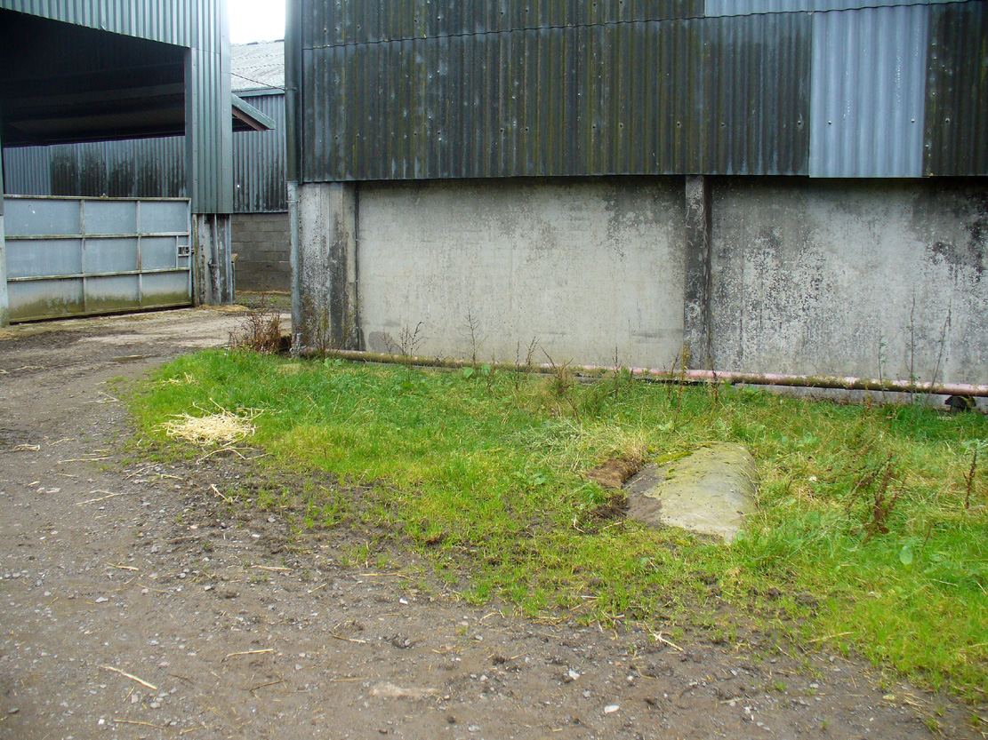
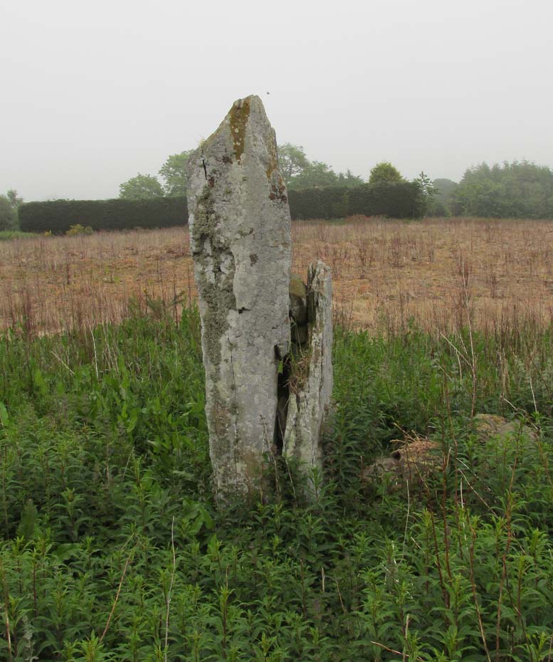
Legendary Rock (destroyed):  OS Grid Reference – NS 4268 3231

Also Known as:

  1. Canmore ID 42851
  2. White Stane
  3. Witches’ Stone

Archaeology & History

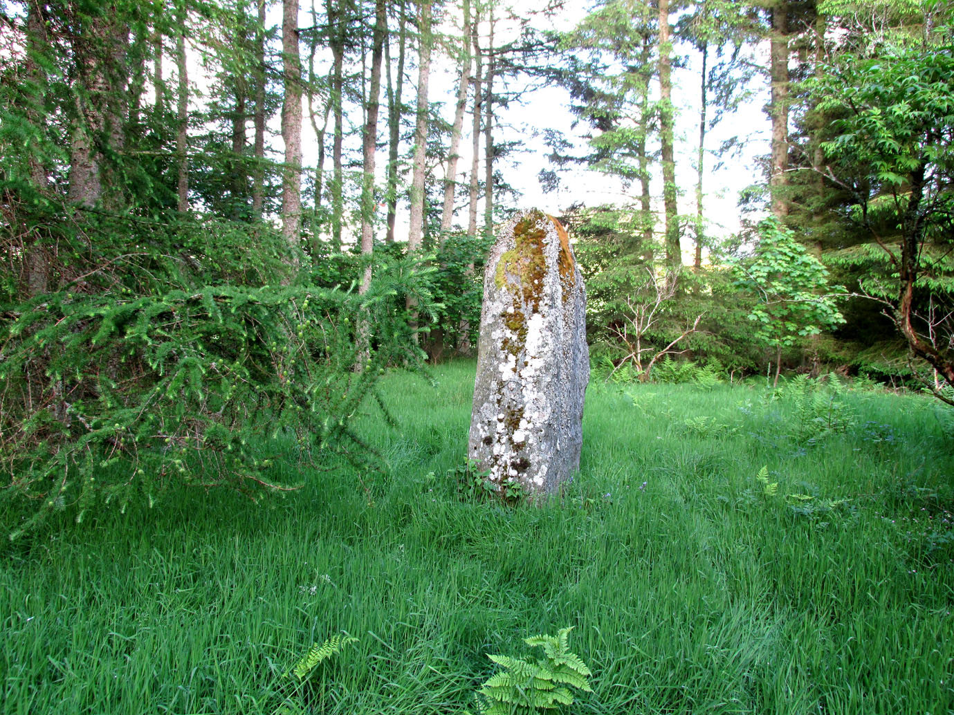
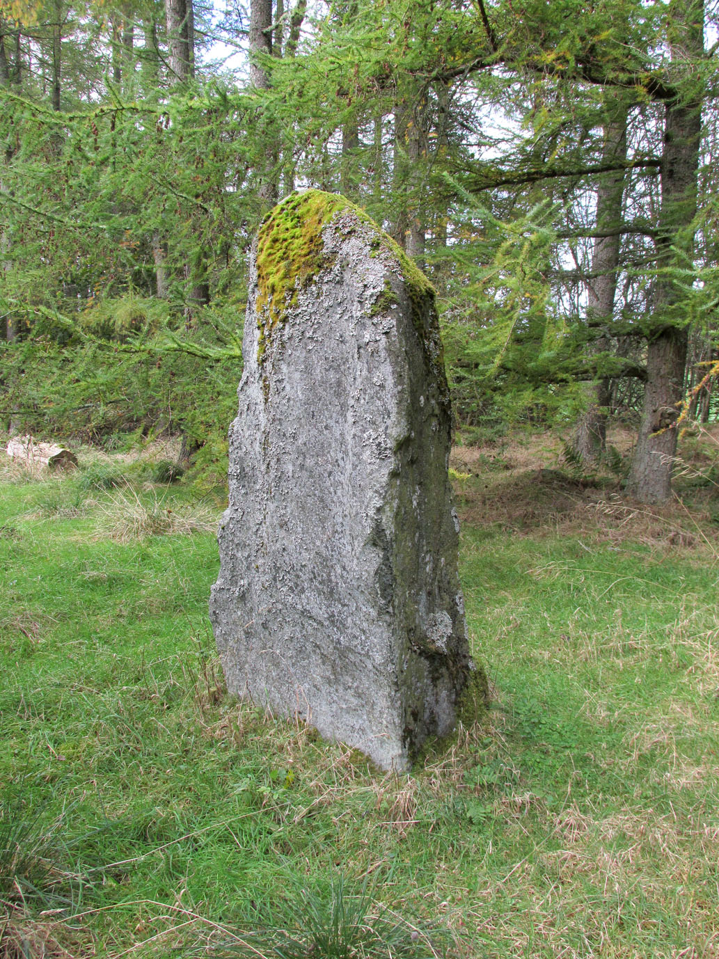
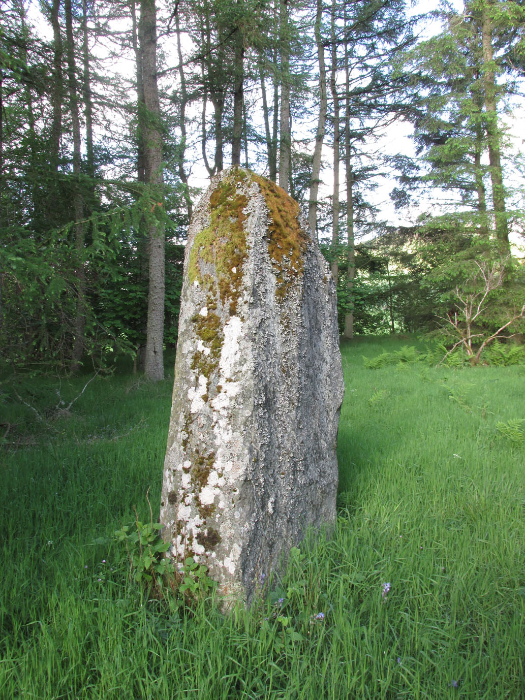
It is difficult to assess the precise nature of this megalithic site, sadly destroyed some two hundred years ago.  The Royal Commission thinks it may have been a rocking stone, but the legend said of it indicates it to have been associated with a giant prehistoric cairn, although nothing remains nowadays.  The site was mentioned briefly in James Patterson’s (1863) huge work on the townships of Ayrshire, where he described the site as “standing upright” and “being in a field on Lodgehouse Farm,” near the village church.

“It stood on three stones, so high that a man could crawl under. It was blasted in 1819 to build houses.  The farmer’s wife, it is said, took some antipathy to it, and would not give her husband rest until he consented to have it removed.  A person of the name of Jamieson, and an assistant, were employed to blast it, which was accordingly done.  When broken up, it filled twenty-four carts.  Such was the feeling of sacrilege occasioned by the removal of the stone, that it was observed the farmer’s wife became blind, and continued so for eight years, when she died. Jamieson, who blasted it, never did well afterwards.  He drank and went to ruin.”

Serves them right!  Additional lore gained from a local lady in the 1870s has one of those all-too-familiar elements to it, speaking of something more substantive.

Folklore

When Archibald Adamson (1875) wrote his fine work on the history of Kilmarnock and district, folklore elements more typical of the Cailleach—whose legends abound in our more northern climes—seemed to have been attached to this missing site.  It is worth telling in full:

“After partaking of refreshments in the village inn, and indulging in a chat with the landlord, I retraced my steps to the highway, and in doing so got into conversation with an old lady who was very loquacious and well versed in the lore of the district. Amongst other things, she informed me that once on a time the church of Craigie had a narrow escape of being destroyed by a witch who had taken umbrage at it. It seems that the hag selected a large stone, and having placed it in her apron, flew with it in the direction of the building with the intention of dropping it upon its roof.  Her design, however, was frustrated by the breaking of her apron strings, for, upon nearing the object of her spleen, they gave way, and the stone fell with a crash that shook the earth. This accident seemingly so disheartened the carlin that she abandoned the destructive idea and allowed her burden to lie where it fell. The boulder lay in a field near the churchyard wall, and was known as “The White Stane.” It was long regarded with superstitious awe by many; but the farmer on whose ground it lay being of a practical turn of mind, looked upon  it with an eye to utility, and had it blasted for building purposes. Strange to relate, when broken up the debris filled twenty-five carts–a circumstance that would lead one to suppose that the witch must have been very muscular, and must have worn a very large apron.”

It is most likely that the witch in this legend originally set off from the Witch’s Knowe, more than 500 yards to the west of the church (and still untouched, despite the mess of the quarrying immediately adjacent).  Any further information on this missing site would be greatly appreciated.

References:

  1.  Adamson, Archibald S., Rambles round Kilmarnock, T. Stevenson: Kilmarnock 1875.
  2. Paterson, James, History of the Counties of Ayr and Wigton – volume 1, James Stillie: Edinburgh 1863.

© Paul BennettThe Northern Antiquarian


Culhawk Hill, Kirriemuir, Angus

Stone Circle:  OS Grid Reference – NO 3530 5620

Also Known as:

  1. Canmore ID 32209

Getting Here

The largest stone in the ring

From Kirriemuir central, head up the Kinnordy road, going straight across the main road and continuing past the Kinnordy turn-off for just over a mile towards Mearns, stopping where a small copse of trees appears on your left.  From here, walk along the track to the west. It goes gradually uphill, cutting through a small cleft with a hillfort on the north and a cairn circle on the south until, ⅔-mile along, you reach the moorland.  Keep going on the same path for another ½-mile west where the grasslands level out.  Here, on the flat bit between the two hills, a small incomplete ring of stones lives, with one stone sticking out.  You’ll find it!

Archaeology & History

This is a curious site on several levels—not least, that its definition as a ‘stone circle’ is a fragile one; although to be honest, we do find here a large unfinished arc of stones in what looks like either an unfinished ring, or a deliberately constructed large arc.  But you won’t find it in the standard megalithic gazetteers of Burl, Barnatt or Thom as it was only relocated in the 1980s by local researchers Sherriff and MacKnight. (1985)  They didn’t have much to say about it either, simply telling that they’d found,

“A stone setting representing the remains of either a denuded cairn or a stone circle lies in the saddle between Culhawk Hill and Castle Hill. One erect and 4 prone boulders describe a portion of a roughly circular site some 10m in diameter.”

Arc of fallen stones, looking NE

Faint low ring, looking W

This is roughly the gist of it, with the largest and most prominent of the stones—barely three feet tall—standing on the western side (this is the stone which draws your attention – otherwise you’d never even notice it).  The rest of the stones seem to have been knocked down some time ago.  A barely discernible embankment constructed around the edge of the ring can be seen around the northern side.  It seems unlikely that it was a cairn, as no inner piles of stones were in evidence when we visited the site.  It may be a large hut circle.  But in truth it could do with an excavation so that we can suss out its exact nature.  Beneath the grasses we found an additional stone to those counted by Sherriff & MacKnight; but more intriguing is what Frank Mercer and I found before we even reached the small circle….

Trackway leading to the circle

More visibly distinct than the ring itself were two artificial raised embankments, running parallel with each other 3-4 yards apart.  The raised edges of these embankments were about a yard across, on both sides, with the inner area slightly lower than the outlying natural background.  These distinct linear earthworks are, quite simply, an early medieval or prehistoric trackway—and it leads directly into the circle!  It’s quite unmistakable and is clearly visible as it drops down the slope to the south and away into the fields below.  Sadly when we found it last week, darkness was falling and so we didn’t trace the trackway any further.  But the most notable thing was that it stopped at the circle and did not continue on its northern side, implying that it was constructed with the circle as its deliberate focal point.  The trackway and its embankments are roughly the same size as other recognized prehistoric routes, such as Elkington’s Track on Ilkley Moor and the other ancient causeway that runs past the prehistoric ring known as Roms Law.

Regarding the ring of stones: unless you’re a real megalith fanatic, you’ll probably be disappointed by what you see here.  It’s a bittova long wander to something that may once have been just a hut circle, but the avenue leading up to it is something else – and much more intriguing!

References:

  1. Sherriff, John R. & MacKnight, O., “Culhawk Hill (Kirriemuir p): Stone Setting,” in Discovery & Excavation Scotland, 1985.

Acknowledgements:  Thanks as always to Nina Harris and Frank Mercer; and to Paul Hornby for use of his photos.

© Paul BennettThe Northern Antiquarian


Templelands, Auchterhouse, Angus

Stone Circle (destroyed):  OS Grid Reference – NO 355 360

Also Known as:

  1. Canmore ID 31855

Archaeology & History

In Mason Inglis’ (1888) fascinating history of the village of Auchterhouse, he describes a number of prehistoric antiquarian remains—some destroyed, others still in place.  But this old ring of stones is another of our ancient monuments that has fallen in the wake of the Industrialists with their ‘progress’ and ecocide.  Mr Inglis told,

“South of the Templelands another group of these mysterious circular stone relics of pagan times at one time stood, and was also held in much regard, and recognized as an ancient place of worship.  This group, however, unfortunately was demolished during excavations for railway purposes.”

He goes on to describe the finding of other prehistoric tombs and “unhewn slabs…in regular rows and at equal distances apart” in the same area.  It seems that many of these have also been destroyed.

References:

  1. Inglis, W. Mason, Annals of an Angus Parish, John Leng: Dundee 1888.

© Paul BennettThe Northern Antiquarian

Tods Stone, Monifieth, Angus

Standing Stone (destroyed):  OS Grid Reference – NO 486 339?

Archaeology & History

The only reference I can find about this site is in A.J. Warden’s (1880) massive survey of the county of Angus—previously called ‘Forfarshire’—where, in his discussion of the hillforts of the area, he told us that,

“About a quarter of a mile distant from The Laws is the Gallow Hill of Ethiebeaton.  In a field, a little to the south, there formerly stood a large upright stone called Tods Stone.”

All trace of it disappeared when quarrying operations were undertaken there, also destroying a number of prehistoric tombs close by.  The monolith may have had some association with the tombs, but we cannot be certain.

The name of the stone, tods, probably derives from the word ‘foxes’, although we cannot be certain of this either, as there are a variety of other Scottish dialect words relating to ‘tod’that may have had bearing on the name.

If anyone has any further information about this long lost site, we would gladly welcome it.

References:

  1. Grant, William (ed.), The Scottish National Dictionary – volume 9, SNDA: Edinburgh 1973.
  2. Warden, Alex J., Angus or Forfarshire – volume 1, Charles Alexander: Dundee 1880.

© Paul BennettThe Northern Antiquarian


Witches Stones, Kirkton of Auchterhouse, Angus

Cup-and-Ring Stones (lost):  OS Grid Reference – NO 345 392

Also Known as:

  1. Canmore ID 31908
  2. Greenfield Knowe
  3. Greenford Knowe
  4. Sidlaw Hospital
  5. Spittal Stones

Archaeology & History

1843 map showing the 'Stone'

1843 map showing the ‘Stone’

We have no precise location for this carving, nor several of its petroglyphic relatives who lived within this arena for countless centuries until (you guessed it!) the advance of the Industrialists brought their profane ways to the region, with the usual disregard for local people and their unwritten traditions.   Which is a great pity, for there were obviously some old stories and important archaeology hereby.  Aubrey Burl (1988) for one, thought this cup-and-ring carving may have played its part in being one of the stones in a larger “four-poster” stone circle, although local history accounts tell that it was part of an impressive prehistoric tomb.

One of the Witches Stones

One of the Witches Stones

The Witches’ Stone we see illustrated here was one of at least two carvings in a cluster of stones.  The great J. Romilly Allen (1881) wrote about the it, although it seems he never visited the site himself.  Instead, his description came from that of a colleague, a Mr W. McNicoll, who told him that at the position marked on the early OS-map as a single “Stone” that was “Remains of a Druidical Altar” there were in fact

“two in number: one, an upright pointed stone, 5ft by 2ft by 3ft 6in high; ans the other lying 3ft 6in to the southwest, 7ft 6in by 5ft by 2ft 6in thick.  The latter has fifteen cups, varying from 2 to 3in in diameter; one with a single ring carved on the sloping face at the south end of the stone.  It lies horizontally and has two hollows, worn at the ends where the cups are, by the toes of persons climbing onto the top.  The ground under this stone has been partly removed and it appears to rest on two others; but the whole appears to be natural and not a cromlech or rocking stone.”

Folklore

One of the Witches Stones

One of the Witches Stones

Reference was made to this “Witches Stone” in the 1860 Object Name Book of the region, where it was said to have been part of a larger group, “considered to have been used by the Druids as a place of worship.”  This catch-all phrase of druidic relevance should be translated as “local traditional importance” where animistic rites of some sort would have occurred.  Certainly we find the usual reverence or fear in the local tale told by Mr Hutcheson (1905) which he thankfully recorded following his visit to the site:

“Here…occupying a small knoll known locally as Greenfield Knowe, towards the western end of the plateau…two upright standing stones of boulder character formed a conspicuous feature.  They were, if tradition be accepted, the survivors of a larger group.  The same tradition records that the farmer of Greenfield Farm, requiring stones for the erection of dykes, removed some of the standing stones from Greenfield Knowe.  He, however, speedily found unexpected difficulty in carrying out his intentions.  The dykers whom he had employed absolutely refused to use the stones, alleging they would thereby bring misfortune upon themselves and families, , and threatened, rather than risk such calamities, to throw up the job.

“While in this quandry the farmer, it is said, had a vision: a ghostly figure appeared to him, and in a hollow voice warned him against interference with he stones on Greenfield Knowe, and concluded by the adjuration, “Gang ower the howe t’ anither knowe.”  Needless to say, the farmer lost no time in obeying his ghostly visitor.  Next morning he carted back the stones he had removed and sought material for his dykes elsewhere.”

This is probably the same tale, slightly reformed, which the local historian W.M. Inglis (1888) described, when he told that,

“About the beginning of the present century, when a worthy old parishioner was having some repairs carried out upon his house, he removed a few of the large stones with the intention of having them built into the walls.  Throughout the night, however, an eerie feeling came over him, his conscience was on fire, he could get no rest.  Accordingly he got out of bed, yoked his horse into the cart, and like a sensible man replaced yjr sacred stones where he found them, went home, and thereafter slept the sleep of the righteous.”

References:

  1. Allen, J. Romilly, “Notice of Prehistoric Remains near Tealing, in Forfarshire” in Journal of British Archaeological Association, volume 37, 1881.
  2. Burl, Aubrey, Four Posters: Bronze Age Stone Circles of Western Europe, BAR 195: Oxford 1988.
  3. Hutcheson, Alexander, “Notice of the Discovery of Stone Coffins at Auchterhouse,” in Proceedings of the Society of Antiquaries, Scotland, volume 39, 1905.
  4. Inglis, W. Mason, Annals of an Angus Parish, John Leng: Dundee 1888.

© Paul BennettThe Northern Antiquarian


Kilry, Glen Isla, Angus

Standing Stone: OS Reference – NO 2432 5449

Also Known as:

  1. Canmore ID 31093

Getting Here

Take the B954 north from Alyth, and turn left onto the unclassified road at Craigisla House, turning right at Dykehead, then take the right fork at Faulds. Park up by the school about ¼ mile further on, and the stone is in a wooded glade on the opposite side of the road along a track to the left of ‘Standing Stone’ cottage.

Archaeology and History

Quoted in the Canmore database, A.J. Warden, writing in 1882, described the stone:

The standing stone on Broomhall estate is a large amorphous whinstone, standing in a small field near the confluence of the Kilry Burn and the River Isla.  It is c.7′ high and c. 10′ in circumference at the base. Tradition states that it commemorates a battle fought between the laird of Kilry and the Durwards of Peel.’

On the OS map the stone is aligned with the Pitmudie Stones and the Knowehead of Auldallan Stones to the north east.

References:

  1. Warden, A.J.,  Angus or Forfarshire: The Land and People, Descriptive and Historical – volume 3, Dundee 1880-5.

© Paul Hornby, The Northern Antiquarian


Ghaist Stane, Fern, Angus

Standing Stone:  OS Grid Reference – NO 4832 6173

Getting Here

Ghaist Stane on 1865 OS-map

Ghaist Stane on 1865 OS-map

Whichever route you take to reach this lovely hamlet, hiding away in deep greenery, when you get to the one and only road junction, where it goes downhill (towards the old church), look just above you just below the first tree.  All but covered in vegetation, the ruined stone lays down there. Climb up and see!

Archaeology & History

Tis up on the verge here

Tis up on the verge here

An exploration of this site was prompted when fellow antiquarian, Paul Hornby, came across the curious place-name of ‘Ghaist Stane’ when he was looking over some old Ordnance Survey maps of the region.  So we met up and took a venture over there!  Last highlighted on the 1865 map (when the old village was known as Fearn, not the modern spelling), even the Canmore lads had missed this one.  But it’s not easy to find….

After meandering back and forth by the village roadside, on the tops of the walls, into the field above, Paul eventually said, “Is that it?!” just above the roadside, almost buried in vegetation below the roots of a tree.  So I clambered back up and brushed some of the vegetation away – and there it was – in just the place that the old OS-map showed it to be (give or take a few yards).

The remains of the stone measure roughly 3 feet by 3 feet; with the present upper portion of the stone being of a lighter colour than the lower portion, indicating that this section of the stone was the portion that was underground when it was standing upright.  Its history is fragmentary, but we know that it was almost completely destroyed in the middle of the 19th century.  Notes from the Object Name Book of the region in 1861 told,

“The “Ghaist Stane”…formerly well known, is becoming little known from the stone having been recently blasted in making the Dike it now forms a part of, but it may be observed in the wall as a huge stone much larger than those beside it in the Dike. It does not project now from the side of the Road.”

Now the stone is almost entirely forgotten and lays covered, ignored, even by local people.  It could do with being resurrected and its heritage preserved before it disappears forever.

Folklore

The uncovered Ghaist Stane

The uncovered Ghaist Stane

The word “ghaist” is a regional dialect word meaning “a ghost or goblin”, inferring that the site was haunted.  And, considering the inherent animistic cultural psychology of the people here in earlier centuries, we must also consider the distinct possibility that the stone itself was the abode of a resident spirit, perhaps an ancestral one of a local chief, or queen, or elder of some sort.

In James Guthrie’s (1875) analysis of the folklore of Fern township, he told of the peculiarly odd violent brownies of the district and thought that they and the spirit of the Ghaist Stane were one and the same.

“In addition to the leading characteristics of Brownies in general the more prominent of these being, that they forded the rivers when their waters were at their highest, and that the sage femme always landed safely at the door of the sick wife—the brownies of Ferne are connected with scenes of cruelty and bloodshed.  This peculiarity would seem to indicate that the brownie and the ghaist of Feme, were one and the same.  The Ghaist Stane is in the vicinity of the church.   To this piece of isolated rock, it is said this disturber of the peace was often chained as a fitting punishment for his misdeeds, but tradition is silent as to the brownie being similarly dealt with, which strengthens the supposition that they were, in this quarter at least, generally regarded as one being.”

The spirit of the Ghaist Stane roamed far and wide in the district it seemed, and a long rhyme telling a tale of the ghaist was once well-known in the area which, thankfully, Mr Guthrie gave us in full:

THE GHAIST O’ FERNE-DEN

There liv’d a farmer in the North,
(I canna tell you when),
But just he had a famous farm
Nae far frae Feme-den.
I doubtna, sirs, ye a’ hae heard,
Baith women folks an’ men,
About a muckle, fearfu’ ghaist —
The ghaist o’ Ferne-den!
The muckle ghaist, the fearfu’ ghaist,
The ghaist o’ Ferne-den;
He wad hae wrought as muckle wark
As four-au’-twenty men!

Gin there was ony strae to thrash,
Or ony byres to clean,
He never thocht it muckle fash
0′ workin’ late at e’en!
Although the nicht was ne’er sae dark,
He scuddit through the glen,
An’ ran an errand in a crack —
The ghaist o’ Ferne-den!

Ane nicht the mistress o’the house
Fell sick an’ like to dee,—
“O! for a oanny wily wife!”
Wi’ micht an’ main, cried she!
The nicht was dark, an’ no a spark
Wad venture through the glen,
For fear that they micht meet the ghaist —
The ghaist o’ Ferne-den!

But ghaistie stood ahint the door,
An’ hearin’ a’ the strife,
He saw though they had men a score,
They soon wad tyne the wife!
Aff to the stable then he goes,
An’ saddles the auld mare,
An’ through the splash an’ slash he ran
As fast as ony hare!

He chappit at the Mammy’s door—
Says he — “mak’ haste an’ rise;
Put on your claise an’ come wi’ me,
An’ take ye nae surprise!”
“Where am I gaun?” quo’ the wife,
“Nae far, but through the glen —
Ye’re wantit to a farmer’s wife,
No far frae Ferne-den!”

He’s taen the Mammy by the hand
An’ set her on the pad,
Got on afore her an’ set aff
As though they baith were mad!
They climb’d the braes—they lap the burns—
An’ through the glush did plash:
They never minded stock nor stane,
Nor ony kind o’ trash!

As they were near their journey’s end
An’ scudden through the glen:
“Oh!” says the Mammy to the ghaist,
“Are we come near the den!
For oh! I’m feared we meet the ghaist!”
“Tush, weesht, ye fool! “quo’ he;
“For waur than ye ha’e i’ your arms,
This nicht ye winna see!”

When they cam to the farmer’s door
He set the Mammy down:—
“I’ve left the house but ae half hour—
I am a clever loon!
But step ye in an’ mind the wife
An’ see that a’ gae richt,
An’ I will tak ye hame again
At twal’ o’ clock at nicht!”

“What maks yer feet sae braid?” quo’ she,
“What maks yer een sae sair?”
Said he, — “I’ve wander’d mony a road
Without a horse or mare!
But gin they speir, wha’ brought ye here,
‘Cause they were scarce o’ men;
Just tell them that ye rade ahint
The ghaist o’ Ferne-den!”

References:

  1. Guthrie, James C., The Vale of Strathmore – Its Scenes and Legends, William Paterson: Edinburgh 1875.

© Paul BennettThe Northern Antiquarian


Formal, Bridge of Craigisla, Lintrathen, Angus

Standing Stone (fallen):  OS Grid Reference – NO 25618 54024

Also Known as:

  1. Canmore ID 31046

Getting Here

Standing Stone on 1865 map

Standing Stone on 1865 map

From Alyth village, take the B954 road north for several miles.  At the sharp bend of the road when you’ve crossed the Bridge of Craigisla, a few hundred yards along take the next road left.  Barely 100 yards along, stop!  Walk into the where the large farm-buildings are and keep your eyes peeled on the ground, just in front of the first farm building.  A large long stone measuring about 7-feet (2.1m) is thereby beneath your very feet!

Archaeology & History

Formal Stone, laying down

Formal Stone, laying down

At the edge of the farm-buildings this all-but-forgotten standing stone lays prostrate, almost hidden, and slowly being covered by the soil and grasses, nearly falling away past the eyes of history.  It’s a pity, as this fallen stone would have stood some six-feet upright, with a couple of feet of it underground.  When it was mapped by the Ordnance Survey lads in the 1860s, a portion of the stone remained standing.  This was echoed in the survey of the Object Name Book in 1861 in which the buildings of Formal were described:

“A fine farm house and offices the property of the late Robert Smith Esqr. of Balharry – in the stackyard is a broken standing stone, to which my attention was drawn by Alexander Annand of Blackdykes and the (parish) Minister.”

Thankfully the present-day farmer here would like to have the stone stood back upright, so hopefully its resurrection aint gonna be too far away.

Formal Stone, looking east

Formal Stone, looking east

Formal Stone, looking south

Formal Stone, looking south

The stone isn’t lying in its original upright position.  It used to stand nearly 10 yards east of here, and was knocked down and rolled into its present spot when an earlier adjacent building was erected.  Another large boulder in the corner where the walls meet (at NO 25585 54044), just through the gates, may also have had some megalithic relationship with the fallen monolith.

© Paul BennettThe Northern Antiquarian

Balkello, Tealing, Angus

Standing Stone:  OS Grid Reference – NO 36332 38305

Also Known as:

  1. Canmore ID 31871
  2. The Standing Stone of Balkello

Getting Here

Balkello Stone, W of Tealing

From the little village of Kirkton of Auchterhouse, take the winding road uphill east as if you’re heading to Tealing.  About 1⅓ mile along, where the road has straightened out, keep your eyes peeled on your right (to the south) where—if the vegetation isn’t too high—you’ll see a tall upright stone in the field.  You’ll have to walk along the roadside until you find a gate into the overgrown field.  Good luck!

Archaeology & History

Not to be confused with the legendary Martin’s Stone of Balkello ⅘-mile to the southeast, this is a little-known standing stone hiding above a mass of boscage ‘pon a quiet ridge that fades focus away from the world.  It’s a bittova giant, all but forgotten it seems, and with little history to speak of in literary terms at least.  When we visited the place a short while ago, summer nettles and willowherbs obstructed our initial contact—but we got to the fella eventually.

This dood lives & sleeps at the stone!

Looking east

Standing more than nine feet high and about five feet across, it’s quite a slender monolith that has seen better days.  Its southern face is crumbling away and a large section of it is close to splitting off completely (surely a case for Historic Scotland to fix?).  As you can see in the photos, upper portions of the stone have fallen into the widening crack that promises to fell the stone at some time in the not-too-distant future.  Let’s get it sorted —before it collapses!

Balkello Stone on 1865 map

It was highlighted on the first OS-map in 1865 as the Standing Stone of Balkello, although without antiquated lettering.  But unless there is excellent reason to suggest this was erected in recent times (it wasn’t), its ‘prehistoric’ status needs activating—cos it’s surely prehistoric!  We all thought so anyhoo…  It’s well worth checking out when you’re in the area!

Folklore

When the Ordnance Survey lads first visited the site in 1861, local people informed them that the stone was said to be,

“in Connection with some others in the Parish (and) are supposed to have (been) used to point out the Roads as they were then, merely beaten paths.”

Alfred Watkins students take note!

Acknowledgements:  Huge thanks as always to Paul Hornby, Nina Harris & Frank Mercer for their assistance in our visit here.

© Paul BennettThe Northern Antiquarian


Hillhead, Forgue, Aberdeenshire

Stone Circle (destroyed):  OS Grid Reference – NJ 638 367

Also Known as:

  1. Canmore ID 18237 
  2. Hillhead of Bogfouton
  3. Wether Hill

Archaeology & History

Described by the early 20th century antiquarian and megalithomaniac Fred Coles (1903) as being situated “about 1¼ mile SE from the church at Ythan Wells,” all trace of this stone circle has long gone, and had already disappeared when Coles was surveying the region, telling merely that it had been here “in open fields.”  All subsequent explorations looking for remains of the site has proven fruitless.

References:

  1. Barnatt, John, Stone Circles of Britain – volume 2, British Archaeological Report: Oxford 1989.
  2. Cole, Fred, “Report on the stone circles of North-Eastern Scotland, chiefly in Auchterless and Forgue,” in Proceedings of the Society of Antiquaries, Scotland, volume 37, 1903.

© Paul BennettThe Northern Antiquarian