Ben Ledi, Callander, Stirlingshire

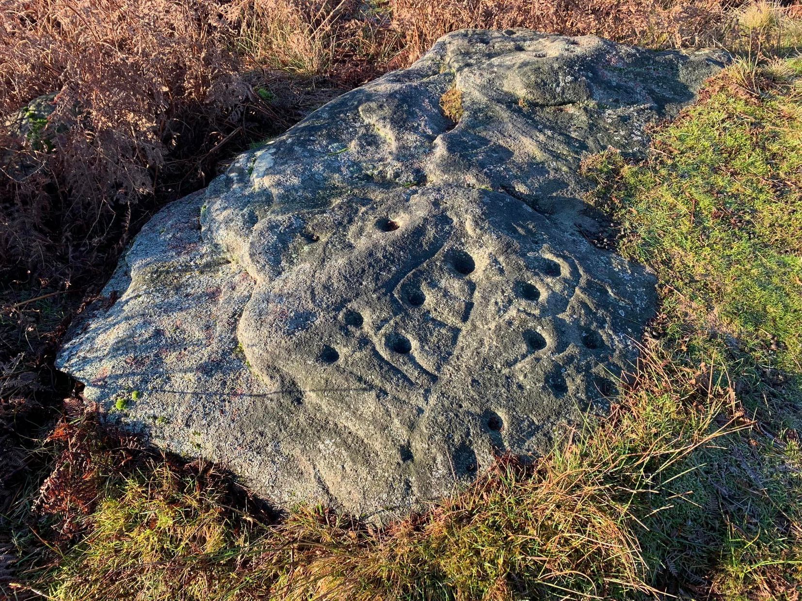
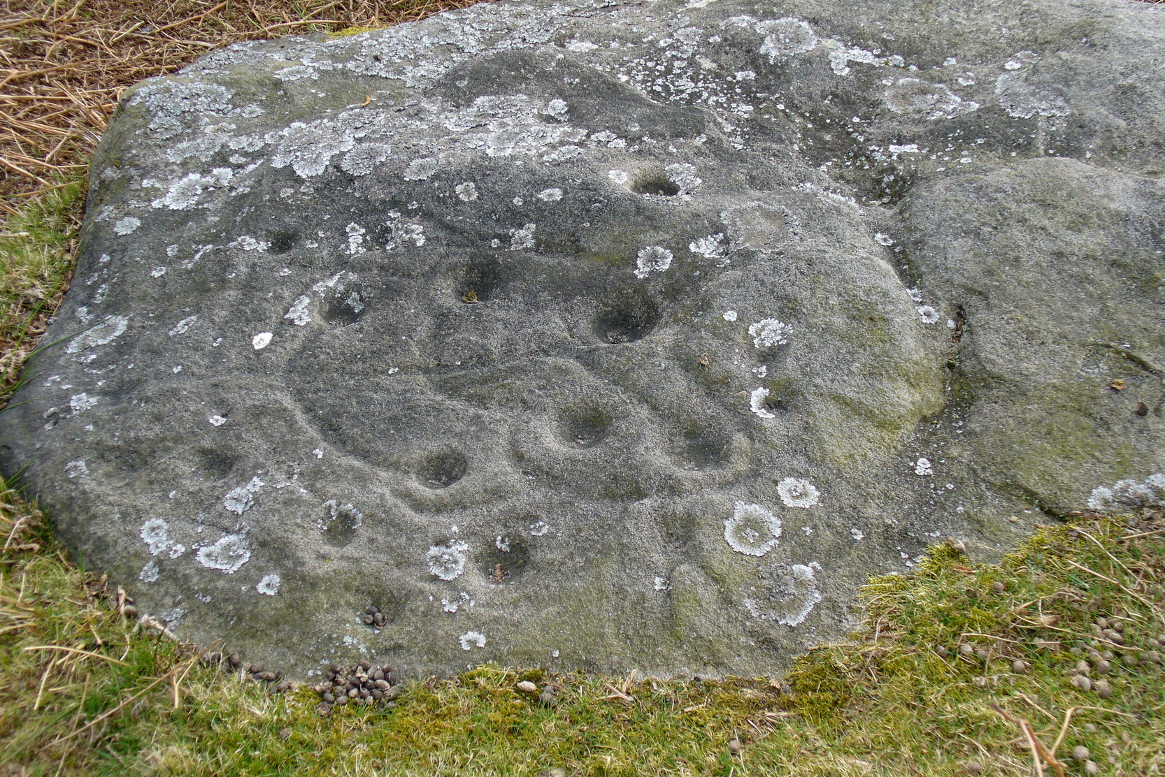
Sacred Mountain:  OS Grid Reference – NN 562 097

Getting Here

The hazy peak of Ben Ledi

From the tourist-infested (but lovely) town of Callander, look west to the largest of the nearby mountains — that’s where you’re heading!  You can keep along the A84 road out of the town for 4-5 miles (past the Falls and Pass of Leny) till you reach the parking spot on your left.  Cross the river and go up into the signposted woodland.  Keep walking up thru the trees until the rocky mass emerges above you.  You can either keep to the path and follow the long walk round the mountain, or go straight up the crags above you.  The top’s in sight!

Folklore

Getting up here is no easy task if you’re unfit — but it’s well worth the effort for the journey alone!  And in bygone centuries it seems, local people made it a particular pilgrimage at specific times during the year.  Even the name of this great hill has some supposed affinity with holy issues; though some modern english etymologists put a dampener on such things.  In Charles Rogers’ (1853) excellent Victorian exposition, he told that,

Benledi is an abbreviation of the Celtic Ben-le-dia, signifying the hill of God.”

But whether the old heathens who named most of these ancient mountains would echo his oft-repeated derivation is another thing altogether!  However, there are other decidedly pre-christian events that used to be enacted here, for the summit of Ben Ledi was, tradition tells, where the sun god was worshipped.  It would seem, however, that this tradition is a somewhat watered-down version of it as a site of cosmological and social renewal. (see Eliade 1974) For akin to the annual pilgrimage that happens upon Croagh Patrick in County Mayo, Ireland, here upon Ben Ledi,

“For three days and three nights…the inhabitants of the district in those primitive times convened, at the period of summer solstice, on the summit of the mountain, to join in the rites of heathen worship.”

More recent lore tells the date of such sacred gatherings was Beltane.  Also a short distance to the north of the summit of Ben Ledi is a small loch known as Lochan-nan-corp.  Mr Rogers again tells us that,

“Here two hundred persons, who were accompanying a funeral from Glenfinglas to the churchyard of St. Bride, suddenly perished; the ground had been covered with snow and the company were crossing the lake on the ice, when it at once gave way.”

It seems a most unusual event.  But the tale itself implies that a corpse route passed by the way of this high summit, down to the heathen chapel of St. Bride at the bottom of its eastern face: a huge undertaking in itself with probably archaic origins.  Does anyone know owt more about this?

References:

  1. Eliade, Mircea, The Myth of the Eternal Return, Princeton University Press 1974.
  2. Eliade, Mircea, Patterns in Comparative Religion, Sheed & Ward: London 1958.
  3. Roger, Charles, A Week at Bridge of Allan, Adam & Charles Black: Edinburgh 1853.

© Paul Bennett, The Northern Antiquarian


Snowden Carr Stone (612), Askwith, North Yorkshire

Cup-and-Ring Stone:  OS Grid Reference – SE 18120 51201

Also Known as:

  1. Naked Jogger Carving

Getting Here

Naked Jogger Stone

From Askwith village go up the Moor Lane and at the crossroads go straight across, down and along Snowden Carr Road until the road levels out and, watch carefully, for a small crag of rocks in the fields above on your left.  Keep a keen eye out for the gate into the field immediately below these rock, right by the roadside (it’s easily missed).  This carving is the large rock sticking out on the slope in front of you thru the gate (carving 613 is lower down to the right).

Archaeology & History

When seen in the right light, this carving’s a beauty!  What you could call, an archetypal cup-and-ring stone.  But the toll of time has played its part — on the uppermost section of the rock in particular.   It seems as if the top, higher section of the boulder has always been exposed to the elements, whereas the slightly lower part of the rock has only been unearthed and exposed to the elements in more recent decades — perhaps by Stuart Feather, who made notes of some carvings in this region in 1973.  This assumption is especially apparent when we look at the excellent, well-preserved multiple ringed design near the southern edge of the stone…and from where the carving gets its title, the Naked Jogger Stone.

Faint cup-and-rings
Boughey & Vickerman’s sketch

But let’s deal with the uppermost section of the stone first.  There are various natural undulations and cracks over its surface and, at first sight, they can interfere or confuse some of the man-made carved aspects to this stone.  But the main feature here — which becomes more and more noticeable the more you gaze and look — are at least two very faded multiple-rings surrounding faded central cups.  It’s unknown whether or not these rings ever completely surrounded the cups, or whether they were actually left deliberately unfinished.  The more faded of these two multiple-rings has between three or four cups around the outer ring at selected intervals (visible in the photo here).  A few feet away from this we can also make out the faded remains of another cup-and-half-ring design.  Several other cups have also been carved along this upper portion of the stone.  When you sit above and look across this from the grass to the side, one may be forgiven for adding a solar interpretation to this section of the carving!

Lower section of carving
Jogging male with large erection?

But another, more extrovert interpretation can be forgiven for the most notable aspect of this cup-and-ring stone.   Near the southern edge of this large rock is the well-preserved multiple-ring design, surrounding a single cup.  It’s impressive!  And when you first see this you get the impression that it was uncovered in the very recent past (turf dug away obviously) as it is in such an excellent state of preservation.  But there are other, odd-looking aspects below this primary feature: of cracks and lines and deep cups along this same level of the rock.  The majority of the cups and lines on this part of the stone are in a much better state of play than the artistic elements on the upper layer of the stone.  And one section of the carving in particular here gave me at least (pervert that I am!) the impression of a man running, with a distinctive hard-on sticking out in front as he’s jogging away!  Keep looking at it in the photo here and see if that’s what you see as well. Note that the torso section of the ‘body’ (between his cock and the multiple-ringed head) is made-up primarily of a natural crack in the rock, but this should not be seen as unusual; for in rock art across the world, many of the natural cracks and markings on stones are regularly utilized.  We know that such ‘cracks’ in rocks have been used by shamans as entrance points for their spirit to enter the rock itself.

Early carvings of humans in other parts of the world show bloke’s with hard-ons, either dancing or hunting — so why not here aswell, in deepest Yorkshire!? (check Dennis Slifer’s Serpent and the Sacred Fire for many North American examples)  It could, of course, be little other than my very simple minds response to non-linear etchings in the old Rorscharch ink-blot style.  Either way, it doesn’t really matter — unless of course you’re some academic or witchy character who’s after isolating early prehistoric fertility carvings for your thesis or religion.  Oh – and there’s the more renowned Tree of Life carving a bit further up this hill, about 150 yards away: alleged in folklore to have been a place for Beltane rites—wholehearted fertility no less!

In the important archaeo-academia files, little has ever been written of this fine, ornate petroglyph.  It was described by Boughey & Vickerman (2003) thus:

“About twenty cups, two very large, one cup having three rings and two more also having traces of three rings, with at least four others having parts of single rings, all very worn.”

Simple and to-the-point I suppose.  But this old carving has much more grace and mythic history embedded within its scarred surface.  It clearly speaks to other aspects of the landscape (as do some of the other carvings further up the hill, where oracular aspects predominate), but much more work is needed here before any archaeoholistic framework can be moulded.  Nonetheless, this is an excellent meditation site!

References:

  1. Boughey, Keith & Vickerman, E.A., Prehistoric Rock Art of the West Riding, WYAS 2003.
  2. Slifer, Dennis, The Serpent and the Sacred Fire: Fertility Images in Southwest Rock Art, Museum of New Mexico Press: Santa Fe 2000.

© Paul Bennett, The Northern Antiquarian


Tree Of Life Stone, Snowden Carr, Askwith, North Yorkshire

Cup-and-Ring Stone:  OS Grid Reference – SE 17978 51161

Also Known as:

  1. Carving no.598 (Boughey & Vickerman)

Getting Here

Tree of Life Stone (photo credit, Yorkshire Daz)

From Askwith village go up the Moor Lane and at the crossroads go straight across (Snowden Moor is to your left).  Go down and along Snowden Carr Road until the road levels out and, watch carefully, about 500 yards on from the crossroads on your left you’ll see a small crag of rocks in the fields above.  Stop and go through the gate walking up the field.  At the top is a gate: go thru this and turn right, up the footpath for 100 yards, keeping your eyes peeled!  You’re damn close!

Archaeology & History

The most well-known and one of the more decorative of all the carvings in and around the Snowden Moor region is the Tree of Life Stone.  In the 1930s, Eric Cowling first reported how, “this fine marking is the only one which appears to be known to the people of the district,” due in part to it being a site of local social activities (though nothing is said of this place in William Grainge’s [1895] survey).  Cowling (1937) described the carving thus:

close-up of main features
Eric Cowling’s sketch

“This stone lies alongside the bridle path which skirts the southwest corner of the enclosed moorland above the hamlet of Low Snowden.  A large flat rock surface at ground level has a number of cups joined together by a series of curved grooves, which in their turn are connected to a central straight groove.  Immediately above the design, a broad groove has been cut across a raised central area as though to isolate the markings from several scattered cups which are to be found on the remaining surface.”

The modern surveyors Boughey & Vickerman (2003) tell us that this highly ornate stone comprises of,

“about 25 cups, with a group at the highest…end and a few isolated, but most in complex design with enclosing grooves suggesting a tree in fruit: hence the name ‘Tree of Life Rock.'”

The Tree of Life Stone
Boughey & Vickerman’s sketch

The Coped Stone carving is just a few yards away and, on the slopes below here — as well as on the moor stretching above you — there is an excess of prehistoric remains: enclosures, hut circles, lengths of walling, cairns, other cup-and-ring stones — the vast majority of which has yet to be excavated in any formal sense (are any rich doods out there reading this who might wanna get things going…?).  It appears that both the Coped Stone and the Tree of Life carving may have been linked by some ancient walling that appears to run between them.

Another possible variant on the Tree of Life Stone has recently been uncovered on the outskirts of Ilkley; but on this newly-discovered example we find the central ‘trunk’ of the ‘tree’ is a natural crack that runs up the middle of the rock. Up the ‘trunk’ are several short branches with cup-marks on either side, not unlike apples on a tree.  Altogether there are at least 12 cups and one ring, with several curious lines, some of which seem geophysical in nature.  After several visits to the site, it’s obvious that the ‘tree’ design is more obvious and there are additional faint carved sections on the stone which weren’t visible when it was discovered in heavy rain and poor light.

Folklore

Tree of Life Stone (by James Elkington)

This is one of very few cup-and-ring stones with folklore attached.  Cowling (1937; 1946) reported it to be site of early morning Beltane (May 1) gatherings.  The title of the stone, the Tree of Life, was one he heard local people call this site, but “no reason is offered”, he said. About 100 yards below this we find a curious erectile, fertility image on the impressive carving 612, which (he says tenuously!) may (and that’s a dodgy “may”!) relate to the Beltane rites at the Tree of Life.

Tree of Life in situ

In more modern folklore, the old earth mysteries writer Guy Ragland Phillips (1976) suggested the Tree of Life Stone to be an important focal point along one helluva highly speculative ley line: running from the Irish Sea, across land and the Tree of Life stone, continuing way east until hitting the North Sea!  If this old ley did have any validity (it doesn’t!), the Tree of Life’s carved partners east and west of here — the Coped Stone and carving no.597 — would have also been on the same line.

References:

  1. Boughey, Keith & Vickerman, E.A., Prehistoric Rock Art of the West Riding, WYAS 2003.
  2. Cowling, Eric T., “Cup and Ring Markings to the North of Otley,” in Yorkshire Archaeological Journal, part 131, 33:3, 1937.
  3. Cowling, Eric T., Rombald’s Way: A Prehistory of Mid-Wharfedale, William Walker: Otley 1946.
  4. Phillips, Guy Ragland, Brigantia — A Mysteriography, RKP: London 1976.

Acknowledgements: Many thanks to James Elkington and to Yorkshire Daz for use of their photos.

© Paul Bennett, The Northern Antiquarian 


Pancake Stone, Ilkley Moor, West Yorkshire

Cup-and-Ring Stone:  OS Grid Reference – SE 13404 46228

Also Known as:

  1. Carving no.167 (Hedges)
  2. Carving no.332 (Boughey & Vickerman)
  3. Pancake Rock

Getting Here

Pancake Stone, Ilkley Moor

We were up here again the other week: wind, hail and snow blowing like hell, thankfully keeping the place to ourselves! To get here, head up Cow Pasture Road from the train station and up to the Cow & Calf Hotel near the famous rocks.  Go past it a 100 yards or so and then look uphill onto the moors ahead of you.  You’ll see a great over-hanging rock on the slope above you which looks as though its may fall down at any moment. That’s the Pancake Stone!  Either walk up the steep path to get there quickly, or the longer route by taking the sloping diagonal path that runs eastwards until you’re on the same level.

Archaeology & History

Site shown  on 1851 map

Highlighted on the first Ordnance Survey map of the region in 1851, this prehistoric carved stone had been known as the Pancake Stone by local people long before any antiquarians gave it their literary attention to the place.  It would have had tales told of it, no doubt, but they were never written down.  It’s an impressive, some would say precarious piece of rock: an elongated thin wedge of stone resting gently on the cliff edge, much like a rocking stone to be honest, seemingly hanging onto the edge of the geological ridge awaiting its fall down the slope; but that’s not gonna happen for many more centuries yet.

J. Thornton Dale’s 1879 drawing

Much has been written about the petroglyph on the this wedge of stone, which covers much of its surface.  Although a Mr J. Thornton Dale did a fine series of quite accurate drawings of this stone (and others on the moors) between 1878 and 1880, the first literary description of the Pancake rock carving appears to have been by the renowned J. Romilly Allen in 1882 (who evidently visited the stone on a cloudy or overcast day), saying that:

“On its upper surface are several cup-markings much obliterated by the actions of the weather, but some of them sufficiently distinct to prove their origin artificial, and to show that this rock was noticed in ancient times, and very possibly considered an object either of worship or superstition.”

Close-up of cups & rings
Close-up of CnRs
Looking across the stone

This latter assumption is highly probable.  Strong animistic notions (moreso than usual) would be very evident here.  Its position on the land with its outward focus from here towards other notable points in the landscape (Almscliffe Crags is one obvious focus); as well as looking at the rock itself from other viewpoints, give the stone considerable ritual importance.  Sections of the moorland plain behind it—known as Green Crag—was the Land of the Dead in ancient times, and it is more than likely that death rites would have been enacted here — though we may never know what form they took.

Dale’s 1879 sketch

The stone has what seems to be at least 54 cup-markings on its upper face, with numerous grooves meandering and connecting other points.  In J. Thornton Dale’s 1879 drawing of the upper surface, you will note that a couple of the rings he included have all-but faded away and are not included in the more recent surveys.  Of the primary design, rock art students Boughey & Vickerman (2003) described there being “six complete and five partial rings” amidst the morass, but much of the design is very worn and, originally, there was probably a bit more to it all.  The rock upon which the main Pancake Stone rests also has some worn cup-marks etched on its surface, a couple of which can be made out in the top photo.

Folklore

Good old Nicholas Size (1934) added this site to his list as a place where he had visions of the old christian cult, upon whose bare face were enacted blood rites and sacrifice.  One Beltane Eve when he decided to amble up onto the moor edge, he could see a strange glow coming from behind the rock.  He continues:

“Then suddenly I noticed there was a figure dancing upon it.  The figure seemed to swirl round and round with floating draperies, grey or white, and I can only say that it looked very uncanny.  Stupidly, I wondered that anybody could be such a fool as to dance in the darkness upon that precarious footing…”

But such activities on these moors, at certain times of the year, have been enacted for many centuries.  It’s just kept quiet and, as more modern pagans (as they like to call ’emselves) keep coming up here and to other places, so the original folk move to their older and increasingly more secluded spots…  In the latter half of the 20th century the site was used as a focus by chaos magickians, shortly after the inception of that Current.

References:

  1. Allen, J. Romilly, ‘The Prehistoric Rock Sculptures of Ilkley,’ in Journal of the British Archaeological Association, volume 35, 1879.
  2. Allen, J. Romilly, ‘Notice of Sculptured Rocks near Ilkley, with some Remarks on Rocking Stones,’ in Journal of the British Archaeological Association, volume 38, 1882.
  3. Boughey, Keith & Vickerman, E.A., Prehistoric Rock Art of the West Riding, West Yorkshire Archaeology Service 2003.
  4. Cowling, Eric T., Rombald’s Way, William Walker: Otley 1946.
  5. Hedges, John, The Carved Rocks on Rombalds Moor, WYMCC: Wakefield 1986.
  6. Jennings, Hargrave, Archaic Rock Inscriptions, A. Reader: London 1891.
  7. Size, Nicholas, The Haunted Moor, William Walker: Otley 1934.
  8. Speight, Harry, Upper Wharfedale, Elliott Stock: London 1900.

© Paul Bennett, The Northern Antiquarian