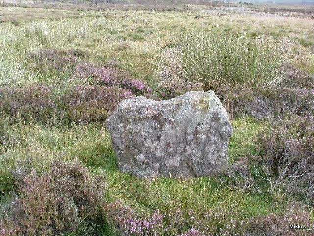
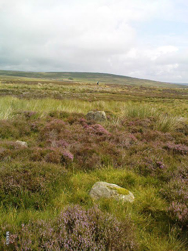
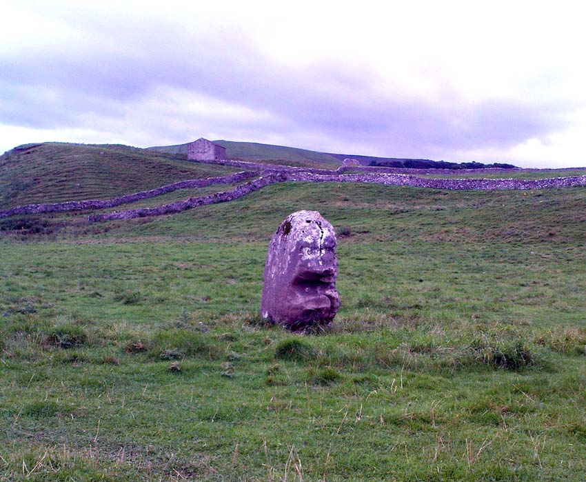
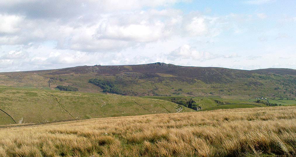
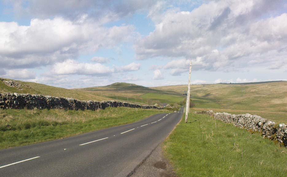
Fancarl Top, Appletreewick, North Yorkshire

Stone Circle:  OS Grid Reference – SE 06432 63048

Also Known as:

  1. Appletreewick Stone Circle

Getting Here

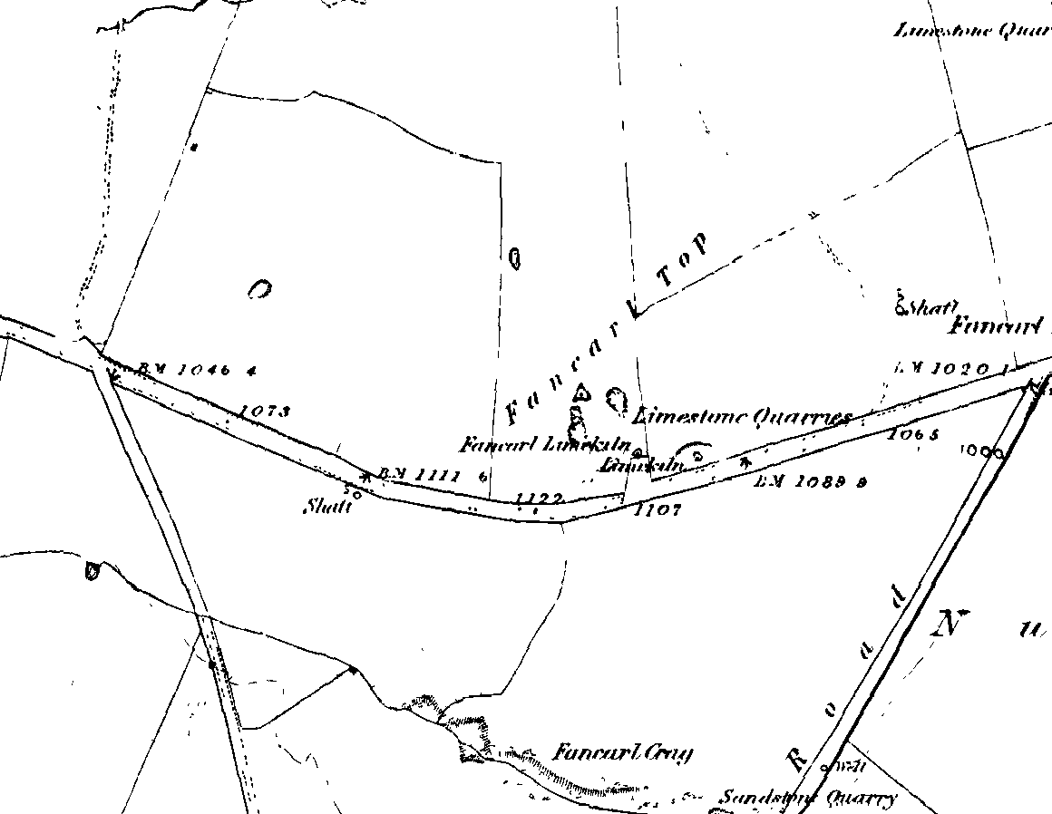
1st edition OS-map - the unmarked circle's near the middle
1st edition OS-map – the unmarked circle’s near the middle

Along the B6265 road between Grassington and Pateley bridge, heading east, past the hamlet of Hebden, a mile or so on where the road goes uphill, stop where it levels out a bit (before it goes further uphill to Stump Cross), a half-mile before the rocky outcrop of Nursery Knott on the left (north) side of the road.  A gate into the field on the same side is what yer after, with a small disused quarry therein.  Go up here to the quarry-top and then walk uphill for literally 100 yards and the curious small ring is right there.

Archaeology & History
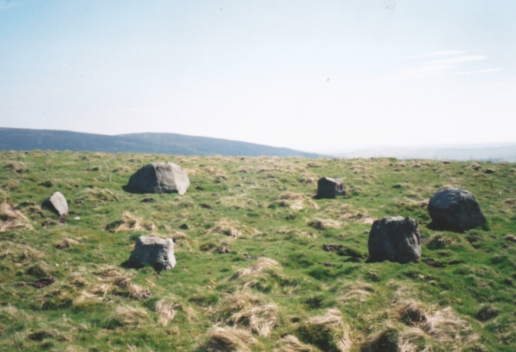
Appletreewick stone circle (courtesy Paul Daw)

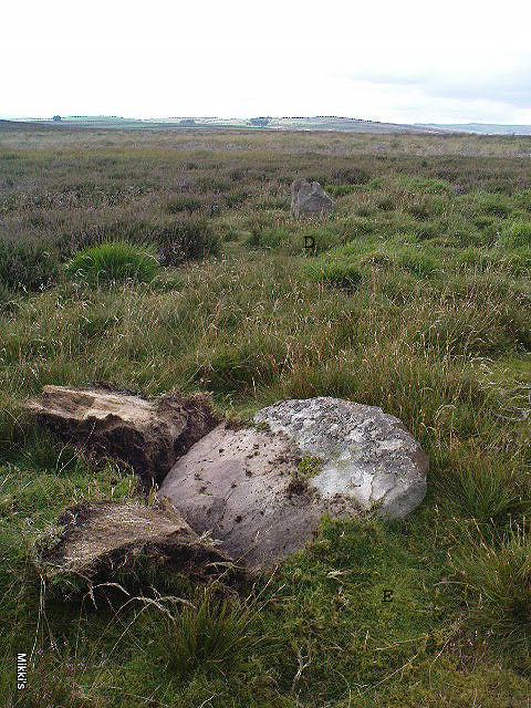
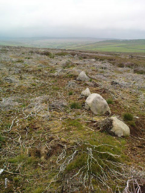
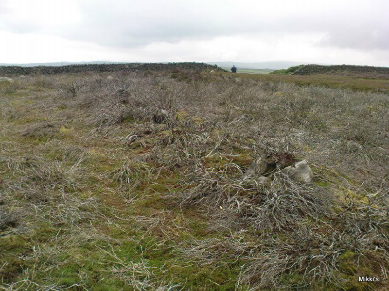
This small stone circle sitting on the grassy ridge overlooking the ritual rocks of Simon’s Seat and central Wharfedale to the south and the Yorkshire heathlands east and west, is probably not what it once was.  Overcome by the excess of industrial workings in the fields and moors all round here, it is probable that its present condition is far from its original state.  Indeed, if we move back to the 18th century, we find that place-name and map evidences tell us the site was a tomb.  The 1771 Greenwood map names the site as the Fancairn — an etymological curiosity in itself, possibly deriving from the ‘Windy Cairn’, which makes sense.  The place-name fell into its present title of ‘Fancarl’ after the great Ordnance Survey chaps came, heard dialect and went on their way…

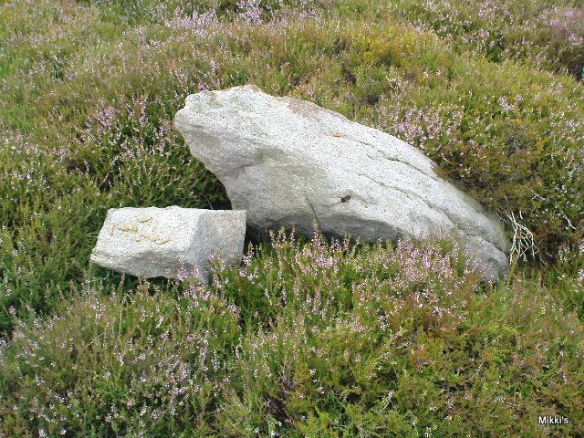
The largest rock in the ring (courtesy Paul Daw)

The circle doesn’t appear to have been noted by the great Yorkshire historians Harry Speight and Edmund Bogg in their literary rambles here (rather odd), but was brought to our attention first of all (in a literary sense anyway) by Arthur Raistrick. (1965) He first “surveyed” the site in 1950, but said little until a short remark was printed in the Yorkshire Archaeological Journal, where the notes told it to be one of “two stone circles, one with clear standing stones, 30ft in diameter, and the other a double circle of small recumbent stones, 12ft in diameter.”
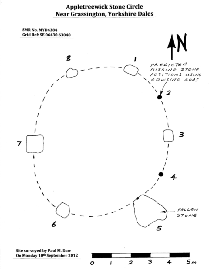
Ground-plan & missing stones (by Paul Daw)

The second, smaller double circle he mentions is probably a hut circle or cairn, faint traces of which are seen in the adjacent field.  Remains of a prehistoric enclosure were also once evident in the same field; and thankfully to the south (across the road) we can still find many examples of cup-and-rings at Skyreholme.

John Barnatt (1989) and Aubrey Burl (2000) include the site in their relative major surveys, with both of them citing the circle, of six small stones, to measure 8.5m by 7.5m.  The survey shown of this small stone ring was done by Paul Daw following his visit to the site on Monday 10th September 2012.

Folklore

Although we can only see six stones in this ring today, when the surveyor Paul Daw (2012) did a ground-plan of the place, he also did a dowsing survey of the site and found there were originally two extra stones on the eastern side of the circle. An archaeological dig would be interesting to see if post-holes or the remains of these two additional stones are under the turf.  He wrote:

My dowsing survey revealed that the stone circle measured 7.7 metres diameter (N-S) and 7.0 metres (E-W).  A reaction was received over the centres of stones 1, 3, 6, 7 and 8 indicating that they are still standing in their original positions, but stone number 5 to the south-south-east of the circle had a reaction at its northern end, which indicates that it was once standing but had fallen outwards. It is not therefore an earthfast stone, as speculated by A. Raistrick, when he visited the site.  The stone measures 1.65 m x 1.65 m x 800 mm and fans out like a shell from bottom to top. It would have been an impressive stone when standing, but was top heavy, and the most likely stone to fall.

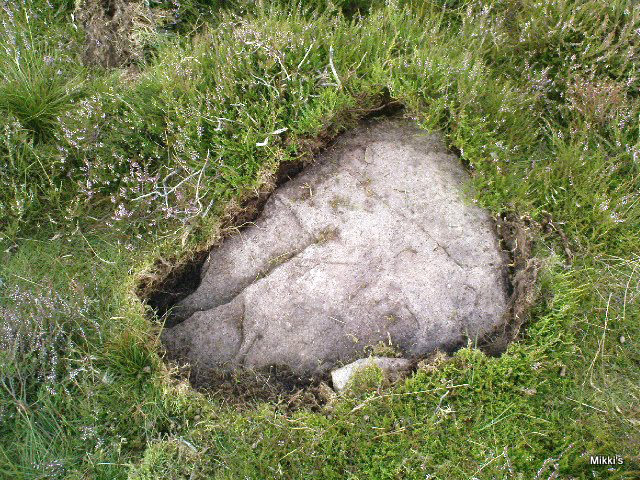
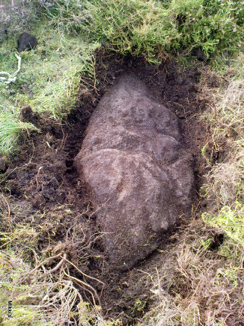
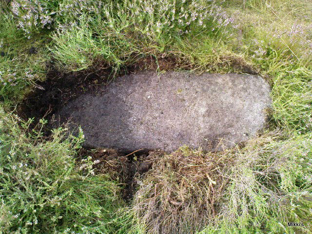
Stones 1, 3, 6, and 8 are all of a similar size, are much more stable, and stand at about 500 mm high.  Stone 7 in the western sector is 800 mm high, and measures 950 mm x 850 mm, and looks like a rectangular block, with slightly rounded edges.

I also obtained a reaction at positions 2 and 4, indicating that there were once stones standing in these positions. To the north of the stone circle there are a number of stones lying on the surface.  A. Raistrick suggested that there may have been another small stone circle in this area, but my dowsing rods did not detect anything, and it is probable that these are random stones lying on the surface.

This entire region is bedevilled with faerie, goblin and giant lore, plus creation myths of our peasant ancestors (Sutcliffe 1929) — some still living if you’re lucky enough to talk with the old folk, who might tell you a thing or two, or might not, depending on how you smell.

References:

  1. Barnatt, John, The Stone Circles of Britain – 2 volumes, BAR: Oxford 1989.
  2. Burl, Aubrey, The Stone Circles of Britain, Ireland and Brittany, Yale University Press 2000.
  3. Daw, Paul M., “Appletreewick Stone Circle, Yorkshire Dales,” unpublished survey report 2012.
  4. Raistrick, Arthur, ‘Yorkshire Archaeological Register 1964: Appletreewick, W.R.,’ in Yorkshire Archaeology Journal, volume 41, 1965.
  5. Smith, A.H., The Place-Names of the West Riding of Yorkshire – volume 6, Cambridge University Press 1963.
  6. Sutcliffe, Halliwell, The Striding Dales, Frederick Warne: London 1929.

AcknowledgementsHuge thanks to Paul Daw for his photos and survey of the site, and for sharing details of his dowsing results here.

© Paul Bennett, The Northern Antiquarian

Yarnbury Henge, Grassington, North Yorkshire

Henge:  OS Grid Reference – SE 01405 65413

Getting Here

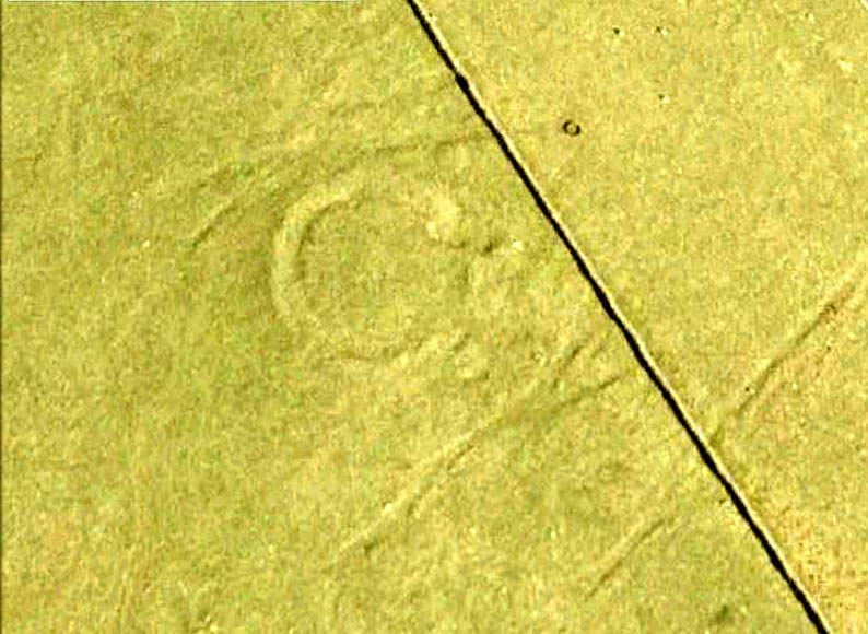
Yarnbury henge from the air

In Grassington, go up the main street and keep going uphill, out of town.  You’re on Moor Road now and it keeps going northeast for about a mile, where the small copse of trees grows just before Yarnbury House.  However, on the other side of the road (right) two field before you reach the house, you’ll notice a slightly raised elevation in the field, close to the wall.  A footpath runs right past it, so you shouldn’t have too much trouble finding it!

Archaeology & History

This is a fine, roughly circular neolithic monument, sat not-quite-on-the-heights, but still possessing damn good views all round (except immediately west), begging the question, ‘what on earth are you and why were you built here?’  Answers to which, we don’t really know.  But ascertaining its geomantic nature wouldn’t be too difficult for local people who have spent years visiting the site.  John Dixon (1990) mentioned how, in the winter months,

“the sun falls behind Pendle (Hill) providing it with a sky-red backdrop.  In my own view the site is related to the presence of Pendle…and may have been the major factor in the location of the monument.”

He may be right!  It has been suggested by one archaeologist (King et al, 1995) that the site was “most probably a wood henge” with upright rings of wooden posts that were built onto the central platform — but until we get a full dig here, we’re not gonna know.

N-NE section of henge
SW section of the henge

Found close to an extensive amount of other prehistoric remains in the area (dating from the neolithic to Iron Age), this henge monument is notable for its size, as it’s only a little fella!  It’s like a mini-version of the Castle Dykes henge near Aysgarth, 14 miles to the north!  First mentioned as a ‘disc barrow’ in 1929, J. Barrett (1963) added the Yarnbury Henge to the archaeological registers 32 years later, citing it as a “circular platform 60-63 ft diameter, surrounded by a ditch 20ft wide (crest to crest) and an outer bank.”  A couple of years later D.P. Dymond (1965) described the henge in slightly more detail, telling:

“At Yarnbury, just over one mile north-east of Grassington there is an earthwork 116ft in diameter overall, consisting of a ditch with external bank.  On surface inspection the earthwork appeared to have the characteristics of a henge monument.  An excavation carried out in July 1964 , by an archaeological summer school based on Grantley Hall, proved this thesis.  There was no trace of an internal mound and the entrance to the southeast was obviously  original.  No traces were found of any sort of internal structure, and a square pit in the centre of the circle had been caused by an excavation earlier this century.  The ditch was rock-cut and the bank of simple dump construction.  No dating evidence was found… With its single entrance the Yarnbury henge falls into Atkinson’s Class 1.”

SW area of the henge

In recent years it seems that some damage has been done by digging into the east and southeastern sections of the henge.  Summat we hope doesn’t get any worse.  In the field on the other side of the road we found traces of prehistoric enclosure walling (along with a curious, large, almost cursiform shadow, 44 yards across and running 110 yards NE), typical of the extensive settlement remains found less than a mile away at Lea Green and High Close Pasture, Grassington.  It’s an impressive area, well worth checking out!

References:

  1. Barrett, J., “Grassington, W.R.,” in Yorkshire Archaeological Journal, part 161, 1963.
  2. Beck, Howard, Yorkshire’s Roots, Sigma: Wilmslow 1996.
  3. Dixon, John & Phillip, Journeys through Brigantia – volume 2: Walks in Ribblesdale, Malhamdale and Central Wharfedale, Aussteiger Publishing: Barnoldswick 1990.
  4. Dymond, D.P., “Grassington, W.R.,” in Yorkshire Archaeological Journal, part 163, 1965.
  5. Harding, A.F., Henge Monuments and Related Sites of Great Britain, BAR 175: Oxford 1987.
  6. Harding, Jan, The Henge Monuments of the British Isles, Tempus: Stroud 2003.
  7. King, Alan, et al, Early Grassington, Yorkshire Archaeological Society 1995.
  8. Wainwright, G.J., “A Review of Henge Monuments in the Light of Recent Research,” Proceedings of the Prehistoric Society, volume 35, 1969.

© Paul Bennett, The Northern Antiquarian


Dumpit Hill Enclosure, Hebden, North Yorkshire

Enclosure / Settlement:  OS Grid Reference – SE 02884 64062 —  NEW FIND

Getting Here

Line of enclosure walls

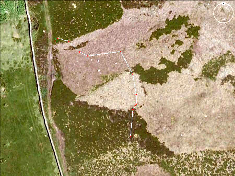
Follow the same directions to get to the Dumpit Hill A stone circle; but instead when you get to the point where you need to walk off-track and into the heather to get to the circle, keep walking up the dirt-track for about another 200 yards, watching diligently thereby for a reasonable sized, fallen, “standing-stone”-like character just yards into the heather on your right (on your left, there’s a U-shaped dip where the wall is).  This is the northern edge of the walled enclosure.  From this fallen ‘standing stone’ follow the overgrown walling along carefully into the heather along and down the slight slope.  You’re now either on the very edge, or perhaps going into the middle of the enclosure.  Look around!

Archaeology & History

East section of walling

There’s no previous written history of this site, discovered for the first time last week on our sojourn to the Dumpit Hill stone circles, by Michala Potts.  She didn’t seem too excited by it at the time, but an amble back to what she’d found got me going! (easily done) With the help of the heather being burned away, open and exposed was a distinct line of prehistoric walling — perhaps Bronze Age, perhaps later.  It’s hard to tell.

Structurally similar to the enclosure walling at Horse Close and Rough Haw, either side of Skipton, a few miles to the south, here we have about 100 yards of walling seeming to enclose the eastern side of the small hilltop, but running into the heather on its southern edge and the moorland track on its northern side, where it disappears again, leaving no trace of what one would assume would be a consistent western section.

From the grid reference for the site, the line of walling runs northwards for about 20 yards before taking a very slight shift in direction for another 20 yards.  Here the walling goes to the left (west) for another 20 yards, before edging slightly northwest and back into the heather.  A section of the walling is visible at each end, though we lose any accurate trace of it after a short distance in the long heather.  However, at the northwestern point in the enclosure walling, a very distinct long stone about 4 feet high leans at an angle in the ling.  It seems apparent that this stone at one point in the not-too-distant past stood upright, making it the tallest stone here.

Northern section of walling
Fallen monolith?

What may be other features can be seen inside this enclosure section: a possible hut circle and other portions of walling were noted.  However, we didn’t spend much time exploring the site in detail, so there is a high probability of other prehistoric remains in and around this enclosure awaiting discovery.  The site’s proximity to the stone circles of Dumpit Hill A and Dumpit Hill B should be noted; along with what the North Yorkshire’s Historic Environment Officer, Robert White, said were “three, possibly four small circular enclosures (about 9m in diameter)” a short distance away.  A further survey of the site is necessary to enable us a better picture of what we’re looking at here.

© Paul Bennett, The Northern Antiquarian

Dumpit Hill B, Hebden, Grassington, North Yorkshire

Stone Circle:  OS Grid Reference – SE 0307 6406

Getting Here

Follow the directions to reach the Dumpit Hill A circle.  From here walk about 100 yards ENE till you see an arc of small upright stones.  If the heather’s in full growth it’s highly unlikely you’ll see anything; but if the heather’s been burnt away, the site’s worth looking at.

Archaeology & History

As with the small companion Dumpit Hill A circle more than 100 yards to the southwest, this site of similar dimensions was first reported by Arthur Raistrick in 1963, and then described — albeit briefly — in H.G. Ramm’s “Yorkshire Archaeological Register” for 1964, as “33ft in diameter. One third of the circle robbed but other stones standing.”  And apart from that (with a repeat of the same info in Burl’s [2000] magnum opus) little else has been said.  But there’s quite a bit more to this place than what our mentors have written…

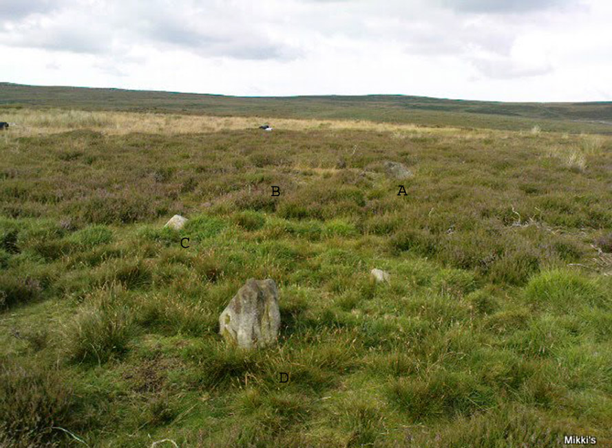
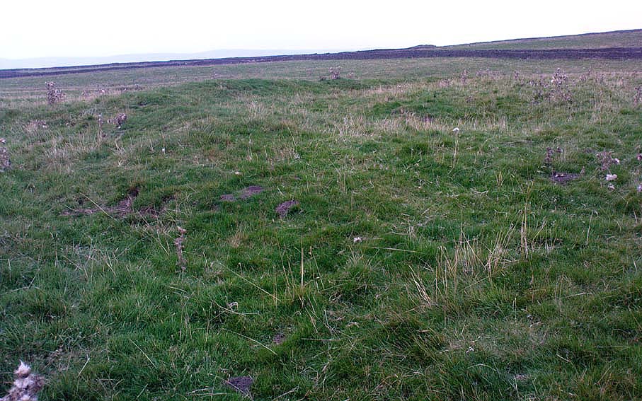
Northern arc of circle, with stones A, B, C & D
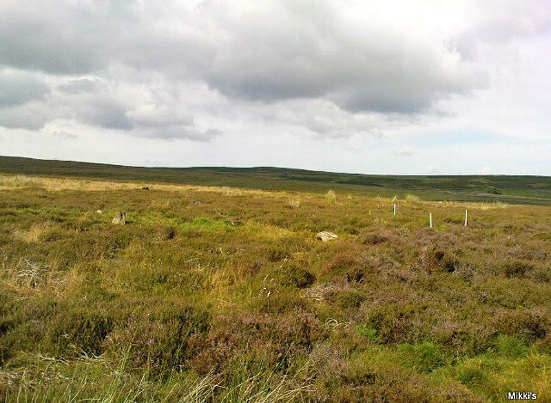
Dumpit B Stone Circle (white sticks showing position of stones)

In a team visit to the site last week, it was Paul Hornby who called our attention to Dumpit Hill B.  Thankfully the heather had been burnt back several months earlier, fortunately allowing us a better assessment of the place than Mr Raistrick’s initial survey forty years ago.  Instead of just the 3 stones that he found here, we uncovered a near-complete ring of eight stones, arranged in a pretty decent circle (Alexander Thom would have classed it as a Type 1 circle).  Paul’s attention was first drawn to an arc of three obvious upright stones and another laid down along the same arc.  This arc then turned out to be a semicircle when he found another stone laid half-covered in the peat.

Western stones D & E
Stone F

But then it seemed, if this was an authentic stone circle, we were gonna struggle to see the rest of it as the deep heather had grown up over the southern side of this semi-circle of stones.  But thankfully, with just a little bit of stomping on the ground in the right areas, three other stones of similar size and stature were located and within just a few minutes this small arc of stones had become a full prehistoric ring — except perhaps on the eastern side, where there was a distinct gap in the monument.  Michala Potts and Paul did come across a couple of stones in this “missing” section, but they were just small rocks and didn’t account for an expected 9th stone.  If such a stone ever stood at this eastern point in the circle, it remains unfound.

Two of the stones (G & H) that were initially covered in heather, after we’d carefully peeled the vegetation back, had what seems like small packing stones at one end, where it seemed obvious they had stood upright.  It was tempting to carefully stand each stone back up into position, but we managed to overcome the temptation!  None of the stones are higher or longer than 3 feet.  At least three of them seemed to have been set along their longer axis rather than being set in the tall upright position — but again, this needs verifying by excavation.  (With good evidence, some students posit that upright stones are male; rounded, wider stones are female — though such a lay-out here seems unlikely)

Stone G
Stone H

An additional curiosity was found in the middle of the circle, where there was a small but distinct scattering of stones, very much like a denuded cairn.  If this turns out to be the case (as seems likely) it’d mean a new classification for this monument.  We could do with having another look at this place the next time the heather’s been burnt away, enabling us to find out more about its nature and function.

…And if you walk west down the slight slope, over the couple of small drainage-ditch streams (which they really should stop cutting into our moorlands) and then up the slight slope towards the trackway, stopping some 20 yards before it, you’ll find you’ve walked right into the middle of a previously undiscovered Bronze Age enclosure, or settlement: the Dumpit Hill enclosure.  It’s pretty impressive aswell! (more on that in due course)

References:

  1. Burl, Aubrey, The Stone Circles of Britain, Ireland and Brittany, Yale University Press 2000.
  2. Ramm, H.G., “Yorkshire Archaeological Register, 1964,” in Yorkshire Archaeological Journal, part 163, 1965.

ACKNOWLEDGEMENTS: Huge thanks again to Dave Hazell, Paul Hornby and Michala Potts in seeking out & helping with this and the adjacent sites!

© Paul Bennett, The Northern Antiquarian


Dumpit Hill A, Hebden, Grassington, North Yorkshire

Stone Circle:  OS Grid Reference – SE 0299 6399

  1. Hebden Stone Circle
  2. MYD4403

Getting Here

Main stone in this circle

From Grassington, head east along the B6265 road for a mile or so, thru the hamlet of Hebden and, once up the hill on the other side of the village, take the track up your left and walk up until the land just about levels out and the moorland opens up on the right-hand side of the track.  If you’ve got the trackway which takes you to Scar Top House on your left (where the walling breaks), head straight into the heather and walk about 150 yards NE, keeping your eyes peeled for a singular upright, less than 3ft high.  Once here, check the small overgrown ring you should be stood in!

Archaeology & History

A relatively small site that can be difficult to see when the moorland heather’s in full growth — but it’s in a lovely setting, with a hidden view of the hills for nearly 360°, yet quietly hidden from prying eyes until you’re all but upon the place.  Although it has a likely Bronze Age pedigree (it aint yet been excavated), it was ignored by the confines of written history until Arthur Raistrick brought it back to life in a brief note in the Yorkshire Archaeological Journal of 1965 when Mr H.G. Ramm told what he’d found, described it simply as,

“32ft in diameter, 5 stones still stand leaving spaces where other stones have been taken for walling.  A large stone is flat at the centre.”

Alignment east: ring, outlier, human, hill!

And that’s that!  No doubt the remarks about some stones taken from here to be used in some walling were told Raistrick by a local, but he says no more about this.

The main feature to see in this small ring is the flattish, wide upright, less than three-feet high, on the eastern side.  A smaller upright stands in half-boggy Juncus grasses as you spin round towards the north, with a smaller stone laid on the ground in between.  Originally it appears there were at least eight standing stones making up this circle.  If you walk around it you’ll make out several of the other stones laid down.  About 30 yards due east of the tallest upright in the ring is another small outlying standing stone.  And, less than 100 yards northeast from this outlier, we come across the equally small, little-known stone circle of Dumpit Hill B

References:

  1. Burl, Aubrey, The Stone Circles of Britain, Ireland and Brittany, Yale University Press 2000.
  2. Dixon, John & Phillip, Journeys through Brigantia: volume 2 – Walks in Ribblesdale, Malhamdale and Central Wharfedale, Aussteiger: Barnoldwick 1990.
  3. Raistrick, Arthur, Prehistoric Yorkshire, Dalesman: Clapham 1972.
  4. Ramm, H.G., “Yorkshire Archaeological Register, 1964,” in Yorkshire Archaeological Journal, part 163, 1965.

© Paul Bennett, The Northern Antiquarian

Linton Church, Grassington, North Yorkshire

‘Standing Stone’:  OS Grid Reference – SE 00426 63176

Getting Here

Pretty easy really. Get to the ancient St. Michael’s Church on the dead-end road just outside of Linton village.  As you approach it, look into the field on your right.  Y’ can’t miss it!

Archaeology & History

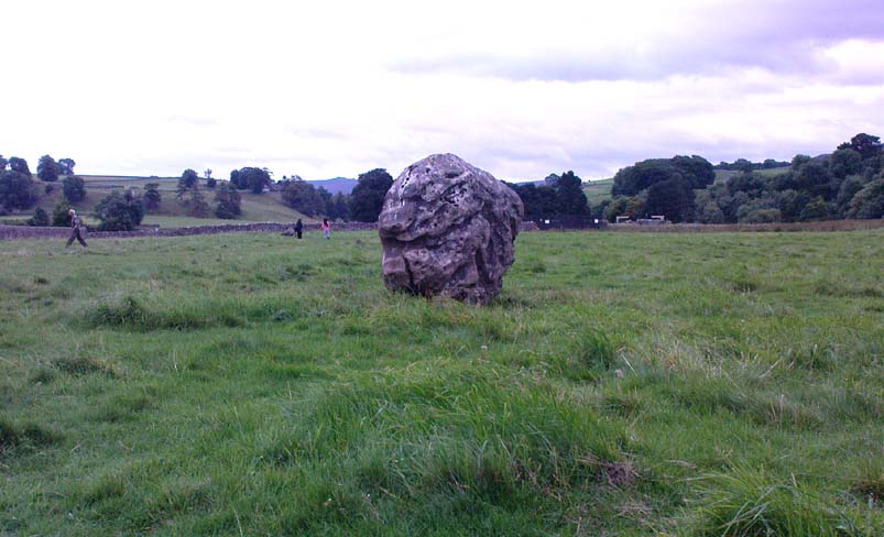
Linton 'Standing Stone'
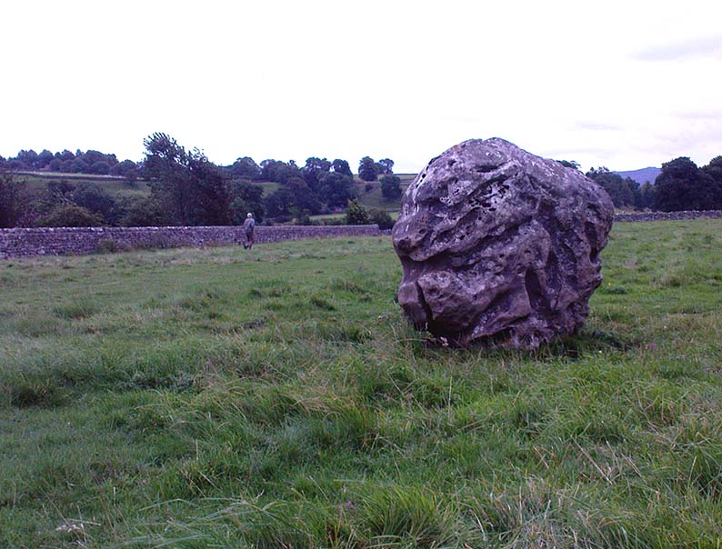
Linton ‘Standing Stone’

This is an oddity.  It could perhaps be little more than one of the Norber erratics found a few miles further north — but it looks more like a smaller version of one of the Avebury sarsens!  Just under six-feet tall, it was shown to me by Adrian Lord yesterday (when the heavens subsequently opened and an outstanding downpour-and-half followed), who’d come across it only a week or two earlier themselves when they visited the ancient church next door.  The stone certainly aint in any archaeology registers (no surprise there); and as one local man we spoke to yesterday told us, “there used to be several other standing stones in the same field, cos I remember ’em when I was a kid. ” The gent we spoke to seemed to know just about everything about the local archaeology and history of the area (one of those “damn good locals” you’re sometimes lucky to find!).  He told us that the other stones which used to be there had been moved by the local farmer over the years, for use in his walls.  So it seems that this is the last one standing.  What looks like several other fallen stones can be seen further down the field, just next to the church.  But this one’s pretty impressive.

Close-up of gnarled rock
Looking south-ish!
Looking south-ish!

The church of St. Michael next door was, tells the information inside, built upon some old pagan site — which gives added thought to this upright stone perhaps being the ruin of an old circle, or summat along those lines.  The church, incidentally, is built right next to the River Wharfe.

Not far from here we find an almost inexhaustible supply of prehistoric remains at Grassington and district (less than a mile north).  A huge excess of Bronze- and Iron Age remains scatter the fields all round the town.  And aswell as the Yarnbury henge close by, there is — our local man told us,  “another one which no-one knows abaat, not far away”!

Folklore

The folklore of this area is prodigious!  There is faerie-lore, underworld tales, healing wells, black-dogs, ghosts, earthlights – tons of the damn stuff.  But with such a mass of prehistoric remains, that aint too surprising.  And although there appears no direct reference to this particular stone (cos I can’t find a damn reference about it), the old Yorkshire history magus, Harry Speight (1900), wrote of something a short distance away along the lane from the church.  He told that,

“In the field-wall beside the road may be seen some huge glacial boulders, and there is one very large one standing alone in the adjoining field, which from one point of view bears a striking resemblance to a human visage; and a notion prevails among the young folk of the neighbourhood that this stone will fall on its face when it hears the cock crow.”

Just the sort of lore we find attached to some other standing stones in certain parts of the country.  And in fact, from some angles, this ‘ere stone has the simulacrum of a face upon it; so this could be the one Speight mentions (though his directions would be, unusually, a little out).

There are heathen oddities about the church aswell: distinctly pre-christian ones.  An old “posset-pot” was used for local families to drink from after the celebration of a birth, wedding or funeral here.  And at Hallowtide – the old heathen New Year’s Day,

“certain herbs possessed the power of enabling those who were inclined to see their future husbands or wives, or even recognizing who was to die in the near future.”

And in an invocation of the great heathen god (the Church called it the devil), Speight also went on to tell that:

“The practice at Linton was to walk seven times round the church when the doomed one would appear.”

In a watered down version of this, local people found guilty of minor transgressions in and around Linton (thieves, fighters, piss-heads, etc),

“was compelled to seek expiation by walking three time around Linton Church.”

Linton stone05This would allegedly cure them of their ‘sins’!  Rush-bearing ceremonies were also enacted here.  On the hill above, the faerie-folk lived.  And until recently, time itself was still being measured by the three stages of the day: sunrise, midday and sunset; avoiding the modern contrivances of the clock, and maintaining the old pre-christian tradition of time-keeping.  Much more remains hidden…

References:

  1. Speight, Harry, Upper Wharfedale, Elliott Stock: London 1900.

© Paul Bennett, The Northern Antiquarian

Simon’s Seat, Skyreholme, North Yorkshire

Sacred Hill:  OS Grid Reference – SE 0788 5981

Getting Here

Simon’s Seat in the centre & the Lord’s Seat immediately east

Tons of ways here.   To those who drive, take the Grassington-Pateley Bridge (B6265) road and a couple of miles past the village of Hebden, you’ll see the high rocks climbing on your southern horizon, with another group of rocks a few hundred yards along the same ridge.  That’s it!

Archaeology & History

This is an awesome site, full of raw power. It commands a brilliant view all round, but it is the north which truly draws the eye’s attention. Beneath the great drop of this huge outcrop is the haunted and legendary Troller’s Ghyll. The scent of as yet undisclosed neolithic and Bronze Age sites purrs from the moors all round you and there can be little doubt that this was a place of important magick in ancient days.

What seems to be several cup-markings on one of the topmost rocks are, to me, authentic. Harry Speight mentioned them in his 1892 work on the Craven and Northwest Yorkshire Highlands – but there are a number of other rocks in this giant outcrop with “possibles” on them.

Folklore

The name of this great rock outcrop has long been a puzzle to historians and place-name experts.  One tale that was told of Simon’s Seat to the travelling pen of one Frederic Montagu in 1838, told that,

“It was upon the top of this mountain that an infant was found by a shepherd, who took it to his home, and after feeding and clothing it, he had the child named Simon; being himself but a poor man, he was unable to maintain the foundling, when it was ultimately agreed to by the shepherds, that the child should be kept “amang ’em.”  The child was called Simon Amangham and the descendants of this child are now living in Wharfedale.”

The usually sober pen of Mr Speight thinks this to have been one the high places of druidic worship, named after the legendary Simon Druid. “It is however, hardly likely,” he wrote, “that he ever sat there himself, but was probably represented by some druidical soothsayer on whom his mystic gifts descended.”

I’ve gotta say, I think there’s something distinctly true about those lines. Visit this place a few times, alone, during the week, or at night – when there’s no tourists about – and tell me it isn’t…

References:

  1. Bogg, Edmund, Higher Wharfeland, James Miles: Leeds 1904.
  2. Montagu, Frederic, Gleanings in Craven, Simpkin Marshall: London 1838.
  3. Speight, Harry, The Craven and Northwest Yorkshire Highlands, Elliott Stock: London 1892.

© Paul Bennett, The Northern Antiquarian

Nursery Knot, Appletreewick Moor, North Yorkshire

Sacred Hill:  OS Grid Reference – SE 081 636

Also known as:

  1. Nursa Knott
  2. Nursery Hill

Getting Here

Dead easy.  Follow the Grassington-Pateley Bridge road (B6265) east and about 2 miles past Hebden village, the craggy hill rises to the left-hand side of the road, as you can see in the photo below.  Simple!

Archaeology & History

Nursery Knott hill
Nursery Knott hill

When fellow rock-art freaks Graeme Chappell, Richard Stroud and I were exploring the cup-and-ring stones in the area just south of here a few years back, this hill kept calling out with some repeated awe. “There’s summat about that place,” were the remarks we kept saying – but we could never put our finger on it. (still haven’t if truth be had!).  Between here and the awesome Simon’s Seat to the south, a whole panoply of neolithic and Bronze Age remains scatter the land — and if ritual landscape has any validity, this hill is undoubtedly enmeshed in the mythic framework of such a paradigm. But without any folklore I didn’t feel right to include it here…

At the northern or rear-end of this great outcrop (SE 082 640) is a scattering of many boulders, one of which in particular at Knot Head was explored by a Mr Gill in 1955 and found to have a number of Mesolithic worked flints all round it. Seems as if folk have been up to things round here for even longer than we first thought.  Microlith or flint-hunters would probably do well on the moors up here!

Folklore

It’s the old pen of our Yorkshire topographer Edmund Bogg which brings the lost folktale of this place back to life – and it’s typical of aboriginal creation myths from elsewhere in the world. In his Higher Wharfeland he had this to say of old ‘Nursa Knott’, as it was locally known:

“The old legend is that the devil, for some reason anxious to fill up Dibb Gill,* was carrying these ponderous crags in his apron when, stumbling over Nursa Knott, the strings broke and the crags fell. Legend also says, should the crags be removed they will be carried by some invisible power back to their original position.”

He then reminds us of links with old Wade, plus the settlement of old Grim, a short distance to the north.

Across the road down the track running south to Skyreholme, Jessica Lofthouse ( 1976) told the tale of a ghostly horseman, seen by her great-grandfather no less! Suggesting he may have been ‘market merry’ (i.e., pissed!), she told how he “struck out at a spectral white horse at the Skyreholme three-land ends near Appletreewick – and his stick passed through it!”

References:

  1. Bogg, E., Higher Wharfeland: The Dale of Romance, James Miles: Leeds 1904.
  2. Lofthouse, Jessica, North Country Folklore, Hale: London 1976.
  3. Walker, D., ‘A Site at Stump Cross, near Grassington, Yorkshire, and the Age of the Pennine Microlithic Industry,’ in Proceedings of the Prehistoric Society, 1956.

* Dibb Gill is nearly a mile due west of here – and Dibble’s Bridge which crosses the beck was also known as the Devil’s Bridge, with a few typical creation myths of its own attached.

© Paul Bennett, The Northern Antiquarian