Cairn: OS Grid Reference – NN 6539 0985
Getting Here
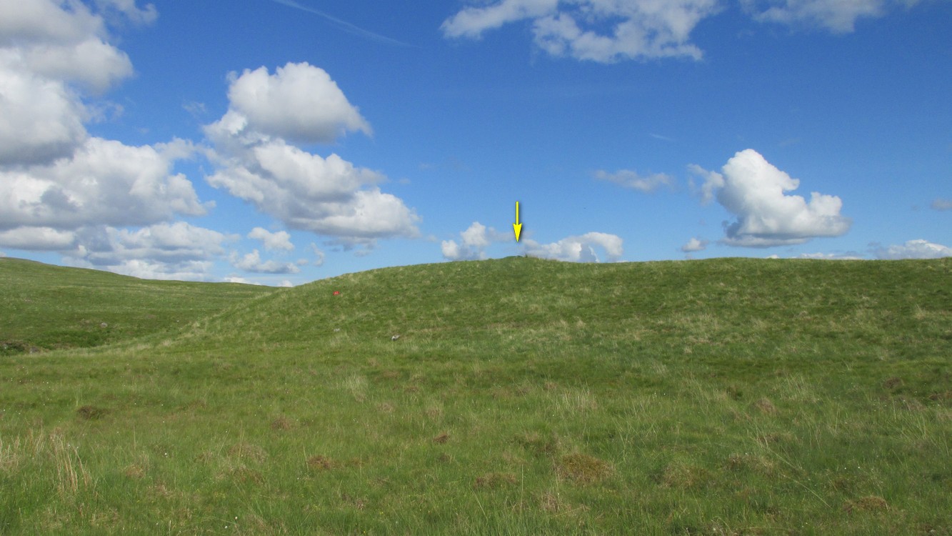
This is a helluva long way to walk to find such a small site, but the landscape makes it all the worthwhile. So… From Callander, head up the Bracklinn Falls road, going past the car-park there and on for 1½ miles, watching for the track on your left where you park-up. Walk down the track, over the river, then uphill until another track veers to your left. Follow this for nearly a mile until meeting another track that veers right. 4-500 yards along, on the same side as the burn on your left, the hill slopes up where a small grassy mound sits on its ridge. That’s it.
Archaeology & History
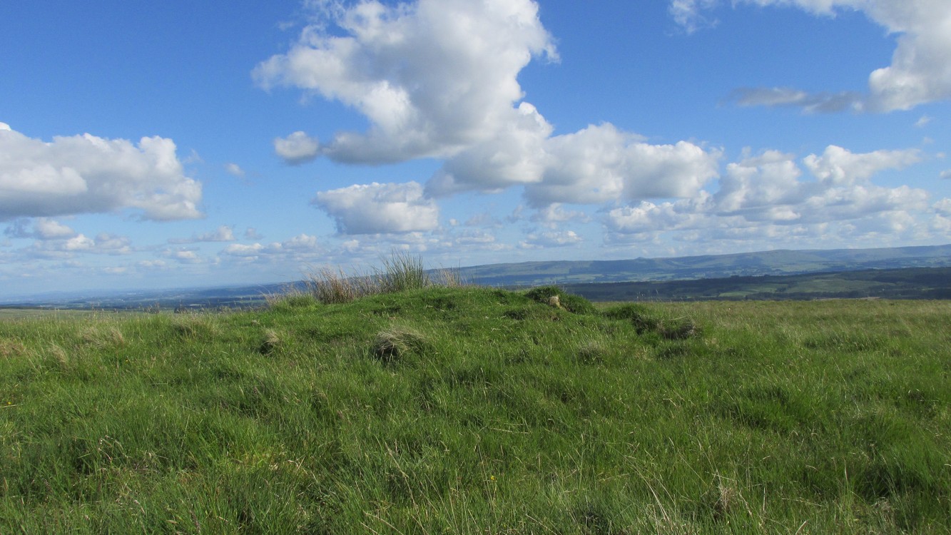
This site is likely to be of interest only to the hardcore antiquarians amongst you. It’s a small singular cairn sitting on a small hillock of once woodland-clad grasslands, a few hundred yards east of the much-ruined chambered cairn of West Bracklinn. Much of it is covered in vegetation, but sections of its stone structure are visible mainly on its south sides. Measuring 6 yards across and less than a yard high, it has been classed by Historic Scotland as Bronze Age in nature, although no excavation has been done here.
Reference:
- Royal Commission Ancient & Historical Monuments of Scotland, Braes of Doune: An Archaeological Survey, RCAHMS: Edinburgh 1994.
Links:
© Paul Bennett, The Northern Antiquarian