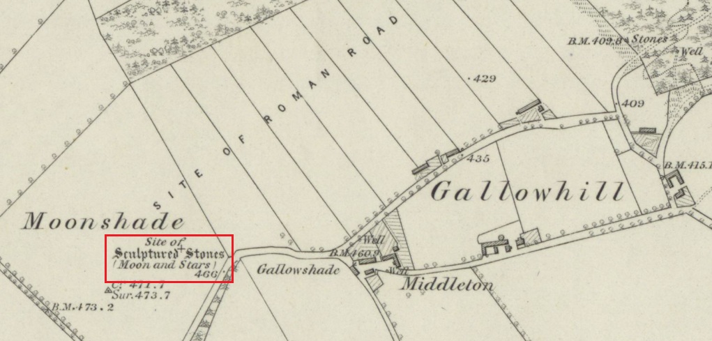
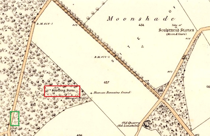
Healing Well: OS Grid Reference – NO 15858 35587
Also Known as:
- Canmore ID 28478
- Gallowshade
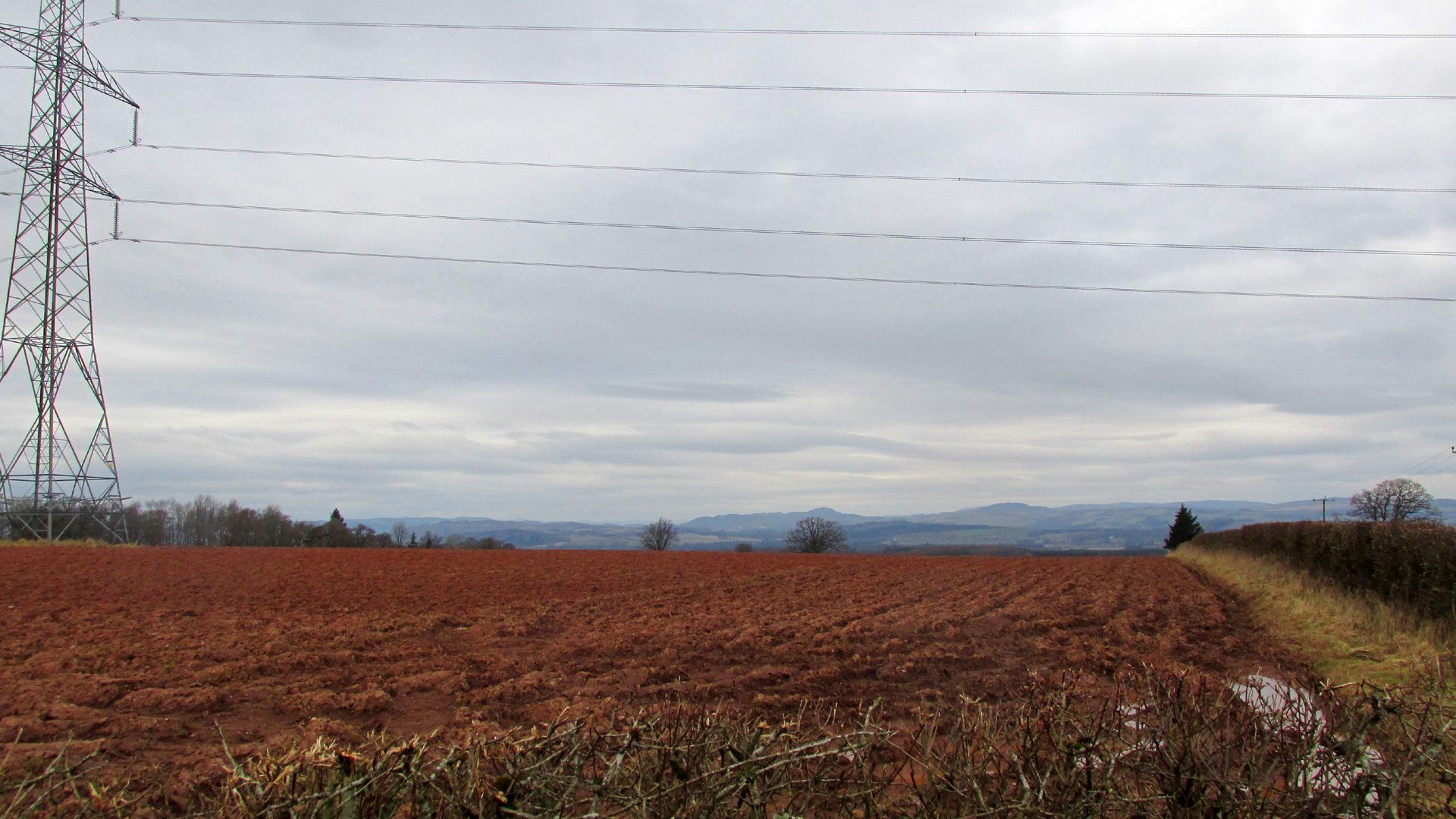
Turn right off the A93 at Cargill onto the side road by Keepers Cottage and up the hill to Gladsfield Wood at the top on your right. Park up at the top side of the Wood and walk straight along the narrow track for around 450 yards until you get to where another track crosses it and turn left along this track and head for the electricity pylon. The well is immediately to the left (north-east) of the pylon.
Archaeology & History
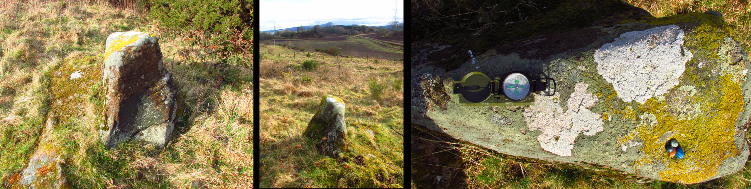
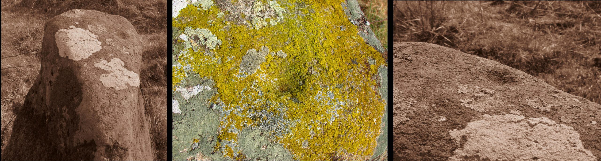
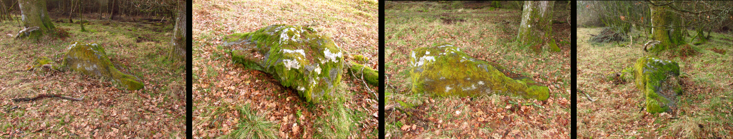
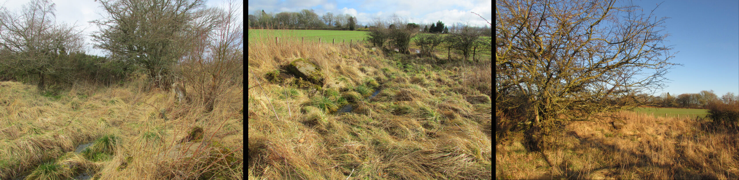
On my first visit I got the impression this weed-choked pool may once have been a holy well. There are stones on the north east side of the pool, some of which look to have been shaped, which may have formed part of a walled enclosure or part of the adjacent Roman road; or they may only be field clearance boulders. There is the tell-tale gnarled hawthorn tree with the thick stump of a what has been a much larger hawthorn next to it. And folklore of a hangman to explain the ‘Hangie’s’ name.
Andrew Jervise, writing in 1863, told that,
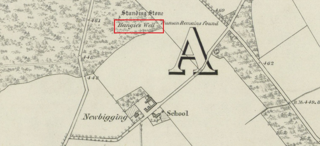
“About three hundred yards from the Parish schoolhouse, an old well, now partly filled up, Hangie’s Well, near which, it is said, the parish hangman dwelt, and where, some fifty or sixty years ago, a quantity of human bones were discovered”
But what was going on here before this hangman stalked the land? The well—a spring actually—is at the top of the ridge above the Tay beside the Muthill to Kirriemuir Roman road (the most northerly Roman road in the Empire apparently, says Ivan Margary), and so would have been a welcome stopping point for men and horses using that road; and this being the Roman Empire, the well may have acquired some cultic significance.
In the mediaeval period the Cistercian monks of Coupar Angus built their own Abbey Road adjacent to the well which went from their Tayside estate at Campsie to the Abbey, and which would again have been a welcome stopping point for monks and pilgrims. In the parish there was a local cult of a St Hunnand, this name being thought to be a corruption of Adamnan (and if Adamnan can be corrupted through oral tradition to ‘Hunnand’ then Hunnand can be corrupted to ‘Hangie’?). If this was once a holy well that continued to be venerated after the Reformation, did the wily Presbyterians ‘taint’ it by coming up with a tale of an executioner using it to wash the blood of his victims off his hands? But enough of this speculation, in the absence of proof it must just remain plain old Hangie’s Well! When you’re in the area, give it a look and see what you think.
Folklore
This story was given by the locals to the Ordnance Survey inspectors around 1860:
‘A small well a little to the south west of Gallowhill. According to the tradition of Mrs. Manson & Boyd the Executioner made use of this well for washing his hands after he had performed his duty towards criminals that were condemned to be executed on Gallowshade.’
William Rose writing in the New Statistical Account of 1845:
‘Near the Village of Gallowhill is a field called the Gallowshade, which was a place of execution under the feudal system. And in a field about 100 yards north from the school house is a well, said to have been used by the executioner for washing his hands after being engaged in his bloody work, and which still goes by the name of “Hangie’s Well.”‘
References:
- Bannerman, J.P., Parish of Cargill, The Statistical Account of Scotland, Vol. XIII, 1794
- Forbes, Alexander P., Kalendars of Scottish Saints, Edmonston & Douglas, Edinburgh, 1872
- Jervise, Andrew, Memorials of Angus & Mearns, A & C Black, Edinburgh, 1861
- Mackinlay, James M., Folklore of Scottish Lochs and Springs, William Hodge, Glasgow, 1893
- Map of Monastic Britain – North Sheet, Ordnance Survey, 1955
- Margary, Ivan D., Roman Roads In Britain, 3rd. Edition, John Baker, London, 1973
- .Ordnance Survey Name Book Perthshire Vol. XV, 1859-62
- Rose, William C. Parish of Cargill, New Statistical Account of Scotland, Vol.X, 1845
Acknowledgements: Big thanks for use of the 1st edition OS-map in this site profile, Reproduced with the kind permission of the National Library of Scotland.
© Paul T Hornby, 2021