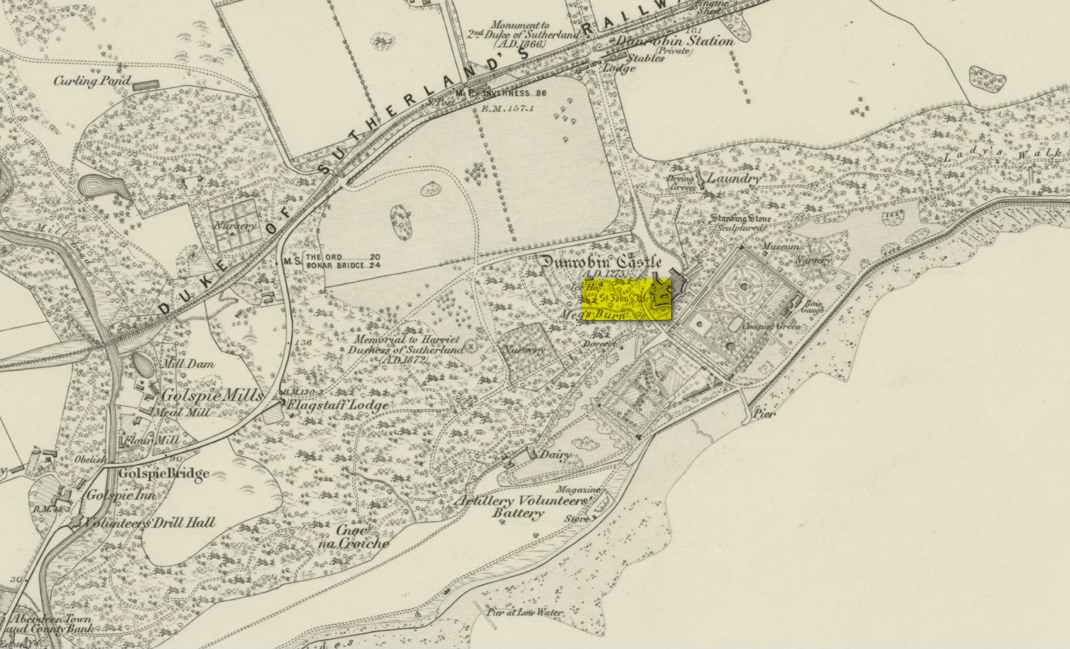
Holy Well: OS Grid Reference – NC 8505 0081
Archaeology & History
Very little has been written of this site due to the fact that little seems to known about it. A few of the usual ‘official’ on-line catalogues mention it but information on the site is truly scant. It is shown on the earliest Ordnance Survey map of the region and the same cartographers describe it in the Ordnance Name Book (1873), saying briefly how St John’s Well,
“Applied to a very deep pump well situated in the court of the ancient portion of “Dunrobin Castle”. No information respecting the dedication or origin of this name can be obtained in the District.”
But an earlier reference than this is cited in Fraser’s (1892) work, telling us that,
“In the midst of the court within the castle there is one of the deepest draw-wells in Scotland, all lined with ashlar-work, which was built and finished before the house was begun. The well was known as that of St. John. In the year 1512 sasine (i.e. delivery of feudal property) of the earldom and castle was taken at the well. At other times sasine was taken at the castle, at its gates, or near the well.”
Subsequent to this, we read in Cumming’s (1897) definitive folklore work of the region how,
“(it) looks as if there had been a chapel of St. John on Drumrabyn. In that case it may have been one dependent upon Kileain (=Kirk of John) on Loch Brora, which was only ½ a mile further than Kilmalin.”
Having not visited the castle, I’m unsure whether or not the well can still be seen. Does anyone know…?
References:
- Cumming, Anna & Bella et al, Golspie – Contributions to its Folklore, David Nutt: London 1897.
- Fraser, William, The Sutherland Book – volume 1, Edinburgh 1892.
Acknowledgements: Big thanks for use of the 1st edition OS-map in this site profile, Reproduced with the kind permission of the National Library of Scotland.
© Paul Bennett, The Northern Antiquarian