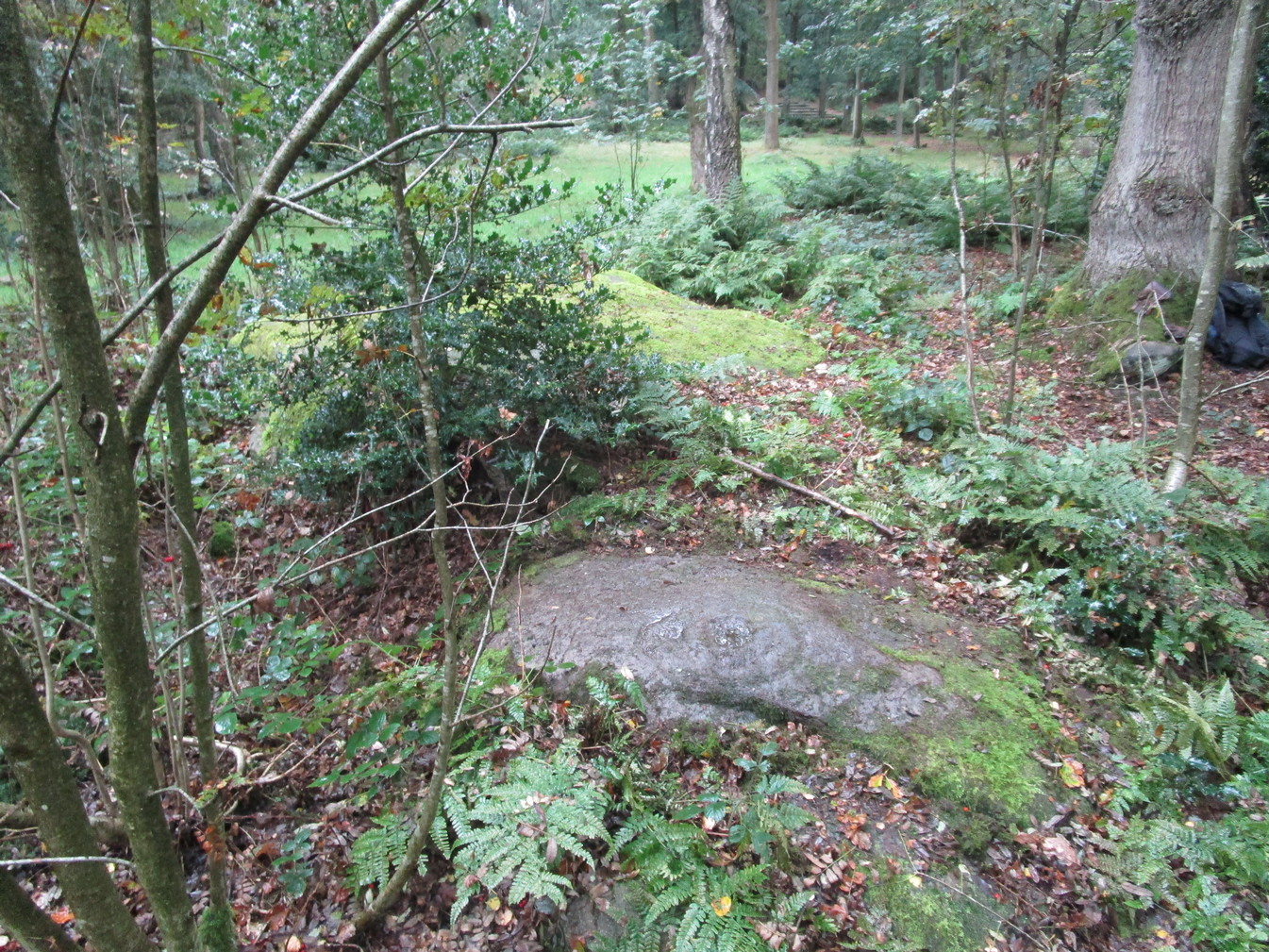
Cup-and-Ring Stone: OS Grid-Reference – SE 09843 37869
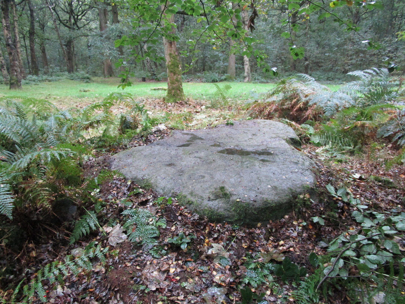
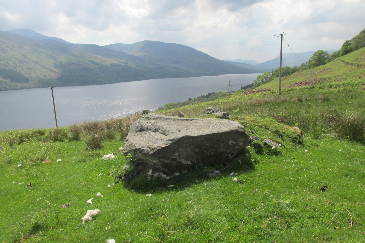
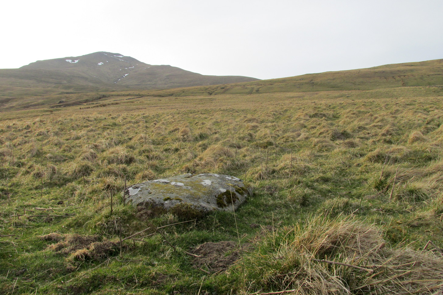
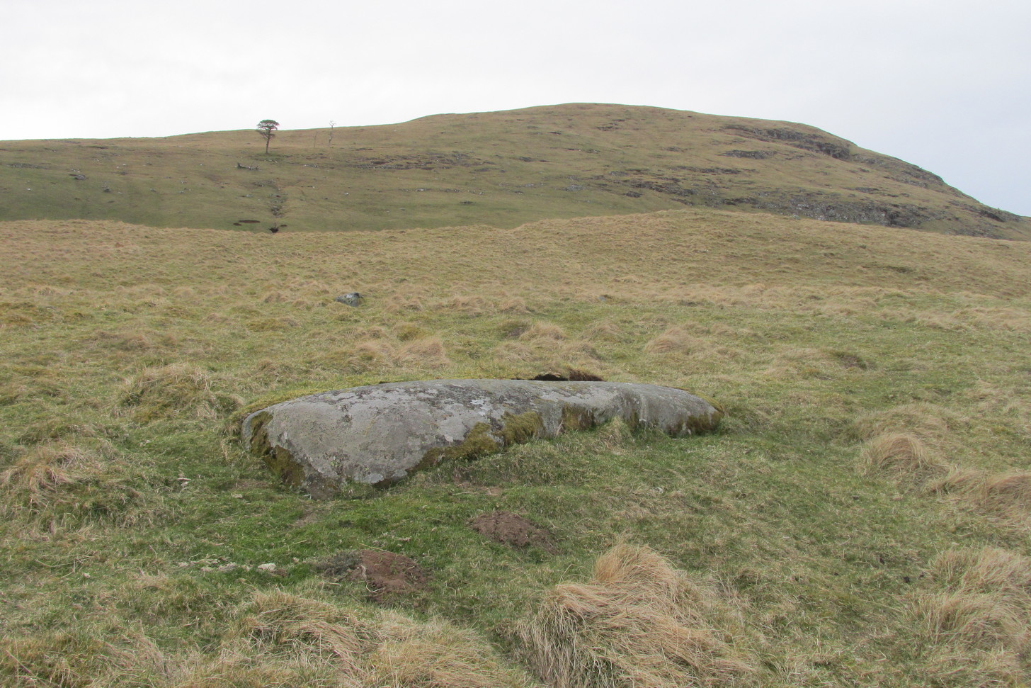
Get yerself to the Fairy Stone, then walk east past the adjacent woodland carvings—numbers 2, 3 and 4—from where you should walk about another 10 yards east across the grass, keeping your eyes peeled for a large flat stone measuring about 6ft by 10ft just as you go back into the tree cover north-side. You’ll find it.
Archaeology & History
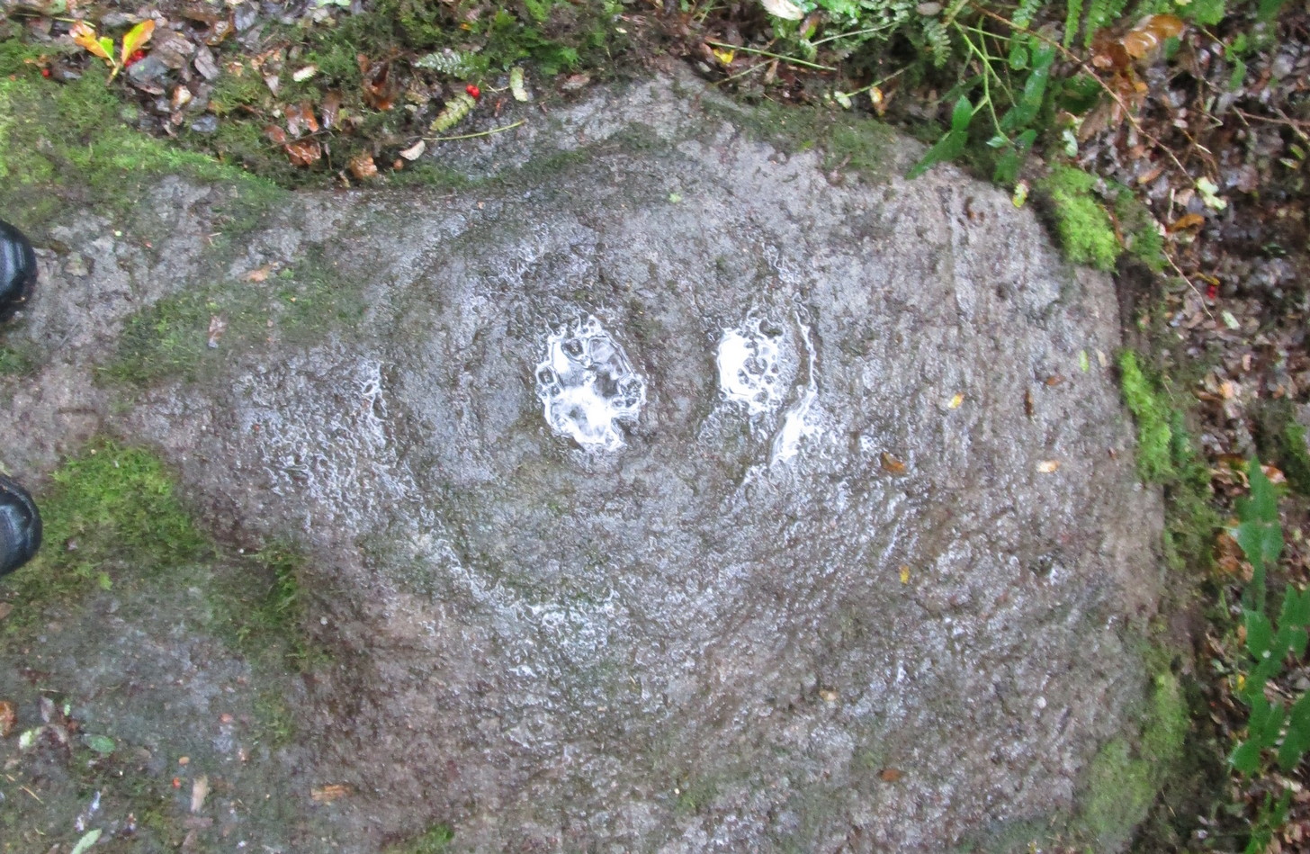
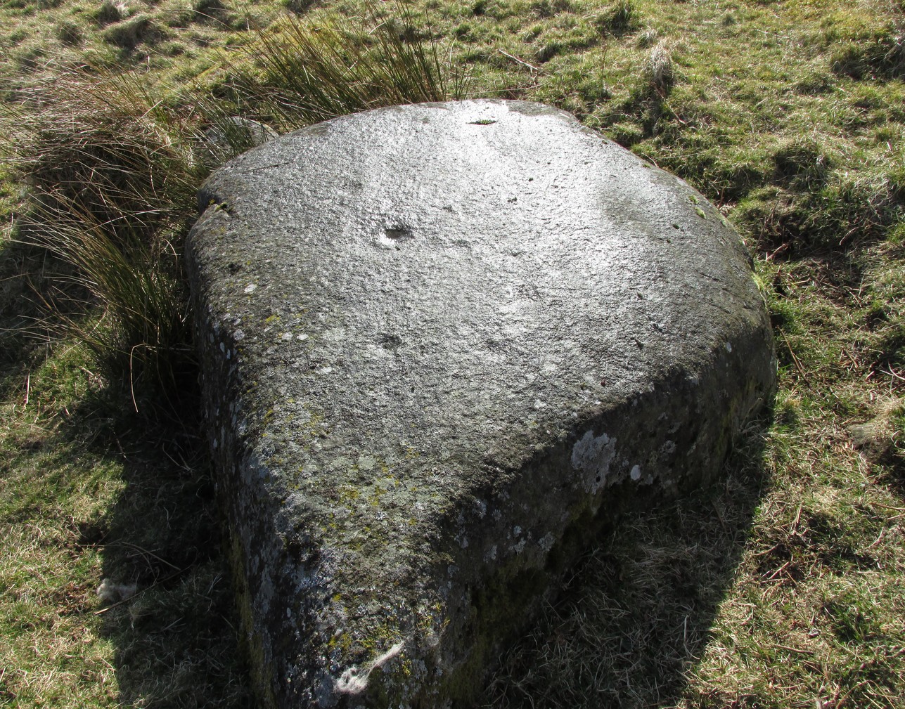
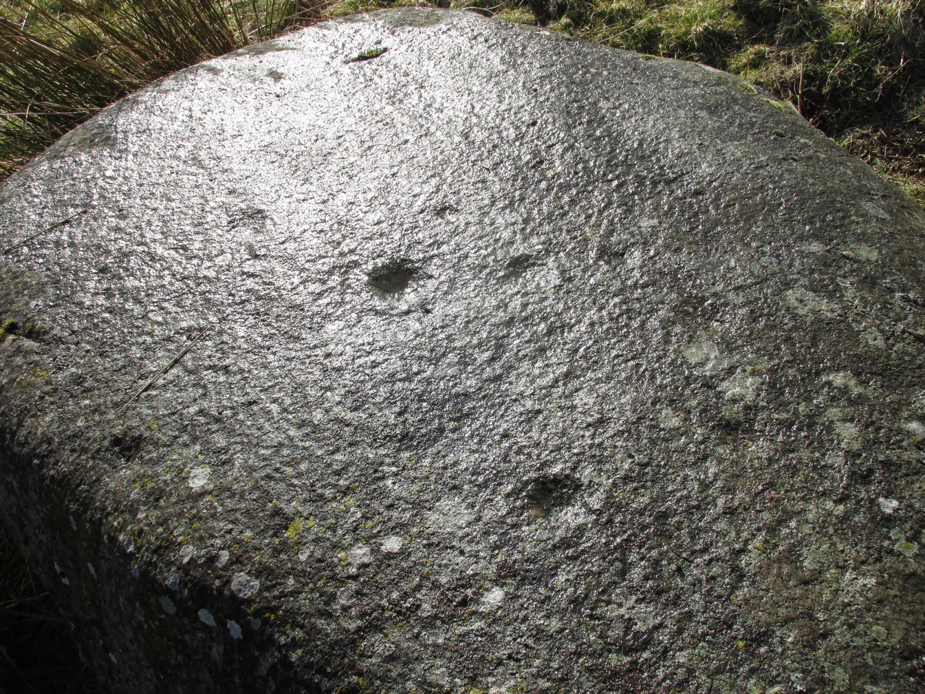
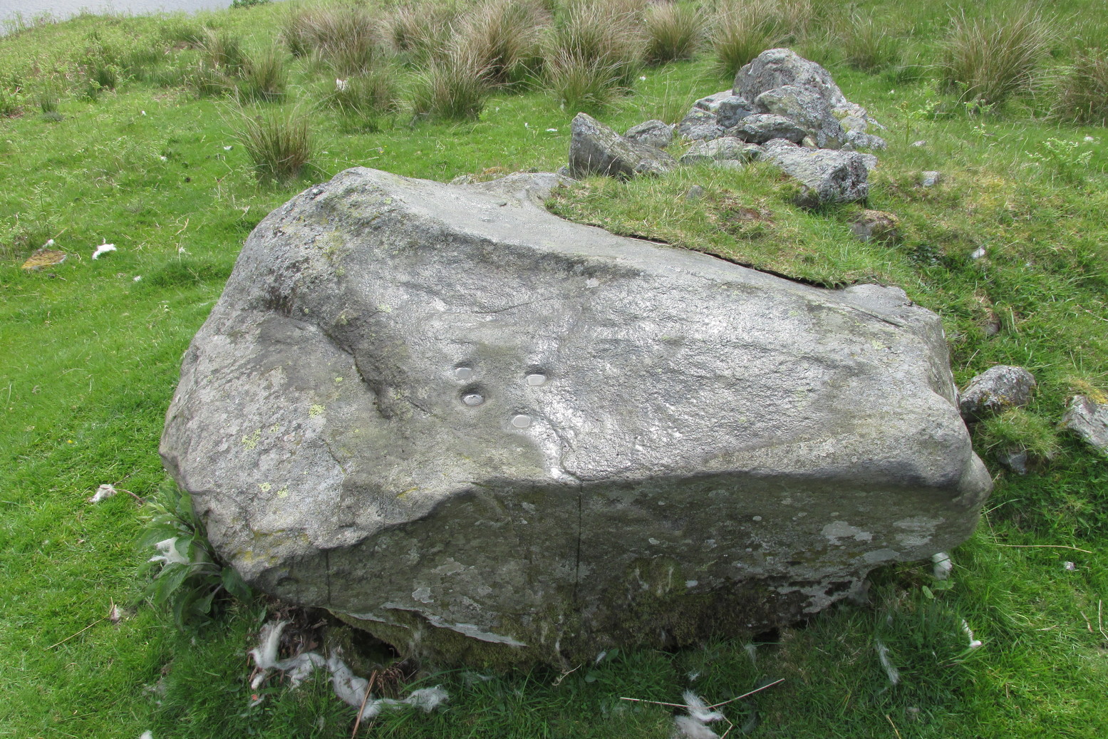
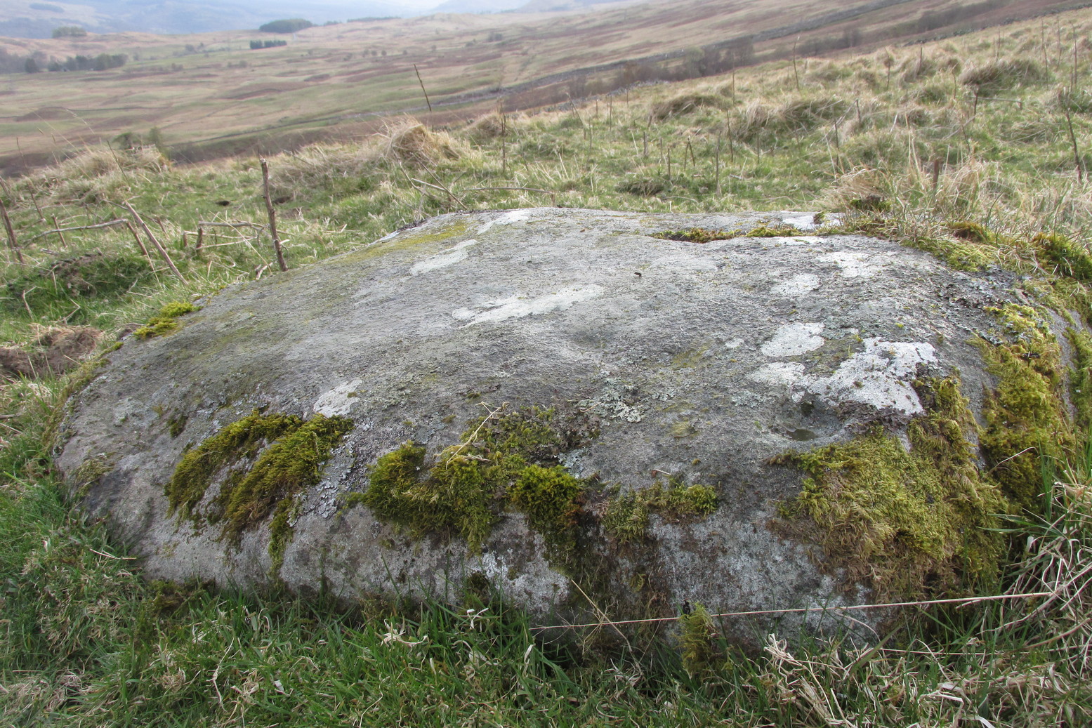
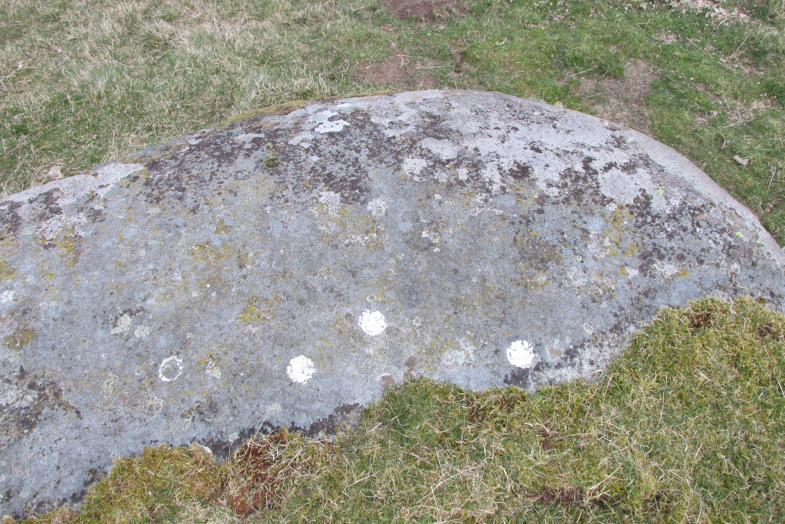
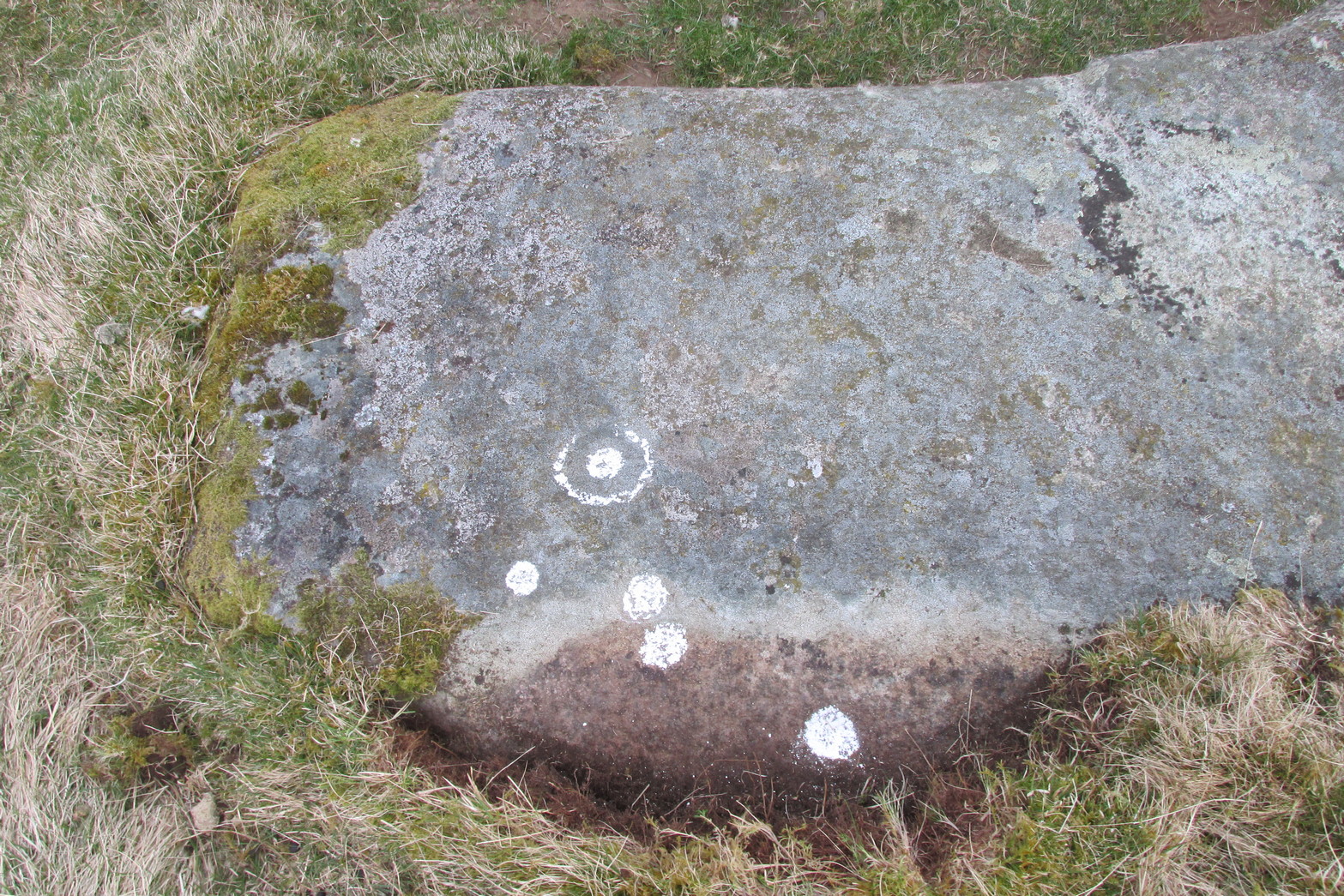
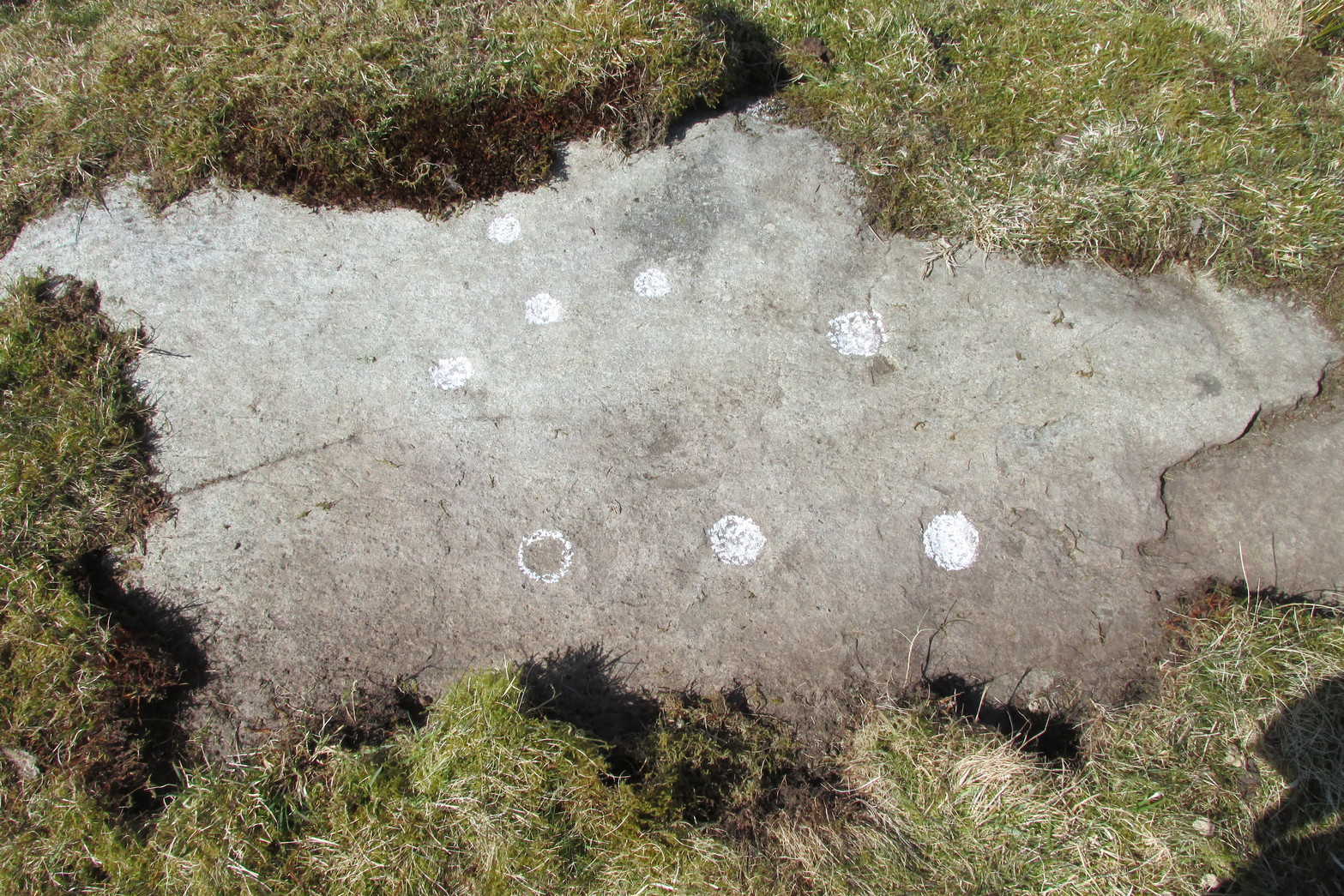
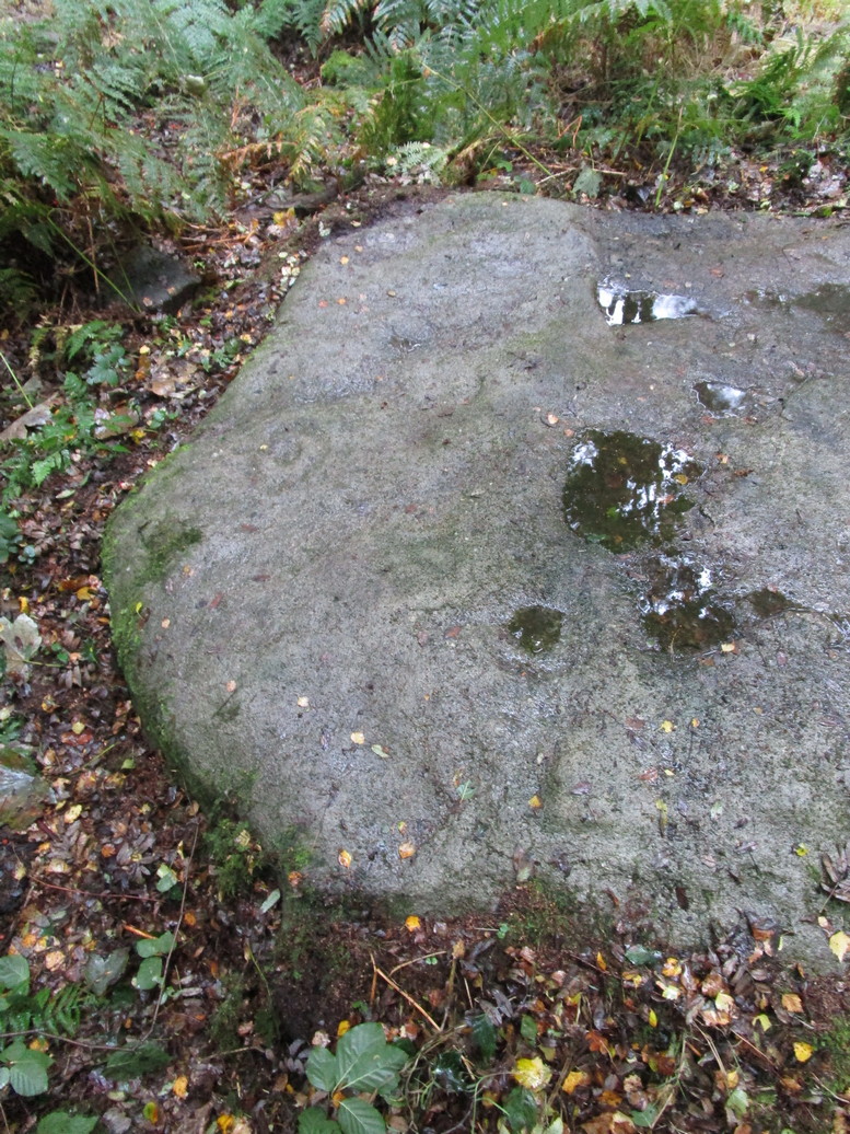
This large carved rock is the easternmost known petroglyph in this small woodland cluster of five. (a sixth one can be found, but it’s several hundred yards east from here) Consisting of two distinct cup-and-rings in relative proximity to each other on the northern section of the stone, this design—unlike others in this group—has a greater sense of stylistic authenticity to it. Despite this, one of the two cup-and-rings seems to be a more recent addition to the rock, as close inspection shows peck marks that aren’t very well eroded as you’d expect on rock of this type if it was truly ancient. The more faded cup-and-ring on its northwestern section looks to have a greater sense of age about it when we look at its erosion level….perhaps…
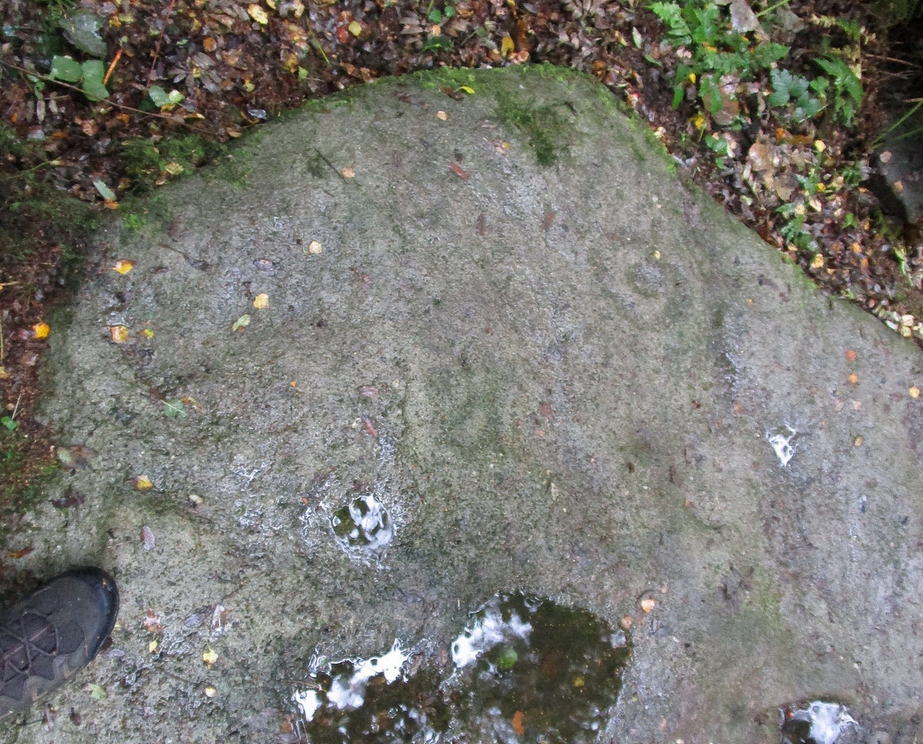
We have to take into consideration when looking at this carving and the others nearby that possess some quite peculiar design-elements, that this section of woodland is used extensively by boy scouts who do what boy scouts do in their teenage ventures: from making fires, climbing trees and, perhaps, scribing on stones if/when their elders aint looking. It’s an important ingredient that has to be taken into consideration when looking at the more rash motifs hereby—this carving included. The more faded cup-and-ring on this, however, may be the real deal. And hopefully, next time I visit this site, She’ll not be dark and pouring with rain (much though I love such weather), so I’ll be able to get some better photos!
© Paul Bennett, The Northern Antiquarian