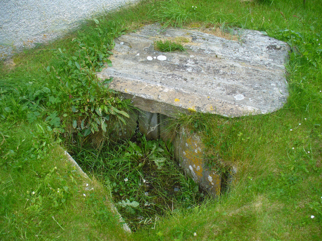
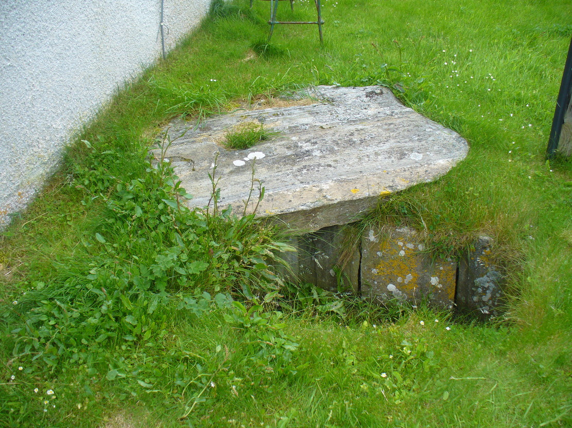
Cist (destroyed): OS Grid Reference – SE 1192 4759
Archaeology & History
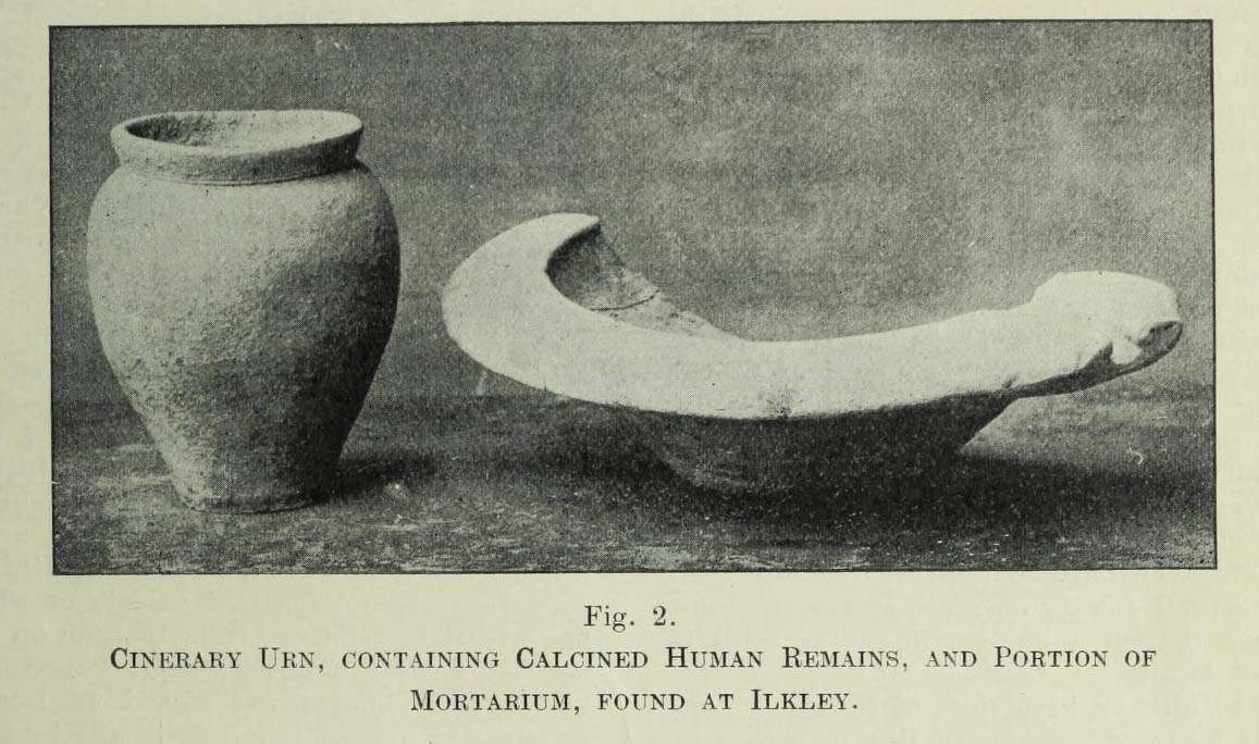
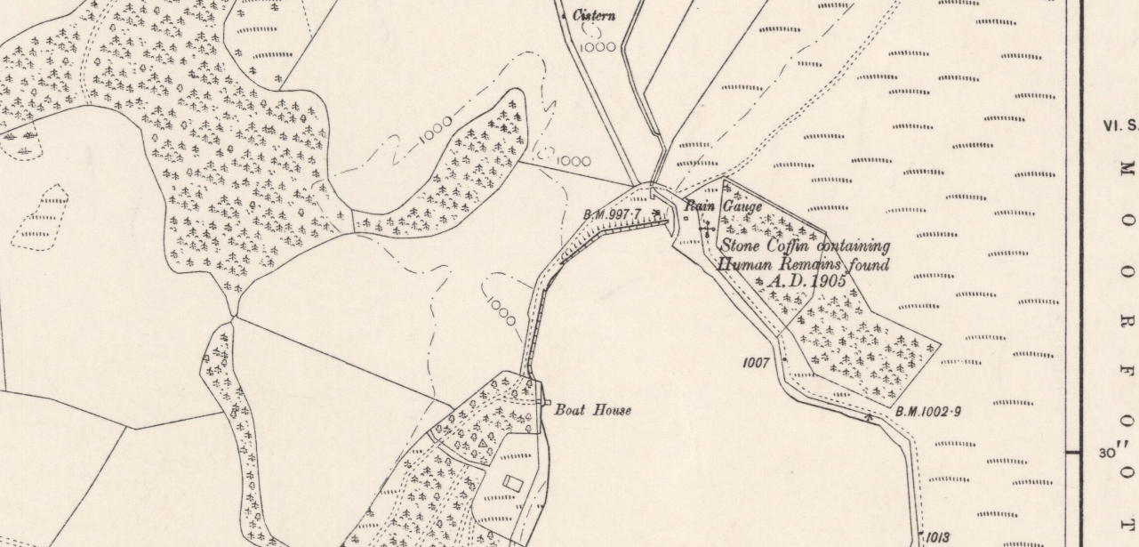
In a lecture given by Frank Hall at the Ilkley Library in February, 1910, he described a number of prehistoric remains found in the area—including the remnants of a “cinerary urn, containing calcined human remains” and more, as illustrated in the old photo here. He contextualized the findings as being typical of the remains found “under a large heap of earth and stones which we now call a ‘barrow’, ‘cairn’ or ‘tumulus'” and believed that one must have existed here in bygone times. The urn, he told us,
“was found within a few yards of these premises, for it was dug up when the excavations were being carried out for the erection of Messrs Robinson and Sons’ buildings on the opposite side of Cowpasture Road, in March 1874.”
Although we list this site as a cist, we don’t know for sure; but due to the lack of descriptive and historical data about a mound of any form in this area, it is most likely to have been a cist burial and not a tumulus or barrow which Mr Hall inferred. Its location near the valley bottom is unusual when we consider the huge number of cairns on the moors above here; but a cist was found in a similar low-lying geographical position on the south side of the moors near Bingley, 5.8 miles due south, when construction of local sewage works were being done.
References:
- Hall, Frank, The Contents of Ilkley Museum, William Walker: Otley 1910.
© Paul Bennett, The Northern Antiquarian