The sites that were once here have long since been destroyed as a result of quarrying operations. But thankfully this place was given a quick appraisal by those renowned Scottish archaeologists, Anna Ritchie and D.V. Clarke, before final destruction. They recorded the site in an early edition of Discovery & Excavation in Scotland:
“Two short cists were discovered in November, 1970, during the removal of a long low gravel ridge protruding into the flood plain of the River Clyde. The two cists were both aligned NE-SW and were 14m apart. Both employed identical construction techniques. The side slabs overlapped both end slabs and the N end slab was shorter than the other three slabs, necessitating a building-up of the floor by some 30cm. Both appear to have had a double layer of capstones although this is uncertain in one case. The cists contained and adult and child without grave goods on a gravel floor in one, and an adult with a beaker on a ‘crazy-paving’ floor in the other.”
Crazy-paving in prehistoric times sounds good! The Scots got there first!
References:
Clarke, D.V. & Ritchie, Anna, “Boatbridge Quarry: Short Cists,” in Discovery & Excavation in Scotland, 1971.
This one’s easy as it’s right by the roadside, so making it dead easy for those lazy ones amongst you who don’t like walking! You can find it just past the turn-off (signed) for Acharn Lodge, a few hundred yards along the A827 road (off the A85 by the garage) from Lix Toll, less than a mile before reaching Killin.
Archaeology & History
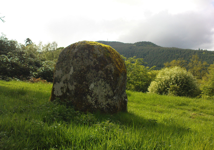
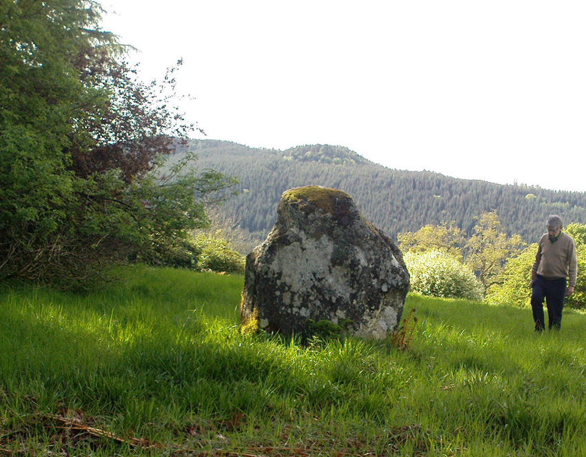
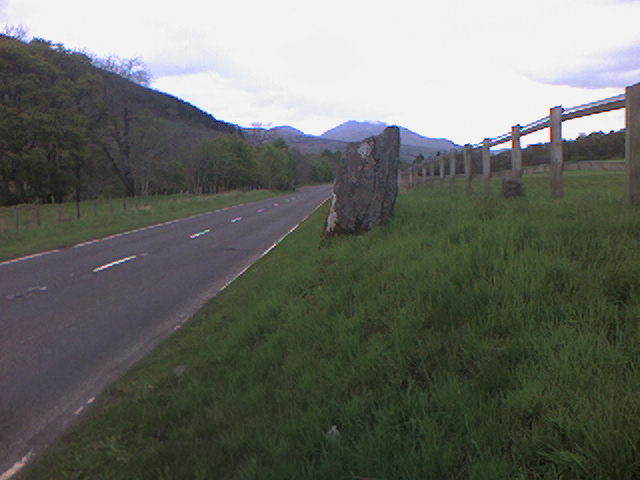
This solitary standing stone, not much more than about three feet tall, originally stood in the adjacent field and was moved to the edge of the road sometime ago. It was described briefly in William Gillies’ Breadalbane (1938) where he said, “Its height is 3 feet 10 inches and its girth at the base 6 feet 2 inches… This solitary stone is possibly the sole survivor of a group that once formed a circle,” though gives no more information to support this idea. It seems more likely that the stone accompanied a cairn, that was levelled by farming sometime in the 19th century.
References:
Gillies, William A., In Famed Breadalbane, Munro Press: Perth 1938.
Settlement (destroyed): OS Grid Reference – TL 811 136
Archaeology & History
Sadly this site has been built over, as happens so much down south it seems (regional archaeo’s, architects, councillors and businesses are very much in each other pockets – even those who allege ‘pagan’ allegiances to ancient sites – hence the demise of ancient sites). Which is a pity, as it sounded a decent spot! Essex county council employee, Robin Turner, forwarded a summary of the findings from the site to The Prehistoric Society following an assessment prior to its destruction at the end of the 1970s. The brief account of what was there told:
“A small area of the site contained part of an Iron Age settlement, probably of village proportions. Three hut circles, two possible hut circles and two square four-post structures were found, as well as a number of ditched enclosures. The main settlement area was enclosed by a multi-phased series of associated palisades and ditches, the earliest of which had a causeway and external protective fence, which may have served as a defended entrance. One of the four-post structures, c.3m square, lay immediately inside the gap, and may have been a gatehouse or lookout. Three main areas were enclosed outside the settlement and are thought to have represented a stock enclosure, a working area and a field. Some evidence of pottery production, weaving, thatching and metalworking was found. The presence of unusually large quantities of deer and dog remains may have had some religious significance which carried on into the Roman period.”
Turner and his team “hoped to investigate the insdie of the settlement area more thoroughly in 1980,”but I aint been able to get a copy of the report. There was also found remains of a Roman temple here, including artifacts that were thought to have been offerings to the gods or local spirits.
References:
Champion, T.C., (ed.), “Summary Excavation Reports,” in Proceedings of the Prehistoric Society, volume 46, 1980.
Turner, Robin, “Excavations of an Iron Age Settlement and Roman Religious Complex at Ivy Chimneys, Witham, Essex, 1978-83,” East Anglian Archaeology Monograph no. 88, 1999.
To get to the monolith travel along the B1253 road to the west of Bridlington for about 5 miles or from York take the A166 in an easterly direction then onto the B1251 and at Fridaythorpe take the B1253 east again toward Bridlington. The huge stone cannot be missed from the road and from the surrounding area. It stands within the graveyard of All Saints’ church at the north-eastern side of Rudston village.
Archaeology & History
Located in the graveyard of All Saints’ church, this huge and mighty monolith or menhir stands at 25 foot 9 inches high (7.7 metres), and is the tallest prehistoric standing stone in Britain. It is estimated to weigh 40 tons, and it is thought to be the same in height below ground as what it is above the ground, though I don’t know whether anyone has ever checked that theory out. It probably dates from the Bronze-Age about 1,600 BC. Because of vandalism and erosion the top of the stone now has a lead cap, so it is said the stone could have originally been 28 feet high. So where has the top part gone to, I wonder. We are told that the stone was dragged, or rolled on logs, all the way from an outcrop at Cayton Bay some 10 miles as the crow flies to the north.
Rudston monolith stands at the end of at least one cursus monument on an old prehistoric alignment (see the Rudston B Cursus entry). It would appear to have played an important ingredient in a huge ceremonial landscape on the Gypsey Race. Also in the churchyard (north-east corner) there is a large slab-stone cist which was removed from a nearby round barrow and also a gritstone. At Breeze Farm about one mile to the south-west of the village is the site of a Roman villa.
Folklore
The folklore elements tell us that this is, in fact, a phallic stone and in pagan times some form of ritual was held around the monolith, but then the Christian church was built around it in the Dark Ages – it was a case of Christianity adopting the pagan religion and allowing the stone to stay where it was, but what else could they do because the stone was to big to move, so a lot of tolerance was in order here. The present church of All Saints’ dates from the Norman period. In any case the stone had stood here for a good 2,000 years or more before any church was established in the village. According to the legend, the devil hurled the huge stone at the first Christian church on the site, but as usual he just missed – doesn’t he always!
References:
Bord, Janet & Colin, Ancient Mysteries of Britain, Diamond Books: London 1991.
Anderton, Bill, Guide To Ancient Britain, Foulsham: London 1991.
Darvill, Timothy, AA Glovebox Guide – Ancient Britain, AA Publishing Division: Basingstoke 1988.
Royston, Peter, Rudston: A Sketch of its History and Antiquities, George Furby: Bridlington 1873.
From the scruffy Askwith Moor lay-by car-park, along Askwith Moor road, follow the fence north up along the roadside until you reach the gate on your right. Go thru this and head due west into the moor, towards the small cluster of other carved stones (carvings 581, 582, etc), particularly the Small Rings Stone (carving 579). Around here, you’ll notice a cluster of about 10 mounds in the heather, which seem to be prehistoric cairns, and this particular stone rest against the northwestern side of one of them, about 30 yards west of carving 579. If you’re patient, you’ll find it! (if you fancy a look at all these on the moor, gimme a shout & I’ll take you straight to ’em – but you need to make a booking!)
Archaeology & History
This carving takes a bitta finding amidst the mass of deep heather and open moorland and is probably only gonna be of interest to real cup-and-ring fanatics. But it’s the setting which makes it more intriguing — for me anyhow!
Trying to highlight the internal CnRSolar Stone carving
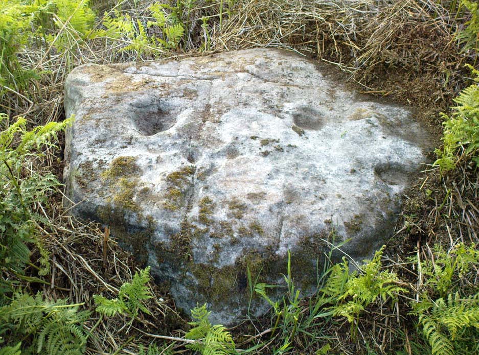
Like other carvings on this moorland, we find it in direct association with a prehistoric tomb (though it aint been excavated), resting up against the edge of one. However, it seems to have been moved from its original position and may, perhaps, have actually faced the other way at some time in the past. We might never know. However, some student in the recent past saw fit to name this small carving the ‘TV Stone’, thanks to the slightly cronky outline of an old television screen, with its small half-cup-and-ring near the bottom corner of the rock. You can see where they were coming from!
Boughey & Vickerman (2003) made only a brief note of the stone, seeing only the cup-and-half-ring here; but there seems to be a faint cup-marking near the middle of their TV screen, along with faded evidence of an incomplete ring around it. You can just about make it out in the poor photos we took of it. (sadly, we were without water when we visited it, which would have highlighted the additional cup-and-slight ring more clearly)
Close-up of cup-and-half-ring
We gave this stone the title ‘Solar Stone’* as it seems more appropriate and would certainly have more mythic relevance to the people who carved this. The curious natural ring, or TV outline, running round most of the stone (with the faded cup-and-part-ring near its centre) may have been attached with more animistic attributes than us moderns tend to give things — children notwithstanding! Circular forms in Nature have universal tendencies in more traditional cultures with such heavenly bodies as sun or moon, which might have been relevant here with the stones association with a tomb.
…Again, we might never know…
References:
Boughey, Keith & Vickerman, E.A., Prehistoric Rock Art of the West Riding, WYAS: Wakefield 2003.
* though did debate in somewhat primitive northern lingo: “Ugh – errr…solar? lunar? Ey? — Solar? Lunar?” uttering the same queried mantra numerous times between ourselves till we got tired and stuck with ‘solar’, as seems common these days (though I preferred ‘lunar’, it’s gotta be told!).
From Gilmerton village, take the A822 Dunkeld road north. Go for about 200 yards and take the little road to Monzie; watching carefully another 200 yards on for the dirt-track on the left taking you across the fields. Go along the track, watching out for the small stones in the field on your right less than 200 yards along. You can’t really miss ’em! This small ring of stones is the Monzie Cairn Circle. The carving is just in front of it!
Archaeology & History
Although we know this brilliant carved stone has some relationship with the Monzie cairn circle only five yards away (it was linked via a man-made stone causeway, running between the circle and the carving), the stone itself is very much deserving of its own entry here — and at the same time I can give Andrew Finlayson’s (2010) excellent book a decent plug aswell! (the superb drawings of the stone, top & bottom, are from Andy’s work)
Allen’s 1882 drawingCarving & proximity of circle
First mentioned (I think) in Simpson’s (1867) early survey, the carving was described soon after by J. Romilly Allen (1882), who gave us an early drawing of the stone. Thought by some to have originally stood upright, the carving was described by Aubrey Burl (2000) as being, “decorated with forty-six cupmarks, cup-and-rings, nine double, one triple, there are grooves and a pair of joined cups.” It’s certainly an impressive carving!
Although the carving has been posited by some archaeologists as an outlier to the Monzie circle, it’s probable that the circle emerged from the carving — a concept that some may find difficult to understand. I’m not aware of any modern excavations here (the last, I think, was in 1938), but my guess would be that the stone causeway laid between the cup-and-ring stone and the circle ran towards the circle from the carving, and not the other way round. The carving is probably older than the stone ring — though of course, without excavation, my idea could be utter bullshit! (there are also some cup-marked stones in the circle aswell – though none as impressive as this)
One of my truly favourite megalith fanatics (despite some of his alignments being out), Alexander Thom, came here and thought this old carving “coincided with a rough stellar alignment from the centre-point of the cairn” (Hadingham 1974); though his notes in Megalithic Rings (1980) tell that,
“from the cupmarked stone beside the circle, the midsummer sun sets above an outlier some 800ft distant.”
The “outlier” that Thom mentions is known as the Witches’ Stone of Monzie, which Simpson (1867) appears to have mistakenly thought was the name of this very carving.
References:
Allen, J. Romilly, “Notes on some Undescribed Stones with Cup Markings in Scotland,” in Proceedings of the Society of Antiquaries Scotland, volume 16, 1882.
Burl, Aubrey, The Stone Circles of Britain, Ireland and Brittany, Yale University Press 2000.
Finlayson, Andrew, The Stones of Strathearn, One Tree Island: Comrie 2010.
Hadingham, Evan, Ancient Carvings in Britain, Garnstone: London 1974.
Simpson, James, Archaic Sculpturings of Cups, Circles, etc., Upon Stones and Rocks in Scotland, England and other Countries, Edmonston & Douglas: Edinburgh 1867.
Thom, Alexander, “Megalithic Astronomy: Indications in Standing Stones,” in Vistas in Astronomy, volume 7, 1966.
Thom, A., Thom, A.S. & Burl, H.A.W., Megalithic Rings, BAR: Oxford 1980.
Cup-and-Ring Stone: OS Grid Reference – NY 0708 2536
Getting Here
Photo & drawing of Dean’s cup-and-ring (after Beckensall 1992)
St Oswald’s church stands at the western edge of the village of Dean beside the road to Branthwaite. The village is located some 5 miles due south-west of Cockermouth and about 6 miles to the south-east of Workington.
Archaeology & History
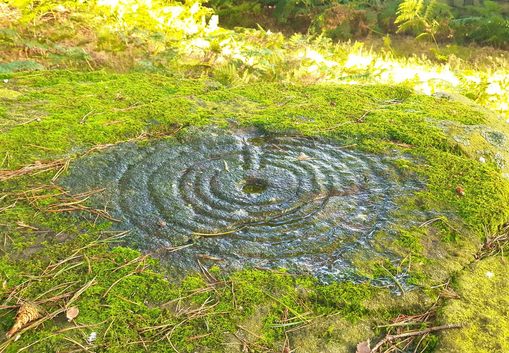
In the nave of St Oswald’s church there is now housed a small sandstone boulder that has a well-defined central cup-mark around which are two large concentric rings, a third ring being left open – perhaps indicating a portal (gateway), and three other well defined cup-marks at the side of that, one of which has become almost adjoined to the other through erosion.
The boulder was ploughed up in a field at nearby Park Hill to the south-west of the village in 1918. It was then placed in the churchyard but, in recent times it was brought into the church for safety reasons.
References:
Beckensall, Stan, Cumbrian Prehistoric Rock Art, Abbey Press: Hexham 1992.
Beckensall, Stan, British Prehistoric Rock Art,Tempus: Stroud 1999.
Beckensall, Stan, Prehistoric Rock Art in Cumbria, Tempus: Stroud 2002.
To get here, take the same direction as to reach the Bleara Lowe tumulus, stopping a short distance away when you reach the large heap just by the walling where the moorland levels out. Y’ can’t really miss it!
Archaeology & History
Bleara Moor tumulus
Found on the top of the slope above the Bleara Moor Cairnfield, this is quite a large burial mound that seems to have been forgotten on the small moorland heights above Earby and Lothersdale. No archaeological excavation has been done here and there seem to be no accounts of any finds in local antiquarian records. When we visited the place it was very overgrown and covered in heather, but it stood out in the open landscape. Slightly larger than its more famous companion to the east, this tomb stands three- to four-feet high on average, with a diameter of around 25 yards on its longest northeast/southwest axis. Consistent in structure with the larger cairns on Burley Moor like the Little Skirtful, this tomb was probably built in the Bronze Age. It also seems that a lot of stone has been robbed from this cairn for use in the local walling. The site was given a minimal description on the Pastscape website, where it was described as:
“Round cairn 230m W of Bleara Howe (sic). Scheduled RSM No 23718. A partly mutilated slightly oval mound of peat and heather-covered stones up to 1.2m high with max dimensions of 23m NNE-SSW x 21m WNW-ESE.”
The views from here are considerable and this probably had some relevance when it was first built, but I’m not aware if an assessment of this aspect of the site has been made. More information about the Bleara Moor tumulus (and its companions!) would be hugely appreciated!
There’s no footpath to this site, but we came to it via the car park on Coolham Lane on the southeast side of Earby. Walking uphill, we got over the wooden stile on the moorside and walked up the side of the walling, all the way upwards till we reached the top of the moor. You’ll pass the large Bleara Moor tumulus just by the walling, then head towards the rounded hillock on the top of the moor a coupla hundred yards away. Y’ can’t really miss it!
Archaeology & History
As with many sites in this area, very little has been said of this usually overgrown Bronze Age burial mound. Although no known recorded excavation of the tomb has ever been done, someone dug into the top of the mound in the 1960s, but we have no record of any finds. The tomb stands on the local boundary line between Earby and Lothersdale to the east and was known as ‘Bleara Haugh’ in the 1819 Enclosure Act. But little else has ever been said of it.
Bleara LoweOS-map of site
When we visited the place a few months ago, we were fortunate in that the heather had been burnt back, so allowing a much better view of the site than normally afforded when it’s covered in heather. The rounded mound was between 4 and 5 feet high and measured approximately 20 yards across. The pit which had been dug into the top of the mound was still visible, though much overgrown. The view from the tomb itself was very impressive — which would have been of some importance in the construction of the place. The Pastscape website describes Bleara Lowe as:
“A slightly oval mound of peat and heather-covered stones up to 1.4m high with max dimensions of 21m E-W x 19m N-S. There is a rectangular hollow 3m x 1.5m x 0.4m deep on the cairn’s summit.”
Another larger tumulus or overgrown cairn can be found over 200 yards west of here; plus a number of small singular prehistoric cairns have been located further down the western slope of the moor, known as the Bleara Moor Cairnfield. None of these sites have ever been excavated.
If you wanna drive here, be prepared for a long uphill winding haul, with very poor turning, single-track roads and no parking spots. It’s dodgy as hell! But, if y’ must – from the central roundabout in Todmorden, take the road diagonally across as if you’re going to the train station, and barely 50 yards up, take the right turn under the railways arches, bearing sharp left, then up the very steep zigzagging dangerous road for a mile or so. You’ll eventually reach Stones Lane on your left. Go down this, nearly to the end, slowly – and keep your eyes peeled until you see the big one! You can’t miss it! If you want walk up (a much safer, healthier and preferable route), take the Calderdale Way route up past Dobroyd Castle, and where you get to the top of the hill and the fields open up ahead of you, look down the slope into the field for one stone, and up past the shrubs to Centre Hill. You can’t miss them!
Archaeology & History
Three ‘stones’ on 1911 map
This is a quite extraordinary sight to those who visit here for the first time. Moreso because, until very recently, the place was excluded from all text-books and surveys. But if you like your megaliths, this place is well worth the trek up the hill. You’ll be amazed! The tallest and largest of these giant monoliths was recorded when a team from Ordnance Survey mapped the area in 1844, but gave no antiquated note to it. When another Ordnance Survey team re-surveyed the area again in 1911, they noted two other ‘stones’ three fields away to the northeast. More than a decade later, the industrialist historian Abraham Newall (1925) described them at some length in his fine work on the region.
Stone 1, looking NWStone 2, at top of hillock (soz about the crap picture)
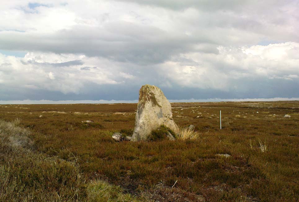
The first thing generally noticed is the 12-foot tall standing stone near the bottom of the field (stone 1). Then you’ll see the curiously-worked thin standing stone, nearly as tall, on the hillock at the top of the same field (stone 2). This stone has been surmounted onto an old millstone and the hillock itself was once an old beacon hill. Then on the other side of the road a few hundred yards along, another stone just over 4-feet tall can be seen (stone 3); and in the same field is another one laid down at the side of a well (stone 4). This stone used to stand just where the water appears. It’s seems probable that other standing stones may once have been in close attendance, but have been destroyed over time.
Stone 3, looking southStone 3, looking west
Stone 1 is hemmed in at the base by several stones, giving the impression that it was resurrected at some time in the recent past. Several local stories attest to this. Stone 2 was once further down in the same field but was moved to its present position in the 19th century and was, it is alleged, moved there to commemorate the Battle of Waterloo. Several local historians contest this. Stone 3 has nothing said of it; apart from by the local farmer who said it once had a companion (as illustrated on the early map, above). We were told that this companion (stone 4) was uprooted and a spring of water appeared where it stood, so they laid it down in the position it still occupies, just by the spring 10 yards into the field.
If you’re into megaliths and live in Yorkshire or Lancashire, check these beauties out! Just respect the local farmer – he’s not into ignorant tourists clambering over walls. (don’t say you’ve not been warned!)
References:
Bennett, Paul, The Old Stones of Elmet, Capall Bann: Milverton 2001.
Newell, Abraham, A Hillside View of Industrial History, J. Bentley: Todmorden 1925.