Lippersley Pike, Denton Moor, North Yorkshire

Cairn:  OS Grid Reference – SE 14335 52478

Getting Here

Follow the directions to reach the Lippersley Pike cup-marked stone, then keep walking westwards, but go up the slope immediately on your right (north) and walk upwards along the path to the notable stone structure at the top-end of the ridge a coupla hundred yards ahead.  Once there, you’re standing on it!

Archaeology & History

Lippersley Pike & shooter’s butt

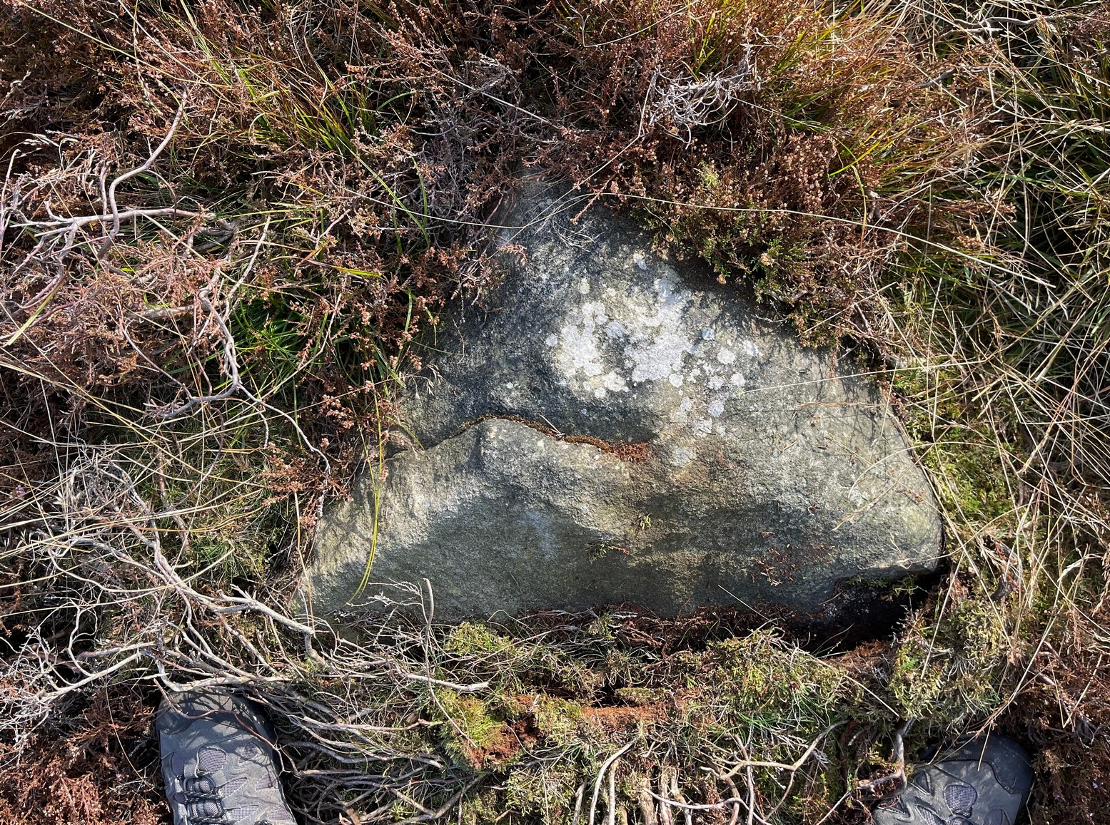
A little known site with some excellent 360° views all round, reaching as far west as Pendle Hill, north past Simon’s Seat, and east onto the far reaches of the North York Moors.  The landscape here is truly superb!  And humans have been here since, it would seem, mesolithic periods at least, if Cowling’s finds are owt to go by! For although he described the much denuded tomb that we can still see under the herbage and recently-built shelter, there was also, “on the northern slope…a small occupation immediately below the summit on the northern side.”  We found remains of it on our visit here the other day.  But of the tomb itself — which Mr Cowling thought was neolithic in age — he wrote:

“The highest point of Lippersley Pike, on Denton Moor, is crowned by a stone cairn 1083 feet above sea level, and overlooks, on the northern side, a small site which appears to have been occupied by the ‘Broad Blade’ people, for there occur several pieces of patinated flint, along with scrapers and worked blades.”

Aerial view of Lippersley Pike

Cowling then describes a number of flints and other prehistoric working utensils that he found all round here.  The remains of the cairn measure some 25 feet east-west and 23 feet north-south.  There has been no excavation here, although the fella’s who dug out much of the stone to build the shooter’s butt on its top may have found summat, but have kept it quiet!

The cairn is an ancient marker along the boundary line marking the townships of Denton and Great Timble and was visited in perambulation walks in previous centuries.  Grainge (1871) describes the extensive perambulation in his Knaresborough Forest work.  ‘Lippersley’ itself first appears in records from 1576, although A.H. Smith (1963:5) does not suggest an etymology.  The place is worth visiting as a good starting point to explore the other little-known prehistoric remains on these moors, including the Crow Well settlement, the Heligar Pike tomb, etc, etc.

References:

  1. Cowling, E.T., Rombald’s Way: A Prehistory of Mid-Wharfedale, William Walker: Otley 1946.
  2. Grainge, William, The History and Topography of Harrogate and the Forest of Knaresborough, John Russell Smith: London 1871.
  3. Grainge, William, The History and Topography of the Townships of Little Timble, Great Timble and the Hamlet of Snowden, William Walker: Otley 1895.
  4. Smith, A.H., The Place-Names of the West Riding of Yorkshire – volume 5, Cambridge University Press 1963.

© Paul Bennett, The Northern Antiquarian


Snowden Carr (597), Askwith Moor, North Yorkshire

Cup-Marked Stone:  OS Grid Reference – SE 17965 51158

Getting Here

Find your way to the excellent Tree of Life cup-and-ring stone, then walk about 10-15 yards west.  It’s under your nose!

Archaeology & History

Single cup-marked stone

Another stone for the rock art purists amongst us: a singular cup-marking near the edge of the rock.  Although the photo here seems to show three cup-markings close to each other, only one of the three is in fact real.  The other two are simple geological creations.  But this fact seemed to go over the heads of some English Heritage archaeologists who reported to Boughey & Vickerman (2003) that this was a stone “with three cup markings” on it.  I’m not sure who trains EH rock-art enthusiasts, but they seem to have a tendency to mistake natural features with artificial cup-markings and their evaluations should be treated with considerable caution (you’ve gotta wonder who the students are that are teaching them).

The rock itself is found in close association with other prehistoric remains and may have been a part of enclosure walling.  Very close by are numerous well-preserved settlement remains, cairns and other cup-and-ring stones.

References:

  1. Boughey, Keith & Vickerman, E.A., Prehistoric Rock Art of the West Riding, WYAS: Wakefield 2003.

© Paul Bennett, The Northern Antiquarian


Eagle Stone, Blubberhouses Moor, North Yorkshire

Cup-Marked Stone:  OS Grid Reference – SE 14605 53815

Also Known as:

  1. Eagles Stone
Eagle Stone

Getting Here

To get here, follow the same directions as you would to reach the curious Green Plain settlement; but just before you reach that, you’ll notice this rather large boulder known as the Eagle Stone right in front of you next to the ever-decreasing stream.  Wander down and give it a fondle — you can’t really miss it!

Archaeology & History

Cupmarks on top (image by Graeme Chappell)

Curiously not included in Boughey & Vickerman’s rock-art survey (2003), this large boulder stands just below the ancient ford which crosses Sun Bank Gill and is pitted with a number of cup-marks on its top (though not the 38 we counted when Graeme Chappell and I in the early 1990s), plus a large “bowl”, not unlike the Wart Well on top of Almscliffe Crags and other such sites.  Although some of the cups seem natural, others are artificial — as even an English Heritage rock art student could tell you!  A small cluster of ‘cups’ are on top of the stone, but a number of them have been etched onto the sloping southern face; a curved line running across the rock-face towards these cups may be natural.

The straight track above you was known as Watling Street in bygone years and was the old Roman road running between Ilkley and Aldborough.

© Paul Bennett, The Northern Antiquarian


Askwith Moor (529), North Yorkshire

Cup-Marked Stone:  OS Grid Reference – SE 17396 50745

Getting Here

To be found a couple of hundred yards west of Askwith Moor Road, head towards the bottom of the row of grouse-butts, following the fence that runs into the moorland across from the dusty car-park.

Archaeology & History

Single cup-marked stone

This single cup-marked stone — list as carved stone no.529 in Boughey & Vickerman’s (2003) survey — was reported when some English Heritage doods came here and found this small upright stone (probably part of a larger prehistoric monument, e.g., walling or cairn) and gave the cup-marking their “all clear” stamp and thought it authentic.  But if memory serves me right (which it doesn’t always do these days!), I’m pretty sure Graeme Chappell came across this possible carving in the early 1990s during one of our many forays over these moors.  It’s a cute little thing — though only for the purists amongst you perhaps — but, of course, needs to be seen in the context of its proximity to the many other prehistoric monuments across this moorland plain.

References:

  1. Boughey, Keith & Vickerman, E.A., Prehistoric Rock Art of the West Riding, WYAS: Wakefield 2003.

© Paul Bennett, The Northern Antiquarian


Lippersley Pike Rock, Denton Moor, North Yorkshire

Cup-Marked Stone:  OS Grid Reference – SE 1471 5233

Also Known as:

  1. Carving no.506 (Boughey & Vickerman)
1992 drawing of CR506

Getting Here

Stuck in the middle of the moor, at the bottom (southern) side of the Lippersley Ridge promontory.  Head towards it from the Askwith Moor Road, along the track past Sourby Farm and onto the end.  Then walk along the easy footpath which that takes you below the southern side of the ridge and, about 100 yards before getting to the end of the rise, look around in the heather.  You’ll find it.

Archaeology & History

Graeme Chappell’s early photo of the carving

Graeme Chappell rediscovered this seemingly isolated cup-marked stone during one of our many exploratory ambles upon these moors in the early 1990s.  The carving is a pretty simple one, consisting of between 10 and 12 cupmarks on the upper surface of a reasonably large elongated stone.  No discernible rings or other lines seem to be visible.  There are no other cup-and-ring stones close by; but two small prehistoric cairns can be found along the same sloping ridge east and west of here when the heather is low, and the larger Lippersley Pike Cairn stands out on the western end of the ridge 450 yards away.  A more detailed exploration of this part of the moor may bring other previously unknown findings to light.

References:

  1. Boughey, Keith & Vickerman, E.A., Prehistoric Rock Art of the West Riding, WYAS: Wakefield 2003.

© Paul Bennett, The Northern Antiquarian


Death’s Head Carving (577), Askwith Moor, North Yorkshire

Cup-and-Ring Stone:  OS Grid Reference – SE 17795 51235

Also Known as:

  1. Carving no.577

Getting Here

Follow the directions to find the Tree of Life Stone, then follow the main footpath uphill from it.  Once on the level, look out for a couple of large rocks abaat 100 yards to your left.  Check ’em out, cos it’s on one of ’em!

Archaeology & History

This is another decent carving living on these prolific moors.  Found near the end of a lengthy line of prehistoric walling that runs east-west over this part of the moor, the general Rorsharch-response to this carving is of some sorta skull or screaming face.  My impression of it the other day was, “it looks like a pig!”

Although mentioned by numerous writers, the first description of it was in Eric Cowling’s (1937) essay on the cup-and-ring stones north of Otley, saying:

“On an isolated table stone, situated at the upper end of the shallow valley which drains Snowden Carr, the writer found a marking having a strangely skull-like appearance, but which is really a group of three large cups which are linked by inter-turning curved grooves.”

Close-up of main design
The Death’s Head Rock

He then strives to make links between this carving and the design on the Swastika Stone above Ilkley — which in some way is a little similar, i.e., as a three-armed triskele swastika; but the notion is perhaps as accurate as saying it represents a cloud, or a tree, or bird-flight, or any number of other natural phenomena.  Beckensall’s (1999) brief note of the stone — despite getting his grid-ref off by a few hundred yards — described it as “four cups linked and enclosed by grooves, unconvincingly suggesting a skull to some people.”  With Boughey & Vickerman (2003) saying:

“Fairly large, upstanding rock with surface sloping down to N. Figure of four cups linked by and enclosed by grooves: entire pattern resembles a skull, hence the name ‘Death’s Head Rock.'”

References:

  1. Beckensall, Stan, British Prehistoric Rock Art, Tempus: Stroud 1999.
  2. Boughey, Keith & Vickerman, E.A., Prehistoric Rock Art of the West Riding, WYAS 2003.
  3. Cowling, Eric T., “Cup and Ring Markings to the North of Otley,” in Yorkshire Archaeological Journal, part 131, 33:3, 1937.
  4. Cowling, Eric T., Rombald’s Way: A Prehistory of Mid-Wharfedale, William Walker: Otley 1946.

© Paul Bennett, The Northern Antiquarian


Step Stone, Snowden Crags, Askwith, North Yorkshire

Cup-Marked Stone:  OS Grid Reference – SE 17841 51306

Getting Here

Get to the Fence Stone carving and walk up to the top of the hill about 50-60 yards away.  Once on the long flat rock, walk less than 20 yards WNW until you see the stone in the picture.

Archaeology & History

So named due to it being shaped like a little singular step on a stone, this cup-marked carving was first found in the middle of May, 2010, around the same time Michala Potts located the Snowden Crags cairn circle.

Step Stone, Snowden Crags
Close-up of the cups

First described and illustrated on the Avebury Forum on June 3, 2010, this cup-marked rock is found in association with a number of (as yet) unexcavated prehistoric remains, close to some Iron- or Bronze Age walling and a distinct hut circle, close to one of the D-shaped enclosures 20 yards away.*  When I first found it there seemed to be just two simple cups on it, but upon viewing it several times over the last few weeks in differing lighting conditions, it seems there may be as many as 4 cups on the southwestern face of the rock.  In one of the images here, you get the impression that there could actually be five cups — but I’m gonna play safe and just say there are three such cups here.

* At least 3 large, prehistoric, D-shaped enclosures have been isolated on these moorlands, with diameters ranging between 15 and 80 yards.  None of these have yet to receive serious archaeological attention!

© Paul Bennett, The Northern Antiquarian


Boomers Stone, Askwith Moor, North Yorkshire

Cup-and-Ring Stone:  OS Grid Reference – SE 17204 51280 —  NEW FIND

Getting Here

From the Askwith Moor Road car-parking spot, walk up the road (north) for 350 yards and go thru the gate on your left.  Once thru it, keeping walking up and along the edge of the fence following the line of the road until the path goes downhill.  Near where it levels out, walk into the moor proper for about 150 yards or so.  You’re close!

Archaeology & History

Cup-and-slight-ring stone, Askwith Moor

First found by Messrs Dave Hazell and Paul Hornby on the afternoon of Thursday, June 3, 2010, amidst scouring operations on the moors hereby.  This large stone has one conspicuous cup on its south-facing slope with faint remains of a half-ring on its eastern side.  A distinct arc above the immediate top of the cup joins up with the pecked quarter-ring section and may have been added to by human hands aswell, certainly giving it a half-ring effect.  There are a couple of decent natural cups along the top-edge of the stone aswell.

A brief discussion then began as to why someone would only carve half a ring, or less, surrounding the cup-marking.  But the fella doing this could have easily been distracted by a boar, a wolf, or even worse – his northern wife!

A little further west, barely 100 away, rising up the edge of the slope, Geoff, Dave and Paul found several more examples of what seem to be distinct remains of prehistoric cairns on the edges of High Low Ridge.  Like Dave and Paul’s Boomers Stone, they aren’t in any previously published archaeological surveys either.

© Paul Bennett, The Northern Antiquarian 


Riverbank Cup-Marking, Askwith, North Yorkshire

Cup-Marked Stone:  OS Grid Reference – SE 1659 4744

Getting Here

Just over the county boundary on the north side of the Wharfe’s riverbank, the easiest way to find this is from the village of Burley-in-Wharfedale, walking out as if heading towards Ilkley (west) and, just 100 yards or so before reaching the A65(T) road, walk down the footpath that takes you down to the River Wharfe.  Go over the large stepping-stones and, once on the other side, walk down the edge of the riverbank for 10 yards, up the first ridge and there, just below the grass where the edge of the land is coming away, you’ll find this small cup-marking.

Archaeology & History

First discovered t’other day, on Friday, 28 May, 2010, when we were starting on another wander onto the hills.  We’d only just crossed the large stepping-stones over the River Wharfe just outside Burley and heading up to Askwith, when Michala Potts stopped, peered and said summat along the lines of, “Errr….look at this!”

Riverbank Cup-Marking
Close-up of cup-mark

My initial thought was it was gonna be some naturally eroded water-worn stone — but it didn’t seem that way.  Peering out from the edge of the ground n the company of many other small stones and gravel, which was slowly coming away just yards above the edge of the river, a rounded cup-marked stone with just a single cup-mark stood out like a sore thumb!  It was covered in dusty earth and looked a quite decent example; but once we’d cleared the dried earth away and wet the stone, the cup-marking was truly enhanced.  To those of you who have a thing about cup-markings and associations with rivers and streams, this one can be added to your statistics! (20 yards away the Askwith East Beck meets with the river)

Obviously added as part of the river embankment, the stone would obviously have been taken from a nearby source, but we’re unlikely to ever find out where.  It looks typical of cup-marked stones that were added to cairns, but no such site (that we know of) occurred close by.  We were gonna peel some of the embankment back and see if there was anything else here, but time and another ancient site that we’d arranged to see was calling us away, so we just got a few pictures and kept on our way…

© Paul Bennett, The Northern Antiquarian


Snowden Carr Carving (580), Askwith, North Yorkshire

Cup-and-Ring Stone:  OS Grid Reference – SE 17797 51007

Getting Here

Same direction as for cup-and-ring carving 581.  This small pyramidal stone (easily missed if you aint careful) is a yard or two away beneath the heather. You might have to scrabble round on the ground, but you’ll find it.

Archaeology & History

Faint cup-and-ring

The first description of this little stone was by Boughey & Vickerman (2003). Found amidst the cairnfield first mentioned by Cowling (1937), he missed this in his early days — but it’s easily done!  All we have here on the very top of the stone is a “cup with a gapped ring”, fading away beneath elements and poor light conditions.  As you can see in this photo, it’s hard to make out (so if you can get a good photo or two stick it on our Facebook group).

References:

  1. Boughey, Keith & Vickerman, E.A., Prehistoric Rock Art of the West Riding, WYAS 2003.
  2. Cowling, Eric T., “Cup and Ring Markings to the North of Otley,” in Yorkshire Archaeological Journal, part 131, 33:3, 1937.

© Paul Bennett, The Northern Antiquarian