Legendary Hill: OS Grid Reference – NN 9710 0141
Also Known as:
- Maiden’s Castle
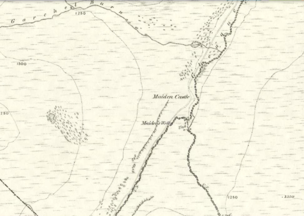
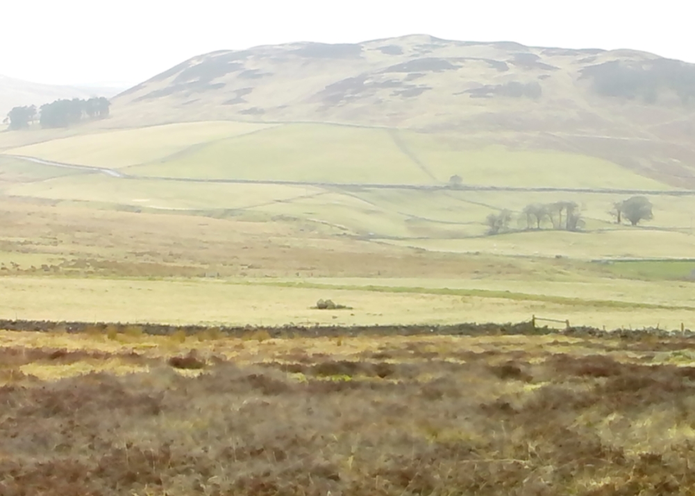
Take the small steep road uphill from the town of Dollar in Clackmannanshire towards Castle Campbell. Less than 100 yards above the small parking spot by the small white house near the top of the hill, turn to walk up the footpath on your right above the house, following the edge of the depleted forestry plantation parallel with the valley. Cross the valley a few hundred yards up, but keep to path on the other side that stays parallel with the stream. You’ll hit a small rocky glen a half-mile up. Walk thru it, alongside the very edge of the forest till the trees break and there’s a gap in the hills. You’ve just walked past the Maiden’s Well and in front of you is a large natural rounded hill, which the footpath bends around. This hill is the Maiden Castle. (if you walk round this, a view into the eastern hills and a small lake opens up ahead of you)
Archaeology & History

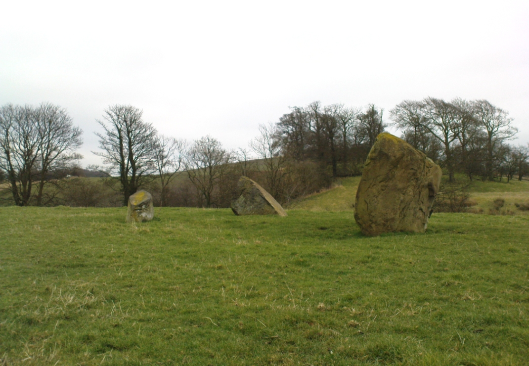
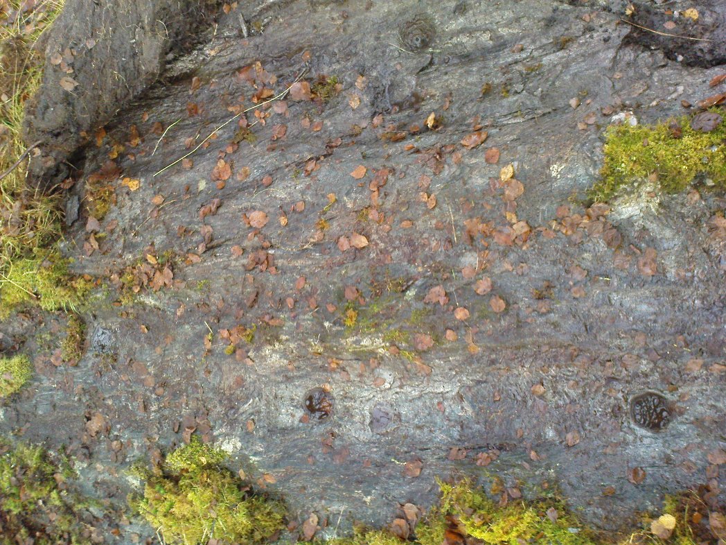
A large rounded hill marking the opening of Glenquey to the north and the Glen of Care to the south. Although ascribed in place-names old and new as a ‘castle’, there are no remains as such left here to account for this title. Angus Watson (1995) tells of the possibility of the place deriving its name from the Gaelic Creag Ingheann, or maiden crag. In Bruce Baillie’s (1998) survey of the area, in trying to give some relevance to the place-name, he points out that whilst no hillfort or cairn that might help account for the folklore (see below),
“Large-scale maps indicate a spot opposite on Hillfoot Hill as Greig’s Grave. There would seem to be something ancient here but of what nature it is, at the moment, impossible to say.”
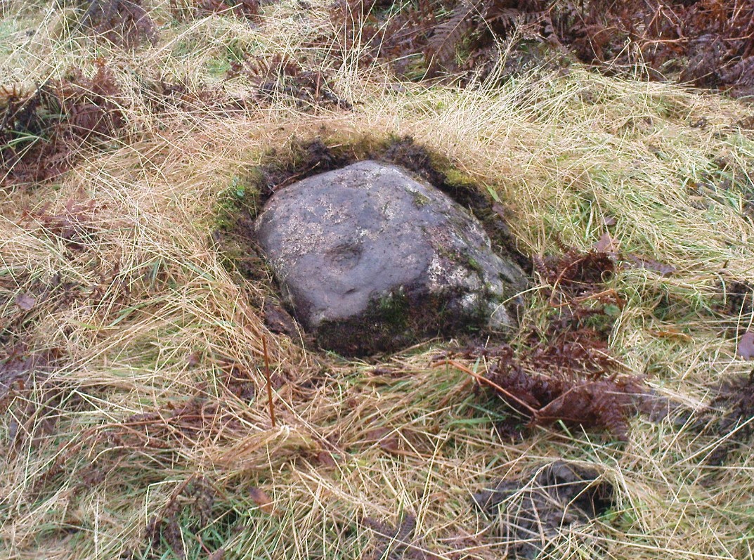
When we visited the place yesterday, snow still covered much of the ground hereby, so we couldn’t do our usual explorations seeking for old sites (even the hut circles 100 yards away were covered over). The legendary healing waters of the Maiden’s Well are below here, by the side of the burn.
Folklore
This large rounded hillock was evidently a place of some importance in bygone days if the folktale here is anything to go by. Although the story echoes the some of the core sequences of modern ‘close encounter’ abduction events, other ingredients here tell of more arcane peasant rites that were once part of the social structure of our ancient heathen tribes:
“A piper, carrying his pipes, was crossing from Glendevon to Dollar in the grey of the evening. He crossed the Garchil (a little stream running into the Quaich), and looked at the Maiden Castle and saw only the grey hillside and heard only the wind soughing through the bent. But when he had passed beyond it, he suddenly heard a burst of lively music and turned round to look at what was causing it. And there, instead of the dark knoll which he had seen a few moments before, he beheld a great castle, with lights blaring from the windows, and heard the noise of dancing issuing from the open door. He went back somewhat incautiously to get a closer view, and a procession issuing at that moment from the Castle’s open door, he was caught up and taken into a great hall ablaze with lights, while people were dancing on the floor. He was at once asked to pipe to them and was forced to do so, but agreed to do so only for a day or two. At last getting anxious, because he knew his people would be wondering why he had not come back in the morning, as he had promised to do, he asked permission to return home. The faeries seemed to sympathise with his anxiety and promised to let him go if he played a favourite tune of his, which they seemed fond of, to their satisfaction. He played his very best. The dance went fast and furious, and at its close he was greeted with loud applause. On his release he found himself alone in the grey of the evening, beside the dark hillock, and no sound was heard save the purr of the burn and the soughing of the wind through the bent. Instead of completing his journey to Dollar, he walked hastily back to Glendevon in order to relieve his folk’s anxiety. He entered his father’s house and found no kent face there. On his protesting that he only gone away for a day or two before, and waxing loud in his bewildered talk, a grey old man was aroused from a doze beside the fire, and told how he had heard when a boy from his father that a piper had gone away to Dollar on a quiet evening, but had never been seen or heard since, nor any trace of him found. It turned out the piper had been in the ‘Castle’ for a hundred years.”
The Fortean experts John Keel (1971) and Jacques Vallee (1970) both contended, quite rightly, that some aspects of the ancient encounters related in such folklore has strong parallels to modern UFO ‘abduction’ events. In addition, Paul Devereux (1989) cites that such events occur where strong geomagnetic forces exist in proximity to rock outcrops, as found here.
There is the additional feature in these stories of the music of both faerie and pipers alike, whose revelling jigs carry the mortal out of time and, when returning back to human life, find no one recognises them. This is a condition of some rites of passage in traditional societies, where mothers and fathers no longer recognise their child after they have been through the rituals after visiting spirit-lands and returning as adults for the first time: an element in our faerie-lore that has been overlooked in assessing the nature of these fascinating tales.
References:
- Baillie, Bruce, History of Dollar, DMT: Dollar 1998.
- Devereux, Paul, Earthlights Revelations, Blandford: London 1989.
- Fergusson, R. Menzies, The Ochil Fairy Tales, David Nutt 1912.
- Keel, John A., UFOs: Operation Trojan Horse, Souvenir Press: London 1971.
- Rhys, John, Celtic Folklore – Welsh and Manx: volume 1, Oxford University Press 1901.
- Vallee, Jacques, Passport to Magonia: From Folklore to Flying Saucers, Tandem: London 1975.
- Watson, Angus, The Ochils: Placenames, History, Tradition, PKDC: Perth 1995.
© Paul Bennett, The Northern Antiquarian