Enclosure: OS Grid Reference – NN 7874 1676
Getting Here

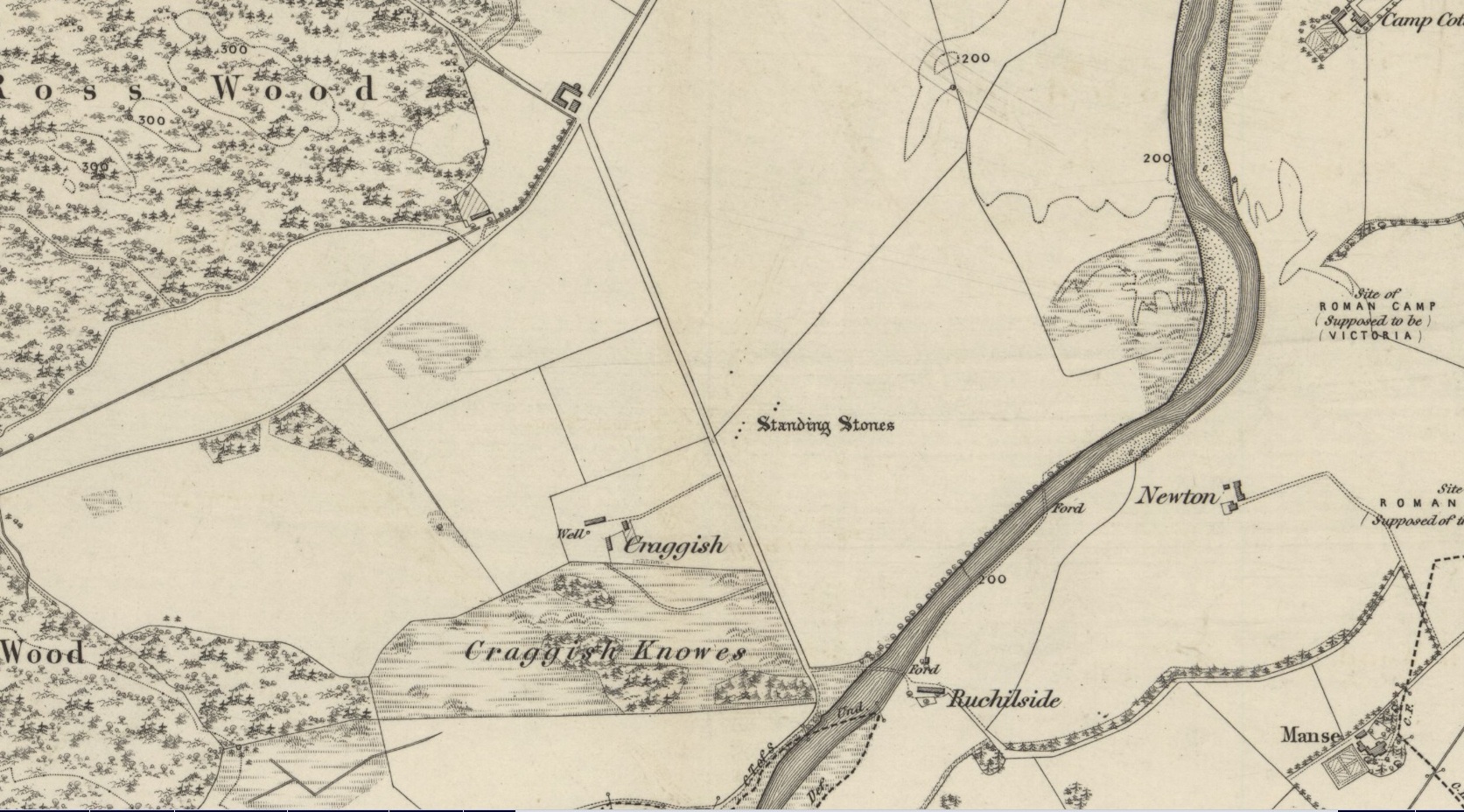
From Comrie town centre take the road south across Dalginross Bridge over the river, heading towards Braco, up the winding B827 road for 3 miles, past the tiny crossroads that would take you to the Craigneich standing stone, and past the farmhouse of Middleton as you go uphill. As you go round a bittova large bend in the road, take the next gate uphill, over the field and onto the moor. Follow the walling up a few hundred yards until it bends round and you see the Dunruchan monoliths ahead of you on the moor. From here, walk east into the heather, up a slight grade for 100 yards or more, keeping your eyes peeled for a large oval change in vegetation, covering a mass of small stones with several large ones at its NW sides. Your damn close!
Archaeology & History
I can find no previous reference to this large oval walled enclosure, either on the internet, PSAS or other local history texts, so assume for the time being that it is a new find (someone please lemme know if there’s owt written about it). But it’s existence here is not surprising, considering the presence of the giant standing stones of Dunruchan rise a few hundred yards to the east.

The ‘enclosure’ is a large one and would seem to be prehistoric at first glance. I’d appreciate someone with greater local knowledge have a look at the place to see if they can contextualize it in relation to other local monuments of similar type. Paul Hornby and I approached it from the Duncruchan megaliths and, as the vegetation here was low, noted an overgrown rocky rise in the heather and moorland grasses. This turned out to be the northern line of walling and is nearly 3 feet high in places, though very overgrown. Typically comprising of many hundreds of small rounded stones and the occasional large ones, the walling took on an elliptical form – giving the impression of an early Iron Age to Bronze Age structure – roughly 79 yards in circumference, 29 yards across at its longer axis and 23 yards wide at the shortest. The average width of the walling itself was 2-3 yards all round the entire structure.
My initial impression was that this may have been a very large robbed-out cairn, and the presence of many small rocks scattering inside the enclosure didn’t help! But the more I walked round the site, the more it seemed obvious that this was a large enclosure, or possible settlement. Unfortunately the site has proved very difficult to photograph due to the excess of vegetation. Further visits are needed to this site by those more competent than I, to ascertain the real nature of these antiquarian remains…
© Paul Bennett, The Northern Antiquarian


")