On the level ground a half-mile south of the large Fairy Knowe prehistoric tomb, Bridge of Allan had a site of its own up until being destroyed sometime in the 19th century. Nothing much is known about the tomb – or “cist containing a skeleton”, as the Royal Commission (1963) lads called it – apart from the notes given in J.E. Alexander’s (1868) essay on the Fairy Knowe, where he told:
“It is right, however, to mention, that a few years ago, in digging the foundations of the house of Annfield, Bridge of Allan, at nine feet from the surface, there was found in the sand, and apparently undisturbed, a fine cist, containing the skeleton of a young female; and under the right arm was a small clay urn, corroborating the opinion of Professor Innes, that in many cases the so-called urn was simply a domestic jar to contain food for the deceased.”
A Mr R. Swift from Bridge of Allan told that the cist was located at the newly-named Lentran, along Kenilworth Road. Does anyone know anything more about it?
Royal Commission on the Ancient & Historical Monuments Scotland, Stirlingshire: An Inventory of the Ancient Monuments – volume 1, HMSO: Edinburgh 1963.
Dead easy to find. Get into the centre of the lovely little town centre of Kincardine, down High Street, and there upon its steps at the roadside, you can’t miss the it!
Archaeology & History
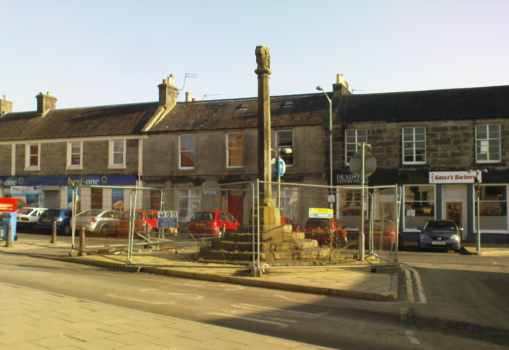
A few days ago when I came to have a look at this old cross (17th century according to the Royal Commission) it was surrounded by protective railings while some work was being done in the town centre. Thankfully it was a glorious bright day and allowed for some good photos!
It is a typical mercat cross, as Mair (1988) called them: a stone pillar, mounted on steps, with some sort of crowning edifice on top. The monument was described in the Royal Commission (1933) report of the region, where they wrote:
“The market cross stands at the southern end of High Street and consists of an octagonal shaft with moulded base and capital, placed on a rise of six octagonal steps, having a spread of 14½ feet. Above the square abacus is a stone sculptured with the arms of the Earls of Kincardine on the one side and a thistle ornament on the other. The arms are: Quarterly, 1st and 4th, a lion rampart; 2nd and 3rd, a saltire and chief. The shield is flanked by two men in armour as supporters, is surmounted by a coronet and helm, mantled and wreathed, and has for crest a naked arm, flexed, issuing out of a cloud and holding a man’s heart. The cross must be later than 26 December, 1647, when the Earldom was created.”
References:
Beveridge, David, Culross and Tulliallan: Its History and Antiquities – 2 volumes, William Blackwood: Edinburgh 1885.
Mair, Craig, Mercat Cross and Tolbooth, John Donald: Edinburgh 1988.
Royal Commission on the Ancient & Historical Monuments, Scotland, Inventory of Monuments and Constructions in the Counties of Fife, Kinross and Clackmannan, HMSO: Edinburgh 1933.
Small, John W., Scottish Market Crosses, Eneas Mackay: Stirling 1900.
Go west out of Dunfermline on the A994 till you hit the Torryburn roundabout, taking the A985 Kincardine road. Barely a half-mile along, stop at the first parking lay-by at the roadside – and there, over the barbed wire fence, you’ll see your standing stones right in front of you.
Archaeology & History
The Tuilyies standing stones
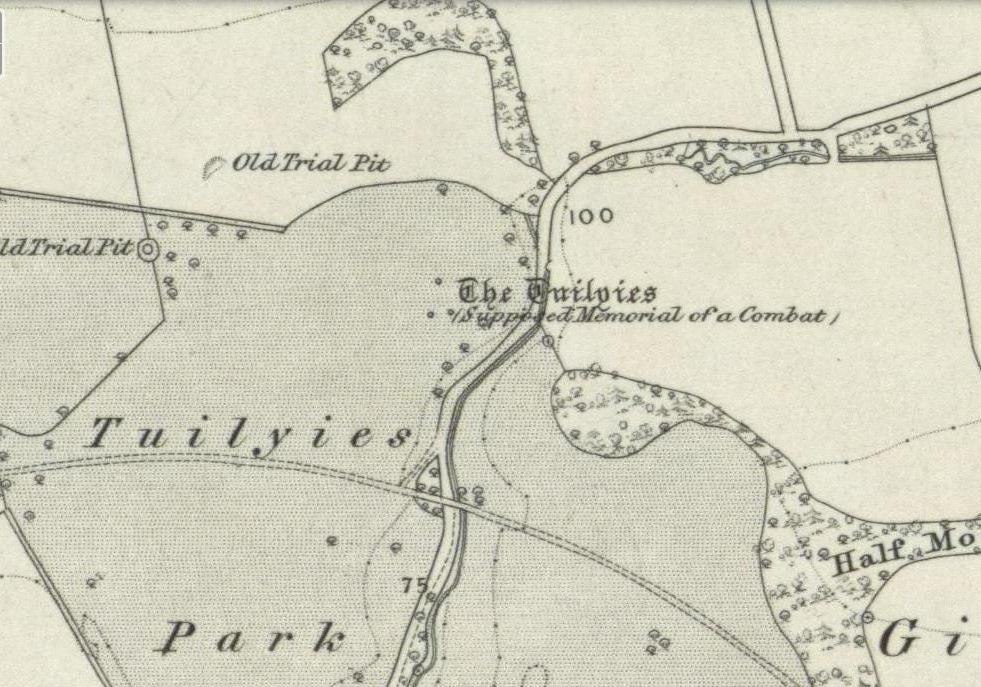
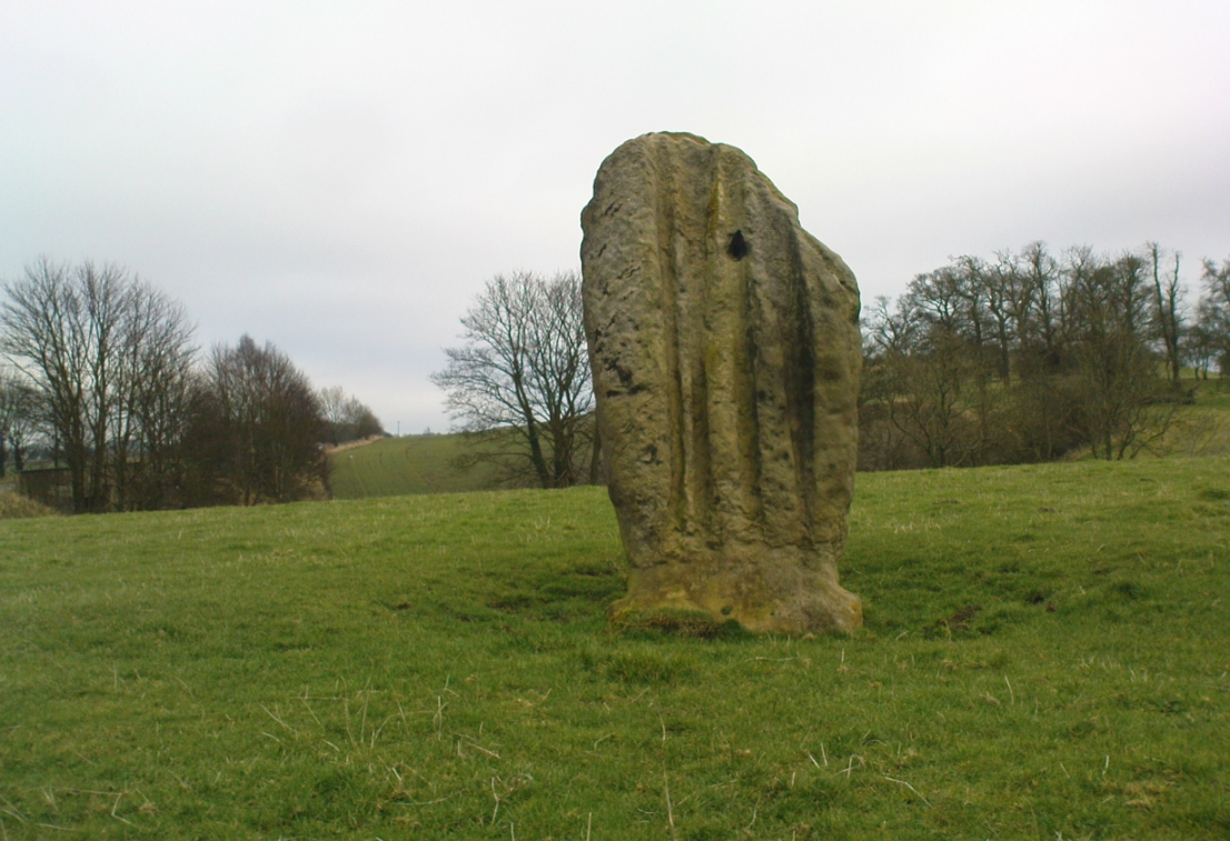
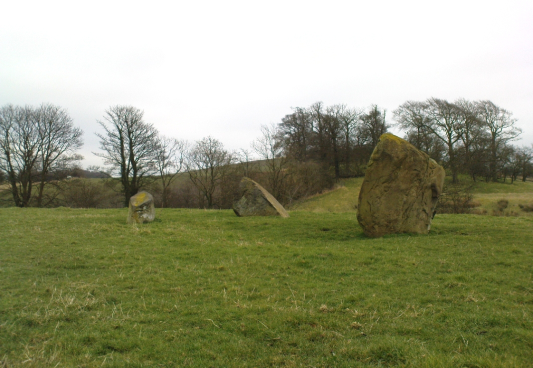
Overlooking the northern shores of the Firth of Forth is this fascinating group of standing stones which, old lore told, was once an old stone circle. You can see what they meant. The Tuilyies consists of a small group of three stones, between 3 and 7 feet tall, arranged in the form of a scalene triangle; and about 20 yards away stands the more impressive outlying 8 foot tall upright stone, somewhat akin to a petrified ancestor, with both natural and man-made cup-markings on at least two sides of its slim body. This outlying stone is of a very different character to that of its close neighbours—and a different type of stone as well—and is very similar in both size and appearance to the Robin Hood Stone at Allerton, near Liverpool. Curious…
The east-facing cup-marked Tuilyies stoneNatural ridges on its west-face
Whether the stones here were part of a stone circle we don’t know for sure. It was suggested as such in 1793 and Aubrey Burl (2000) includes them in his primary survey, but we have little evidence to prove as such nowadays. The parish of Torryburn not only had to contend with industrial agriculture knocking down any stones that may once have stood here, but in the 17th century the village also had to tolerate the psychiatric delusions of one reverend Allan Logan: one of the many deranged priests who saw witchcraft and demons in everything natural or animistic, persecuting local people for their old traditions, herbalism and peasant-lore. (Beveridge 1885; Cunningham 1902; Webster 1820, etc) These old stones were unlikely not to have received his depraved attention. But thankfully, some remain standing…
The Tuilyies seem to have been described first of all in the 1793 Old Statistical Account of Scotland—and in that narrative we find one of the earliest descriptions of cup-markings. It told that,
“In a pretty extensive plain field NE of the village of Torryburn, there is a flat stone, raised upon one end, of a shape nearly oblong and measuring, from the surface to the top, about 8 feet, and about 4½ in breadth, Round the edge of it there is a deep circle, and on each of the sides a number of ridges, all of which wear the appearance of art and antiquity. At about 18 or 20 paces from this stone, there is a number of smaller ones, which, from their present position, seemed to have formed part of a circle.”
Many years were to pass before these old stones heard from the men of words again. This time it was the renaissance of cup-and-ring designs that brought them back to light, when Sir James Simpson (1866), in his massive precursory essay to British Archaic Sculpturings (1867) talked about them:
“The stone at Torrie, Fifeshire…is a flattened sandstone flag, deeply guttered in longitudinal lines, and presenting cup- markings on its eastern side. It has been attempted to be made “a holed stone,” like (the) this block at Ballymeanoch (Argyll), but the artificially splayed perforations from the opposite sides do not meet in the middle. About fifty paces from it are the remains of a small circle of stones.”
The triangle of standing stones
Unusually, J. Romilly Allen only mentioned the stones in passing, simply repeating Simpson’s earlier words. Even local historians gave the site scant attention. In David Beveridge’s (1885) magnum opus he gave only a brief mention of the stones; and A.S. Cunningham (1902) did likewise. Thankfully after a visit to the stones by the Royal Commission lads in May 1925, a more detailed description was given. They wrote:
“The site of the cup-marked standing stone…is a plateau, 150 feet above sea level, in a field on Torrie Estate about half a mile to the northeast of the village of Torryburn, and on the north side of the drive to Torrie House. At a distance of 60 feet from it are three huge boulders, and the four are said to be the remains of a circle, although that idea is not borne out by their present disposition.
“The cup-marked stone rises to a height of 8 feet above the ground and has its narrow faces to the north-east and south-west. It is of irregular form, narrowing somewhat at 7 inches from the base, expanding outwards at the middle, and contracting again to a roughly convex top. On the east face the lower portion is covered with cup-marks. which vary from 1½ to 5 inches in diameter and from 1½ to 2 inches in depth. At a height of 6 feet from ground level, in the south-west angle of the stone, is a cavity 7 inches in depth, while there is a similar cavity of like depth opposite to it on the west face. The stone is also marked on the east and west faces, as well as on the top and down the narrow sides, with a series of perpendicular grooves of varying depth, but all these channels are due to weathering. Its measurements are: north face, 1 foot 3 inches; south face, 1 foot 4 inches; east face, 4 feet 4 inches; west face, 4 feet 3 inches; girth at base, 10 feet 8 inches; at 7 inches up, 8 feet 10 inches; at middle, 10 feet 5 inches.
“The three other boulders are set in the form of a triangle immediately to the south of this cup-marked stone, at intervals of 12, 15 and 16 feet apart. One has evidently fallen from an upright position and now lies with its major axis north and south. None of the three shows any markings. They are of whinstone, while the cup-marked standing stone is of grey sandstone.”
But as for the lack of cup-markings on the outlying smaller stones, when Ron Morris (1973) examined the site in the ’70s, he found what seemed to be some cup-marks on the largest of the group of three stones, as shown in the photos. On this he reported,
“25yds S of the well-known cup-marked standing stone are 3 large boulders. The W of these, measuring 7′ x 4½’ x 3½’ high, bears on its slightly W-sloping top surface 7 cups cup to 2″ diameter and ½” deep.”
When I visited the site the other day, these were difficult to see—cos as the photos here show, Nature gave us a bittova dark grey day and such carvings are notoriously temperamental when weather conditions aren’t to the stone’s liking!
Folklore
The Old Statistical Account of 1793 told that the stones were supposed to have “been the scene of a battle in some former period, and these stones…mark the graves of some of the chiefs, who had fallen in the engagement.” The lore was echoed in David Beveridge’s (1885) huge local history work, where he informed the reader that many standing stones along the Forth,
“are all connected with the Danish incursions. One specially may be mentioned, standing near Torryburn, the parish adjoining Culross, in a field which is still known by the name of the Tuilzie, or Battle Park.”
Morris, Ronald W.B., “Torryburn, Torry – Cup-Marked Rock’, in Discovery & Excavation in Scotland, 1973.
Royal Commission on the Ancient & Historical Monuments, Scotland, Inventory of Monuments and Constructions in the Counties of Fife, Kinross and Clackmannan, HMSO: Edinburgh 1933.
Simpson, James, Archaic Sculpturings of Cups, Circles, etc., Upon Stones and Rocks in Scotland, England and other Countries, Edmonston & Douglas: Edinburgh 1867.
Webster, David, A Collection of Rare and Curious Tracts on Witchcraft and Second Sight, D. Webster: Edinburgh 1820.
This lovely standing stone can be a pain-in-the arse to get to! Unless you wanna clamber over the excess of increasingly stupid deer fences that are appearing all over the place (old locals aint happy), follow the directions to the Tir Artair cup-marking, then walk across to the fencing and follow it all the way down into the fields until you reach the stream on your right, running in front of the fenced woodland. There’s a large gate here into the trees. Go thru it. In front of you is some overgrown walling into the trees: follow this along, slowly, keeping your eyes peeled for the upright stone about 100 yards in. Good luck!
Archaeology & History
The old mossy stone
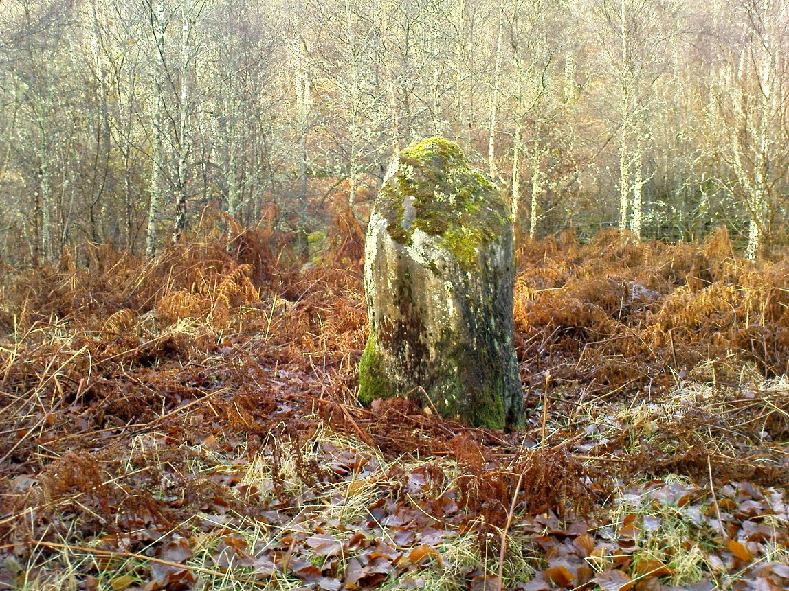
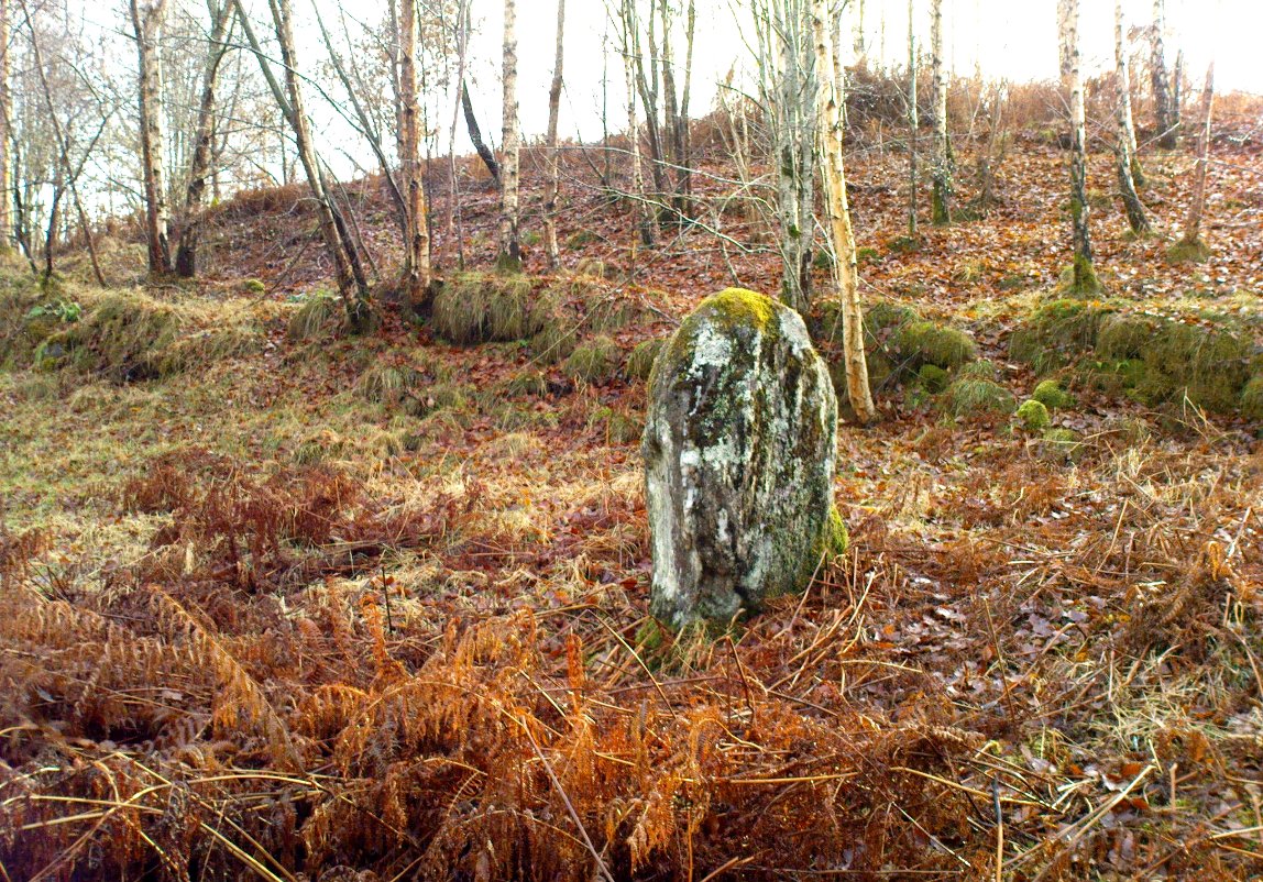
In this “land of Arthur”—as the place-name means—we find this beautiful moss and lichen-encrusted standing stone, living alone in remains of mainly birch woodland. It stands less than 5 feet tall, just in front of some old walling encircling one of the many rounded knolls in this area. The stone may have had some megalithic partners in bygone days, as we find, about 25 yards away sleeping amidst overgrown vegetation beside an old oak, a couple of other old stones laid on the ground that seem to have been placed here by human hands. Their antiquarian nature is unknown.
References:
Gillies, William A., In Famed Breadalbane, Munro Press: Perth 1938.
Take the A827 road out of Killin to Fearnan and Kenmore. A mile or so out of Killin, keep going go past the entrance to the Finlarig Power Station for just another 2-300 yards, keeping your eyes peeled for the small track on your right. Go down here. About 100 yards down the track bends, then another 50 yards it bends again – and just here there’s a small clump of trees, right by the bend. You’re looking for the large flat rock therein. You’ll see it!
Archaeology & History
Close-up of cupmark
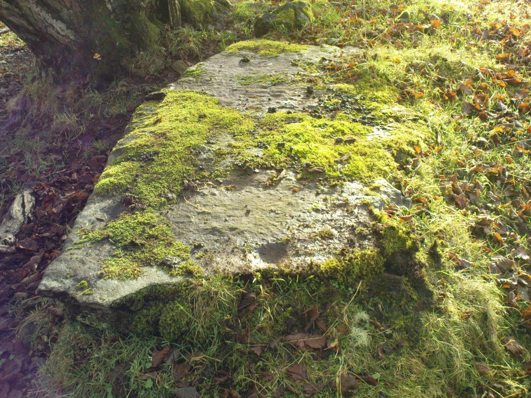
Although listed by the lads at Canmore, I can find no previous literary reference to this stone — which is a simple thing to be honest: probably of little value to anyone unless you’re a real petroglyph fanatic! The large flat rock has a single large cup-marking on its northern edge, 3 inches across and nearly an inch deep. If you’re gonna visit here, you may as well check out the standing stone further down, in the trees on your right.
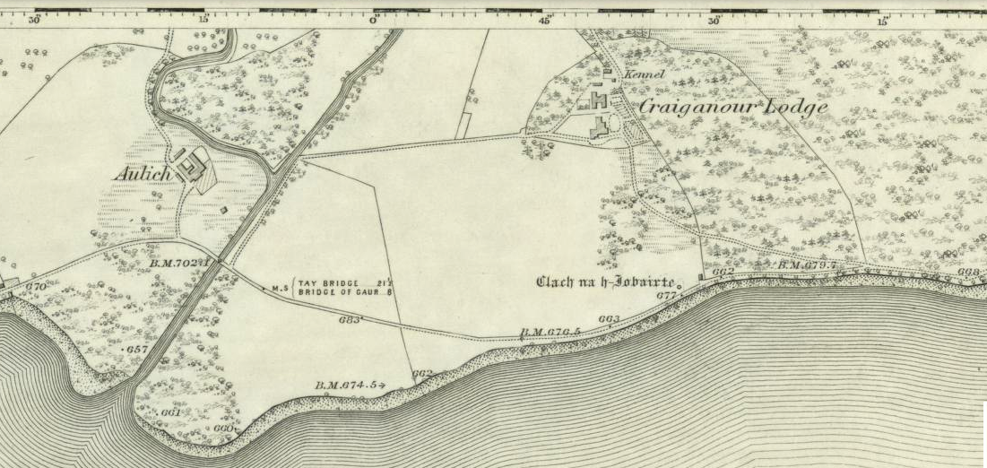
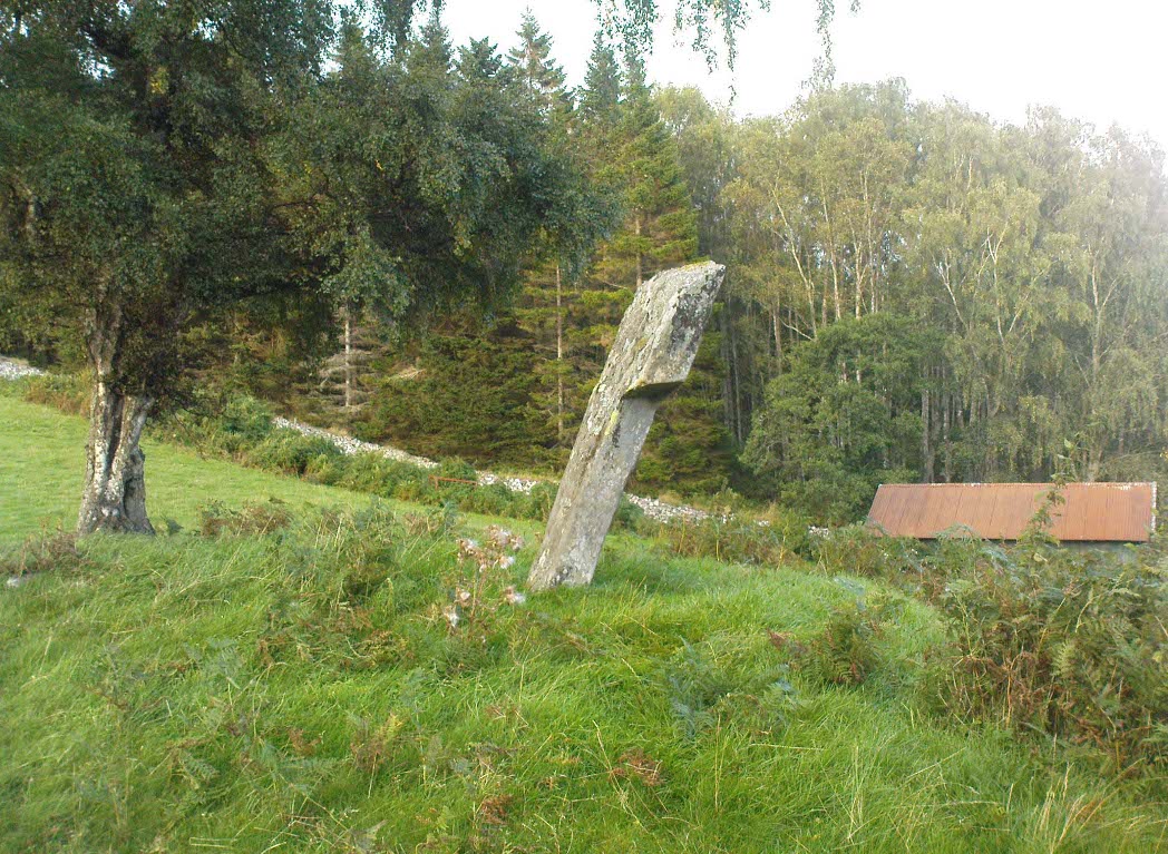
From the gorgeous village of Kinloch Rannoch, take the road along the north side of Loch Rannoch for about 2½ miles. As you go along the road, for a good mile or so it is wooded. Where the woods stop and the first field appears on your right, stop! You’ll see the standing stone perched erotically at an angle above you.
Archaeology & History
Clach na h-Iobairte, looking east
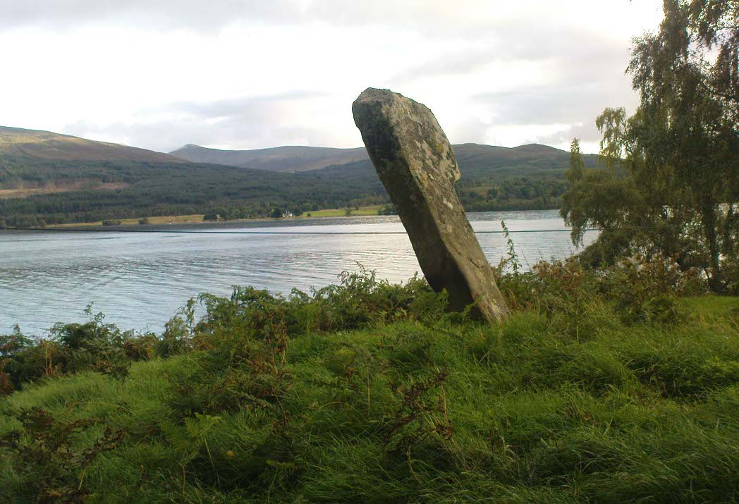
A fascinating site in a quite beautiful setting, typical of the Highlands. This stone of many names is a curiously-shaped monolith: like an erect stone penis at the edge of the field when seen from the roadside, calling out to christians and pagans alike, to be castigated or rubbed—whatever the religious preference of the surveyor! Leaning over at a slight angle, the stone is still nearly six feet tall and lives upon a large and equally prehistoric stone cairn about 30 feet across. This cairn, it is said, has been added to by locals when the field was cleared of stone and piled on top of the old tomb. No excavations have been done here, nor at the large ‘hut circle’ in the same field about 50 yards away.
Folklore
So far I have only found a short narrative of this stone in the pages of T.R. Barnett’s (1944) loving account of the Perthshire hills, where he tells that, close by the stone at Aulich, was once
“a famous smith, said to be in league with the devil, and he made the finest claymores in Rannoch.”
References:
Barnett, T. Ratcliffe, The Road to Rannoch and the Summer Isles, John Grant: Edinburgh 1944.
Cunningham, A.D., A History of Rannoch, privately printed 2004.
Follow the same directions as if you’re going to the Corrycharmaig East 3 carving. Walk off the rocky outcrop here, below the tree, and head diagonally across the boggy grasses back towards the River Lochay. After about 50 yards you’ll see a rocky promontory ahead of you that overlooks the very edge of the river, with trees around it. That’s the spot – right on the edge above the river!
Archaeology & History
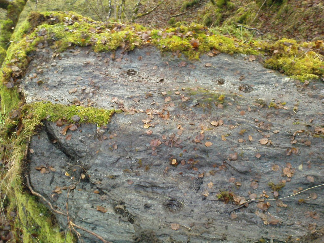
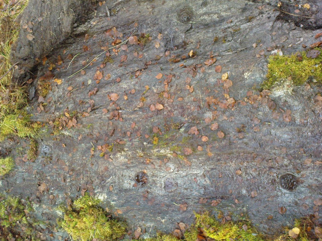
Cup-markings on the Corrycharmaig East 4 stone
For me, this was the most intriguing of the newly-found Corrycharmaig East carvings. Intriguing because this is on the same geological ridge as that on which the brilliant Stag Cottage carvings are found, right across on the other side of the river. That singular rise of rock emerging from the field, heading to the river, continues on this side — though is much less conspicuous here, and is much smaller and covered with olde trees and Nature’s marshy greenery. It was this fact which led me to look at these rocks in the first place…wondering if our neolithic ancestors had continued etching their mythographies on the other side of the living waters. And so it turned out.
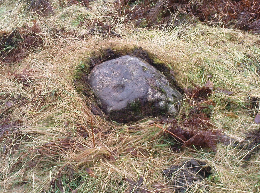
But don’t expect anything like as impressive as the Stag Cottage carvings. Here instead, as the photos show, are just five distinct cup-markings: three running along one line near the SE side of the stone, with another two on its NW side. The cups are all roughly the same size, being a couple of inches across; one is an inch deep. There may be more beneath the excess of mosses along this and the adjacent rocks, but I didn’t look.
Follow the directions as if you’re visiting the other Corrycharmaig carvings, but as you cross the bridge over the River Lochay, turn immediately left and follow the edge of the river down the field till you reach the fence. Go over here, but then head up the slope away from the river, over another fence up the small grassy hill ahead of you. As you near the very top of the hill, you’ll find the stone in question.
Archaeology & History
Small overgrown cairn 10 yards away
Found near to the famous Stag Cottage and Duncroisk carvings, this previously unknown example is found on a small rounded female stone, barely 2 feet by 2 feet across. The most notable feature is the large cup-marking, 2-3 inches wide and half-and-inch deep. When I first found the stone, twas a cloudy grey day and I wasn’t sure whether a small carved arc along one edge of the cup continued into a semi-circle — but as the photo here shows, the cup-mark seems to have a large faint ring going about three-quarters of the way round it. Hopefully I’ll get some better images of the stone when I visit again in the coming weeks.
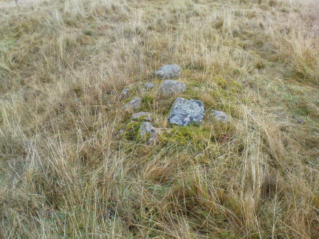
The stone gave the impression that it belonged in a cairn of sorts, but a brief rummage in the grasses immediately around the rock showed nothing. However, barely 10 yards down the grassy slope there was a small overgrown cairn — though it didn’t seem to have that prehistoric pedigree about it. This carving is one in a group of at least four others—including Corrycharmaig East 3—not previously catalogued. It’s likely that more remain undiscovered on the many other rocks nearby.
Cup-marked rocks of E.Corrycharmaig 3 (with the green hill of CE02 behind)
Follow the directions from Killin, down Glen Lochay, as if you’re going to the other Corrycharmaig carvings; but as you cross the bridge over the River Lochay, turn immediately left and follow the edge of the river along the field, crossing the first fence, keeping close to the riverside and over and over another fence. Head across the boggy grassland and you’ll see a small green outcrop of rocks just above the tree-line above the river. That’s the spot!
Archaeology & History
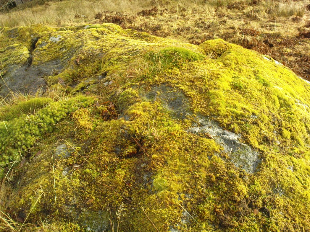
Two of at least 6 cup-markings on these mossy rocks
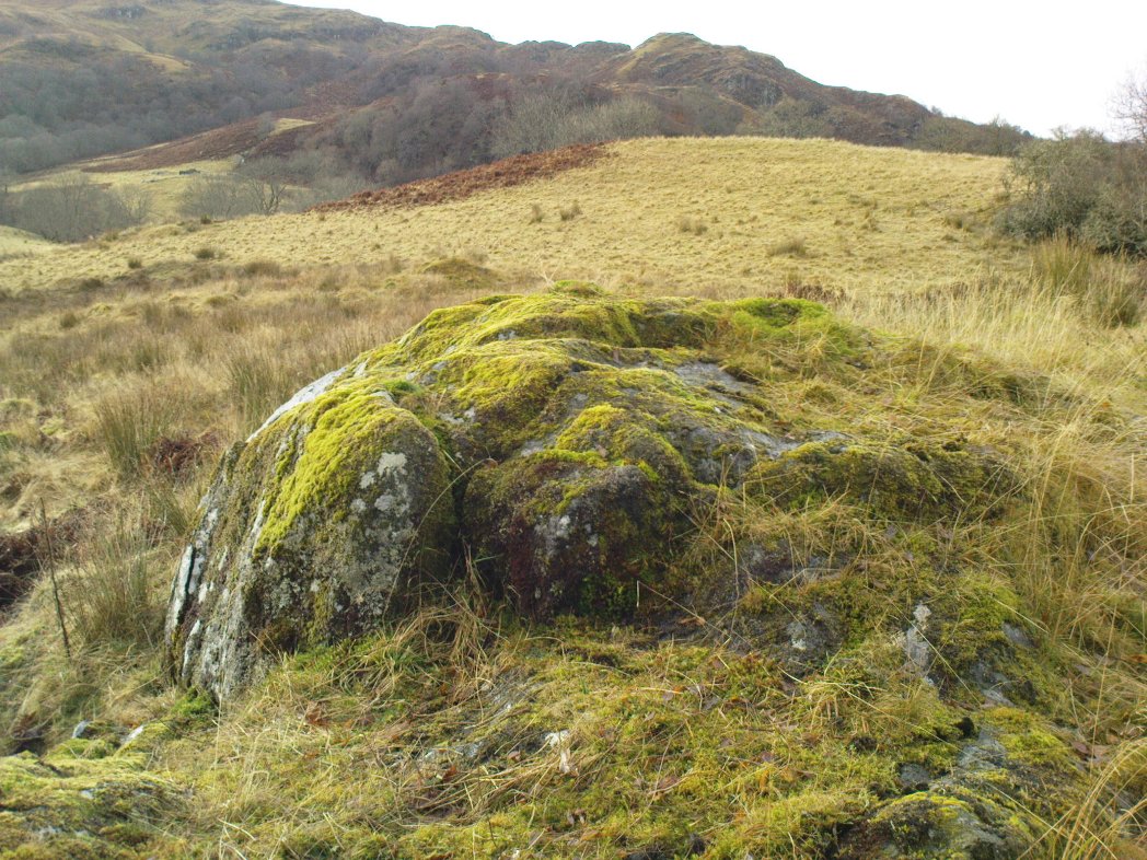
Another carving that’s a short distance from the famous Stag Cottage carvings on the opposite side of the river. This lovely moss-covered rocky mass has two sections of cup-markings on it – both of which have proved difficult to photograph because of the vivid green primal cover. It’s found less than 100 yards from the CE04 carving and below the hillock of the CE02 cup-and-ring (as you can see in the photo above).
The rock itself has two carved sections: an upper and lower section, with at least three cup-markings on the lower section and three on the upper portion as well. Some natural geological marks on the lower part of the rock may have been added to, but this is by no means clear. There may well be other elements to this ancient carving, but I wasn’t about to strip all the lovely moss from the stone just to find out. It’s a truly beautiful stone in a gorgeous setting and, despite the day being grey and overcast, I wasn’t about to defile the greenery here. It’s one of a group of at least four carvings east of Corrycharmaig that have not previously been catalogued. Other carvings likely remain to be found close by.
Healing Wells (destroyed): OS Grid Reference – NS 77 91
Archaeology & History
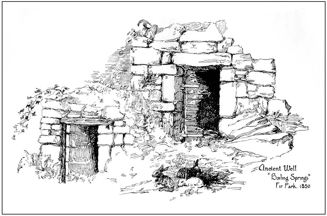
Old drawing of the lost wells
The old line drawing here is all that remains of a pair of healing wells that once bubbled up within their ancient stone well-houses, close to each other, in the middle of the old woods west of Stirling in the massive quarries at Gillies Hill. It’s possible that the large pools of water that are now in the overgrown quarries are thanks to these ancient wells; although one of them was close to the old building of Fir Park, whose overgrown remains are within the woods at grid-reference NS 7787 9124. Very little has been written about these wells, but thankfully the local historian Mr Fleming (1898) captured their demise in his lovely antiquarian work, saying:
“The sketch, opposite (taken in 1850) of the picturesque wells, then situated in a marshy dell and surrounded by a dense pine wood near to the ancient ‘Boiling Springs’, now dried up by the sinking of the lime pits, and immediately off the old bridle road from Stirling to Glasgow by Murrayshall, shows very ancient remains of wells connected with the original water supply of Stirling by lead pipes from ‘Lessfeerie Springs’, situated in the Touch Hills. This supply was begun in 1774, and thus antiquity and interest are given to the sketch. These wells, with their fringes of mosses and ferns and bramble bushes, are now, with the pine wood, demolished, and the whole face of the district changed by the operations in a quarry recently opened up in Gillies Hill crag, causing the locality to be now unrecognizable.”
References:
Fleming, J.S., Old Nooks of Stirling, Delineated and Described, Munro & Jamieson: Stirling 1898.