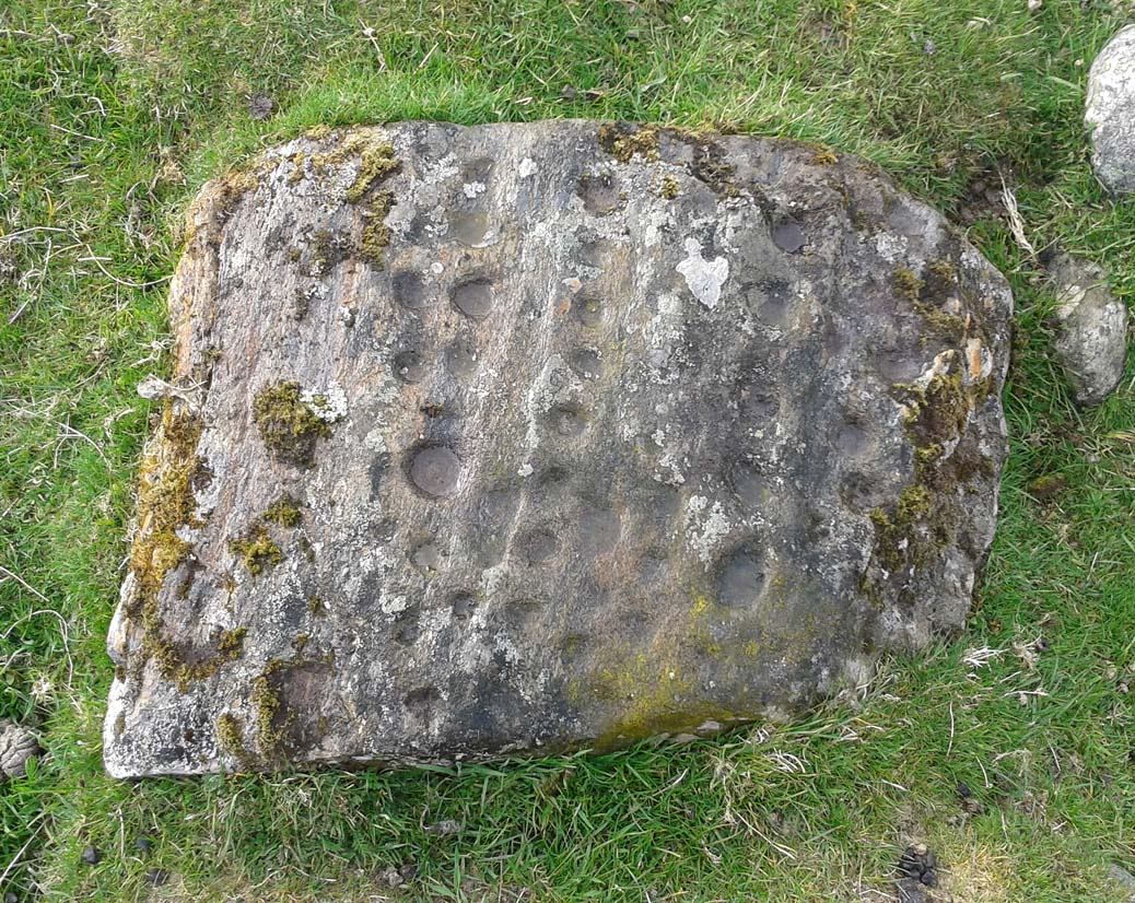
Tombreck (07), Ben Lawers, Kenmore, Perthshire

Cup-Marked Stone:  OS Grid Reference – NN 65022 38285

Also Known as:

  1. Canmore ID 238573

Getting Here

Tombreck 7 carving, beneath Ben Lawers

Tombreck 7 carving, beneath Ben Lawers

Take the A827 road that runs alongside Loch Tay between Killin and Kenmore, and about 6 miles from Killin watch out for the signposts for The Big Shed.  Stop and walk NW up the track across the road from there, up toward Ben Lawers.  Several hundred yards up, past the sheep-fold on the left-side of the track, a line of ruinous walling runs straight over the grasslands. Walk along here until it meets with the next walling that runs uphill.  Look down into where the wall has collapsed.  It’s under your nose!

Archaeology & History

This is a fascinating and pretty impressive example of a simple cup-marked stone.  It’s the design that does it I suppose – similar in some ways to the well-known Idol Stone carving on my old playground of Ilkley Moor (that’s what this one reminded me of when I first clapped eyes on it)—but much better!

Lines of cups from above

Lines of cups from above

The carving from the east

The carving from the east

Its similarity lies in the series of parallel rows of cup-marks running very close together along the line of the low-lying rock, found at the base of some ancient walling that runs up the mountain for several hundred yards.  Not only that, but the line of walling itself also has a parallel line of walling running adjacent for the same distance up the mountainside — more than half-a-mile from start to finish.  This “parallel” feature of walling and cup-markings is a curious coincidence, perhaps.  But certainly the linearity of the cup-marks was itself a very deliberate feature by the person who carved it, representing something ‘structural’, in whatever mythic form that may have been!

The carving in its walling

The carving in its walling

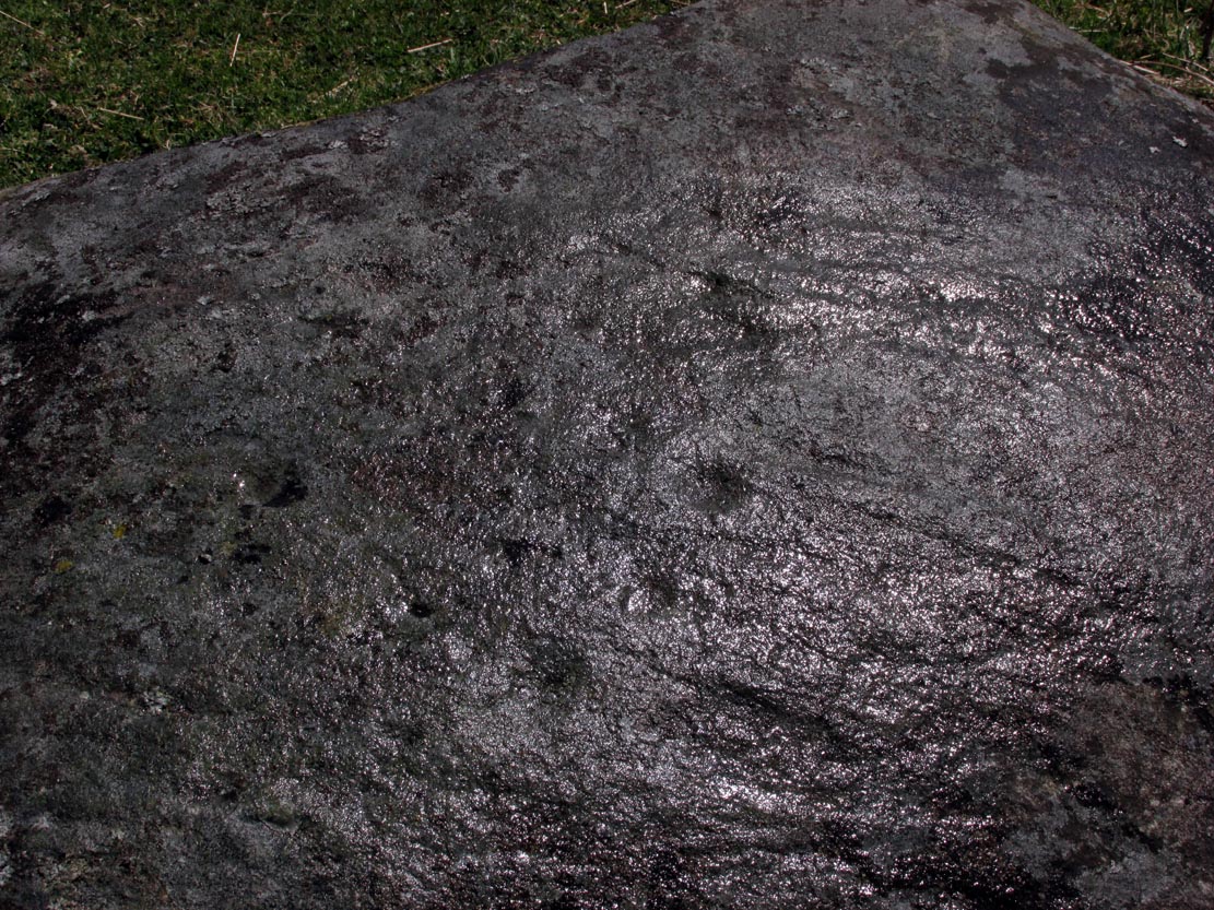
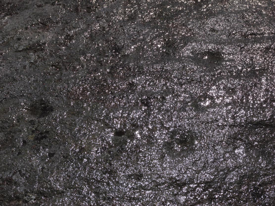
Of the rows of cups constituting this petroglyph, four of them run completely from one side of the stone to the other, rough north to south; with four other shorter rows running only halfway across the rock surface.  Altogether there are perhaps seventy cups etched onto the rock.  No rings or semi-circles of any form were visible in our visit here—although the skies were grey and overcast, making any decent visual analysis more difficult.

A damn good carving and well worth checking out by anyone into prehistoric rock art!

© Paul BennettThe Northern Antiquarian


Shealwalls Enclosure, Alyth, Perthshire

Enclosure:  OS Grid reference – NO 23922 51484  —  NEW FIND

Getting Here

Aerial view of the oval, at centre

Aerial view of the oval, at centre

Take the B954 north out of the Alyth, up through the hills.  After just over 2 miles (3km), take the left turn up to Bamff.  Go along here and past the copse of trees on your right for literally three-quarters of a mile (1.2km), where a gate takes you into the overgrown meadows on your right.  Walk back on yourself for about 100 yards or more, across the boggy stream and up the slope.  The embankments of this enclosure are right under nose!

Archaeology & History

Some 70 yards west of the little four-poster ‘stone circle’ of Shealwalls, is this previously unrecorded enclosure.  Oval in shape and well-defined at ground level, the great majority of the inside of this enclosure is relatively even and flat.  Around its perimeter there are, at intervals, a number of small stones defining its edges along its internal embankment, but these are intermittent and seem to have no deliberate architectural regularity: they may simply be elements of an internal raised platform that have become visible due to erosion processes.

Northwest section of ditch

Northwest section of ditch

At its greatest width from the edges of the outer ditch to outer ditch, the enclosure measures more than 22 yards (20.3m) east-west, and at its longest it is 30 yards (27.3m) north-south.  The circumference of the enclosure is between 88-89 yards (80m).  The average width of the surrounding or enclosing ‘ditch’ is between 2 and 2½ yards (2m) and it has a depth of no more than 2 feet all round.  All along the southern side, very little remains of the ditch and in sections it has been eaten into by foraging rabbits and cattle.  The most conspicuous section of the surrounding ditch and embankment is along the eastern length (where it gives the impression of being hengi-form in nature); the more rounded northern section of the ditch is very distinct, but is overgrown in Juncus reeds; whilst the western section of the ditch is clear until reaching its southernmost part, where its outer edges become less visible.

SW edge of enclosure

SW edge of enclosure

NE arc of ditch, looking west

NE arc of ditch, looking west

There seemed to be no visible structures within the enclosure itself, which added to my thoughts that the site was hengi-form in nature, as defined in the surveys by A.F. Harding (1987) and Jan Harding (2006).  However, it is best to maintain a simple description regarding the nature of the site until archaeological evaluation can give us a more accurate assessment.  Without excavation it is obviously impossible to give an accurate idea of its age, but its architectural form and similarity with other enclosures would seem to place its construction in the late Bronze Age to early Iron Age period.

The monument proved very difficult to photograph with any success as it is much overgrown and the bright sun was in the wrong place! (serious) So, another visit is needed in the hope that we can get better images.  A fascinating little site!

References:

  1. Harding, A.F., Henge Monuments and Related Sites of Great Britain, BAR 175: Oxford 1987.
  2. Harding, Jan, The Henge Monuments of the British Isles, Tempus: Stroud 2006.

© Paul BennettThe Northern Antiquarian


Long Man’s Grave, Abernyte, Perthshire

Tomb:  OS Grid Reference – NO 2218 3153

1867 OS-map of the site

1867 OS-map of the site

Also Known as:

  1. Canmore ID 30663
  2. Hoolmyre
  3. The Lang Man’s Grave
  4. MacBeth’s Grave

Archaeology & History

A little-known, but once important site in the mythic history of Scotland, this Long Man’s Grave was said to be the spot where MacBeth—described by Aitchison (1999) as “Scotland’s foremost King”—died.  It would seem that any remains of the stone which once stood here has gone.  When Robert Chambers (1827) told of the site, he said that

“At the bottom of Dunsinnan Hill, on the east side, and near the west end of a drystone wall which runs along the side of the road from Baledgarno, is a large stone about eight feet in length, beneath which MacBeth is said to have been interred.  It is usually called the Lang Man’s Graff, probably from a supposition that the stone was made to suit the length of the deceased.”

More than fifty years later when the Scottish historian Thomas Hunter (1883) wrote about the site, he thought that it had probably been a prehistoric one, telling that

“The tumulus, on being examined, proved to be a druidical stone that had toppled over, and no relic was discovered that could throw light on the tradition.”

Long Man's Grave on 1867 6-inch map

Long Man’s Grave on 1867 6-inch map

Site of the Long Mans Grave

Site of the Long Mans Grave

The site was shown on the earliest OS-maps of the region (as highlighted here), but we don’t know for certain about the exact nature of the site.  Although a bunch of lads from the Royal Commission popped along to see the place in 1969 and proclaimed (without excavation) that the stone was “probably a ‘grave slab’ and not a “standing stone” which has toppled over”, we have to treat their words with caution.  Close by are the remains of Bronze Age stone circles; above us we have the prehistoric hillfort of Dunsinane, with even older neolithic remains being found within it; and we also have neolithic rock art remains nearby; other prehistoric tombs, and plenty more besides…

Folklore

Echoing the early folklore of the site as narrated by local people, Hunter (1883) told that,

“the tradition of the district is that MacBeth, finding it impossible to escape from MacDuff, threw himself from the top of the (Dunsinane) Hill, was killed upon the rocks, and buried at the ‘Lang Man’s Grave’.”

References:

  1. Aitchison, Nick, MacBeth – Man and Myth, Sutton: Stroud 1999.
  2. Chambers, Robert, The Picture of Scotland – volume 2, William Tait: Edinburgh 1827.
  3. Hunter, Thomas, Woods, Forests and Estates of Perthshire, Henderson, Robertson & Hunter: Perth 1883.
  4. Melville, Lawrence, The Fair Land of Gowrie, W.Culross 1939.
  5. Pennant, Thomas, A Tour in Scotland and Voyage to the Hebrides – volume 2, London 1776.
  6. Royal Commission on Ancient & Historical Monuments, Scotland, South-East Perth: An Archaeological Landscape, HMSO: Edinburgh 1994.
  7. Sinclair, John, The Statistical Account of Scotland, 1797 – volume 11: South and East Perthshire, Kinross-shire, EP: Wakefield 1976.

© Paul BennettThe Northern Antiquarian
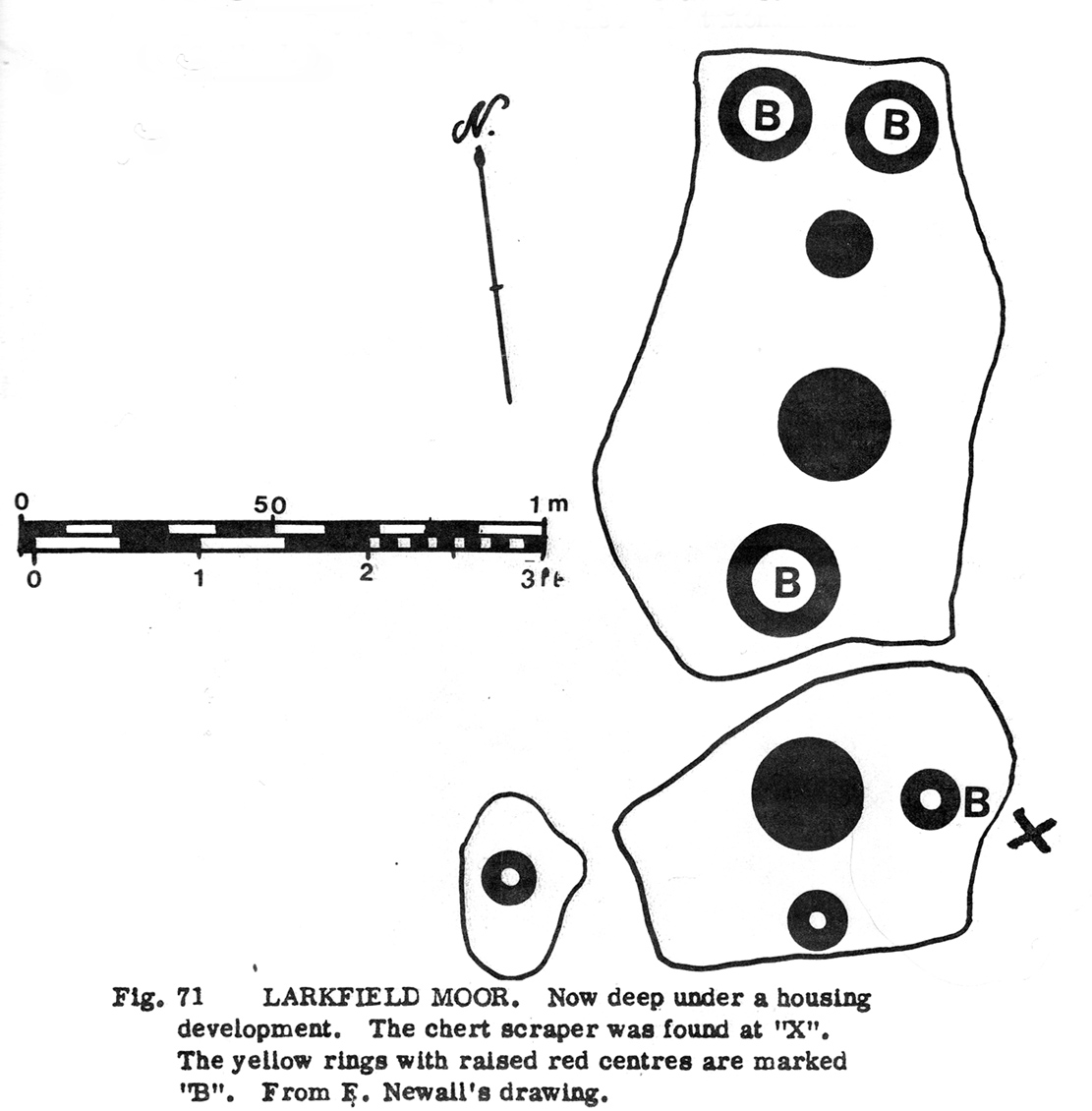

Lawers, Comrie, Perthshire

Standing Stone:  OS Grid Reference – NN 80102 22666

Also Known as:

  1. Canmore ID 25535

Getting Here

Lawers01 (9)

Lawers standing stone, Comrie

Take the A85 road between Comrie and Crieff.  Nearly 1.7 miles (2.7km) east out of Comrie—or 4 miles (6.44km) west out of Crieff—keep your eyes peeled on the fields to the south-side of the road, below and across the mansion of Lawers House.  Alongside a long but small plantation of trees you’ll see a large upright stone.  You can walk along the track adjacent to the field and through the gate.

Archaeology & History

The stone on 1886 OS-map

The stone on 1886 OS-map

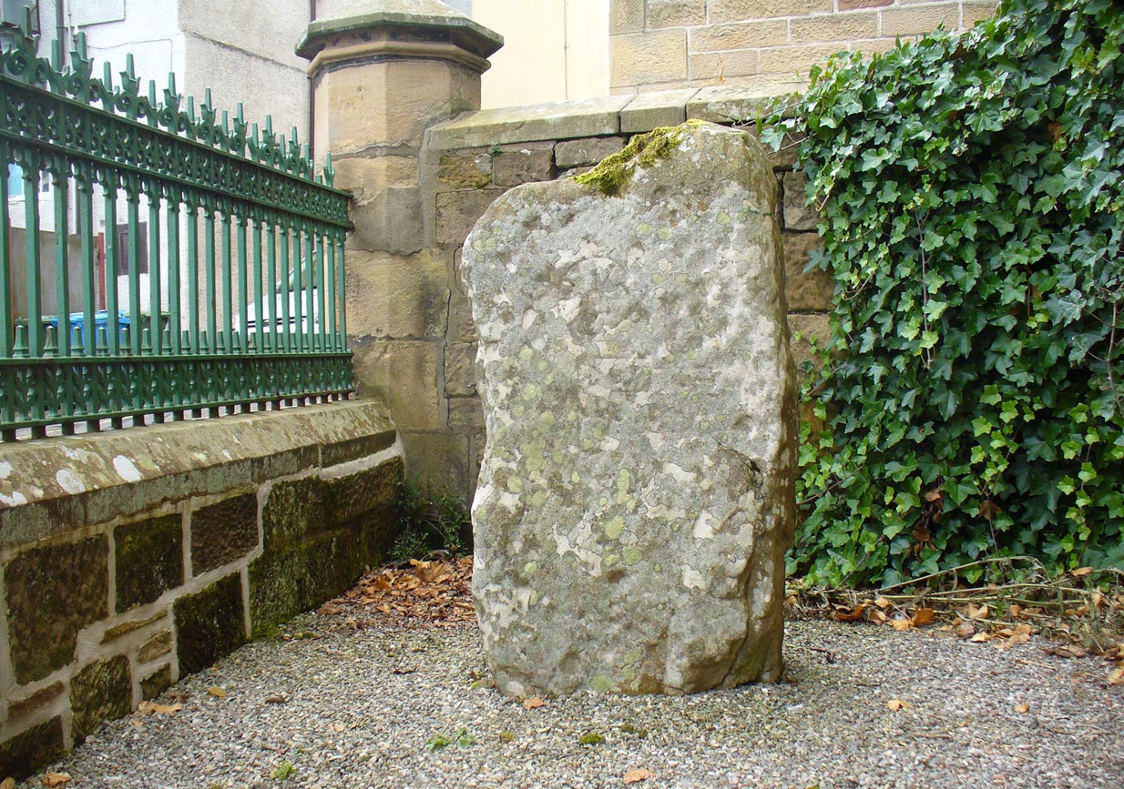
Shown on the early Ordnance Survey maps of the area, this probably neolithic monolith was suggested by Fred Coles (1911) to have once been part of a larger megalithic circle—although Aubrey Burl (2000) didn’t consider it as a good enough contender to be listed as such in his gazetteer; and unless we can have some positive affirmation, either through folklore or excavation, we should maintain its status as a singular monolith.  There is the possibility that it stood as an outlier or had some relationship with a nearby prehistoric tomb—but even this is contentious.  Nevertheless, the stone itself is an impressive one!

Mr Coles curiously got the size of the old stone wrong too (although, we have to give him credit, as he did all of his work without electricity or any of our modern ‘stuff’).  He wrote that:

“This massive boulder of whinstone is rounded at the base, where it girths 10 feet 3 inches, but tapers upwards to its apex of 5 feet 10 inches, with the eastern edge somewhat jagged and broken.  Near its base on the west is a small slab-like fragment of stone, quite earthfast.  The north and south surfaces are smooth and nearly vertical, and the longer axis is ESE 75º by WNW 75º.”

Fred Coles' 1911 sketch

Fred Coles’ 1911 sketch

Lawers monolith, looking SE

Lawers monolith, looking SE

The stone is actually larger than Coles described, being more than 6 feet 6 inches tall.  His sketch (right) “shows the stone from the east”, and is pretty much as we find it today.  A notable crack in the stone along the southern face, about a third of the way up, suggests that the stone was broken at some time in the past.

Local architect Andrew Finlayson (2010) included the stone in his local megalith guide and noted how the axes of the stone, east-west, lines it up with Ben Halton to the west and The Knock to the east.

References:

  1. Burl, Aubrey, The Stone Circles of Britain, Ireland and Brittany, Yale University Press 2000.
  2. Coles, F.R., “Report on stone circles in Perthshire principally Strathearn,” in Proceedings of the Society of Antiquaries, Scotland, volume 45, 1911.
  3. Finlayson, Andrew, The Stones of Strathearn, One Tree Island: Comrie 2010.

© Paul BennettThe Northern Antiquarian


Gray Stone, Dunning, Perthshire

Standing Stone:  OS Grid Reference – NO 02182 11809

Also Known as:

  1. Big Stane
  2. Canmore ID 26681
  3. Grey Stone
  4. Maormar‘s Stone

Getting Here

Grey Stone, looking NE

Take the B934 road south, uphill, out of Dunning, for 2.1 miles (3.4km), past Kippen, past Pitmeadow and past Quilts.  It’s the track to Knowes that you’re after!  Along this track, keep to the field-side on your right, following the edge of the fencing until you reach the small copse of trees.  At the far side of the trees a gate takes you into the field with the standing stone, which is just over 100 yards to the north. You can’t miss it!

Archaeology & History

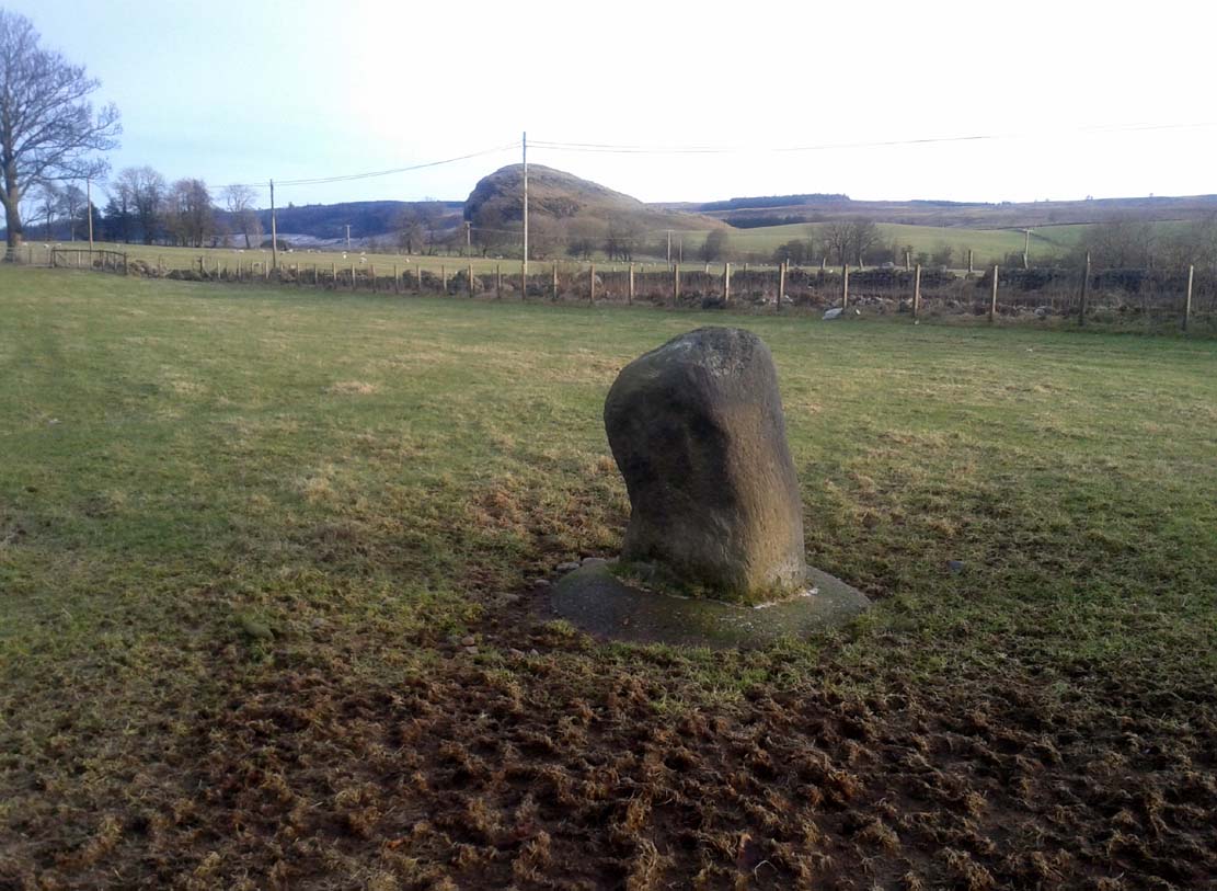
Although mentioned in several folklore works and just a couple of archaeology tomes, almost nothing has been written about this large upright standing stone.  A very bulky stone nearly seven feet tall, it has been broken into pieces at sometime in the recent past but, thankfully, good locals put the stone back together and placed it upright once again.  Its position in the landscape is quite superb, overlooking the lowlands of Tayside below and then far into the rising mountains of Perthshire and beyond, easy fifty miles or more.


Grey Stone, looking south
Gray Stone on 1866 map

Shown on the earliest Ordnance Survey map of the area, the name of the stone is somewhat of a puzzle, for in a lot of cases ‘gray’ stones are found on local boundary lines—indeed, the name gray stone and boundary stone are interchangeable in many cases—yet the nearest boundary from here is some distance to the east.  It may simply relate to the colour of the rock (although this is unlikely).  Whatever its reason, it’s an impressive stone and is well worth checking out!

Folklore

Gray Stone, looking east

The local farmer told that the field where the Grey Stone lives was known as the Big Stane Field.  Makes sense!  Legend has it that the Gray Stone was the burial place of Maormor, the Steward of Atholl in the Battle of Duncrub, after dying in Thanes Field (Watson 1995), on land to the north of Dunning village in 964-5 CE.

References:

  1. Holder, Geoff, The Guide to Mysterious Perthshire, History Press 2006.
  2. McKerracher, Archie, Perthshire in History and Legend, John Donald: Edinburgh 1988.
  3. Swarbrick, Olaf, A Gazetteer of Prehistoric Standing Stones in Great Britain, BAR: Oxford 2012.
  4. Watson, Angus, The Ochils: Placenames, History, Tradition, PKDC: Perth 1995.

© Paul BennettThe Northern Antiquarian


Glen Cochill Circle (01), Little Dunkeld, Perthshire

Hut Circle:  OS Grid Reference – NN 90324 41487

Getting Here

Glen Cochill Circle - No.1

Glen Cochill Circle – No.1

Take the same directions to reach the impressive Carn Ban prehistoric tomb.  From here, walk along the winding track past the giant cairn onto the moors for about 350 yards, until the track goes dead straight and heads NNW uphill.  Walk up here for another 350 yards keeping your eyes peeled on the rounded pyramidal hill with the large rock on top.  The circle is 20 yards off the track as you head up to the pyramidal hill stone.

Archaeology & History

Although this site is mentioned in notes by the Scottish Royal Commission and highlighted by Ordnance Survey, information thereafter is pretty scarce.  Which is surprising when you check this place out first-hand.  It’s bloody impressive!  David Cowley (1997) describes the area, but not in much detail.

Northern arc of walling

Northern arc of walling

Eastern arc of walling

Eastern arc of walling

The circle seems to have been rediscovered first of all by the dowser J. Scott Elliott (1964), who thought it was a cairn circle – which is understandable.  However, it has been classified by the Royal Commission lads as a “hut circle”, so we’ll stick with that for the time being.

An entrance to the circle doesn’t stand out.  There may be one on the southeastern side, but this isn’t clear; and what looked like a possible entrance on its northern edge was discounted, as a larger stone blocked this on the outside.  There was no immediate evidence of any internal structure, no hearth, no tomb – merely a small stone at its centre, deeply embedded in the peat.  This may, however, cover a central cist – which would make this a cairn circle and not a large hut circle.  But that’s guesswork on my behalf!

Arc of ring from east to south
WNW arc of walling

Never excavated, what we’ve got here is a very well-preserved, large ring of stones, more typical of Pennine and Derbyshire ring cairns than any standard hut circles.  But this is Scotland we’re talking about!  This impressive ring measures outer-edge to outer-edge 12 yards in diameter (north-south), by 11 yards (east-west), with the stone walling that defines the ring being between 3 and 4 feet across all round, and between 1-2 feet high.  And it’s in damn good nick!  More similar in structure to the likes of Roms Law, a number of notably large stones define the edges, but many hundreds of smaller packing stones build up the ring walls.  Of the larger rocks in the ring, the most notable one is a large white quartz crystal stone on its NNE side.

Quartz rock reflects the sun, looking W

Quartz rock reflects the sun, looking W

It’s an impressive site whatever it may be! – in very good condition for its age (Bronze Age by the look of it) and, whilst still visible above the heather, well worth checking out if you like your stone circles and prehistoric rings.  The small prehistoric graveyard 30-40 yards south and east, plus the extensive settlement systems all over these moors are all worth exploring if you visit this place.

References:

  1. Cowley, David C., “Archaeological Landscapes in Strathbraan,” in Tayside & Fife Archaeological Journal, volume 3, 1997.
  2. Scott-Elliot, J., “Kinloch House, Amulree,” in Discovery & Excavation in Scotland, 1964.
  3. Scott-Elliot, J., Dowsing – One Man’s Way, Neville Spearman: London 1977.

Links:

  1. Canmore notes on Glen Cochill

Acknowledgements:  Many thanks to Mr Paul Hornby for his help, as usual.  Cheers fella!

© Paul BennettThe Northern Antiquarian
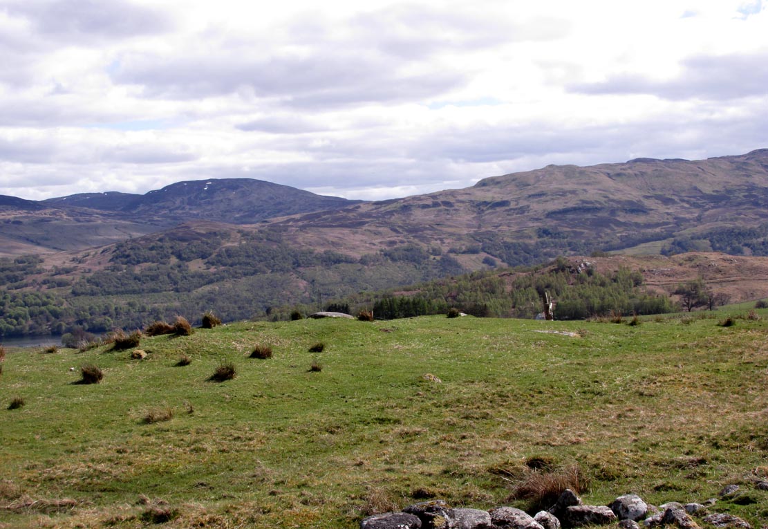

Glen Cochill Cairnfield (01), Little Dunkeld, Perthshire

Cairns:  OS Grid Reference – NN 9035 4145

Getting Here

Two of at least five cairns hereby

Two of at least five cairns hereby

Take the A826 road south out of Aberfeldy, uphill, till you reach the White Cairn or Carn Ban, then follow the dirt-track for 700 yards onto the moors until you reach the Glen Cochill Circle 1.  From here, look at the large stone atop of the very notable rounded hillock barely 50 yards east (at NN 90367 41478) and meander on the slopes immediately below it on the south and west.  If the heather’s grown back, you don’t stand a chance!

Archaeology & History

As far as I’m aware, despite there being some brief notes of cairnfields in and around the rich prehistoric arena of Glen Cochill, I can find no data indicating that the five small single cairns a short distance south and southeast of the Glen Cochill Ring (01), have been described before.

Cairn 1 - looking north

Cairn 1 – looking north

Cairn 2 - looking north

Cairn 2 – looking north

Deeply embedded into the peat, they are only visible when the heather has been burnt away, as highlighted in the accompanying photos.  Each cairn is of roughly the same size and structure: 2-3 yards across and only a couple of feet above ground-level, consisting of the traditional small rounded stones, each probably constituting a single burial or cremation.

Cairn 4, below the hilltop rock

Cairn 4, below the hilltop rock

Of at least five cairns that we found here (there may be others beneath the covering heather), it was very notable that they’re on edges of a rounded pyramidal hillock, whose top is surmounted by a large pointed stone – probably a glacial erratic.  We looked at this rock in the hope of finding some cup-markings, but there were none.  However, it seemed as if the cairns and this crowning stone were related to each other, as if rites for the dead were proclaimed here for those in the tombs.  It may sound silly, but go there and take a look at it yourselves – before the heather grows back.  Just as a priests today, and shamans throughout history, have used an altar or plinth to make commemorations to the dead, so this crowning stone may equally have been used.  It makes sense.  And, as if to add validating ingredients: if we look east, past the crowning stone and across the River Cochill, we see the great rocks in the forest known as Creag a Bhaird, or the Crag of the Bard, from whence orations and tales were known to be told… But that’s another site with its very own story…

Acknowledgements:  Once again, thanks must be given to Mr Paul Hornby for his help in finding these sites.

© Paul BennettThe Northern Antiquarian
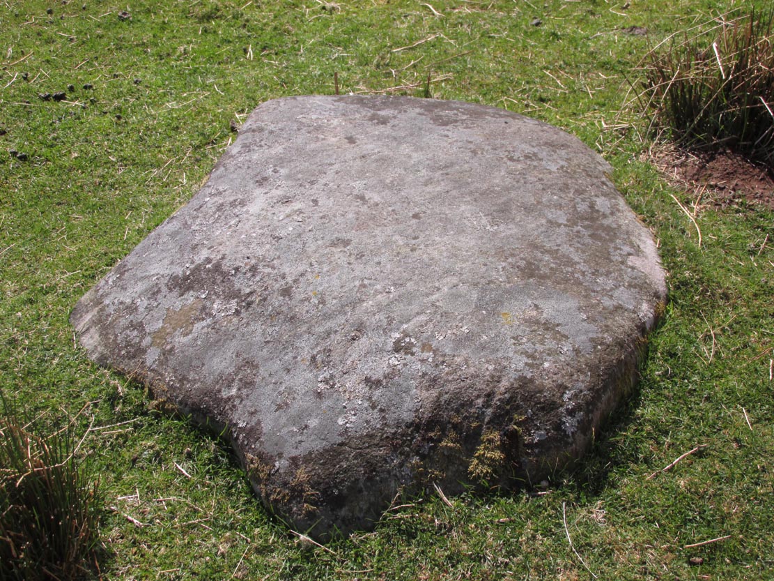

The Green, Glen Lochay, Killin, Perthshire

Cup-Marked Stone:  OS Grid Reference — NN 53976 35248

Also Known as:

  1. Canmore ID 274203
  2. Falls of Lochay

Getting Here

The cliff-face and its ledge

Going out of Killin towards Kenmore on the A827 road, immediately past the Bridge of Lochay Hotel, turn left. Go down here for just over 2 miles and park-up where a small track turns up to the right (half-mile before the impressive Stag Cottage carvings), close to the riverside and opposite a flat green piece of land. Notice a small cliff-face just over the fence by the road and a small ledge about 3 feet above ground level. That’s yer spot!

Archaeology & History

Deep & shallow cups together

Rediscovered by rock art student George Currie in 2004, this small, little-known and unimpressive cup-marked site was carved onto a rocky ledge just off the roadside down Glen Lochay.  Comprising of at least three very distinct cup-marks—two next to each other on the far-right of the ledge and the other on the nose of the rock—at least another three more shallow cups are on the same surface. What looks like an unfinished cup, or deliberately etched crescent-Moon-shaped cup, has been cut into the same ledge a yard to the left of the prime cluster.

In Currie’s (2004) brief description of the site, he told:

“Ledge, 1m above ground level on a rock face; four cups, 50 x 25mm, 45 x 15mm and two at 40 x 10mm.”

Looking down at rock surface

Curious crescent-shape ‘cup’

It’s unusual in that the cups have been carved onto a small ledge that’s too small to stand upright on.  Whilst not without parallels, it’s an odd position to find petroglyphs and begs the question, “why here?” when there are other rocks close by that are easier and more accessible.

References:

  1. Currie, George, “Falls of Lochay (Killin parish): Cup-Marked Rocks”, in Discovery & Excavation Scotland, volume 5, 2004.

© Paul BennettThe Northern Antiquarian

Druim Mor, Callander, Perthshire

Standing Stone:  OS Grid Reference – NN 63542 09721

Getting Here

The Druim Mor stone

The small Druim Mor stone

Along the A84 Callander road, just going out on the east side of town, take the signposted road up and up and towards the car-park for the Bracklinn Falls.  Another mile past here, keep your eyes peeled for the Wishing Well sign on the right-hand side of the road.  From here, walk straight up the hillside for 150 yards (137m) and zigzag about.  You’ll see it!

Archaeology & History

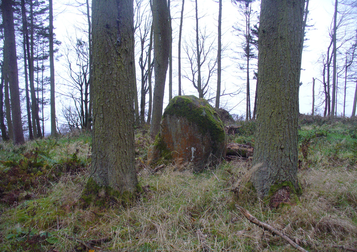
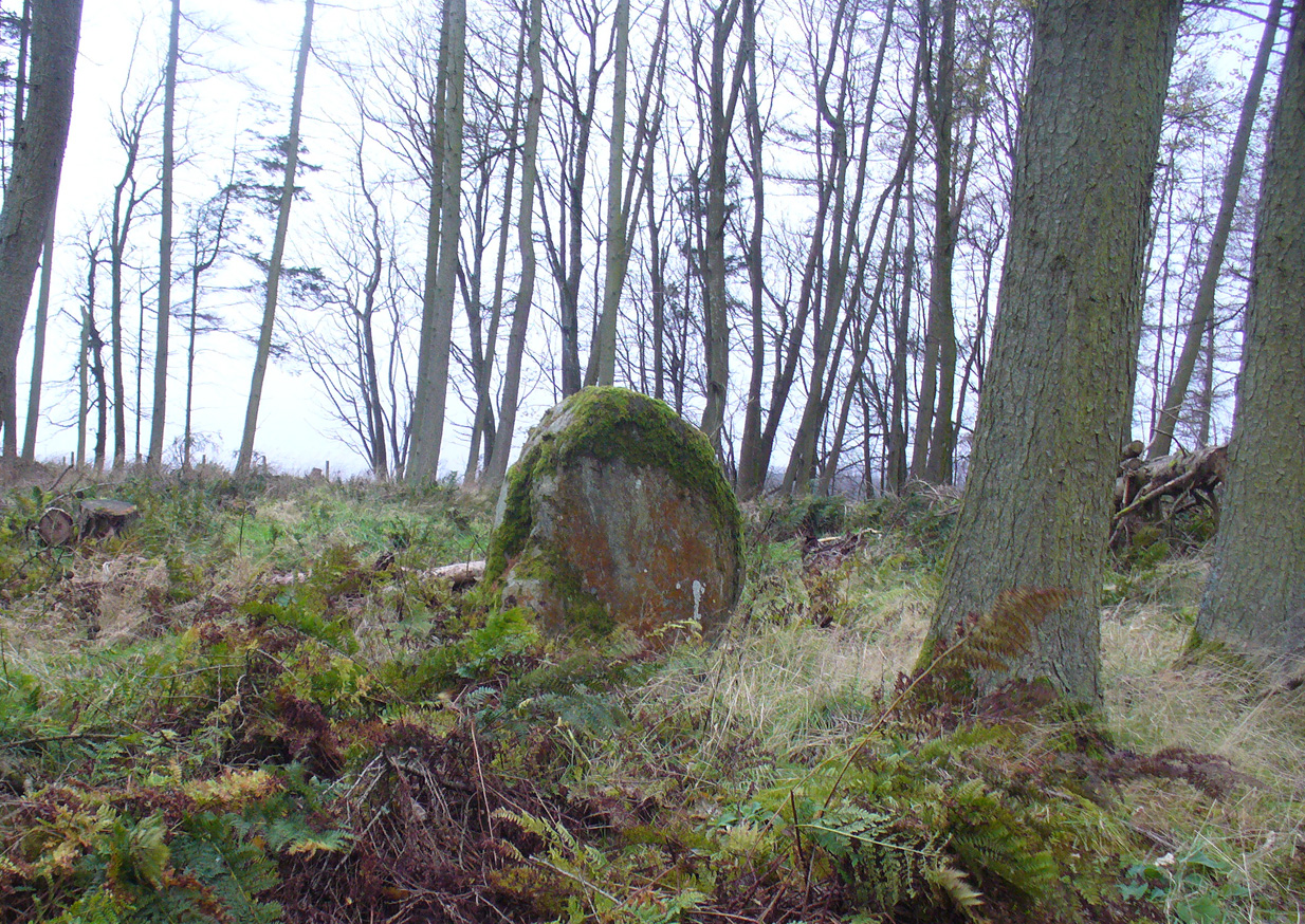
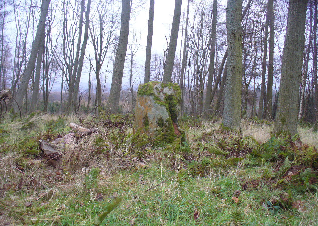
This small standing stone (not previously recorded) hides away up on the hillside not far from the old Tobhar na Cailleach (nowadays demoted as a just a Wishing Well), with its history and traditions seemingly long forgotten.  About 3 feet high and barely a foot thick, it may once have had a companion standing just a few yards away by its side, where now lays a moss-covered stone.  It reminded me a little of the stone pairing called the Cuckoo Stones near Wuthering Heights at Haworth, West Yorkshire.

Possible fallen stone

Possible fallen stone

Druim Mor stone, looking N

Druim Mor stone, looking N

Slightly higher up the grassy slope, 15-20 yards away, we find a low line of ancient walling that runs slightly uphill and then across a slightly level piece of land for about 40 yards, before turning back down the hillside and towards the road below.

Folklore

Although we have no recorded traditions of this stone, it needs to be highlighted that the waters, the woods and the slopes below this stone are dedicated to the Cailleach – the great prima Mater of Scottish and Irish traditional history.

Acknowledgements:  Many thanks to Nina Harris and Paul Hornby for their help on the day of this find.

© Paul BennettThe Northern Antiquarian

Witches Stone, St. Martin’s, Perthshire

‘Standing Stone’:  OS Grid Reference – NO 15927 31609

Also Known as:

  1. Canmore ID 28628

Getting Here

The Witches Stone of MacBeth

Going north-eastish from the city of Perth, take either the A93 or A94, turning west along the A93 a mile south of Guildtown, or east at Balbeggie on the A94, until you reach St. Martin’s hamlet and park up just below the church opposite the old cottages. Walk up the track below the cottages (not the one above them!) for ⅘-mile (1.35km) [past the ruined Cupar Stone Circle], and where the land has levelled out and in the huge flat field on your left, you’ll eventually reach a gate and see the odd-looking ‘rock’ about 250 yards away in the middle.

Archaeology & History

A fungal morel turned to stone

In a quiet and little-known parish that was once littered with about a dozen stone circles, there remains a most curious and fascinating stone which, in earlier days, was to be seen on the open moorlands at this spot.  The area was then forested and then the agriculturalists came with their farming and destroyed the forests, leaving the old stone as it presently stands, isolated, above the hamlet of St. Martin’s to the south.  Although it was described in the 19th century as being “four feet high”, it stands barely three feet tall, is very curiously-shaped—just like a morel mushroom from some angles—and in the middle of an extensive piece of flatland where the crops barely grow.

Witches Stone on 1866 map

Witches Stone, looking west

The stone was highlighted on the first OS-map of the parish in 1866, showing it in the woodland plantation of Eastmuir.  It may have been some sort of northern outlier related to the now-destroyed stone circle of Cupar 400 yards south; and if this was the case, its position in the landscape relative to the circle would give the Witches Stone an airt (virtue ascribed to cardinal directions) in the cycle of the year that relates to darkness and death. (Perhaps oddly—perhaps not—the name of parish St. Martin’s relates to that dark period in the calendar, as St. Martin’s day in the old calendar was Samhain or Halloween: old New Year’s Day, when the spirits of the dead moved across both land and skies.)

It was erroneously described by the Canmore lads as being little more than “a glacial erratic”, but the stone here is quite earthfast; and their idea that “its peculiar shape has probably been caused by wind erosion”, is also somewhat dubious considering the shape of other monoliths and megalithic rings in the region.  The stone has an appearance similar to some Bull Stones, where the animal was chained to rocks such as this and then baited by dogs, although I can find no such lore here. Indeed, the history and archaeology of the stone seems all but silent.  Its folklore however, would have the Shakespearian romanciers amongst you flocking to the place…

Deep grooves atop of the stone

The top of the stone has some very distinct and deep-cut lines running across it at angles, and has the appearance of being cut into at some time in the dim and distant past.  By whom, and for what reason, we cannot say.

Folklore

William Richie (1845) told us that in the 11th Century when Scotland was having to deal with the english disease of stealing land and spreading its violence, King MacBeth—whose castle stood within this parish at Cairnbeddie (NO 1498 3082)—took that advice of two witches, and that

“they met him one night at a place still called ‘the Witch Stane’ (where a remarkable stone still stands), about a mile from his old residence, and warned him to beware, ‘Till Birnam forest come to Dunsinane.’”

The 1860 Name Book told us that,

“The Moor where the witches met, which is in St. Martins Parish is yet pointed out by the country people, and there is a stone still preserved, which is called the Witches Stone.”

References:

  1. Scott, Aleander, St. Martin’s and Cambusmichael, Perth 1911.
  2. Richie, William, “St. Martins and Cambusmichael,” in New Statistical Account of Scotland – volume 10: Perthshire, William Blackwood: Edinburgh 1845.

Acknowledgements:  Huge thanks to Prof Paul Hornby for showing me this site. Cheers matey!

© Paul BennettThe Northern Antiquarian