Cup-Marked Stone: OS Grid Reference – NN 52774 35504
Also Known as:
- Allt Coire Charmaig
Getting Here

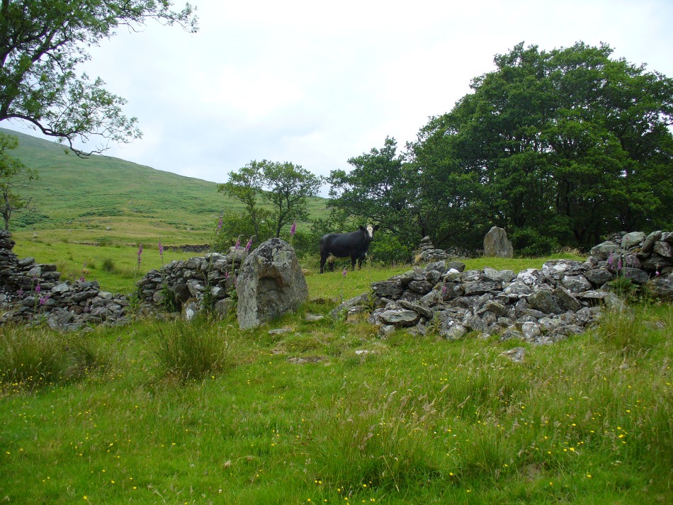
Go thru Killin and, just past the Bridge of Lochay hotel, take the tiny road on your left. Go down here for 3 miles till you pass the gorgeous Stag Cottage (with its superb cup-and-rings in the field across the road) for another 300 yards, until you see Duncroisk Farmhouse set back on your right. On the other side of the road, go thru the giant deer-gates (close ’em behind you) to the river-bridge and across it. Walk along the track till you reach the turning to Corrycharmaig House on the right (over the stream), but here, go up into the field thru the gate. Walk up the hill ahead of you with its trees on the left, walking up onto the grassy level, then up again to the rounded knoll another 100 yards up. You’re here!
Archaeology & History
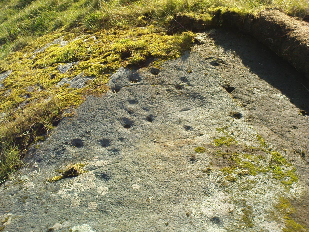
This is the most visually impressive of the set of four cup-marked rocks along this ridge — although if you visit here when the light is poor, or the sky’s overcast, you’ll be lucky if you can actually see much of the material. For example, I counted 38 cups on this particular stone on a day when the sky was bright, but upon checking later, found that Mr Morris (1981) described there being, “40 widely scattered cups of which, however, 29 well-defined cups are in a compact group of which 6 are in line.” Whereas more recently the Canmore website told there to be,


“At least 48 cupmarks are visible on the most westerly exposure. The cupmarks range in size from 25mm in diameter and 5mm in depth to 100mm in diameter and 40mm in depth. A straight line of six cupmarks arranged close together is orientated running from NW to SE.”
This line of six cups is very distinct and stands out as the most notable aspect on this carving, probably because it gives a sense of ‘order’ or linearity, whereas the rest of the carving (as with oh so many of them, thankfully) possess that non-linear feature of scattered cups and lines, dissolving reason and ego, and eliciting the natural meditative state, if one so cares to allow. On our most recent visit here, our eyes and fingers traced what appeared to be the faint remains of a carved line running along the bottom edge of the row of cups and then bending around the bottom cup in the same line — a little bit like the carved lines which run around the edges of the row of cups on Ilkley Moor’s Idol Stone. You can just make this ‘line’ out in the photo, below.


On one visit to the site when we’d stayed with the late great Lindsay Campbell of Stag Cottage, other sections of this carving were visible that we’d previously missed, highlighting at least 45 cup-marks that we counted. Several of the cups had been exposed by animals (sheep or deer – we couldn’t tell) cutting into the soaking wet earth and in carefully checking a couple of cups whose edges were exposed, found a small worked flint within one of the cups! I looked at it, held it, puzzled over it, then laid it back where we’d found it. You can see it in the photo here, on the right.
This carving obviously grows on you with time. And like its carved companions of Corrycharmaig (1), (2) and (4) both left and right of here, the stone rests within a natural theatre of dreams, eliciting — if only in a slight way — the non-focal perspective necessary to receive the carvings as its executor knew…

References:
- Cormack, E.A., “Cross-Markings and Cup-Markings at Duncroisk, Glen Lochay,” in Proceedings of the Society of Antiquaries, Scotland, volume 84, 1952.
- Morris, Ronald W.B., The Prehistoric Rock Art of Southern Scotland, BAR 86: Oxford 1981.
- Royal Commission on the Ancient & Historical Monuments of Scotland, Archaeological Sites and Monuments of Stirling District, Central Region, Society of Antiquaries of Scotland 1979.
© Paul Bennett, The Northern Antiquarian