Cup-and-Ring Stone: OS Grid Reference – NN 83297 45845
Getting Here
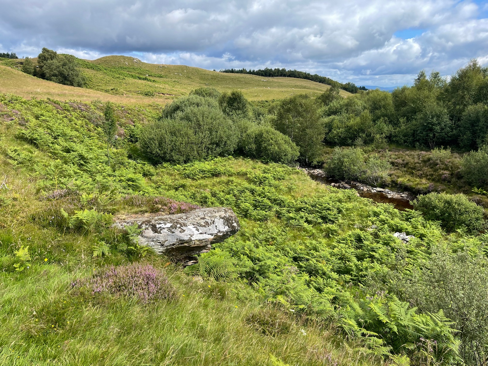
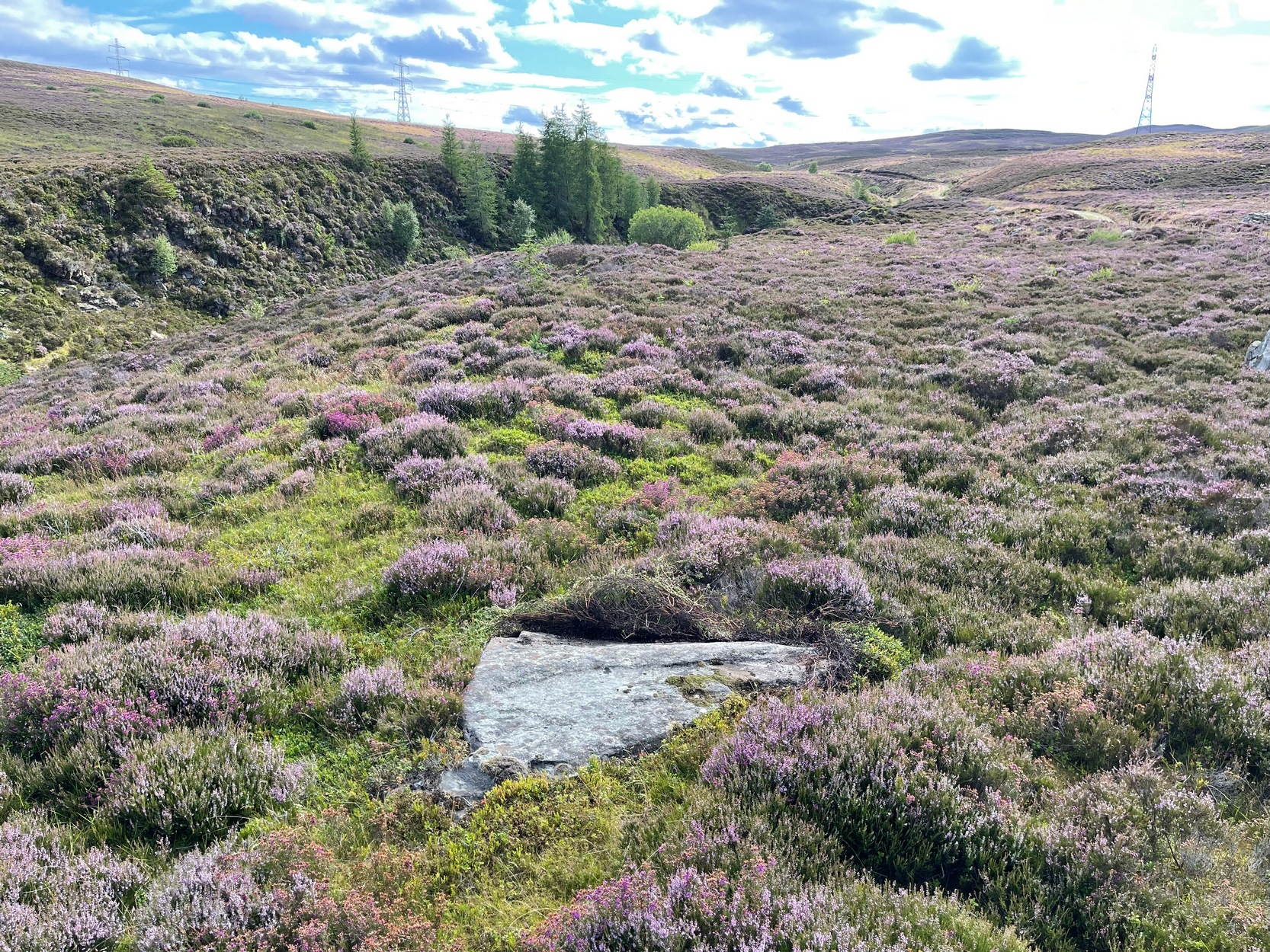
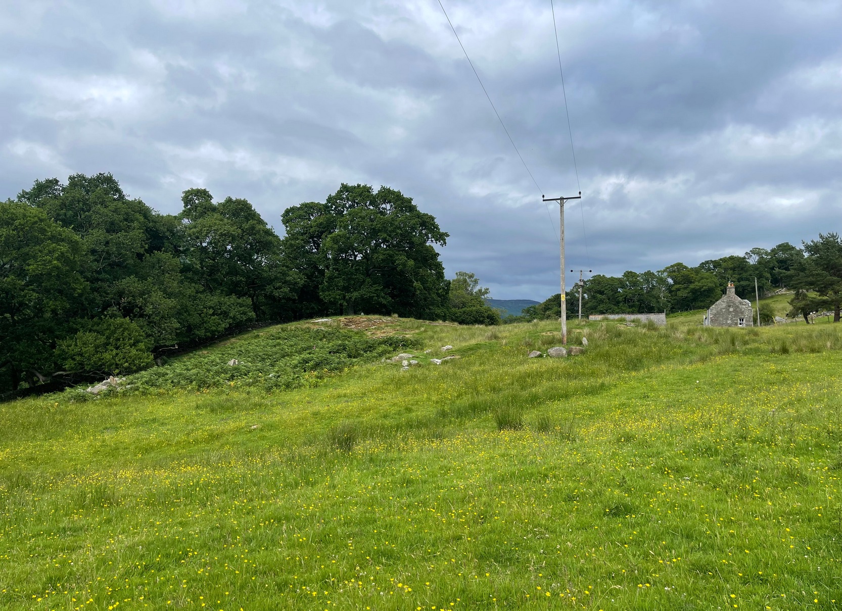
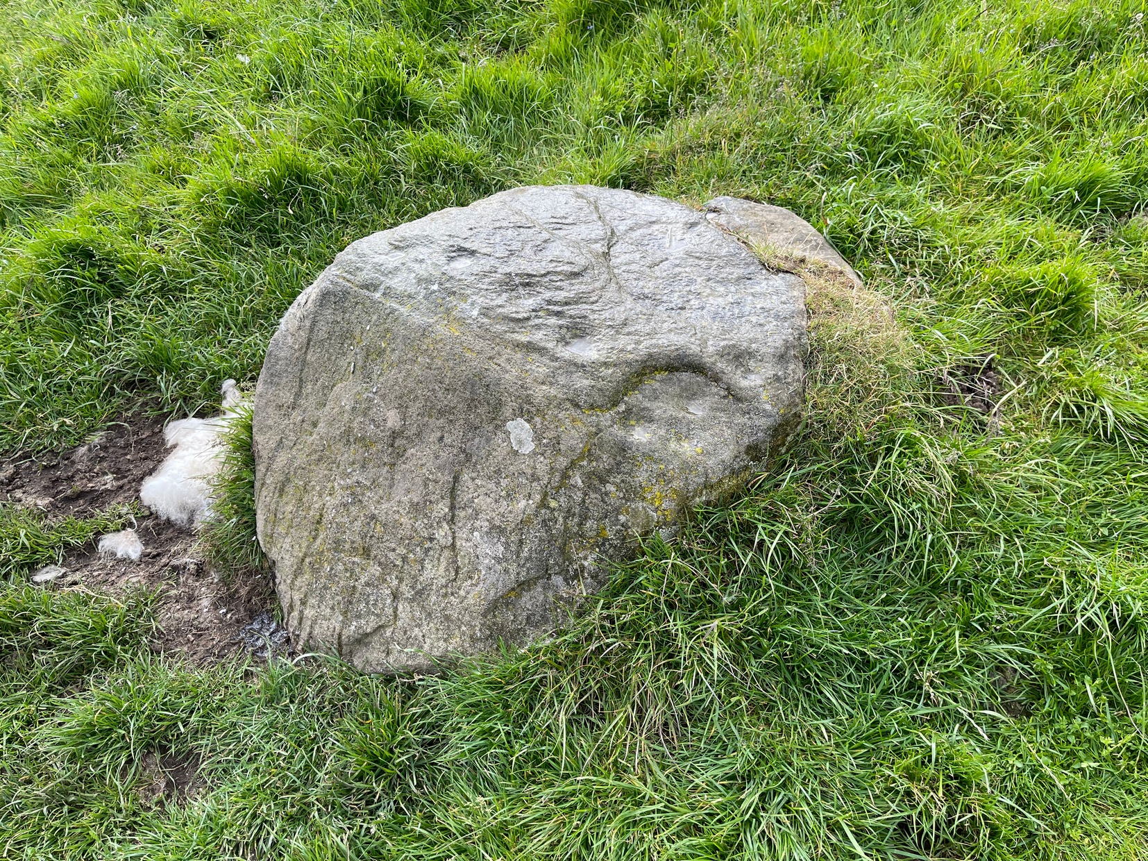
Take the A826 Crieff Road uphill for 275 yards then turn right up the Urlar Road. It’s a long uphill walk from here, up the private road, through and past Urlar Farm and along the track; making sure you keep to the west-side of the burn – don’t cross over it! Beyond the farm, the fields open up ahead of you into the distant hills. Keep along the track until, after a few hundred yards, on the left by the waters, the first small copse of trees appears. (if you reach the bothy, you’ve gone way to far) Here, walk towards the waters and you’ll see good-sized boulder sticking out of the ground and overlooking the burn below. That’s it.
Archaeology & History
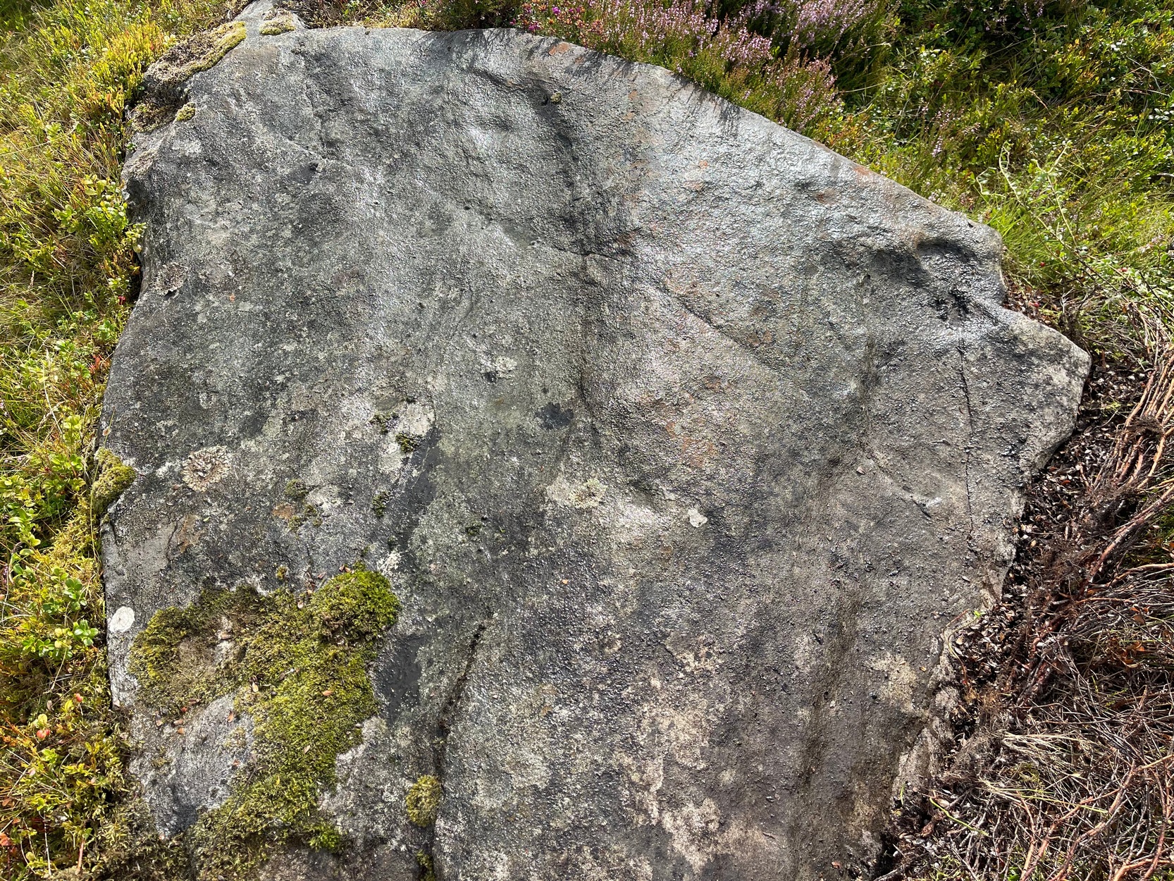
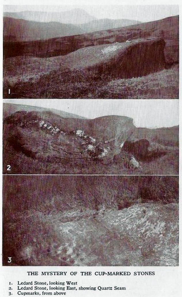
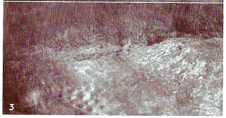
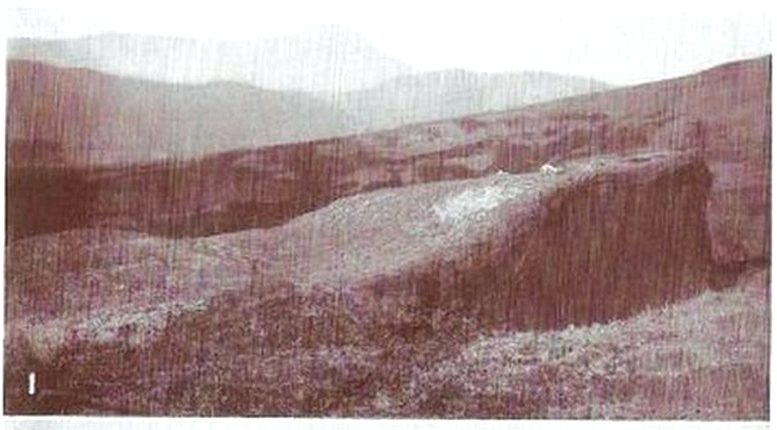
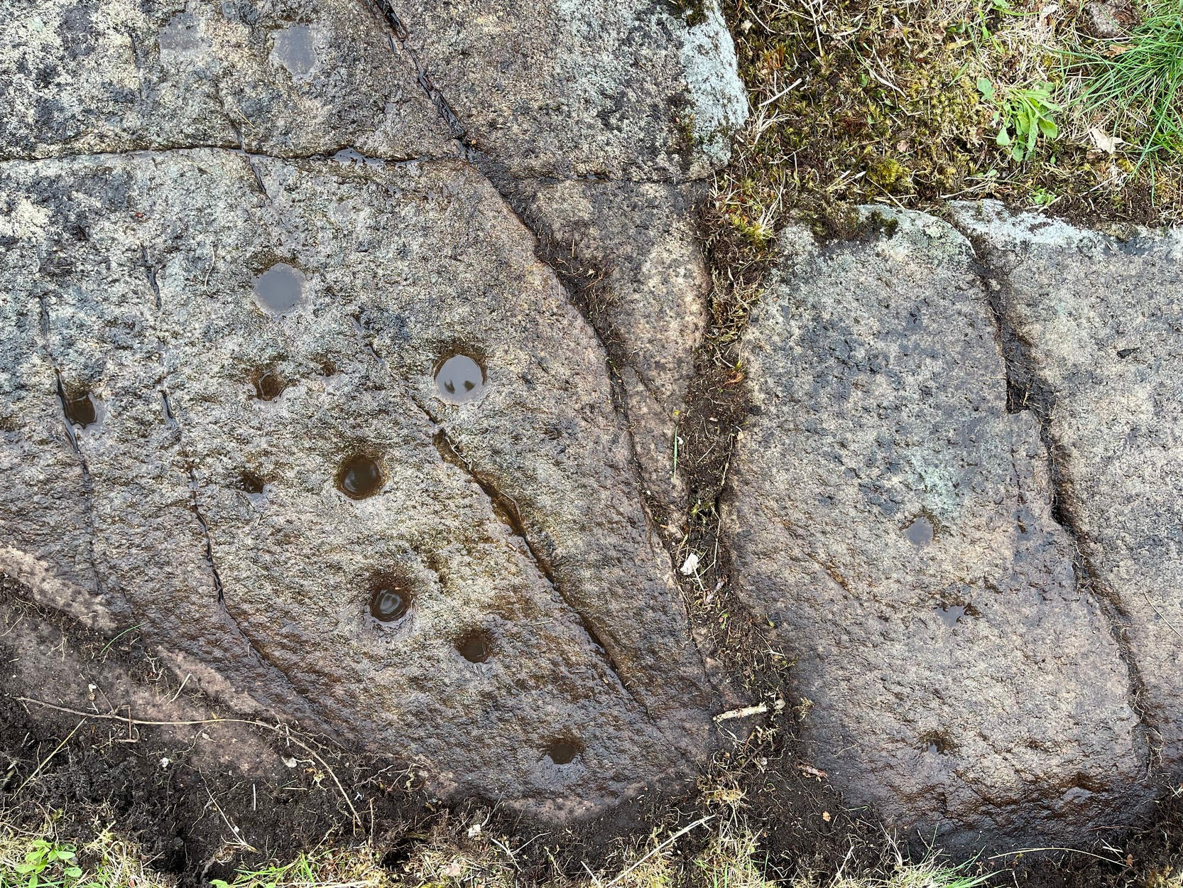
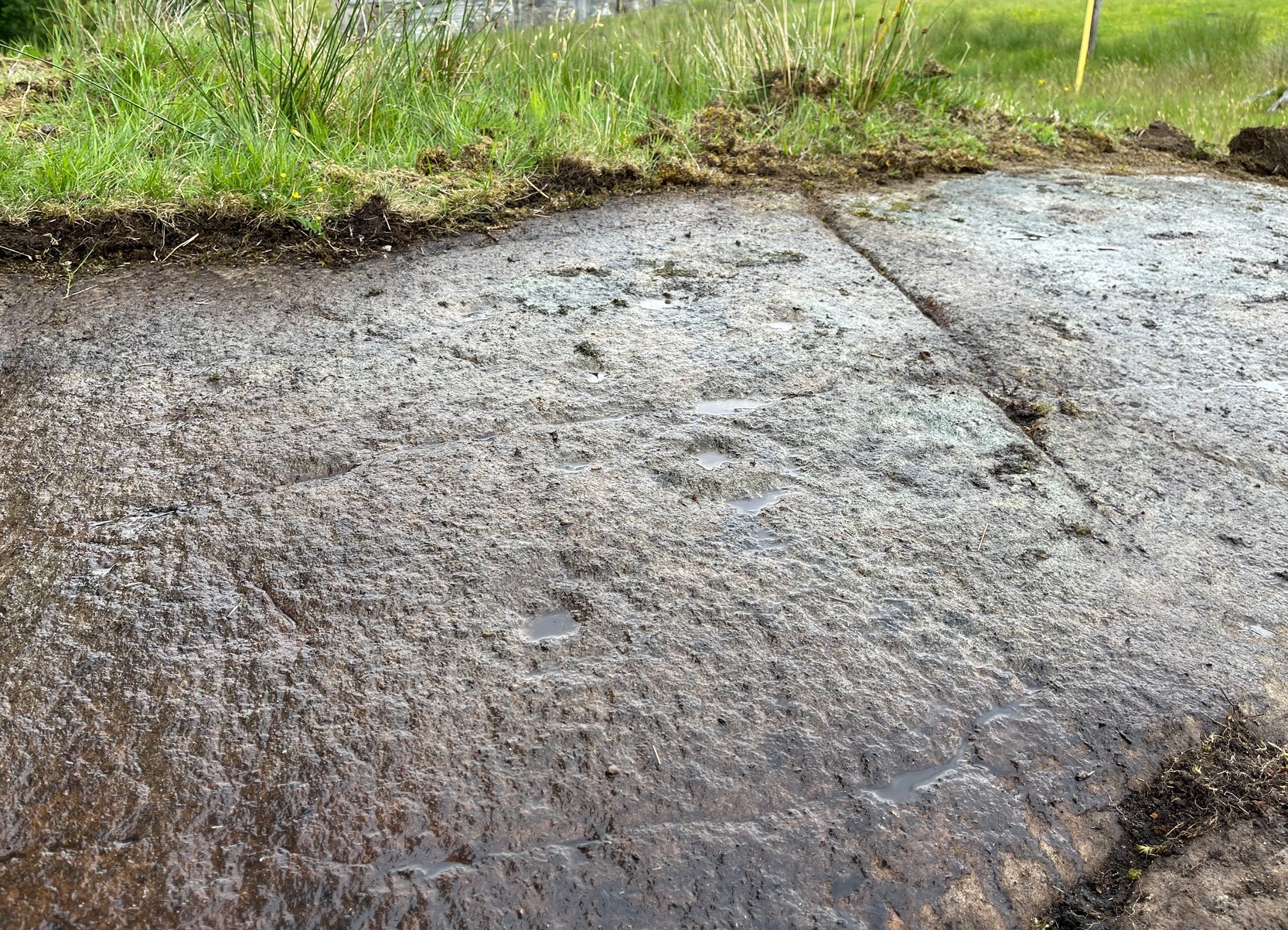
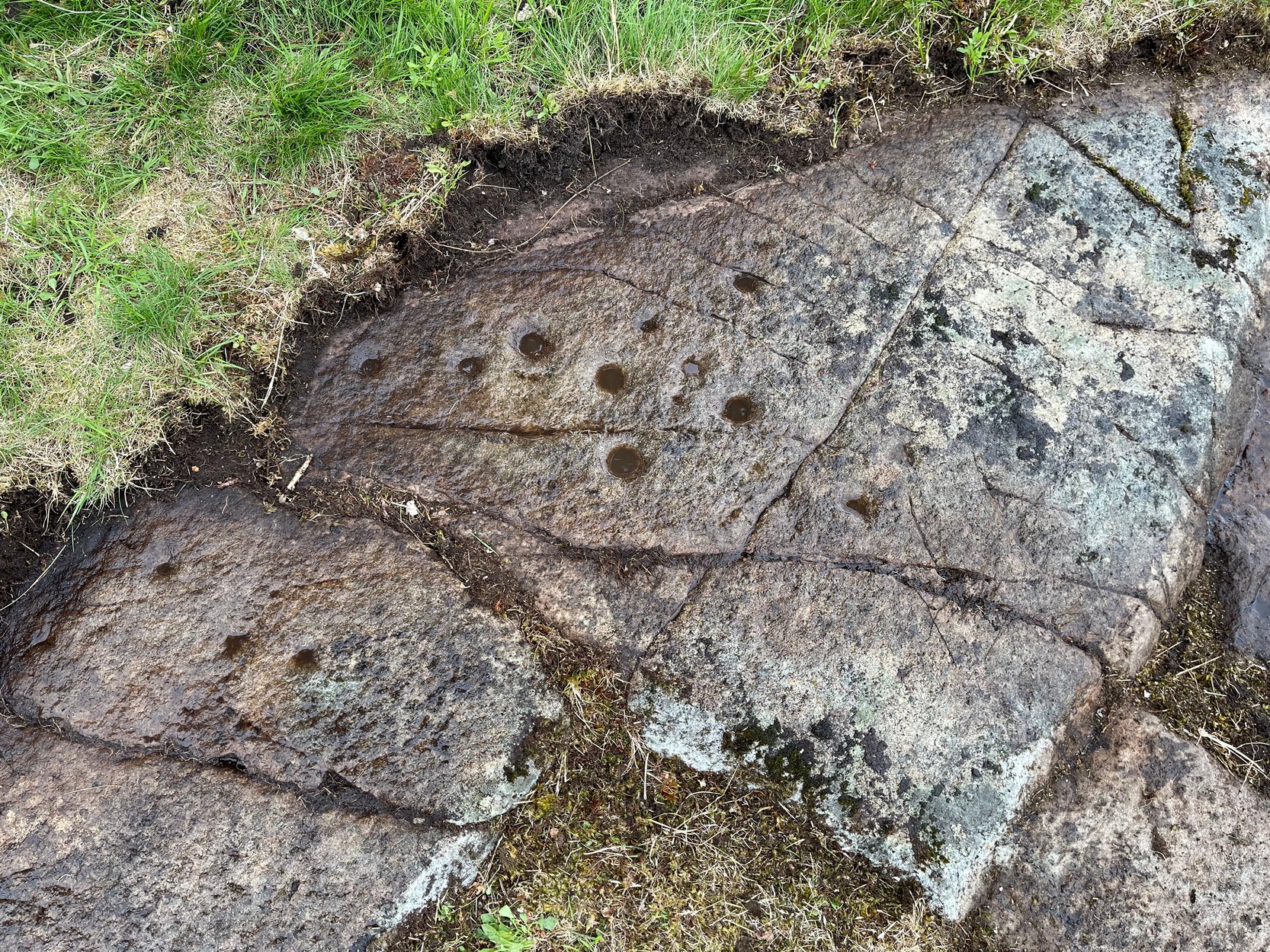
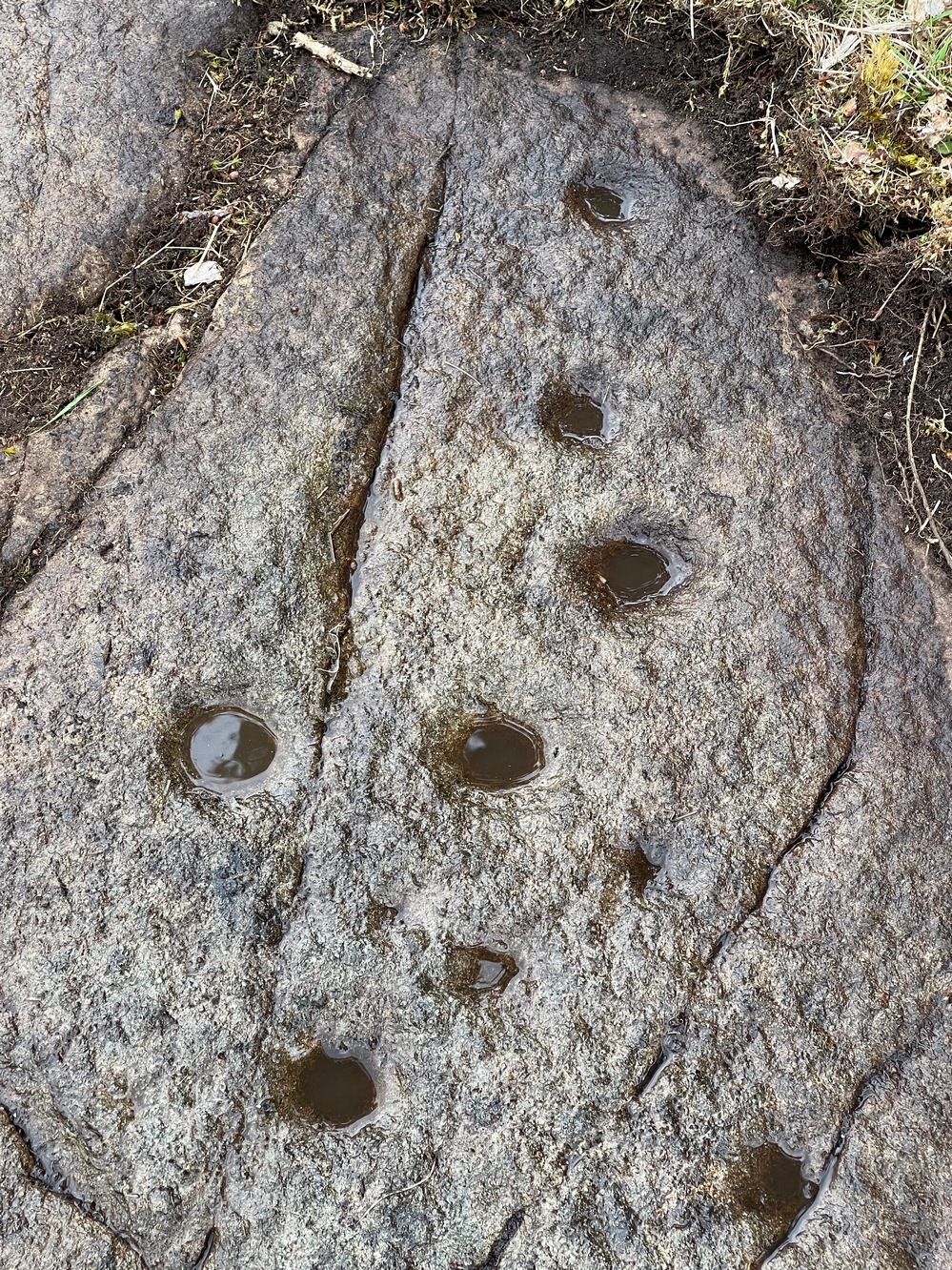
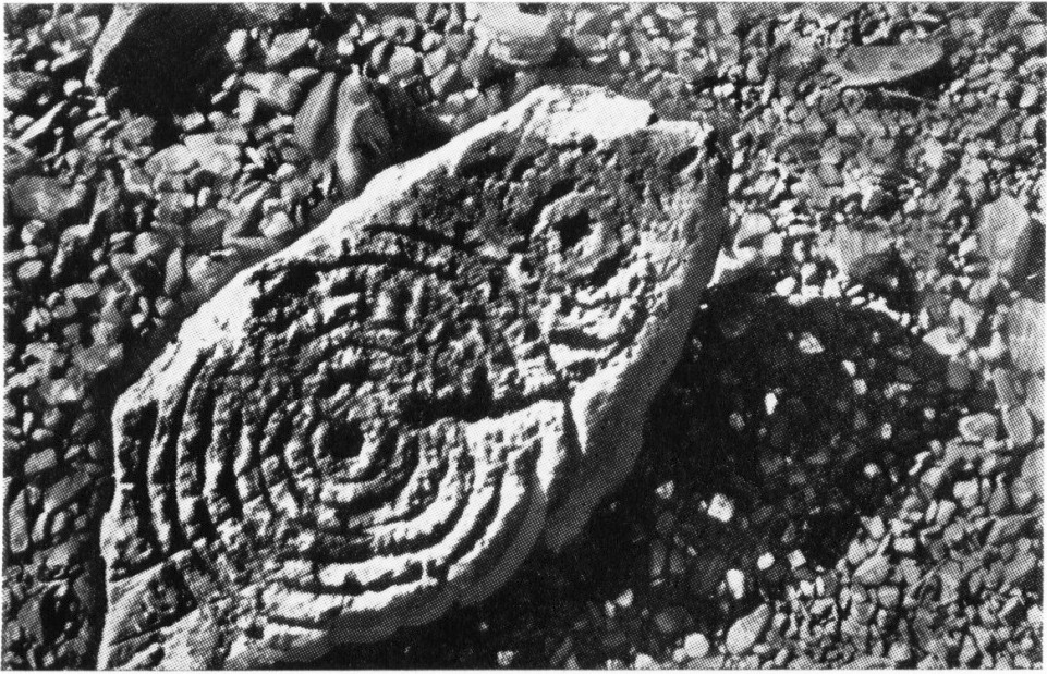
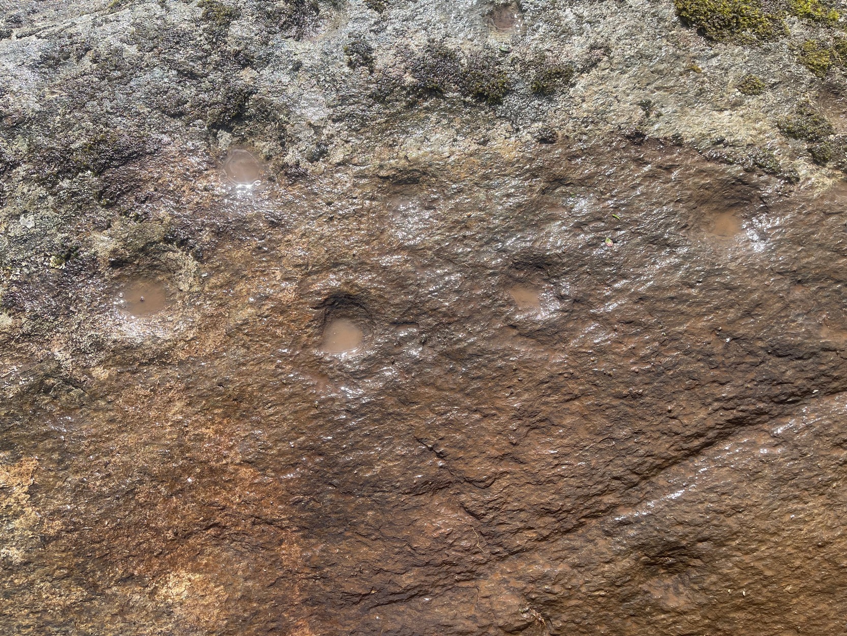
This faded but decent cup-and-ring design, cut into an overhanging rock where you’d sit and dangle your legs, was first described by George Currie (2009) who, in his typically minimalist style told that it “bears 17 cups, 4 of which have single rings.” There may be more to it, but some of the stone is heavily covered in vegetation and on my visit here, the summer heat overwhelmed my ability to gain a complete picture of the surface.
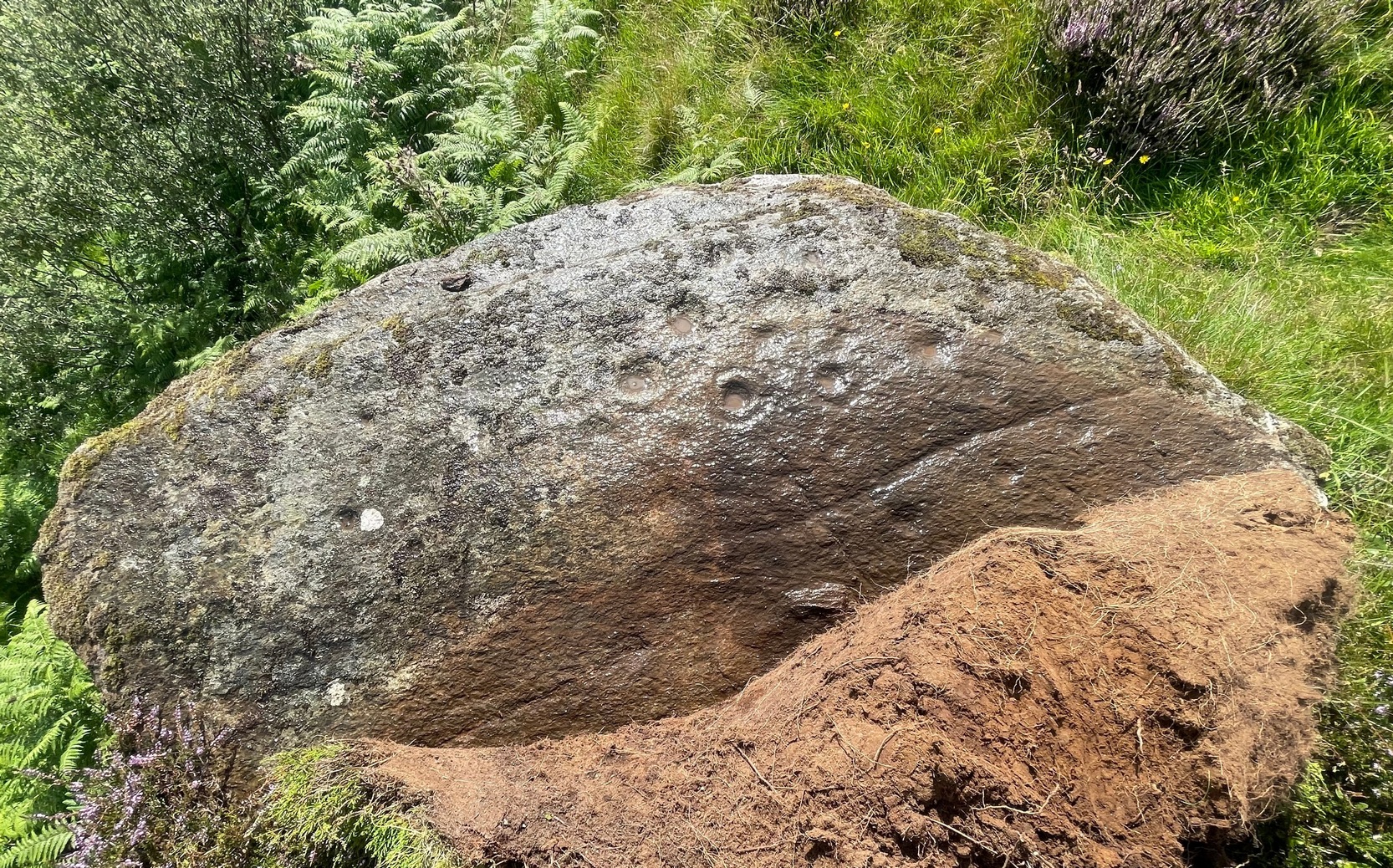
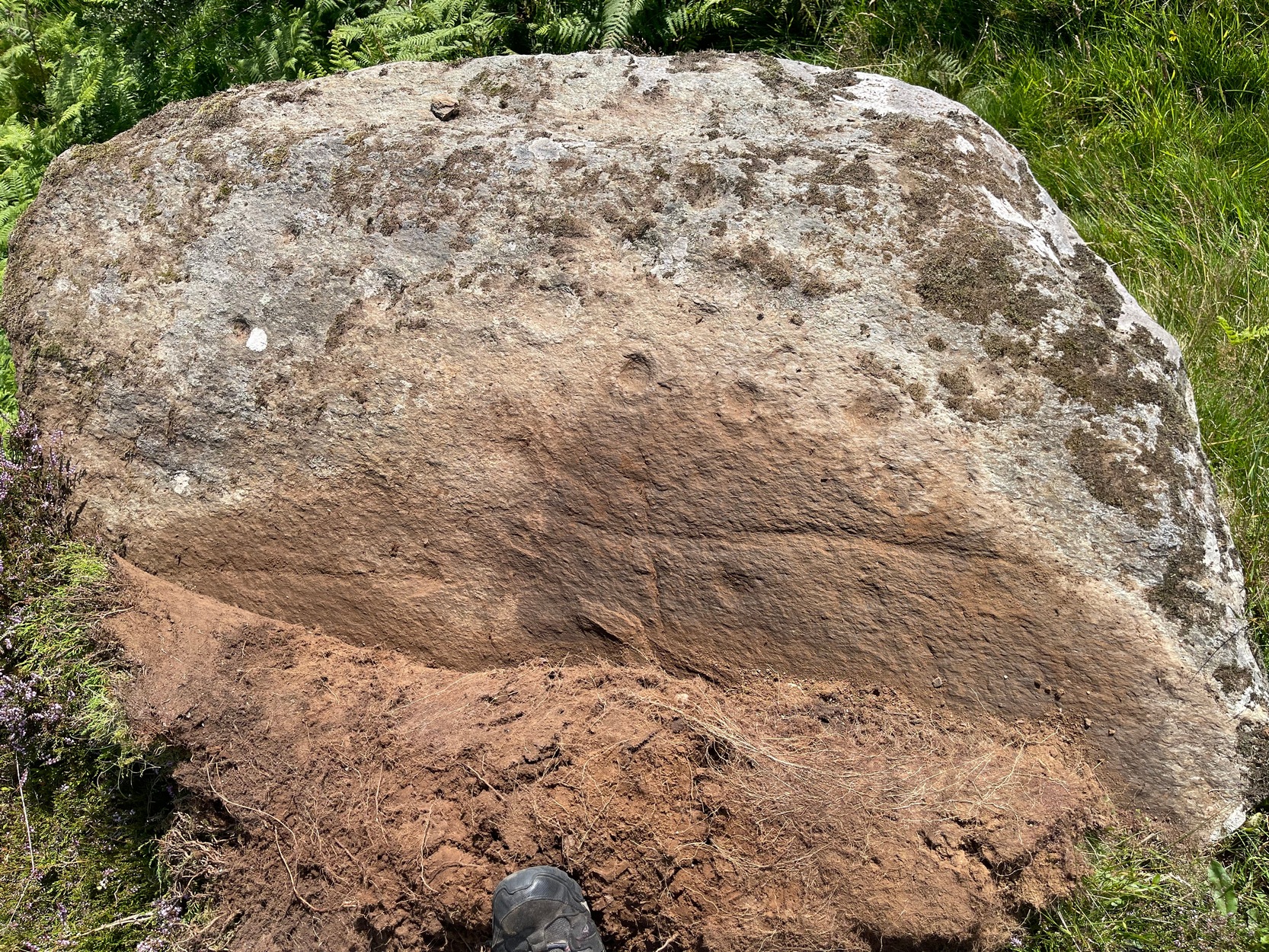
Most of the design is near the western earthfast end of the stone. A long natural scratch in the rock, seemingly enhanced by the hand of man, separates at least three shallow cup-marks on one side (north) from the greater mass of the design on the other —which is where all the cup-and-rings can be seen. One of the rings is incomplete, whilst another has a natural crack running up to its outer edge, which may have been played around with slightly when the carving was first made.
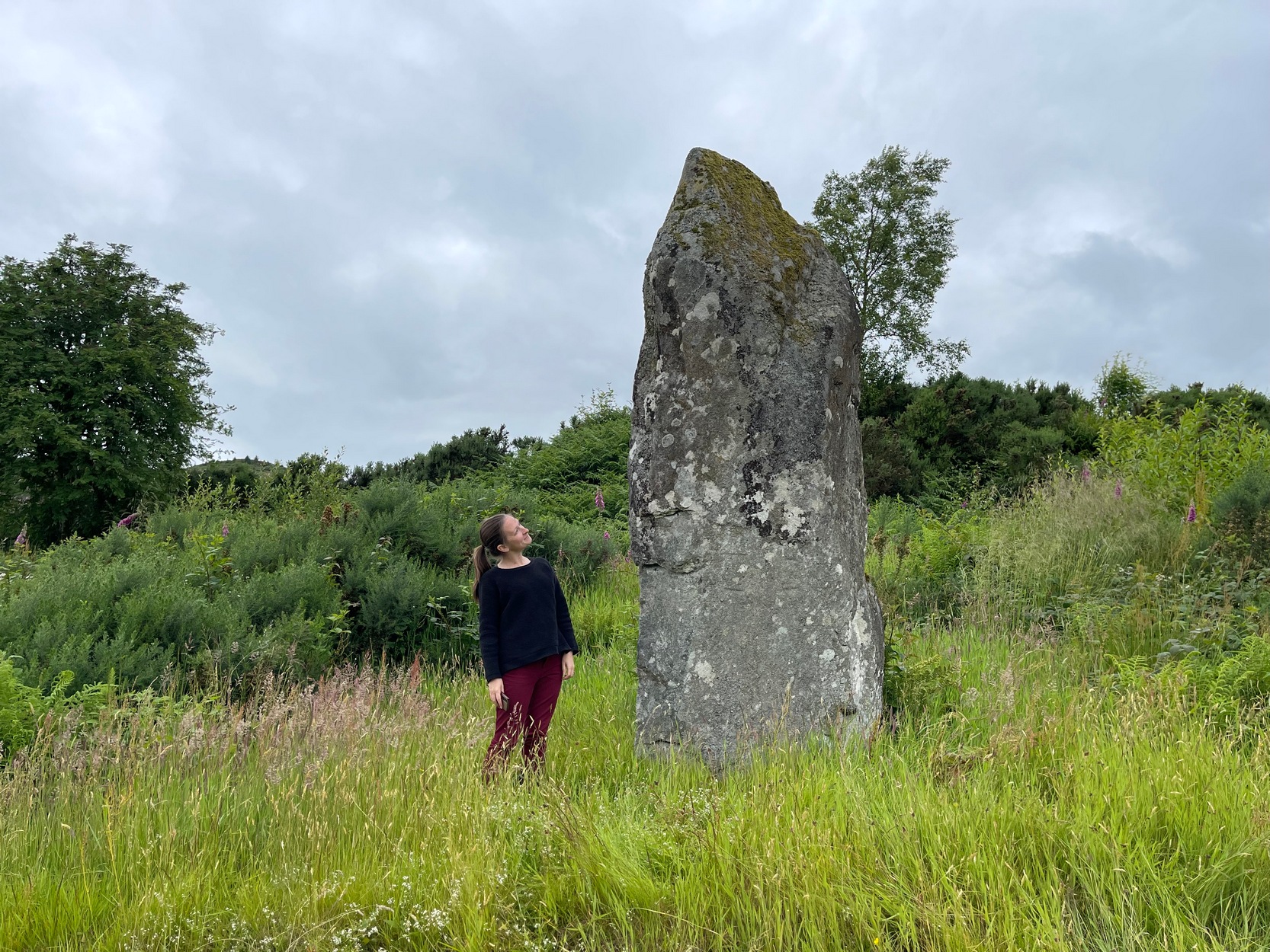
I liked it here – and spent an hour or so under the bright sun before the heat pushed me away, to bathe in the pool below for a while…. Check it out when you’re looking at the other carvings in the neighbourhood
Folklore
Although there’s nothing specific about this stone, the burn to the side of the carving was haunted by an old urisk in times gone by: an elemental creature from Scottish fairy lore who inhabited lonely streams and waterfalls. The urisk of Urlar Burn was known as Brunaidh an Easain (his brother, Peallaidh, of greater renown, lived in the gorge of Moness close to Aberfeldy) and this spot may have been one of his abodes. Urisks are associated in some places with cup-marked stones, in which offerings of milk were given to placate them — and this is a good site for any urisk to look over his winding waters….

References:
- Currie, George, “Perth and Kinross: Dull: Urlar Burn 1-4,” in Discovery & Excavation Scotland (new series), volume 10, 2009.
© Paul Bennett, The Northern Antiquarian