Tir Artair (01), Killin, Perthshire

Cup-Marked Stone:  OS Grid Reference – NN 59063 34807

Also Known as:

  1. Canmore ID 289905

Getting Here

Single cup-marked stone
Solitary cup-mark

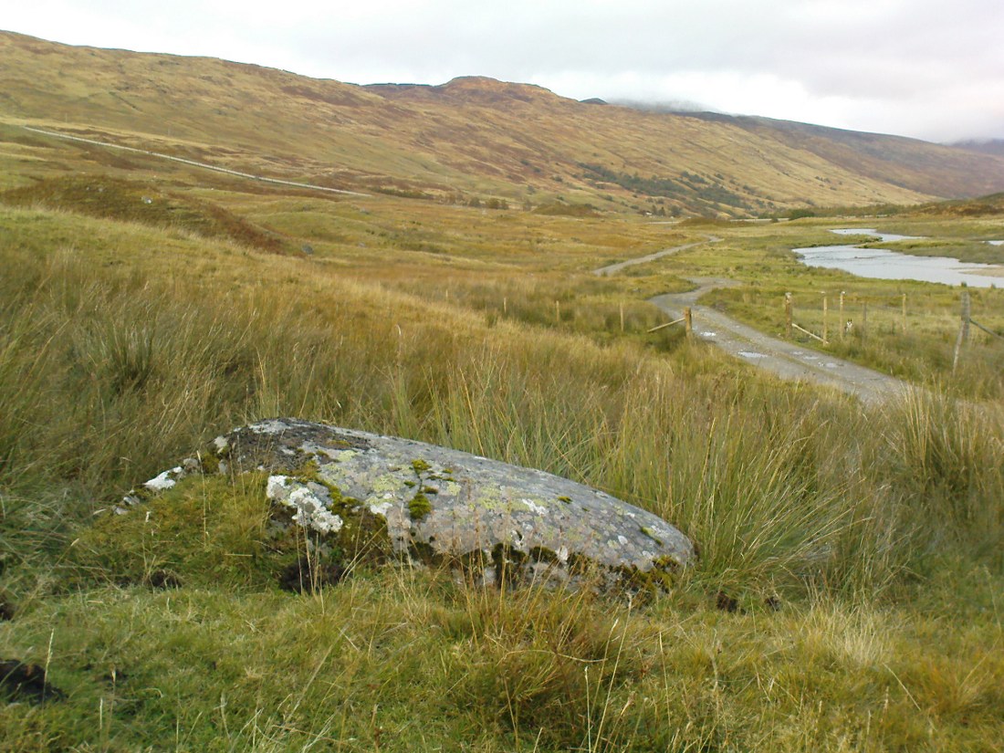
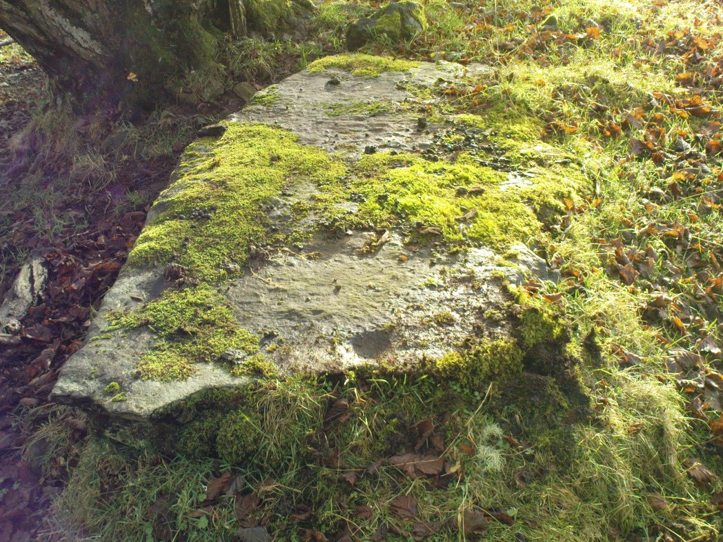
Take the A827 road out of Killin to Fearnan and Kenmore.  A mile or so out of Killin, keep going go past the entrance to the Finlarig Power Station for just another 2-300 yards, keeping your eyes peeled for the small track on your right.  Go down here.   About 100 yards down the track bends, then another 50 yards it bends again – and just here there’s a small clump of trees, right by the bend.  You’re looking for the large flat rock therein.  You’ll see it!

Archaeology & History

Tir ArtairCR1b sm
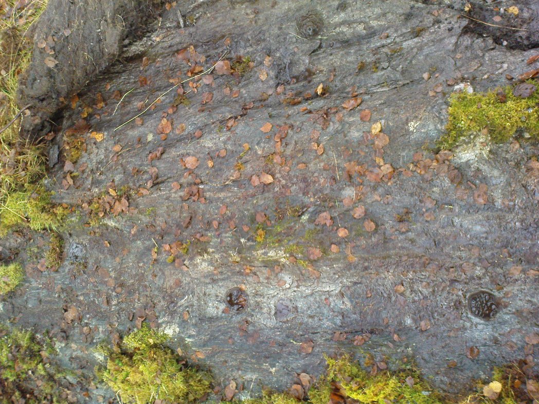
Close-up of cupmark

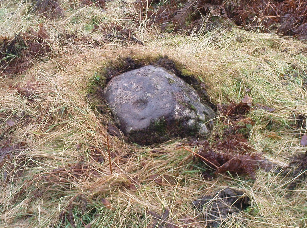
Although listed by the lads at Canmore, I can find no previous literary reference to this stone — which is a simple thing to be honest: probably of little value to anyone unless you’re a real petroglyph fanatic!  The large flat rock has a single large cup-marking on its northern edge, 3 inches across and nearly an inch deep.  If you’re gonna visit here, you may as well check out the standing stone further down, in the trees on your right.

© Paul Bennett, The Northern Antiquarian

Clach na h’ Iobairte, Kinloch Rannoch, Perthshire

Standing Stone:  OS Grid Reference – NN 61702 58975

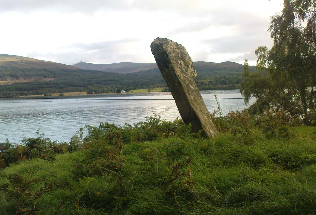
Clach na h-Iobairte, looking south

Also Known as:

  1. Canmore ID 24576
  2. Chieftain’s Grave
  3. Clach na h-Iobairte
  4. Clach na h-Jobairte
  5. Craiganour Stone
  6. Craig-na-Odhar
  7. Stone of Sacrifice
  8. Stone of the Offering

Getting Here

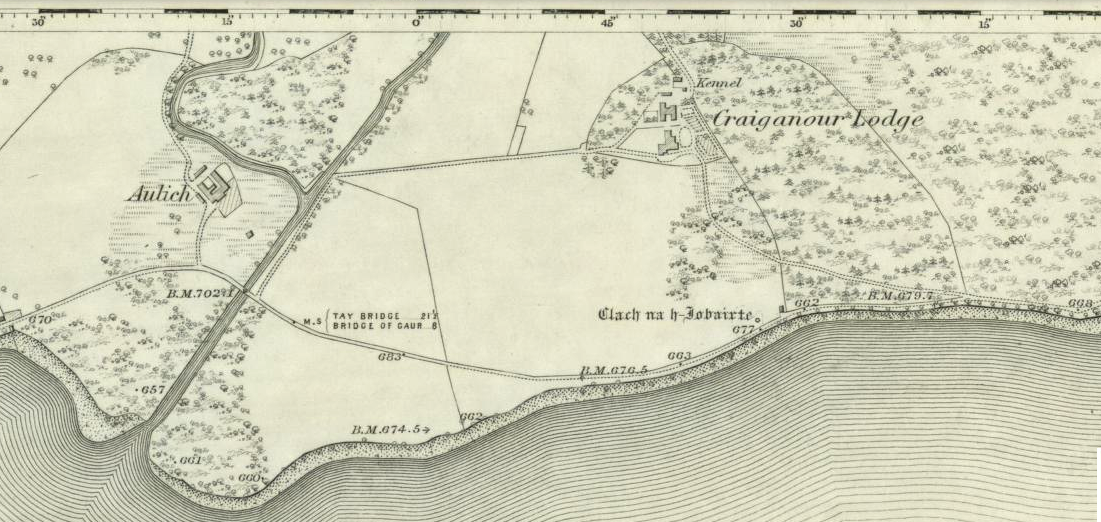
Standing stone shown on the 1867 OS-map

From the gorgeous village of Kinloch Rannoch, take the road along the north side of Loch Rannoch for about 2½ miles.  As you go along the road, for a good mile or so it is wooded. Where the woods stop and the first field appears on your right, stop!  You’ll see the standing stone perched erotically at an angle above you.

Archaeology & History

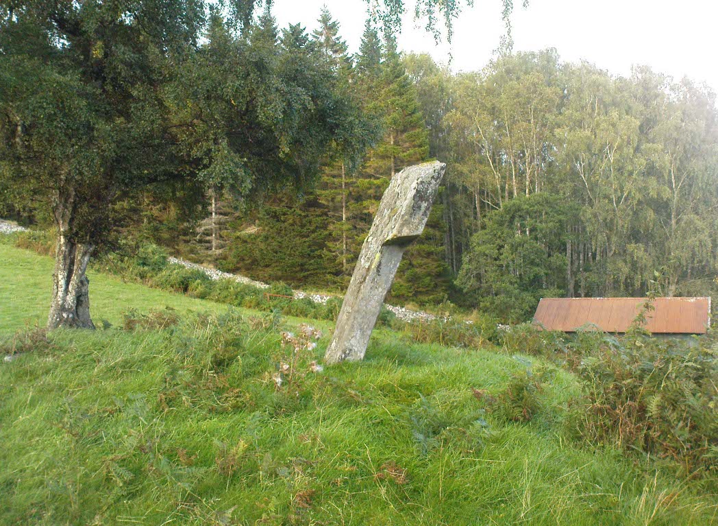
Clach na h-Iobairte, looking east

A fascinating site in a quite beautiful setting, typical of the Highlands.  This stone of many names is a curiously-shaped monolith: like an erect stone penis at the edge of the field when seen from the roadside, calling out to christians and pagans alike, to be castigated or rubbed—whatever the religious preference of the surveyor!  Leaning over at a slight angle, the stone is still nearly six feet tall and lives upon a large and equally prehistoric stone cairn about 30 feet across.  This cairn, it is said, has been added to by locals when the field was cleared of stone and piled on top of the old tomb.  No excavations have been done here, nor at the large ‘hut circle’ in the same field about 50 yards away.

Folklore

So far I have only found a short narrative of this stone in the pages of T.R. Barnett’s (1944) loving account of the Perthshire hills, where he tells that, close by the stone at Aulich, was once

“a famous smith, said to be in league with the devil, and he made the finest claymores in Rannoch.”

References:

  1. Barnett, T. Ratcliffe, The Road to Rannoch and the Summer Isles, John Grant: Edinburgh 1944.
  2. Cunningham, A.D., A History of Rannoch, privately printed 2004.

© Paul Bennett, The Northern Antiquarian 


Corrycharmaig East (4), Glen Lochay, Perthshire

Cup-Marked Stone:  OS Grid Reference – NN 5311 3582  —  NEW FIND

Getting Here

Cup-markings to top & bottom of stone

Follow the same directions as if you’re going to the Corrycharmaig East 3 carving.  Walk off the rocky outcrop here, below the tree, and head diagonally across the boggy grasses back towards the River Lochay.  After about 50 yards you’ll see a rocky promontory ahead of you that overlooks the very edge of the river, with trees around it.  That’s the spot – right on the edge above the river!

Archaeology & History

Cup-markings on the Corrycharmaig East 4 stone

For me, this was the most intriguing of the newly-found Corrycharmaig East carvings.  Intriguing because this is on the same geological ridge as that on which the brilliant Stag Cottage carvings are found, right across on the other side of the river.  That singular rise of rock emerging from the field, heading to the river, continues on this side — though is much less conspicuous here, and is much smaller and covered with olde trees and Nature’s marshy greenery.  It was this fact which led me to look at these rocks in the first place…wondering if our neolithic ancestors had continued etching their mythographies on the other side of the living waters.  And so it turned out.

But don’t expect anything like as impressive as the Stag Cottage carvings.  Here instead, as the photos show, are just five distinct cup-markings: three running along one line near the SE side of the stone, with another two on its NW side.  The cups are all roughly the same size, being a couple of inches across; one is an inch deep.  There may be more beneath the excess of mosses along this and the adjacent rocks, but I didn’t look.

© Paul Bennett, The Northern Antiquarian

Corrycharmaig East (2), Glen Lochay, Perthshire

Cup-&-Ring Stone:  OS Grid Reference – NN 5294 3588

Getting Here

Faint cup-and-ring of Corrycharmaig East 2
Faint cup-and-ring

Follow the directions as if you’re visiting the other Corrycharmaig carvings, but as you cross the bridge over the River Lochay, turn immediately left and follow the edge of the river down the field till you reach the fence.  Go over here, but then head up the slope away from the river, over another fence up the small grassy hill ahead of you.  As you near the very top of the hill, you’ll find the stone in question.

Archaeology & History

Small overgrown cairn 10 yards away

Found near to the famous Stag Cottage and Duncroisk carvings, this previously unknown example is found on a small rounded female stone, barely 2 feet by 2 feet across.  The most notable feature is the large cup-marking, 2-3 inches wide and half-and-inch deep.  When I first found the stone, twas a cloudy grey day and I wasn’t sure whether a small carved arc along one edge of the cup continued into a semi-circle — but as the photo here shows, the cup-mark seems to have a large faint ring going about three-quarters of the way round it.  Hopefully I’ll get some better images of the stone when I visit again in the coming weeks.

The stone gave the impression that it belonged in a cairn of sorts, but a brief rummage in the grasses immediately around the rock showed nothing.  However, barely 10 yards down the grassy slope there was a small overgrown cairn — though it didn’t seem to have that prehistoric pedigree about it.  This carving is one in a group of at least four others—including Corrycharmaig East 3—not previously catalogued.  It’s likely that more remain undiscovered on the many other rocks nearby.

© Paul Bennett, The Northern Antiquarian

Corrycharmaig East 03, Glen Lochay, Perthshire

Cup-Marked Stone:  OS Grid Reference – NN 53056 35877 — NEW FIND

Getting Here

Cup-marked rocks of E.Corrycharmaig 3 (with the green hill of CE02 behind)

Follow the directions from Killin, down Glen Lochay, as if you’re going to the other Corrycharmaig carvings; but as you cross the bridge over the River Lochay, turn immediately left and follow the edge of the river along the field, crossing the first fence, keeping close to the riverside and over and over another fence.  Head across the boggy grassland and you’ll see a small green outcrop of rocks just above the tree-line above the river.  That’s the spot!

Archaeology & History

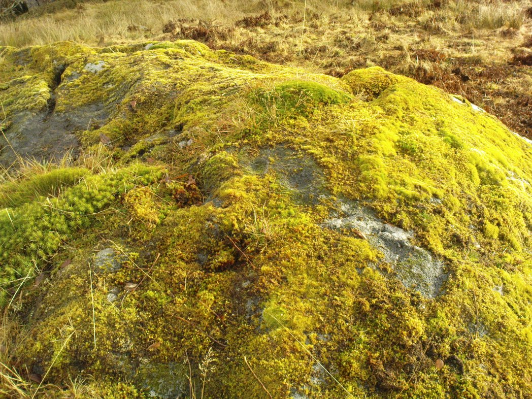
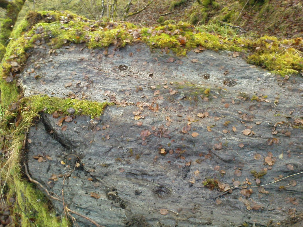
Two of at least 6 cup-markings on these mossy rocks

Another carving that’s a short distance from the famous Stag Cottage carvings on the opposite side of the river.  This lovely moss-covered rocky mass has two sections of cup-markings on it – both of which have proved difficult to photograph because of the vivid green primal cover.  It’s found less than 100 yards from the CE04 carving and below the hillock of the CE02 cup-and-ring (as you can see in the photo above).

The rock itself has two carved sections: an upper and lower section, with at least three cup-markings on the lower section and three on the upper portion as well.  Some natural geological marks on the lower part of the rock may have been added to, but this is by no means clear.  There may well be other elements to this ancient carving, but I wasn’t about to strip all the lovely moss from the stone just to find out.  It’s a truly beautiful stone in a gorgeous setting and, despite the day being grey and overcast, I wasn’t about to defile the greenery here.  It’s one of a group of at least four carvings east of Corrycharmaig that have not previously been catalogued.  Other carvings likely remain to be found close by.

© Paul Bennett, The Northern Antiquarian

St. Fillan’s Well, Comrie, Perthshire

Holy Well: OS Grid Reference – NN 7080 2327

Also Known as:

  1. Well of St. Fillans

Archaeology & History

Found by the legendary hill of Dundurn, east of Loch Earn, this legendary healing site has been written about by many historians, both local and national. An early account of it was given by the local priest, Rev. Mr McDiarmid, minister of the parish of Comrie at the end of the 18th century, who informed those compiling the Old Statistical Account of the area, the following information:

“This spring, tradition reports, reared its head on the top of Dun Fholain (Fillan’s Hill) for a long time, doing much good, but in disgust (probably at the Reformation) it removed suddenly to the foot of a rock, a quarter of a mile to the southward, where it still remains, humbled, but not forsaken. It is still visited by valetudinary people, especially on the 1st of May and the 1st of August. No fewer than seventy persons visited it in May and August, 1791. The invalids, whether men, women, or children, walk or are carried round the well three times in a direction Deishal—that is from east to west, according to the course of the sun. They also drink of the water and bathe in it. These operations are accounted a certain remedy for various diseases. They are particularly efficacious for curing barrenness, on which account it is frequently visited by those who are very desirous of offspring. All the invalids throw a white stone on the Saint’s cairn, and leave behind them as tokens of their gratitude and confidence some rags of linen or woollen cloth. The rock on the summit of the hill formed of itself a chair for the Saint, which still remains. Those who complain of rheumatism in the back must ascend the hill, sit in this chair, then lie down on their back, and be pulled down by the legs to the bottom of the hill. This operation is still performed, and reckoned very efficacious. At the foot of the hill there is a basin made by the Saint on the top of a large stone, which seldom wants water even in the greatest drought, and all who are distressed with sore eyes must wash them three times with this water.”

We see from this early account that there’s a discrepancy regarding the location of St. Fillan’s Well, as the modern accounts indicate it to be at the top of the craggy hill. In some upland regions this occurred so as to maintain a sense of secrecy about the location of local sites, so ensuring they were not affected or disturbed by outsiders or incomers, who not only disrespected local customs and rites, but tried changing or altering them to their new ways. It also kept the local gods and spirits of the sites protected from tourism and the profane. This may explain the difference in locations described by Rev. McDiarmid.

About one hundred years after McDiarmid’s account, another priest called Tom Armstrong (1896) wrote a piece in the Chronicles of Strathearn (1896) all about this holy well, saying:

“People are prone to believe that the dirty pool of stagnant water which still remains in the driest summer on the top of St. Fillan’s Hill is the famous spring to which pilgrims at one time resorted. Any one who examines it will not fail to observe that it has all the appearance of an artificially built well, and must have been kept in order and preservation for a purpose. Tradition confirms the belief that this was at one time the well, but not always.”

The hill on which it is found was an ancient dun or fort, built in prehistoric times, making you wonder how far back in time its magickal abilities were known about.

References:

  1. Armstrong, Thomas, “By the Well of St. Fillan,” in Chronicles of Strathearn (David Phillips: Crieff 1896).
  2. Gordon, Seton, Highways and Byways in the Central Highlands, MacMillan: London 1948.
  3. Hunter, John, et al, Chronicles of Strathearn, David Phillips: Crieff 1896.
  4. Morris, Ruth & Frank, Scottish Healing Wells, Alethea: Sandy 1982.

© Paul BennettThe Northern Antiquarian


Tomochrocher, Glen Lochay, Perthshire

Cup-Marked Stone:  OS Grid Reference – NN 457 359  —  NEW FIND

Getting Here

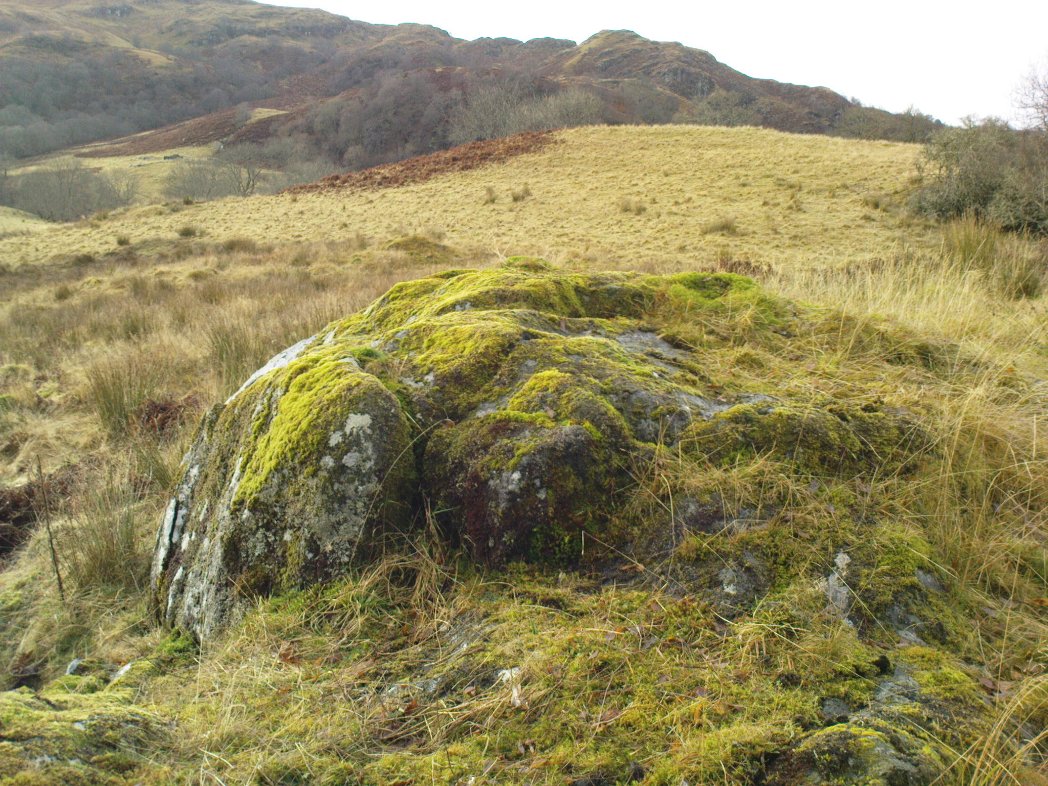
The stone in its setting

From Killin heading out along the northern Loch Tay road, turn left just past the Bridge of Lochay hotel and go right to the very end of Glen Lochay, just past Kenknock.  From here you’ve gotta keep walking along the glen’s dirt-track, and when you go through the third gate along (about a mile), another 100 yards on, keep your eyes peeled for a reasonably large boulder on the left of the track. This is your marker to go up on the right-hand side of the track, where the large stone is about 20 yards up the slope.

Archaeology & History

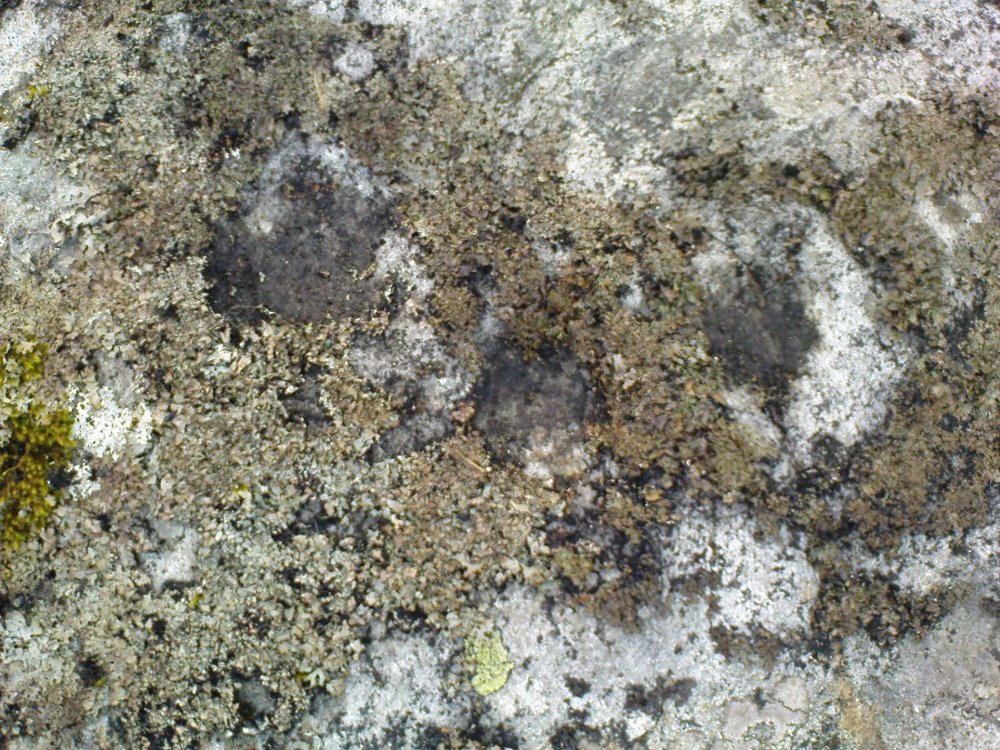
Three cup-marks & their lichen

Not far from a prehistoric hut circle relocated by archaeologist Dugald MacInnes I found this, a previously unrecorded cup-marked stone, when I was ambling about around the top of this beautiful valley last week.  It’s only a simple cup-marked stone with two very distinct cups and a probable third in the middle of the well-defined ones.  A covering of aged lichen was living on the carved rock and it seemed that there may have been other cups beneath the lichen — but I’ve got a real love of these old plants and wasn’t about to tear them from their homely stone.

There are some other little-known unrecorded human remains all along the slopes above here, which I’ll have a look at when next up this Valley of the Black Goddess…

© Paul Bennett, The Northern Antiquarian

Fingal’s Stone, Killin, Perthshire

Standing Stone:  OS Grid Reference – NN 5712 3301

Also Known as:

  1. Canmore ID 24192

Getting Here

Fingal’s Stone, Killin

Less than 100 yards up the road from the Co-op in Killin, take the footpath on the same side of the road into the park at the back of the buildings. Keep following the footpath round the back of the buildings and you’ll see the stone in front of you soon enough.

Archaeology & History

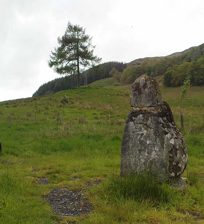
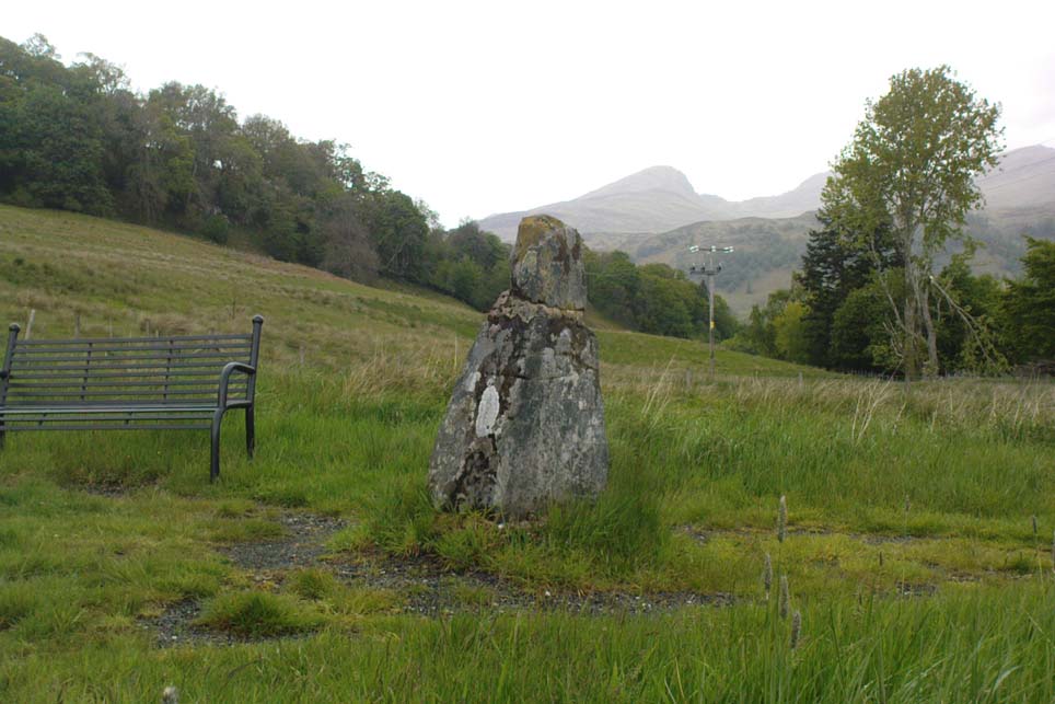
Another curious site in this quite beautiful mountainous arena.  Thought to have originally stood by the rounded fairy knoll a bit further up the hill, no one knows for sure when the stone was moved to its present position—but locals will tell you how the curious knob-end atop of the stone was also a later addition to the fallen original, when it was resurrected in the latter half of the 19th century.  C.G. Cash (1912) also found the fairy mound and its companions on the slope above to be of interesting, wondering, as I have, that “they might have been burial mounds.” The local historian William Gillies (1938) said of the stone:

“Both the Old and New Statistical Accounts of the parish of Killin make reference to a site near the village that had been pointed out from time immemorial as the burial place of Fingal, the hero of Celtic folk stories. At this point, which is in the middle of a field immediately behind the schoolhouse, there is a standing stone 2 feet 8 inches high and 5 feet in girth.  The stone had fallen, but in 1889 it was re-erected by Mr Malcolm Fergusson, a patriotic native of Breadalbane.  Without any reference to the original arrangement, a smaller stone was fixed on the top, and others were placed near it. The lands in the vicinity of Fingal’s Stone used to be called Stix.  The name suggests that here, as at Stix between Kenmore and Aberfeldy, there were a number of standing stones, of which this one alone remains.”

And it certainly smells that way… Yet no further monoliths have been found hereby or on the slopes above.

Folklore

Reputed to be a stone that marks the grave of the hero-figure, Fionn.  Local historian  Duncan Fraser (1973) told that:

“Killin is steeped in history and one of its memorials of the past is a standing stone in a field behind the school, that is said to mark the spot where the mighty Fionn lies buried.  He is believed to have died about the end of the Iron Age, in 283 AD.”

Gazing N, to the Cailleach

William Gillies (1938) also reported how tradition said that an early church and graveyard was once to be found at the original site of Fingal’s Stone. Legends of Finn, his magick and his encounters with both faerie and men are found all over the landscape in this neck o’ the woods….

References:

  1. Cash, C.G., “Archaeological Gleanings from Killin,” in Proceedings of the Society of Antiquaries of Scotland, volume 46, 1911-12.
  2. Fraser, Duncan, Highland Perthshire, Standard Press: Montrose 1973.
  3. Gillies, William A., In Famed Breadalbane, Munro Press: Perth 1938.
  4. Wheater, Hilary, Killin to Glencoe, Appin Publications: Aberfeldy 1982.

© Paul Bennett, The Northern Antiquarian

Clach na Boile, Kinloch Rannoch, Perthshire

Standing Stone:  OS Grid Reference – NN 66983 57984

Also Known as:

  1. Canmore ID 24556
  2. Clach na Voile
  3. Stone of Fury

Getting Here

Clach na Boile & its rocky landscape

From the lovely village of Kinloch Rannoch, take the south road over the river that heads (eventually) to Aberfeldy.  3-400 yards along, another small road meets with the one you’re on, on your right. Stop here! Then look across at the field ahead of you, on your left, and you’ll see a small standing stone amidst the green.  That’s it!

Archaeology & History

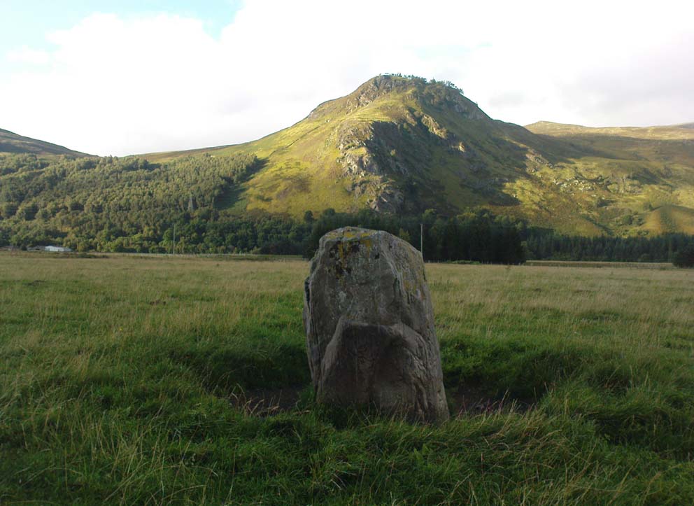
This is a small, squat but impressive standing stone, less than 4 feet tall, set amidst a beautiful landscape which catches the eye in every direction.  Found close to the remains of several prehistoric cairns, it seems probable that funerary associations would have happened here, although direct evidence is lacking.

Folklore

Clach na Boile, looking south

Although I can find nothing specific to account for the Gaelic meaning (“stone of fury”) of the monolith, on the other side of the road in the trees is the old house of Innerhadden, where a curious ghost story told how an old inhabitant there was helped by the spirit of one who died in the Battle of Culloden. (Cunningham 1989)

References:

  1. Cunningham, A.D., Tales of Rannoch, Perth & Kinross District Library 1989.

© Paul Bennett, The Northern Antiquarian 

Allt Leathan Stone, Fortingall, Perthshire

Standing Stone: OS Grid Reference –NN 7251 5659 

Getting Here

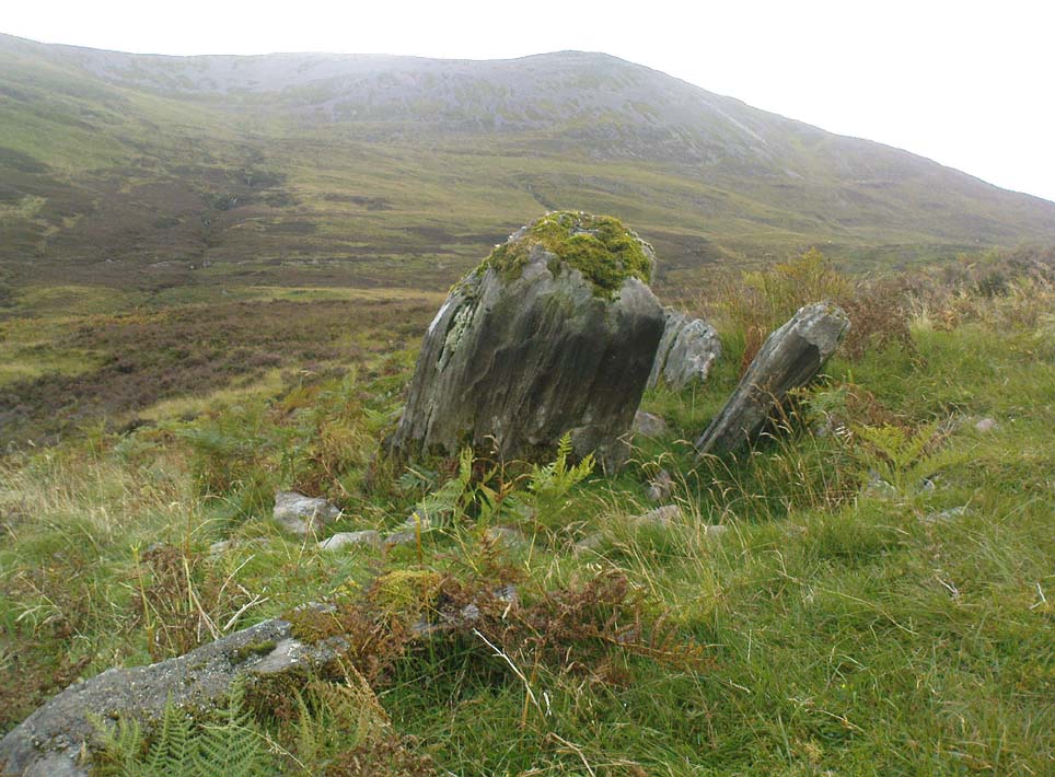
Allt Leathan stone

Follow the same directions to reach the Allt Leathan enclosure and hut circles.  Walk along the eastern side of the hill on which the enclosure mainly sits, and as it slopes down the hill, you’ll note an odd-shaped stone leaning at an angle less than halfway down.

Archaeology & History

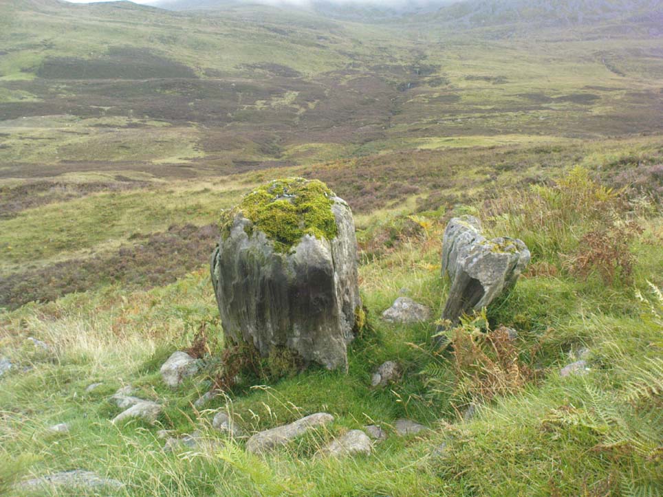
A truly curious and fascinating site, not previously recorded, but found by Paul Hornby on August 7, 2012, during a venture to explore the nearby settlement and hut circles around Meall Dubh.  On the eastern slope over the edge of the Allt Leathan enclosure, with its hut circles and possible cairns, we see this upright worn stone, leaning at an angle, which would stand nearly 5 feet high if pushed properly upright.  It is found in association with two other smaller stones, all of which stand and lean in the same direction.

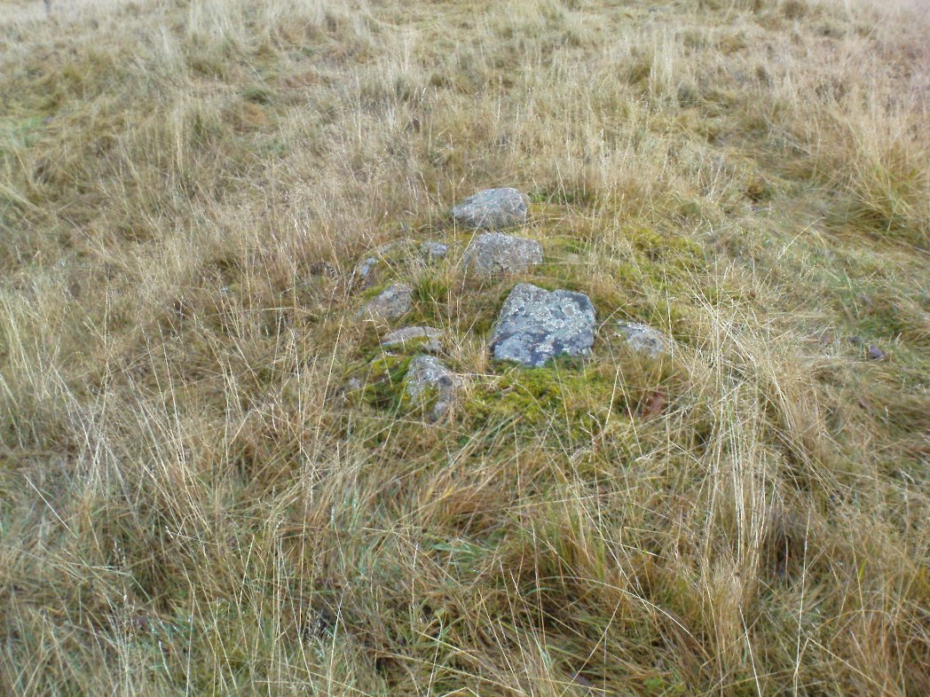
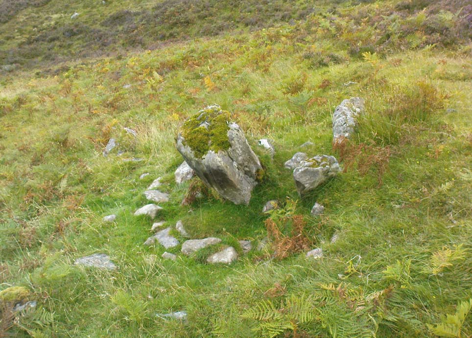
Possible cairn remnants surrounds base of stone
…and again

Around the base of the main stone is a scatter of small rocks, as if suggesting that a cairn was once next to the standing stone, perhaps inferring that the stone marked a tomb.  There is also a very distinct line of walling running along the axis of the upright stones, meaning that we cannot discount the possibility that the monoliths here were connected with a walled enclosure in some capacity. And considering the excess of other prehistoric remains close by, this may be more likely than not!

© Paul Bennett, The Northern Antiquarian