Newell’s Well, Glentham, Lincolnshire

Holy Well:  OS Grid Reference – SK 981 897

Getting Here

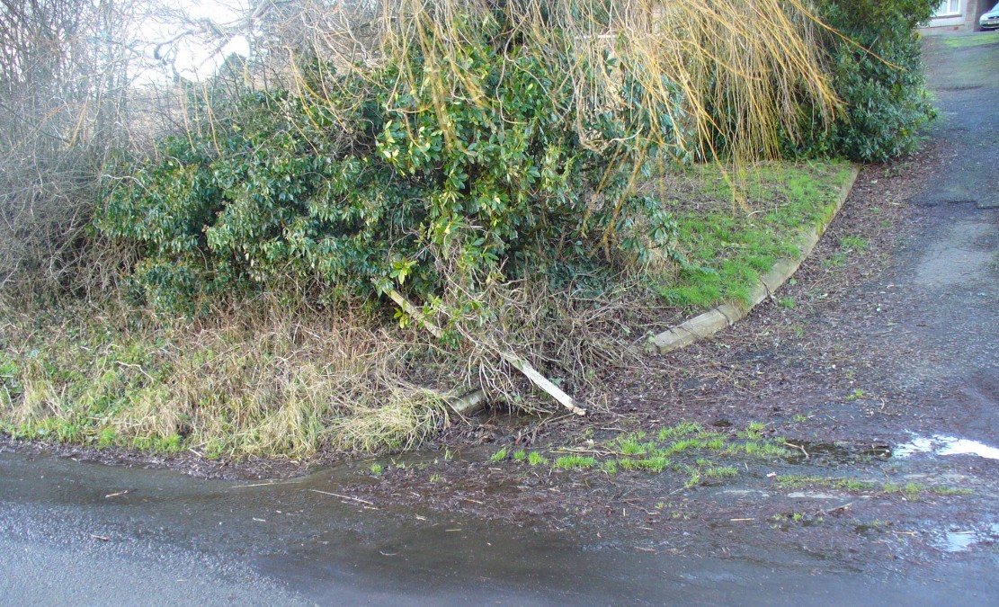
Newll's Well, Glentham
Newll’s Well, Glentham

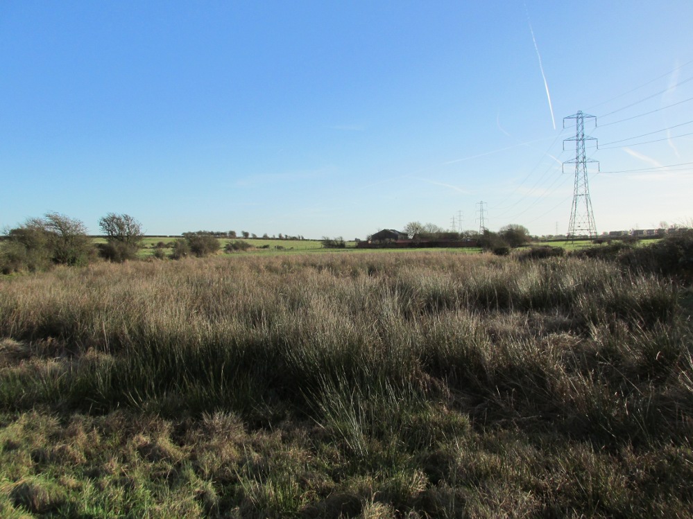
Leave Glentham on the way to Caenby Corner. You pass a footpath marked on the right-hand side (it goes to Highfield farm). The road makes a bend to the right and then before a slighter turn to the left, just before this last bend there is a little lane to the right. Park safely here and then there is copse. You will need to scramble down there and follow the small stream to its source. It runs almost just under the road.

Archaeology & History

Many wells have associations with seasonal customs, but perhaps one of the most unusual traditions is that found in the Glentham Parish in Lincolnshire. Here can be found the Newell or Newell’s Well which had associated with it a rather unique custom: the ceremony of ‘Washing Molly Grime’ The tradition appears to have become confused over the centuries. A full account is recorded by a H. Winn in Notes and Queries (1888-9):

“The church of Glentham was originally dedicated to Our Lady of Sorrows, a circumstance obviously alluded to by a sculpture in stone of the Virgin supporting the dead Christ in her arms, still to be seen over the porch entrance and placed there by some early representative of the Tourneys of Caenby, who had a mortuary chapel on the north side of Glentham church. The washing of the effigy of the dead Christ every Good Friday, and strewing of his bier with spring flowers previous to a mock entombment, was a special observance here. It was allowed to be done by virgins only, as many desired to take part in the ceremony being permitted to do so in mourning garb. The water for washing the image was carried in procession from Neu-well adjacent. A rent was charged of seven shillings a year was left upon some land at Glentham for the support of this custom, and was last paid by W. Thorpe, the owner, to seven old maids for the performance of washing the effigy each Good Friday. The custom being known as Molly Grime’s washing led to an erroneous idea that the rent charge was instituted by a spinster of that name, but ‘Molly Grime’ is clearly a corruption of the ‘Malgraen’ i.e. Holy Image washing, of an ancient local dialect. About 1832 the land was sold without any reservation of the rent charge.”

The origin for the wells name is also confused.  Rudkin (1936) notes:

“They reckon it’s called Newell’s well on account of a man named Newell as left money to seven poor widow women..”

However, it is more likely to be simply new well, perhaps deriving its name from ‘eau’, a common word in the county.

When and why the tradition switched from washing the holy image to that supposedly of the Tourney (Lady Anne Tourney a local 14th century land owner) is unclear, but it is possible that the change occurred at the Reformation and that perhaps the money was given to wash both holy image and that of the benefactor and post Reformation only the benefactor washing survived. There is a similar tradition called the ‘Dusters’ in Duffield.  The name of the activity clearly survived as Rudkin that:

 “ they’d wash a stone coffin-top as in the Church; this ‘ere coffin-top is in the form of a women. ‘Molly Grime’ they calls it.”

The tradition even appears to have earned some note nationwide, for a nursery rhyme about the custom is known:

Seven old maids, Seven old maids,
once upon a time, Got when they came
Came of Good Friday, Seven new shillings
To wash Molly Grime, In Charity’s name,
The water for washing, God bless the water
Was fetched from Newell, God bless the rhyme
And who Molly was I never heard tell. And God bless the old maids that washed Molly Grime

Sadly the selling of the land appeared to killed off the tradition, except that between 2004 and 2007 a special Father’s Day race for women was established. This involved filling a balloon with water from Newell’s spring and the subsequent attempt for getting it back to the village without bursting it. In essence it remembered the tradition, but sadly it too appears to have fallen into abeyance.

Folklore

Another tradition in the village was that if one drank its waters one was said never to leave the village. A correspondent of Sutton (1997) states:

 “An old boy told me about the ‘healing well of Glentham. It was named after a saint but I can’t remember the name he used. Some folk call it Newell’s well. Many people came to take the healing waters and in the spring of the year, the Church held an annual service for ‘good water for the rest of the year’, the service marked a new year of the waters. The well was dressed in a traditional way using clay and flower petals to make some kind of picture, usually a saint. I’m told it look very impressive”

This is presumably before the site was enveloped in scrub as it is now. The report is interesting for a number of reasons; firstly because the correspondent refers to the waters as healing, secondly that it was dedicated to a saint and thirdly the account of well dressing more reminiscent of Derbyshire, and as far as I am aware it is only such example, as well dressing at Welton and Louth appeared to be more garland related. None of these observations have been made elsewhere which either casts doubt in the correspondent or more likely the patchy nature of well traditions in the county.

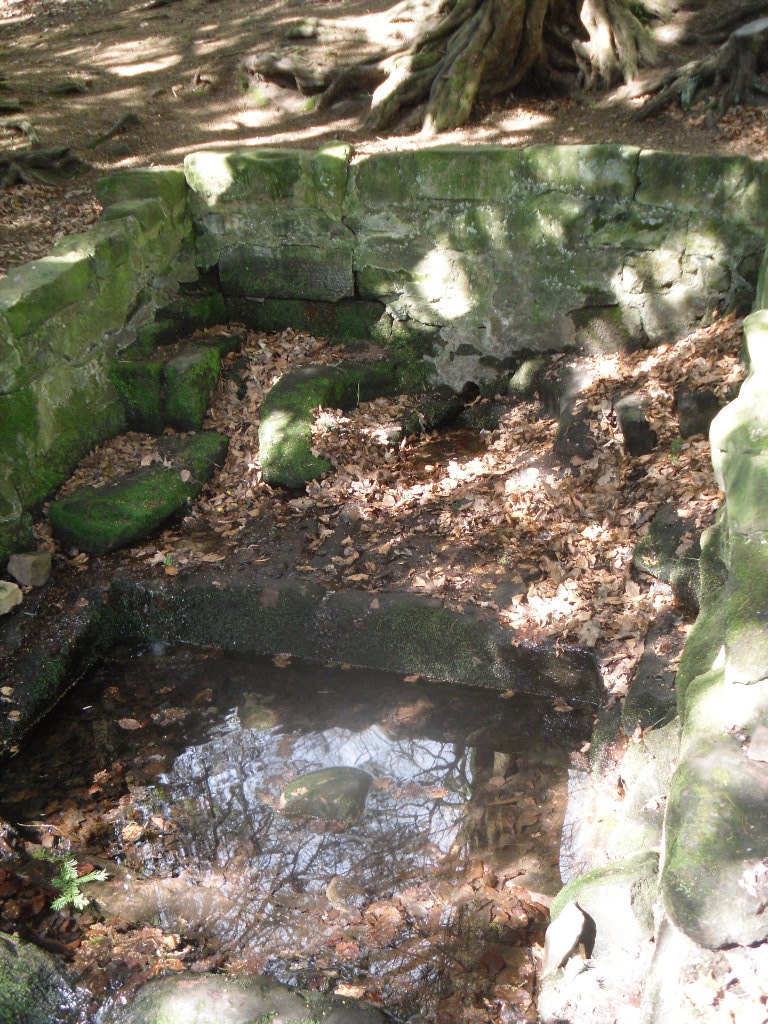
Despite the loss of the custom, the well still survives, the water clear and flowing arises beneath a stone built chamber of seven courses of stonework with a small square outlet through which the water flows.    However, according to recent reports boring in the vicinity has resulted in the water being drained away but I have been unable to ascertain this.

(Essay from the book by R.B. Parish – Holy Wells and healing springs of Lincolnshire)

References:

  1. Parish, R.B., Holy Wells and healing springs of Lincolnshire
  2. Reynolds, Jeff, Glentham Parish Council – Personal Comm.
  3. Rudkin, E.H., (1936) Lincolnshire Folklore
  4. Sutton, M., (1996) A Lincolnshire Calendar
  5. Winn, H (1888-9) in Notes and Queries

Links:

  1. Holy and Healing Wells
  2. In Search of Traditional Customs and Ceremonies

Copyright © Pixyled Publications


Gawton’s Well, Kynpersley, Biddulph, Staffordshire

Healing Well:  OS Grid Reference – SJ 898 555

Getting Here

The Gawton Well
The Gawton Well

If you park in the first car park at Greenaway Country Park past the lake, and then walk along the road taking the footpath on the left around the lake, continue until one crosses a bridge, just below the Warden’s Tower taking a path which follows a small stream, past a pond and then continue until there is a bridge on the left.  Just after this is a path on the right you will reach the Gawton Well.

Archaeology & History

The spring, voted one of the most mystical places and certainly one of the most atmospheric of Staffordshire’s ancient wells, is found on the remains of the Kynpersley Estate.  It fills at first an elliptical stone basin, then a small rectangular basin and then a larger one which could have formed a bath.  There is a semi-circular stone just after this and it then flows through a number of large rocks forming a stream.  The site has an excellent arrangement: the juxtaposition between the man-made and the natural.

Perhaps what makes this well one of the most evocative and interesting is the fact that it arises in an oval grove of yew trees.  Some folklorists and New age Antiquarians have seen this as being evidence of some pagan origin of the well and although it is interesting that the site is unconverted to the Christian faith.  However, one must be careful.  Firstly the trees do not look that old and secondly the presence of a nearby Warden’s Tower, a folly, suggests that this is perhaps a 18th century piece of antiquarianism.  I have been unable to find much more of its history.
Folklore

The Gawton Stone
The Gawton Stone

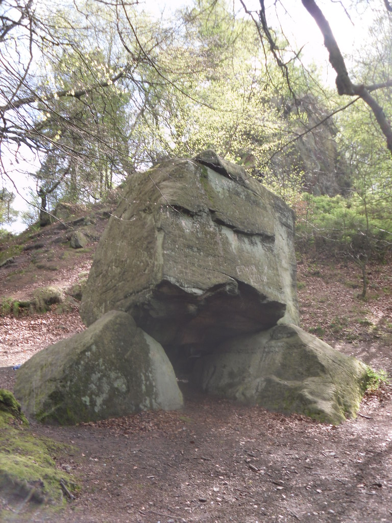
This suggestion of the site being a folly may be justified by the presence of Gawton’s Stone. This is just up from the spring, being a large stone supported by three other stones. Some antiquarians identified erroneously this as either a druidic altar or megalithic structure (it would be impossible to lift the structure). However it is here that legendarily a hermit lived called Gawton who used the well. Often landowners would employ a hermit to add some romance to the estate, although the stone does not particularly look like a comfortable place. Certainly local tradition states that the man came from Knypersley Hall in the seventeenth century, although the house is 18th century and no name is recorded as living there of any note! The house itself dates from the 12th century. Robert Plot (1686) in his work on Staffordshire states that:

“There are many waters such as the water of the well at Gawton Stone…which has some reputation for the cure of the King’s evil..”

The King’s evil was a skin complaint generally called scrofula which was only thought to be cured by the touch of the reigning monarch.  Now rarely do I try out springs, but at this time my little boy was suffering with eczema and having tried all sorts of creams I said flippantly try some of the well’s water.  I collected it from near the source in a drinking bottle, it felt unusually silky to the skin, and applied some to an area of dry peeling skin on his cheek. Remarkably by the time we had walked from the well to the car the area have healed itself rather miraculously.  I only wished I had collected some more to use later, although the area on his face disappeared for good….

In all Gawton’s Well deserves to be more well known, a magical site of which my only clue, many years ago before the internet, to its existence before reaching it was a circle on the OS-map!  A site which may reveal its secrets with greater research, which I plan to undertake whilst preparing for the Staffordshire book below.

References:

  1. Parish, R.B., Holy wells and healing springs of Staffordshire (forthcoming) full set of references within.
  2. Plot, Robert, A Natural History of Staffordshire, Oxford 1686.

Links:

  1. Holy and Healing Wells

© R.B. Parish, The Northern Antiquarian


St. John’s Well, Welham, Nottinghamshire

Holy Well: OS Grid Reference – SK 7255 8280

St John's Well house
St John’s Well house

Getting Here

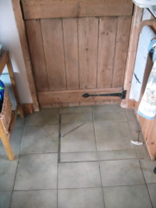
One of the most unusually sited of Nottinghamshire’s holy wells is St. John’s Well at Welham. It lies beneath a private kitchen floor in a house in Bonemill Lane in Welham, just off the Clarborough Road out of Retford.

Archaeology & History

The well itself is undoubtedly an ancient one. The Domesday Book refers to ‘Wellun’; this changed to ‘Wellum’ by 1166, and by the 16th century had become ‘Wellom’; but in Chapman and Andrews map of Nottinghamshire in 1775 was shown as ‘Welham’.  None of these sources call it St John’s Well and it is not so named until 1710, either as a re-dedication once the Reformation zealouts had died down, or perhaps coined by John Hutchinson to give the bath a story to explain its healing waters.  It is shown on Chapman’s map of Nottinghamshire (1774) as ‘Well House’.  Piercy (1828) gives the greatest information and states that the hamlet of Welham was named after St. John’s Well whose waters contained magnesium and gypsum and was:

 “good for rheumatics and scorbutic diseases. Its waters formed into a large bath, and remained entire during the early part of the 18th century, it was famous for many cures, but latterly it has lost much of its celebrity.John Hutchinson, Esq. erected a cottage adjoining, and enclosed the bath, to preserve it from injury. Cold baths like this were formerly regarded with superstitious reverence, being supposed to possess a sovereign remedy for agues such as rheumatism.”

The well-cover
The well-cover
Looking into the well

By 1832 White’s Directory notes that it had lost much of its former celebrity. A Robert Walker was a bath keeper at the Well house and may well have been the last one as it appears the well soon fell into terminal decline and I can find nothing is noted of it until 1938. At this time it is noted that its water was still used to provide several cottages in the village. An article written in 1957 states the bathhouse disappeared stating the coming of the railway encouraged people to move away to find more effective spas around the 1830s. It goes on to note that the actual spring location was lost. This I thought was to be the situation, but local investigations not only showed the house to be still existence but the bath still remained! Records show that the estate, was bought by an Arthur Robert Garland of Welham Hall from the deceased estate of John Henry Hutchinson of Clarborough Hall acres117.3.16 along with Well House Cottage and garden for the sum of £3200 on in 1910. He then sold the cottage and garden to Fred Anderson on 1910 for £130. This was subsequently bought by the late Mr Eric Durham on 1955, later to be purchased by the current owner, Mr Whelan, in 1975.

st-johns-well-welham04 The present house, although it had been added onto in the last century, has its core fabric as John Hutchinson built it. The large house being the well keeper’s abode with the side building, now a modern kitchen was the bath house.  Arriving at the house, I was at first shown the site by Mr. Whelan the spring which filled the bath which was diverted to the side of the house, the spring itself arising close to the footpath behind the house. A man-hole cover in the drive way revealed that the spring flows at a fast rate, several gallons per minute. He notes that it had a very high mineral content, soaking through the gypsum in Clarborough hills. He stressed it is drinkable, in small quantities, due to its high magnesium and sulphate (like Andrews Liver Salts). It is quite chalky to taste flat but is very pleasant to drink if aerated. However he did not recommend long term drinking was probably not good for one’s health.

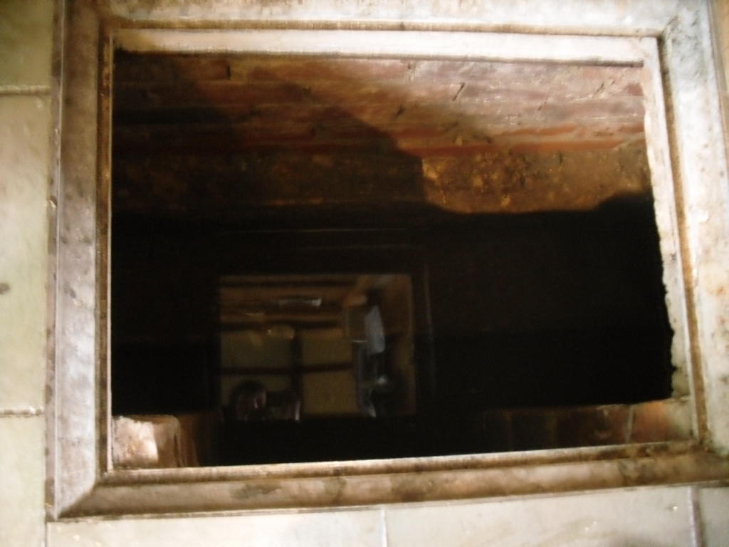
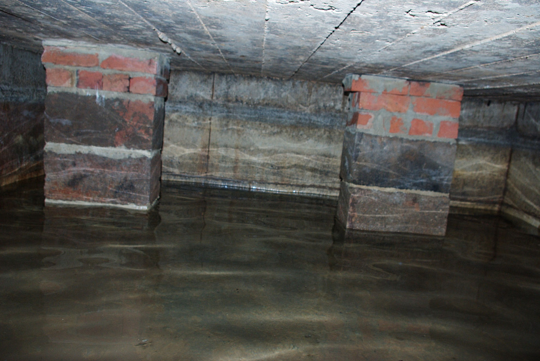
st-johns-well-welham05In the kitchen, a small trap door can be removed and beneath the remains of the bath is revealed. This appears to as Mee (1938) describes; a stone basin twelve feet square with a flight of steps entering the water. I scrambled down into this bath and found it presently to have two stone steps which enter the bath, although bricks built upon these suggest that there may have been more.

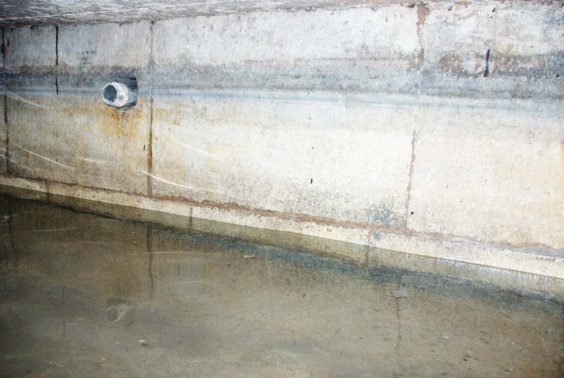
st-johns-well-welham06Remarkably the bath still remains enclosing an area fifteen feet by twelve feet, and despite the water being diverted, was full to over a two foot of water. The present kitchen is supported by four brick pillars but this does not appear to have damaged the fabric of the bath which is in fine condition, being made of good quality neat squared stonework. A pipe is found four feet high or so in the wall and a line around it made by the presence of water indicates that the water was of a considerable depth supporting the fact that it was large enough to be a hazard, explaining how Thomas Heald, Vicar of Babworth drowned in it on the 18th June 1759. Mr. Whelan informs me that although the house is not a listed building previous owners had sensibly preserved the bath. Around 30 years ago he was often showing local school children, but it appears now to forgotten. So there it remains a curious relic preserved in its most unusual place.

Folklore

John Piercy (1828) notes:

“Here was, until lately, a feast, or fair, held annually on St. John’s day, to which the neighbouring villagers resorted to enjoy such rural sports or games as fancy might dictate.”

What is interesting about this account is the reference of games and a fair suggesting that if the well itself did not have such a dedication, the saint was celebrated in the locale. This may indicate that indeed the well was so dedicated or that Hutchinson chose this name because of the local fair. Without further information we shall never know.

It must be noted that due to its location, under a private kitchen, that the site is not readily viewable so please don’t turn up unannounced.

References:

  1. Mee, Arthur, Nottinghamshire, Hodder & Stoughton: London 1938.
  2. Parish, R.B. (2010) Holy Wells and healing springs of Nottinghamshire
  3. Piercy, John S., The History of Retford, F. Hodson: Retford 1828.

Links:

  1. Holy and Healing Wells

© R.B. Parish, The Northern Antiquarian 


Moir’s Well, Dollar, Clackmannanshire

Healing Well:  OS Grid Reference – NS 96535 98711

Getting Here

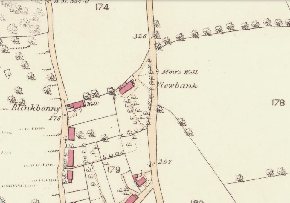
Moirs Well on 1866 OS-map

Go up the road alongside the Dollar Burn, turning right, up the steep hill as if heading to the Wizard’s Stone and the impressive Castleton monolith, a mile further along.  Before reaching the Wizard’s Stone, keep your eyes peeled on the right for the street-name, ‘Moir’s Well’.  From here, walk up the road less than another 100 yards and till you reach the water-cover.

Archaeology & History

Site of the old Muir's Well
Site of the old Muir’s Well

There is little known about any history of this now-covered old well, halfway up the steep slope towards Lochy Launds.  It was noted by Ordnance Survey in 1861 and subsequently published on the earliest OS-map a few years later. It was obviously a wayside well for those venturing up the steep hill and used to have an old stone trough into which the waters ran.  Although we don’t know for certain, the etymology of the well probably comes from the surname Muir, which according to William Gibson (1883) was common in the old village.

People living in the houses below here, told us that after heavy rains their gardens become very boggy, which is probably due to the sub-surface water from Muir’s Well.  Tis good to know that the waters are still finding their way out!

References:

  1. Gibson, William, Reminiscences of Dollar, Tillicoultry and other Districts Adjoining the Ochils, Andrew Elliot 1883.

© Paul Bennett, The Northern Antiquarian


Ladies Well, Alva, Clackmannanshire

Holy Well:  OS Grid Reference – NS 8857 9788

Also Known as:

  1. Wishing Well

Getting Here

1918 postcard of Ladies Well

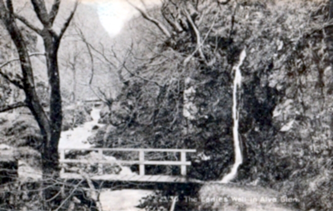
From Alva, take the signs to walk up the gorgeous Alva Glen gorge, past the site of the Dwarf’s Tomb, over the bridge past the first waterfall and up the footpath and into the glen proper.  The path runs parallel with the gorge and a few hundred yards along you’ll reach a small footbridge.  Immediately before this, on your right, coming down through the crags by the side of the path, the waters fall from the well in question.  It’s easy enough to see.

Archaeology & History

Waters of the Lady Well on a dark, grey evening

The history of this site is seemingly hidden.  Little has been written of it and its dedication to some ‘Lady’ is an oddity.  I can find no specifics telling who the ‘lady’ in question is.  The other Lady Well at Tillicoultry, a mile or two east, is equally bereft of historical certitude.  Whether it is another dedication to the supposed ‘virgin’ Mary of the christian cult, or a local lady whose name has long since been forgotten, we do not know.  Additional info on this site would be most helpful.

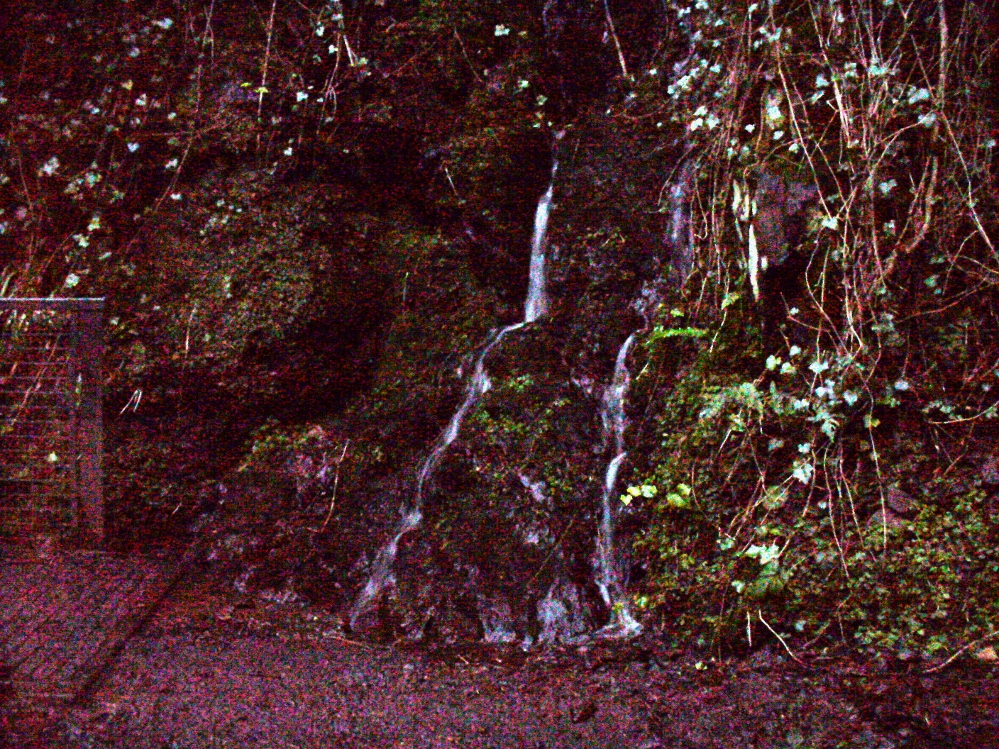
Shown on an early postcard of the Alva Glen and highlighted in Mr Pithie’s (1982) work, the waters here—running down the crag-face from a spring at the top—are fine, fresh and almost sweet-tasting, rich in minerals and healthy nutrients no doubt.  Without doubt, I’d recommend a drink of this every time you walk past here! (apologies for the dark photo – I’ll get a better one next time we’re up there)

References:

  1. Corbett, L., et al., The Ochil Hills, Forth Naturalist & Historian 1994.
  2. Pithie, A., Views of Alloa and the Neighbourhood, Clackmannan District Libraries 1982.

Acknowledgements:  Grateful thanks to Lisa Samson for help with directions.

© Paul Bennett, The Northern Antiquarian


Lady Well, Clackmannan, Clackmannanshire

Holy Well:  OS Grid Reference – NS 9112 9166

Getting Here

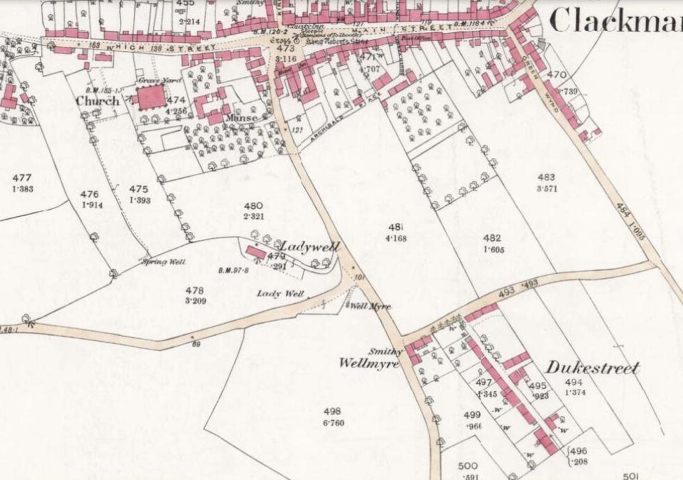
1866 OS-map showing Lady Well

From Clackmannan village centre (with its huge phallic stone), at the crossroads take the south road, Port Street.  Walk on here for 100 yards or so and the aptly named Ladywell Grove appears on the right. Walk past there and take the next right down Craigie Road.  The original well was barely 50 yards along where the garden edges are today, within yards of the OS-grid ref; but walk another 100 yards down and, by the roadside is a waterworks cover.

Archaeology & History

Lady Well overflow?
Lady Well overflow?

One of at least three ‘Lady Wells’ that are known in tiny Clackmannanshire—and, like the others, it has not fared well. Not included in either of the major surveys (MacKinlay 1893; Morris 1981), nor referenced in the St. Bartholomew’s Day celebrations once held in the village.  It is listed only in passing by Walker (1883) and Simpkins’ (1914) and I can find no references to it in the local history works.  Yet it appears in differing place-name forms on the earliest Ordnance Survey maps and its name is still retained in streets-names here.

Whether this old spring of water was dedicated to St. Mary (as the majority of Lady Wells in Britain tend to be), or it was named after a local lady, history records seem quiet on the matter.

The original spot for the well (highlighted on the 1866 OS-map above) is covered in shrubs and seems to be gone. But another 100 yards down the road, a water-cover regularly overflows during heavy rains and this may be where its waters were diverted to.

References:

  1. Simpkins, John Ewart, County Folklore – volume VII: Examples of Printed Folk-Lore Concerning Fife, with some Notes on Clackmannan and Kinross-Shires, Folk-Lore Society: London 1914.
  2. Walker, J. Russel, “‘Holy Wells’ in Scotland,” in Proceedings of the Society of Antiquaries of Scotland, vol.17 (New Series, volume 5), 1883.

© Paul Bennett, The Northern Antiquarian

Bull Spring, Staining, Poulton-le-Fylde, Lancashire

Sacred Well:  OS Grid Reference – SD 35569 36707

Getting Here

The boggy ground of the Bull Spring - from the site of possible cairn
The boggy ground of the Bull Spring – from the site of possible cairn

To get here, leave Staining village along Mill Lane, turning right at the windmill along Smithy Lane.  Walk along Smithy Lane, then 2-300 yards past a derelict piggery on the left go into the gated trackway on the right, and Bull Meadow is to the south-east, a boggy area at the western end of OS parcel 356.  Be prepared to cross barbed wire fences.

Archaeology & History

Like the Staining Wrangdomwell or Fairy Spring recorded elsewhere, knowledge of this site owes its historical survival to the writings of Blackpool cleric, Rev. William Thornber (1803 – 1885), who wrote in 1851 about the now forgotton ‘Teanla’ or Hallowe’en bonfire cairns of Hardhorn:

“…but here adjoining the cairns are attached two wells, the one celebrated as Fairy or Wrangdomwell, and the other, issuing from a huge oblong mound of stones, as Bel spring or vulgarly Bull spring, in the Bull meadows, evidently bearing the same name as Beltain Meadow in Blackpool.  Here on this Hardhorn oblong cairn, ceremonies were observed for the purpose of obtaining health to the herds of the farmers of the township – to free the wheat-land from tares, weed &c. – to bring good luck to the votaries, and to enquire into the secrets of futurity.

The ceremony was thus:- first, large fires were lighted, two or three families joining at a circular cairn, the ashes of which were carefully collected. Then the white stones, which at first, had circled the fire were thrown into the ashes, and being left all night, were sought with anxious care at sunrise, when the person who could not distinguish his own particular boulder was considered fey, i.e. some misfortune would happen to him, during the course of the ensuing year¹.

As a finale, the stones recognised were thrown, as an offering, on the oblong cairn to the god or saint who presided over it, and the well, and thus, such collections were made in a succession of years, as to astonish the curious. The water of the wells also had a sovereign virtue for healing the disease of men and cattle….”

The healing procedure at the wells is transcribed in the description of the nearby Fairy Well. Mr Thornber continues:

“The site of the large circular cairn (at Bull Meadow) is not now easily to be distinguished, since Mr. Fisher, the proprietor of the field, has carted away upwards of twenty loads of the refuse that composed it, but the soil around it is burnt red and black. This farce was carried on in its pristine glory long after the reformation; for rational Christianity (sic), which had been almost lost previously, progressed but slowly in the district of the Fylde. Even the waters of Marton Mere (SW of Bull Meadow),…were held sacred.”

Perusal was made of the Schedule to the 1839 Tithe map which revealed a ‘Bull Meadow’, owned and occupied by William Fisher, and from this, its location was able to be identified on the OS map.

Possible source of the waters

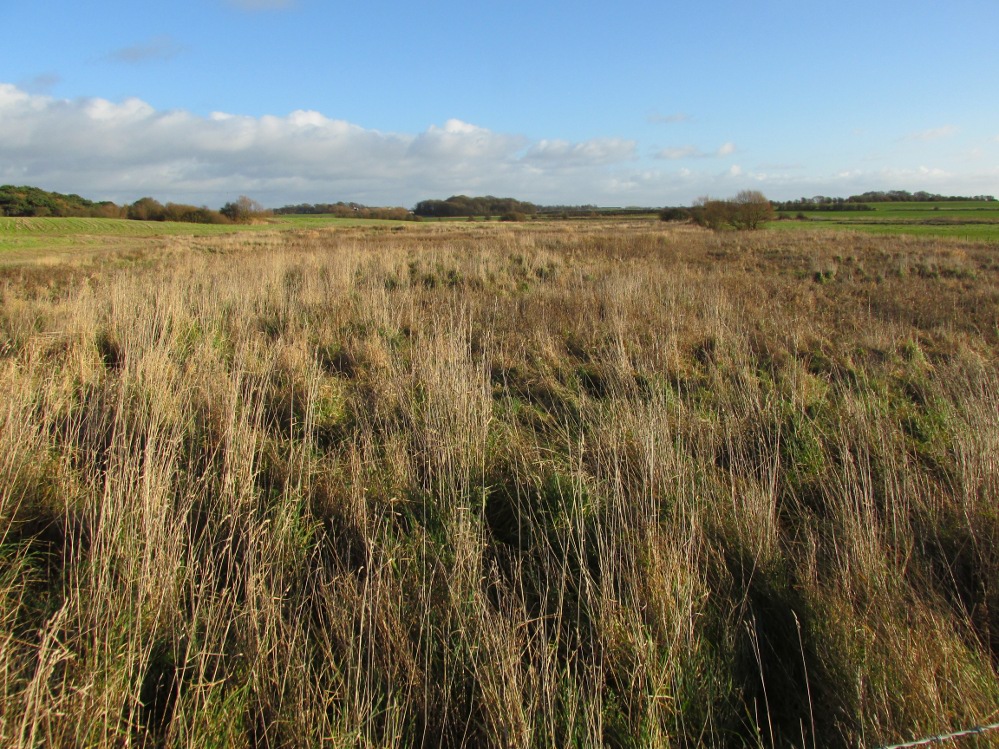
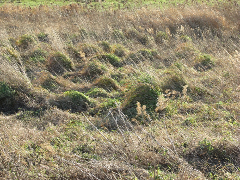
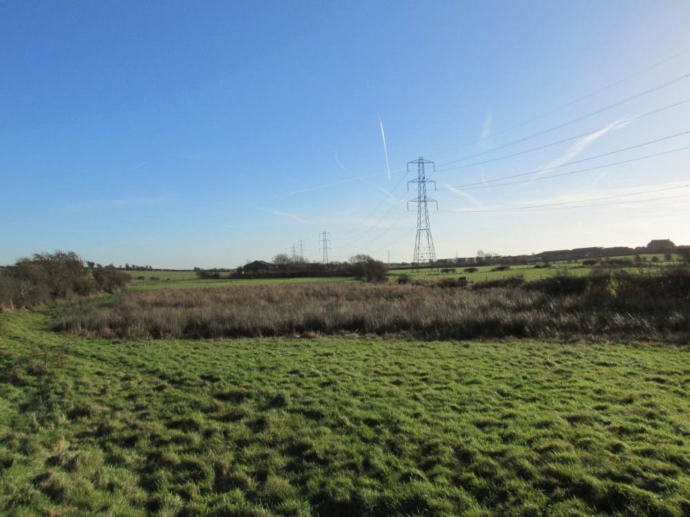
Like Wrangdom Well, half a mile to the north-west, the Bull Spring issues from an area of swampy ground, and the exact place of issue was hard to pinpoint when this writer visited in December (see photo the right).  The oblong cairn—if indeed that is what it is—can still be identified, about 2 feet above the marsh, it is firm to stand on but not easy to distinguish owing to the amount of vegetation.

¹ Writing in the January 1883 edition of the The Folk-lore Journal, the Reverend Walter Gregor describes ‘ristin the halla-fire’ a broadly similar Scottish ritual carried on in the Fraserburgh area up to the late 18th century.

References:

  1. Thornber, William, ‘Traces of the Britons, Saxons and Danes in the Foreland of the Fylde,’ in Proceedings and Papers of the Historic Society of Lancashire and Cheshire, Liverpool 1852.
  2. Tithe Map & Schedule Transcript – ‘The Township of Hardhorn with Newton’ Surveyed by Thomas Hull in 1838, with Schedule dated 1839.’

Acknowledgement:  My thanks to the staff of the Local Studies Department, Borough of Blackpool Library Services for their assistance.

© Paul T. Hornby, The Northern Antiquarian


Fairy Well, Staining, Poulton-le-Fylde, Lancashire

Sacred Well:  OS Grid Reference – SD 34908 37119

Also Known as:

  1. Wrangdom Well

Getting Here

The site of the Fairy Well, Staining

One and a half centuries of neglect have not been kind to the Wrangdomwell, which is now in the middle of a large area of swampy land, reached from Staining village along Mill Lane, turning right at the windmill then walking along Smithy Lane.  Just before a derelict piggery on the left go into the field, and Wrong Well Meadow is on the right at the back of the piggery, with the spring issuing from the boggy ground. Be prepared to cross barbed wire fences, and to meet some friendly ponies.

Archaeology & History
Were it not for the researches and writings of an eccentric cleric, this site would almost certainly now be lost to history.  The Reverend William Thornber recorded, in his 1837 History of Blackpool that:

“The fairies of our fathers…were kind good natured creatures, at times seeking the assistance of mortals, and in return liberally rewarding them. They had a favourite spot between Hardhorn and Staining, at a cold spring of water, called Fairies’ Well to this day.”

The legendary waters hide in the rushes

Writing in a paper published in 1851, Thornber described the Fairy Well or Wrangdomwell in the context of the “Teanlas”, the enormous Hallowe’en bonfires (4) that were still at that time being lit at ritual cairns of stones in parts of west Lancashire.  One of these fire cairns once adjoined the Fairy Well, which in 1850 was still being visited for its,

“sovereign virtue for healing the diseases of men and cattle.  To succeed in obtaining a cure, the patient, escorted by his friends, was made to pass through the cairn, then he was sprinkled or dipped in the well, and lastly, he made an offering of a shell, pin, a rusty nail or a rag, but principally three white stones burnt in the Teanla fire. It is surprising in what numbers pieces of iron may be picked up. I have found since the meadows were ploughed, nails, an old shaped knife, leather thongs etc.”

Thornber wrote that the cairn no longer existed, and gave no precise location for the well.

Looking at the area between Hardhorn and Staining on the 1891 25″ OS map revealed only one ‘spring’; in land parcel 295. This parcel of land is recorded in the Schedule to the 1839 Tithe map as ‘Wrong Well Meadow’, occupied by Thomas Dobson, and owned by ‘School of Marton’, a charitable endowment established in 1717.  Adjoining Wrong Well Meadow are Old Meadow and Nickers Meadow (‘Old Nick’?), which might appear to show the Wrangdomwell as in the past having been part of a larger heathen ritual locality. Notwithstanding this, the Church was happy to take its tithe.

References:

  1. Thornber, William, The History of Blackpool, Smith Market Place: Poulton-le-Fylde 1837 (republished in 1985 by the Blackpool and Fylde Historical Society).
  2. Thornber, William, ‘Traces of the Britons, Saxons and Danes in the Foreland of the Fylde,’ in Proceedings and Papers of the Historic Society of Lancashire and Cheshire, Liverpool 1852.
  3. Tithe Map & Schedule Transcript, ‘The Township of Hardhorn with Newton’ Surveyed by Thomas Hull in 1838, with Schedule dated 1839.’
  4. Michelle Harris & Brian Hughes, in their ‘The History of the Wyre from Harold the Elk to Cardinal Allen‘ (4th ed. 2007) p35, write – “According to Tom C. Smith’s ‘History of the Parish of Chipping‘ published in 1891: ‘Teanlaes was the name given to fire celebrations, observed until quite recent years on May 1st, Midsummer Day, August 31st, and November 1st.’ These dates, it should be said, are at variance with Henry Taylor who, in his 1899 publication ‘Ancient Crosses of Lancashire’, quotes Atticus as saying: ‘The ceremony observed on Teanlow night, the last night of October, consisted of making bonfires on all the neighbouring hills.'”

AcknowledgementsMy thanks to the staff of the Local Studies Department, Borough of Blackpool Library Services for their assistance.

© Paul T. Hornby, The Northern Antiquarian


St. David’s Well, Weem, Aberfeldy, Perthshire

Holy Well:  OS Grid Reference – NN 8445 5002

Also Known as:

  1. Canmore ID 25672
  2. Chapel Rock Spring
  3. Fuaran Creig a’ Chaibeul
  4. St. Cuthbert’s Well

Getting Here

In the dark, dark wood... hides St. David's Well
In the dark, dark wood… hides St. David’s Well

The best way to find this site, in the middle of the large woods up the slopes, is to follow the circular mile-long tourist path that runs through it. Take the B846 road out of Aberfeldy over the bridge towards Dull and Weem.  As you go through Weem, watch closely for the signpost directing you into the trees of Weem Rock and Woods on the right. Follow this tiny road up until you reach the parking circle in the edge of the trees.  Follow the directed footpath up into the woods & keep to the winding track, up, zigzagging, and up again, until it levels out a bit and runs below the large long crags. Tis beneath here you need to be!

Archaeology & History

The pool of St David's Well
The pool of St David’s Well

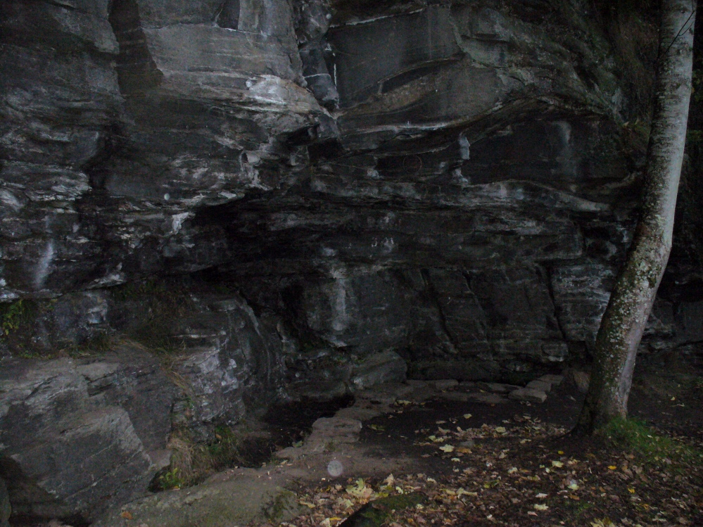
Not far from the curious Weem Wood carvings, hidden beneath one section of the long high crags in remains of the ancient forest, is this trickle of fresh water which collects into a small stone-lined pool. (a small round plaque which reads ‘St. David’s Well’ on the cliff-face above the waters is helpful) It’s in a truly lovely setting, with a small ‘cave’ about 50 yards west along the same footpath and a modern carved ‘cross’ in front of it.

The well was formerly known as St. Cuthbert’s Well (date: 20 March) who, so legend tells, lived nearby—probably at the christian-druid college at Dull, a mile west of here. It was he who collected the waters from the rock face into the small pool we see today.  This used to be known as St. Cuthbert’s Bath.  But several centuries after the saint’s death, the local laird, Sir David Menzies, came and restored the well and gained a reputation for spending much time living hereby, sometimes in the small cave along the edge of the cliffs.  It was to him that the New Statistical Account wrongly dedicated the waters to in the 19th century—but the title has stuck!

Described in several old local history works, the site was included in the giant folklore tome on Scottish waters by MacKinlay (1893), who wrote the following:

“In the wood clothing the steep hill of Weem, in Perthshire, is St. David’s Well, said to be named after a former laird who turned hermit.  The spring has a considerable local fame, and many have been the wishes silently breathed over its water.  Part of an ancient stone cross lies at its margin, and on it the visitor kneels while framing his or her wish.”

Nothing of this ‘cross’ can now be seen, but it is said that its remnants are housed at Weem church in the village below.  Also in the 19th century, occasional christian gatherings were held here and as many as fifty people came “for religious services.” Thomas Hunter (1886) reported that “a collection of human bones” were found near the well in front of the crags. There is also what looks like a newly cut large cup-marking with two carved lines reaching out from it, heading towards the well, on a small ledge of stone close to the pool.

Folklore

Folklore tells that once, long ago, dragons lived in these old woods—overcome no doubt by the incoming christians who stole and denigrated the olde peasant ways of our ancestors.  In bygone times, locals used the waters here for their health-giving properties.  As Ruth and Frank Morris (1982) told,

“it was an ancient wishing well which was still visited in 1954, when such objects as pins and buttons and an occasional penny was thrown in.”

References:

  1. Ferguson, Malcolm, Rambles in Breadalbane, Thomas Murray: Glasgow 1891.
  2. Hunter, Thomas, Illustrated Guide to Perthshire, Robertson & Hunter: Perth 1886.
  3. MacKinlay, James M., Folklore of Scottish Lochs and Springs, William Hodge: Glasgow 1893.
  4. Morris, Ruth & Frank, Scottish Healing Wells, Alethea: Sandy 1982.

© Paul Bennett, The Northern Antiquarian


Spink Well, Bradford, West Yorkshire

Healing Well:  OS Grid Reference – SE 1653 3410

Getting Here

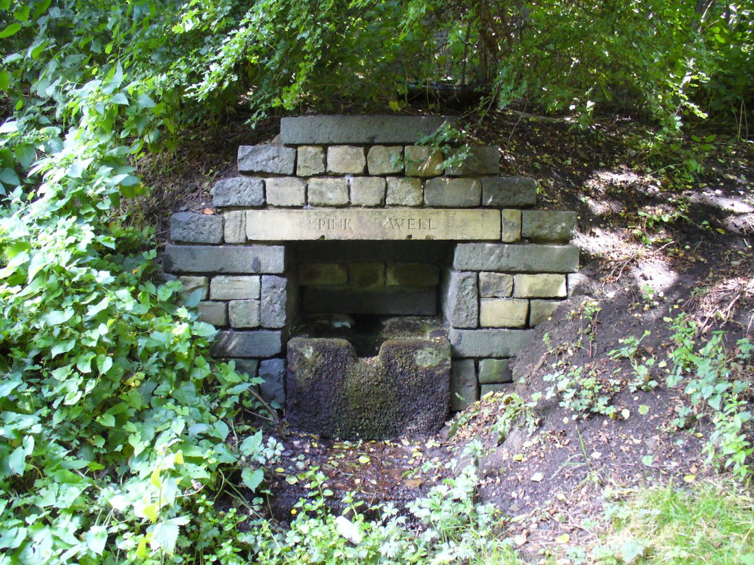
The Spink Well, Bradford

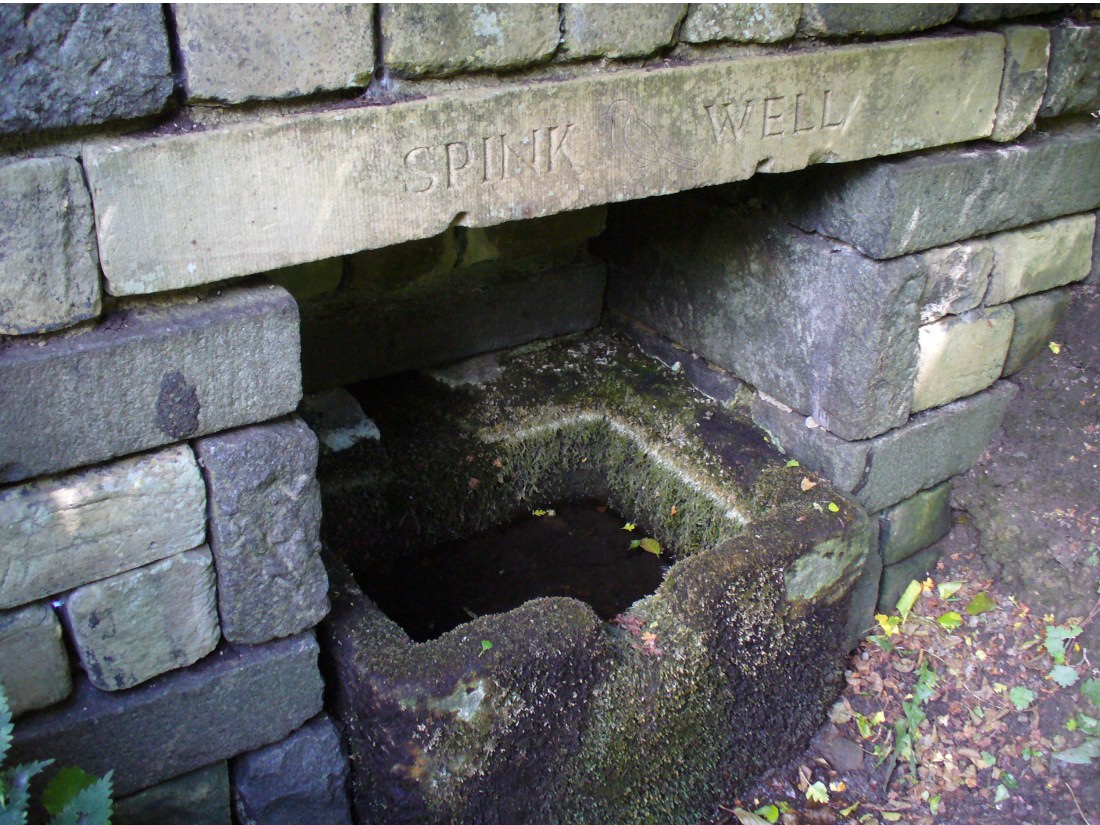
From Bradford city centre go up Bolton Road (crossing the big A650 dual carriageway) until, a couple of hundred yards further you meet with, at an angle, Wapping Road on the right. Where these roads meet, note a small footpath going down into the trees on the Bolton Road side. Go down here till it bends to the right at the bottom. Walk along here for less than 100 yards, keeping your eyes peeled for the small stone-lined well above the path on your right.

Archaeology & History

The Spink Well was highlighted on the 1832 boundary commission report map of Bradford; then listed in the 1850 Tithe Awards; and of course featured on the earliest Ordnance Survey map a few years later.  In 1788, below the spring itself, a Spinkwell House was built which advertised health-giving cold baths and used the waters from this well to supply people with its health-giving virtues.  This Spink Well house also had a most curious history: the gravestones of those who died in the plague of 1645 were built into the walls of the well-house here! They were uncovered during the construction of Peel Park in the 19th century, a short distance away.  Then, for a long time thereafter, the waters and the stonework surrounding this well fell into disrepair—especially when the Industrialists appeared in what was, at the time, the world’s centre for such people.

The muddy waters of the well

The name ‘Spink Well’ is the most common of all the wells named after animals in West Yorkshire (and elsewhere in Yorkshire for that matter), with ten examples of them that I’ve come across locally.  The word ‘spink’ is the local dialect word for the finch.  A veritable profusion of them scatter our region, although not much folklore is known about this little bird.  The various types (gold finch, bull finch, etc) are all said to be birds of good fortune and one of its calls is said to tell of the coming of rain.

This particular Spink Well is very close to Bradford city centre and although now only a trickle of muddy water fills the trough into which it once ran freely, at least it’s still here!  Many other sites close to the city centre were destroyed without care by the ignorant Industrialists.  The well was evidently a place of some importance in ages past, as the 1852 OS-map shows eight spots hereby named after the place!  The local historian Roger Storrs (1888) wrote that—along with the Holy Well Ash Well a short distance from here—these sites “were long ago famous wells.”  No specific medicinal properties have been remembered for this place.

Folklore

Folklore tells that a huge boar—which gave its name to the Boar Well just 100 yards along the same path from here—also drank the waters here at Spink Well.

References:

  1. Storrs, Roger, ‘Legends and Traditions of Wells,’ in J.H. Turner’s Yorkshire Folklore Journal, 1888.
  2. Whelan, Edna & Taylor, Ian, Yorkshire Holy Wells and Sacred Springs, Northern Lights: Dunnington 1989.

© Paul Bennett, The Northern Antiquarian