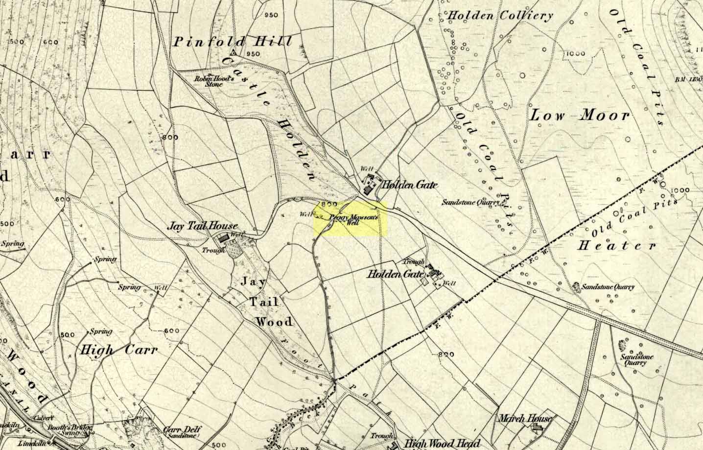
Healing Well: OS Grid Reference – SE 07782 44863

From the B6265 valley road between Bingley and Keighley, just near Riddlesden Hall, take the road up and over the canal into Riddlesden, bearing left up past West Riddlesden Hall and up Banks Lane. As you reach the T-junction at the top, where you hit the Silsden Road that goes round the moors, park up.Cross the road and follow the footpath diagonally across the bottom of the field, then when you hit the track, follow it up through the closed gates into the woods. A half-mile along the track, watch out for the dark pool a few yards beneath you on your left. That’s it!
Archaeology & History
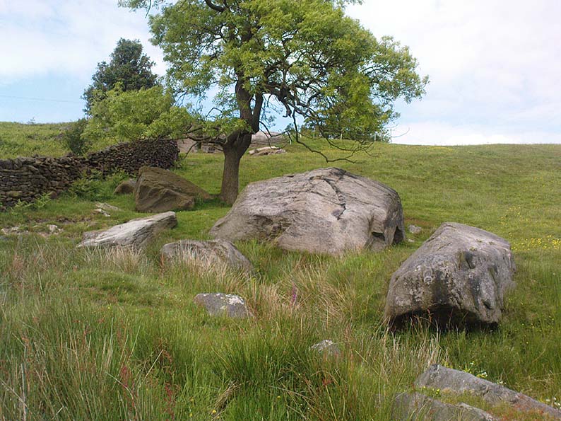
The spirit and feel of this pool is a curious one: still, calming, but with a slight sense of unease at times. It felt like this before the large forestry plantation was planted around it — so it’s good to know it’s kept its spirit intact. I’m not quite sure how long it will last though… The small spring of water from just above the edge of the pool which in part feeds it, tastes good and refreshing after a good downpour, but sometimes in recent years the waters have slowed somewhat compared to earlier decades — an unhealthy state of affairs that’s happening all over the world.
A favourite haunt for very colourful dragonflies, deer, pheasant and other animals, very little has been written about this site. Said by place-name authorities to get its name from an old oak that once stood by its side, the name must be pretty old as no remains of such a tree has been mentioned by any antiquarians in the last 200 years. But the first element in the place-name “riv-ock” is an intriguing puzzle. Does it mean simply a split oak? Or was it a more regal in nature, and derive from the old Gaelic Righ, (proncounced ‘ree’) meaning a King’s Oak? More probably the name relates to the “well by the twisted oak,” from the dialect word, rive, or ‘twisted’. However, when we begin exploring dialect variations on this word, a whole host of possible meanings emerge!
Ancient people who lived on these moors obviously used this well — and no doubt had old tales of its medicinal virtues, but sadly these are lost. All we have to remind us that our ancestors came here are the numerous cup-and-ring stones found at Rivock Edge itself, a short distance southeast of here…
References:
- Whelan, Edna & Taylor, Ian, Yorkshire Holy Wells and Sacred Springs, Northern Lights: Dunnington 1989.
© Paul Bennett, The Northern Antiquarian