Cup-and-Ring Stones (lost): OS Grid Reference – NO 345 392
Also Known as:
- Canmore ID 31908
- Greenfield Knowe
- Greenford Knowe
- Sidlaw Hospital
- Spittal Stones
Archaeology & History
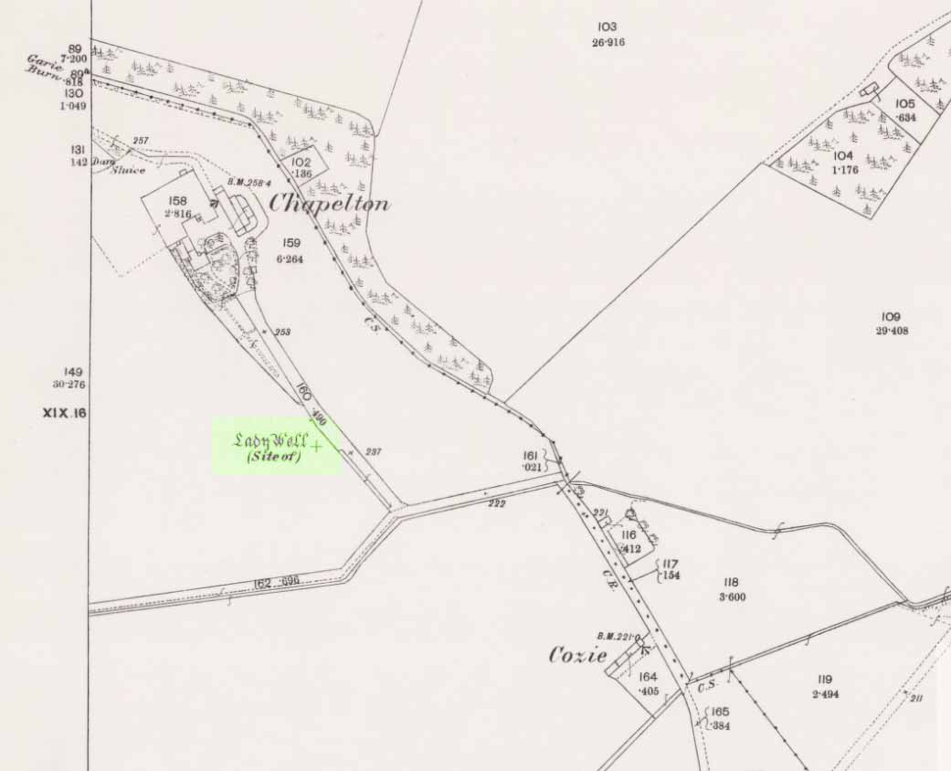
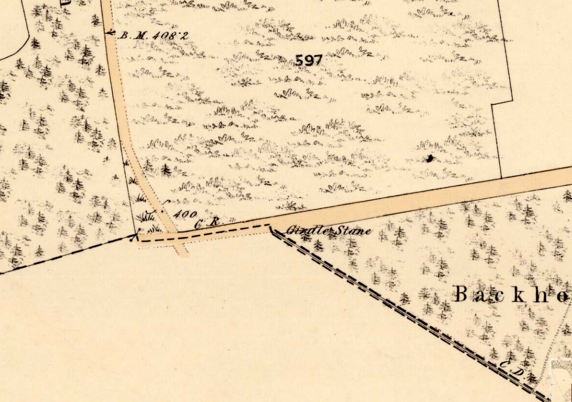
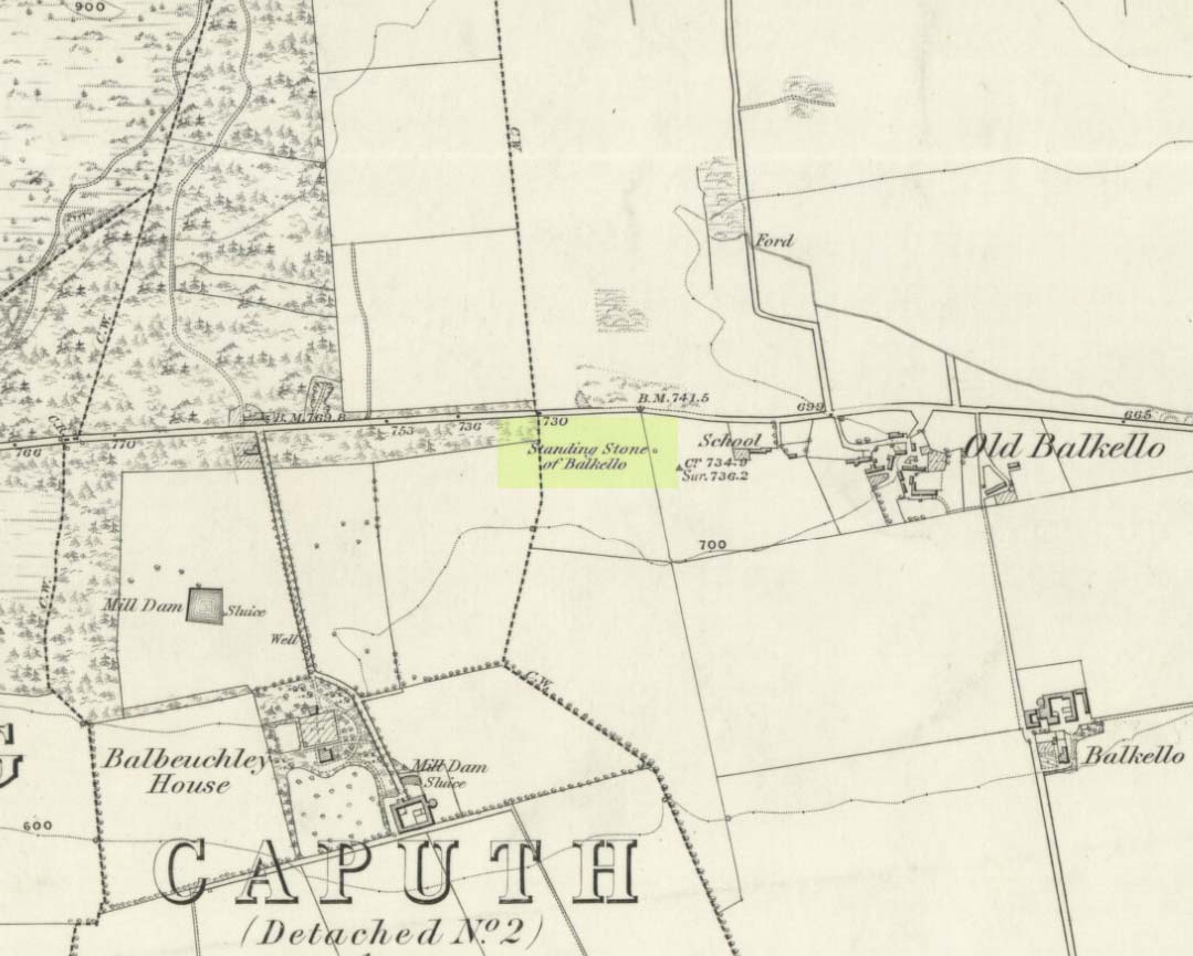
1843 map showing the ‘Stone’
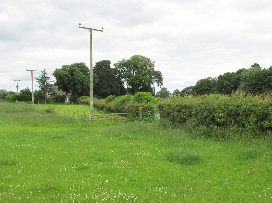
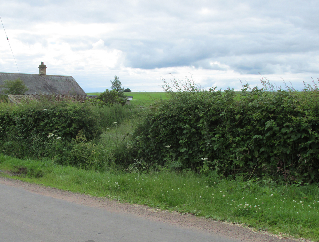
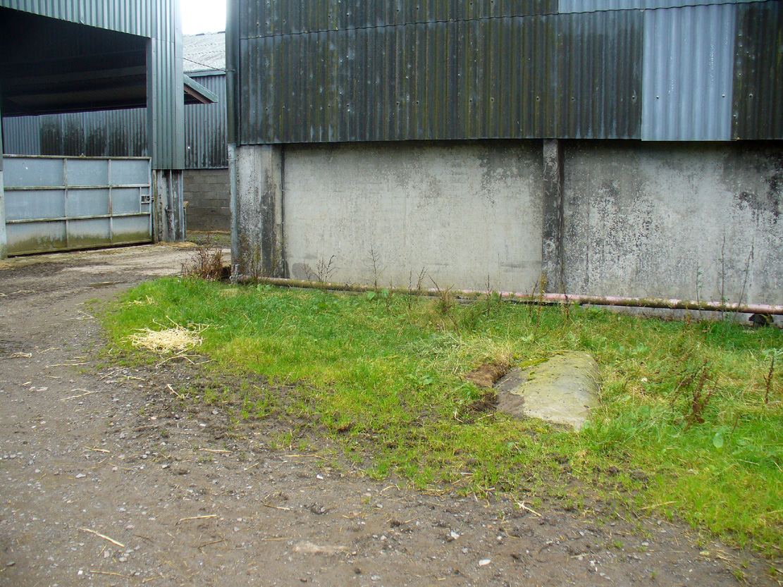
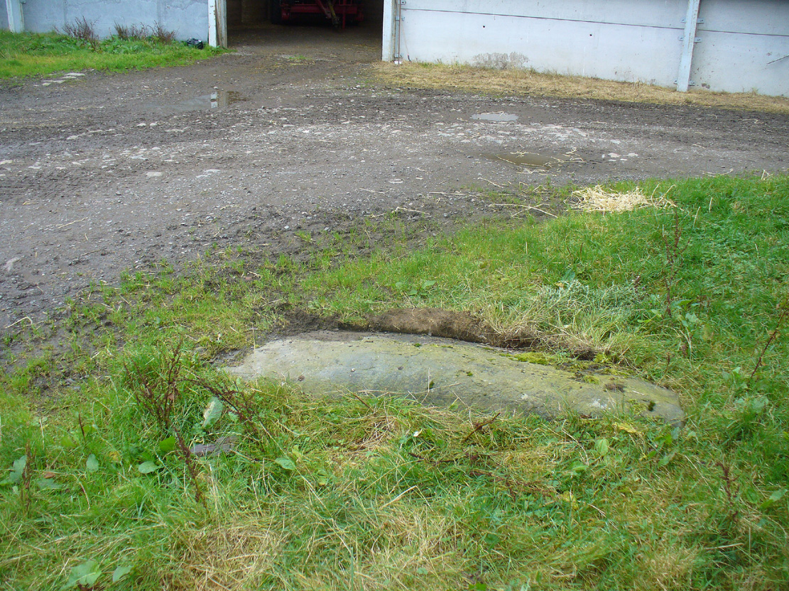
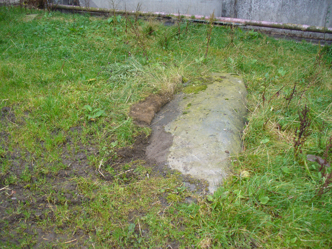
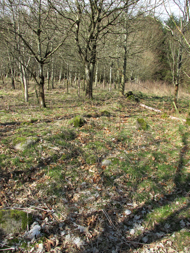
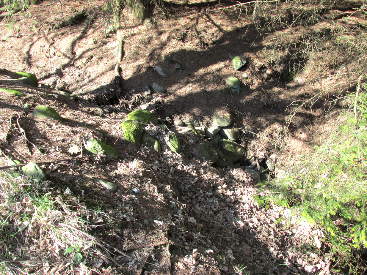
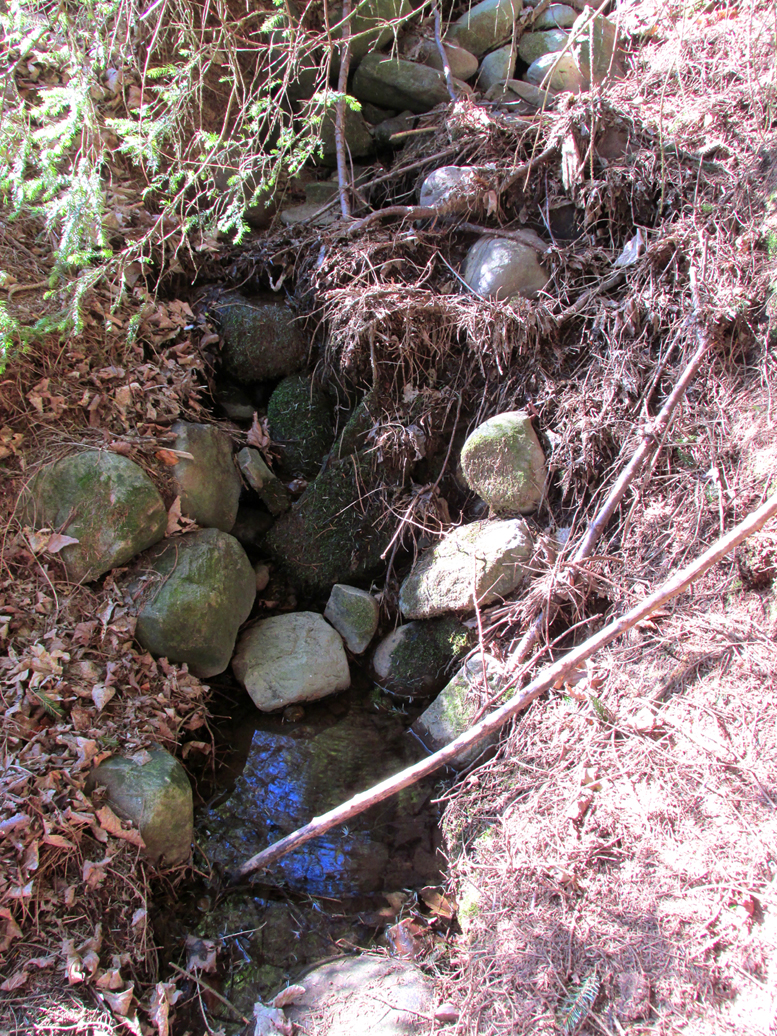
We have no precise location for this carving, nor several of its petroglyphic relatives who lived within this arena for countless centuries until (you guessed it!) the advance of the Industrialists brought their profane ways to the region, with the usual disregard for local people and their unwritten traditions. Which is a great pity, for there were obviously some old stories and important archaeology hereby. Aubrey Burl (1988) for one, thought this cup-and-ring carving may have played its part in being one of the stones in a larger “four-poster” stone circle, although local history accounts tell that it was part of an impressive prehistoric tomb.
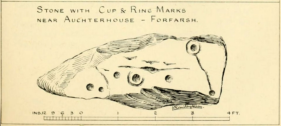
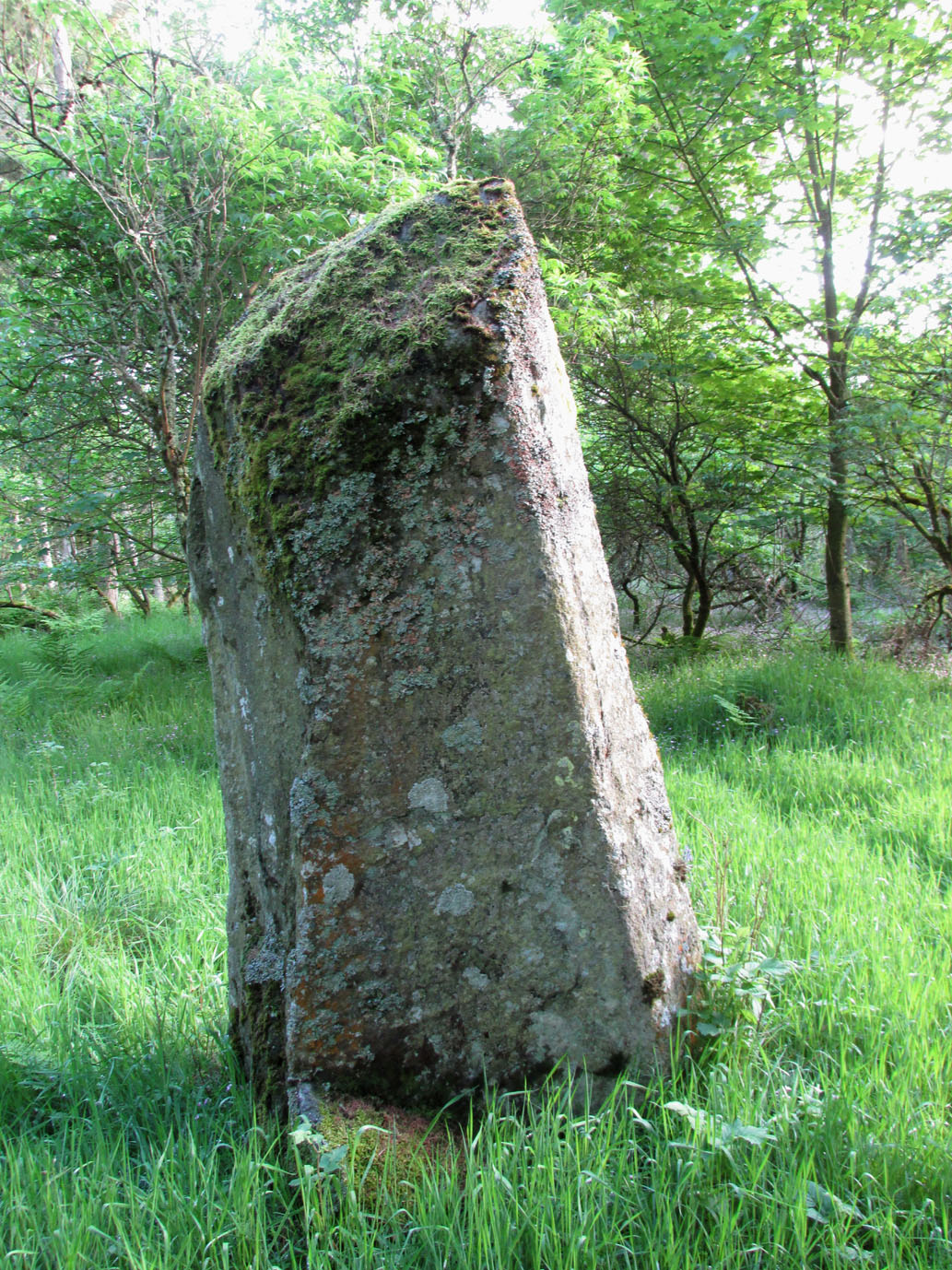
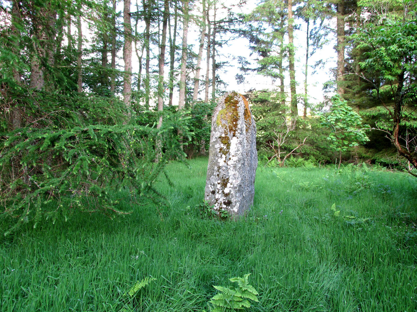
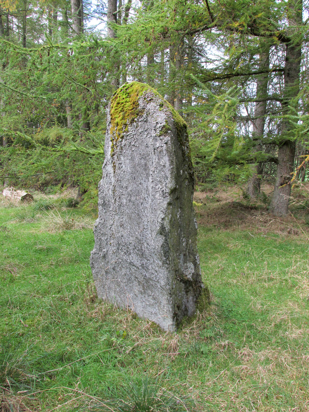
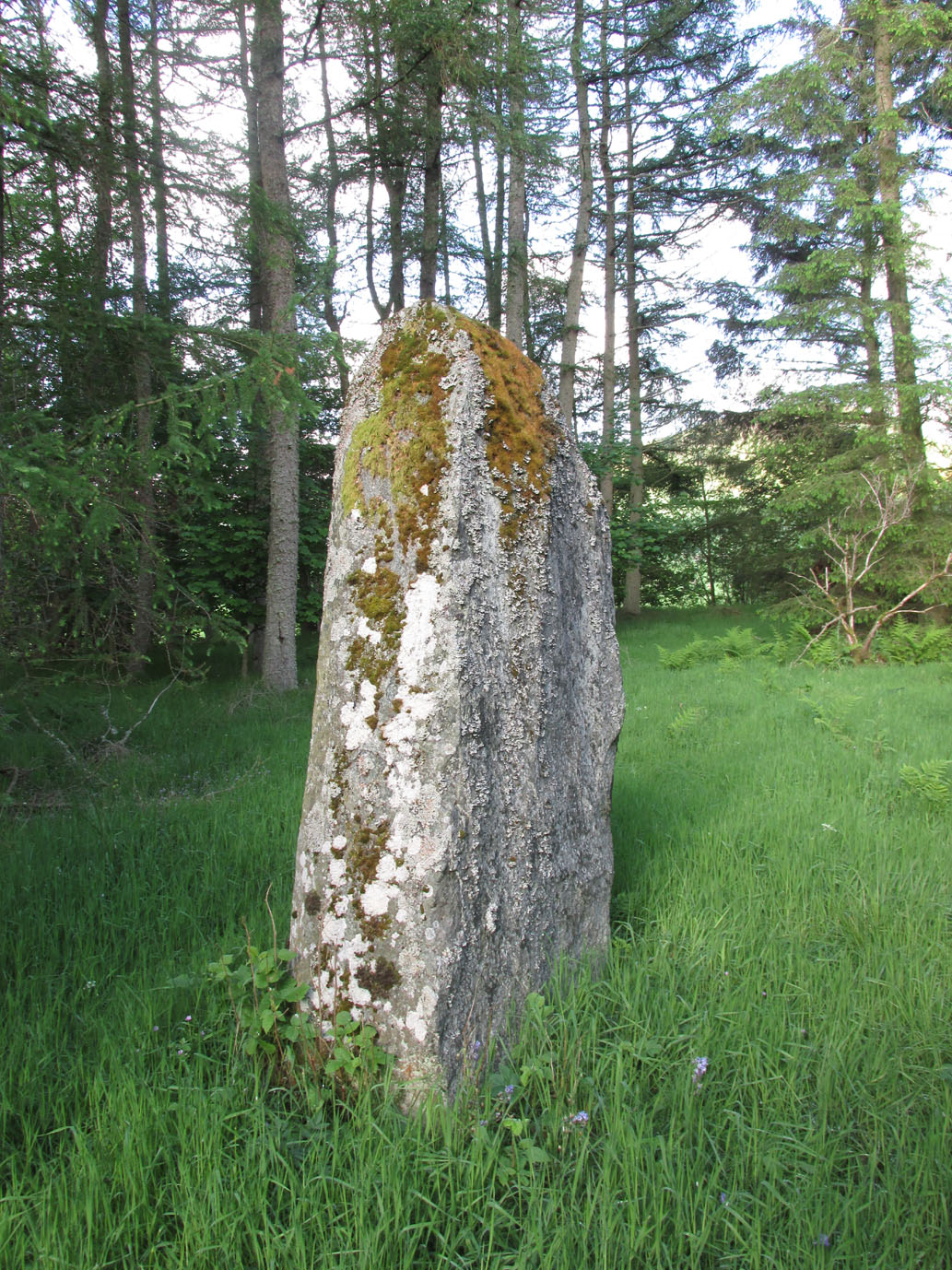
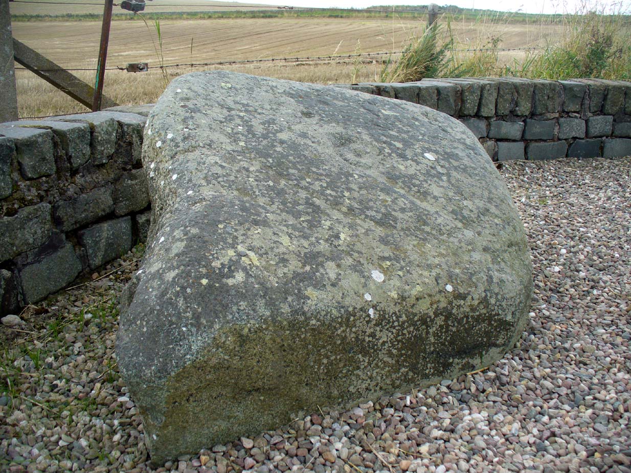
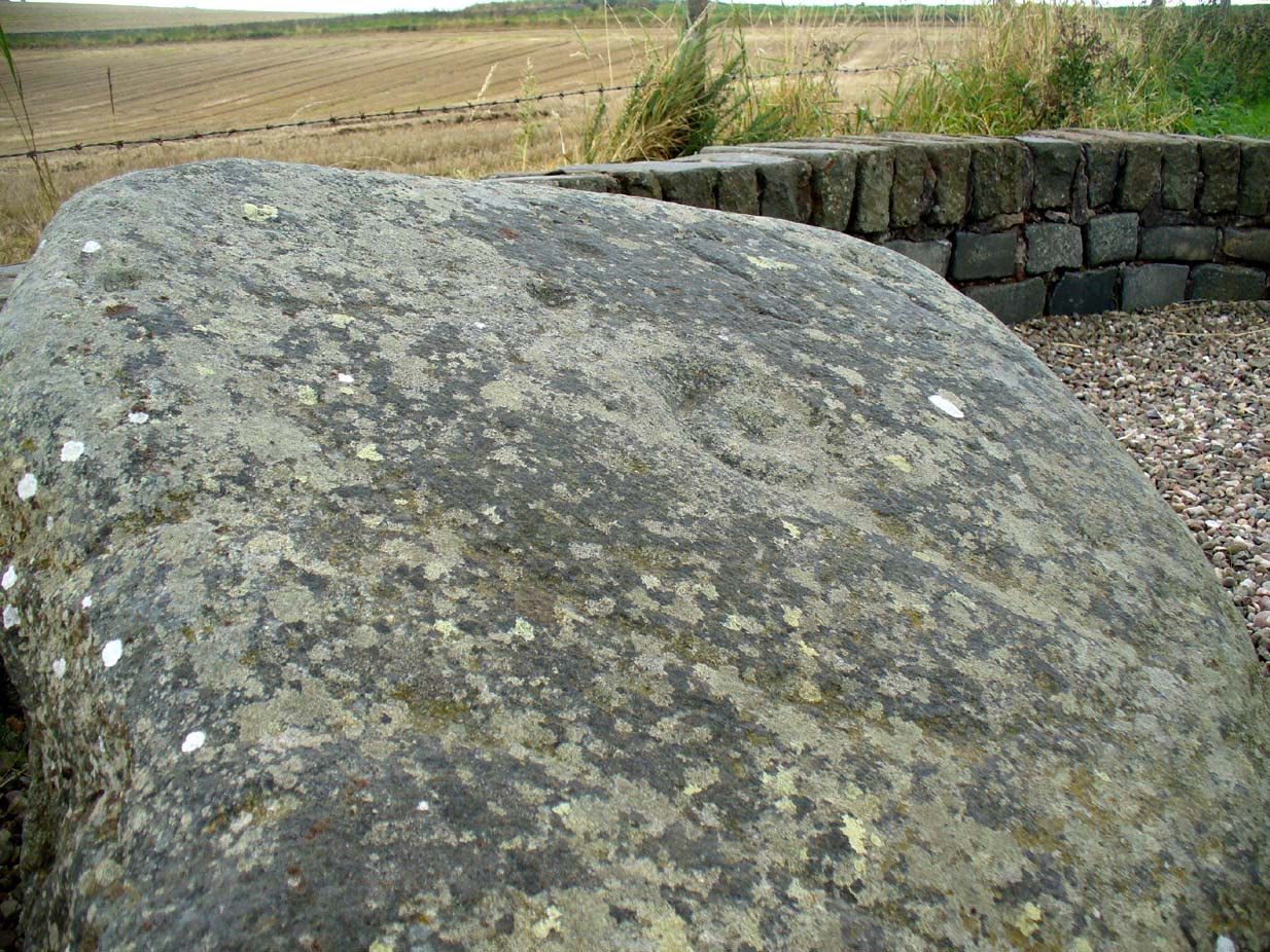
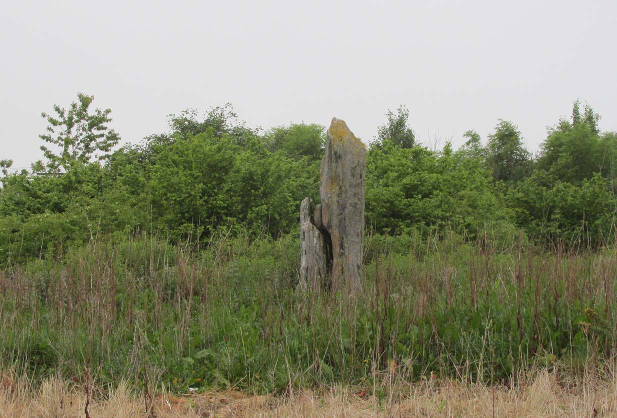
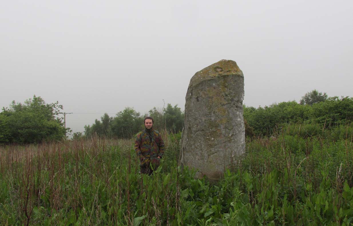
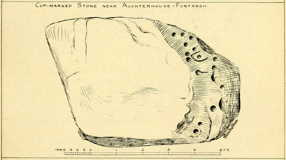
One of the Witches Stones
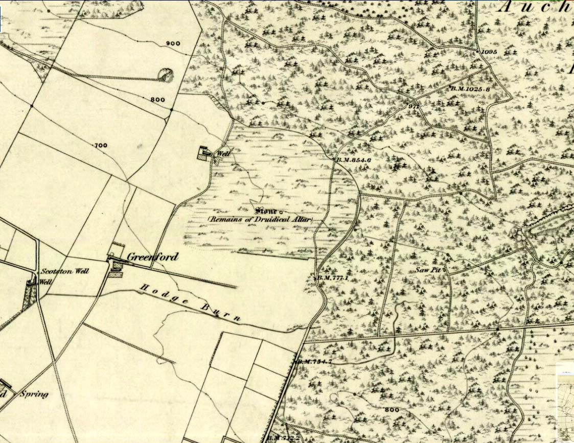
The Witches’ Stone we see illustrated here was one of at least two carvings in a cluster of stones. The great J. Romilly Allen (1881) wrote about the it, although it seems he never visited the site himself. Instead, his description came from that of a colleague, a Mr W. McNicoll, who told him that at the position marked on the early OS-map as a single “Stone” that was “Remains of a Druidical Altar” there were in fact
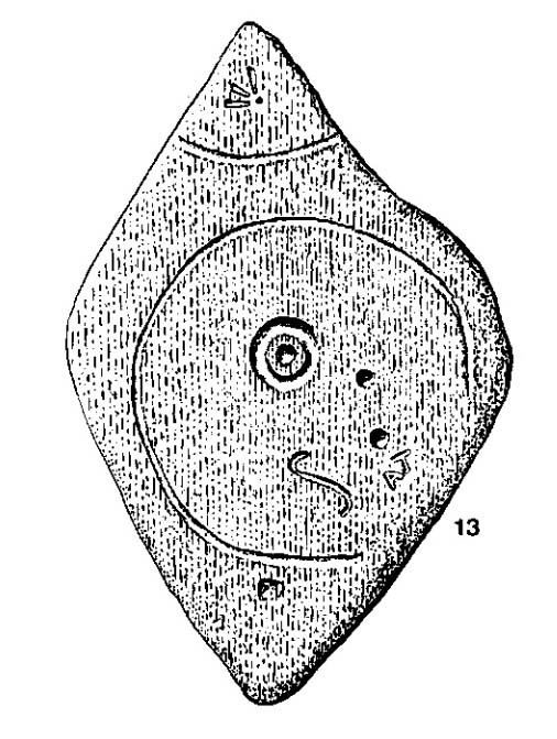
“two in number: one, an upright pointed stone, 5ft by 2ft by 3ft 6in high; ans the other lying 3ft 6in to the southwest, 7ft 6in by 5ft by 2ft 6in thick. The latter has fifteen cups, varying from 2 to 3in in diameter; one with a single ring carved on the sloping face at the south end of the stone. It lies horizontally and has two hollows, worn at the ends where the cups are, by the toes of persons climbing onto the top. The ground under this stone has been partly removed and it appears to rest on two others; but the whole appears to be natural and not a cromlech or rocking stone.”
Folklore
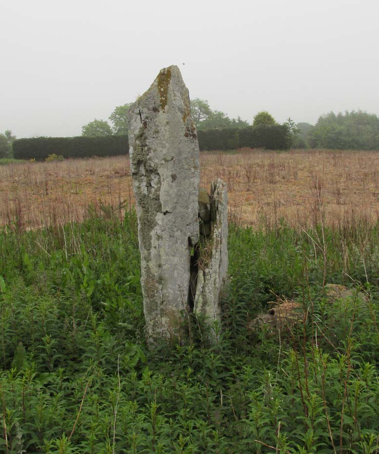
One of the Witches Stones
Reference was made to this “Witches Stone” in the 1860 Object Name Book of the region, where it was said to have been part of a larger group, “considered to have been used by the Druids as a place of worship.” This catch-all phrase of druidic relevance should be translated as “local traditional importance” where animistic rites of some sort would have occurred. Certainly we find the usual reverence or fear in the local tale told by Mr Hutcheson (1905) which he thankfully recorded following his visit to the site:
“Here…occupying a small knoll known locally as Greenfield Knowe, towards the western end of the plateau…two upright standing stones of boulder character formed a conspicuous feature. They were, if tradition be accepted, the survivors of a larger group. The same tradition records that the farmer of Greenfield Farm, requiring stones for the erection of dykes, removed some of the standing stones from Greenfield Knowe. He, however, speedily found unexpected difficulty in carrying out his intentions. The dykers whom he had employed absolutely refused to use the stones, alleging they would thereby bring misfortune upon themselves and families, , and threatened, rather than risk such calamities, to throw up the job.
“While in this quandry the farmer, it is said, had a vision: a ghostly figure appeared to him, and in a hollow voice warned him against interference with he stones on Greenfield Knowe, and concluded by the adjuration, “Gang ower the howe t’ anither knowe.” Needless to say, the farmer lost no time in obeying his ghostly visitor. Next morning he carted back the stones he had removed and sought material for his dykes elsewhere.”
This is probably the same tale, slightly reformed, which the local historian W.M. Inglis (1888) described, when he told that,
“About the beginning of the present century, when a worthy old parishioner was having some repairs carried out upon his house, he removed a few of the large stones with the intention of having them built into the walls. Throughout the night, however, an eerie feeling came over him, his conscience was on fire, he could get no rest. Accordingly he got out of bed, yoked his horse into the cart, and like a sensible man replaced yjr sacred stones where he found them, went home, and thereafter slept the sleep of the righteous.”
References:
- Allen, J. Romilly, “Notice of Prehistoric Remains near Tealing, in Forfarshire” in Journal of British Archaeological Association, volume 37, 1881.
- Burl, Aubrey, Four Posters: Bronze Age Stone Circles of Western Europe, BAR 195: Oxford 1988.
- Hutcheson, Alexander, “Notice of the Discovery of Stone Coffins at Auchterhouse,” in Proceedings of the Society of Antiquaries, Scotland, volume 39, 1905.
- Inglis, W. Mason, Annals of an Angus Parish, John Leng: Dundee 1888.
© Paul Bennett, The Northern Antiquarian