Holy Well: OS Grid Reference – SK 572 840
Archaeology & History
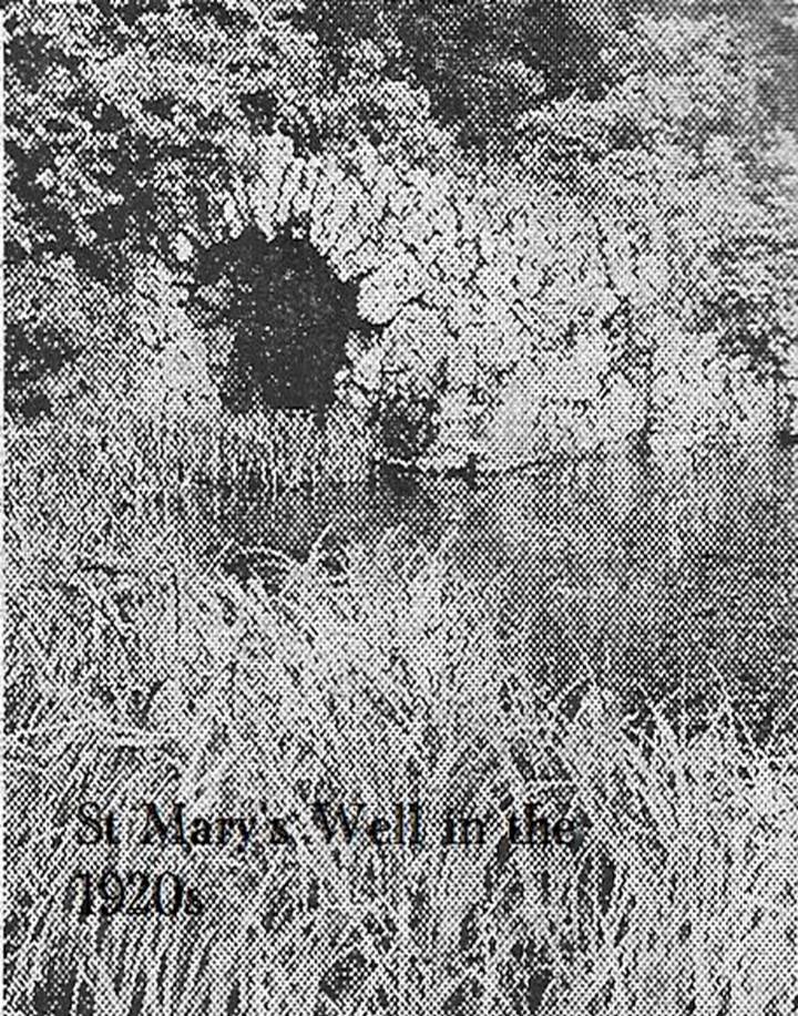
Old photo of St Mary’s Well
First mentioned in Pipe Rolls and referred to by the founder of Wallingwells Benedictine Priory (founded around 1150 CE) as ‘juxta fonts et rivum fontium’, the site Wallingwell or originally Waldon-by-the-Wells, may be significant. The name refers to ‘bubbling wells’, but whether these wells were dedicated appears to be unknown, although it does seem likely. Indeed, an anonymous article from the Worksop Guardian dated 1929 on the Wallingwell Estate, shows the well arising under a rough stone work arch beside the site of a lake. Close by, appears to be a grotto of a similar construction. The article states that the grotto was built 250 years (from 1929 this suggests a date of 1679 which appears a little too early for this folly, a date in the 18th century being more likely). This was done by Thomas White using stone from petrified springs in Derbyshire. No reference is made of the well, but one assumes that it was built at the same time, but whether White was constructing a folly around an existing traditional site again is unknown.
Baker (2000) refers to the castle folly but fails to reference these sites suggesting that it had vanished. However, grotto and well still exist in the overgrown and forlorn garden to the back of the house. The grotto is well-preserved, although signs of ruination are evident and the urn within has gone.
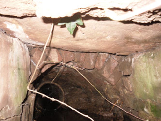
The internal brickwork
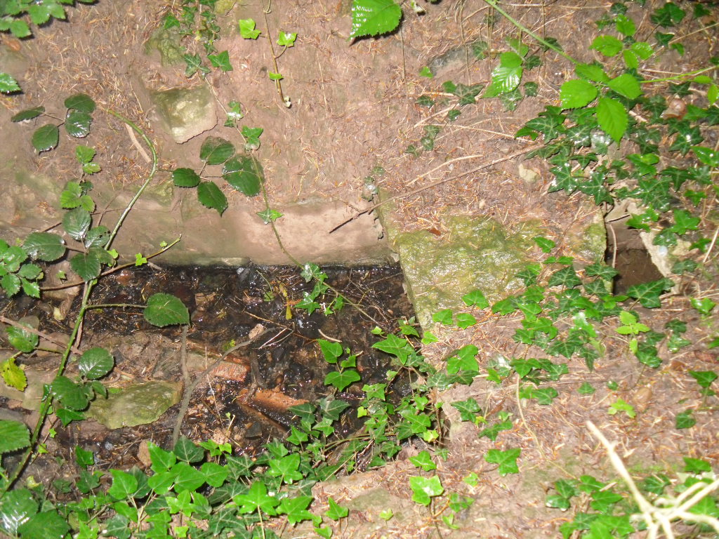
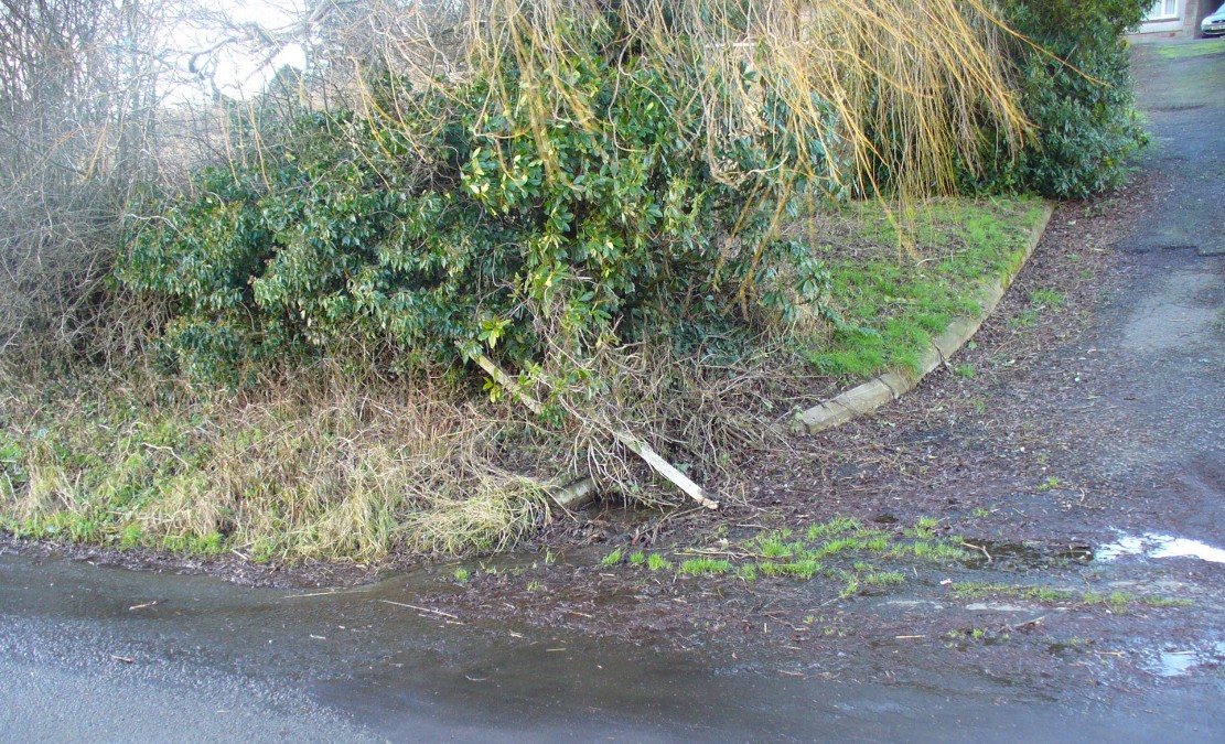
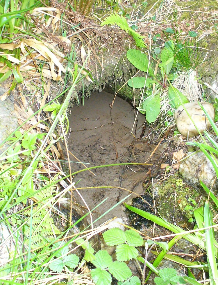
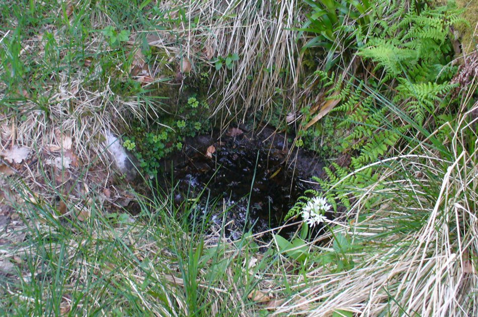
The overgrown well
St. Mary’s Well is the most ruined. The archway appears to have fallen or been knocked down but the channel or basin the spring flows into still exists. Observation underneath a flattened stone covering the channel show that the spring flows from a pipe further up and under a series of neat brick arches. It is clear that the well structure was never accessible as it abutts onto the Lake, but was designed to be seen from the other side of the Lake. This view now is difficult due to the considerable plant growth obscuring the sites. It is good to see that the well still exists and hopefully the garden could be restored.
Extracted from R. B. Parish (2009) Holy Wells and Healing Springs of Nottinghamshire
Links:
© R.B. Parish, The Northern Antiquarian