Cup-Marked Stone: OS Grid Reference – NN 65796 38799
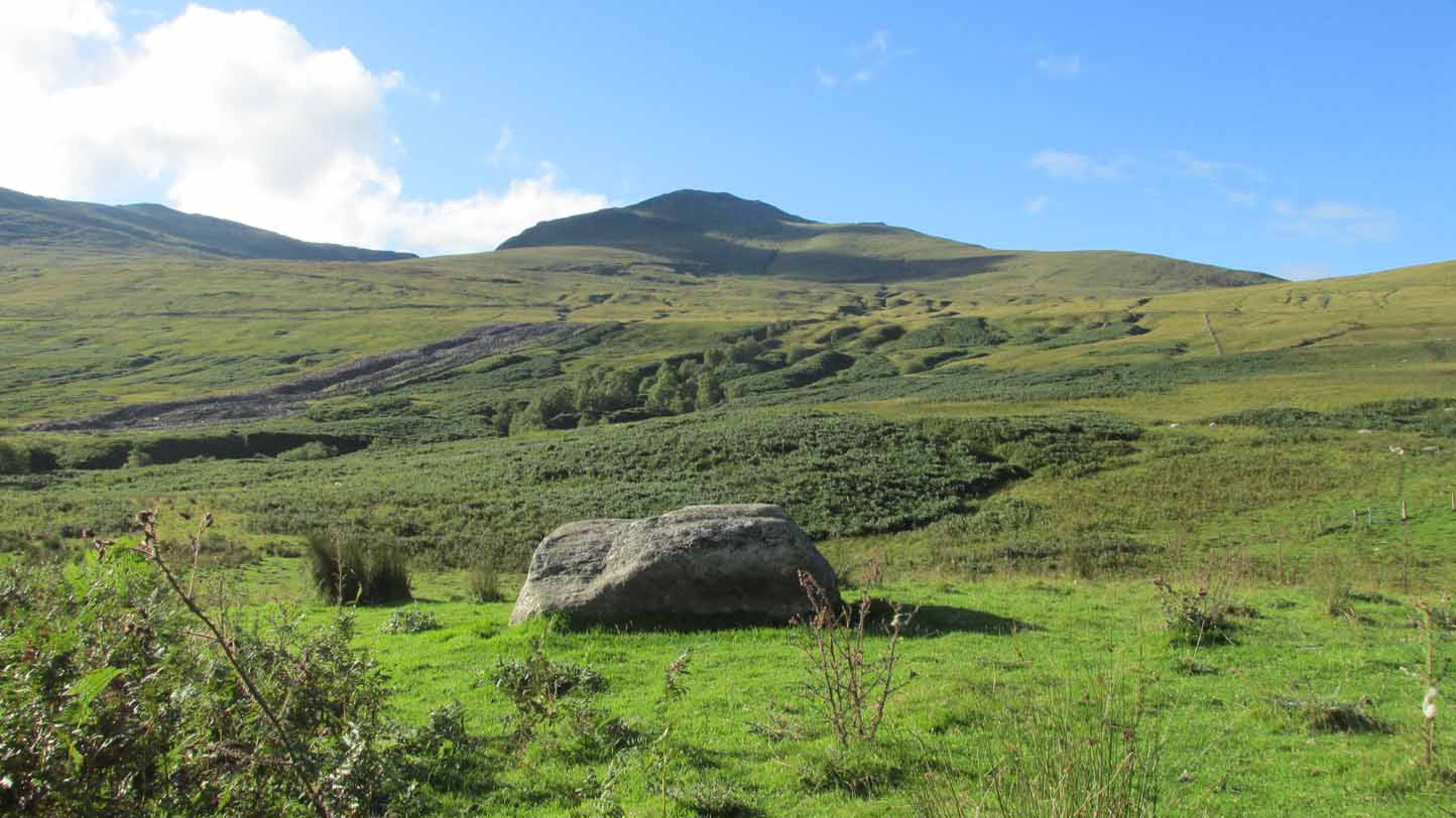
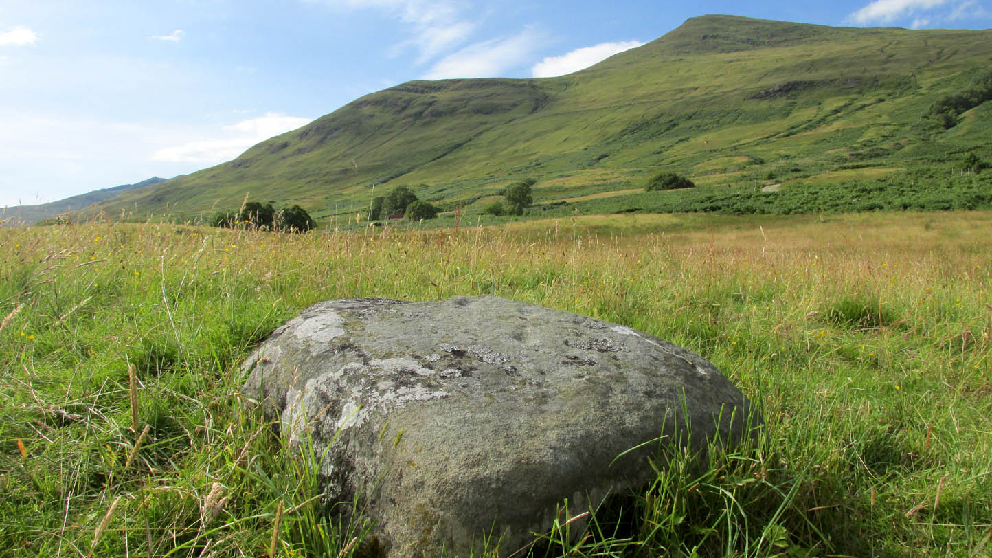
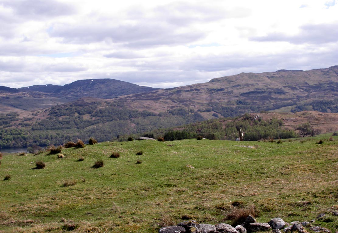
From Killin, take the A827 road to Kenmore. 6 miles along, on your right, is the track down to the Big Shed at Tombreck. Keep on the A827 for exactly ⅓-mile (0.53km), and opposite the driveway to Craggantoul is a small parking spot. A few yards on the road, over the burn, go thru the gate on your left. Follow the straight line of walling up for 7-800 yards and then walk to your right, into the field. About 300 yards into the overgrown meadowland you’ll see a rounded knoll with a very notable boulder on its crown. Y’ can’t really miss it!
Archaeology & History
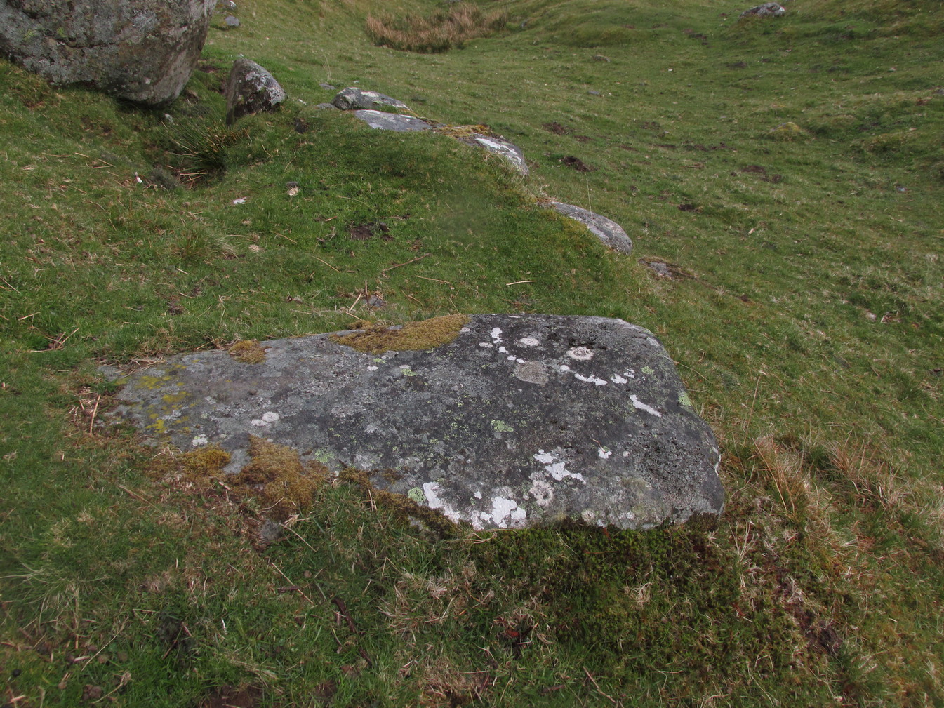
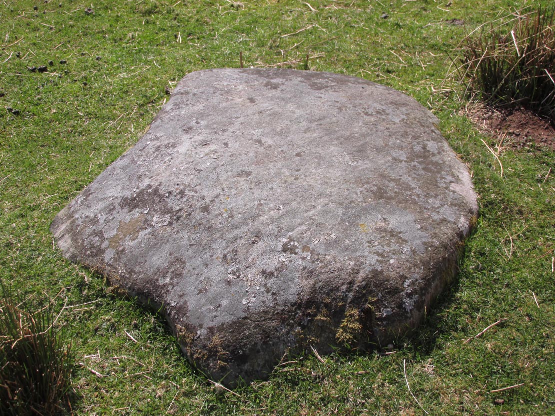
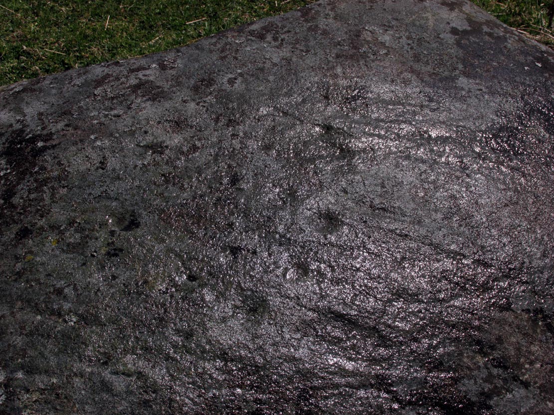
It’s the setting of this carving that captures you way more than the carving itself—which is probably somewhat of a disappointment to most folk, unless you’re a petroglyph fanatic like myself.
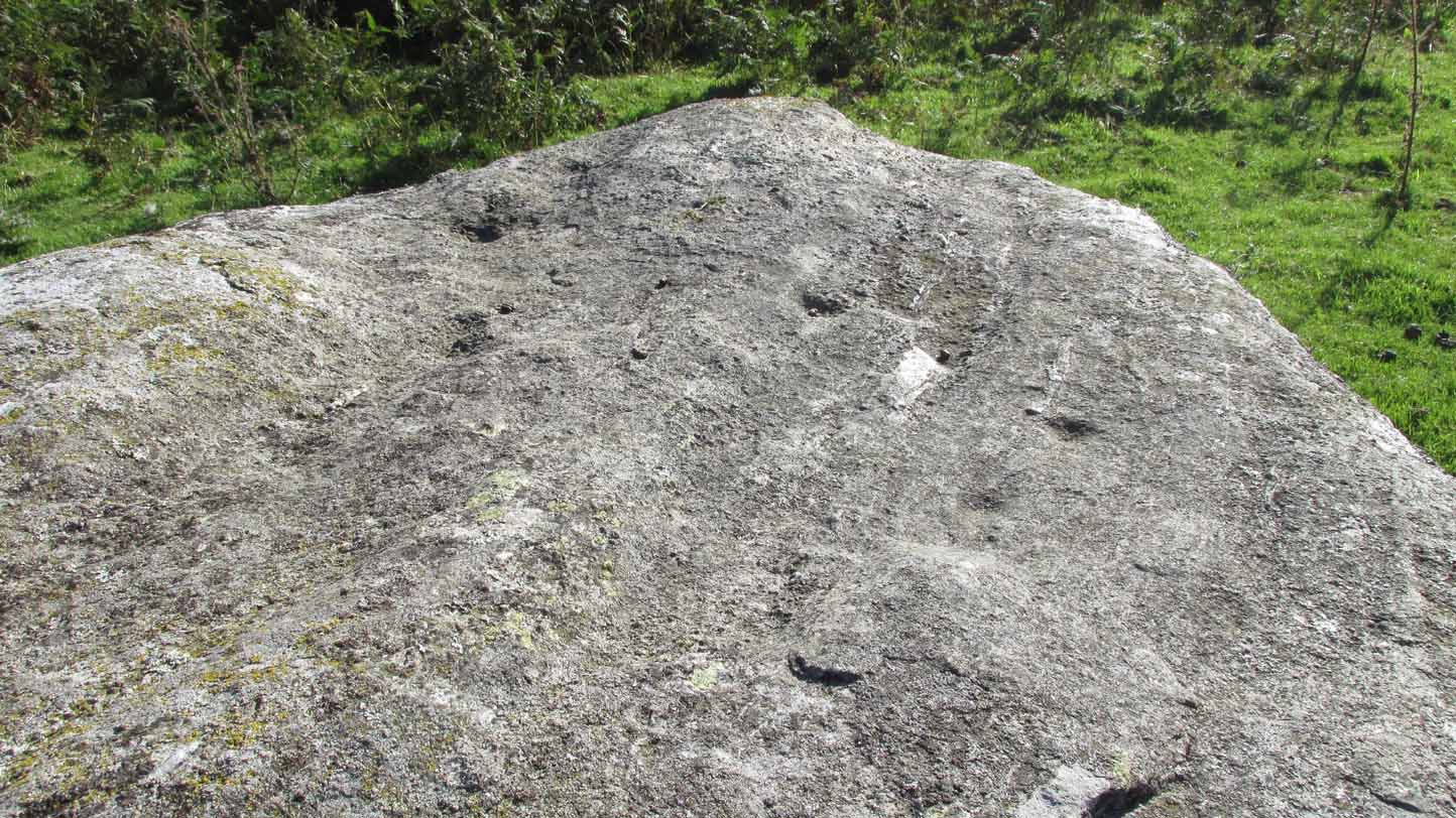
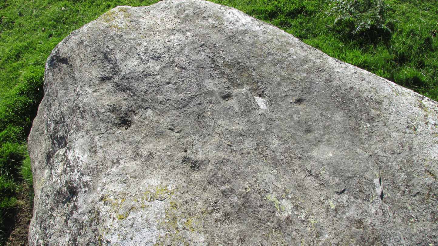
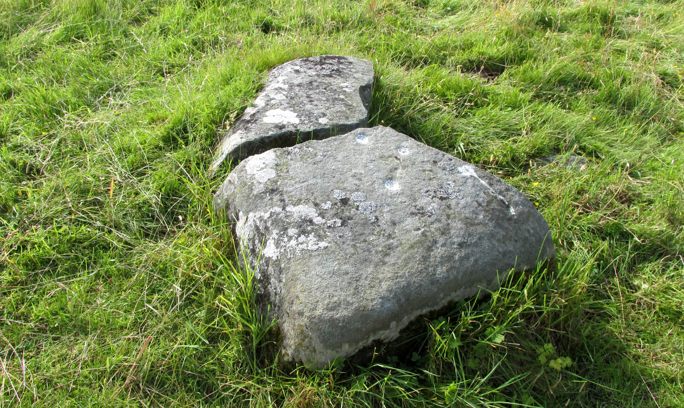
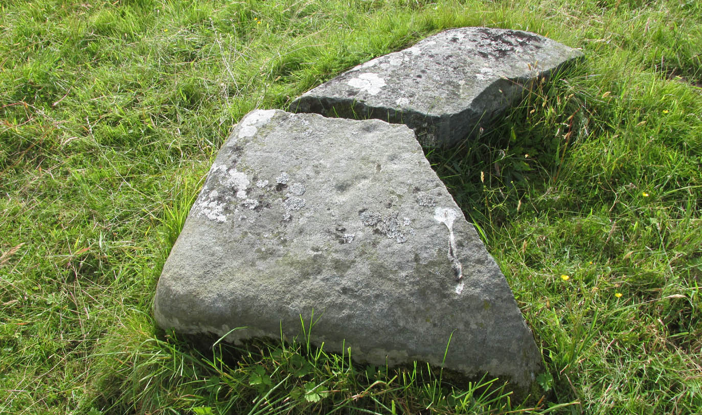
Found relatively close to other carvings, this reasonably large boulder has, upon its roughly smooth top, just five simple cup-marks with varying degrees of weathering, from the very noticeable to the somewhat faint—hinting at the unlikely possibility that it might have been carved at different times. A possible sixth cup can be seen in certain daylight conditions on the southwest section of the stone. That’s it!
© Paul Bennett, The Northern Antiquarian