Cup-and-Ring Stone: OS Grid Reference – NT 49165 35897
Archaeology & History
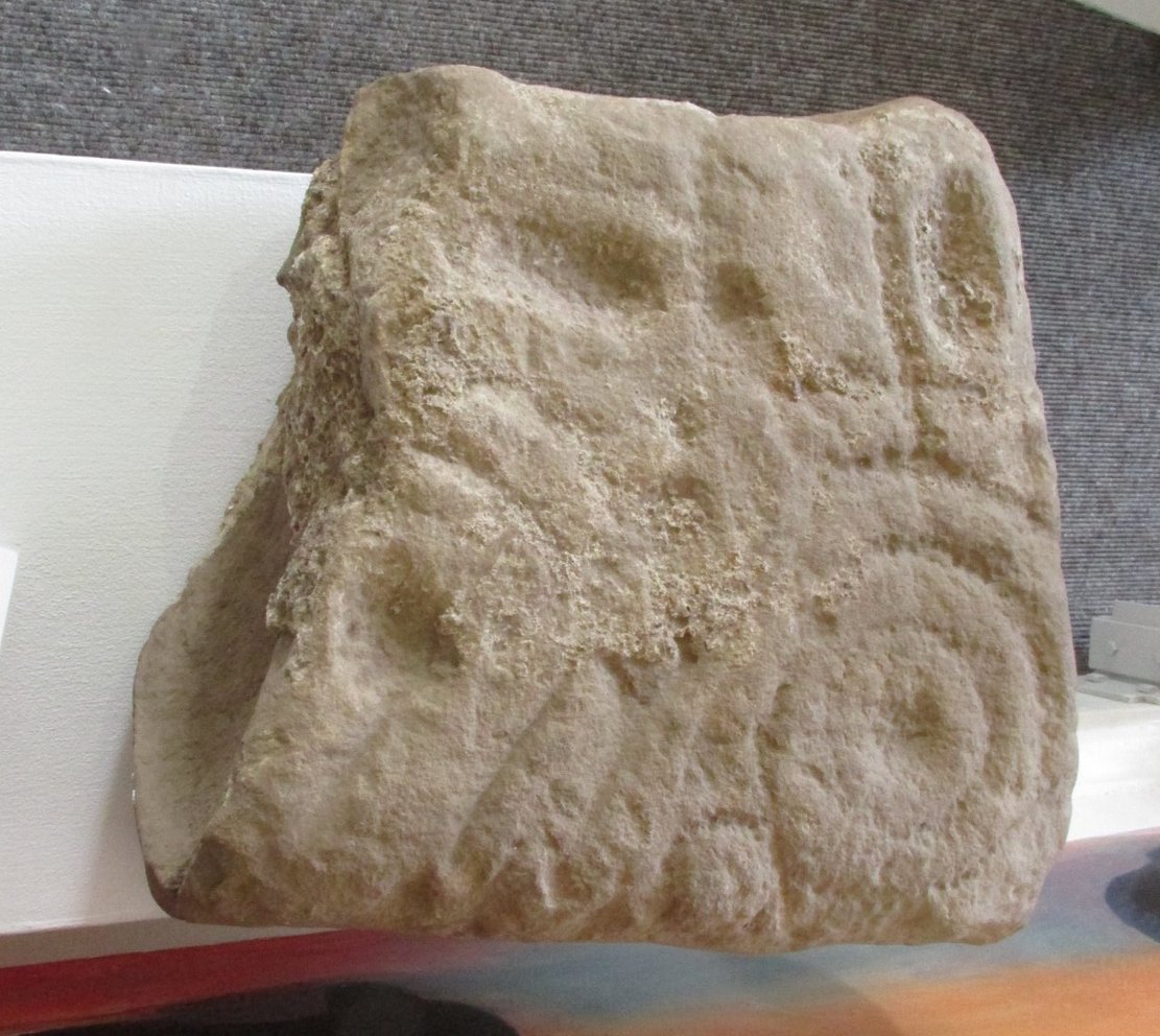
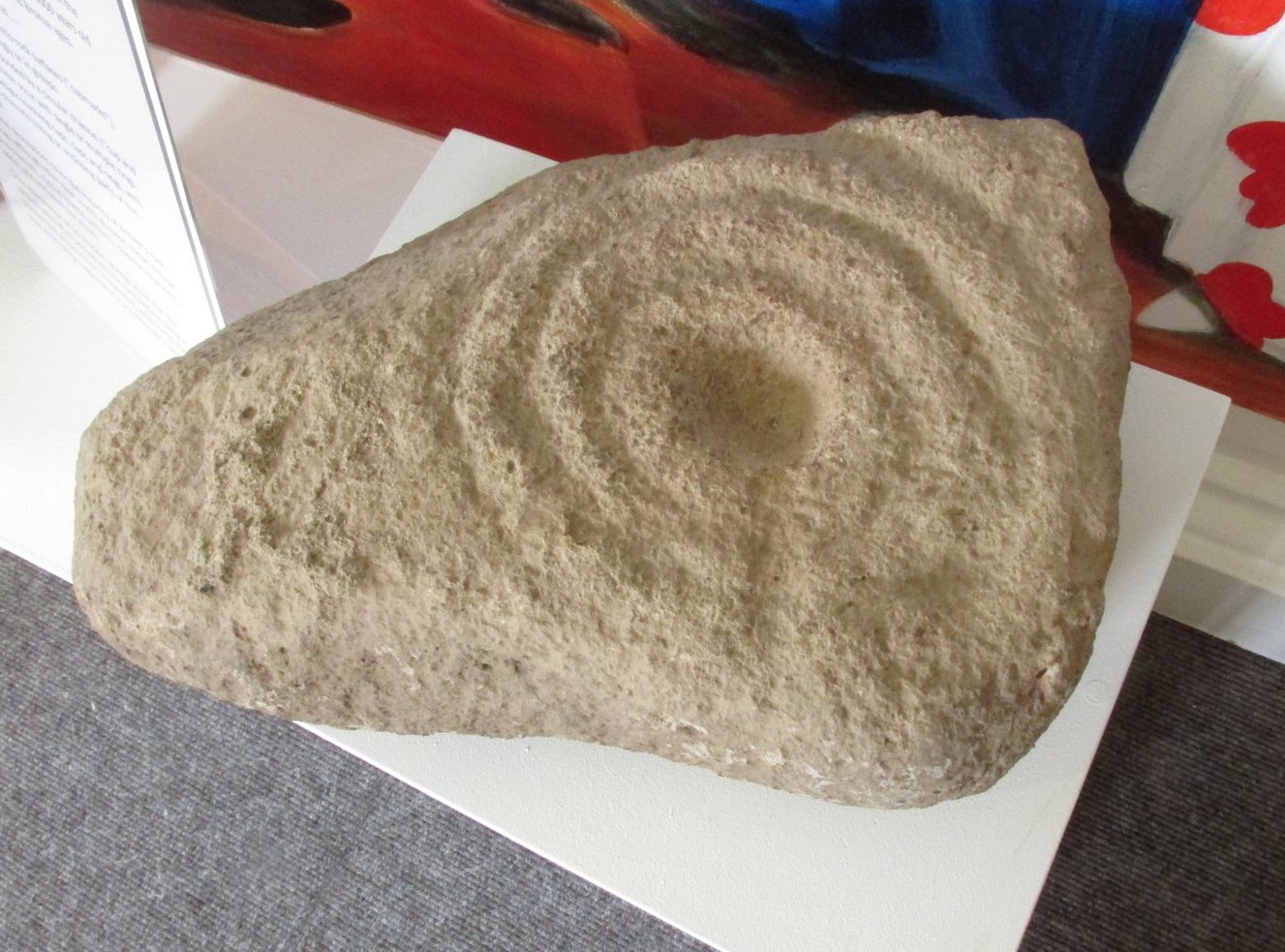
One of two petroglyphs housed in the Gala House Museum, whose background is somewhat of a mystery. When the northern antiquarian Paul Hornby visited the museum, his enquiries regarding its history and place of origin drew a blank. This small squared block of stone has obviously been broken from a larger piece, but the whereabouts of its adjoining fragments are unknown. The section that remains that we see here is somewhat more complex than it’s companion petroglyph, comprising as it does (in the photo on the right) a concentric cup-and-two-rings,with another arc above it that has a carved line running vertically into it. An elongated cup-mark sits to the side of this line. On the lower-left side we can see where a fragment of the stone has been broken off and here is a cup marking with a double arc above it, that may originally have been another cup-and-two rings. The curious angular lines at the bottom of the stone look like more recent scratches, perhaps from an industrial machine (tractor?) created when the stone was moved from its place of origin. If anyone knows anything about this carving, please let us know.
Acknowledgments: Big thanks to Prof Hornby for use of his photo. 
© Paul Bennett, The Northern Antiquarian