Nunwick Park, Simonburn, Northumberland

Stone Circle (destroyed):  OS Grid Reference – NY 88542 74175

Archaeology & History
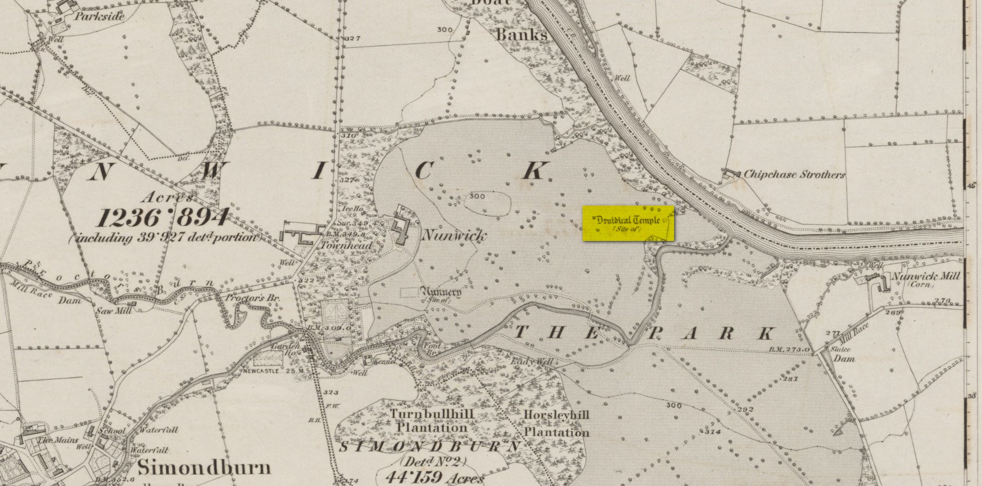
Site location on 1866 map

Highlighted, albeit in the past tense, as a “Druidical Temple” on the first Ordnance Survey map of the area in 1866, these megalithic remains were seen by earlier antiquarians, but seemingly met their demise sometime in the early 19th century.  Some halfwit land-owners no doubt wanted their little garden extended to where local folk would have traditionally met at certain times each year—so in getting rid of the stones, it would help to keep the riff-raff away. (many of these elitists still think this way)  It had certainly gone when the Northumbrian historian John Bates (1895) wrote about it, where he told simply:

“The fine circle at Nunwick, on North Tyne, described by Bishop Gibson, has long since disappeared.”

It was still standing in the 17th century, three or four thousand years after our ancestors put it there.  We know this because the remains of the stone circle were told about in Gibson’s (1695) edition of Camden’s Britannia, where mention is made of “large stones erected at several places” in Northumberland, including this place where,

“near Ninwick in the Parish of Simondburn, four such stand still erected, and a fifth lies fall’n to the ground.”

The situation hadn’t changed when John Wallis (1769) visited Nunwick.  On his trip to these megaliths he told that,

“In an adjoining field, called, Nunwick-east-field, were five upright stone-pillars, in a circular order; four of them perfect and entire in 1714, the other broken; the perfect ones eight feet high, and nine feet and an half over; the circumference of the area in which they stood, ninety feet.”

It was obvisouly a decent-sized circle!  The great megalithic archaeologists Barnatt (1989) and Burl (2000) included the site in their respective catalogues, but could add no further details apart from saying there was a drawing made of the stones sometime around 1715 which, apparently, is in volume 15 of the History of Northumberland.  Has anyone got a copy…? 🙂

References:

  1. Barnatt, John, Stone Circles of Britain – volume 2, BAR: Oxford 1989.
  2. Bates, John C., The History of Northumberland, Elliot Stock: London 1895.
  3. Burl, Aubrey, The Stone Circles of Britain, Ireland and Brittany, Yale University Press 2000.
  4. Dodds, M.H. (ed.), A History of Northumberland – volume 15: Simonburn, Rothbury, Alwinton, etc, Andrew Reid: Newcastle-upon-Tyne, 1935.
  5. Gibson, Edmund (ed.), Camden’s Britannia, F. Collins: London 1695.
  6. Wallis, John, The Natural History and Antiquities of Northumberland – volume 2, W. & W. Strahan: London 1769.

Acknowledgements:  Huge thanks for use of the Ordnance Survey map in this site profile, reproduced with the kind permission of the National Library of Scotland.

© Paul BennettThe Northern Antiquarian 

Druid’s Well, Sutton Coldfield, Warwickshire

Sacred Well:  OS Grid Reference – SP 10162 97991

Also Known as:

  1. St. Mary’s Well

Archaeology & History

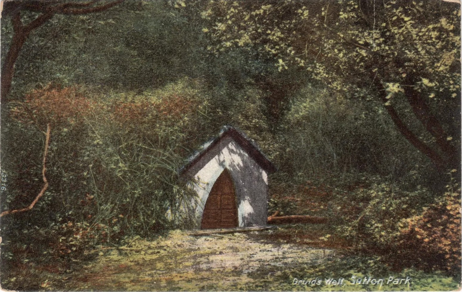
Druid’s Well in 1910(-ish)

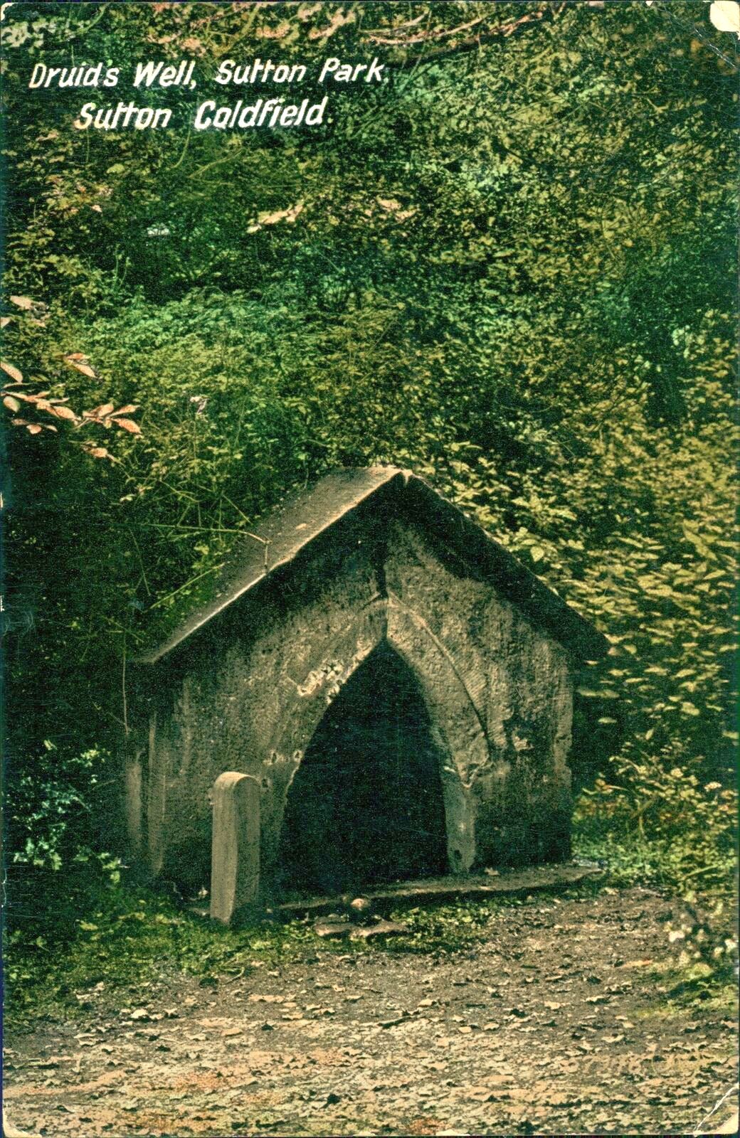
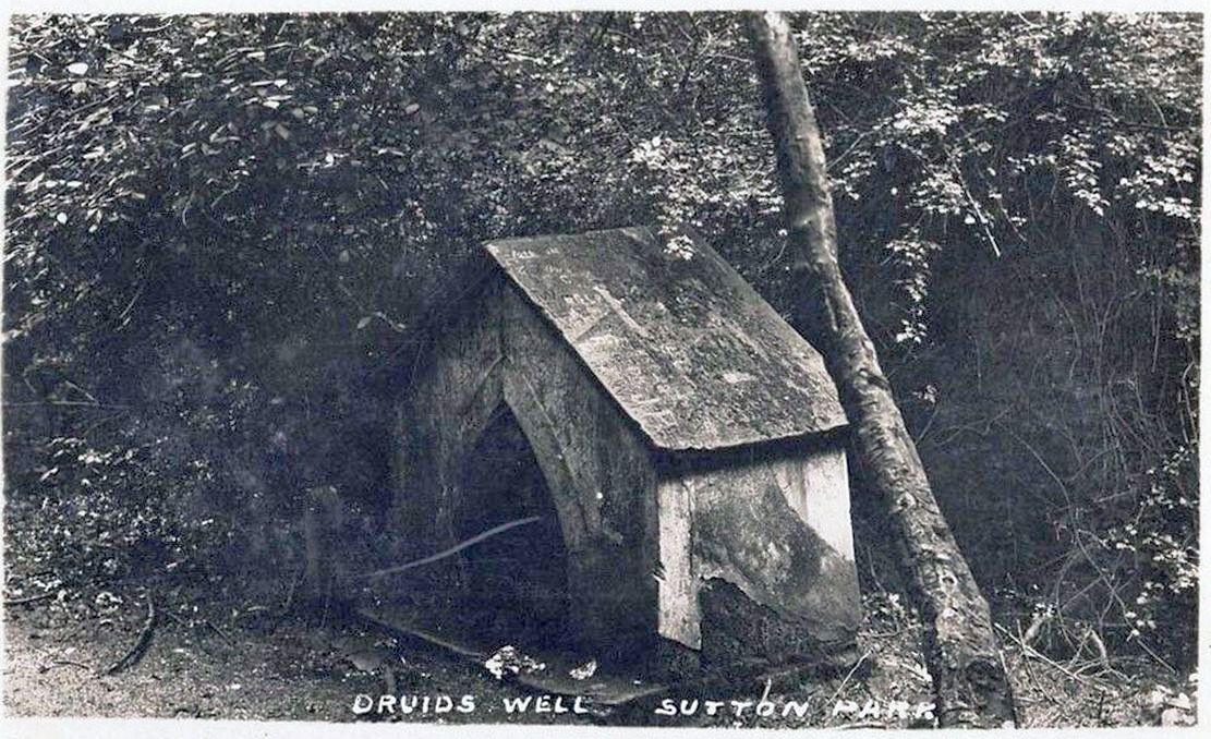
Highlighted on the 1884 Ordnance Survey map of the region and located beyond the far eastern end of Braceridge Lake, this legendary well has seen better days.  A small well-house once covered the spring, but all we have left today is little more than a rectangular stone-lined concrete hole-in-the-ground where the waters collect (hopefully some local folk can bring it back to life).  But in the 19th century it was well known, much frequented and maintained.

Not much seems to be known about its mythic history, as the traditions surrounding its dual pagan-christian dedication seem to have been forgotten.  When the local writer Tom Burgess (1893) came to explore its history, he merely wrote:

“How it came to be called the Druids’ Well is not known, it is scarcely necessary to say that it can have no Druidical connection; it is very probable, however, that it was dedicated to Saint Mary long before the dam of Bracebridge Pool was made by Ralph Bracebridge in the reign of Henry V.”

Druids Well in 1917
Druid’s Well in 1932

Jeremy Harte (2008) suggested that this well’s druidic association may have come from a local man, William Hutton who, in the middle of the 18th century, “speculated on a druid sanctuary near Sutton Coldfield.”  But before Hutton, the 17th century Staffordshire topographer, Robert Plot, suggested that an arch-druid held residence on Barr Beacon, which is less than three miles west of here.  This idea was echoed by Midgley (1904) who told that Barr Beacon “is supposed to have been a Druidical shrine.”  Just over three miles to the northwest, the Druid’s Heath (a place-name derived, apparently, from an old family) at Aldridge also had its own array of folklore which, perhaps, may have had something to do with this well’s association.  When Roy Palmer (1976) wrote about the Druid’s Well in his folklore survey, he told that Sutton Coldfield,

“is said once to have been the seat of the arch-druid of Britain; perhaps this was his well, which was later christianized.”

So much to choose from…

References:

  1. Bord, Janet, Holy Wells in Britain – A Guide, HOAP: Wymeswold 2008.
  2. Bracken, L., History of the Forest and Chase of Sutton Coldfield, Simpkin Marshall: London 1860.
  3. Burgess, J.T., Historic Warwickshire, Simpkin Marshall: Lond 1893.
  4. Harte, Jeremy, English Holy Wells – volume 2, Heart of Albion press: Wymeswold 2008.
  5. Midgley, W., A Short History of the Town and Chase of Suton Coldfield, Midland Counties Herald: Birmingham 1904.
  6. Palmer, Roy, The Folklore of Warwickshire, Batsford: London 1976.

Acknowledgements:  Huge thanks for use of the Ordnance Survey map in this site profile, reproduced with the kind permission of the National Library of Scotland

© Paul BennettThe Northern Antiquarian