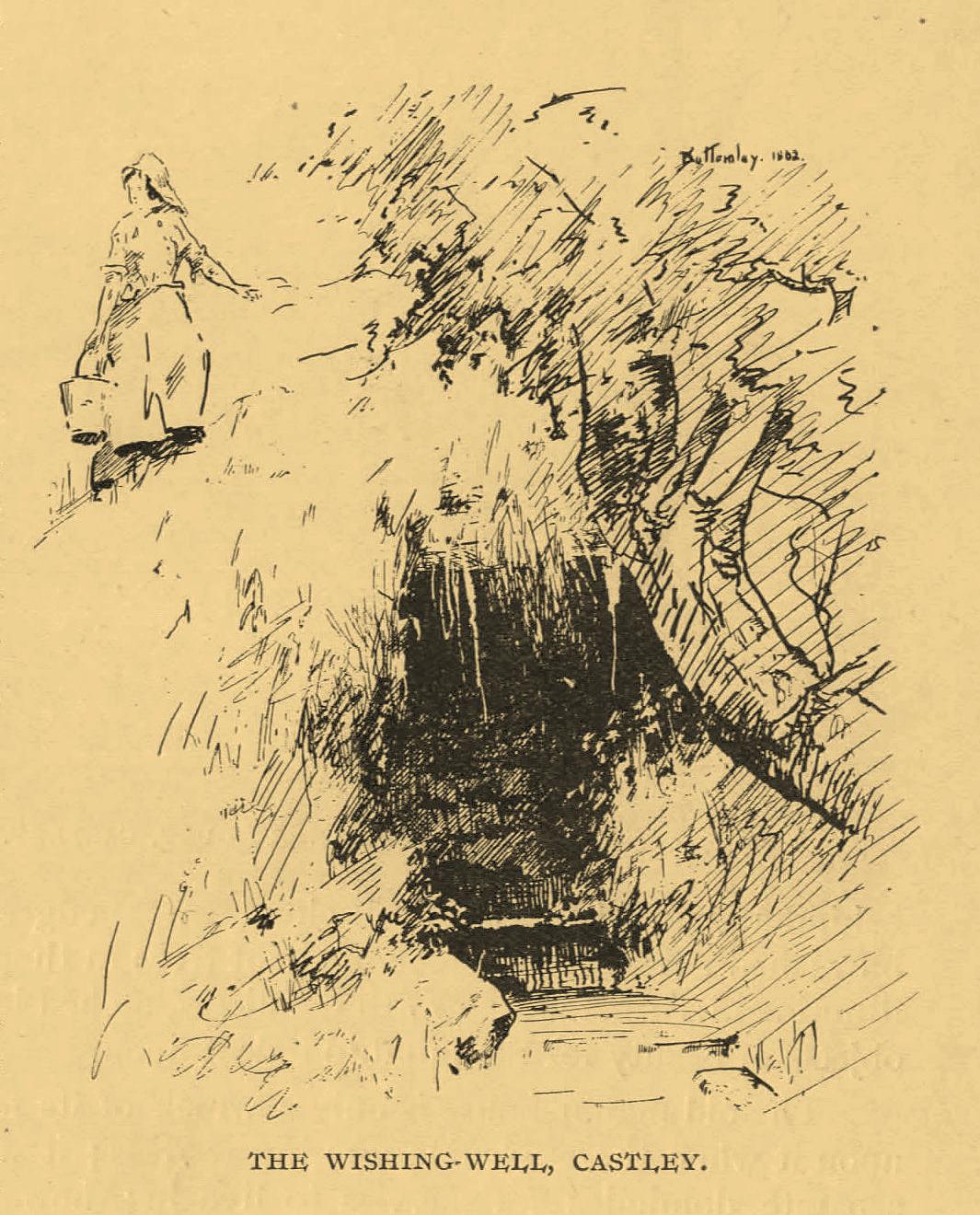
An important water source for local folk in Castley hamlet in previous centuries, this was one of several so-called ‘Wishing Wells’ above the higher banks of the River Wharfe a few miles from each other. It’s a title which, to be honest, was afforded the place when its original local name was removed. It was quite obviously a sacred well in earlier times, as it’s found beneath the slope of Chapel Hill, looking eastwards towards the rising sun, when the waters here (as at countless others) had their greatest remedial or magickal powers. Tradition told there was once a small chapel above the well itself. The spring was highlighted on early Ordnance Survey maps, but all that seems left here today is an occasional boggy mass in the trees at the bottom of the sloping hill.
The old folklorist and antiquarian Edmund Bogg (1904) wrote the following about it:
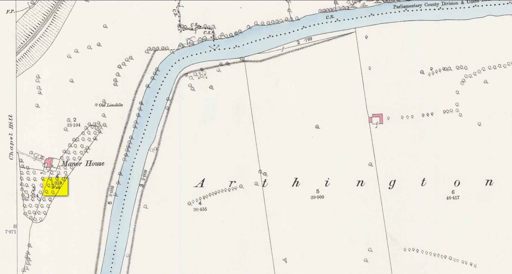
‘Wishing’ Well on 1888 map
“On the terraced bank near the garden, ’neath an overhanging hawthorn, is a beautiful spring of clear sparkling water, which is locally known as Castley ‘wishing-well.’ More than once we have heard the women-folk declare how, in their maidenhood, they loitered down the bank to the well, usually at eventide, when the birds were warbling their vesper song, and placed their offerings there in silence, yet breathing, as it were, the mute longing of their heart’s desire. It is a natural grotto fit habitation of fairies or the traditional elves. The bank, in which the well is situated, is known as ‘Snake Bank.’”
References:
Edmund Bogg, Higher Wharfeland, James Miles: Leeds 1904.
Acknowledgements:Huge thanks for use of the Ordnance Survey map in this site profile, reproduced with the kind permission of the National Library of Scotland.
Just over the county boundary on the north side of the Wharfe’s riverbank, the easiest way to find this is from the village of Burley-in-Wharfedale, walking out as if heading towards Ilkley (west) and, just 100 yards or so before reaching the A65(T) road, walk down the footpath that takes you down to the River Wharfe. Go over the large stepping-stones and, once on the other side, walk down the edge of the riverbank for 10 yards, up the first ridge and there, just below the grass where the edge of the land is coming away, you’ll find this small cup-marking.
Archaeology & History
First discovered t’other day, on Friday, 28 May, 2010, when we were starting on another wander onto the hills. We’d only just crossed the large stepping-stones over the River Wharfe just outside Burley and heading up to Askwith, when Michala Potts stopped, peered and said summat along the lines of, “Errr….look at this!”
Riverbank Cup-MarkingClose-up of cup-mark
My initial thought was it was gonna be some naturally eroded water-worn stone — but it didn’t seem that way. Peering out from the edge of the ground n the company of many other small stones and gravel, which was slowly coming away just yards above the edge of the river, a rounded cup-marked stone with just a single cup-mark stood out like a sore thumb! It was covered in dusty earth and looked a quite decent example; but once we’d cleared the dried earth away and wet the stone, the cup-marking was truly enhanced. To those of you who have a thing about cup-markings and associations with rivers and streams, this one can be added to your statistics! (20 yards away the Askwith East Beck meets with the river)
Obviously added as part of the river embankment, the stone would obviously have been taken from a nearby source, but we’re unlikely to ever find out where. It looks typical of cup-marked stones that were added to cairns, but no such site (that we know of) occurred close by. We were gonna peel some of the embankment back and see if there was anything else here, but time and another ancient site that we’d arranged to see was calling us away, so we just got a few pictures and kept on our way…