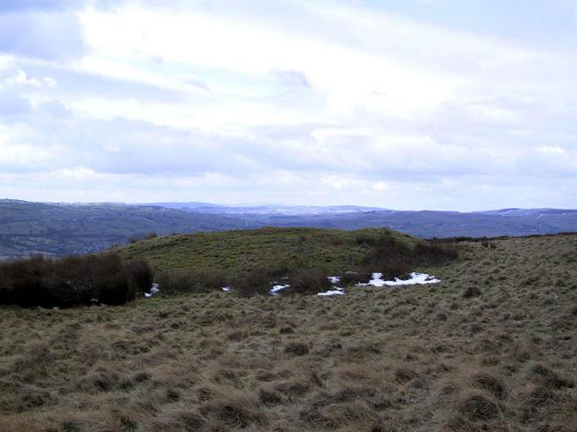
Tumulus: OS Grid Reference – SE 107 509
Also known as:
- Black Hill tumulus

From Ilkley town centre, taken the road north across the River Wharfe, turning left and up the country lane towards Nesfield. As you’re driving with the farmed fields on either side, you’ll go round a couple of swerves in the lane and reach the open moorland on your right, just past the small copse of trees on the same side. There’s a small place to pullover on the right 100 yards on and walk up the footpath running northeast onto the moor. Go past the disused quarry and up further till you reach the rounded hill where the tumulus stands.
Archaeology & History
On the moors north of Ilkley – as shown on OS-maps since the 1850s – on the southeastern edge of Middleton Moor, is this singular tumulus, a short distance west of some old quarrying at the curiously-named Lurgy Delf. The small hill is easy to find and appears at the western edge of a whole host of neolithic and Bronze Age remains. It is included as a boundary marker between Middleton and Langbar, as marked by an old stone on its southern side. Eric Cowling (1946) described this as “a spread of stones on Round Hill” in the same context as other burial mounds and cairns in the region, also naming it as the Black Hill tumulus. Many flints had been found all round here and it stands at the western edge of a great number of cup-and-ring stones, stretching eastwards across the moors for several miles. To my knowledge, no excavation has taken place here.
References:
- Cowling, Eric T., Rombald’s Way, William Walker: Otley 1946.
© Paul Bennett, The Northern Antiquarian