Todds Well, Garthamlock, Glasgow, Lanarkshire

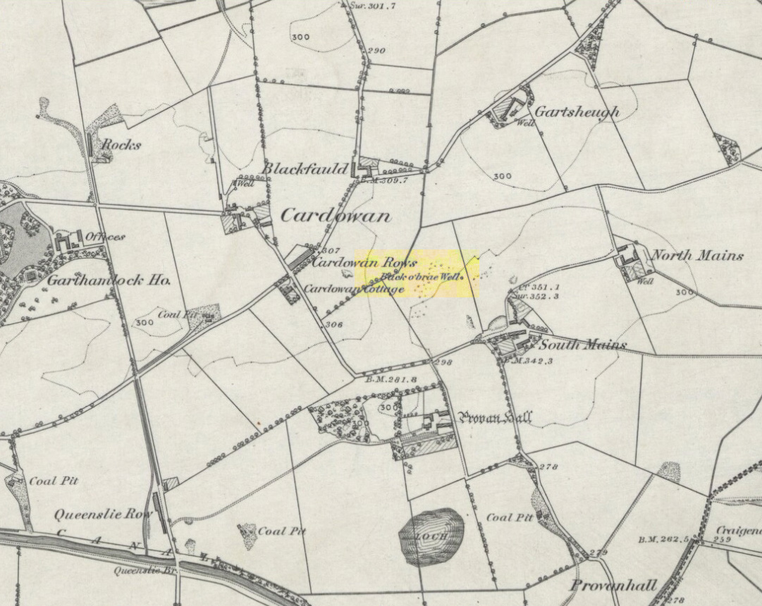
Healing Well:  OS Grid Reference – NS 66826 66603

Also Known as:

  1. Back o’ Brae Well

Getting Here

Site location on 1864 map

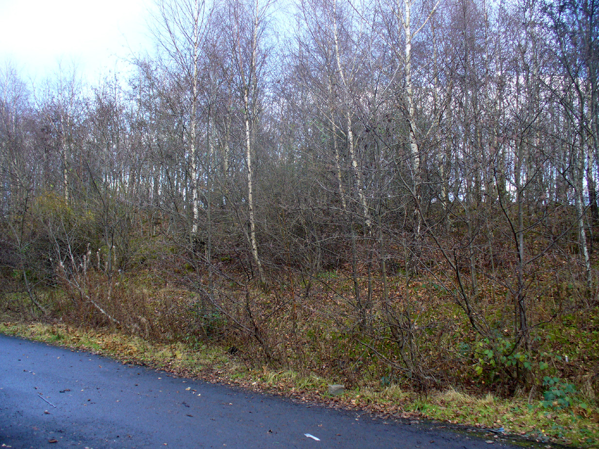
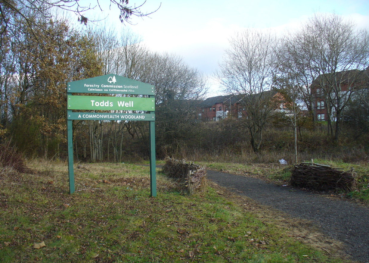
Many ways to get here, via the M8 or the B806. Just get to the Glasgow Fort shopping centre on the northern edge of Easterhouse, above Provan Hall.  At the T-junction where the road from the Fort meets Auchinlea Road, note the sign saying ‘Todds Well’.  Walk along the winding path, keeping to the lower side, and as you swing round the small hill, keep your eyes peeled for the small burn emerging from the shrubs 10-20 yards off the track.  That’s the place.

Archaeology & History

Follow the track past the sign

Thankfully this site still exists and the waters—slow though they flow—are quite drinkable (us lot drank here anyway!).  It was illustrated on the early OS-map of the area as the ‘Back o’ Brae Well’—no doubt gaining its name from the surveyors who took the directions to the place as its title!  At the point where the spring water emerges from the Earth, very overgrown remains of low walling marks the opening well-head, and a number of larger stones mark the course of the tiny burn as you walk towards the track (though these could be more recent).

Getting ready for a drink!
The slow-flowing water source

Thought to derive its name from the old word todd, meaning ‘fox’ (Grant 1973), a variant on the word may have meant that children’s games were played here (but without a confirmation of this in local folklore, we should urge caution).  As well as being used by local people, the water from Todds Well was one of the places used by them there ‘rich’ folk who lived at nearby Provan House.

References:

  1. Bennett, Paul, Ancient and Holy Wells of Glasgow, TNA 2017.
  2. Grant, William (ed.), The Scottish National Dictionary – volume 9, SNDA: Edinburgh 1973.

Acknowledgements:  Big thanks to the other doods – Nina Harris, Paul Hornby and Frank Mercer – in our visit to this site.

© Paul Bennett, The Northern Antiquarian 


Kirkshaws, Old Monkland, Lanarkshire

Tumulus (destroyed):  OS Grid Reference – NS 7249 6279

Also Known as:

  1. Canmore ID 45792

Archaeology & History

Site location on 1864 map

On the flat meadowlands below the slopes of Old Monkland, half-a-mile southeast of the legendary Pilgrim’s Stone, an old mound once lived.  It may have been here for thousands of years but, with the encroachment of the toxic Industrialists, its time was coming to an end.  The mound was levelled in 1832 and, beneath it, relics from a truly ancient past were unearthed – and destroyed of course.  The account of its demise was told in the Glasgow Evening Post of May 26 that year.  Many years later, the Royal Commission (1978) lads unearthed the information and included the site in their inventory for prehistoric sites in Lanarkshire.  They told:

“In 1832 four cists were discovered during the levelling of a small mound 900m SE of Old Monkland Church. The cists, which measured about 1m by 0.6m, contained the remains of crouched inhumations, two of them double burials with the skulls at opposite ends of the cists. A stone hammer-head and a coin were found in one cist, the latter no doubt indicating subsequent disturbance. There is now no sign of the site, and it is not certain from the report whether the cists were inserted into a small natural  mound or were covered by a barrow.

“The present farmer states that his father discovered a single cist during ploughing in the same field; it contained a pottery vessel which the landowner, Mr Sholto Douglas, was thought to have presented to a museum, but it cannot now be traced.”

References:

  1. Royal Commission on the Ancient & Historical Monuments of Scotland, Lanarkshire: An Inventory of the Prehistoric and Roman Monuments, HMSO: Edinburgh 1978.

© Paul Bennett, The Northern Antiquarian 


Mary’s Well, Easterhouse, Glasgow, Lanarkshire

Healing Well:  OS Grid Reference – NS 68613 65094

Archaeology & History

This old well, named after Queen Mary (one of at least three dedicated to her in Lanarkshire), was illustrated on the earliest Ordnance Survey map of the area in 1864.  Local tradition tells us that the site gained its name when the great Mary Queen of Scots visited this old healing well, amidst a period when she stayed at Provan Hall 1½ mile away.  Both she and her horse stopped and drank here for refreshment.

Site of Mary's Well
Site of Mary’s Well
Mary's Well on 1864 OS-map
Mary’s Well on 1864 OS-map

In the 19th and early 20th century, the well was converted into a pump and supplied the water to a row of cottages that used to be here.  When we visited the site yesterday, no trace of the pump, nor any spring of water could be found.  It seems that a huge pile of industrial crap has been piled on top of the well, then trees planted to give the impression that Nature has taken back the place.  The well seems to have been completely destroyed (the photo here shows the spot where the well should be, just a few yards into the young trees).  Due to this site being an important part of Scotland’s heritage, its ignorant destruction must be condemned.

Acknowledgements:  Big thanks to the team – Nina Harris, Paul Hornby and Frank Mercer – for their work here. And to Dan Holdsworth and John Bestow for their additional input.

© Paul Bennett, The Northern Antiquarian