Holy Well: OS Grid Reference – NS 5883 6056
Also Known as:
- Kirk Well
Archaeology & History
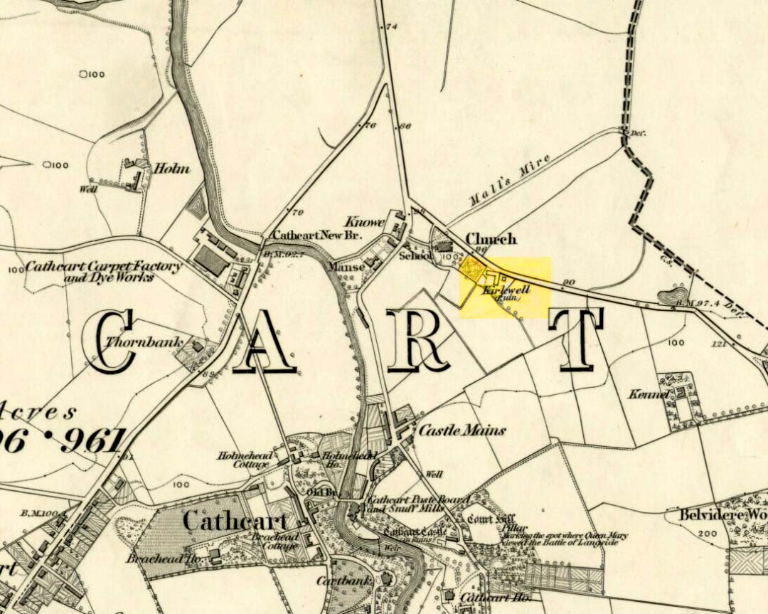
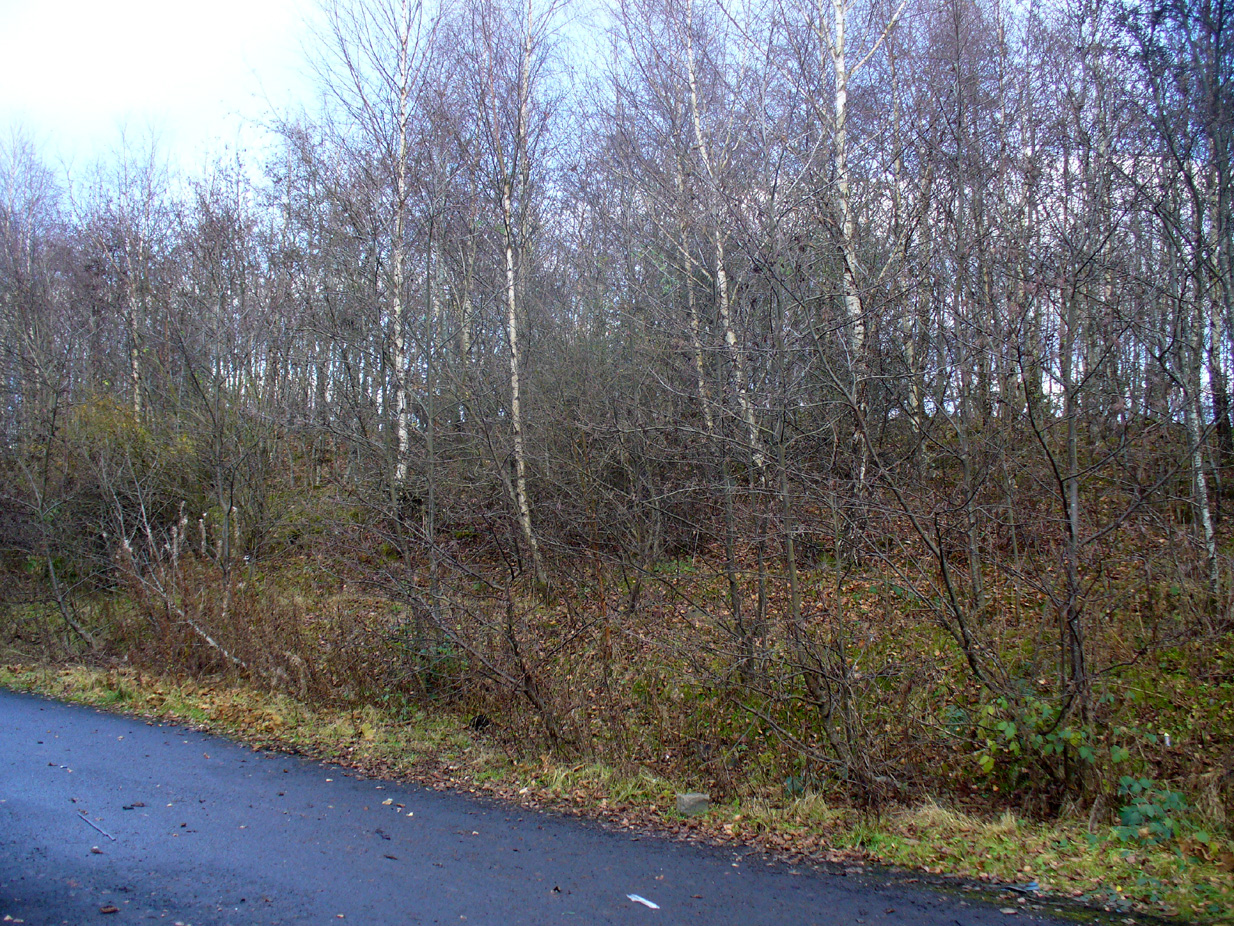
St. Oswald’s Well was described in Hew Scott’s (1920) magnum opus as being beside the parish church of the same name, but other references to it are scant. An old well-house was built besides or over the waters, which subsequently became known as the Kirk Well due to its proximity to the church, 125 yards to the northwest. All trace of it appears to have gone. The road to the west of the site also 125 yards away, called Kirkwell Road, seems to be the last piece of folk memory that remains.
St. Oswald himself was a British tribal leader of Northumbrian descent who, legend tells, went to Iona and became a christian. He had to leave the island eventually and go back into Yorkshire to bring peace back into the northern counties. Whether this Well of his was dedicated to him as a result of his journey from back south from Iona, we do not know. His saint’s day is August 5—very close indeed to that old heathen celebration time of Lughnasadh or Lammas. Most likely this is not just a coincidence, but will have related to what local folk were doing before the christian impositions.
References:
- Bennett, Paul, Ancient and Holy Wells of Glasgow, TNA 2017.
- McNeill, F. Marian, The Silver Bough – volume 2: A Calendar of Scottish National Festivals, Candlemas to Harvest Home, William MacLellan Glasgow 1959.
- Scott, Hew, Fasti Ecclesiae Scoticanae – volume 3: Synod of Glasgow & Ayr, Oliver & Boyd: Edinburgh 1920.
- Steele, Joyce, Seeking Patterns of Lordship, Justice and Worship in the Scottish Landscape, Glasgow University 2014.
© Paul Bennett, The Northern Antiquarian