Holy Well: OS Grid Reference – NS 8563 9548
Archaeology & History
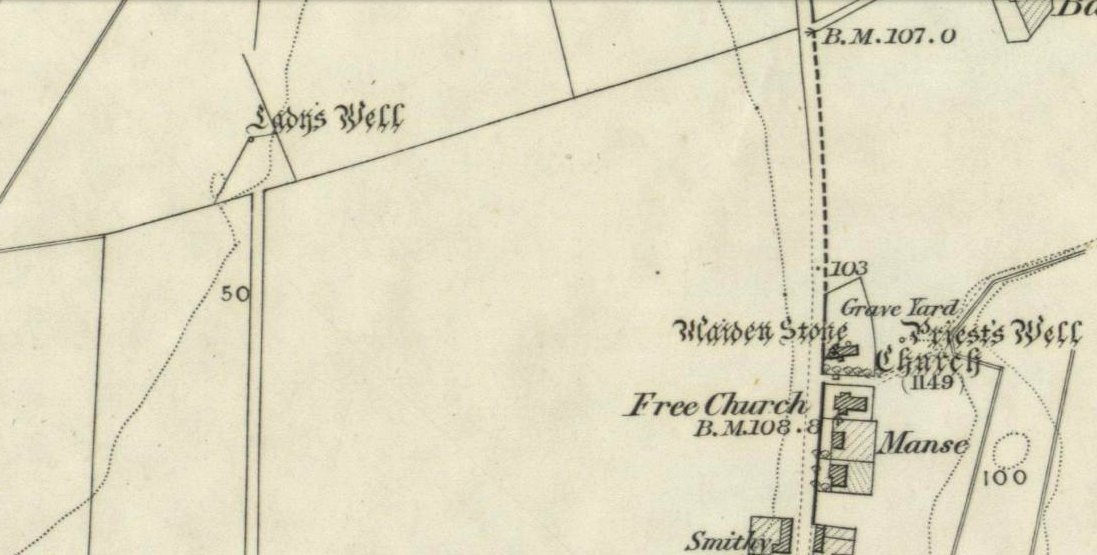
My initial thoughts about this holy well, was that it had been destroyed—but thankfully I was wrong. It had been intruded upon by roadworks along the B9140, with the original water source affected, but it was re-routed and can still be found below the south-side of the main road. It was highlighted on the 1866 Ordnance Survey map of the area When the Royal Commission (1933) lads visited the site in 1927 they told that,
“It has no features of special interest. It is 4′ in diameter, but is so much filled up with stones and debris that it is now not more than 2′ deep.”
The site was mentioned in Ruth & Frank Morris’ (1982) survey, but with no additional information. I’ve not been able to find out whether the ‘lady’ of this well was a saintly woman of religious importance, or just one of us commoners! Does anyone know?
References:
- Morris, Ruth & Frank, Scottish Healing Wells, Alethea Press: Sandy 1982.
- Royal Commission on the Ancient & Historical Monuments, Scotland, Inventory of Monuments and Constructions in the Counties of Fife, Kinross and Clackmannan, HMSO: Edinburgh 1933.
© Paul Bennett, The Northern Antiquarian