Cup-Marked Stone: OS Grid Reference – NN 81875 44068
Getting Here
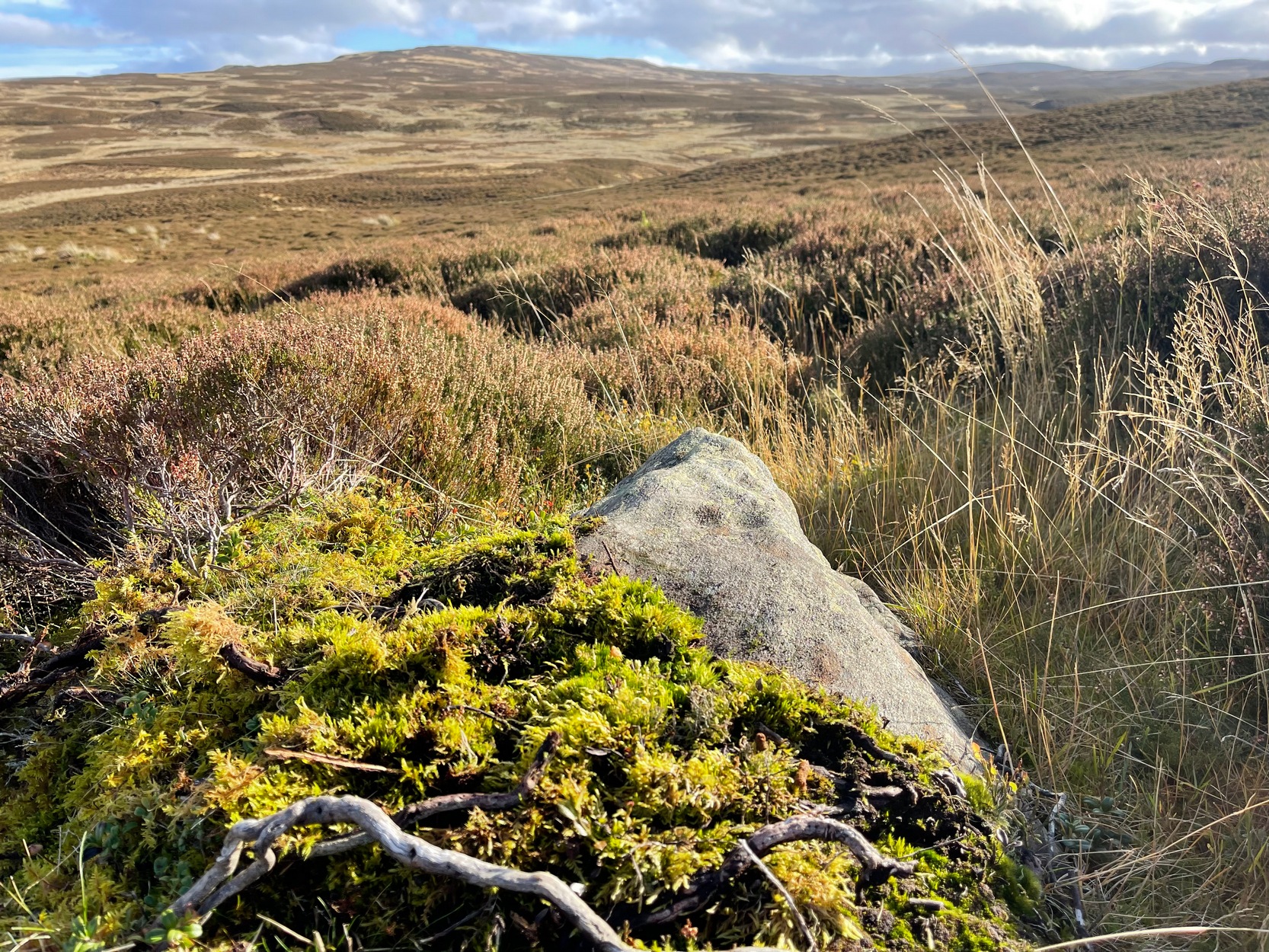
Take the long steep zigzag road from Kenmore to Amulree, and just where the road begins to level out, park up near the isolated hut by the roadside at the side of the lochan. Just past here, a track on your left takes you onto the moors, past the lochan. Nearly a mile along the track splits: bear to the right, uphill slightly, then it’ll wind downhill and you’ll pass another track on your right. Ignore it, keep walking along and where you find a grassy little passing-place on your right—stop! Now walk uphill, onto the moor, through the heather for 175 yards and the land has levelled out. Look around!
Archaeology & History
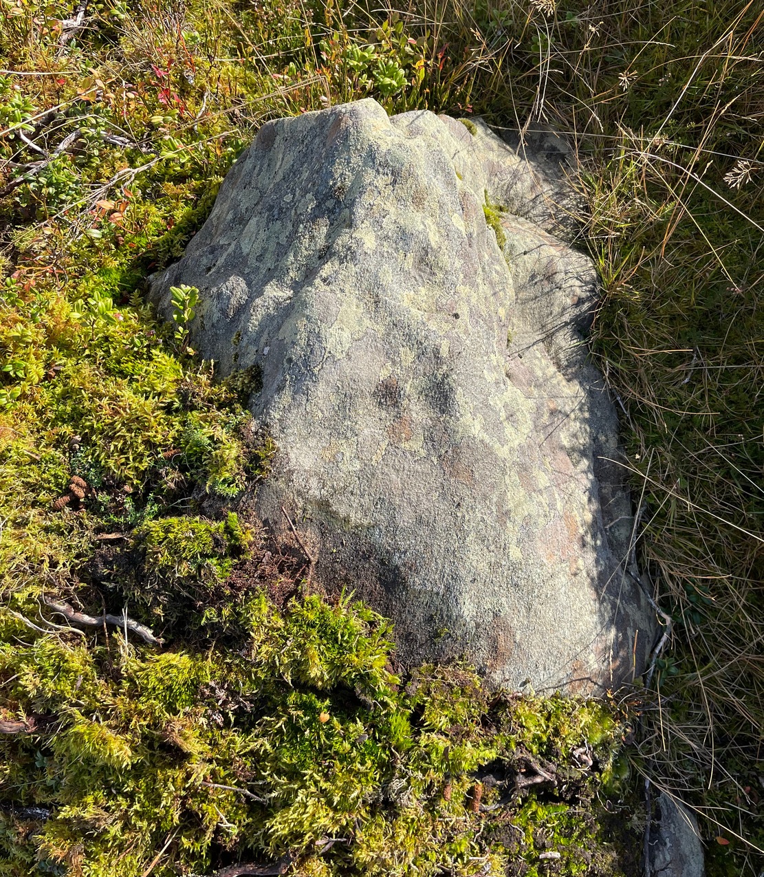
I came across this very basic carving when checking out a couple of others close by and found that it hadn’t been recorded before. It’s nothing special to look at, but is an outlier of the main Craig Hill cluster of carvings a few hundred yards to the west. The design consists of at least two cup-marks that have been etched near the top of the rock, although when I wet the stone it seemed as if a third one was next to the other two, as if in a line. The sun was at its peak when I found it, which meant that I couldn’t get any decent photographs to illustrate this—even when I watered the olde thing! It’s another carving that will only be of interest to the real petroglyph fanatics amongst you.

© Paul Bennett, The Northern Antiquarian