Chambered Cairn: OS Grid Reference – NC 68763 61406
Also Known as:
- Canmore ID 5775
- Dun Richard
Getting Here

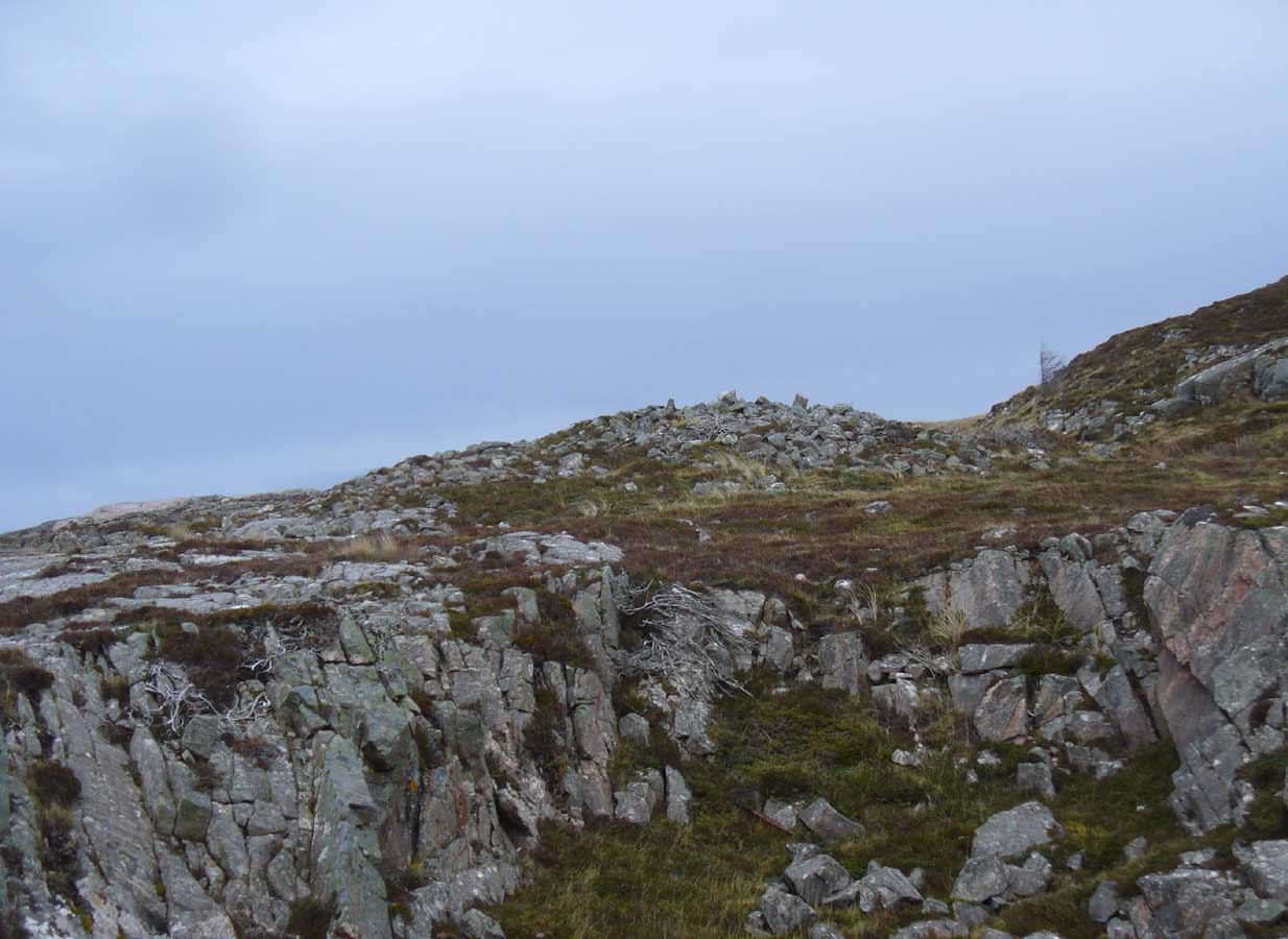
Along the A836 road between Bettyhill and Tongue, keep your eyes peeled for the turning down to Borgie and Skerray. Go along here for 1.8 miles (2.9km) until, just past a tiny road on your left, a small parking spot with a tourist board is by the roadside. Walk down hill and over the River Borgie below and follow the footpath round until your reach the edge of Torrisdale Beach. From here, walk right, uphill, across overgrown sand-dunes to the stone escarpment 400 yards or so to the east. A large scattered mass of rocks on top of one of the first rocky knolls is what you’re looking for. You can’t really miss it.
Archaeology & History

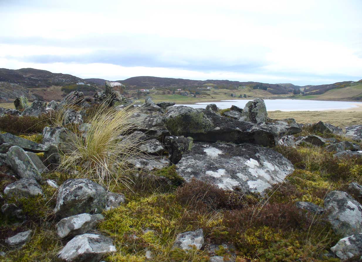
This is worth the journey for the scenery of Torrisdale Bay alone: one of the most beautiful places in all Scotland. …Not far from the legendary Ringstone and the carving above, this collapsed mass of scattered rocks was said, in local lore, to have been the remains of an old broch—or that’s what Hew Morrison told the Royal Commission (1911) lads about it when they surveyed the area more than a century back. Their description was short:
“About ½-mile E of the footbridge across the River Borgie, near Torrisdail, and on the W. side of Druim a’ Chleibh, are the remains of a broch. No outlines of walls are visible. The site is indicated by a structureless heap of stones.”
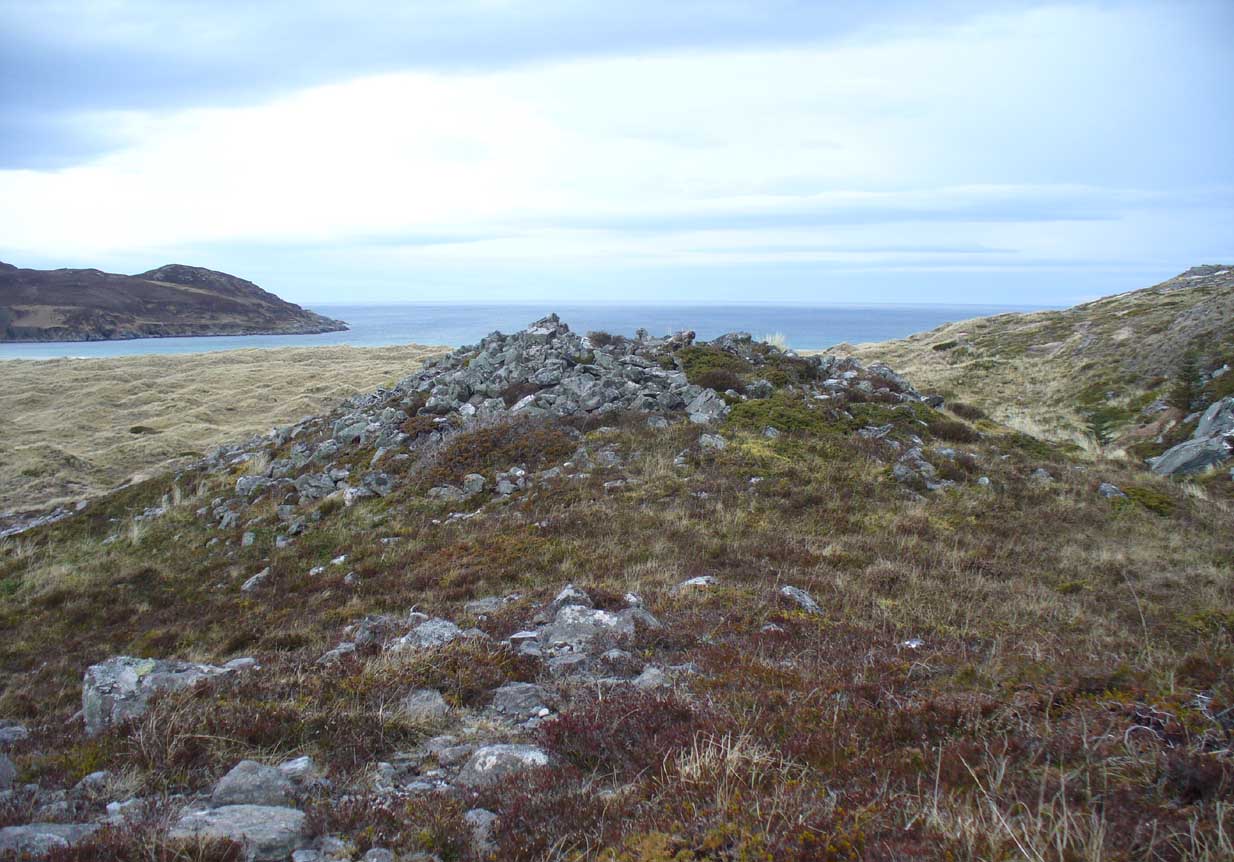
It seems at first to be in an unusual position for a chambered cairn: built onto solid rock instead of soil. Yet we find this geocentric structuralism echoed at the Borgie chambered tomb 1½ miles to the southeast. When you reach the place, a large mass of stones—hundreds of them piled-up several feet high—is strewn across the rocky surface and reaching onto more typical moorland ground. On top are a number of large stones, some laid down, some half-upright appearing, perhaps, to have played some part in an internal cist or chamber. On the eastern side the rocky mass falls down a natural steep slope, with many of the fallen stones covered by centuries of vegetation. As you walk around it, cairn-scatter seems to extend southwards towards another natural rocky knoll 20 yards to the south, giving the impression of a second cairn (much like the Fiscary 1 and 2 cairns 2.8 miles to the east), but this is improbable.
The first detailed archaeological account of the site was by Audrey Henshall (1972), who told us:
“…The cairn is about 4ft high, consisting of a mass of angular stones. On the S side the edge can be traced, and the indications are that the diameter was about 57ft. The edge on the N side is rather vague and may have been flattened in plan. On the E and W sides, where there are steep drops, the stones have evidently spread downhill, though on the E side parts of a roughly built edging can be seen.
“Many large slabs lie about the site, probably mainly displaced corbels and roofing stones. Much of the chamber structure probably exists, and a few visible orthostats are probably in situ. The entrance has probably been from the N or seaward side. A slab towards the S side, aligned E-W, projects 1ft 6in, and is likely to be the back-slab. The E side of the chamber is represented by a slab 4ft 6in to the N, aligned N-S, which is just visible. On the W side of the chamber there are a number of large slabs, one over the other wide their E edges aligned vertically, and laid declining to the W, which appear to be corbel stones only slightly displaced. To the N of them, a stone set transversely to the axis of the chamber, 10ft 3in N of the back-slab, might be a portal stone. Another upright stone seemingly firmly set but obstructing the probable position of the entry into the chamber, is presumably displaced.”
More than twenty years later however, Miss Henshall (1995) revisited Dun Riaskidh and altered her initial diagnosis of it as a chambered cairn, suggesting it to be something completely different, telling:
“The cairn-like structure…has an overall spread of about 17m including stone displaced downhill, and a height of 1.6m on the S side. On the summit a group of upright slabs protrudes up to 0.35m, and forms a rough oval 5.5m E to W, by 4.5m N to S. They seem to be on the inner side of a ring of stony material about 2.5m thick. In the interior is a disorganised mass of lintel slabs and three earthfast upright slabs. The structure appears to be a house with spaced uprights in the inner face of the wall, and with a series of uprights which helped to support a partly lintelled roof. A hollow on the N or seaward side probably indicates the position of the entrance.”

Now woe am I to go against the words of a giant like Miss Henshall, but having slept in numerous derelict houses and seen countless numbers of them in the hills, this structure does not seem to have such properties. The category that is continued by Canmore and Ordnance Survey re Dun Riaskidh is still a “chambered cairn”; but, perhaps, if Miss Henshall is correct in saying that it is not a cairn, then maybe the words of local tradition may have been right all along (again!) and this is a collapsed broch? Who knows for sure…?
Whatever its original nature and function, this vestige of antiquity is enveloped within another one of Nature’s incredible domains…
References:
- Henshall, Audrey S., The Chambered Tombs of Scotland – volume 2, Edinburgh University Press 1972.
- Henshall, Audrey S. & Ritchie, J.N.G., The Chambered Cairns of Sutherland, Edinburgh University Press 1995.
- Horsburgh, James, “Notes of Cromlechs, Duns, Hut-circles, Chambered Cairns and other Remains, in the County of Sutherland“, in Proceedings Society of Antiquaries, Scotland, volume 7, 1870.
- Mercer, R.J. & Howell, J.M., Archaeological Field Survey in Northern Scotland – volume 2, University of Edinburgh 1981.
- Royal Commission on Ancient & Historical Monuments, Scotland, Inventory of Monuments and Constructions in the County of Sutherland. HMSO: Edinburgh 1911.
Acknowledgments: Huge thanks to Donna Murray, for putting me up in this part of Paradise. Cheers Donna.
© Paul Bennett, The Northern Antiquarian
And anyway, surely a Dun should be dun-like, not grave-like.