Healing Well: OS Grid Reference – SE 16228 40696
Getting Here
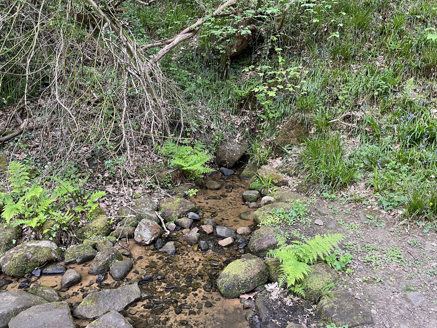
My walk up to this place took me off the main A6038 Hollins Hill road, across from the petrol station and up the scruffy disused road to the hamlet of Tong Park, bending round the houses to the right when they appear. Keep along this old track, then veer right, down the slope and along the footpath and into the trees under the railway arches, keeping on until you reach the lake on your left. At the end of the lake, cross the bridge and follow the footpath as it bends to the left and into the trees. You’ll go over a stile and then about 50 yards along, the stream that crosses the path emerges from a crack in the rocks on your right. You’re here!
Archaeology & History
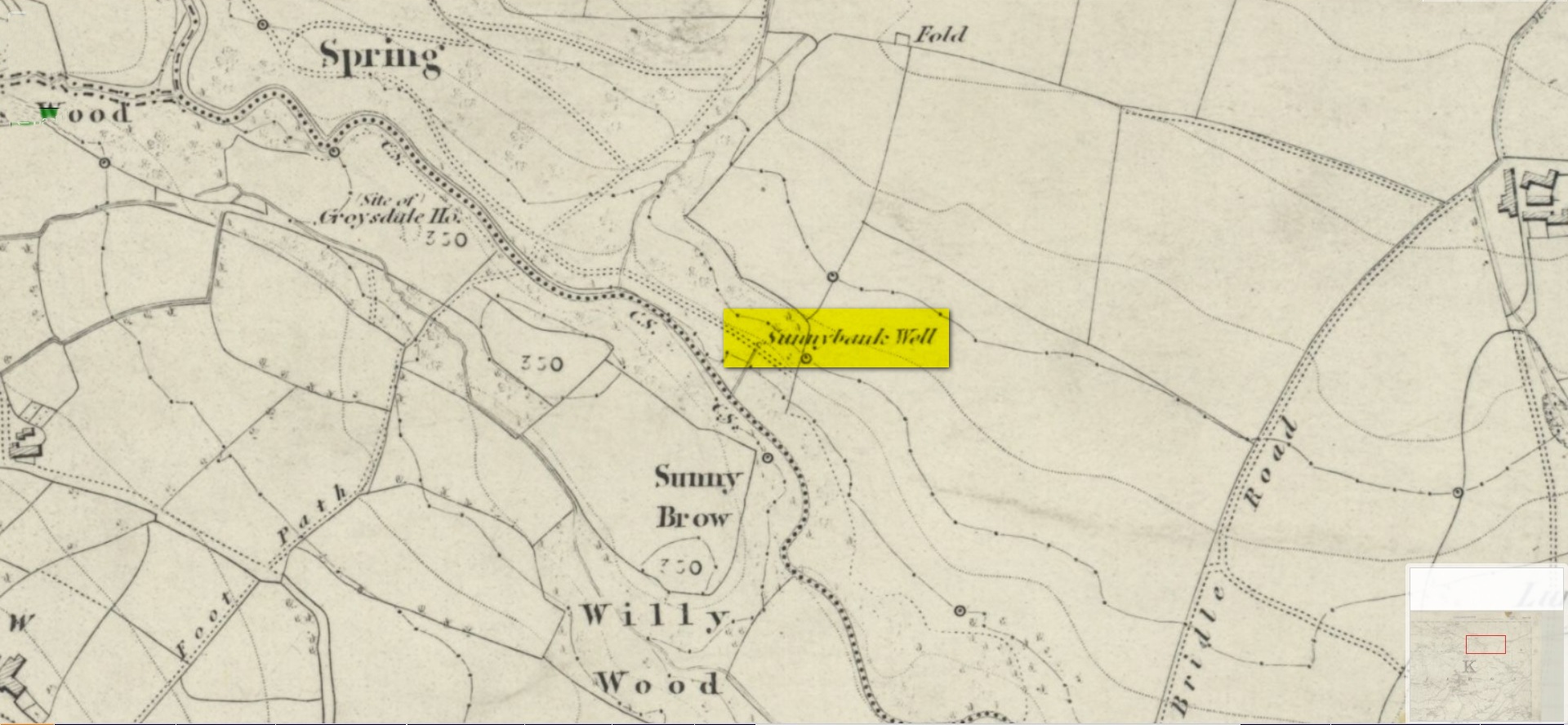
All history and tradition of this site seems long gone. It was shown on the 1852 Ordnance Survey map of the region and doubtless receives its name from the location, as the spring of water emerges from beneath the sloping embankment which is a bit of a sun-trap in Spring and Summer. It makes sense. Although I can find no reference to any medicinal attributes, the waters of Sunnybank Well are cold, fresh and drinkable.
References:
- Shepherd, Val, Historic Wells in and Around Bradford, HOAP: Wymeswold 1994.
Acknowledgements: Huge thanks for use of the Ordnance Survey map in this site profile, reproduced with the kind permission of the National Library of Scotland.
© Paul Bennett, The Northern Antiquarian