Standing Stone: OS Grid Reference – NO 55252 13352
Also Known as:
- Boarhills Stone
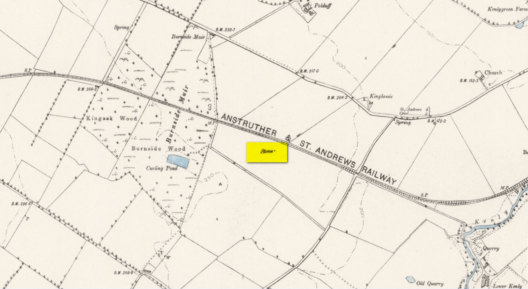
Take the A917 road southeast out of St Andrews, heading towards the hamlet of Boarhills about 4 miles away. However, about a half-mile before you get to Boarhills, keep your eyes peeled for a small minor road on your right, signposted to Dunino, 3 miles. Go along here for about 350 yards where you’ll reach a track cutting across the road. Walk up the gently sloping field here on your right and you’ll see, 400 yards from the road whence you’ve parked, a tall thin upright stone standing alone…
Archaeology & History
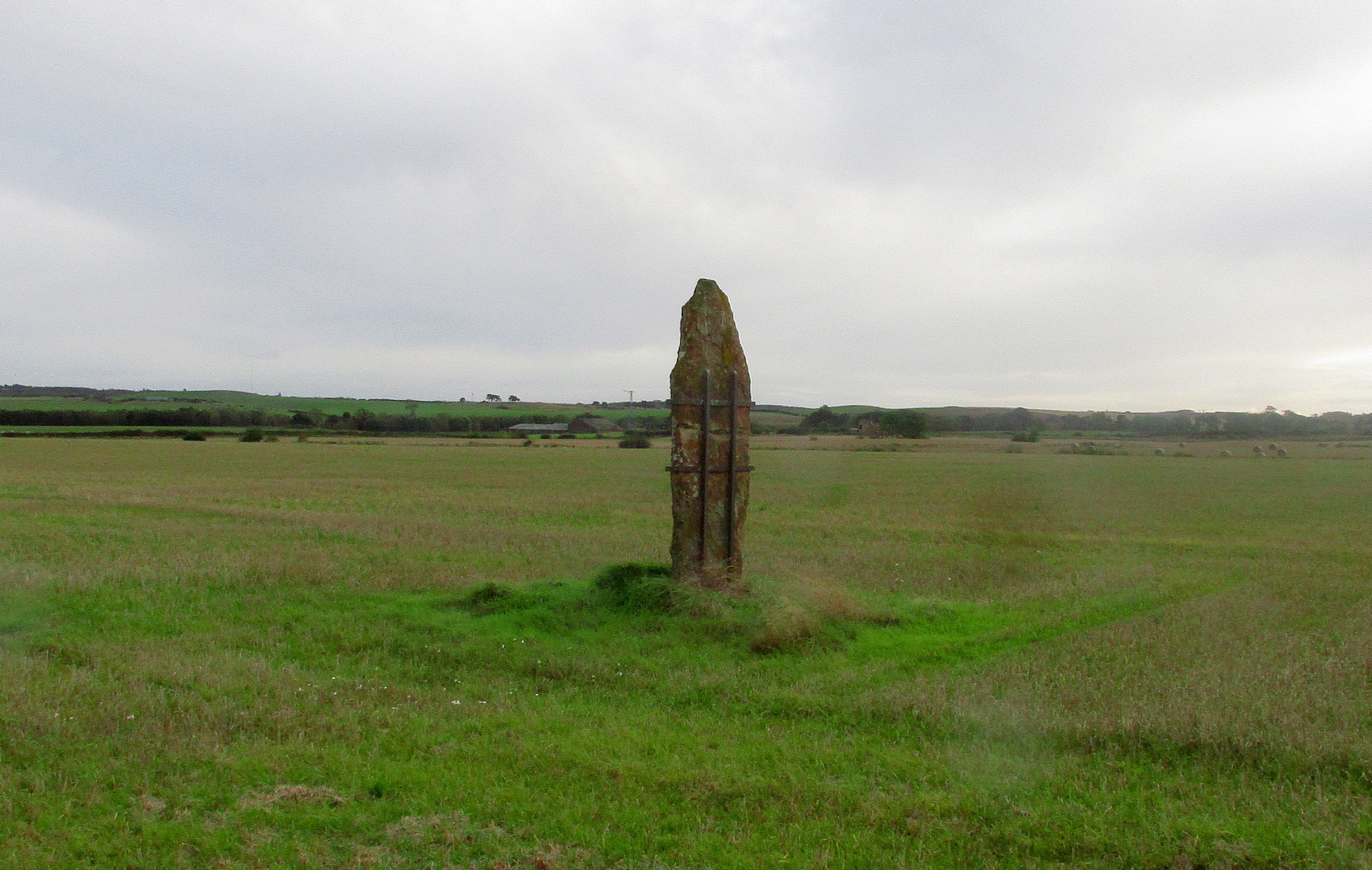 Highlighted on the 1893 and 1896 OS-maps (as merely a “Stone”), this tall and incredibly skinny standing stone has seen better days. After many-a-millenia, the god of storms cut the stone to the ground not too many years ago, leaving it broken in the middle o’ the field where once it stood. Thankfully however, local folk ensured that it was eventually resurrected and fixed into position once more, albeit in a somewhat ugly cage—or corset as Mr Hornby called it!
The Royal Commission (1933) lads checked the stone out for inclusion in one of their damn good surveys, they told us the following:
“About midway between the farms of Polduff and Peekie, and on the south side of the Anstruther and St Andrews Railway, 200 feet above sea level, there is a fine block of red sandstone, which rises to a height of just over 9 above ground. It averages 4¼ inches in thickness and measures 2 feet 4 inches wide across the broad faces. The stone has been set up with the major axis north-east and south-west and has been well packed round the base with smaller stones.”

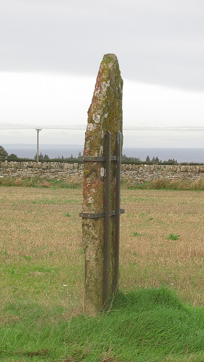
Interestingly—to me anyhow—when the monolith was recently stood back in its upright position, the archaeo’s found a spring of water beneath it. Many dowsers (and I don’t mean the ones who fallaciously reckon they’re finding ‘energy lines’ all over the place) have found the crossing of underwater streams and water sources to be a common feature beneath megalithic sites.
Folklore
In Richard Batchelor’s (1997) short work on the ancient sites of this area, he calls attention to what a Mr N. Dow thought was a ley-line passing from the cairn on top of Kellie Hill 4¾ miles (7.64km) away, northeast to the Peekie Stone, and which Mr Batchelor points out is close to the major lunar standstill.
References:
- Batchelor, Richard A., Origin of St Andrews, Shieling: St Andrews 1997.
- Royal Commission on the Ancient & Historical Monuments, Scotland, Inventory of Monuments and Constructions in the Counties of Fife, Kinross and Clackmannan, HMSO: Edinburgh 1933.
Acknowledgements: Huge thanks to Paul Hornby for use of his photos.
© Paul Bennett, The Northern Antiquarian