Healing Well: OS Grid Reference – NN 43172 04274
Archaeology & History
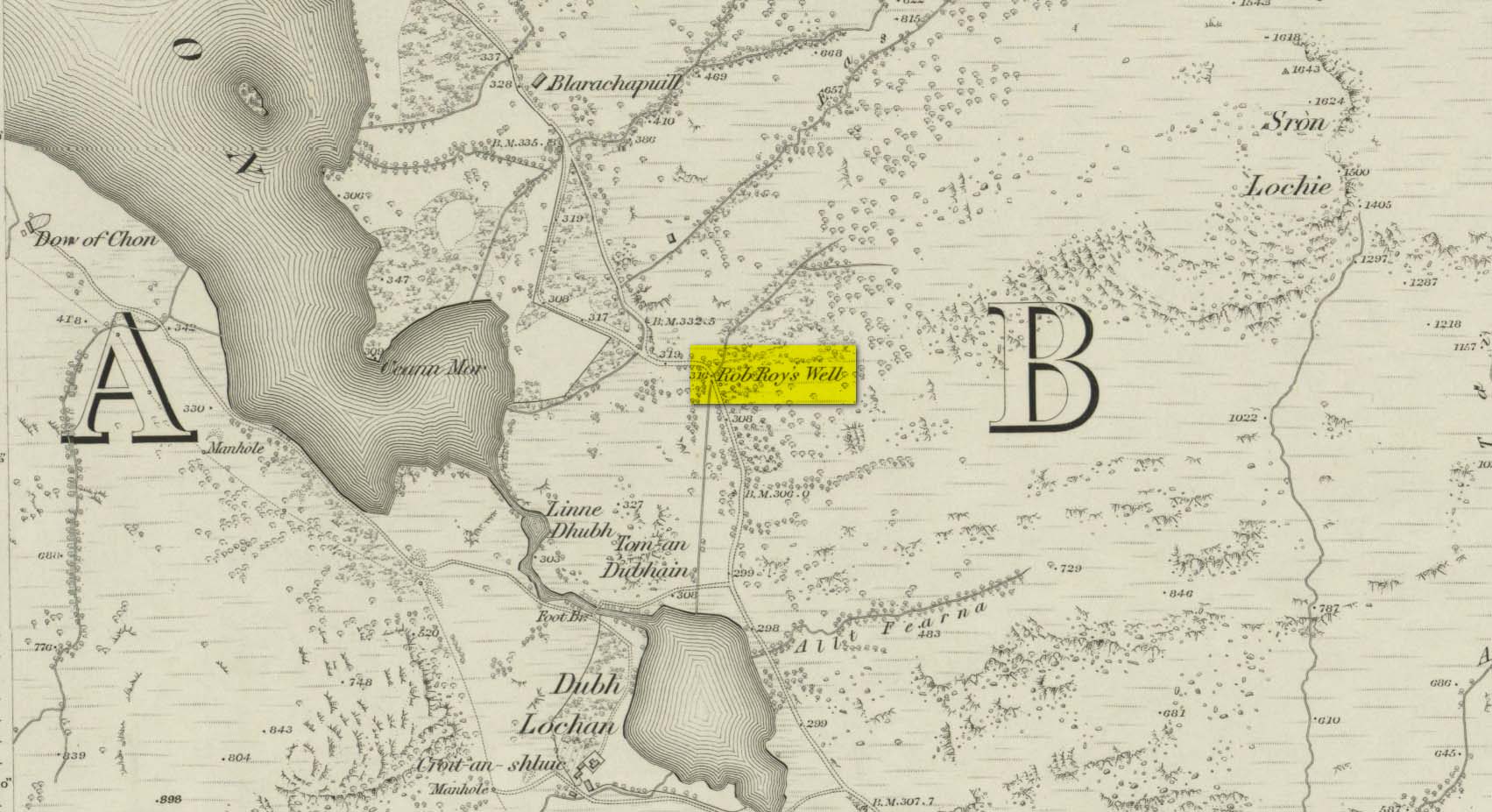
This long-forgotten site was found just by the old roadside several miles northwest of Aberfoyle, up the B829 Loch Chon road. Shown on the first Ordnance Survey map of the area in 1866, subsequent visits showed no remains of it and we must assume it had fallen back to Earth. When we visited the place recently, although there were no remains of any water trough, the spot where the well was shown on the map was very boggy with a small trickle of water running out of the slope. There is the possibility that, if the soaked soil just above the trickling water was excavated a few feet into the ground, that the original spring might be retrievable.
Obviously, its name tells of the tradition that this was a place where Rob Roy was known to drink. A number of places in this area bear his name. Surely this is a site that is worthy of bringing back to life, so to speak, and place it on the Scottish heritage map, where it belongs?
Acknowledgements: Huge thanks for use of the 1st edition OS-map in this site profile, Reproduced with the kind permission of the National Library of Scotland.
© Paul Bennett, The Northern Antiquarian