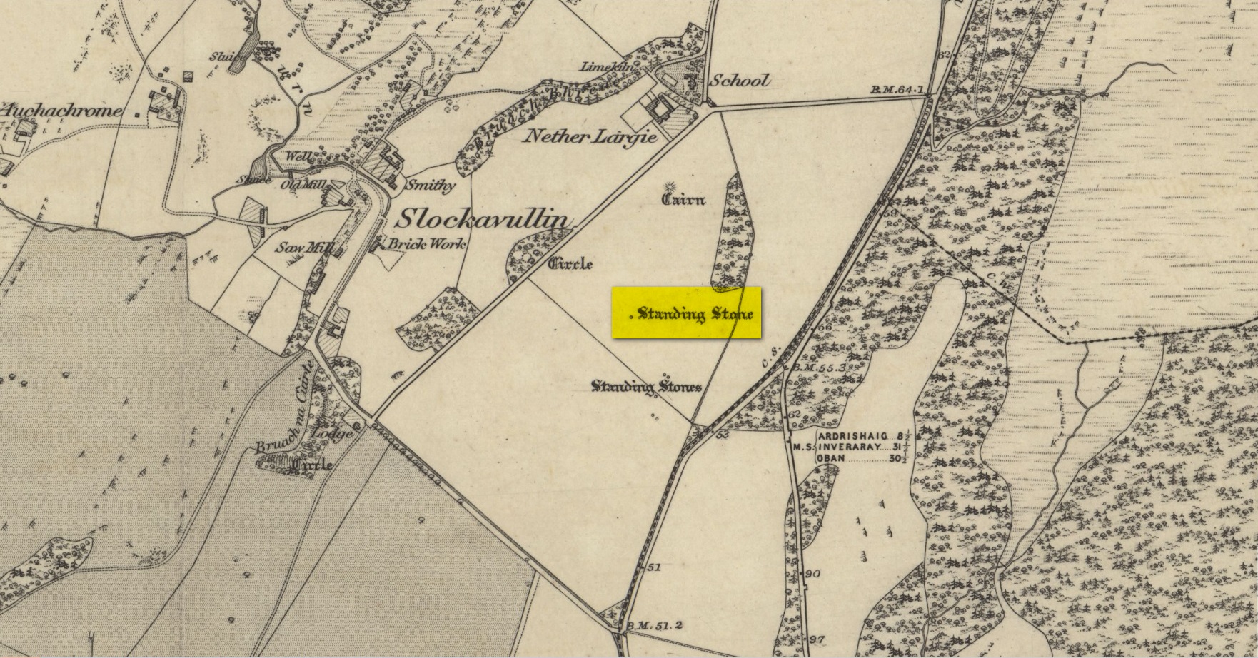
Standing Stone: OS Grid Reference – NR 8279 9773
Also Known as:
- Kilmartin ‘S6’ (Thom)
Getting Here
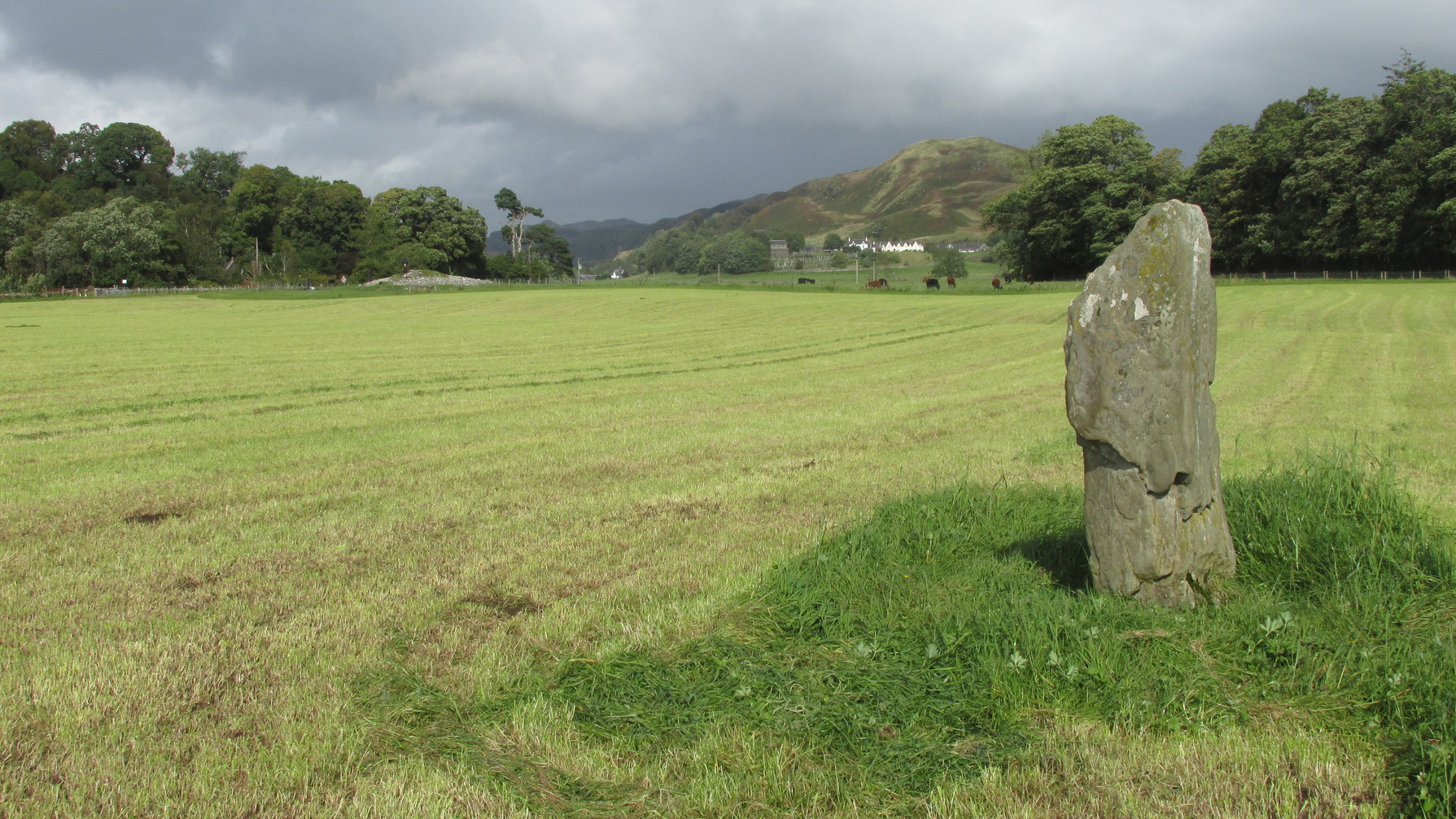
Along the A816 road, just less than a mile south of Kilmartin, take the right-turn on the B8025 Tayvallich road. Barely 50 yards along here, park up on the left-side of the road. Cross the road and walk along the well-marked footpath to the mighty megalithic Kilmartin ‘X’. The path continues to Temple Wood but you’ll see, in the field to your right, this single standing stone. (you’ll see the mighty Netherlargie South cairn in the field beyond)
Archaeology & History
First illustrated on the 1874 Ordnance Survey map, this solitary stone (though it may once have had companions) stands some 200 yards south-east of the Temple Wood circle and 355 feet north-west of the northernmost stone in the Kilmartin ‘X’ megalithic complex. When Alexander Thom surveyed this area, despite finding astronomical alignments at many of the standing stones nearby, he could find no heavenly association at this solitary monolith. Its function remains hidden for the time being, although everyone assumes it had some relationship with the giant tombs close by. It makes sense.
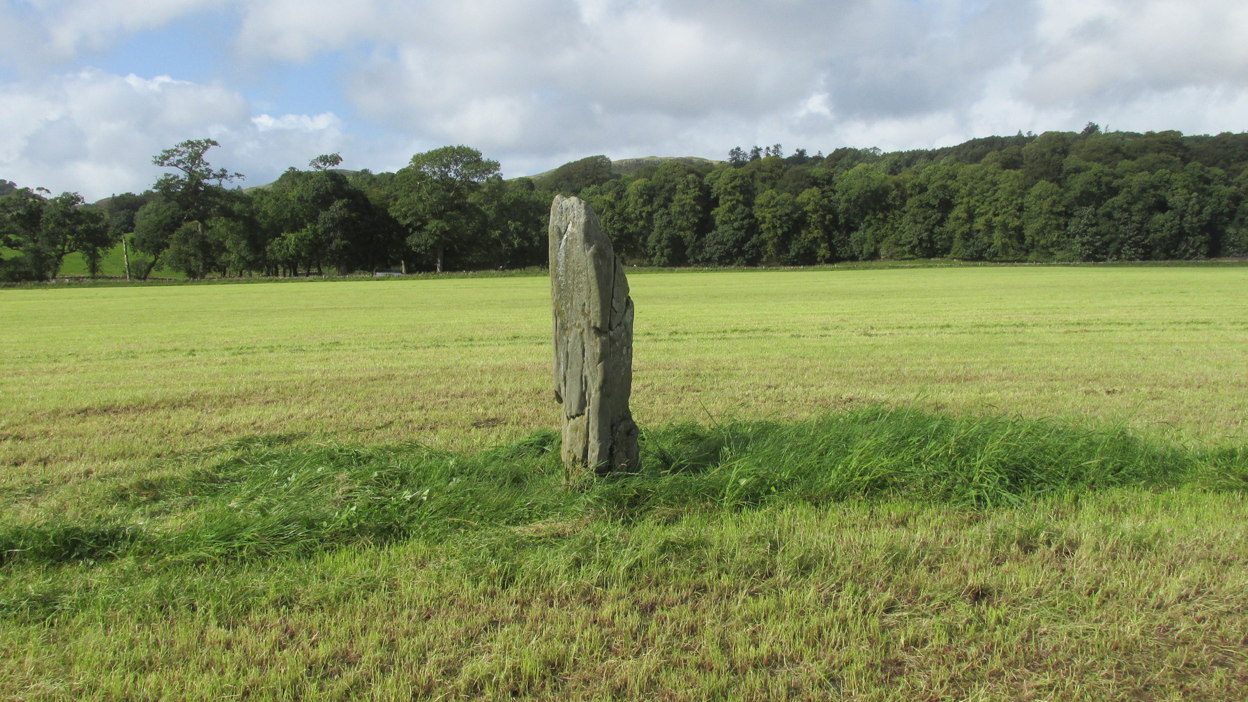
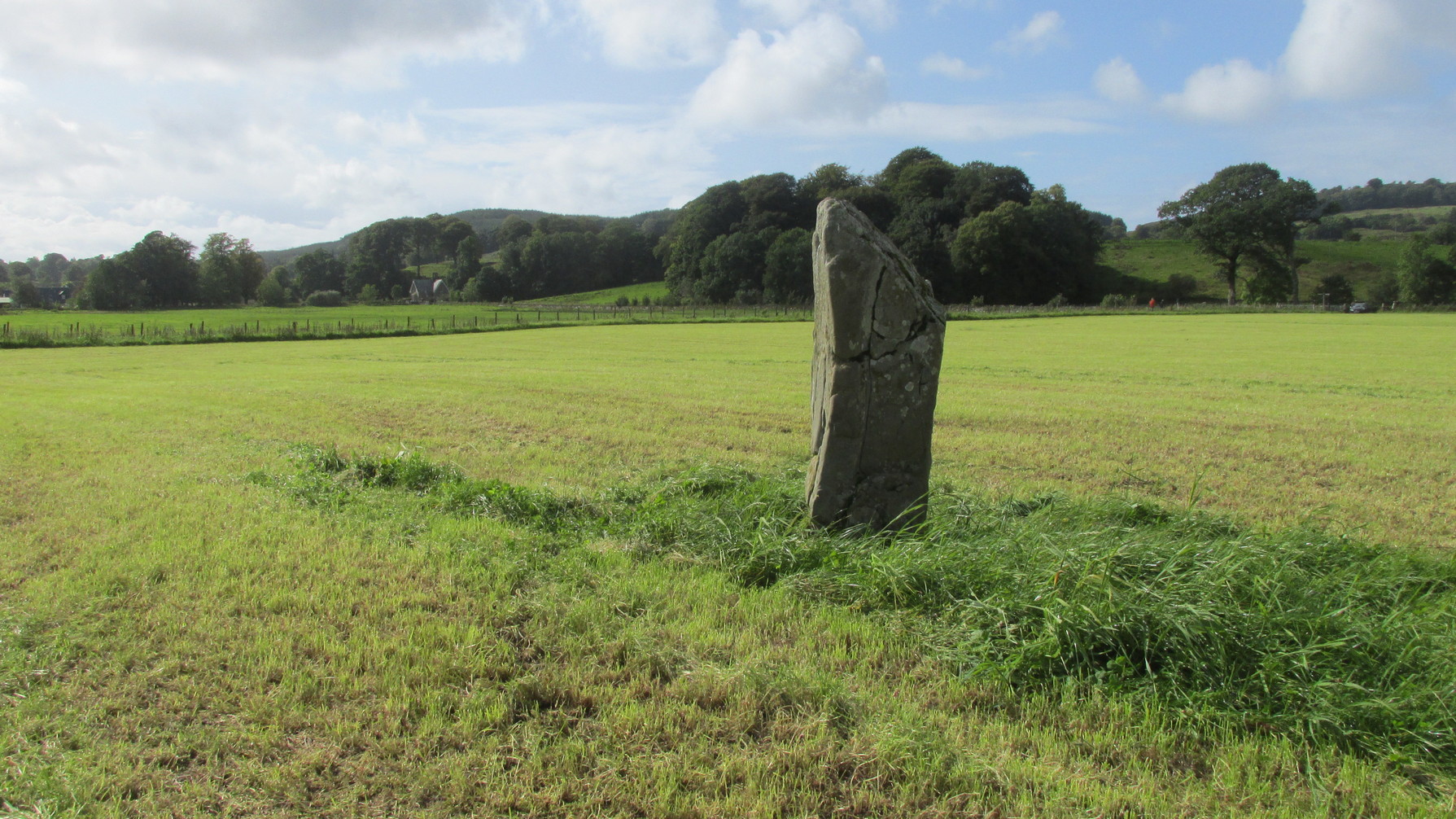
Despite being referenced in a number of prehistoric surveys, archaeological circles say very little about it. When the Royal Commission lads (1988) visited here they told how it was, at the time, leaning to the south-east. It fell over a few years afterwards but has thankfully been resurrected. When the archaeologists fondled around the base of where it had stood, apart from a few packing stones at one side of the monolith, nothing was found.
References:
- Butter, Rachel, Kilmartin – Scotland’s Richest Prehistoric Landscape, HT: Kilmartin 1999.
- Campbell, Marion & Sandeman, M.L.S., “Mid-Argyll: A Field Survey of the Historic and Prehistoric Monuments”, in Proceedings of the Society of Antiquaries, Scotland, volume 95, 1964.
- Pearson, Jane, Kilmartin – The Stones of History, Famedram: Alexandria 1975.
- Ritchie, Graham, The Archaeology of Argyll, Edinburgh University Press 1997.
- Royal Commission on the Ancient & Historical Monuments of Scotland, Argyll – Volume 6: Mid-Argyll and Cowal, HMSO: Edinburgh 1988.
- Ruggles, Clive, “The Stone Alignments of Argyll and Mull,” in Records in Stone (ed. C.L.N. Ruggles), Cambridge University Press 1988.
- Thom, Alexander, Megalithic Lunar Observatories, Oxford University Press 1971.
Acknowledgements: Huge thanks for use of the Ordnance Survey map in this site profile, reproduced with the kind permission of the National Library of Scotland.
© Paul Bennett, The Northern Antiquarian