Holy Well (destroyed): OS Grid Reference – NZ 5236 3421
Also Known as:
-
Freemen’s Well
Archaeology & History
Highlighted on the 1861 OS-map of the area, there is a curious lack of literary references to this holy well until Cuthbert Sharp wrote about it in 1816. Records of an adjacent St. Helen’s Chapel are in plentiful supply, going all the way back to around 1200 CE—although it’s pretty obvious that a water supply would be attached to the chapel, despite its late literary account. Sharp told us:
“This chapel is stated to have been on the warren. According to local tradition, a church once stood near the Freemen’s or St. Helen’s Well, in the Far-well Field, where the ground at present is considerably elevated, and where many hewn stones are constantly discovered, which renders it highly probable that this was the site of the chapel in question.”
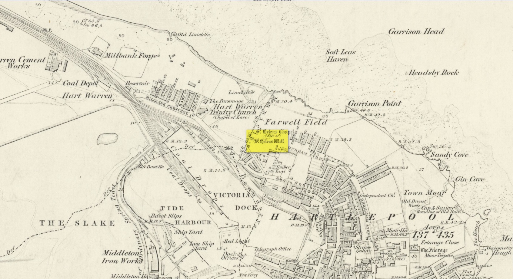
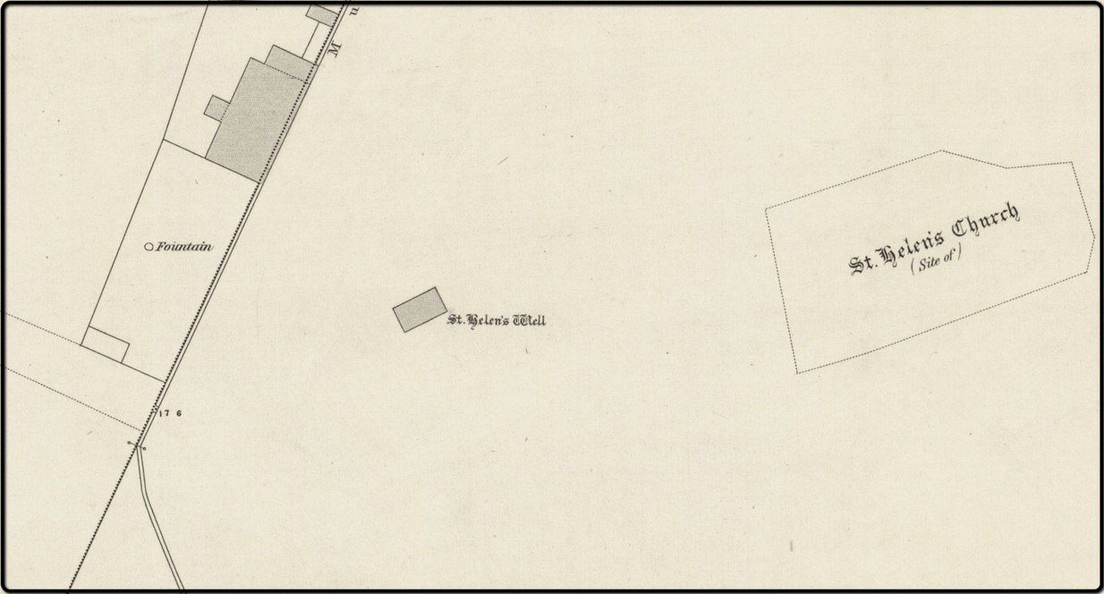
When Robert Surtees visited here in 1823, the well was still visible, but remains of the chapel were negligible. On the 1862 Hartlepool Town map, it would seem that a construction—perhaps a well-house—covered the waters, although whatever it may have been seems to have been destroyed sometime in the 1880s, when the entire area was built over. No remains of this sacred site have been seen since.
References:
- Cuthbert Sharp, A History of Hartlepool, Francis Humble: Durham 1816.
- Surtees, Robert, The History and Antiquities of the County Palatine of Durham (4 volumes), London 1816-40.
Acknowledgements: The map accompanying this site profile is Reproduced with the kind permission of the National Library of Scotland.
© Paul Bennett, The Northern Antiquarian