Cursus Monument: OS Grid Reference – SU 624 910 to SU 629 919
Also Known as:
- Crowmarsh Cursus
Archaeology & History

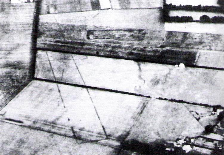
Any remains of this once sacred site are now beneath the airport between Benson and Ewelme, a couple of miles northeast of Wallingford, on the eastern side of the River Thames. A great pity. It was one of the early cursus monuments discovered as a result of Major G.W. Allen’s many aerial surveys in southern England — as shown in his photo here — and subsequently described in Mr Leeds’ (1934) Antiquaries Journal article. A cluster of cursus monuments were built in this part of England in neolithic times, and Roy Loveday (2006) includes the Benson Cursus as an ingredient within the ‘sacred landscape’ region of what he calls “the Dorchester-on-Thames complex.” The Benson Cursus and surrounding regional monuments,
“in fact possesses features that would declare it as an inter-regional sanctuary if encountered in an historical setting; namely, intensity of monument construction, longevity of respect, addition of later exotic monuments with far-flung parallels, large numbers of burials, and placement in a landscape structured, partly at least, by other monuments. These elements recur from Delphi to Uppsala, and from Pachacarmaca to Mecca, at sites that Mircea Eliade (sic) has termed hierophanies — locations where the otherworld of gods and ancestors communicate with the living.”


It’s good to know that the correct paradigms are at last emerging from those archaeocentric minds!
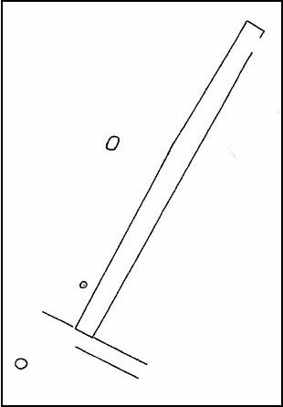
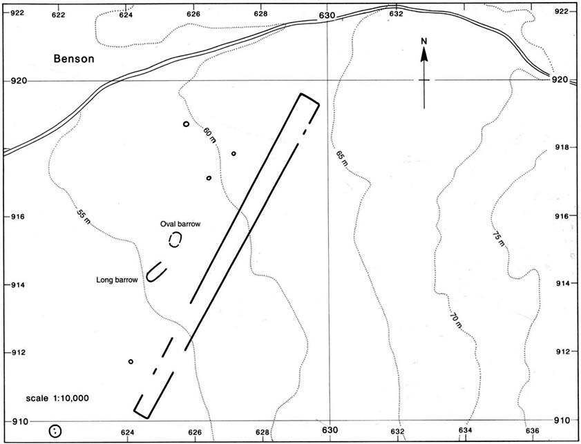
In Mr Loveday’s (2006) plan of the cursus, no entrances could be found into the monument apart from a small section along the northeastern length of the structure (left). From its southernmost point, this giant monument runs along a SSW-NNE alignment — one echoed in other nearby cursuses — for 1192 yards (1090m) and is 71 yards (65m) across, covering 7.3 hectares in all. No internal structures were noted anywhere within the monument.
…to be continued…
References:
- Barclay, A., Lambrick, G., Moore, J. & Robinson, M., Lines in the Landscape, OAU: Oxford 2003.
- Benson, D. & Miles, D., The Upper Thames Valley: An Archaeological Survey of the River Gravels, Oxford Archaeology Unit 1974.
- Eliade, Mircea, The Sacred and the Profane, Harcourt, Brace & World: New York 1959.
- Leeds, E.T., “Rectangular Enclosures of the Bronze Age in the Upper Thames Valley, in Antiquaries Journal, 14:4, 1934.
- Loveday, Roy, Inscribed Across the Landscape, Tempus: Stroud 2006.
© Paul Bennett, The Northern Antiquarian